The 4 Most Amazing Peaks around Rio Maior
Best mountain peaks around Rio Maior are found in a region characterized by rolling hills and fertile plains. Rio Maior serves as a gateway to areas with notable elevated points, locally known as "cabeços," and is close to the Serras de Aire e Candeeiros Natural Park and the Serra de Montejunto. These areas offer diverse landscapes and higher elevations for exploration. The elevated points provide opportunities for outdoor activities and expansive views of the surrounding Ribatejo region.
Best mountain peaks around Rio Maior
- The most popular mountain peaks is Serra de Montejunto Watchtower, a viewpoint that offers a beautiful panorama of the region north of the Serra. It is accessible via a pastoral trail from a picnic park.
- Another must-see spot is Top of the eastern side of Montejunto mountain., a summit known for its superb views. While often windy, this point offers expansive vistas, though some parts of the trail can be technical with loose rock.
- Visitors also love Cabeço da Silheira, a summit that is one of the highest "cabeços" in the region, reaching 200 meters in altitude. It houses water tanks for the local public water network and can be reached via a steep asphalt road or dedicated trails suitable for mountain biking.
- Rio Maior is known for its "cabeços" or small hills, and higher elevations within nearby natural parks. These elevated points offer opportunities for hiking, mountain biking, and panoramic views of the Ribatejo region.
- The mountain peaks around Rio Maior are appreciated by the komoot community, with more than 10 upvotes and 8 photos shared.
Last updated: July 9, 2026
Serra de Montejunto Watchtower
Highlight • Viewpoint
Translated by Google •
Tip by

Top of the eastern side of Montejunto mountain.
Highlight • Summit
A part of the trail that passes through this point is a bit technical with some loose rock, it may not be very recommended for gravel bikes with thin tires.
Tip by

Sign up now to discover places like this
Get recommendations on the best single tracks, peaks, & plenty of other exciting outdoor places.
Sign up for free
Cabeço da Silheira
Highlight • Summit
You can reach Cabeço da Silheira via a small asphalt road (very steep) or via one or two existing trails. If you choose to go along the trails, we recommend a mountain bike.
Translated by Google •
Tip by
Cabeço do Monfarinho - Elevation 308 m
Highlight • Summit
Showing Translation
Tip by
Espigão Peak - Elevation 460 m
Highlight • Summit
Showing Translation
Tip by
Start today with a free account
Your next adventure awaits.
Login or Signup
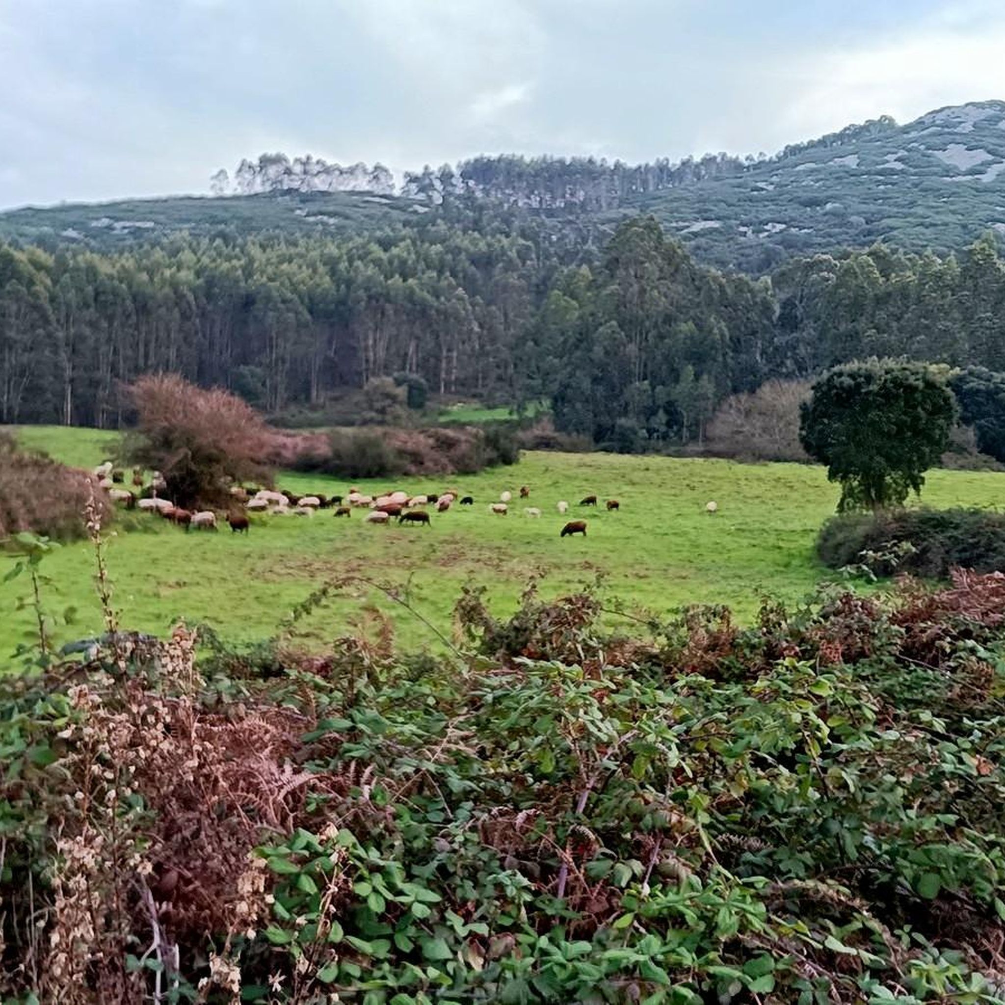
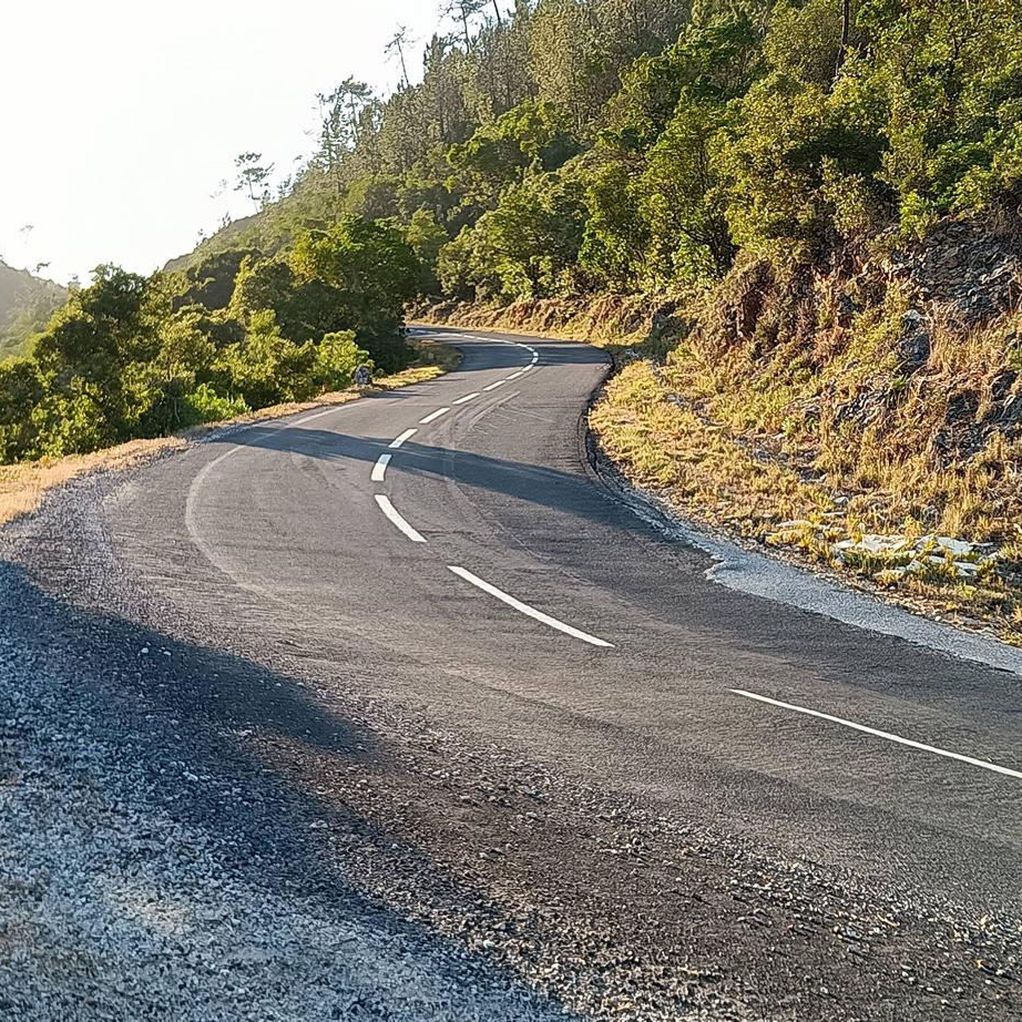
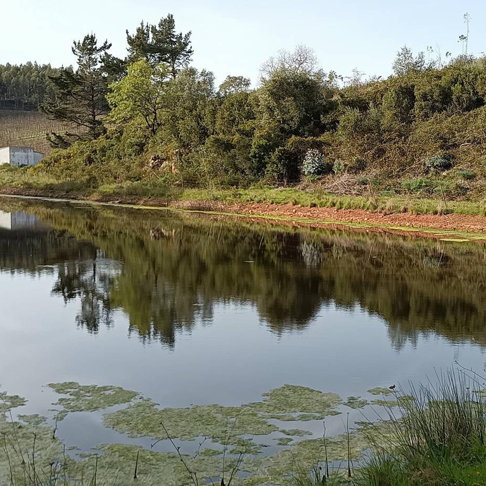
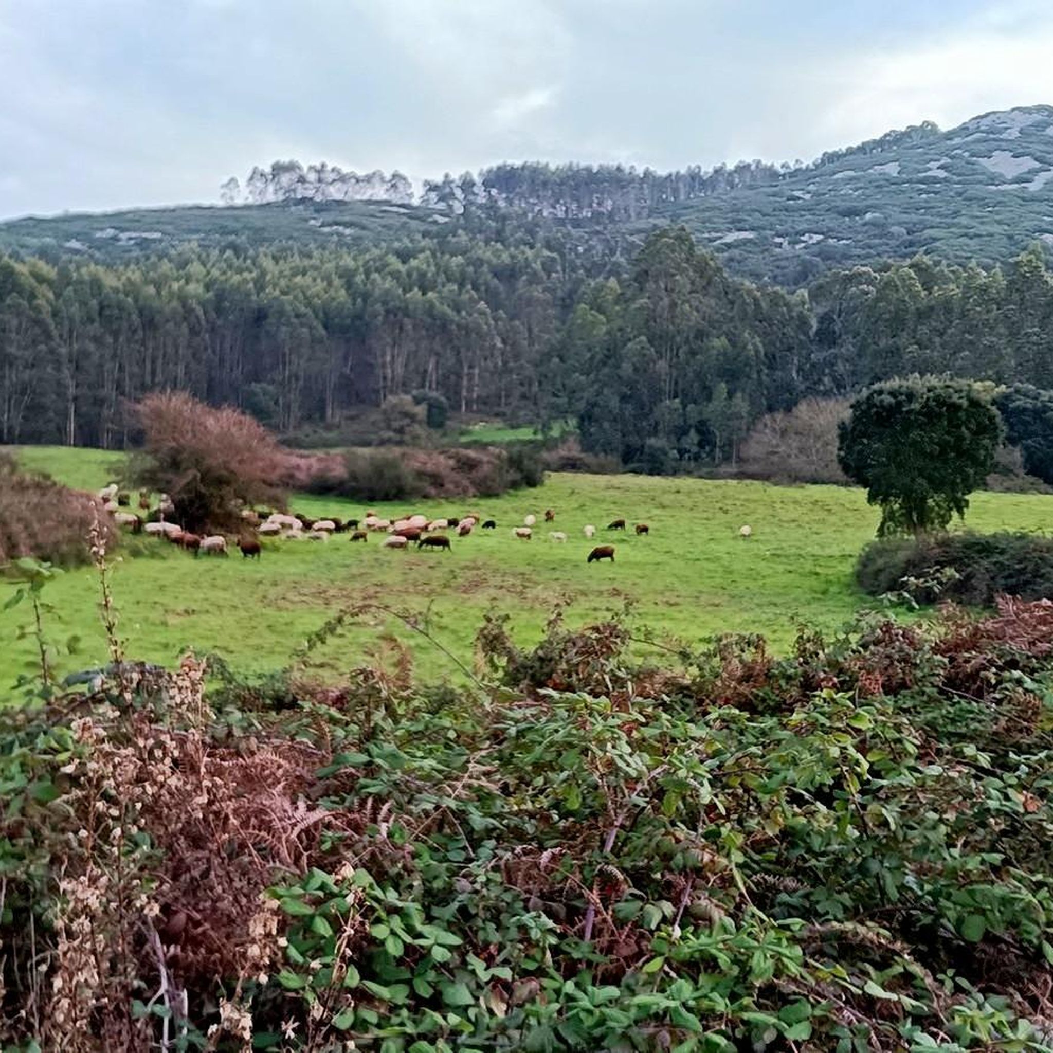
Tips from the Community

The real access trail to Cabeço de Monfarinho does not start at the point indicated on the Komoot map, but about a hundred meters before. Pay attention to the path that will lead you to it.
0
0
The geodetic marker that marks this peak is a few dozen meters from the trail that passes next to it, and is only accessible on foot.
0
0
Locally, these small hills are called "cabeços". Cabeço da Silheira is one of the highest in the region, reaching 200m in altitude. It is therefore natural that it was chosen as the site for the installation of water tanks that supply the region's public water supply network. You can reach Cabeço da Silheira via a small asphalt road (very steep) or via one or two existing trails. If you choose to go along the trails, we recommend a mountain bike.
1
0

The Serra de Montejunto Forest Watch Station can be accessed via a pastoral trail from the picnic park. It offers a beautiful panorama of the region north of the Serra.
3
0
Usually this is a windy place, but the view is superb. A part of the trail that passes through this point is a bit technical with some loose rock, it may not be very recommended for gravel bikes with thin tires.
2
0
Frequently Asked Questions
What are the most notable elevated points and peaks around Rio Maior?
The region around Rio Maior features several significant elevated points, often locally called "cabeços." Key peaks include Cabeço da Silheira, known for its local water supply infrastructure, and Espigão Peak, which offers a rewarding challenge for hikers. The nearby Serra de Montejunto also hosts prominent points like the Serra de Montejunto Watchtower and the Top of the eastern side of Montejunto mountain.
What kind of views can I expect from the peaks around Rio Maior?
From these elevated points, you can enjoy expansive panoramic views of the surrounding Ribatejo region. For instance, the Serra de Montejunto Watchtower provides a beautiful panorama of the area north of the Serra. The eastern side of Montejunto mountain also offers superb vistas, though it can be windy.
Are there hiking trails near these mountain peaks?
Yes, the peaks around Rio Maior are excellent for hiking. You can find various trails catering to different experience levels. For a comprehensive list of routes, explore the Hiking around Rio Maior guide, which includes options like the moderate 'Olho de Água de Alcobertas loop'.
Can I go mountain biking on these peaks?
Absolutely. Many trails leading to these peaks are suitable for mountain biking. For example, Cabeço da Silheira can be reached via dedicated trails recommended for mountain bikes. The Serra de Montejunto also has trails, though some parts can be technical with loose rock. For more options, check out the MTB Trails around Rio Maior guide.
Which peak is considered one of the highest in the immediate Rio Maior region?
Cabeço da Silheira, at an altitude of 200 meters, is considered one of the highest "cabeços" in the immediate Rio Maior region. It's distinctive for housing water tanks that supply the local public water network.
What should I know about accessibility to these peaks?
Access varies by peak. Cabeço da Silheira can be reached via a steep asphalt road or trails. For Espigão Peak, the geodetic marker is only accessible on foot from the main trail. When heading to Cabeço do Monfarinho, pay attention as the access trail might deviate slightly from what's shown on some maps.
Are there any challenging peaks for experienced hikers near Rio Maior?
Yes, Espigão Peak, reaching an elevation of 460 meters, offers a rewarding challenge for hikers. Its geodetic marker is a short distance from the main trail and is accessible only on foot, requiring a dedicated effort.
What other natural attractions are near the peaks around Rio Maior?
The region's proximity to the Serras de Aire e Candeeiros Natural Park means that exploring these elevated areas can be combined with visits to limestone caves and diverse natural landscapes. The park is known for its karst morphology, underground waterways, and unique cave-dwelling fauna.
What is the best time to visit the peaks around Rio Maior?
The peaks around Rio Maior are generally enjoyable for outdoor activities throughout much of the year. Spring and autumn offer pleasant temperatures for hiking and biking. Summers can be warm, so early mornings or late afternoons are ideal. Winters are mild, making it possible to explore year-round, though some trails on Serra de Montejunto can be windy.
Are there family-friendly options for exploring the peaks around Rio Maior?
While specific 'family-friendly' categories aren't listed for all peaks, the smaller "cabeços" like Cabeço da Silheira, with its accessible asphalt road, can be suitable for families looking for a less strenuous ascent. Always check the trail difficulty and conditions before heading out with children.
What outdoor activities are available in the wider Rio Maior area?
Beyond exploring the peaks, the Rio Maior area offers a variety of outdoor activities. You can find numerous options for hiking, mountain biking, and running. The region is also famous for its inland salt pans (Salinas de Rio Maior), which offer a unique natural attraction.
Most popular attractions around Rio Maior

Get inspired with the komoot mobile app


Explore more
See even more amazing summits around Rio Maior with these guides:
