The 9 Most Amazing Peaks around Weiach
Best mountain peaks around Weiach are characterized by elevated points offering panoramic views and historical significance within the local landscape of the Dielsdorf district in Zurich, Switzerland. These locations provide accessible opportunities to appreciate the broader Swiss scenery, including distant Alpine ranges. The area features a mix of natural high points and sites with historical intrigue, making it suitable for outdoor exploration. Visitors can find viewpoints, historical sites, and natural monuments that serve as summits.
Best mountain peaks around Weiach
…Last updated: October 10, 2026
Lookout
Highlight • Viewpoint
Translated by Google •
Tip by

Burghorn
Highlight • Viewpoint
Translated by Google •
Tip by
Sign up now to discover places like this
Get recommendations on the best single tracks, peaks, & plenty of other exciting outdoor places.
Erdmannliloch
Highlight • Cave
Translated by Google •
Tip by

Rhinsberg Prehistoric Hillfort
Highlight • Historical Site
Translated by Google •
Tip by

Bad Zurzach
Highlight • Settlement
Zurzachs as place of pilgrimage after the death of the holy Verena in the year 344 n. Chr. The burial …
Translated by Google •
Tip by

Sign up for free to discover even more peaks around Weiach.
Already have an account?
Start today with a free account
Your next adventure awaits.
Tips from the Community

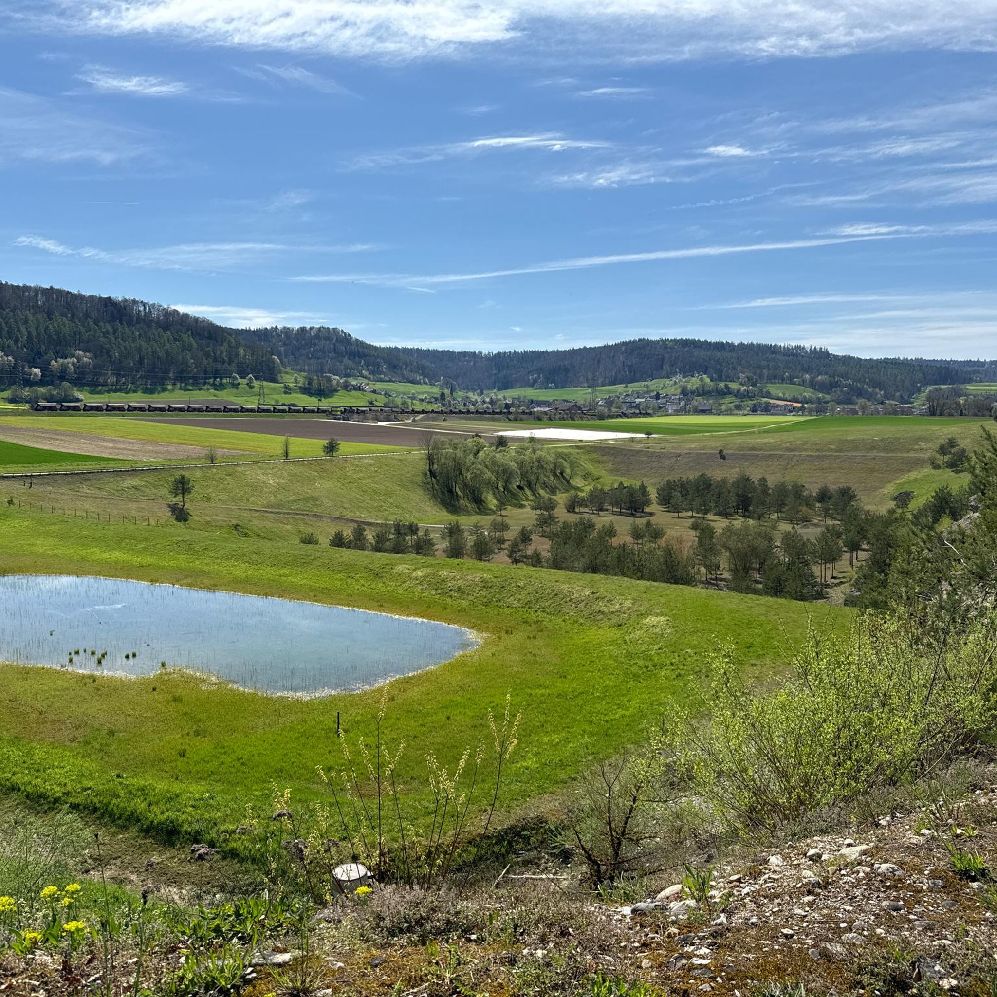
At 859 meters, the Burghorn is the highest point on the Lägerngrat. From here, you can enjoy spectacular panoramic views: to the south over the Limmat Valley to the Alps 🏔️, and to the north into the Surb Valley and the Aargau Jura 🌳 – a perfect place for a break with a view!
10
0

A visit to the Erdmanndliloch is a MUST for bikers.
0
2

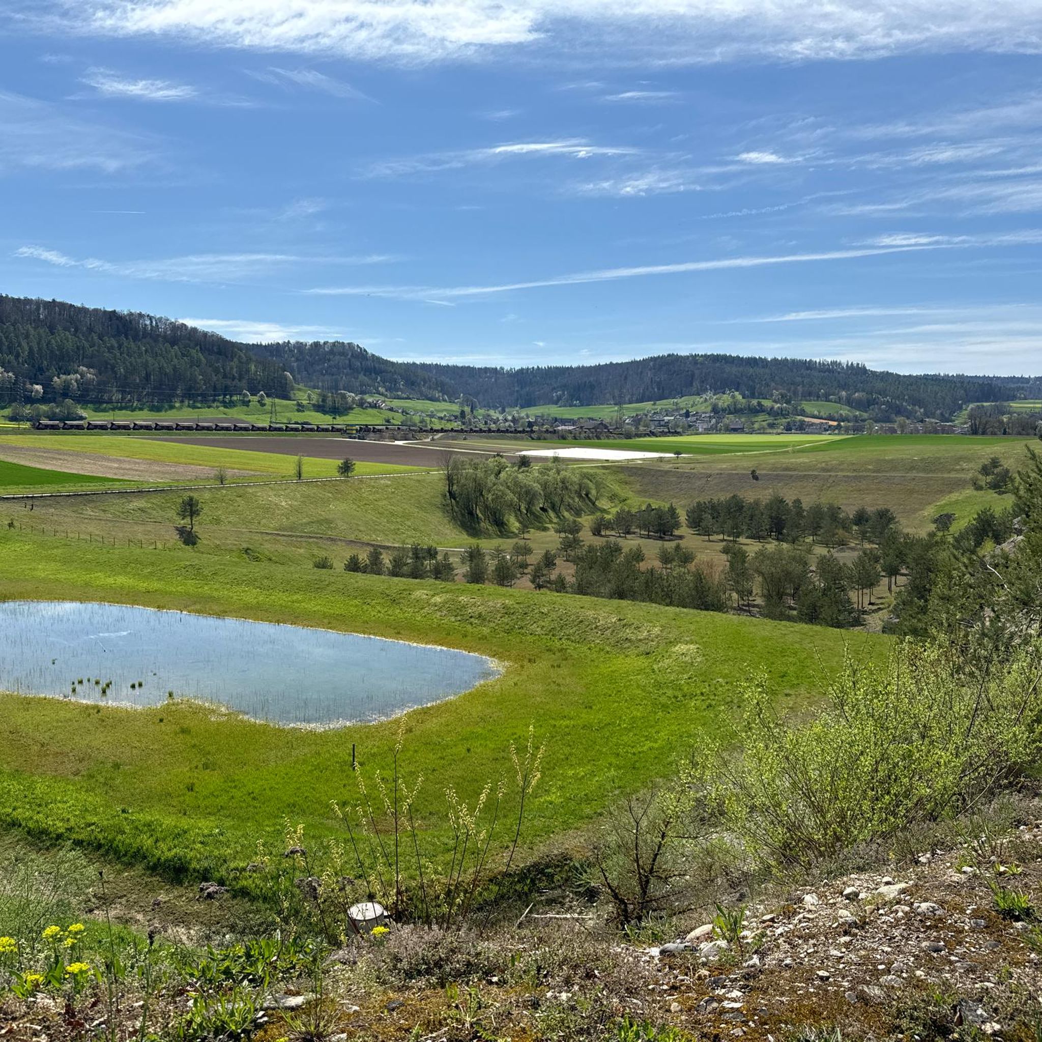
There is also a watchtower ruin on the Rhinsberg. It was used by the canton of Zurich until the 19th century, but today only the stone foundations can be seen.
0
0
Arriving at the foot of the Erdmanndliloch is already exhausting enough, climbing the Erdmanndliloch with your biker boots is also a breathtaking effort. Once you've done it😃😀😃
1
1
Without many words, the Erdmandli Loch is unique, in an impressive mystical nature
1
1

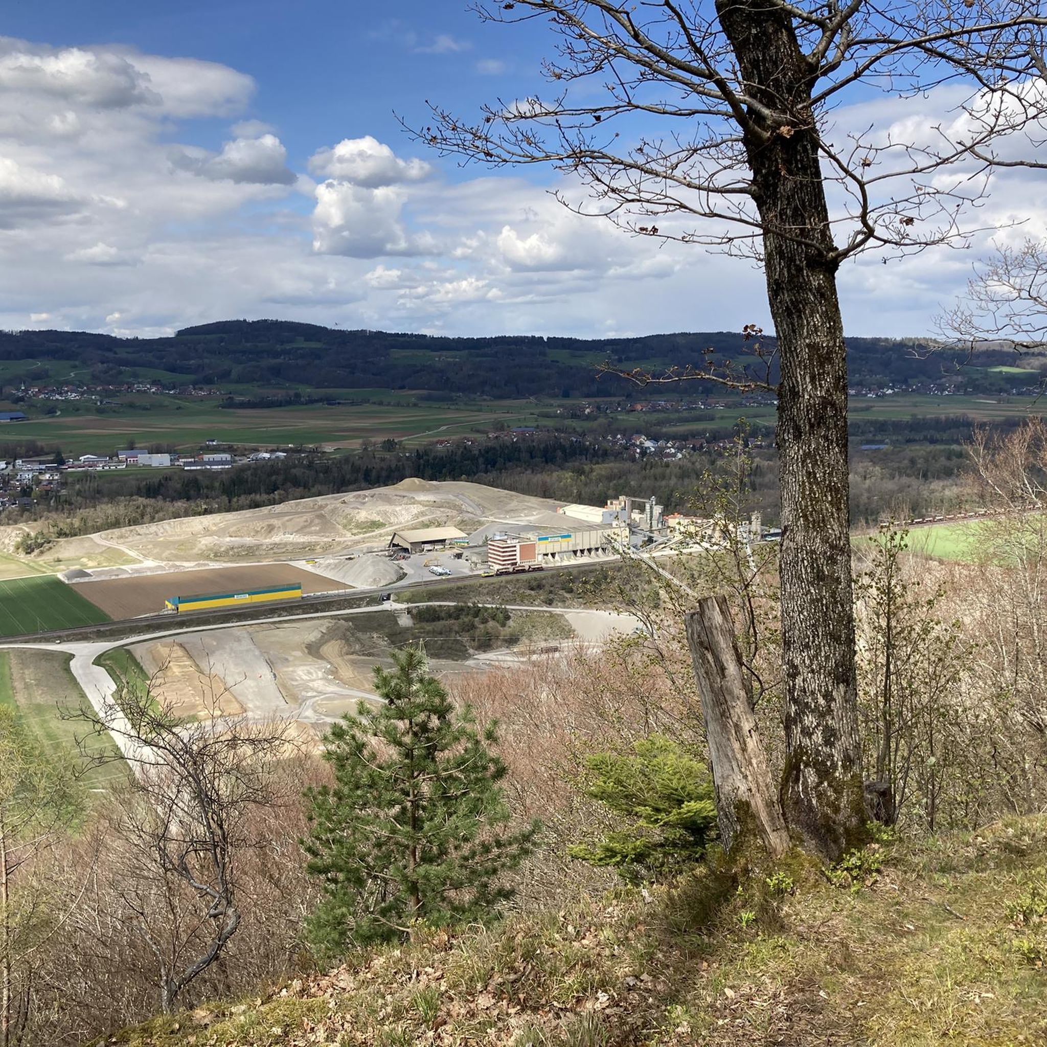
Great view with barbecue area, can be easily connected to the Irchelturm.
3
0


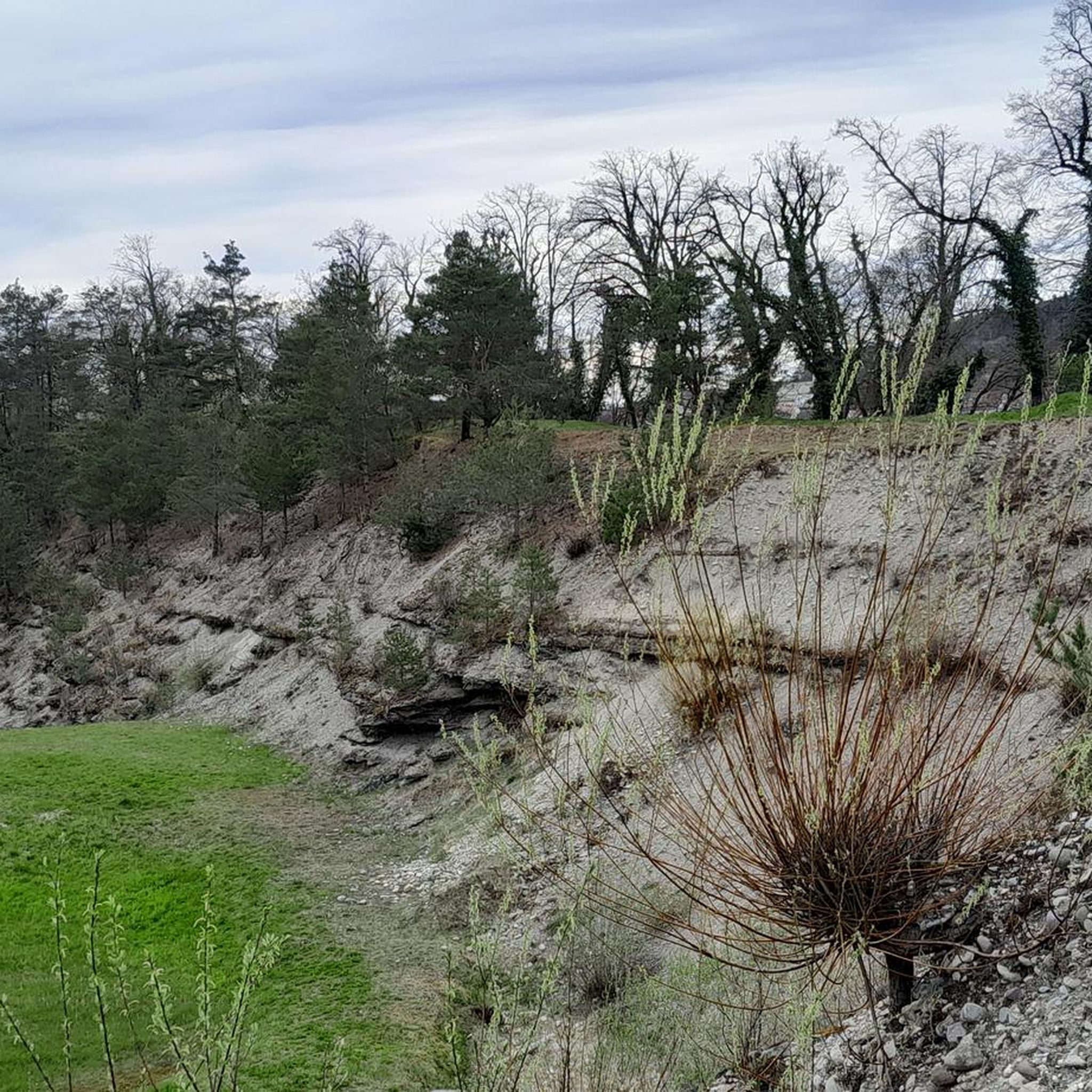
The Grottenburg Hohfluh, also Balmburg Hohfluh, on the map of Switzerland as Erdmännliloch, also Erdmannliloch, is the ruin of a medieval cave castle near Bachs in the canton of Zurich. It is the only known cave castle in the canton of Zurich (Wikipedia),
4
0
Frequently Asked Questions
What are the most scenic viewpoints around Weiach?
For breathtaking panoramic views, visit Burghorn, one of the highest points on a narrow ridge, offering vistas of the Appenzeller, Glarus, Uri, and Bernese Alps. Another excellent spot is the Hochwacht Irchel viewpoint, which provides beautiful views towards Eglisau and Buchberg. Additionally, the Altberg Observation Tower, though not a natural peak, offers expansive views of Weiach, Zurich, and distant Alps from its 30-meter height.
Are there any historical sites among the elevated points near Weiach?
Yes, the region boasts several points of historical interest. The Erdmannliloch is a unique Nagelfluh cave believed to have been a grotto castle in the Middle Ages, making it the only known cave castle in the Swiss Plateau. The Rhinsberg Prehistoric Hillfort is an old refuge on top of the Rhinsberg, dating back to the late Bronze Age. The Hochwacht Irchel viewpoint also has historical significance, having been part of the high-level alarm system of the canton of Zurich during the Roman period.
What outdoor activities can I do near the mountain peaks around Weiach?
The area around Weiach offers a variety of outdoor activities. You can explore numerous routes for mountain biking, gravel biking, and general cycling. For mountain biking, consider trails like the 'Weiacher Höhe – Alter Züriweg Trail loop from Kaiserstuhl' or the 'Wannenberg Viewpoint – Küssaburg Ruins loop from Zweidlen' found in the MTB Trails around Weiach guide. Gravel biking options include routes like 'Railway viaduct near Zweidlen – Old Viaduct Over the Glatt loop from Eglisau' from the Gravel biking around Weiach guide. For general cycling, the Cycling around Weiach guide features routes such as 'Two stages of the Glatt Route – Glattfelden to Rapperswil'.
Are there family-friendly elevated points to visit near Weiach?
Yes, several elevated points are suitable for families. The Burghorn is considered family-friendly, offering a small bench for a break with a view. The Hochwacht Irchel viewpoint is also family-friendly and features a good BBQ area. Additionally, Hurbig is a family-friendly viewpoint with a cozy fire pit, benches, a grill, and a playground nearby.
What is the best time of year to visit the elevated points around Weiach?
The elevated points around Weiach can be enjoyed throughout the year. For clear, expansive views, good weather is ideal, especially when climbing the Altberg Observation Tower to see the distant Alps. In winter, the bare trees at locations like Hurbig can offer particularly great views. Spring and autumn provide pleasant temperatures for outdoor activities and hiking.
What do visitors enjoy most about the elevated points in the Weiach area?
Visitors particularly appreciate the fantastic panoramic views, especially from spots like Burghorn, which offers vistas of the Alps. The historical significance of sites like the Erdmannliloch and the Rhinsberg Prehistoric Hillfort also captivates many. The presence of amenities like BBQ areas at Hochwacht Irchel viewpoint and fire pits at Hurbig adds to the enjoyment, making these locations perfect for breaks and gatherings.
Are there any natural monuments or unique geological features to see?
Yes, the region features several natural monuments. The Erdmannliloch is a notable Nagelfluh cave, which is a unique geological formation. Both Burghorn and Hochwacht Irchel viewpoint are also classified as natural monuments, offering not just views but also representing significant natural high points in the landscape.
How accessible are these elevated points by public transport or car?
While specific public transport details for each individual point are not provided, Weiach itself is a municipality in the Dielsdorf district of Zurich, suggesting reasonable accessibility. For driving, many hiking areas typically have parking available, though it's always advisable to check local signage. For instance, the Altberg Observation Tower is located on the Altberg, and while a path leads up, specific parking information would need local inquiry.
Can I find places to eat or refresh myself near these elevated points?
Yes, there are options for refreshment. Adjacent to the Altberg Observation Tower, you'll find the Waldschänke, a refreshment stop open daily except Tuesdays. Additionally, Hurbig offers a cozy fire pit and a simple hut that can be rented, providing a place to rest and eat. For broader options, the nearby villages and towns in the Dielsdorf district would offer cafes and pubs.
Are there any lesser-known or 'hidden gem' elevated spots worth exploring?
While the main highlights are well-regarded, the Rhinsberg Prehistoric Hillfort could be considered a hidden gem for those interested in history and a more rugged exploration. There isn't an official path, but a clearly visible beaten path leads up to this old refuge, offering a glimpse into the area's Bronze Age past without the crowds of more popular viewpoints.
Are dogs allowed on the trails leading to these elevated points?
Yes, the Burghorn is categorized as dog-friendly, indicating that trails leading to this viewpoint are suitable for walks with your canine companion. It's generally a good practice to keep dogs on a leash and follow local regulations when exploring natural areas.
Most popular attractions around Weiach

Get inspired with the komoot mobile app


Explore more
See even more amazing summits around Weiach with these guides:
