Top 19 Lakes around Lingewaal
Best lakes around Lingewaal are primarily found within the broader West Betuwe municipality, where Lingewaal is now situated. The region is characterized by its riverine landscape, notably the Linge River, and several recreational water bodies. These water bodies often originated from sand extraction, creating artificial lakes and swimming ponds. The area offers diverse natural settings for outdoor activities, combining water recreation with forest and floodplain environments.
Best lakes around Lingewaal
- The most popular lakes is Lingebos Recreational Lake, a…
Last updated: June 26, 2026
Oudendijkse Gat, Groesplaat nature reserve
Highlight • Natural
Translated by Google •
Tip by

Entrance to De Kloosterwiel
Highlight • Lake
Translated by Google •
Tip by

Sign up now to discover places like this
Get recommendations on the best single tracks, peaks, & plenty of other exciting outdoor places.
Sign up for free
Het Pompveld
Highlight • Forest
Translated by Google •
Tip by

Bergsche Maas Bridge
Highlight • Bridge
Translated by Google •
Tip by
Lingebos Recreational Lake
Highlight • Lake
For the construction of, among other things, the cloverleaf at Gorinchem and the widening of the A15, sand …
Translated by Google •
Tip by

Sign up for free to discover even more lakes around Lingewaal.
Sign up for free
Already have an account?
Start today with a free account
Your next adventure awaits.
Login or Signup
Popular around Lingewaal
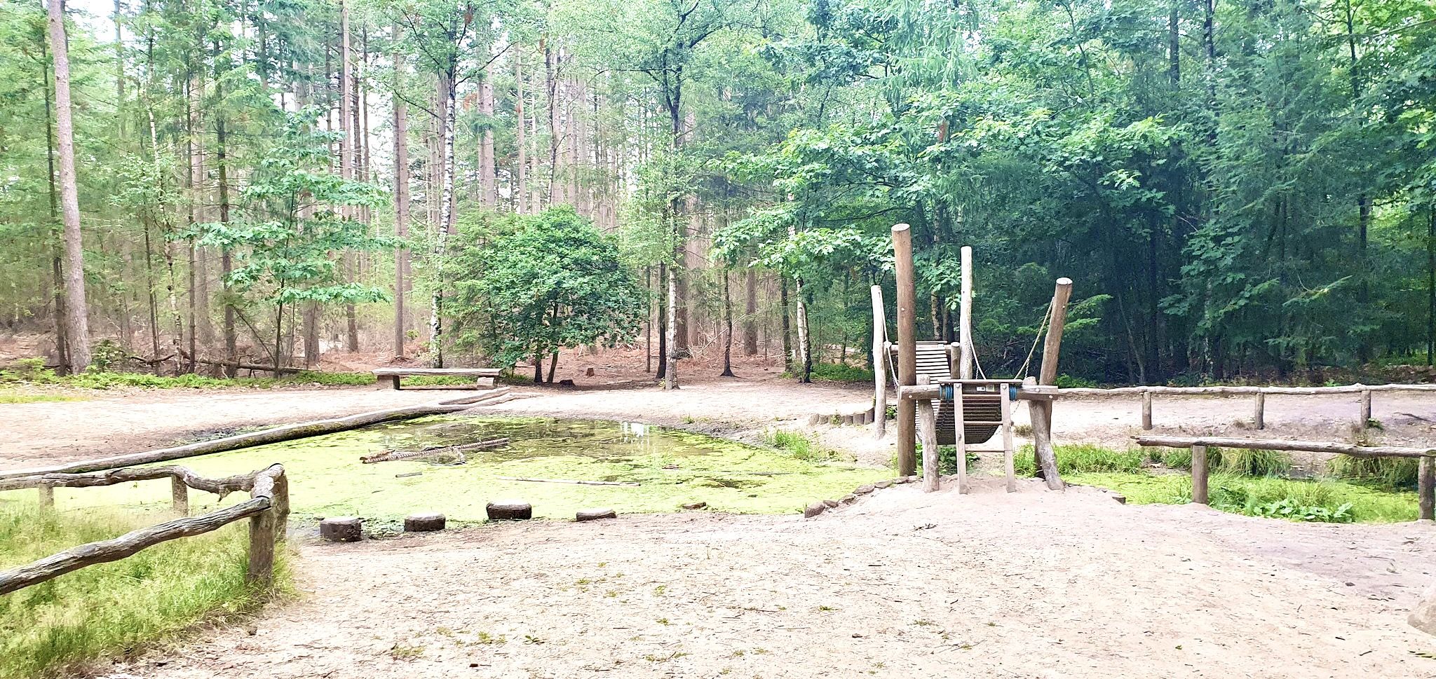
Romping in nature – 20 walks around play forests
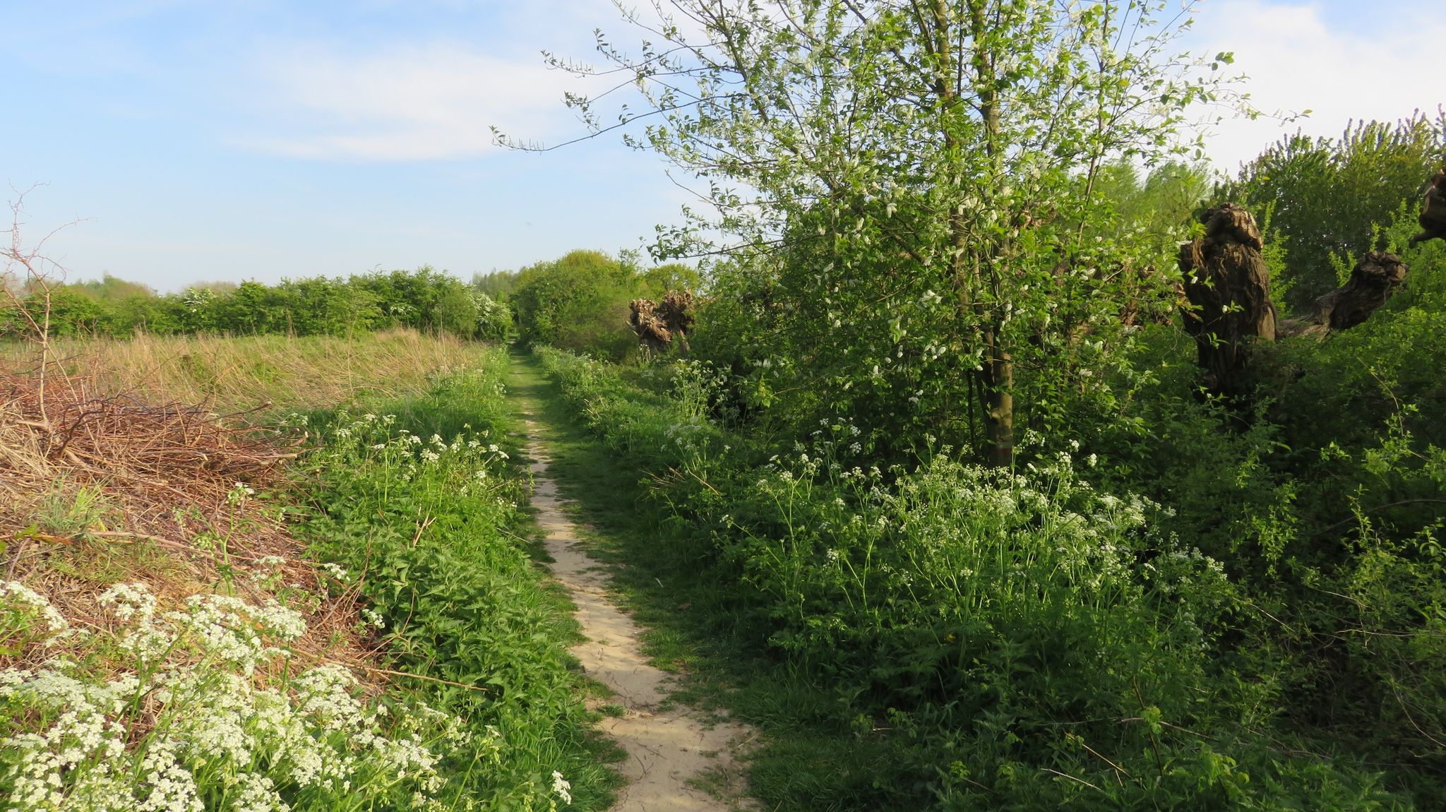
Clogs Trails with Children – 10 hiking adventures in Gelderland and Utrecht
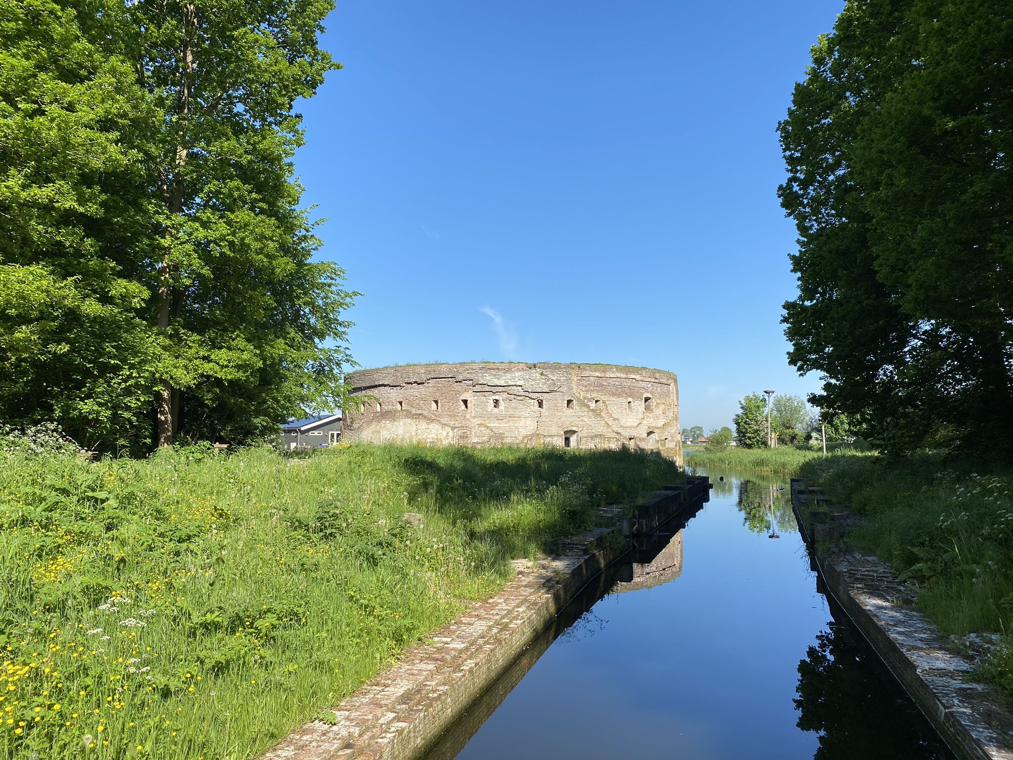
History and Nature – walking the Waterliniepad
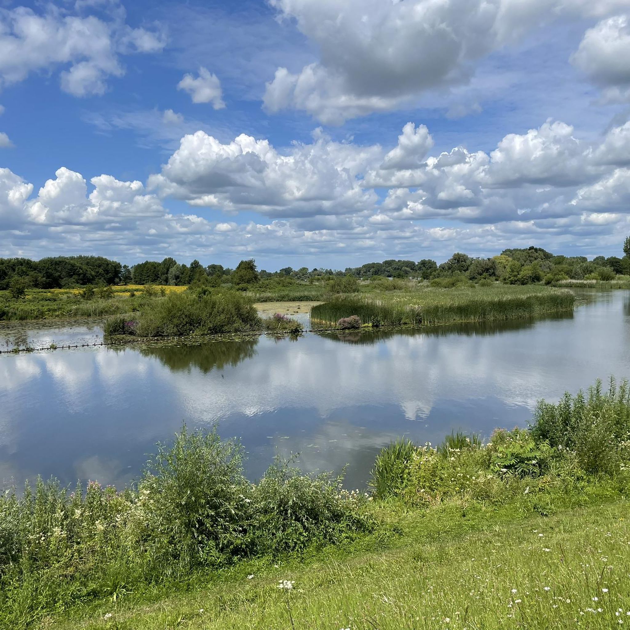
Hiking around Lingewaal
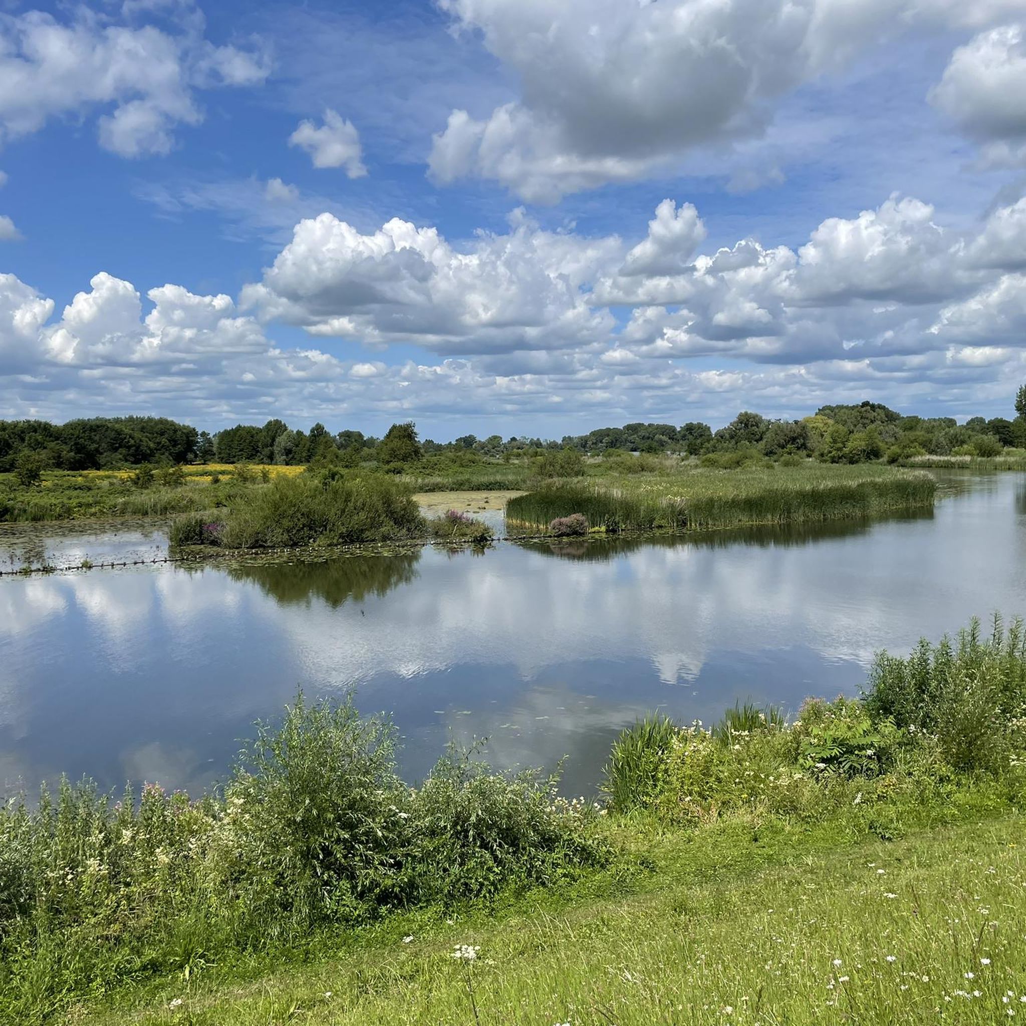
Road Cycling Routes around Lingewaal
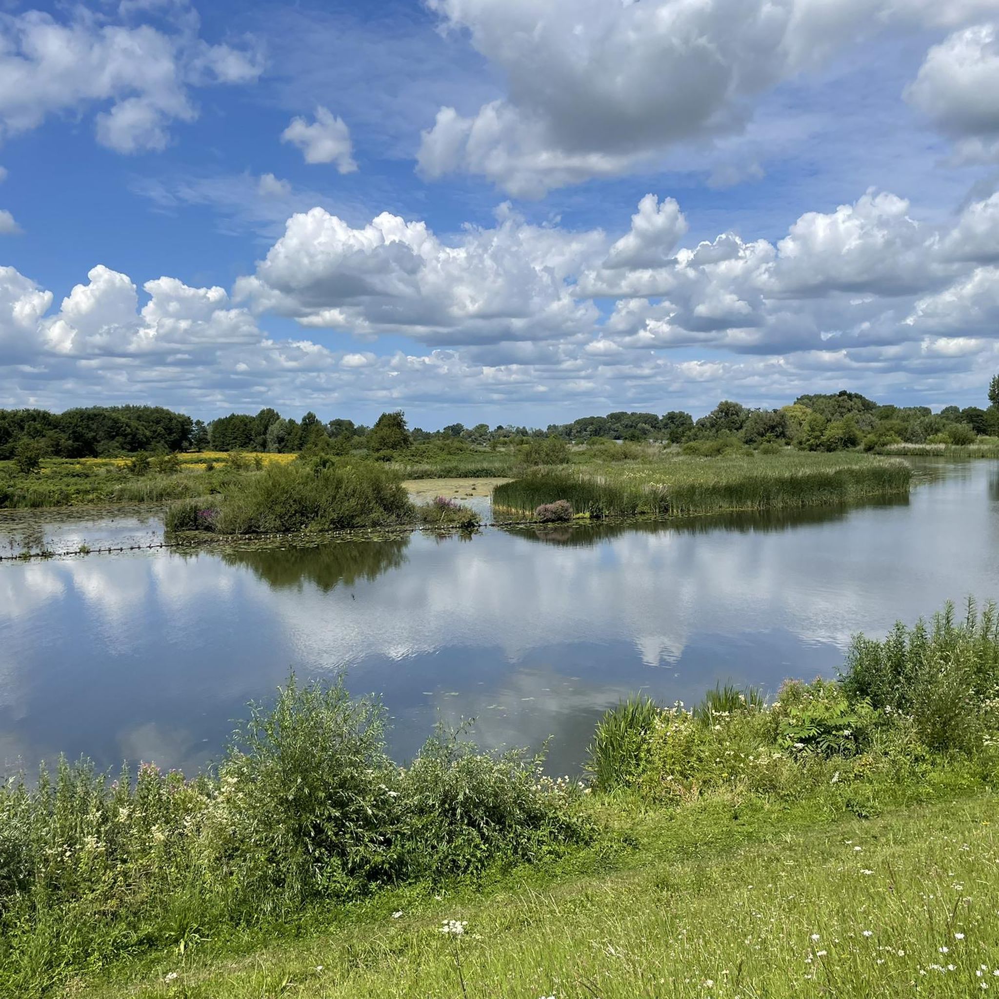
Cycling around Lingewaal
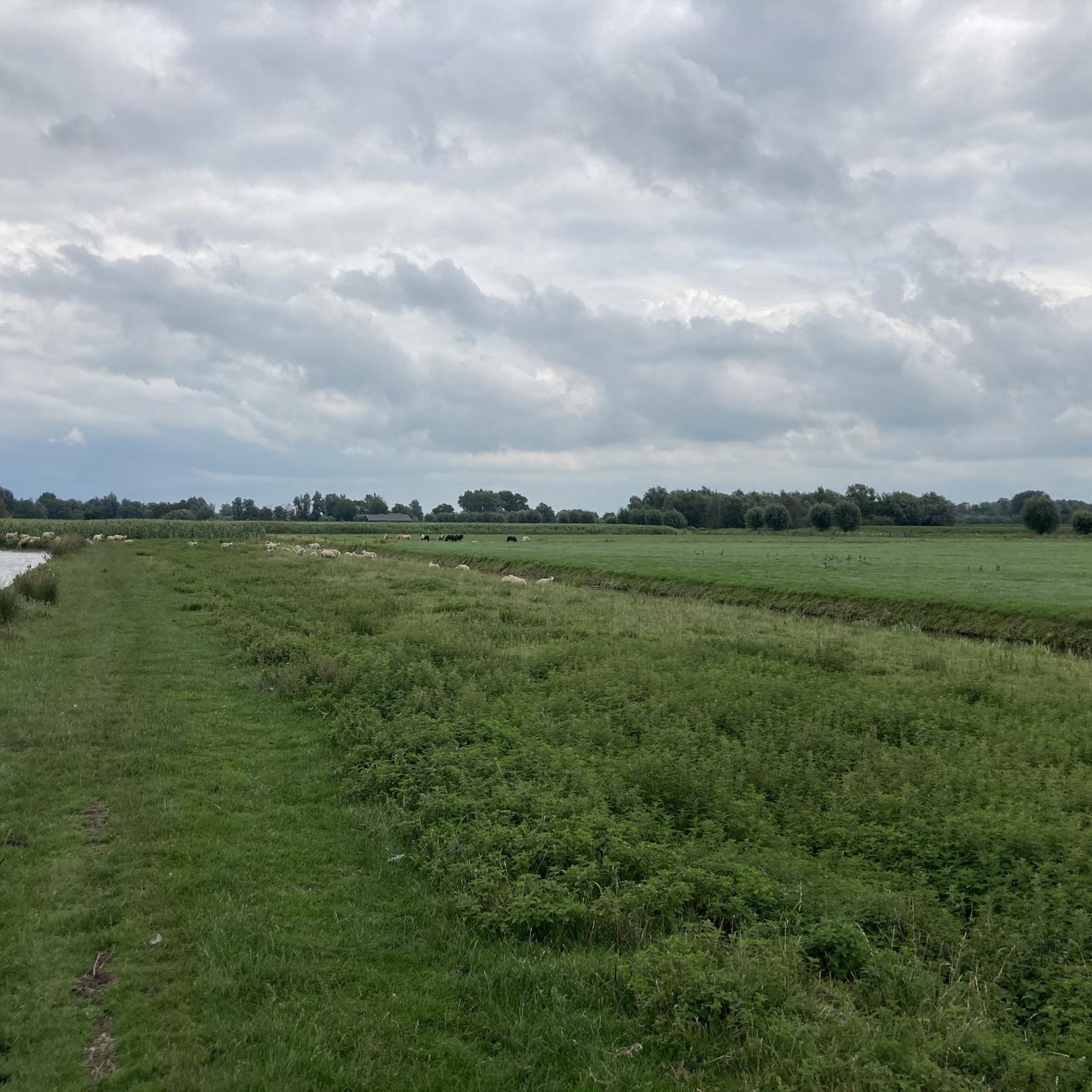
Running Trails around Lingewaal
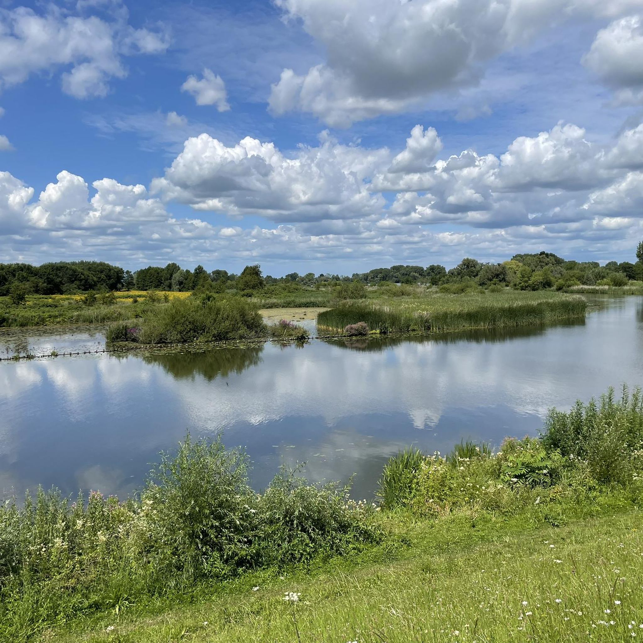
MTB Trails around Lingewaal

Gravel biking around Lingewaal
Other adventures around Lingewaal

Tips from the Community

The Pompveld in Almkerk is a nature reserve between Andel and Babyloniënbroek. The nature reserve is located in the Land van Heusden en Altena. The area is an oasis of peace where you can take beautiful walks. The area is owned by the Brabants Landschap. Walking on narrow and wide paths along pollard willows, meadows and smaller forests. While walking you will also encounter deer and many species of birds. The Pompveld is a nature reserve with special flora and fauna. There is also a walking route in the Pompveld of around 5 kilometers. At the Pompveld we also find the Almbos. In the middle of the Pompveld nature reserve is an authentic duck decoy from the early 18th century. There is also a pond, bordered by pollard willows and reed collars. The sunlight reflects over the water and makes it liquid gold. The Pompveld is a heavenly spot for a beautiful short walk. Source: www.heerlijkwandelen.nl
1
0

The Groesplaat is a nature reserve located in the floodplains of the Boven-Merwede. The nature reserve is quite young, it was completed in 1999. In the same year, a channel was also excavated that runs parallel to the river. The channel is now an important place for fish to spawn, and therefore also a very attractive piece of nature for fish eaters such as the cormorant and the osprey.
0
0

Local recreation area with large parking areas and accordingly popular to overcrowded on weekends.
2
0

The Kloosterwiel was created when the Waal broke through a levee. This happened before there were dikes in the Bommelerwaard. Such a levee breach is called a crevasse and forms in an elongated, shallow pool of water. This is still clearly visible at the Kloosterwiel. The Kloosterwiel probably arose in the tenth century, at least before the dikes that were built in the Bommelerwaard between the tenth and eleventh centuries. The wheel was previously called St. Peter's Wheel. To counteract the strong seepage from the wheel to the environment, a seepage dam was placed around the entire wheel in the past. The western seepage dam was more to the west. The seepage may have been so strong that an additional seepage dam was constructed. It can therefore be quite wet here. The water level of the wheel rises and falls with the river, the influence of the Waal is clearly felt here. The footpaths are now partly over these higher and drier seepage dams.
2
0

Groesplaat is a new nature reserve in the floodplains between the Boven-Merwede and Oudendijk, between Woudrichem and Sleeuwijk. It measures 168 ha. The Groesplaat is a largely open floodplain. A striking feature is the secondary channel running parallel to the river. Along this channel there is a swamp vegetation which gradually changes into moist to dry grasslands and brushlands. Reed swamp and rising willow forest can be found in various places. Along the river are sandy beaches followed by a sandy embankment. The nature reserve was completed in 1999 and has been managed by Brabants Landschap ever since. The area is freely accessible between sunrise and sunset. Three walking routes have been set out, but it is not allowed to deviate from the paths. The Groesplaat is separated from the Sleeuwijkse Waard by the port of Sleeuwijk.
0
0

The Lingebos was officially opened on June 26, 1969 by Princess Beatrix. For the construction of, among other things, the cloverleaf at Gorinchem and the widening of the A15, sand was extracted from the Lingebos area. This created a recreational lake. The recreational lake is suitable for swimming, canoeing, fishing and diving. De Kleine Waterlinie play forest is a true adventure for every child.
3
0
The Bergsche Maas bears its name from the Heusdens Kanaal to Geertruidenberg (the Amer).
5
0

Beautiful bridge that won a concrete prize in 1991
4
0
Frequently Asked Questions
What kind of lakes can I expect to find around Lingewaal?
The lakes around Lingewaal, now part of the West Betuwe municipality, are primarily recreational water bodies. Many, like the Lingebos Recreational Lake, originated from sand extraction. You'll also find natural swimming ponds and 'wielen' (lakes formed by levee breaches), such as the Entrance to De Kloosterwiel, which are influenced by river levels.
What activities are popular at Lingebos Recreational Lake?
The Lingebos Recreational Lake is excellent for swimming, fishing, and canoeing. The surrounding Lingebos area also features picnic spots, a kiosk, and a popular adventurous play forest called 'De Kleine Waterlinie' for children.
Are there family-friendly lakes or areas suitable for children?
Yes, the Lingebos Recreational Lake is very family-friendly. It has a dedicated play forest, 'De Kleine Waterlinie,' with an island, play fort, water pumps, and opportunities for hut building. The lake itself is suitable for swimming, and the area offers picnic spots.
What natural features can I explore around the lakes?
Beyond the lakes, you can explore the diverse natural settings of the West Betuwe region. The Munnikenland Nature Reserve features wet riparian forests and grasslands, while the Oudendijkse Gat, Groesplaat nature reserve offers floodplains with swamp vegetation and grasslands, important for fish spawning and birdwatching.
What is the significance of the Linge River in this region?
The Linge River is a significant natural and recreational waterway, flowing through the Betuwe region. It meanders through orchards, meadows, and reed beds, offering picturesque scenery, especially during spring blossom. It's popular for boating (canoes, SUPs), cycling, and walking along its dikes, with many charming villages along its banks. It's also a Natura 2000 protected area, home to wildlife like beavers and kingfishers.
Are there opportunities for boating or water sports on the Linge River?
Yes, the Linge River is highly popular for boating, especially with small vessels like canoes and SUPs. Its calm waters and numerous mooring spots make it ideal for peaceful cruises. Many picturesque villages along its banks also offer places to stop and enjoy the scenery.
What outdoor activities can I do near these lakes?
The area around Lingewaal's lakes offers various outdoor activities. You can find numerous routes for road cycling, mountain biking, and running. For example, there are road cycling routes like the 'Diefdijk Dike Road' loop, MTB trails through the Lingebos, and running trails around the Lingebos Swimming Lake.
Are there historical sites near the lakes?
Yes, the Munnikenland Nature Reserve, near the confluence of the Maas and Waal rivers, is rich in cultural history, with Slot Loevestein as its central feature. The area also showcases the defenses of the New Dutch Waterline, illustrating historical water management strategies.
Where can I find good swimming spots in the West Betuwe area?
Besides the Lingebos Recreational Lake, the broader West Betuwe municipality offers several other designated swimming spots. These include Recreatieplas De Rietput (Heukelum), De Wiel (Asperen), Strandbad Betuwestrand (Beesd), Waterplas de Steenvliet (Geldermalsen), Strandbad De Rotonde (Enspijk), Kalenbergse Plas (Meteren), and Zwemplas de Zandput (Herwijnen).
Are the lakes around Lingewaal dog-friendly?
Many natural areas and trails around the lakes in West Betuwe are dog-friendly, though specific rules may apply in nature reserves or designated swimming areas. It's always advisable to check local signage for leash requirements and restricted zones, especially around bathing areas or protected wildlife habitats.
What is unique about the Oudendijkse Gat, Groesplaat nature reserve?
The Oudendijkse Gat, Groesplaat nature reserve is a relatively new floodplain area located between the Boven-Merwede and Oudendijk. It features a secondary channel parallel to the river, which serves as an important fish spawning ground, attracting various fish-eating birds like cormorants and ospreys. The reserve offers diverse habitats from swamp vegetation to grasslands and brushlands.
How was the Entrance to De Kloosterwiel formed?
The Kloosterwiel was formed by a 'crevasse,' a levee breach caused by the Waal river, likely before dikes were widely constructed in the Bommelerwaard between the tenth and eleventh centuries. Its water level fluctuates with the river, showing a strong influence from the Waal.
What is the best time to visit the lakes around Lingewaal?
The best time to visit depends on your preferred activities. For swimming and water sports, the warmer months from late spring to early autumn are ideal. Spring is particularly picturesque along the Linge River due to the blossoming orchards. For walking and cycling, spring and autumn offer pleasant temperatures and beautiful scenery.
Most popular routes around Lingewaal
Most popular attractions around Lingewaal

Get inspired with the komoot mobile app


Explore more
Still not found your perfect lake around Lingewaal? Check out the guides of these regions to see even more beautiful places.
