The 5 Most Amazing Peaks around Eemnes
Best mountain peaks around Eemnes refers to the elevated areas and significant hills in the region surrounding this municipality. Eemnes itself is characterized by flat, open countryside and polder landscapes, with an average elevation of 1 meter above sea level. The "peaks" in this area are notable hills that provide scenic views and recreational opportunities, contrasting with the predominantly flat terrain. These locations are accessible for those seeking the highest points and natural beauty of the wider Utrecht province.
Best…
Last updated: August 19, 2026
Tafelberg (Tafelberg Heath)
Highlight • Viewpoint
Translated by Google •
Tip by

De Stompert parking lot and starting point
Highlight • Parking
Translated by Google •
Tip by

Sign up now to discover places like this
Get recommendations on the best single tracks, peaks, & plenty of other exciting outdoor places.
Sign up for free
Highest Point of Anna's Hoeve
Highlight • Viewpoint
Translated by Google •
Tip by

De Stompert
Highlight • Summit
Translated by Google •
Tip by

Almeerse Berg
Highlight • Summit
Translated by Google •
Tip by

Start today with a free account
Your next adventure awaits.
Login or Signup
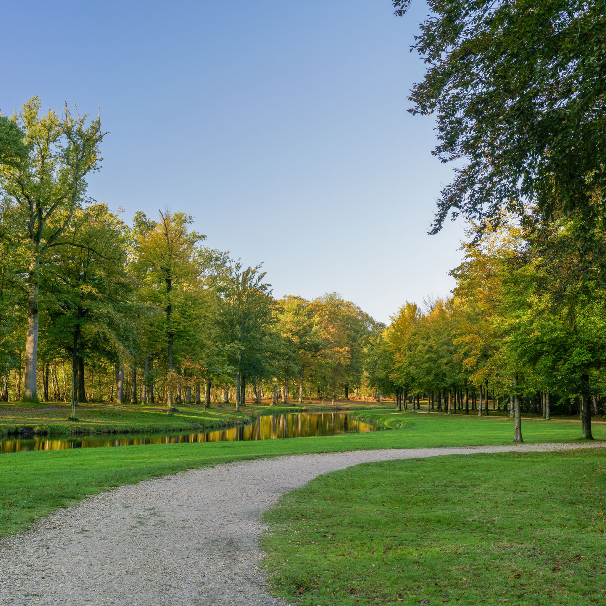
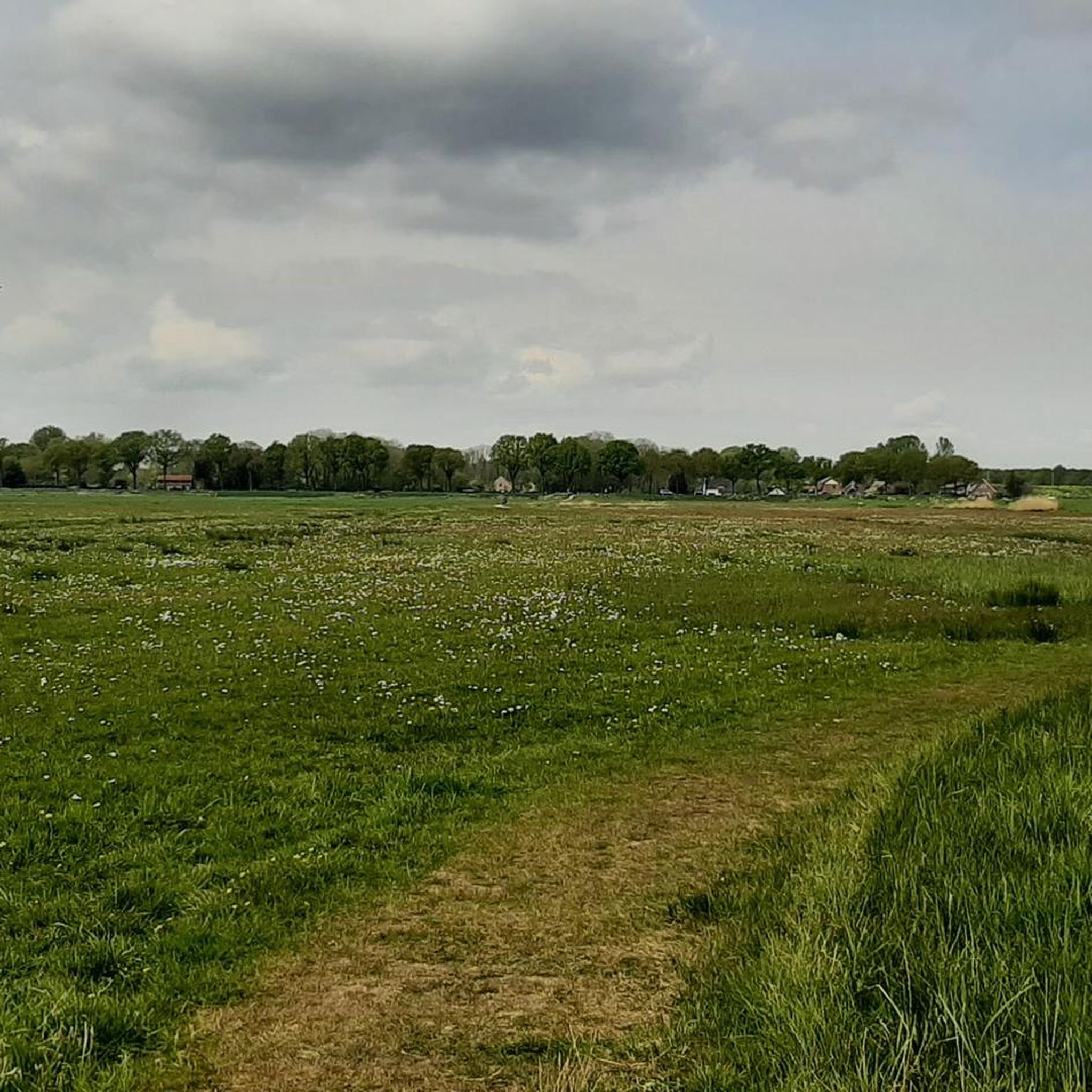
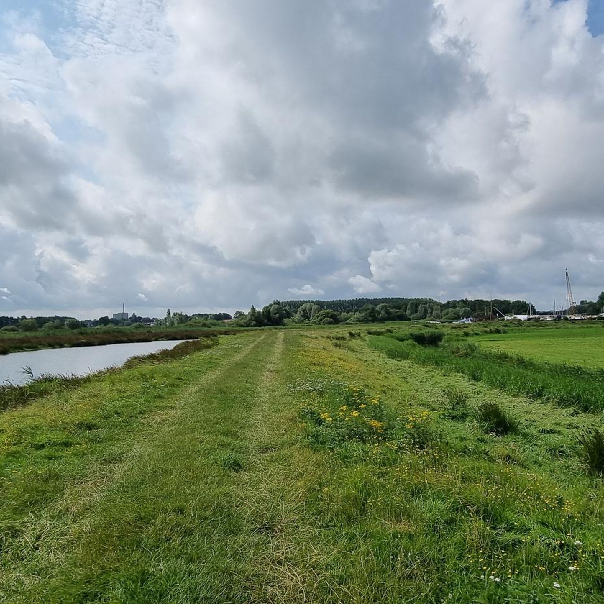

Tips from the Community

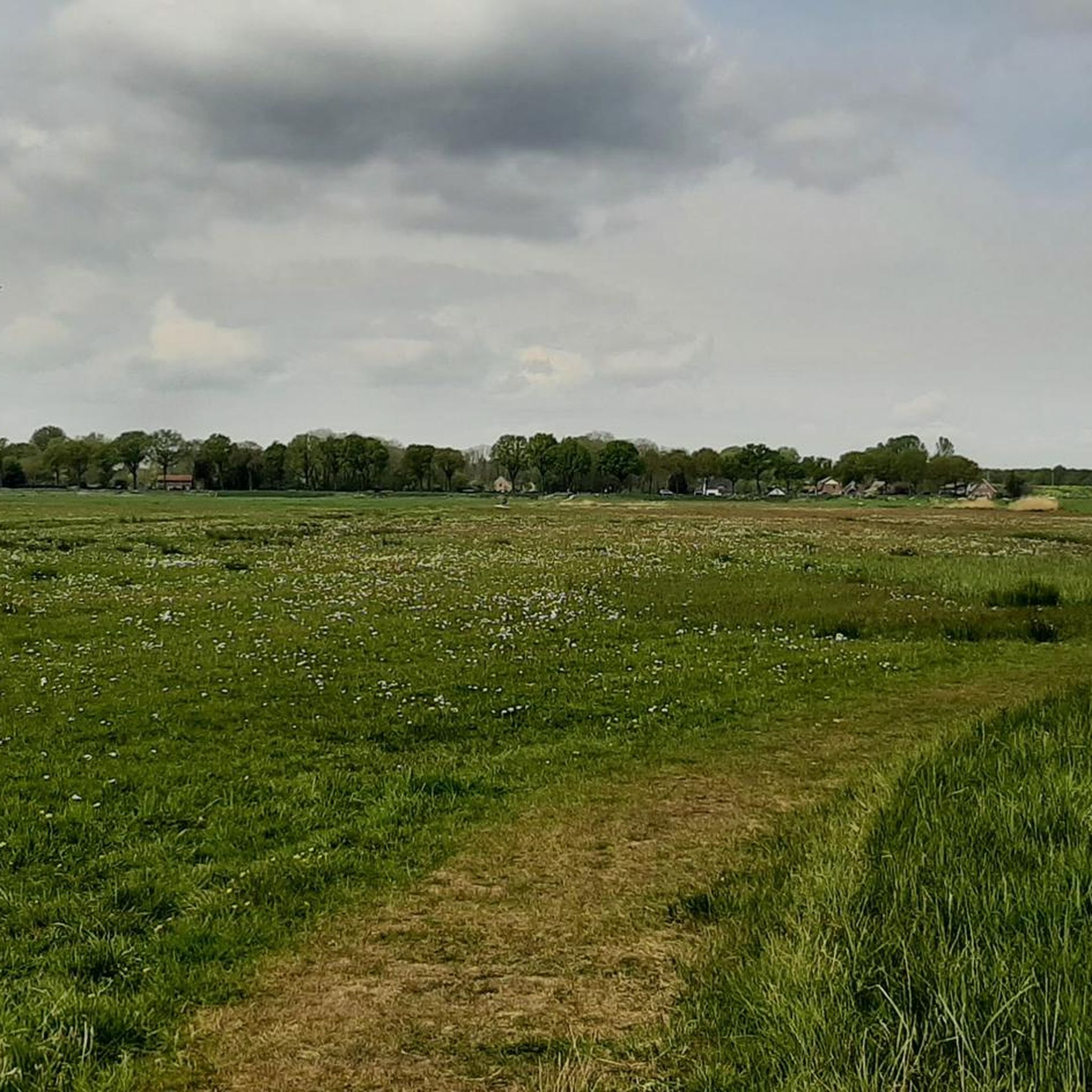
The view is beautiful, but only legal if you park your bike on the path and walk a bit. Then you'll see much more of the area than you would on a bike, since the view from the bike path is somewhat limited.
1
0

You are not allowed to cycle here, at least not anymore.
2
0

The moorland path passes Table Mountain here. Soft surface and possibly even up the mountain for a nice view over the heath
1
0

The hill has several ascents and descents with varying degrees of difficulty. You can make it from challenging to very challenging. At the moment (summer 2023) there is a lot of work on and around the hill, which means that not all paths are accessible to cyclists anymore.
0
2
From this place you have a beautiful view!
0
2

Parking De Stompert and starting point of MTB and hiking trails.
1
0
Information board area De Stompert and history.
1
0
De Stompert is a nature reserve and military training area of 65 hectares. It is located on the northern part of the Utrechtse Heuvelrug near the town of Soest in the province of Utrecht. The area is located southeast of Soestduinen, northeast of Soesterberg, next to the De Vlasakkers and opposite the De Paltz estate. The Stompert is named after the high peak in this area. This 'mountain' used to be called the Soesterberg or the Waelbergh. The highest point is 51 meters above NAP.[1] According to another source, the Stompert is 57 meters high. [2]
1
0
Frequently Asked Questions
What are the most popular elevated points or 'peaks' around Eemnes?
While Eemnes itself is very flat, the surrounding region offers several notable elevated areas. Among the most popular are Tafelberg (Tafelbergheide), known for its moorland paths and views over the heath, and De Stompert, which is the highest point of its eponymous nature reserve.
What is the highest point in the Gooi region near Eemnes?
The highest point in the Gooi region is the Tafelberg (Tafelbergheide), which reaches an elevation of 36.4 meters above NAP (Amsterdam Ordnance Datum). It offers expansive views over the heathland.
Are there family-friendly elevated areas to visit near Eemnes?
Yes, Tafelberg (Tafelbergheide) is considered family-friendly, offering moorland paths with a soft surface. It's a great spot for a walk with beautiful views, especially when the heather is in bloom.
What is the best time of year to visit the elevated areas around Eemnes?
The elevated areas, particularly the heathlands like Tafelberg (Tafelbergheide), are especially beautiful in August when the heather is in full bloom. This offers a vibrant purple landscape and enhances the scenic views.
What kind of natural features can I expect to see at these elevated points?
You can expect to see unique landscapes such as moorland paths and heathlands at locations like Tafelberg (Tafelbergheide). De Stompert is part of a nature reserve with forested areas. Both offer panoramic views of the surrounding flat Dutch landscape.
What outdoor activities can I do near these elevated points?
The region around Eemnes is excellent for various outdoor activities. You can enjoy cycling on routes like those found in the Cycling around Eemnes guide, or explore gravel biking trails from the Gravel biking around Eemnes guide. Hiking is also popular, especially around areas like De Stompert.
Are there hiking trails near De Stompert?
Yes, De Stompert is a nature reserve and military training area that features various ascents and descents, offering hiking trails with varying degrees of difficulty. There is also a dedicated parking lot and starting point for trails.
Is cycling allowed on all paths around the elevated points?
While cycling is a popular activity in the region, some specific paths, such as those leading to the Highest Point of Anna's Hoeve, may not permit cycling directly on the viewpoint path. It's often best to park your bike and walk the final stretch to fully appreciate the views.
What makes De Stompert unique among the elevated points?
De Stompert is unique as it's a nature reserve and military training area, reaching 51 to 57 meters above NAP. It was formed during the ice ages by glaciers and offers a more challenging terrain with varying ascents and descents for hikers compared to other local elevations.
Are there any viewpoints offering particularly scenic perspectives?
Yes, the Highest Point of Anna's Hoeve is noted for its beautiful views of the surrounding area. Similarly, both Tafelberg (Tafelbergheide) and De Stompert offer panoramic vistas that contrast with the predominantly flat polder lands of Eemnes.
Can I find parking facilities near these elevated areas?
Yes, for example, near De Stompert, there is a designated parking lot and starting point, which also provides information about the area and its history.
What is the general appeal of visiting these 'peaks' around Eemnes?
Visitors appreciate the unique contrast these elevated points offer against the otherwise flat Dutch landscape. They provide opportunities for walking, cycling, and enjoying panoramic views, especially the beautiful heathlands and natural reserves. The komoot community has shared many photos and upvoted these spots for their natural beauty and recreational value.
Most popular attractions around Eemnes

Get inspired with the komoot mobile app


Explore more
See even more amazing summits around Eemnes with these guides:
