Top 17 Lakes around Cromstrijen
Best lakes around Cromstrijen, part of the Hoeksche Waard municipality, offers a diverse landscape characterized by polders and an intricate network of creeks and dikes. While not known for large natural lakes, the region provides significant recreational water bodies and areas. This island is surrounded by major rivers, offering various opportunities for water-based activities and natural exploration. The area's unique geography makes it a destination for those seeking tranquil waterways and scenic routes.
Best lakes around Cromstrijen
- The most popular…
Last updated: August 19, 2026
Oeverlanden Hollands Diep Nature Reserve
Highlight • Natural
Translated by Google •
Tip by

Volkerak
Highlight • Lake
Translated by Google •
Tip by

Sign up now to discover places like this
Get recommendations on the best single tracks, peaks, & plenty of other exciting outdoor places.
Sign up for free
Haringvliet Wetlands and Highland Cattle
Highlight • Natural
Translated by Google •
Tip by

Oeverlanden Strijensas
Highlight • Natural
Translated by Google •
Tip by

Wildflower fields in the Oude Polder, Haringvliet
Highlight • Natural
Translated by Google •
Tip by

Sign up for free to discover even more lakes around Cromstrijen.
Sign up for free
Already have an account?
Start today with a free account
Your next adventure awaits.
Login or Signup
Other adventures around Cromstrijen

Tips from the Community

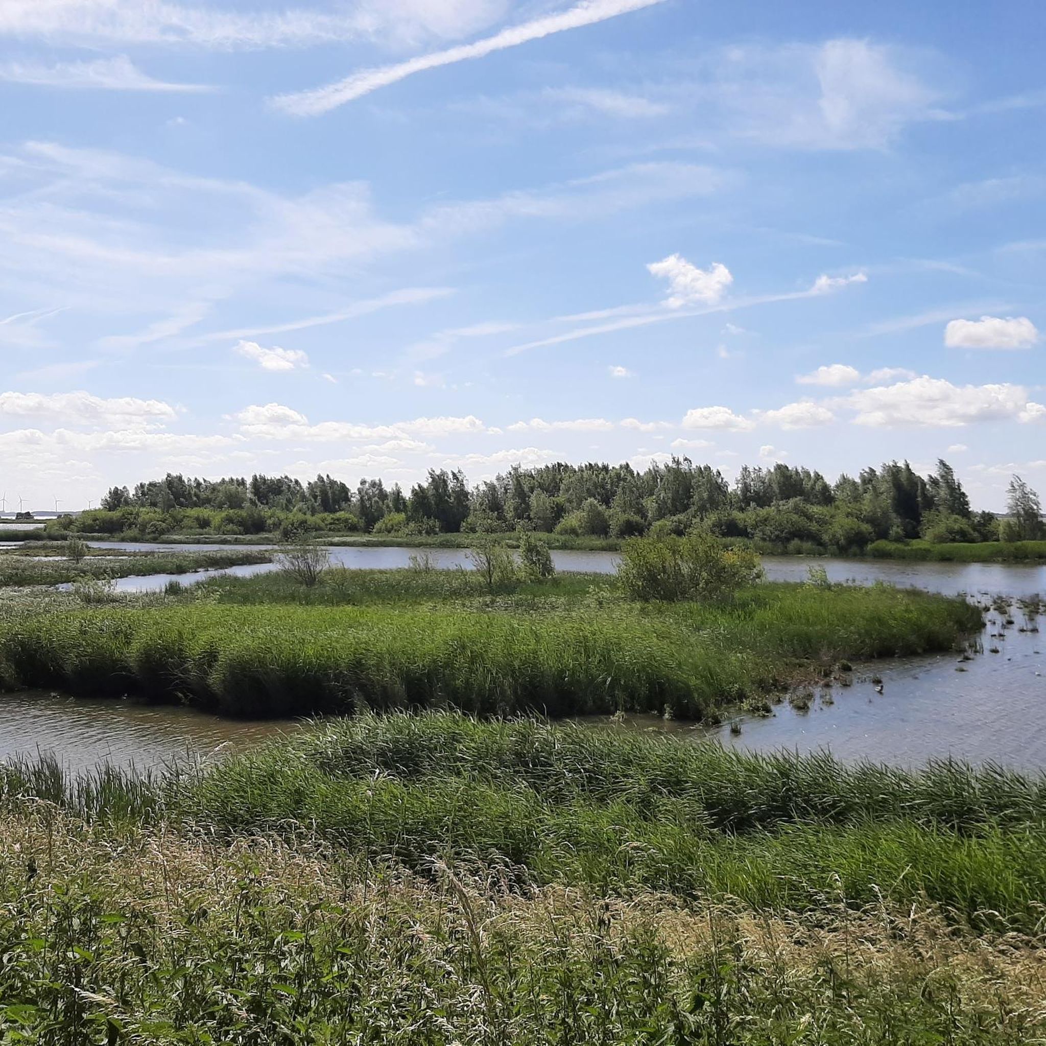
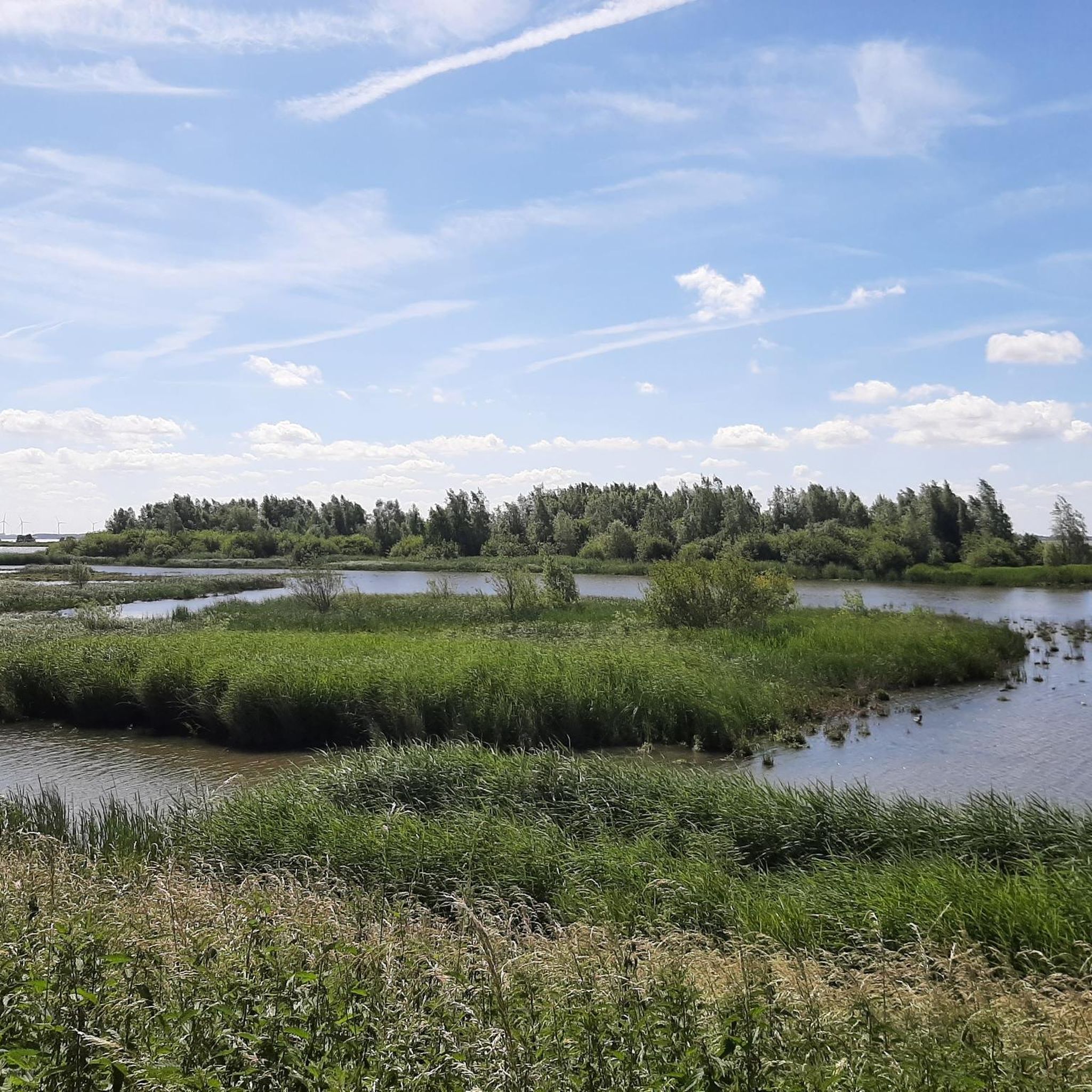
Anyone who is a fan of tidal areas will really do themselves a big favor by going for a walk here for a day. Beautiful nature and wonderfully quiet on weekdays. Watch out for the cattle that like to stand in the water when it is warm. Dragonflies, frogs, dozens of species of birds and beautiful flowers! Do bring your own food and drinks because there are no catering facilities or water points here.
2
0

The Volkerak locks, west of Willemstad, were built as part of the Delta Plan. A secondary dam had to be built in the Volkerak to close off the Oosterschelde and the Haringvliet. However, the closing off of the Volkerak, which was planned in 1969, would also block an important shipping route between Rotterdam/Germany and Antwerp/France. It was therefore decided to build a lock complex in the dam to be constructed. The first two inland navigation locks were built in 1964. In 1977, the complex was expanded to the northwest with an additional lock for inland shipping, an inlet lock and finally a separate recreational lock. Bridges had already been built over the newly constructed locks: a fixed bridge and a double movable bascule bridge over the southern lock for commercial shipping. To the south of the locks are various service houses and a workshop and storage area for the emergency power supply and the nuclear shelter below. On the south bank of the Volkerak, at the beginning of the lock, there is a lookout tower, with a storage area for the reserve gates underneath. In addition, a new lock keeper's office was built around 2012; the old lock keeper's house between the eastern and middle locks was demolished shortly afterwards. At some distance from the locks on the south bank, there is another office and a door storage / workshop. In 1988, the complex was mentioned in the Guinness Book of Records as the largest inland shipping object in the world. The commercial shipping locks are each 325 metres long and 24 metres wide. The locks are built of concrete and each has four pairs of steel doors; two pairs for ebb and two pairs for flood.
7
0

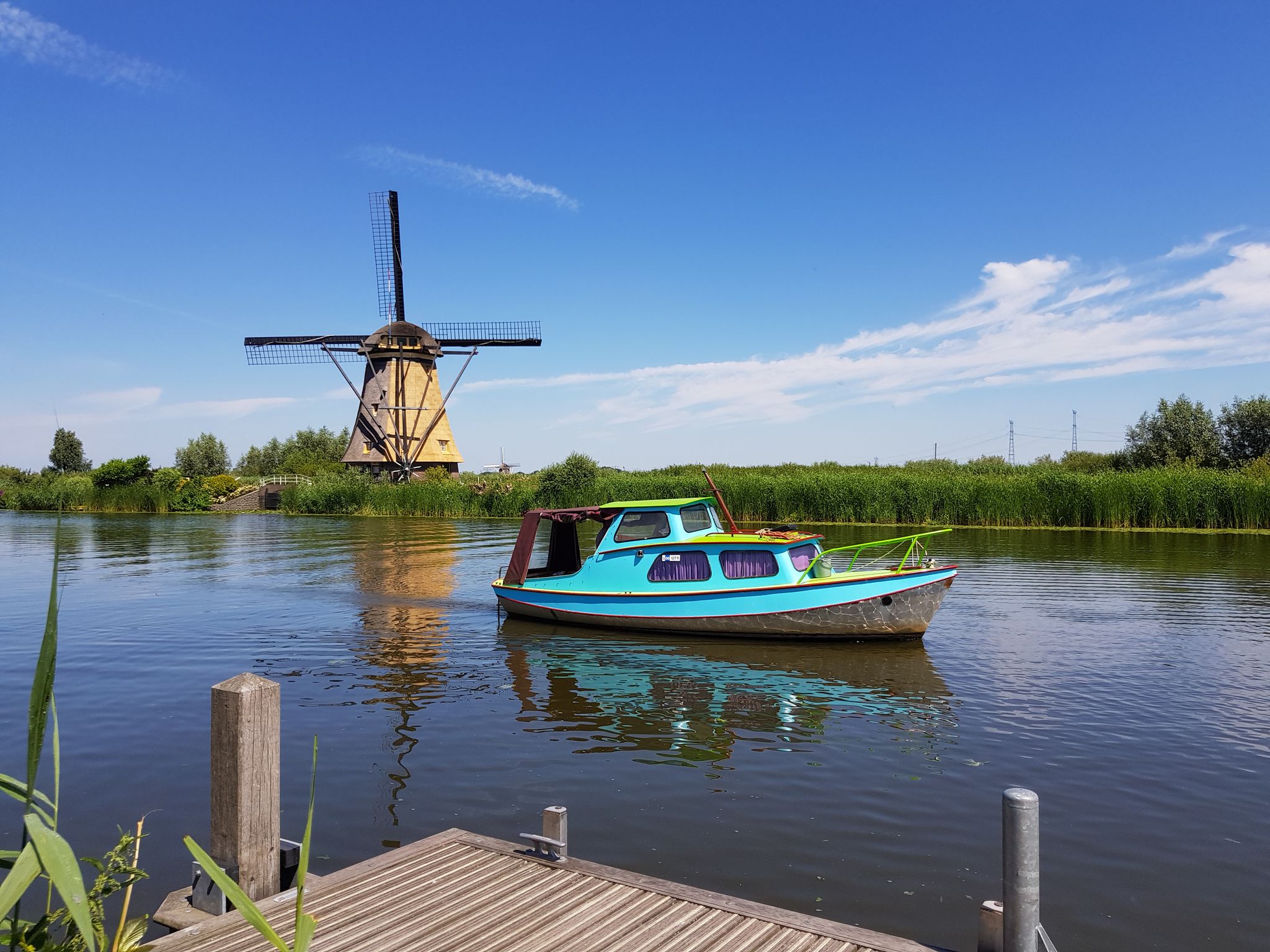
The Volkerak is a body of water located southeast of the South Holland island of Goeree-Overflakkee. On the east side of the Volkerak are the Volkerak locks to the Hollands Diep; The Krammer is located on the west side. In the south of the Volkerak, the Scheldt-Rhine Canal to Antwerp begins
4
0

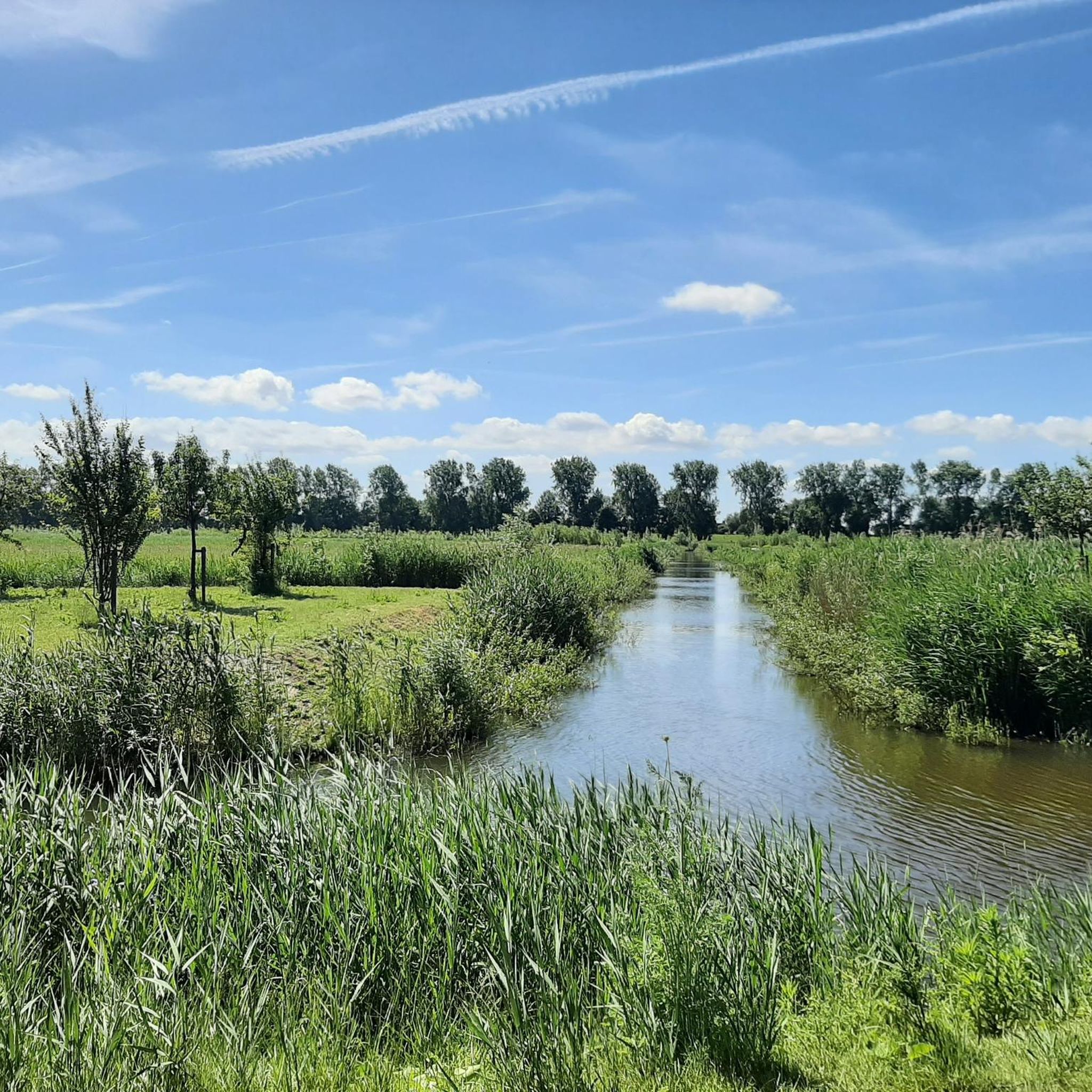
The creation of the riparian lands on the Hollands Diep is a fascinating interplay of nature and human effort. The Hollands Diep formed a natural division between areas, with its banks formed by the natural movement of water and sediment. However, with the arrival of humans, the landscape began to change. In the past, residents saw the potential of the fertile banks and started reclaiming pieces of land from the water with the help of dikes and ditches. This marked the beginning of an era of land reclamation and water management. As time and technology advanced, the experimental land reclamation efforts became more ambitious. Engineers designed complex systems of dikes and dams, creating more and more riparian lands. The once wild banks transformed into orderly, fertile lands, where nature and people together form a unique and harmonious landscape along the Hollands Diep. Each piece of land reclaimed became a new chapter in the timeless story of the interaction between land, water and people in the Netherlands.
7
0


Beautiful hiking trails on the island Just right for all nature lovers
1
0
Lots of paths and trails around the island
2
0
Frequently Asked Questions
What kind of water bodies can I expect to find around Cromstrijen?
Cromstrijen, part of the Hoeksche Waard, is characterized by a polder landscape with an intricate network of creeks and dikes rather than large natural lakes. You'll find expansive bodies of water like the Haringvliet and Spui, as well as smaller, tranquil polder creeks and recreational areas like the Binnenmaas. These offer diverse opportunities for water-based activities and natural exploration.
Are there good places for nature walks and wildlife viewing near the water?
Yes, the region offers several excellent spots for nature walks and wildlife. For instance, Oeverlanden Hollands Diep Nature Reserve is known for its beautiful nature, quiet surroundings, and diverse wildlife including cattle, dragonflies, frogs, and various bird species. Another great option is Haringvliet Wetlands and Highland Cattle, which offers a wonderful nature walk with beautiful views over the water and opportunities to see highland cattle.
What are the best areas for canoeing or paddleboarding?
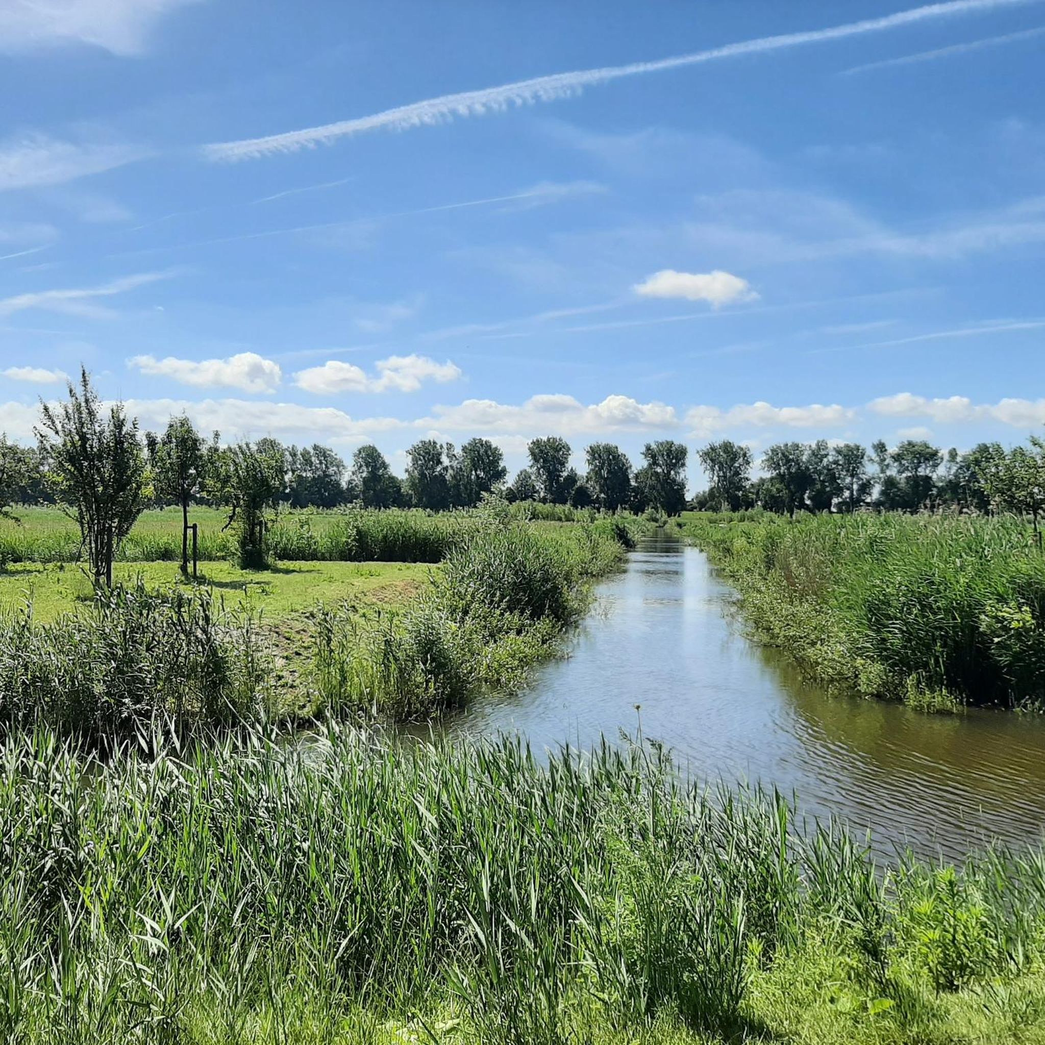
The numerous creeks (kreken) interlacing the Hoeksche Waard are excellent for exploring by canoe or stand-up paddleboard. These smaller waterways offer a tranquil experience of the island's natural beauty and provide access to picturesque villages. The 'jungle' of Strijensas is highlighted as a unique spot for canoeing, offering untouched nature with rough reed lands, open water, channels, and creeks.
Are there family-friendly water areas or activities?
Yes, several areas are suitable for families. The Haringvliet has recreational beaches near Numansdorp and the Haringvlietbrug, ideal for swimming, relaxing, and enjoying a day out, often with facilities like playgrounds and picnic benches. The Volkerak area is also considered family-friendly, and the Wildflower fields in the Oude Polder, Haringvliet offer a colorful and pleasant experience for all ages.
Can I go swimming in the lakes or rivers around Cromstrijen?
Yes, you can. The Haringvliet and Spui both have designated swimming bays and recreational beaches. Water quality at official swimming locations, such as those at Haringvlietbrug West, is regularly monitored during the swimming season (May 1 to October 1).
What kind of hiking trails are available near the water bodies?
You'll find a variety of hiking trails, many offering easy to moderate difficulty. For example, the Oeverlanden Strijensas features paths through willow forests and offers a unique experience with ebb and flow on fresh water. You can find more detailed hiking routes, including easy loops around the Hollands Diep, by visiting the Hiking around Cromstrijen guide.
Are there cycling routes that pass by the lakes and rivers?
Absolutely. The region is well-suited for cycling, with routes that take you along the major waterways and through the polder landscape. You can explore options like the 'Route Along the Binnenmaas' or routes near the Haringvliet Bridge. For a comprehensive list of routes, check out the Road Cycling Routes around Cromstrijen guide.
What is the best time of year to visit the water areas in Cromstrijen?
The period from May to October is generally ideal for visiting, especially if you plan to swim, as water quality is monitored during this time. Spring and summer offer pleasant weather for outdoor activities, while the unique natural features like wildflower fields are best seen in bloom during the warmer months.
What unique natural features can I observe in the region?
The Hoeksche Waard is known for its authentic polder landscape, characterized by an intricate network of creeks and dikes. You can observe the rare phenomenon of ebb and flow on fresh water in areas like Oeverlanden Strijensas. Additionally, the Wildflower fields in the Oude Polder, Haringvliet showcase vibrant arable lands with poppy, cornflower, and yellow goose flowers, actively restored to reflect the agricultural image of the past.
Are there any viewpoints to get a good overview of the water landscape?
Yes, several spots offer scenic views. The Haringvliet Wetlands and Highland Cattle provide beautiful views over the expansive water. The Volkerak also features a lookout tower on its south bank, offering panoramic views of the locks and surrounding water.
What do visitors enjoy most about the water areas around Cromstrijen?
Visitors frequently appreciate the beautiful, quiet nature and the diverse wildlife. Many enjoy the unique interplay of nature and human effort in creating the riparian lands, as well as the opportunities for tranquil walks and exploring the authentic polder landscape by canoe. The scenic views over the water and the chance to see specific wildlife like highland cattle are also highly valued.
Most popular attractions around Cromstrijen

Get inspired with the komoot mobile app


Explore more
Still not found your perfect lake around Cromstrijen? Check out the guides of these regions to see even more beautiful places.
