The 6 Most Amazing Peaks around Comarca de Guadix
Best mountain peaks around Comarca de Guadix are found in a region characterized by dramatic landscapes, encompassing both traditional high mountain peaks and unique elevated geological formations. Situated in the province of Granada, Spain, this area is bordered by ranges like the Sierra Nevada, offering diverse elevated natural features. The Comarca de Guadix also features unique badlands, providing exceptional views and experiences. This geological diversity makes it a notable destination for outdoor exploration.
Best mountain peaks around Comarca de Guadix
- The most popular mountain peaks is La Ragua Pass, a mountain pass that is one of the few asphalt passes over 2,000m in the region. It is a first-class port known for cycling and offers opportunities for bird watching and nature walks.
- Another must-see spot is Chullo Peak, a summit that is the highest peak in Almería. From its elevation of 2,612 meters, it provides views of Sierra Nevada and Almería, including Mulhacén peak.
- Visitors also love Puntal Blanco Summit, a summit located on the border between Granada and Jaén. With its elevation of more than 870m, it offers panoramic views of the surrounding desert mountains.
- Comarca de Guadix is known for high mountain summits, challenging passes, and unique geological formations like badlands. The region offers a variety of elevated natural features to see and explore.
- The mountain peaks around Comarca de Guadix are appreciated by the komoot community, with 37 upvotes and 31 photos shared across 6 highlights.
Last updated: September 2, 2026
La Ragua Pass
Highlight • Mountain Pass
Translated by Google •
Tip by

Chullo Peak
Highlight • Summit
Translated by Google •
Tip by

Sign up now to discover places like this
Get recommendations on the best single tracks, peaks, & plenty of other exciting outdoor places.
Sign up for free
Picón de Jérez 3,088 m
Highlight • Summit
Translated by Google •
Tip by

Puntal Blanco Summit
Highlight • Summit
Translated by Google •
Tip by

Puntal de Juntillas 3,143 m
Highlight • Summit
Translated by Google •
Tip by
Morrón Sanjuanero (2,610 m)
Highlight • Summit
Translated by Google •
Tip by

Morrón del Mediodía (2,726 m)
Highlight • Summit
Translated by Google •
Tip by
Start today with a free account
Your next adventure awaits.
Login or Signup
Popular around Comarca de Guadix
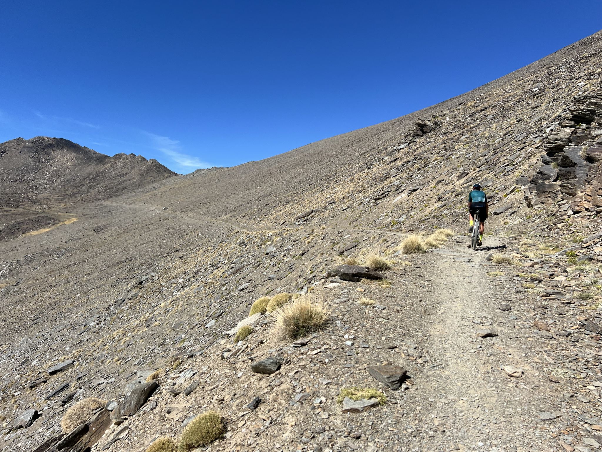
Badlands 2024 – extreme experiences and a sense of joy
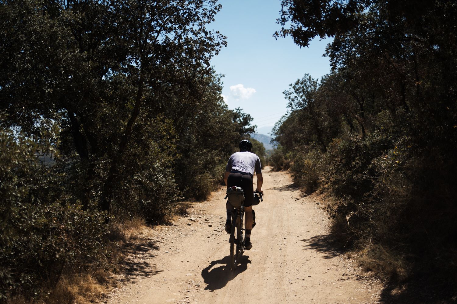
Mozarabic Way to Santiago – Gravel between two worlds

Bikepacking the mountains and deserts of Andalucía

La Vuelta 26 — All Official Stages
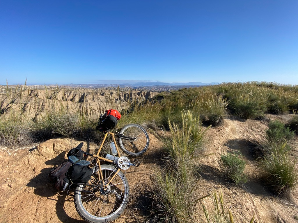
Mountain, Desert and Sea — Andalusian Trilogy
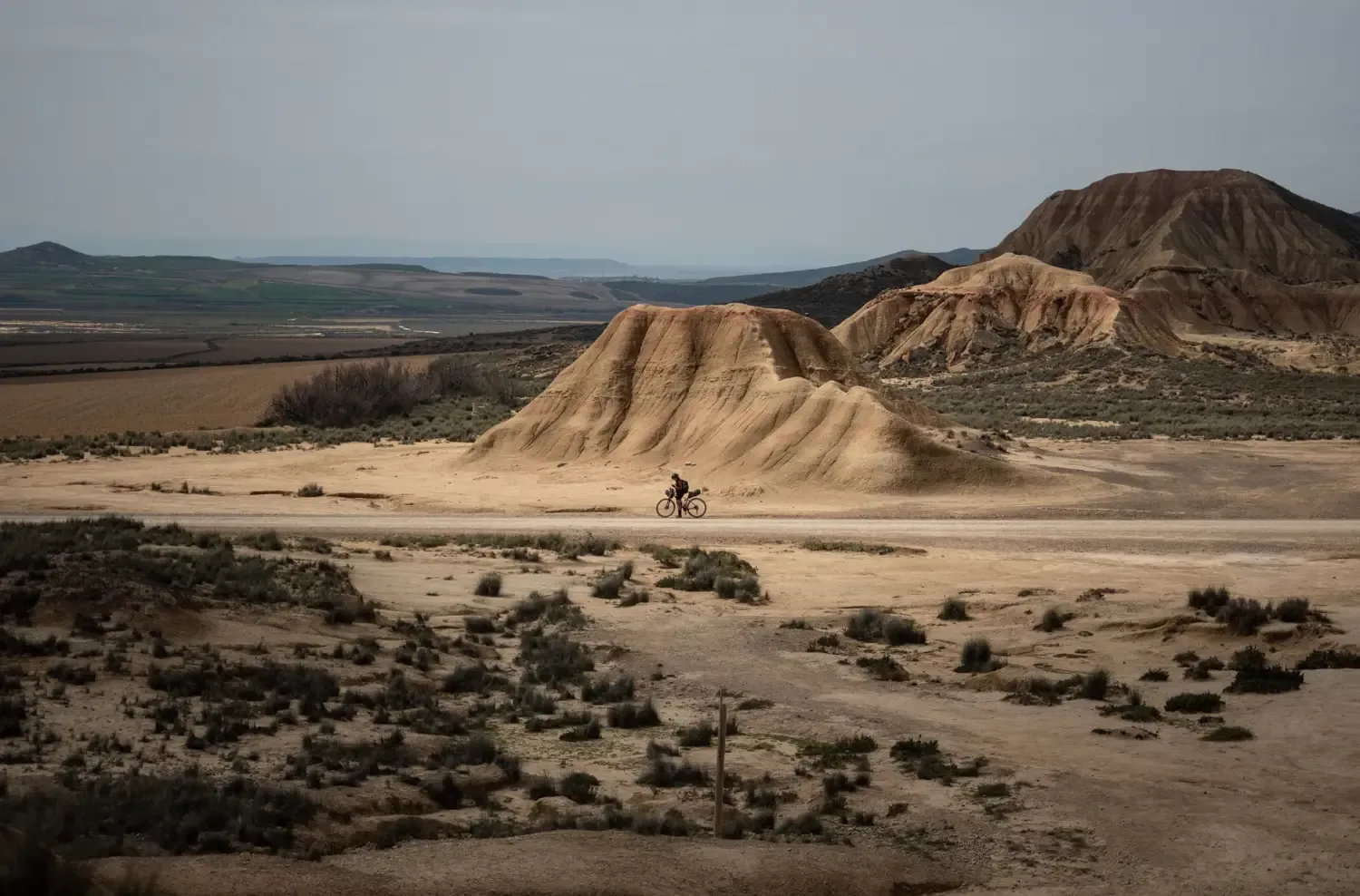
9 mountain biking routes in undiscovered Spain
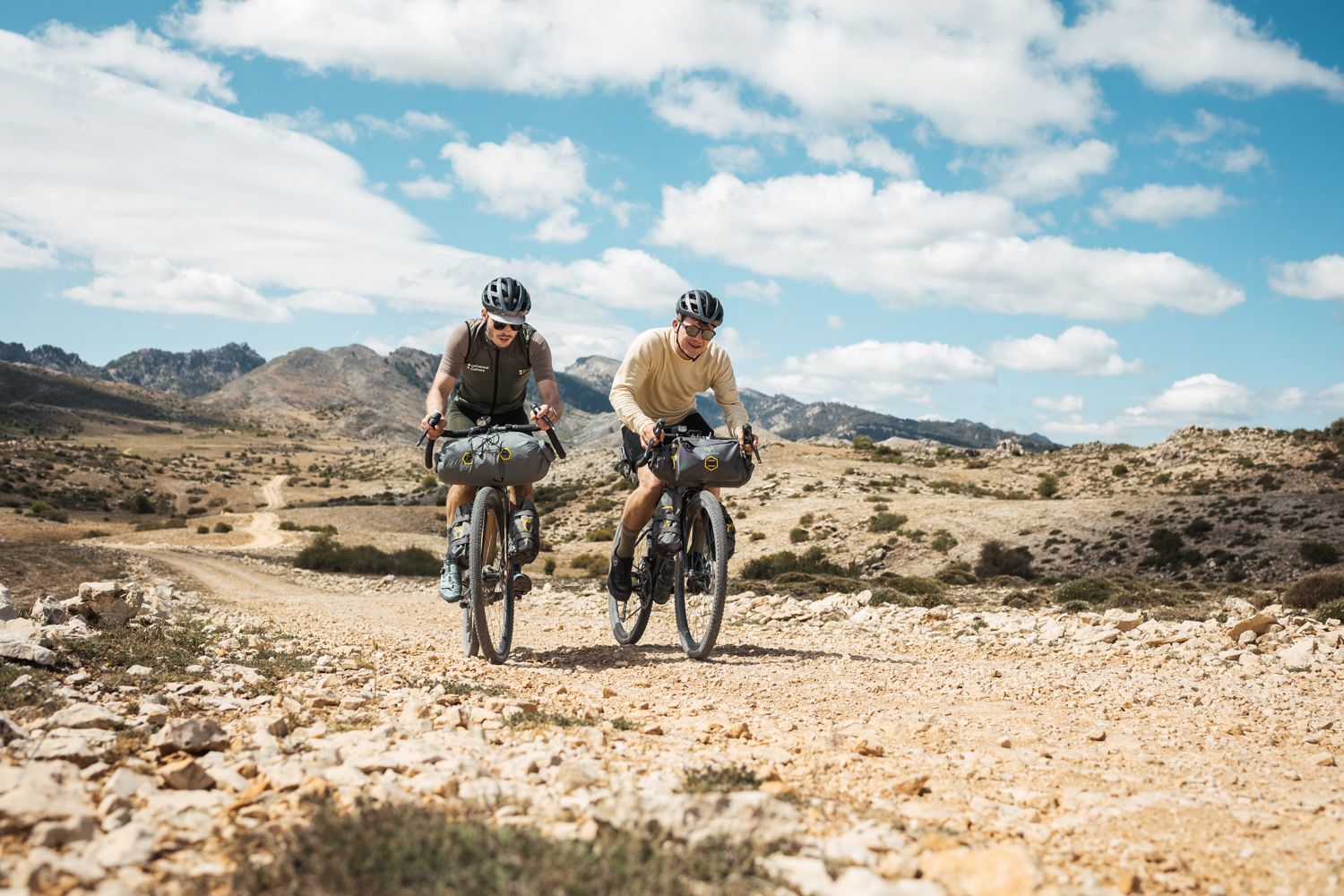
Bikepacking in Andalusia – Europe's gravel paradise
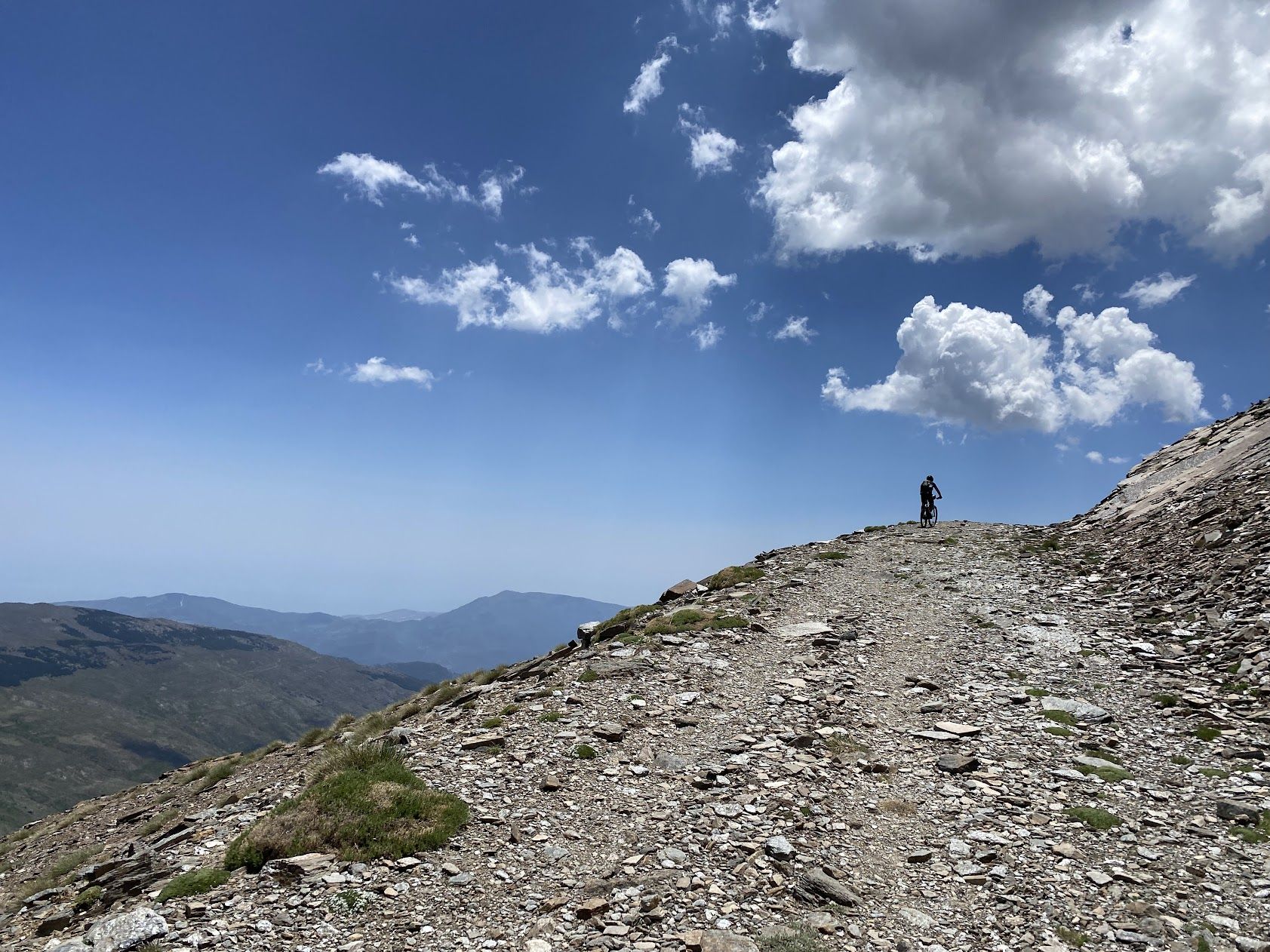
A legendary journey – Tour of the Sierra Nevada
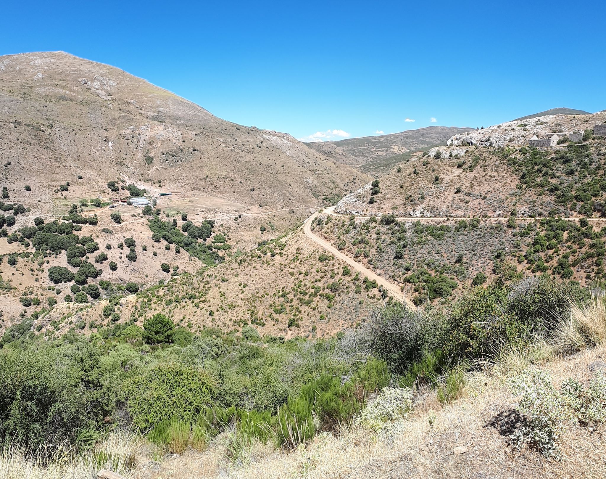
Nature and singletrack – bikepacking in Spain’s Sierra de Huétor

Let’s head south – cycle in Andalusia with me and my dog
Other adventures around Comarca de Guadix


Tips from the Community

The Puerto de la Ragua marks the border between the provinces of Granada and Almería. The Sierra Nevada stretches on both sides, with the 3000m peaks on the Granada side. The highest mountain in the province of Almería, El Chullo, is, however, easily accessible from the Puerto de la Ragua. The Puerto de la Ragua is just over 2000m.
0
0

The route continues along the summit of Puntal de Juntillas, which consists of a pile of stones with views of the eastern slope of the central sector of Sierra Nevada. To advance towards the next three thousand meters, you have to change course slightly and continue towards the southeast downhill. The descent is gentle, giving you the sensation of changing summits.
0
0
The summit landmark takes a while to appear on the great hill of the mountain, but finally the striking pinnacle of stones, the geodesic vertex and the small corral of the bivouac emerge. This is all there is at the summit, but around it the panorama is spectacular. The deserts of Gorafe, Hoya de Baza and even the sierras of Baza and Filabres seem to be part of another reality. And towards the interior of the sierra, the Alcazaba, Mulhacén and Veleta appear, dominating the rest of the three thousand meters of the Sierra Nevada. The views are good but they get even better further on. The route continues towards the southwest along the typical rocky carpet of mica schists and slates of the Nevada mountains to a small hill where you would have to escape in case of a blizzard or any complication towards the east, towards the Puerto de Trévelez.
0
0

A reference point from which to enjoy the views, in an idyllic landscape.
1
0

One of the few asphalt passes over 2,000m in the region. You just have to take it with you, even if it's not particularly "exciting" IMHO.
2
0

The Morrón del Mediodía is the roof of the trail, at the top there are piled up slate slabs and an extraordinary panoramic view. The wind runs wild on all sides and on the northern slope the landscape plunges more than 2,500 meters to the bandas de Gorafe and Guadix, it is an impressive contrast. At the summit the path changes the layout, from the top the terrain is not so clear. The path continues down the western slope, but some intuition and experience is necessary to discover the mountain footprints on the slate floor. In any case, orientation is not difficult with good visibility, you have to continue along the mountain range. In the event of a blizzard or cloudy environment, it would be difficult to maintain the correct course due to the lack of references.
0
0
The trail goes through the Hornillo pass and goes up the demanding slope of Morrón Sanjuanero, the slope is steep and it is easy to finish the ascent on foot. The path is clear on the steep side of the mountain. On the way there are concrete markers with a double direction arrow. At the top there is a small pile of stones and good views. In the background appear the summits of the Alcazaba and the Mulhacén, the great colossi of the Sierra Nevada and the roofs of the Spanish mountain ranges, the snowfields last until late spring. The trail goes down between some curious slate ridges along the Fuente Fría Range to a col and continues skirting the range towards the next peak of the sierra.
1
0

Mega beautiful view of the Sierra Nevada and a great short tour from the parking lot. Here in the video you can marvel at the whole tour in short: https://youtu.be/DxUrMbFJmow
1
0
Frequently Asked Questions
What are some of the most prominent high mountain peaks in the Comarca de Guadix region?
The Comarca de Guadix is bordered by the Sierra Nevada, offering several impressive peaks. Notable high-altitude summits include Picón de Jérez (3,088 m), one of the easternmost 'three-thousanders' of the Sierra Nevada, and Puntal de Juntillas (3,143 m). While not strictly within the administrative boundaries, Pico Veleta (3,398 m) is an iconic peak of the Sierra Nevada visible from the region, offering spectacular views.
Beyond traditional peaks, what unique geological formations can I explore in Comarca de Guadix?
The region is renowned for its unique 'badlands' landscapes. The Gorafe Desert, part of the Granada Geopark, features vast expanses of dramatically eroded clay and sandy soils, forming canyons and 'fairy chimneys' with vibrant hues. Similarly, the Cárcavas de Marchal offer spectacular eroded clay massifs with intricate ravines and gullies.
Where can I find the best panoramic views of the Sierra Nevada and the badlands in Comarca de Guadix?
For breathtaking panoramic views, consider the Chullo Peak, which at 2,612 meters, provides expansive vistas of the Sierra Nevada, including Mulhacén. The Mirador del Fin del Mundo near Beas de Guadix is an excellent elevated viewpoint offering a unique 360-degree perspective of the badlands and the distant Sierra Nevada.
What kind of outdoor activities are available near these mountain peaks and geological formations?
The Comarca de Guadix offers a diverse range of outdoor activities. You can enjoy challenging hikes to high peaks like Picón de Jérez, explore the badlands on foot, or engage in cycling. The La Ragua Pass is popular for road cycling and bird watching. In winter, it becomes a popular spot for cross-country skiing.
Are there family-friendly options for exploring the elevated areas around Comarca de Guadix?
Yes, while some peaks are challenging, the badlands areas like the Gorafe Desert and Cárcavas de Marchal offer more accessible exploration. Many viewpoints, such as the Mirador del Fin del Mundo, are easily accessible and provide stunning scenery without strenuous hiking. There are also moderate hiking routes available, such as the Gorafe Desert Route.
What is the best time of year to visit the mountain peaks and badlands in Comarca de Guadix?
The best time to visit depends on your activity. For high-altitude hiking in the Sierra Nevada peaks, late spring to early autumn (May to October) is ideal, avoiding snow and ice. For exploring the badlands, spring and autumn offer pleasant temperatures, as summer can be very hot. Winter provides opportunities for cross-country skiing at places like La Ragua Pass.
Are there any historical or cultural sites associated with the elevated landscapes of Comarca de Guadix?
Yes, the badlands are rich in history. The Gorafe Desert is home to one of Europe's largest concentrations of dolmens in the Gorafe Megalithic Park. Additionally, in areas like the Cárcavas de Marchal, local populations historically carved and still inhabit unique cave houses within the eroded clay formations, adding a significant cultural dimension to the natural beauty.
What are some popular mountain passes for cycling or scenic drives in the region?
The La Ragua Pass is a well-known mountain pass, one of the few asphalt passes over 2,000m in the region. It's a first-class port popular with cyclists and offers scenic drives, bird watching, and nature walks.
Can I find routes suitable for mountain biking or gravel biking near the peaks and badlands?
Absolutely. The Comarca de Guadix offers excellent opportunities for both mountain biking and gravel biking. You can find routes like 'The Gorafe desert by gravel bike' or 'Gorafe Desert Trail' which explore the unique badlands terrain. For more options, check out the Gravel biking around Comarca de Guadix guide and the MTB Trails around Comarca de Guadix guide.
What makes the 'badlands' of Comarca de Guadix so unique?
The badlands, such as those in Gorafe and Cárcavas de Marchal, are unique due to their dramatic geological formations. Millions of years of erosion on soft clay and silt deposits have created intricate canyons, ravines, and 'fairy chimneys.' The rock formations display vibrant hues of red, orange, ochre, and yellow, creating an otherworldly, 'Grand Canyon-like' experience that changes with the light throughout the day.
What do komoot users particularly enjoy about the peaks and elevated areas around Comarca de Guadix?
Komoot users appreciate the diverse landscapes and spectacular views. Highlights like Chullo Peak are praised for their 'mega beautiful view of the Sierra Nevada.' The challenging climbs to summits like Picón de Jérez are noted for their 'spectacular panorama' and less crowded experience. The region's unique geological formations and opportunities for bird watching and nature walks are also highly valued.
Are there any less crowded high-altitude experiences compared to more famous Sierra Nevada peaks?
Yes, Picón de Jérez, one of the easternmost 'three-thousanders' of the Sierra Nevada, offers a challenging but rewarding climb with breathtaking views. Its routes, such as those from Refugio Postero Alto, provide a less crowded experience compared to other more frequented Sierra Nevada peaks, allowing for a more serene mountaineering adventure.
Most popular routes around Comarca de Guadix
Most popular attractions around Comarca de Guadix

Get inspired with the komoot mobile app


Didn’t find what you were looking for?
Discover Comarca de Guadix’s best peaks and summits by region:
Explore more
See even more amazing summits around Comarca de Guadix with these guides:
