Top 5 Gorges in Lake County
Best canyons in Lake County, Oregon, are characterized by a rugged and remote high desert landscape. This region features basalt canyons, sagebrush plains, and unique geological formations. It is valued for its ecological diversity and offers opportunities for solitude and primitive recreation. The area is also known for rockhounding sites within the Hart Mountain Antelope Refuge.
Best canyons in Lake County
- The most popular canyons is Crack-in-the-Ground Loop Trail, a gorge that challenges with scrambling over large boulders. This…
Last updated: June 26, 2026
Squaw Ridge Wilderness Study Area
Highlight • Natural
Tip by

Abert Rim Wilderness Study Area
Highlight • Natural Monument
Tip by
Sign up now to discover places like this
Get recommendations on the best single tracks, peaks, & plenty of other exciting outdoor places.
Sign up for free
Crack in the Ground
Highlight • Gorge
Tip by
Guano Creek and rock formations
Highlight • River
Tip by
Crack-in-the-Ground Loop Trail
Highlight • Gorge
Tip by
Start today with a free account
Your next adventure awaits.
Login or Signup
Popular around Lake County


Tips from the Community

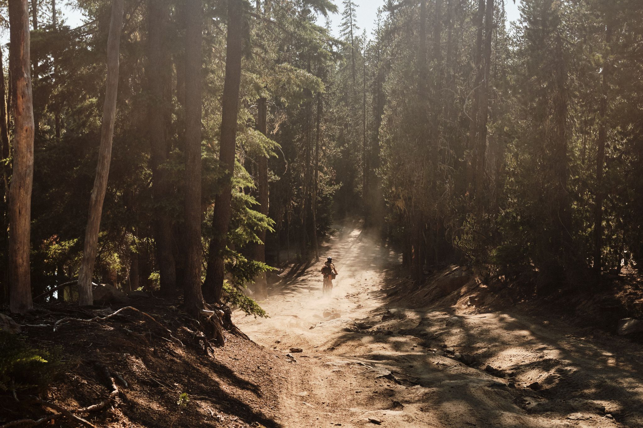
Guano Creek is a reliable water source with crystal clear water. If you hike along the Oregon Desert Trail, the creek will be on your side for some miles. In this location you hike on a backcountry road with fascinating rock formations on both sides.
3
0
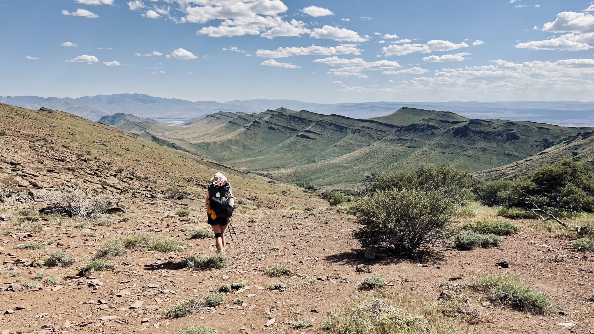
A faint backcountry road skirts along the Abert Rim Wilderness Study Area and is used by hikers along the Oregon Desert Trail. This route leads towards the edge of Abert Rim, providing you with breathtaking views down into the valley. With more than 30 miles, Abert Rim is the longest exposed fault scarp in North America and was formed during the Miocene epoch. Keep your eyes peeled for pronghorns and bighorn sheep which roam the area.
3
0
This additional loop trail challenges you with some scrambling over large boulders and is not as traveled as the main route.
3
0
The Squaw Ridge Wilderness Study Area in Oregon encompasses a rugged and remote landscape characterized by high desert terrain, basalt canyons, and sagebrush plains. Managed by the Bureau of Land Management, this area is valued for its ecological diversity and opportunities for solitude and primitive recreation. As a wilderness study area, it remains protected from development. It might be hard to find a suitable spot to camp since the area is covered with sharp lava rock, sagebrush and cow paddies.
2
0
Crack in the Ground is a stunning geological feature within Four Craters Lava Bed Wilderness Study Area. The volcanic fissure is two miles long and up to 70 feet deep. You can take a hike into this gorge. Keep an eye on the weather, though, and avoid it during rain since it might get flooded in a rain storm. It is just a short detour if you take the Christmas Valley alternate of the Oregon Desert Trail.
5
0
Frequently Asked Questions
What kind of canyons can I expect to find in Lake County, Oregon?
Lake County, Oregon, is characterized by a rugged and remote high desert landscape. You'll find basalt canyons, volcanic fissures, and deep gorges. These areas are known for their ecological diversity and offer opportunities for solitude and primitive recreation. Notable examples include Crack in the Ground, a volcanic fissure up to 70 feet deep, and the basalt canyons within the Squaw Ridge Wilderness Study Area.
Are there any challenging canyon hikes in Lake County?
Yes, several canyons offer challenging experiences. The Crack-in-the-Ground Loop Trail, for instance, involves scrambling over large boulders. The Abert Rim Wilderness Study Area also features challenging terrain with breathtaking views from the edge of the longest exposed fault scarp in North America.
What unique geological features can I see in Lake County's canyons?
Lake County is home to several unique geological formations. You can explore Crack in the Ground, a stunning two-mile-long volcanic fissure. The Abert Rim Wilderness Study Area features Abert Rim, the longest exposed fault scarp in North America, offering dramatic views. Additionally, areas like Guano Creek showcase fascinating rock formations.
Can I go rockhounding in Lake County's canyons?
Yes, Lake County, Oregon, is known for rockhounding opportunities. DeGarmo Canyon and Arsenic Canyon, located within the Hart Mountain Antelope Refuge, are mentioned as popular collection sites for rocks and minerals. Surface rock collection is permitted, with a limit of seven pounds per person per day.
What wildlife might I encounter in the canyons of Lake County?
The remote and ecologically diverse canyon areas are home to various wildlife. In the Abert Rim Wilderness Study Area, keep an eye out for pronghorns and bighorn sheep. The general high desert environment supports a range of species adapted to this unique landscape.
Are there any easy canyon trails for beginners or those seeking a less strenuous hike?
While many areas offer rugged terrain, the Bullard Canyon Trail near Lakeview is graded as 'Easy' and can typically be completed in about 1 hour and 20 minutes, making it a good option for a straightforward hike.
What should I know about camping near the canyons in Lake County?
The Squaw Ridge Wilderness Study Area, for example, is described as having sharp lava rock, sagebrush, and cow paddies, which might make finding a suitable spot to camp challenging. It's advisable to be prepared for primitive conditions and research specific camping regulations for each area.
What is the best time to visit the canyons in Lake County, Oregon?
Given the high desert environment, spring and fall generally offer the most pleasant temperatures for exploring the canyons. During summer, temperatures can be very high, and during winter, some areas might be inaccessible or present challenges like potential flooding in gorges like Crack in the Ground during rainstorms.
Are there any reliable water sources when hiking through the canyons?
Guano Creek is noted as a reliable water source with crystal clear water, especially if you are hiking along the Oregon Desert Trail. However, in a high desert environment, it's always crucial to carry sufficient water and not rely solely on natural sources.
What are the main characteristics of the <a href="https://www.komoot.com/highlight/6644672" target="_blank" rel="noopener">Squaw Ridge Wilderness Study Area</a>?
The Squaw Ridge Wilderness Study Area encompasses a rugged and remote landscape featuring basalt canyons and sagebrush plains. It's valued for its ecological diversity and offers opportunities for solitude and primitive recreation, remaining protected from development.
What is the <a href="https://www.komoot.com/highlight/7210519" target="_blank" rel="noopener">Abert Rim Wilderness Study Area</a> known for?
The Abert Rim Wilderness Study Area is famous for Abert Rim, which is the longest exposed fault scarp in North America, stretching over 30 miles. It offers breathtaking views down into the valley and is a great spot to look for wildlife like pronghorns and bighorn sheep.
Can I hike into <a href="https://www.komoot.com/highlight/6300354" target="_blank" rel="noopener">Crack in the Ground</a>?
Yes, you can hike into Crack in the Ground, a volcanic fissure that is two miles long and up to 70 feet deep. It's a stunning geological feature within the Four Craters Lava Bed Wilderness Study Area. However, it's important to keep an eye on the weather and avoid it during rain, as it might get flooded.
Most popular attractions in Lake County

Get inspired with the komoot mobile app


Explore more
Already discovered everything in this region? See additional gorges in Lake County for your next adventure:
