The 5 Most Amazing Peaks around Silver Plume
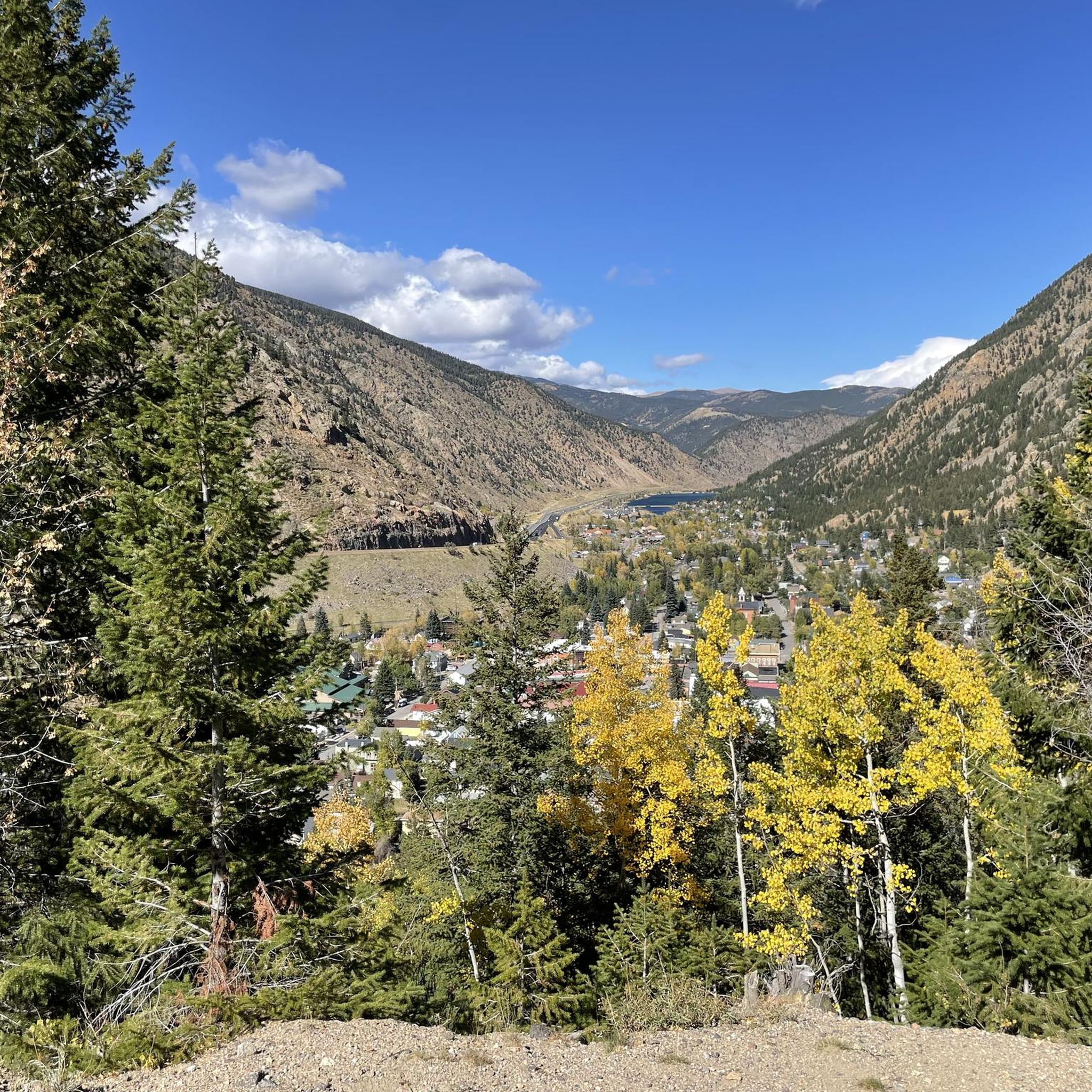
Best mountain peaks around Silver Plume are situated within the Rocky Mountains and Arapaho and Roosevelt National Forest. This region offers access to various mountain peaks, providing a range of hiking experiences. The area is characterized by high-elevation alpine terrain and trails that often feature historic mining ruins. Silver Plume serves as a base for exploring these natural landscapes and their historical context.
Best mountain peaks around Silver Plume
- The most popular mountain peaks is Grays Peak, a summit…
Last updated: June 28, 2026
Grays Peak
Highlight • Summit
Tip by

Torreys Peak
Highlight • Summit
Tip by
Sign up now to discover places like this
Get recommendations on the best single tracks, peaks, & plenty of other exciting outdoor places.
Sign up for free
Mount Edwards
Highlight • Summit
Tip by

Mount Evans Climb
Highlight (Segment) • Climb
Tip by

Kelso Ridge
Highlight (Segment) • Climb
Tip by
Start today with a free account
Your next adventure awaits.
Login or Signup
Tips from the Community

The paved route to the summit of Mount Evans marks the highest rideable point in the region. The climb tests endurance, primarily through its length and the impact of altitude. The road itself has steady inclines and broad curves. As you climb you will pass through alpine lakes, forested terrain, and ultimately, the vast Rocky Mountain panorama above the treeline.
0
0

Mount Edwards is a 13,856-foot tall peak in Arapaho National Forest. This class 2 summit does not see nearly as many people reaching its peak as the 14er Grays Peak, which shares a long ridge with Mount Edwards. Route finding is straight forward once you are on the ridge, and the views are just as great as the higher summits.
0
0
Mount Edwards is a 13,856-foot tall peak in Arapaho National Forest. This class 2 summit does not see nearly as many people reaching its peak as the 14er Grays Peak, which shares a long ridge with Mount Edwards. Route finding is straight forward once you are on the ridge, and the views are just as great as the higher summits.
0
0
Kelso Ridge is a more technical approach for climbing Torreys Peak. The ridge is heavily class 3 and is not the best route for novices. There is a lot of use of hands, mild exposure, and route finding. This can be a problematic line in the downhill direction.
0
1

Torreys Peak is just around the corner from Grays Peak – so you can summit two of the 58 peaks that exceed 14,000 feet in one hike. The view from the summit is exceptionally beautiful. Keep an eye on the weather, though. Thunderstorms are likely to occur in the afternoon during the summer months.
4
0
Grays Peak is one of Colorado's famous 14ers and one of the easier ones to summit. If you hike along the iconic Continental Divide Trail (stretching from Mexico to Canada), this mountain is directly on your route. As with all mountains in this area: Keep an eye on the weather. Thunderstorms in the afternoon are very likely during the summer months, so start your hike early. And since you are already here: With Torreys Peak, there is another 14er just around the corner.
4
0
Frequently Asked Questions
What are the most popular mountain peaks to hike near Silver Plume?
Among the most popular and challenging climbs are the "14ers" Grays Peak and Torreys Peak, which offer high-elevation alpine terrain and panoramic views of the Continental Divide. Hikers often summit both in a single strenuous outing. Mount Edwards is another notable peak, sharing a ridge with Grays Peak and offering comparable views with fewer visitors.
Are there any mountain peaks near Silver Plume with historical significance?
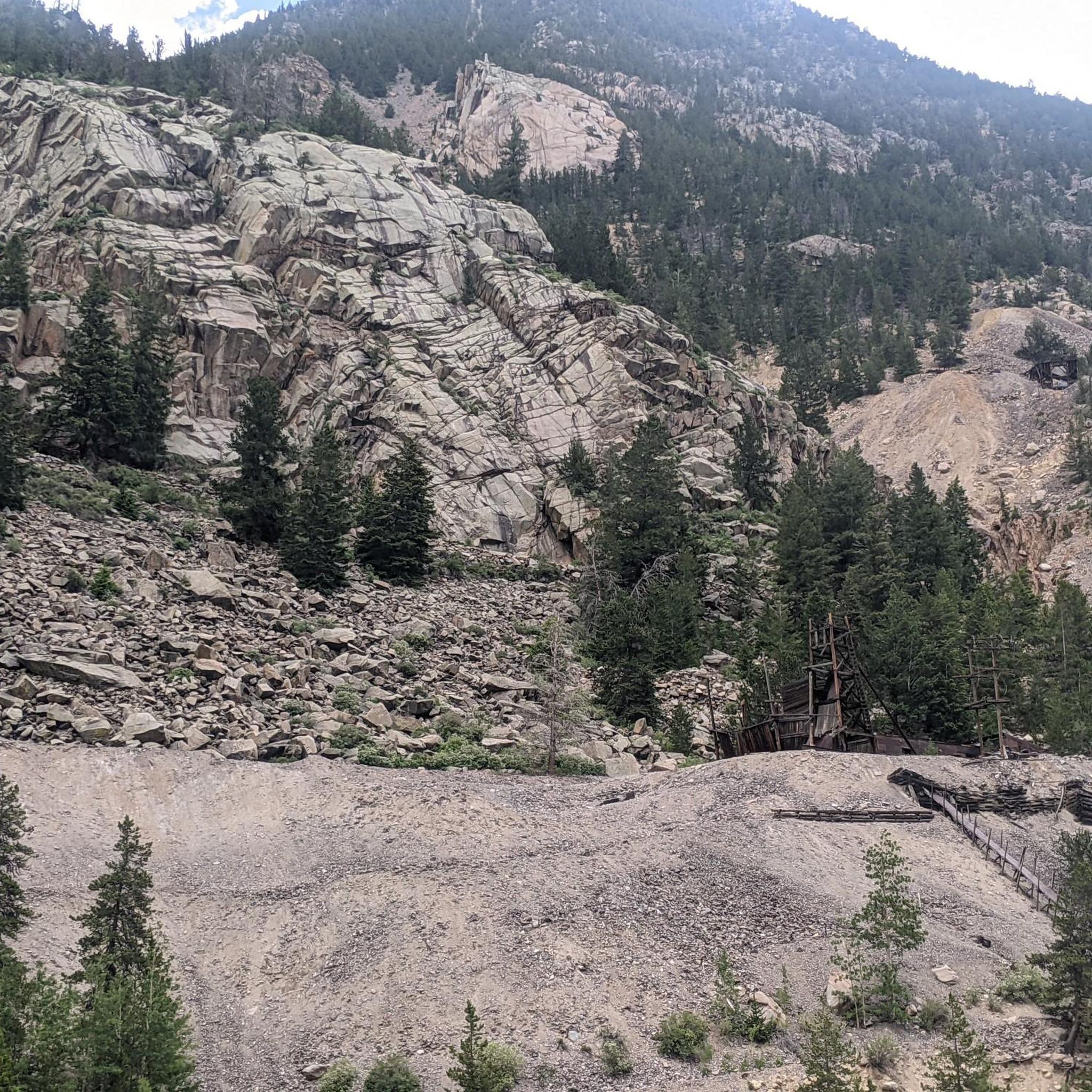
Yes, Silver Plume Mountain offers a challenging hike directly connected to the town's mining history. The 8-mile hike starting from Silver Street follows the historic 7:30 Mine Trail, passing numerous old mine shafts, structures, and mining ruins, including the Griffin Monument.
What is the best time of year to hike the mountain peaks around Silver Plume?
The summer months are generally best for hiking the high-elevation peaks. However, it's crucial to start your hike early in the day, as thunderstorms are very likely to occur in the afternoon during this season. Always keep an eye on the weather forecast.
Are there any less strenuous or family-friendly hiking options near Silver Plume?
For a less strenuous walk, the Clear Creek Greenway Segment connects Silver Plume to Georgetown. This easy, 1.5-mile asphalt path offers views of the historic Georgetown Loop Railroad. For a moderate hike with scenic views, the Silver Dollar Lake Trail is known for hiking and wildlife viewing near high-alpine lakes.
What kind of terrain can I expect on the mountain trails near Silver Plume?
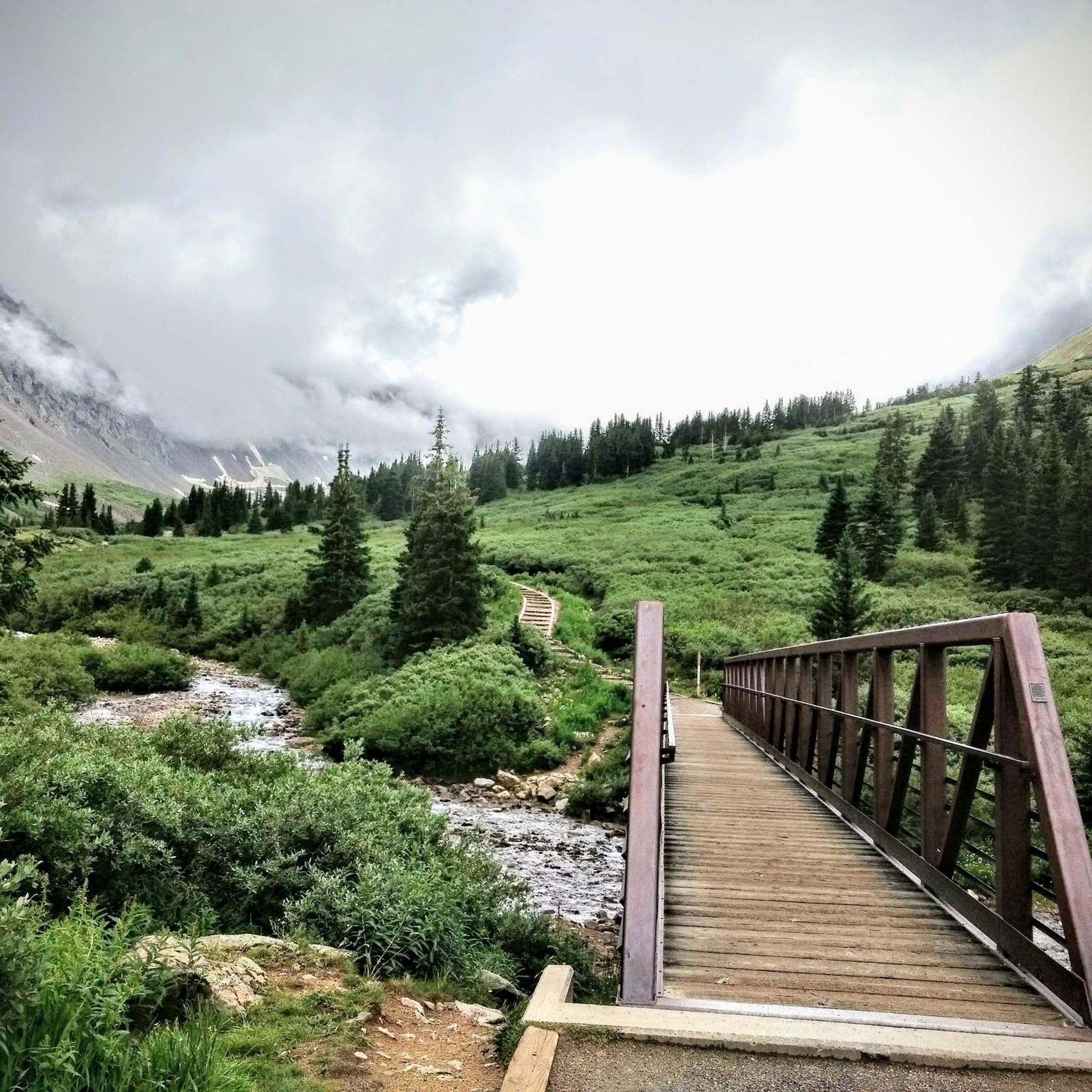
The trails around Silver Plume are characterized by steep mountain ascents and high-elevation alpine terrain. Many paths also pass historic mining ruins, offering a blend of natural beauty and historical exploration. Some routes, like the Grays Peak Trail, are considered difficult due to significant elevation gain.
Can I hike more than one 14er in a single trip near Silver Plume?
Yes, Grays Peak and Torreys Peak are located close to each other, making it possible for experienced hikers to summit both 14,000-foot peaks in a single strenuous outing. This offers a rewarding experience with incredible vistas.
Are there any technical climbing routes for experienced mountaineers?
Yes, Kelso Ridge offers a more technical approach for climbing Torreys Peak. This route is heavily Class 3, involving significant use of hands, mild exposure, and route finding, and is not recommended for novices.
What other outdoor activities can I do near the mountain peaks around Silver Plume?
Beyond peak bagging, the area offers various outdoor activities. You can find numerous hiking trails, including the challenging Grays Peak and Torreys Peak Trail. There are also excellent opportunities for cycling and road cycling, with routes like Guanella Pass Summit from Georgetown.
What are some of the natural features and viewpoints to look out for?
The region is part of the Rocky Mountains and Arapaho and Roosevelt National Forest, offering high-elevation alpine terrain and panoramic views, especially from the summits of peaks like Grays and Torreys. You'll also encounter alpine lakes, forested areas, and the vast Rocky Mountain panorama above the treeline, particularly along the Mount Evans Climb.
What should I know about the Mount Evans Climb?
The Mount Evans Climb features a paved route to the summit, marking the highest rideable point in the region. It's a test of endurance due to its length and the impact of altitude, with steady inclines and broad curves. The climb takes you through alpine lakes and forested terrain, culminating in expansive Rocky Mountain views above the treeline.
Are there any trails that offer wildlife viewing opportunities?
Yes, the Silver Dollar Lake Trail is particularly known for hiking and wildlife viewing near its high-alpine lakes. It's a great option for those hoping to spot local fauna in their natural habitat.
Most popular routes around Silver Plume
Most popular attractions around Silver Plume

Get inspired with the komoot mobile app


Explore more
See even more amazing summits around Silver Plume with these guides:
