The best walks and hikes around Kutzleben
4.6
(284)
905
hikers
206
hikes
Hiking around Kutzleben offers a network of trails through a predominantly rural landscape. The region is characterized by gentle, rolling terrain with minimal elevation changes, making it suitable for accessible walks. Hikers can expect to encounter open fields, agricultural areas, and small wooded sections, often featuring historical markers or natural points of interest. The trails primarily consist of easy, well-defined paths, providing opportunities for relaxed exploration of the local environment.
Best hiking trails around Kutzleben
- The most popular hiking route…
Last updated: July 1, 2026
4.2
(6)
14
hikers
6.33km
01:39
40m
40m
Easy hike. Great for any fitness level. Easily-accessible paths. Suitable for all skill levels.
3.0
(2)
6
hikers
Easy hike. Great for any fitness level. Easily-accessible paths. Suitable for all skill levels.

Sign up for free
3.0
(2)
5
hikers
Easy hike. Great for any fitness level. Easily-accessible paths. Suitable for all skill levels.
4.8
(4)
5
hikers
5.11km
01:22
60m
60m
Easy hike. Great for any fitness level. Easily-accessible paths. Suitable for all skill levels.
5.0
(1)
5
hikers
4.82km
01:15
30m
30m
Easy hike. Great for any fitness level. Easily-accessible paths. Suitable for all skill levels.
Get access to more routes and recommendations from other explorers.
Sign up for free
Already have an account?
Our route recommendations are based on thousands of hikes, rides, and runs completed by other people on komoot.
Start today with a free account
Your next adventure awaits.
Login or Signup
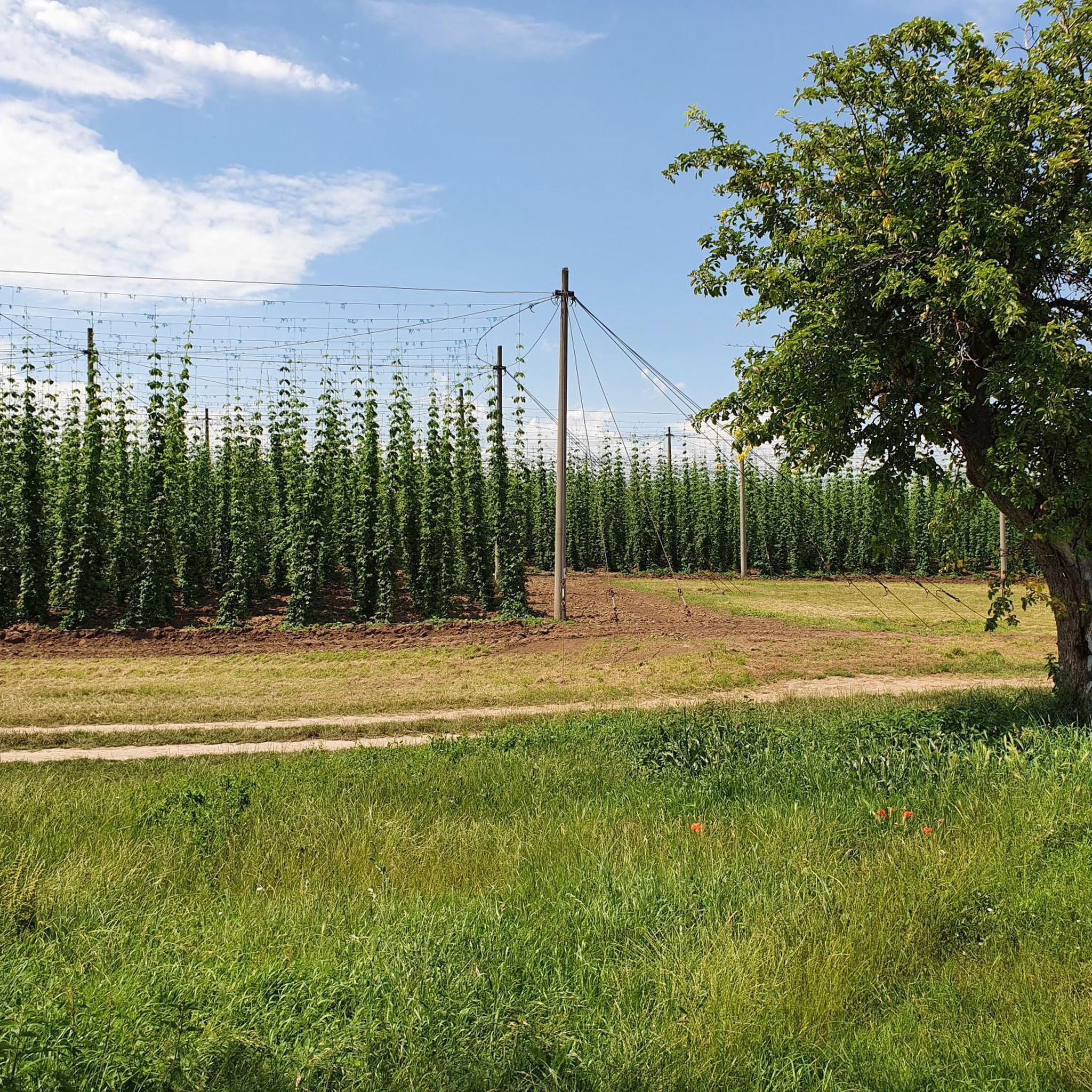
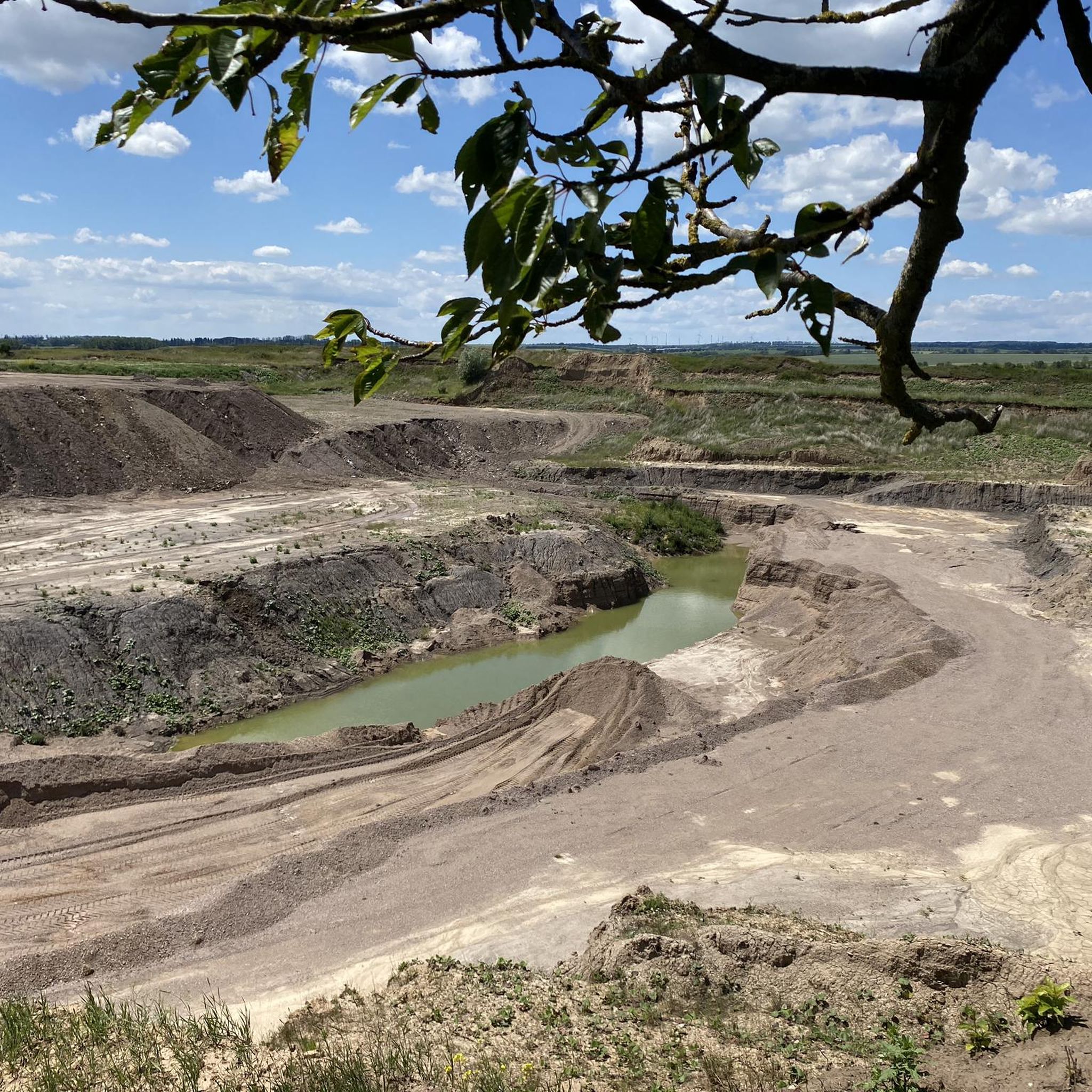
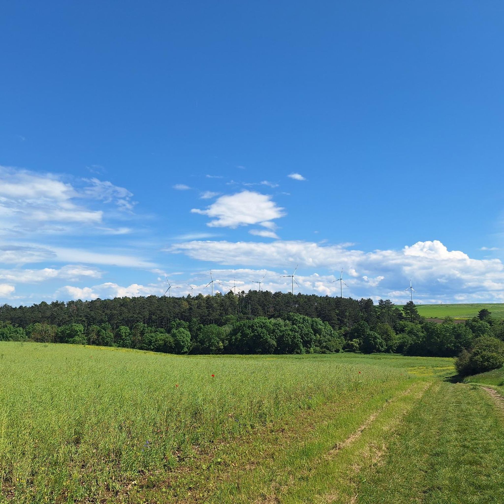
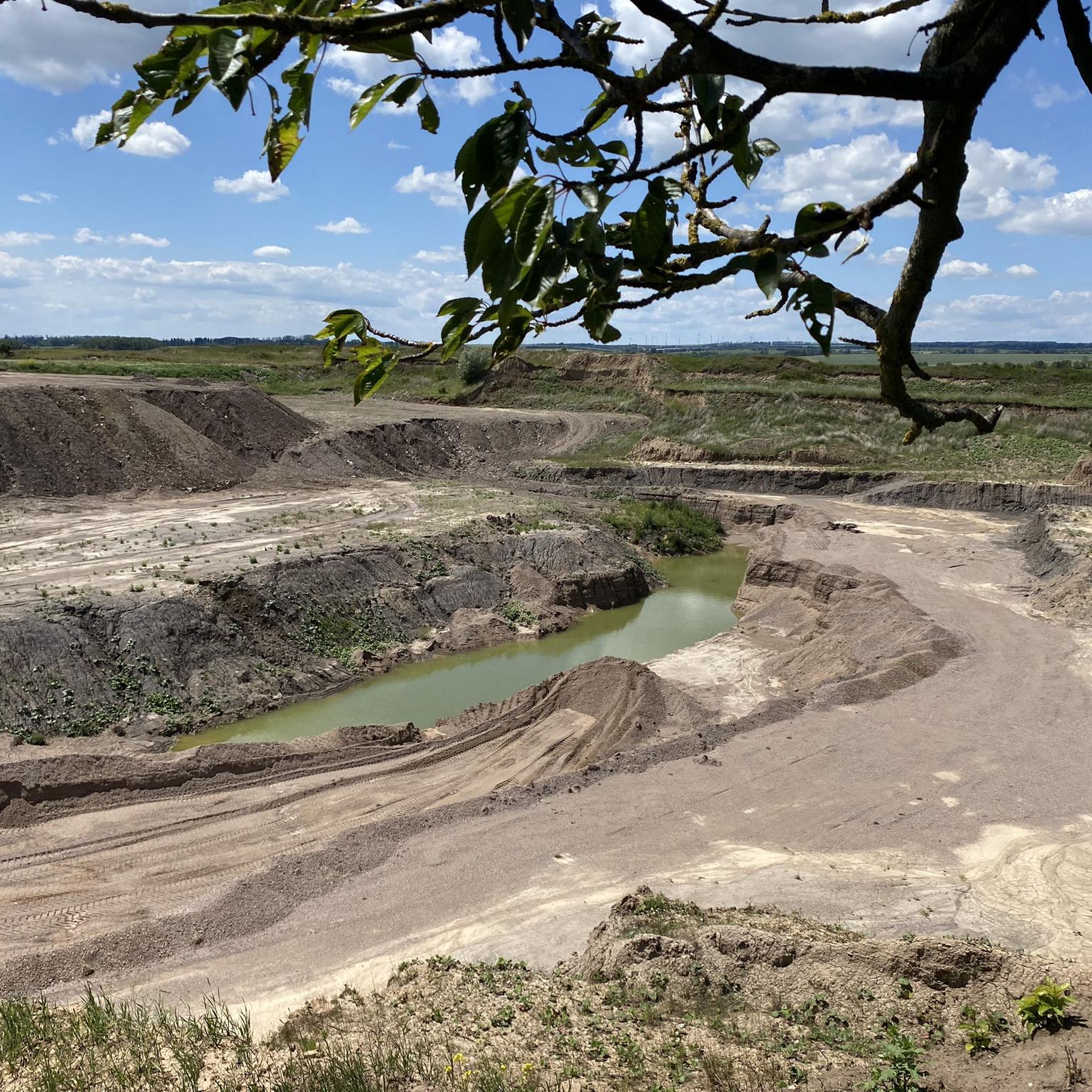
Tips from the Community

In clear weather you can see the surrounding mountain ranges Possen, Fahner Höhe and Ettersberg near Weimar.
1
0
From up here you have a wonderful view of the Possen near Sondershausen, even in clear weather.
0
0
There is also a bench where you can rest and enjoy.
1
0
Beautiful landscape and natural paths
0
0
I have not yet found much information about routes, such as the route from Bad Tennstedt to Grüningen. Only one or two articles on the Internet. https://leader-rag-kyff.de/getmedia.php/_media/leader/202004/32953v0-orig.pdf
0
0
From a distance you can see the beautiful church of St. Gangolf in Gangloffsömmern. https://de.wikipedia.org/wiki/St._Gangolf_%28Gangloffs%C3%B6mmern%29
1
0
Runs well on dry and frosty ground.
1
0
A new stone bench discovered or previously permanently ignored!
1
0
Frequently Asked Questions
How many hiking trails are available in Kutzleben?
Kutzleben offers a wide selection of hiking routes, with nearly 200 trails available. The majority of these, around 126, are classified as easy, making the region accessible for various skill levels.
Are there easy hiking trails suitable for beginners in Kutzleben?
Yes, Kutzleben is ideal for beginners and those seeking relaxed walks. The region features a predominantly gentle, rolling terrain with minimal elevation changes. Over 120 trails are rated as easy, providing well-defined paths through open fields and small wooded sections. An example is the Rittergut Lützensömmern – Asparagus Farm loop from Kutzleben, an easy 3.9-mile route.
Can I find circular hiking routes around Kutzleben?
Many of the hiking trails in Kutzleben are designed as circular routes, allowing you to start and end at the same point. For instance, the Wild Cherry Trees – Stone Railway Bridge loop from Gangloffsömmern is an easy 4.5-mile path that brings you back to your starting location.
What kind of landscape can I expect on hikes in Kutzleben?
Hiking around Kutzleben primarily takes you through a rural landscape characterized by gentle, rolling terrain. You'll encounter expansive open fields, agricultural areas, and scattered small wooded sections. Many trails also feature historical markers or natural points of interest, offering a blend of natural beauty and local history.
Are the hiking trails in Kutzleben suitable for families with children?
Yes, the trails in Kutzleben are generally very suitable for families. The region's gentle terrain and numerous easy routes mean that most paths are manageable for children. The well-defined trails through fields and woodlands offer a pleasant environment for family outings. Consider the Grollplatz loop from Rohnstedt for a shorter, family-friendly option.
Are dogs allowed on the hiking trails in Kutzleben?
Generally, dogs are welcome on the hiking trails in Kutzleben. As the routes often pass through agricultural areas and near nature reserves, it's advisable to keep dogs on a leash to protect wildlife and respect local farming practices. Always carry water for your dog, especially on warmer days, as water sources might be limited.
What are some interesting natural sights or landmarks to see while hiking?
While hiking around Kutzleben, you can discover several natural and historical points of interest. You might encounter the Dam at the retention basin between Vehra and Henschleben or the serene Herbslebener Teiche Nature Reserve. The War Memorial Gangloffsömmern – Wild Cherry Trees loop from Kieswerk Lützensömmern also passes by a local war memorial and natural cherry trees.
When is the best time of year to go hiking in Kutzleben?
The best time to hike in Kutzleben is typically from spring to autumn (April to October). During these months, the weather is generally pleasant, and the landscape is vibrant. Spring offers blooming fields, while autumn provides beautiful foliage. Summer is also suitable, but remember to bring water and sun protection, as many trails are exposed to the sun.
What do other hikers say about the trails in Kutzleben?
The hiking trails in Kutzleben are highly regarded by the komoot community, holding an impressive average rating of 4.7 stars from over 200 reviews. Hikers frequently praise the region for its peaceful rural atmosphere, well-maintained paths, and the ease of navigation, making it a popular choice for a relaxing outdoor experience.
Are there any trails that pass by water features like lakes or rivers?
Yes, some trails in the broader Kutzleben area offer views of water features. You can explore areas near the Hängsberg Lake (Greußen) or the Straußfurt Retention Basin. The Confluence of the Gera and Unstrut Rivers is another notable water-related highlight in the vicinity.
Where can I find parking for hiking trails in Kutzleben?
While specific parking areas are not always explicitly marked on every trail description, in rural areas like Kutzleben, you can often find parking near village centers, local community halls, or designated trailheads. It's advisable to check the starting point of your chosen route on komoot for any indicated parking options or to look for suitable roadside parking in nearby villages.
Are there any viewpoints along the trails in Kutzleben?
While Kutzleben's terrain is generally gentle, some routes offer pleasant vistas over the surrounding agricultural landscape. For example, the Bonifatius Cross – View of the Wooden Cross loop from Clingen suggests a route with specific viewing opportunities, allowing you to appreciate the expansive rural scenery.
Most popular attractions around Kutzleben

Get inspired with the komoot mobile app


Explore more
Browse the best Hikes in other regions.
