The 7 Most Amazing Peaks around Wegberg
Mountain peaks around Wegberg are characterized by gentle hills and elevated points within the Lower Rhine region of North Rhine-Westphalia, Germany. The landscape features picturesque meadows and the winding Rur river, with elevations generally ranging from 61 to 76 meters above sea level. The highest points in the area reach approximately 150 meters, offering varied terrain for outdoor activities. This region provides natural areas ideal for exploration, rather than traditional towering mountains.
Best mountain peaks around Wegberg
- The most popular…
Last updated: June 28, 2026
Ascent to Monte Klamott (Rheydter Höhe)
Highlight • Summit
Translated by Google •
Tip by

Monte Klamott (Rheydter Höhe)
Highlight • Natural Monument
Translated by Google •
Tip by
Sign up now to discover places like this
Get recommendations on the best single tracks, peaks, & plenty of other exciting outdoor places.
Sign up for free
The Bosberg
Highlight • Forest
Translated by Google •
Tip by

Galgenberg 59 m a.s.l. Summit stone
Highlight • Summit
Translated by Google •
Tip by

Baaler Berg
Highlight • Summit
Translated by Google •
Tip by

Sign up for free to discover even more peaks around Wegberg.
Sign up for free
Already have an account?
Start today with a free account
Your next adventure awaits.
Login or Signup
Popular around Wegberg
The Maas-Niederrhein Trail - Cross-border hiking in 19 stages
Leichte.Wander.Welt. - 10 barrier-free paths
Water.Hike.World. - Premium Hiking Trails
The way is the goal – Lower Rhein Route
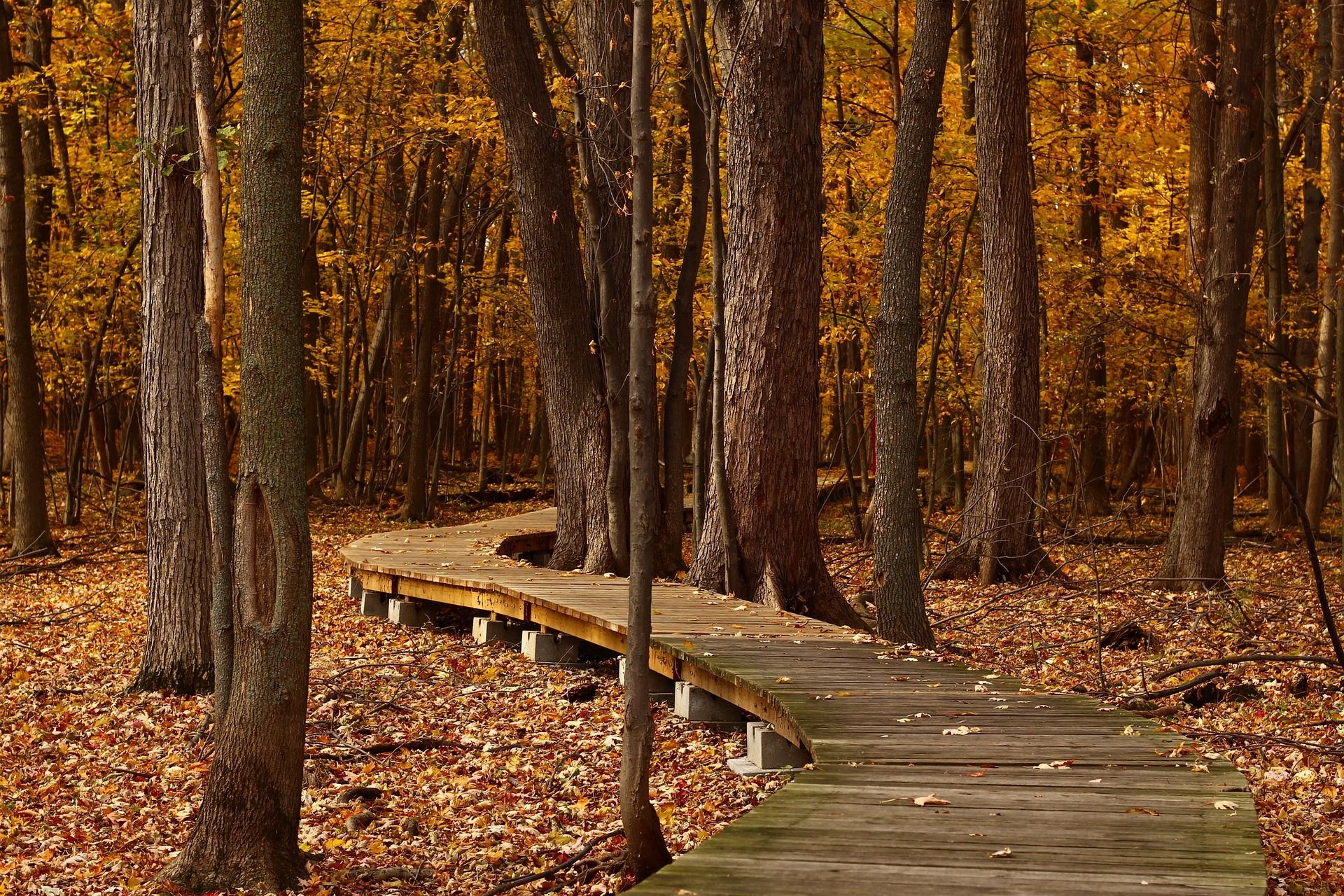
Top Hikes in Autumn - Ruhr Area and around Düsseldorf
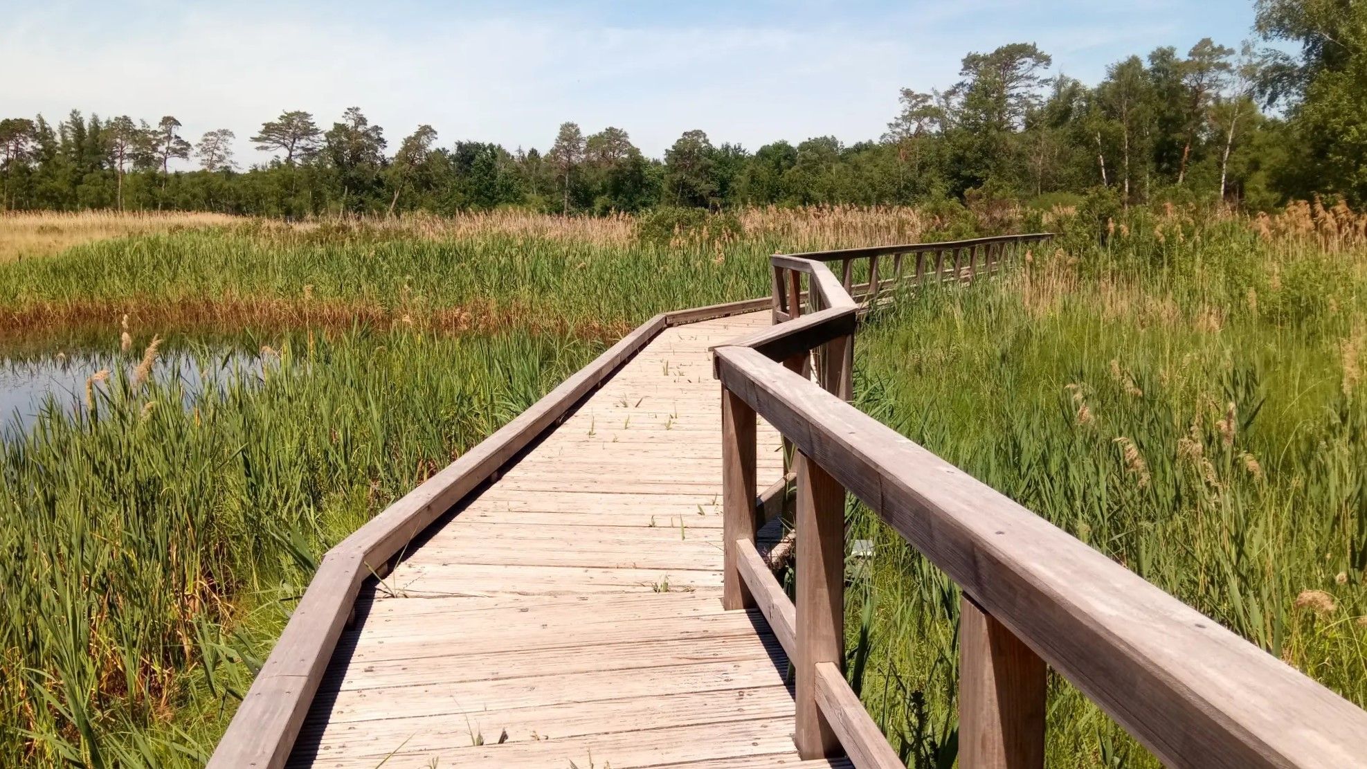
Wasser.Wander.Welt. – Premium-Spazierwanderwege
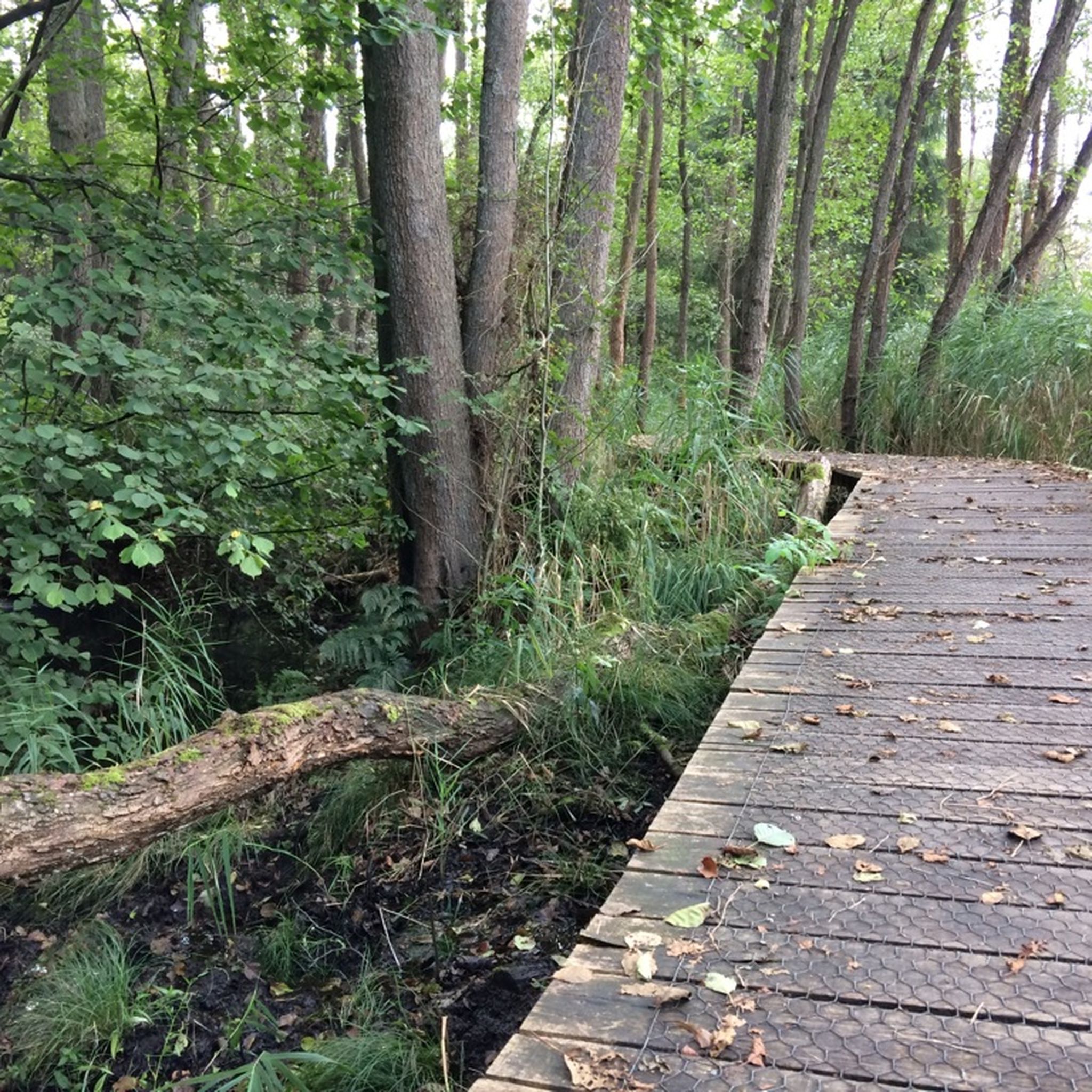
Hiking around Wegberg
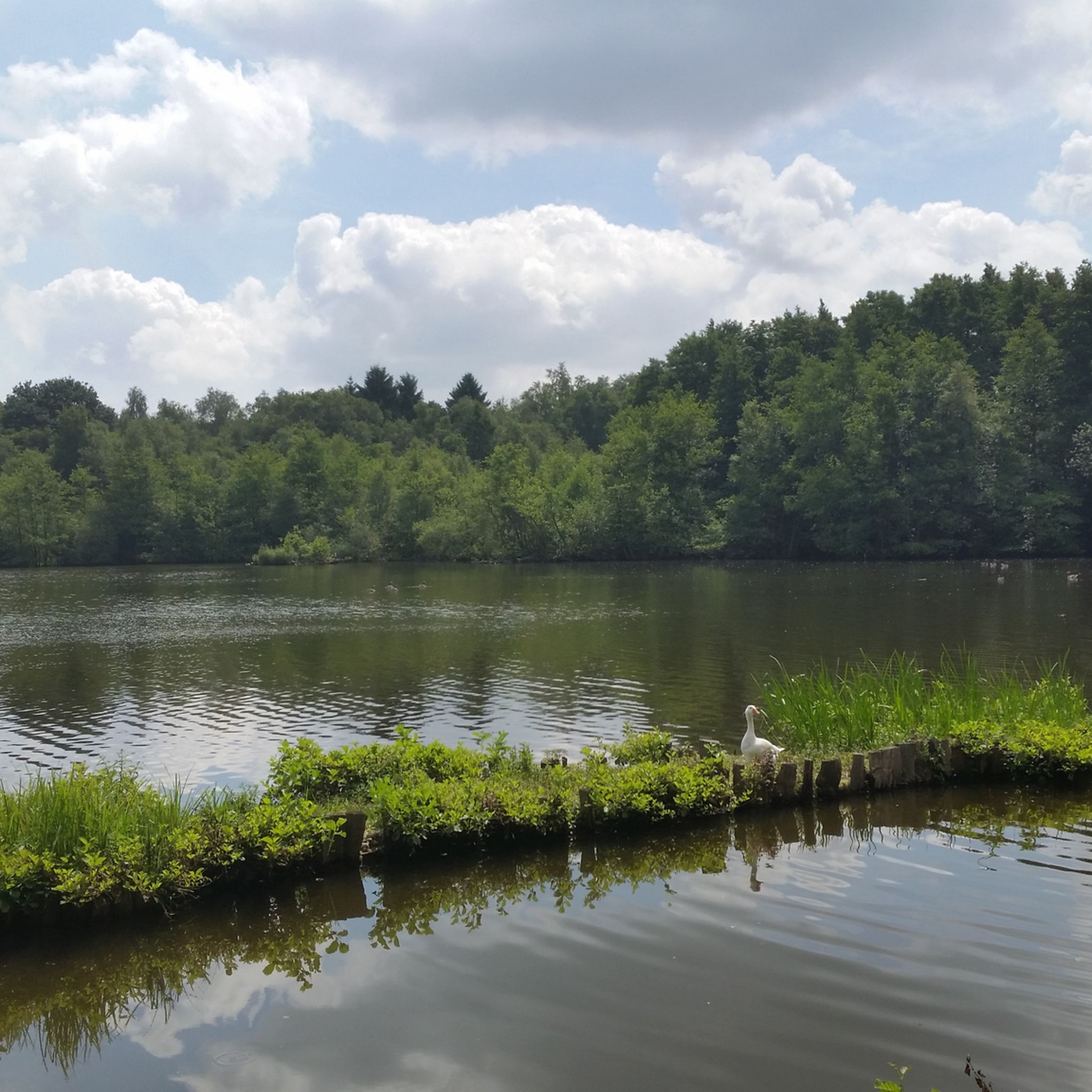
Cycling around Wegberg
Road Cycling Routes around Wegberg
Running Trails around Wegberg
Other adventures around Wegberg


Tips from the Community

A beautiful walking area along the border
0
0

The gallows of the municipality of Swalmen are also said to have been located on the Bosberg.
1
0

The Rheydter Höhe was created in 1945 from rubble left behind by the bombing of the cities of Mönchengladbach and Rheydt. The bombing destroyed 65 percent of the two urban areas. In the 1950s, large amounts of household waste were dumped on the rubble mountain. To enable plants and trees to grow, a layer of humus around one to two meters high was added to the household waste. In the 1990s, this resulted in poisonous gas emissions coming out of the rubble, which are no longer noticeable today. However, about 30 meters from the plateau, the viewing platform, you can see isolated pieces of plastic bags on the serpentine walls that were washed away by rain over time. At the northern foot of the rubble mountain there is a water playground, a pond and the Rheydter city forest with barbecue areas, mini golf, a café and opportunities for other activities. From WIKIPEDIA
0
0
The famous and notorious Baaler Berg in earlier times, when there were no motor vehicles and e-bikes.
6
0
Over time, this pile of rubbish has become a lovely hiking destination. The lake and the playground at the foot of the mountain complete the picture. The only rubbish left is the waste of a few two-legged pigs.
3
0

It's also fun for children. With playground, lake and play hide and seek.
3
0

The Bosberg is a hill east of Swalmen. It rises steeply from the landscape, the Schwalm flows south at its foot. The Bosberg is the southern summit of a steep ridge heading north and continues into Germany. (Source: https://de.foursquare.com/v/de-bosberg/4d0e1573d515236a89c8104b)
4
0
Here is a beautiful mountain bike route, with a ski jump. There is also a pole where the mountain top of the Galge Berg is located
2
0
Frequently Asked Questions
What are the most notable elevated points around Wegberg?
While Wegberg is known for gentle hills rather than traditional mountain peaks, several elevated points offer unique experiences. Among the most popular are The Bosberg, which rises steeply from the landscape with the Schwalm river at its foot, and Ascent to Monte Klamott (Rheydter Höhe), a 133-meter-high plateau accessible via more than 200 steps, offering expansive views.
What is the highest elevation point in the Wegberg area?
The highest points in the Wegberg area reach approximately 150 meters (492 feet) above sea level. One notable elevated point is Monte Klamott (Rheydter Höhe), which stands at 133 meters above sea level and provides views over the surrounding landscape.
Are there natural areas or parks to explore near Wegberg's elevated points?
Yes, Wegberg is situated within the Naturpark Maas-Schwalm-Nette, a cross-border nature and wildlife park. This park offers diverse opportunities for outdoor activities, particularly along the Schwalm river, and features tranquil natural settings. Other notable natural attractions include the Elmpter Schwalmbruch Nature Reserve and a scenic boardwalk through the moor in Schaagbachtal.
What kind of outdoor activities can I do near the elevated points around Wegberg?
The region around Wegberg is ideal for various outdoor activities. You can find numerous routes for hiking, running, and cycling. For hiking, consider trails like the 'Premium hiking trail Birgeler Urwald' or the 'Boardwalk in De Meinweg'. Cyclists can explore routes such as the 'De Meinweg National Park – Rur River loop'. You can find more details on these activities in the Hiking around Wegberg, Running Trails around Wegberg, and Cycling around Wegberg guides.
Are there easy or beginner-friendly trails around Wegberg's hills?
Yes, there are several easy trails suitable for beginners or those seeking a relaxed walk. Examples include the 'View of the Schaagbach – Wetland at the Schaagbach loop from Wildenrath' and the 'Holtmühlen-Pfad'. These routes offer a chance to enjoy the gentle landscape without significant elevation challenges. You can find more easy hiking options in the Hiking around Wegberg guide.
When is the best time to visit Wegberg for views from its elevated points?
For the best panoramic views from elevated points like Ascent to Monte Klamott (Rheydter Höhe), it is recommended to visit during the winter and spring months. During these seasons, the trees are bare, allowing for clearer and more expansive vistas over the surrounding area.
Can I find mountain biking routes near the elevated points?
Yes, some elevated points in the Wegberg area are integrated into mountain bike routes. For instance, Galgenberg 59 m a.s.l. Summit stone is part of an area known for its mountain bike trails, including sections with features like ski jumps. Forest paths around this summit are also accessible for mountain biking.
What historical significance do some of Wegberg's elevated points hold?
Some elevated points in the region have historical connections. For example, The Bosberg is said to have been the location of the gallows for the municipality of Swalmen in earlier times. The name "Wegberg" itself, meaning "path mountain" or "road mountain," likely refers to a prominent hill or its historical location on an important trade route.
What do visitors appreciate most about the elevated points and natural areas around Wegberg?
Visitors particularly enjoy the tranquil natural settings and the diverse opportunities for outdoor activities. The gentle hills, picturesque meadows, and winding rivers provide a peaceful escape. Highlights like Monte Klamott are appreciated for their rewarding views after a climb, while areas like the Elmpter Schwalmbruch are valued for their natural beauty throughout the seasons.
Are there any less-known or 'hidden gem' elevated points to explore?
Beyond the more popular spots, you might consider exploring Baaler Berg, which was historically significant in earlier times, or Sieler Berg, which rises to the left of the Millicher Bach. These offer a chance to discover quieter, less frequented elevated areas within the region's charming landscape.
Can I find circular walking routes that include these elevated points?
Yes, many of the hiking and running routes in the area are designed as circular paths, allowing you to experience the diverse landscape, including some of the elevated points. For example, the 'Boardwalk in De Meinweg – Dalheim Mill loop' is a moderate circular hike. You can explore various circular options within the Hiking around Wegberg and Running Trails around Wegberg guides.
Most popular routes around Wegberg
Most popular attractions around Wegberg

Get inspired with the komoot mobile app


Explore more
See even more amazing summits around Wegberg with these guides:
