The 3 Most Amazing Peaks around Wolmirstedt
Best mountain peaks around Wolmirstedt are characterized by the region's relatively flat to gently rolling terrain, with elevations typically ranging between 52 and 126 meters above sea level. The area is part of the Magdeburger Börde, known for its fertile lowlands, and the Colbitz-Letzlinger Heide, a heath and forest landscape. While prominent mountain peaks are not a feature of the immediate vicinity, several elevated viewpoints and hills offer opportunities for outdoor exploration. These natural features provide varied landscapes for hiking…
Last updated: October 1, 2026
Drömseberg
Highlight • Summit
Translated by Google •
Tip by

View Towards Niederdodeleben
Highlight • Viewpoint
It is located west of Magdeburg half way between Irxleben and Niederndodeleben and belongs to the …
Translated by Google •
Tip by
Sign up now to discover places like this
Get recommendations on the best single tracks, peaks, & plenty of other exciting outdoor places.
View of Teufelsberg
Highlight • Viewpoint
Translated by Google •
Tip by
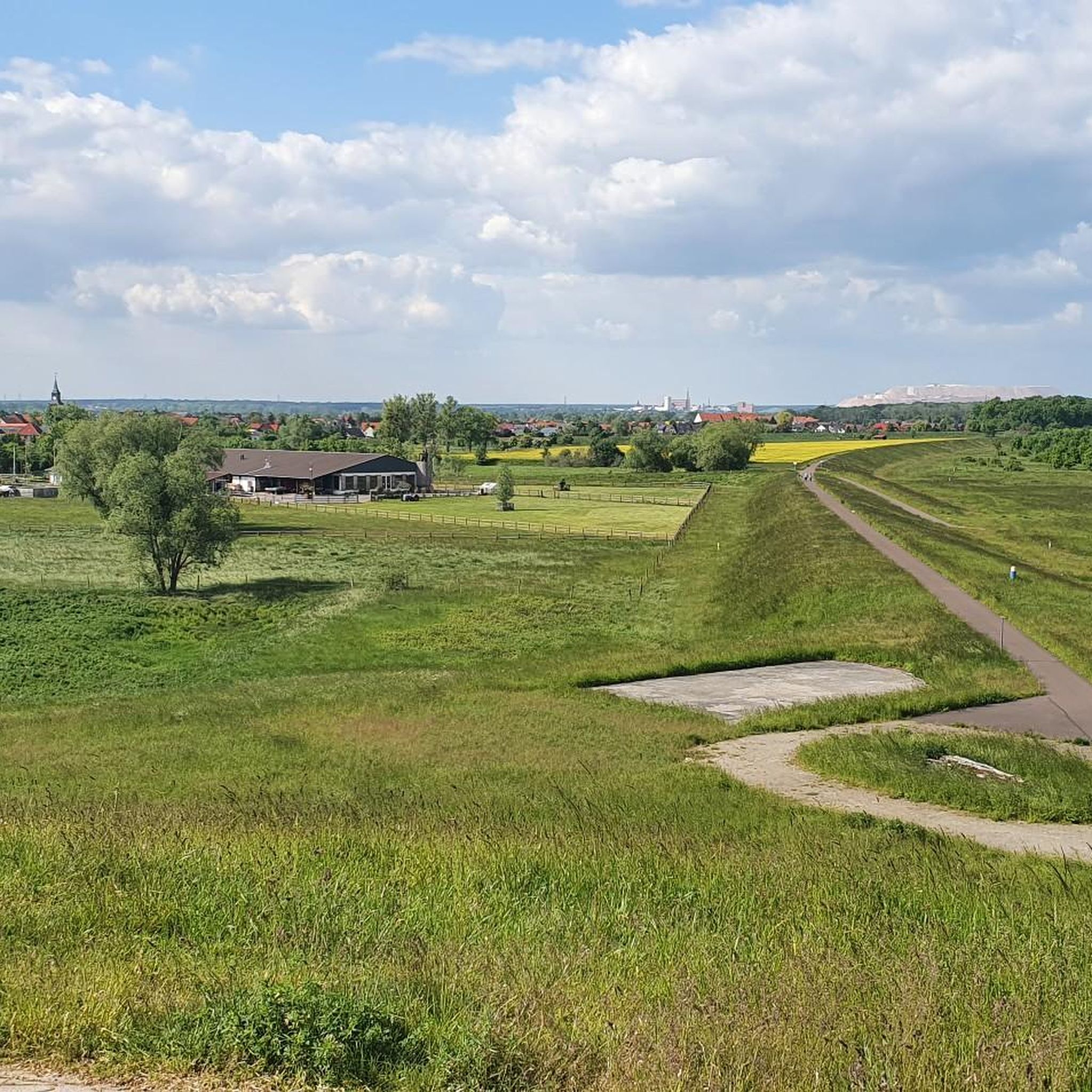
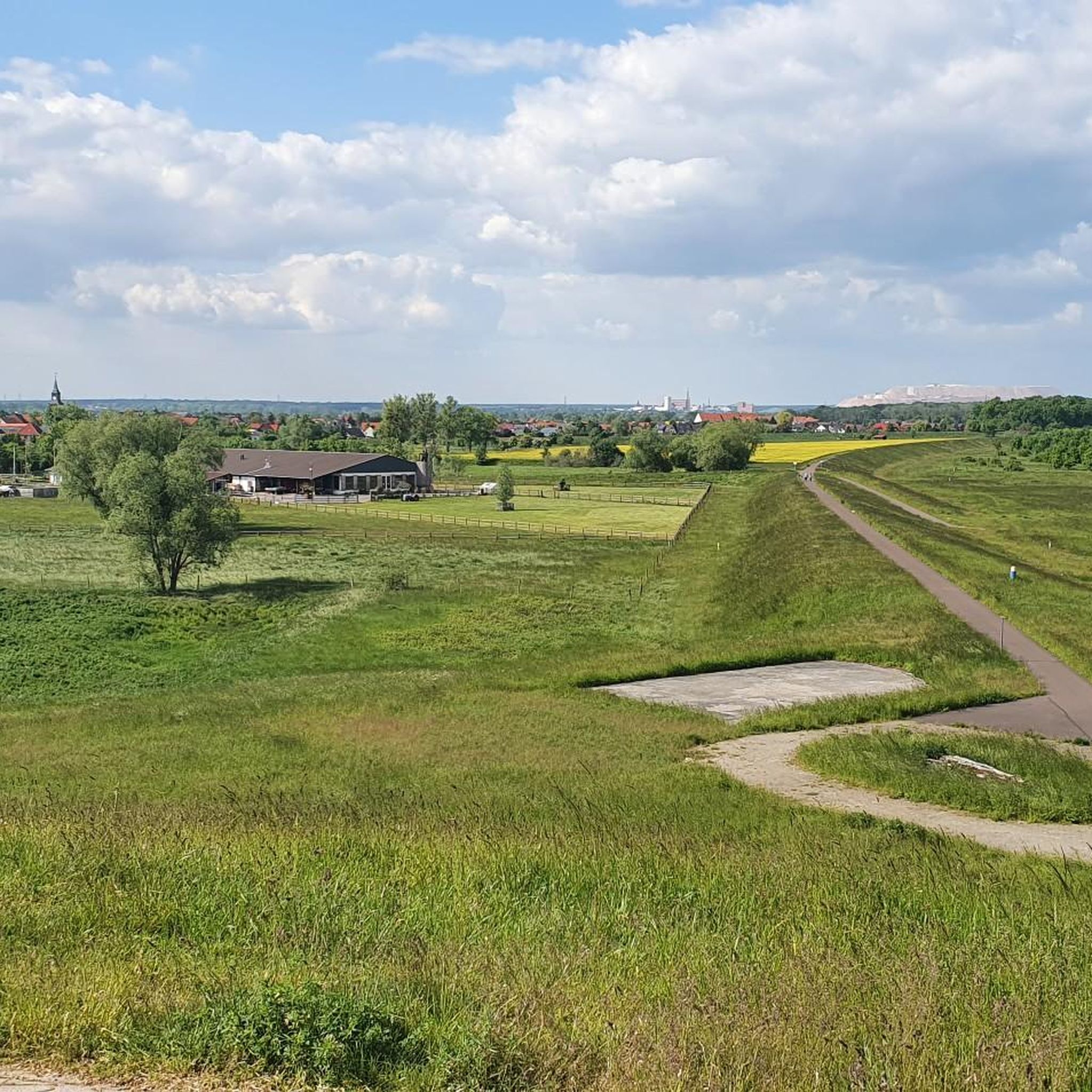
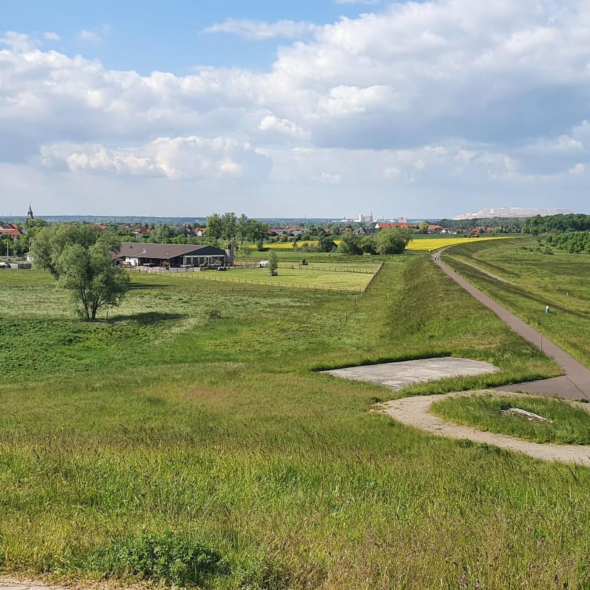
View of Glindenberg and the Kalimanjaro
Highlight • Viewpoint
stadtwolmirstedt.de/glindenberg
Translated by Google •
Tip by

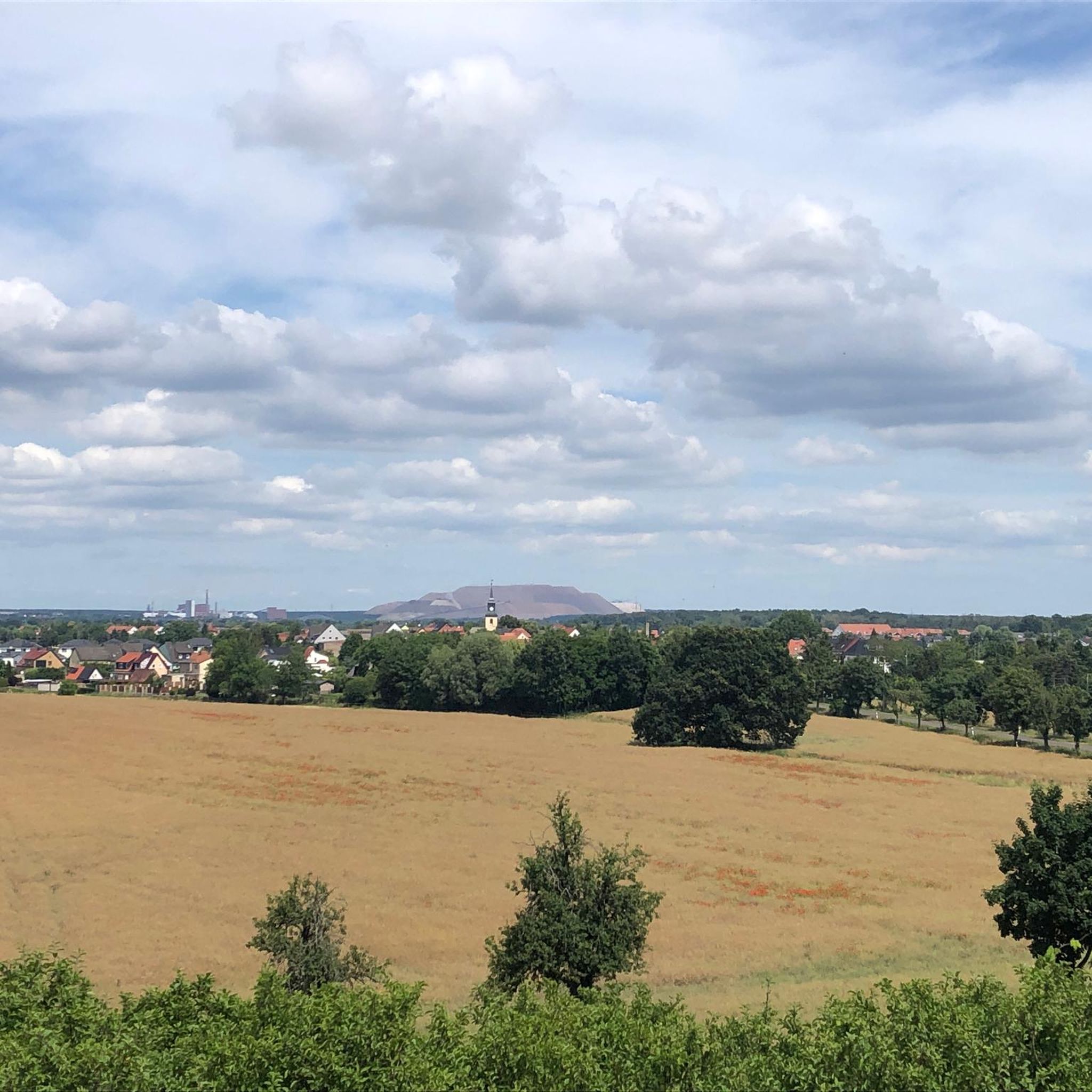
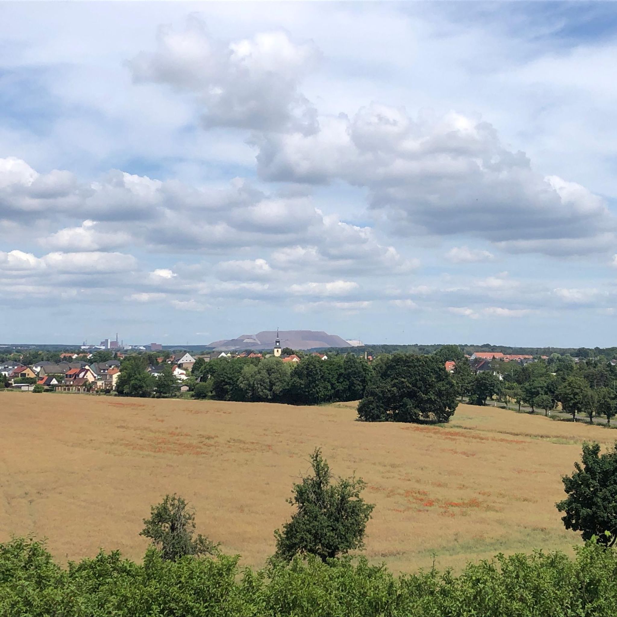
Kalimandscharo Summit Plateau
Highlight • Summit
Translated by Google •
Tip by

Start today with a free account
Your next adventure awaits.

Tips from the Community

The size of the spoil heap is impressive. From above, it resembles a desert, partly a high mountain range.
0
0


You can only get here as part of a guided tour of the slag heap, which takes place every Saturday at 3 p.m. from May to October. You should be a good walker, as the path has a gradient of 16%, is about 6 km long and takes about 3 hours. There is no shade, so it is best to bring something to drink and sun or rain protection. More information at: https://www.bergmannsverein-zielitz.de/
4
0

Nature is always wonderful to look at, especially if you come from the region and can draw comparisons
2
0

A great view of: https://www.stadtwolmirstedt.de/glindenberg/
5
0

The Great Wartberg is with 145.7 m the highest elevation in the Magdeburger Börde. It is located west of Magdeburg half way between Irxleben and Niederndodeleben and belongs to the Niederndodelebener district Schnarsleben. The survey is one of a series of hills, which line up in a north-south direction at a terrain level, which drops from the Börde east to the Elbe. This chain also includes the Dehmberg and the Felsenberg. On the west side runs the Sieggraben (brook). 1910 was built on the summit of the Bismarckturm (Schnarsleben). During the time of the GDR, a radio station of the Soviet Army was set up on the Wartberg. Buildings for soldiers and vehicles were built. On the south side of the mountain was a dump. In 1993, the association Naturfreunde Wartberg founded the traces of the temporarily abandoned military use largely removed and rehabilitated the dump. Source: Wikipedia
1
0
The Great Wartberg is with 145.7 m the highest elevation in the Magdeburger Börde. It is located west of Magdeburg half way between Irxleben and Niederndodeleben and belongs to the Niederndodelebener district Schnarsleben. The survey is one of a series of hills that line up in a north-south direction on a terrain that drops from the Börde east to the Elbe. This chain also includes the Dehmberg and the Felsenberg. On the west side runs the Sieggraben (brook). 1910 was built on the summit of the Bismarckturm (Schnarsleben). During the time of the GDR, a radio station of the Soviet Army was set up on the Wartberg. Buildings for soldiers and vehicles were built. On the south side of the mountain was a dump. In 1993, the association Naturfreunde Wartberg founded the traces of the temporarily abandoned military use largely removed and rehabilitated the dump. Source: Wikipedia
3
0
Drömseberg - 135 m high and Teufelsberg - 121m, located between Hermsdorf and Gutenswegen at the Gersdorfer Kessel. Archaeological finds prove the importance of the Gersdorfer Kessel in the pre-Christian period as a place of worship and sacrifice. At Teufelsberg, several important paths used to converge. At the Dröms, a spring south of the Drömseberg, there was a processed boulder, which however was blown up and processed as building material. His situation was such that one could follow actions on him from the slopes rising on three sides, as in a natural theater. Field names such as Kreuzhoch, Markwuhne or Heiliger Stieg also refer to a religious significance of the Gersdorfer Kessel. Source: Wikipedia
9
0
Frequently Asked Questions
What are the highest elevations around Wolmirstedt?
The region around Wolmirstedt is characterized by gently rolling terrain rather than prominent mountain peaks. The highest elevation in the Magdeburger Börde is the Great Wartberg, reaching 145.7 meters. You can find a View Towards Niederdodeleben from this area. Other notable elevated points include Drömseberg at 135 meters and Teufelsberg at 121 meters.
Are there family-friendly elevated spots or viewpoints near Wolmirstedt?
Yes, several spots are suitable for families. Drömseberg is categorized as family-friendly, offering a gentle ascent and historical context. The View of Glindenberg and the Kalimanjaro is also listed as family-friendly, providing pleasant views.
What kind of historical or cultural significance do these elevated areas hold?
Some elevated areas around Wolmirstedt have significant historical and cultural roots. For instance, Drömseberg and Teufelsberg, located in the Gersdorfer Kessel, have archaeological finds suggesting their importance as pre-Christian places of worship and sacrifice. Field names like Kreuzhoch and Heiliger Stieg further indicate their religious past. The Great Wartberg, visible from the View Towards Niederdodeleben, once hosted the Bismarckturm and later a Soviet Army radio station.
What unique natural features can I expect to see around Wolmirstedt's elevated points?
While not mountainous, the region offers interesting natural features. The Gersdorfer Kessel, where Drömseberg and Teufelsberg are situated, is noted for its natural theater-like slopes. The area is part of the Magdeburger Börde, known for its fertile lowlands, and borders the Colbitz-Letzlinger Heide, a heath and forest landscape.
Are there any challenging climbs or unique experiences for experienced hikers?
For a more challenging experience, consider the Kalimandscharo Summit Plateau. This is a spoil heap that requires a good level of fitness, with paths having a gradient of 16%. Access is typically part of a guided tour, which takes about 3 hours and covers approximately 6 km. It offers impressive, desert-like views from the top.
What hiking trails are available near these elevated points?
You can find various hiking trails in the Wolmirstedt area. For example, the "Stream with pussy willows – Landhaus Mose loop from Wolmirstedt" is an easy 7.8 km route. A moderate option is the "Waterway Intersection – View from the Trogbrücke loop from Hohenwarthe," which is about 12 km long. More hiking options are available in the Hiking around Wolmirstedt guide.
Can I access these elevated areas using public transport?
While specific public transport details for each elevated point are not provided, there are hiking routes designed to be accessible from bus stations around Wolmirstedt. You can explore options like the "Bench and swing seat – View of the Kalimandscharo loop from Farsleben" or the "St. Catherine's Church – Wolmirstedt Pedestrian Zone loop from Wolmirstedt" in the Hikes from bus stations around Wolmirstedt guide.
What is the best time of year to visit the elevated viewpoints around Wolmirstedt?
The region around Wolmirstedt can be enjoyed throughout the year. Spring and autumn offer pleasant temperatures for hiking and clear views. Summer provides longer daylight hours, though some areas like the Kalimandscharo Summit Plateau have no shade, so sun protection is advised. Winter can offer a different, serene landscape, but check local conditions.
Are there cycling routes that pass by or near these elevated points?
Yes, the area around Wolmirstedt offers several cycling routes. You can find routes like the "Kalimandscharo Zielitz – Forest Cycle Path near Colbitz loop from Wolmirstedt," a moderate 47 km ride, or the "Dike Crest Path – View of the Kalimandscharo loop from Kanalbrücke Magdeburg." More cycling options are detailed in the Cycling around Wolmirstedt guide.
What do visitors particularly enjoy about the elevated spots near Wolmirstedt?
Visitors appreciate the scenic views and the sense of being on top of the region, even if the elevations are modest. The View of Glindenberg and the Kalimanjaro is noted for its wonderful natural vistas. The sheer size and unique, desert-like appearance of the Kalimandscharo Summit Plateau also leave a lasting impression.
Is the Great Wartberg accessible for people with wheelchairs?
The View Towards Niederdodeleben, which is located on the Great Wartberg, is categorized as wheelchair accessible. This suggests that at least parts of this elevated area offer suitable access for wheelchair users.
Most popular routes around Wolmirstedt
Most popular attractions around Wolmirstedt

Get inspired with the komoot mobile app


Explore more
See even more amazing summits around Wolmirstedt with these guides:
