The 4 Most Amazing Peaks around Bönen
Best mountain peaks around Bönen refers to the highest points within a predominantly flat to gently undulating landscape. Bönen, located in the district of Unna, North Rhine-Westphalia, Germany, features an average elevation of around 73 to 74 meters above sea level. While traditional mountain peaks are not present, the region offers gentle hills and spoil tips that provide elevated views and serve as local high points. These geographical features contribute to the area's network of cycling and walking paths, making…
Last updated: June 28, 2026
Adener Height – Großes Holz spoil tip
Highlight • Viewpoint
Translated by Google •
Tip by

Windsegelhalde
Highlight • Structure
Translated by Google •
Tip by

Sign up now to discover places like this
Get recommendations on the best single tracks, peaks, & plenty of other exciting outdoor places.
Sign up for free
Kurricker Berg – Highest Natural Point in Hamm
Highlight • Summit
Higher in Hamm is only the artificial landscaped "hillside Kissinger height" with 112.3 m above sea level. NN.
Translated by Google •
Tip by

Henrichsknübel
Highlight • Summit
Translated by Google •
Tip by

View from Henrichsknübel towards Sauerland
Highlight • Viewpoint
Translated by Google •
Tip by
Sign up for free to discover even more peaks around Bönen.
Sign up for free
Already have an account?
Start today with a free account
Your next adventure awaits.
Login or Signup
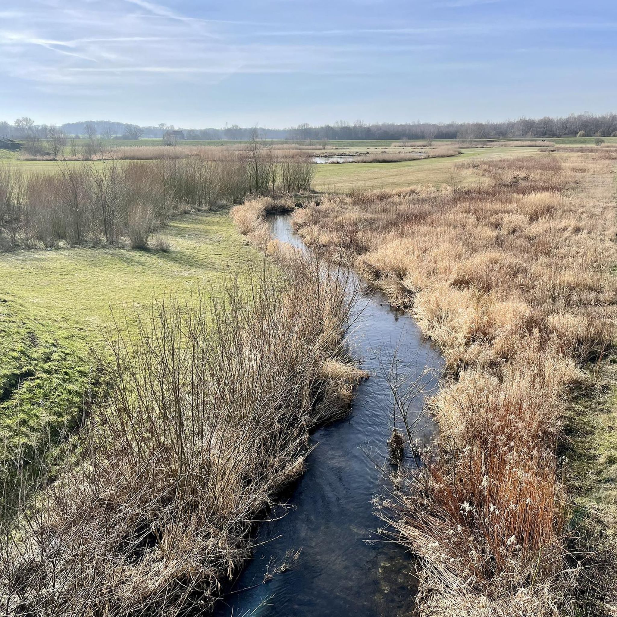
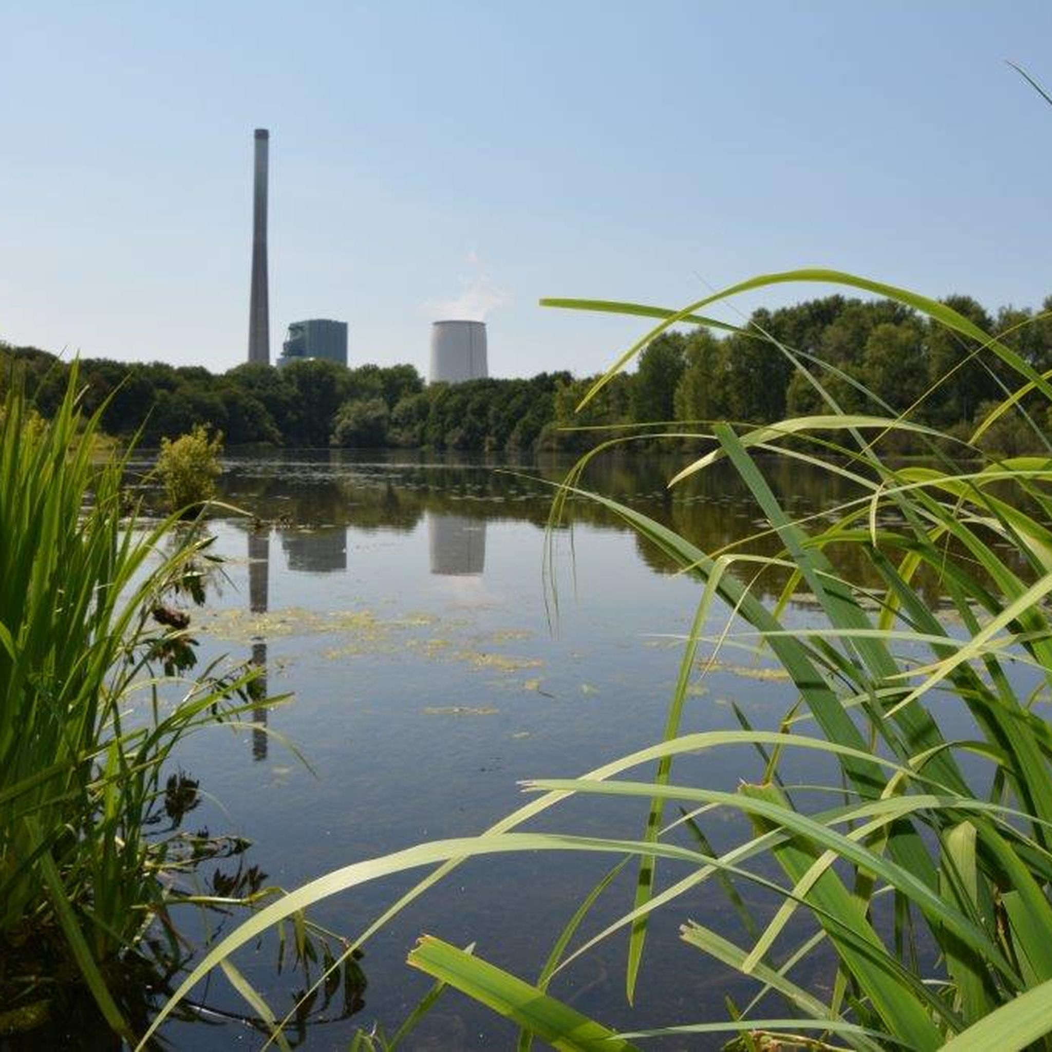
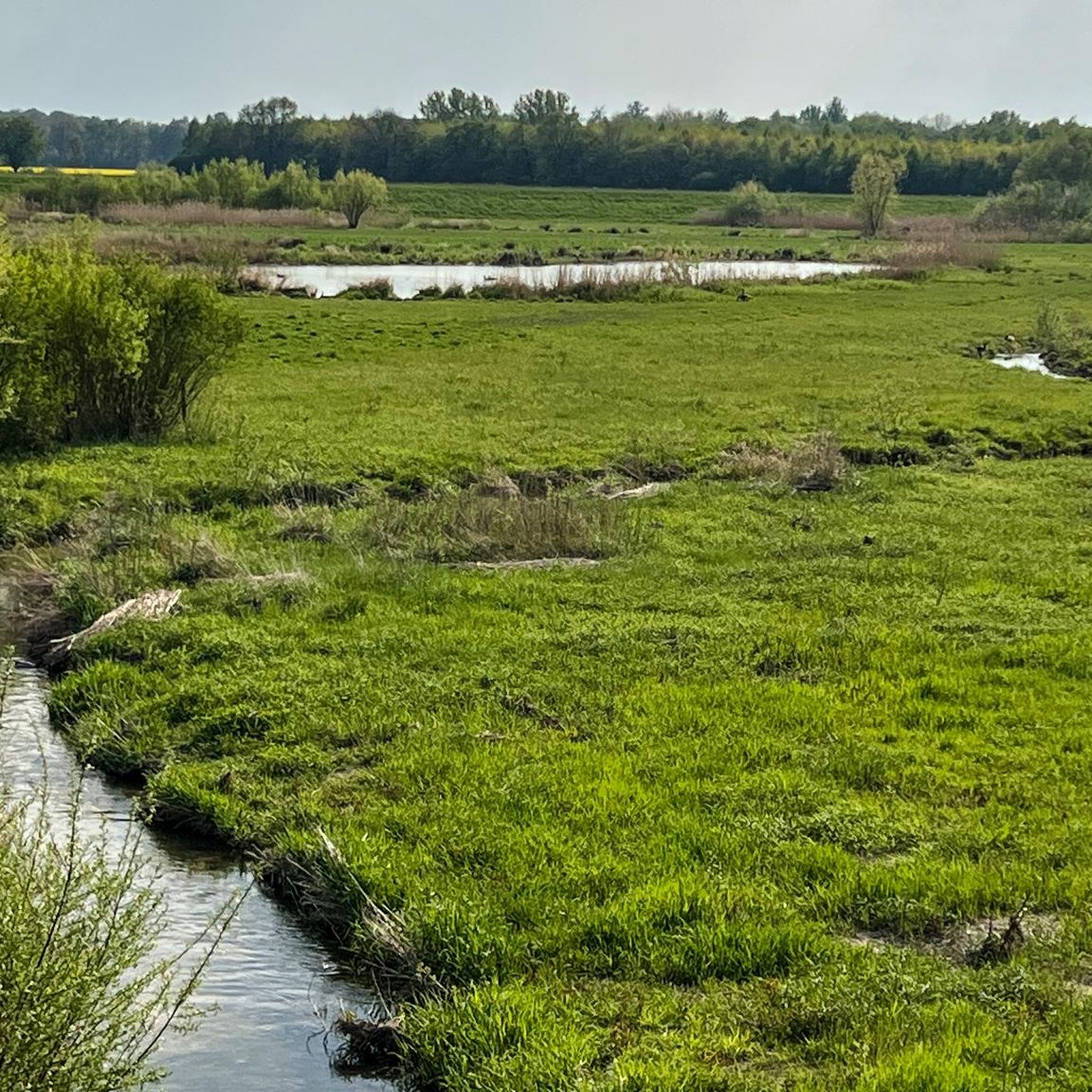
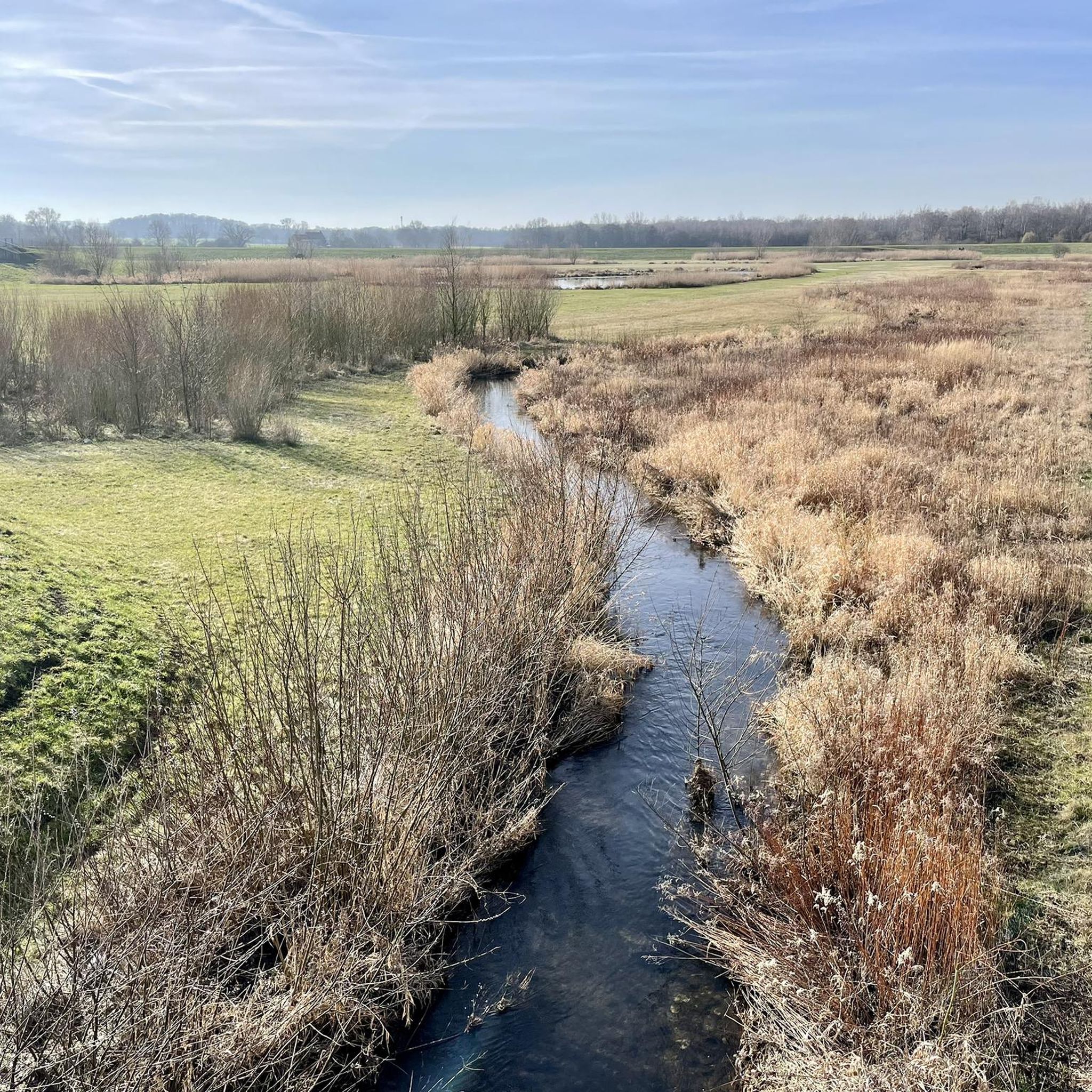
Tips from the Community

Beautiful cycle path and wonderful views towards Sauerland
0
0

Second highest point in the district of Unna
0
0

A high mast crowns the summit. A large white sail used to be attached here as a wind indicator. In summer, the view is almost non-existent due to the bushes.
2
0

Great for a little hill sprint and a reasonably good view. According to the Statistical Yearbook of the City of Hamm 2005, the highest natural elevation in the district area and also in the city of Hamm is 102.0 m above sea level. NN on the Kurricker Berg. In fact, only about 10% of the Kurricker Berg belongs to Bockum-Hövel; the larger part, including the highest elevation, is in Drensteinfurt.
0
0
Nice view in all directions
2
0
The Henrichsknübel is one of the highest elevations in the district of Unna and used to serve as a relay station for the analogue radio communication in the 4m band of the authorities and organizations with security tasks (BOS) such as the police, fire brigade, rescue service and aid organizations.
5
1

Various sources, which are now somewhat outdated, categorize this specimen as a burning heap, but it has not yet been possible to research a current status on this. However, there is no danger to humans or animals. A visit is not dangerous and is especially tingling considering that somewhere deep under you there might still be a nest of self-ignited embers. Source: https://www.ruhrgebiet-industriekultur.de/halde-grosses-holz/
7
0
With an area of 140 hectares and a height of 148 meters above sea level, the Bergehalde offers over 40 km of hiking trails. The corridor park, the tree plateau and the grass field are waiting to be discovered. During the hike you are surrounded by a colorful landscape and blue herbs. Once at the top, you will be rewarded with a fabulous view. You can enjoy the view from the "Adener Höhe" of the Münsterland, the Sauerland, the eastern and western Ruhr area.
16
1
Frequently Asked Questions
What are the highest points or 'peaks' I can visit around Bönen?
While Bönen is largely flat, you can explore several elevated points and spoil tips that offer views. Notable spots include the Adener Height – Großes Holz spoil tip, which reaches 148 meters above sea level and provides extensive views. Another significant elevation is Henrichsknübel, one of the highest points in the district of Unna, offering panoramic views. You can also visit Kurricker Berg – Highest Natural Point in Hamm, which is over 100 meters above sea level.
Are there family-friendly elevated spots or 'peaks' to visit near Bönen?
Yes, several elevated points around Bönen are suitable for families. The Adener Height – Großes Holz spoil tip is considered family-friendly and offers varied terrain for exploration. Kurricker Berg – Highest Natural Point in Hamm and Henrichsknübel are also categorized as family-friendly, providing accessible viewpoints.
What kind of views can I expect from the elevated points around Bönen?
From elevated points like the Adener Height – Großes Holz spoil tip, you can enjoy varied and extensive views of the eastern Ruhr area, Münsterland, and Sauerland. The Henrichsknübel and its associated View from Henrichsknübel towards Sauerland offer fantastic panoramic views in all directions, especially on clear days. Kurricker Berg also provides a reasonably good vantage point.
Are there hiking trails associated with these elevated points?
Yes, the Adener Height – Großes Holz spoil tip alone features over 40 km of hiking trails, allowing you to explore its colorful landscape. While Bönen itself is known for a network of cycling and walking paths, these elevated spots integrate well into local routes. For more hiking options, you can explore various routes around Bönen, including those suitable for mountain biking and touring bicycles, which often pass by or near these elevated features. You can find more details on MTB Trails around Bönen or Cycling around Bönen.
What is the highest natural point in the Bönen region?
The region around Bönen is characterized by gentle hills rather than traditional mountains. The highest natural elevation in the district of Unna, where Bönen is located, is Henrichsknübel. In the nearby city of Hamm, the highest natural point is Kurricker Berg, measured at over 100 meters above sea level.
What outdoor activities can I do near the elevated points around Bönen?
The area around Bönen is excellent for various outdoor activities, particularly cycling and walking. You can find numerous routes for mountain biking, road cycling, and general touring. For example, there are MTB Trails around Bönen, Road Cycling Routes around Bönen, and general Cycling around Bönen guides that incorporate the local landscape and elevated features.
What is the 'Windsegelhalde' and what can I see there?
The Windsegelhalde is a spoil tip near Hamm, featuring a high mast that once held a large white sail as a wind indicator. While the view can be limited in summer due to bushes, it is also home to the eight-meter-high steel Saxon cross by Paul Reding with bronze relief panels, making it a point of interest.
What is special about the Adener Height – Großes Holz spoil tip?
The Adener Height – Großes Holz spoil tip is a popular viewpoint covering 140 hectares and reaching 148 meters above sea level. It offers over 40 km of hiking trails through a colorful landscape, including a corridor park, tree plateau, and grass field. Visitors are rewarded with fabulous views of the Münsterland, Sauerland, and the eastern and western Ruhr area.
Can I find natural monuments or unique geographical features near Bönen?
Yes, while Bönen is not mountainous, you can find interesting natural and man-made elevated features. The Adener Height – Großes Holz spoil tip is considered a natural monument and offers a unique landscape formed from mining activities. Kurricker Berg is recognized as the highest natural point in Hamm, providing a glimpse into the region's subtle topography.
What do visitors enjoy most about the elevated points around Bönen?
Visitors particularly enjoy the extensive and panoramic views offered from these elevated points, especially at sunset. The varied terrain of spoil tips like the Adener Height – Großes Holz spoil tip is appreciated for hiking. Many also value the opportunity for a 'hill sprint' at spots like Kurricker Berg and the overall peaceful, rural charm of the Westphalian landscape.
Are there any historical or cultural points of interest at these elevated locations?
Yes, some elevated points have historical significance. For instance, Henrichsknübel once served as a relay station for analogue radio communication for authorities and organizations like the police and fire brigade. The Windsegelhalde features an eight-meter-high steel Saxon cross by Paul Reding, adding a cultural element to the landscape.
Most popular routes around Bönen
Most popular attractions around Bönen

Get inspired with the komoot mobile app


Explore more
See even more amazing summits around Bönen with these guides:
