The best mountain hikes around Apfeldorf
3.0
(1)
15
hikers
3
hikes
Mountaineering routes around Apfeldorf are situated in the Northern Alpine Foreland of Bavaria, Germany, offering access to both local natural beauty and the nearby Alps. The region is characterized by its location along the Lech River, with landscapes featuring ancient forests like the Paterzell Yew Forest and prominent hills such as Hoher Peißenberg. While Apfeldorf itself provides gentler outdoor pursuits, its strategic position makes it a gateway for more demanding mountaineering in the wider Alpine region.
Best mountaineering routes around…
Last updated: July 12, 2026
2
hikers
5.11km
01:33
190m
190m
Easy mountaineering route. Great for any fitness level. Easily-accessible paths. Suitable for all skill levels.
1
hikers
4.54km
01:33
200m
200m
Moderate mountaineering route. Great for any fitness level. Mostly accessible paths. Sure-footedness required.

Sign up for free
3
hikers
5.84km
01:59
220m
220m
Moderate mountaineering route. Great for any fitness level. Mostly accessible paths. Sure-footedness required.
Our route recommendations are based on thousands of hikes, rides, and runs completed by other people on komoot.
Start today with a free account
Your next adventure awaits.
Login or Signup
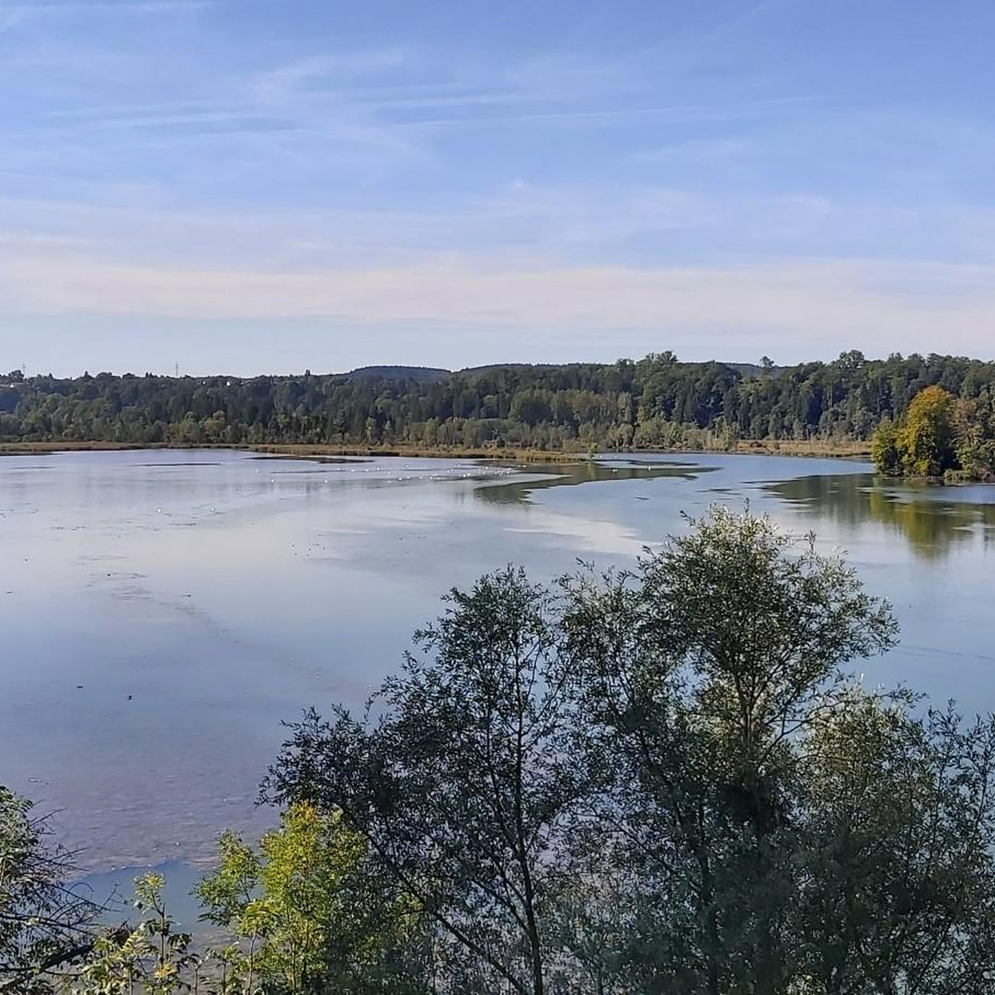
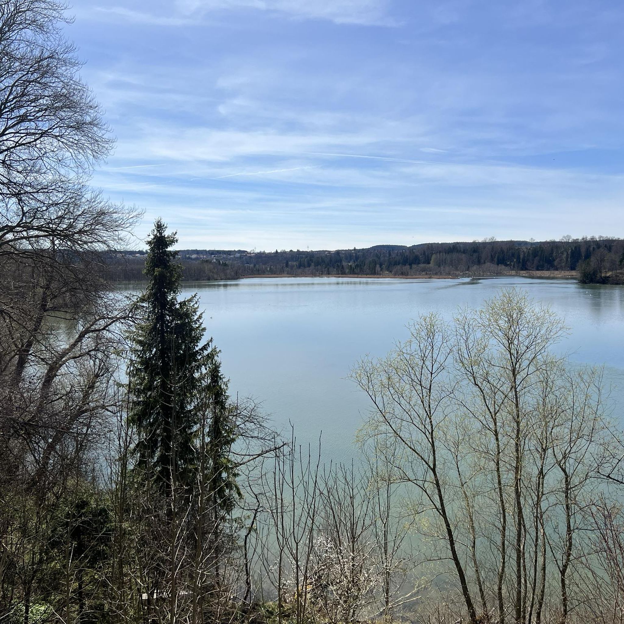
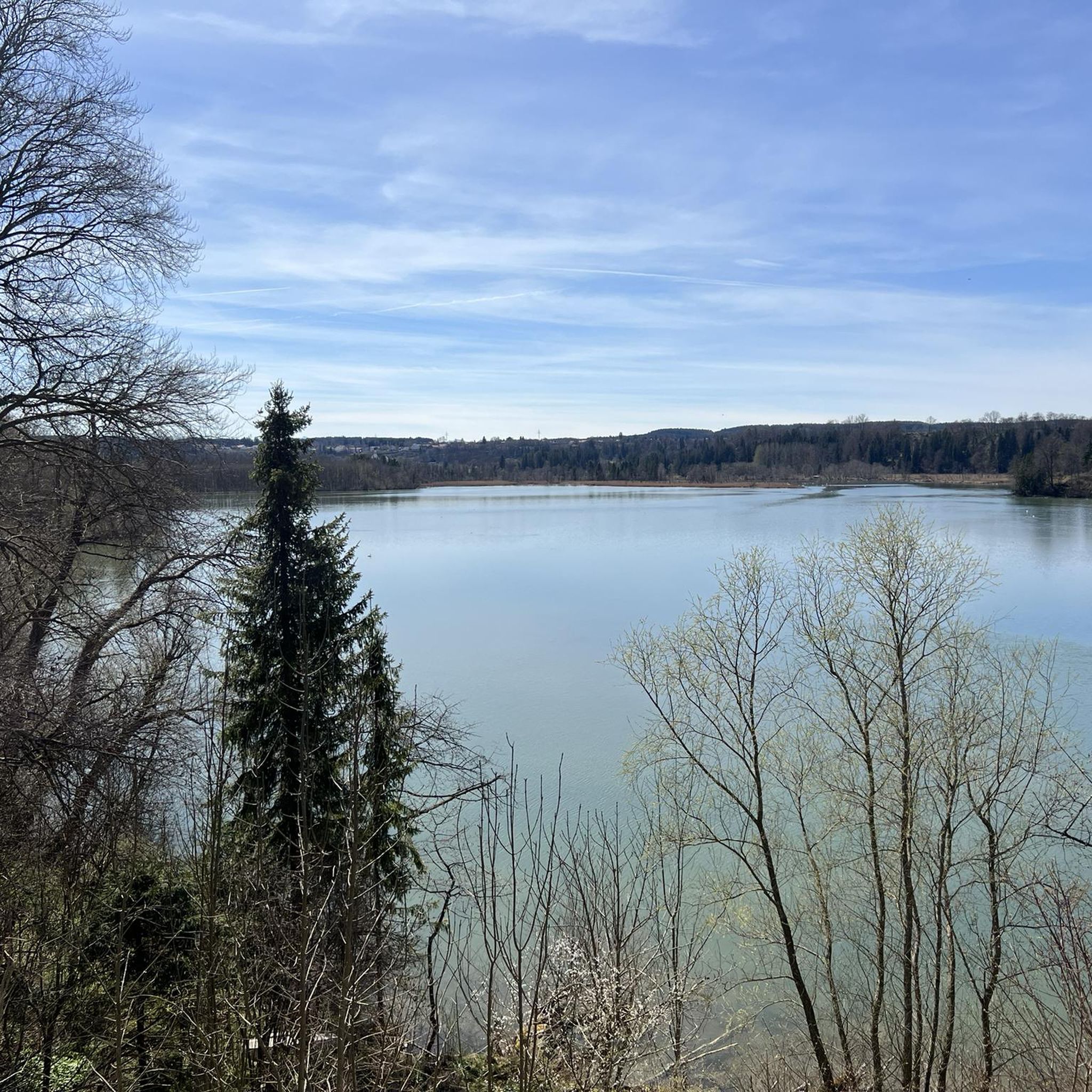
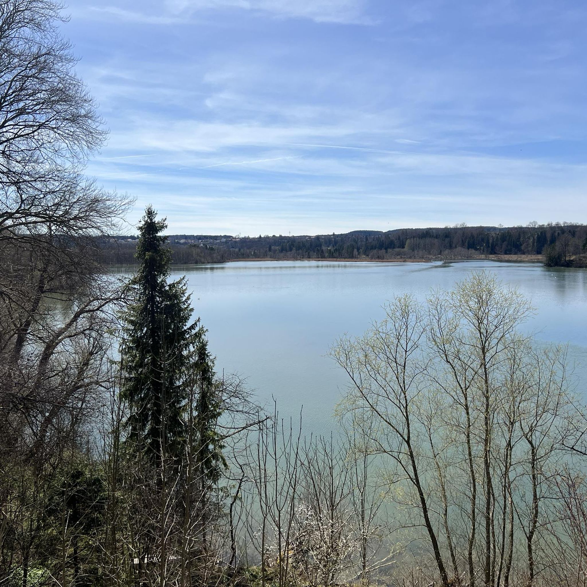
Tips from the Community

Good inn in Hohenpeißenberg
1
0
Great view in all directions from Bayrischen Rigi
1
0
... and at Easter the fountain is especially decorated!
1
0
Beautiful pilgrimage church Mariä Himmelfahrt on the Hohen Peißenberg
1
0
Great view of the mountains
1
0
Small Herz-Jesu chapel on the path on the western side of Hohenpeißenberg
1
0
Beautiful view of the Alps mountain range
1
0

So, if you look south from the Hohen Peißenberg hill next to the Church of the Assumption of Mary, you can definitely see into the Ammer Valley. To see the Loisach River, you'd have to look as far as Penzberg, Murnau, or Garmisch-Partenkirchen. That might be difficult. Maybe I'll remember to bring my binoculars next time. Let's see if I can spot the Loisach in the distance, or if hills and mountains are in the way.
1
0
Frequently Asked Questions
How many mountaineering routes are available around Apfeldorf?
There are 5 mountaineering routes detailed in this guide for the Apfeldorf area. These routes offer a range of experiences, from easy loops to more moderate ascents, primarily focusing on the scenic Hoher Peißenberg region.
What is the best time of year for mountaineering near Apfeldorf?
The best seasons for hiking and mountaineering in the Apfeldorf region are generally spring and autumn, when the natural scenery is particularly vibrant and the weather is often pleasant. While Apfeldorf itself offers gentler pursuits, its proximity to the Bavarian Alps means that more demanding mountaineering can be undertaken in the wider Alpine region, where conditions can vary significantly by season and altitude.
What kind of difficulty can I expect on mountaineering routes around Apfeldorf?
The routes directly around Apfeldorf, as featured in this guide, are generally accessible. You'll find 1 easy route and 4 moderate routes. This makes the area suitable for a wide range of mountaineers, from those seeking a leisurely walk to those looking for a slightly more challenging ascent.
Are there any circular mountaineering routes in the Apfeldorf area?
Yes, all the mountaineering routes listed in this guide are circular. For example, you can enjoy the View from Hohenpeißenberg – Herz-Jesu Chapel loop from Hohenpeißenberg or the longer Totem Pole at Hoher Peißenberg – View from Hohenpeißenberg loop from Hohenpeißenberg, both offering a return to your starting point.
What natural attractions or landmarks can I see while mountaineering near Apfeldorf?
The Apfeldorf area is rich in natural beauty and interesting landmarks. While exploring the routes, you might encounter the impressive Lech River, or visit the Hoher Peißenberg Summit and Pilgrimage Church, which offers expansive views. Other notable features in the wider region include the ancient Paterzell Yew Forest and the tranquil Mechtildis Spring. You can also find several beautiful lakes nearby, such as Engelsrieder Lake.
Are there routes with good viewpoints in the Apfeldorf region?
Absolutely. The Hoher Peißenberg Summit and Pilgrimage Church is a prominent feature in the area and offers fantastic panoramic views of the Alpine foothills, including the Ammersee, Starnberger See, and even the Zugspitze on clear days. The 'Himmelsleiter' Lookout Point, mentioned in regional research, also provides breathtaking vistas over the entire Alpine foothills.
Are there family-friendly mountaineering routes around Apfeldorf?
Yes, the Apfeldorf area offers routes suitable for families. The View from Hohenpeißenberg – Herz-Jesu Chapel loop from Hohenpeißenberg is an easy route, taking about 1 hour 33 minutes to complete, making it a great option for families with children. It offers gentle ascents and scenic views without being overly strenuous.
What are the parking options for mountaineering trails near Apfeldorf?
While specific parking details for each trailhead are best checked on the individual komoot tour pages, routes like those around Hoher Peißenberg typically have designated parking areas at their starting points. For example, tours such as the Totem Pole at Hoher Peißenberg – View from Hohenpeißenberg loop from Hohenpeißenberg usually start from accessible locations with parking facilities in Hohenpeißenberg.
Can I access mountaineering routes near Apfeldorf using public transport?
Apfeldorf itself is a smaller village, but public transport options exist to reach the general region. For specific trailheads, especially those further into the mountains, it's advisable to check local bus schedules or train connections to nearby towns like Hohenpeißenberg, which serves as a starting point for several routes in this guide, such as the Hoher Peißenberg loop from Hohenpeißenberg. Planning ahead is recommended.
Are there any cafes or places to eat near the mountaineering routes?
Yes, particularly around the more popular starting points like Hohenpeißenberg, you can often find cafes or restaurants. For instance, near the Seehäusl at Engelsrieder See, you can find dining options. It's always a good idea to check opening hours in advance, especially during off-peak seasons.
Are permits required for mountaineering in Apfeldorf or the surrounding Bavarian Alps?
Generally, permits are not required for hiking or mountaineering on marked trails in the Apfeldorf area or the Bavarian Alps. However, if you plan to engage in specific activities like climbing in designated areas or accessing private land, it's always best to check local regulations. For general mountaineering on public trails, you typically won't need a permit.
What do other mountaineers enjoy the most about mountaineering in Apfeldorf?
Mountaineers using komoot often praise the varied terrain and the stunning views from prominent points like Hoher Peißenberg. The region's blend of rolling Alpine foothills and the scenic Lech River valley offers a diverse experience. Many appreciate the well-maintained paths and the opportunity to explore both local natural beauty and the gateway to the more challenging Alpine regions.
Most popular routes around Apfeldorf
Most popular attractions around Apfeldorf

Get inspired with the komoot mobile app


Explore more
Browse the best Mountain Hikes & Routes in other regions.
