The 5 Most Amazing Peaks around Rosenbach/Vogtland
Best mountain peaks around Rosenbach/Vogtland are found in a predominantly hilly landscape, offering numerous elevated points and scenic viewpoints. The municipality itself sits at an elevation of around 487 to 519 meters, with local hiking routes featuring significant elevation changes. This region provides diverse hiking opportunities through natural forests, green mountain meadows, and idyllic valleys. These elevated areas offer rewarding experiences and panoramic views across the Vogtland.
Best mountain peaks around Rosenbach/Vogtland
- The most popular mountain peaks is Rosenbühl Summit…
Last updated: July 12, 2026
Bismarck Tower on the Kemmler
Highlight • Monument
Translated by Google •
Tip by

Rosenbühl Summit and Shelter
Highlight • Summit
Translated by Google •
Tip by

Sign up now to discover places like this
Get recommendations on the best single tracks, peaks, & plenty of other exciting outdoor places.
Sign up for free
Sandberg Triangulation Pillar
Highlight • Monument
The triangulation network (triangle network) of the Kingdom of Saxony …
Translated by Google •
Tip by

Königsberg Summit Rest Area and Summit Book
Highlight • Summit
Translated by Google •
Tip by

View from Sandberg
Highlight • Viewpoint
Translated by Google •
Tip by

Sign up for free to discover even more peaks around Rosenbach/Vogtland.
Sign up for free
Already have an account?
Start today with a free account
Your next adventure awaits.
Login or Signup
Popular around Rosenbach/Vogtland
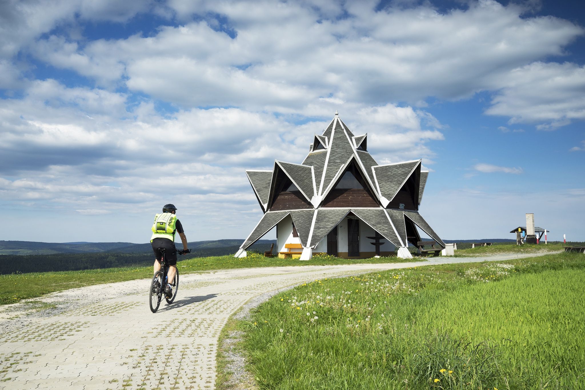
Explore Germany’s Vogtland — loop Tours for keen cyclists
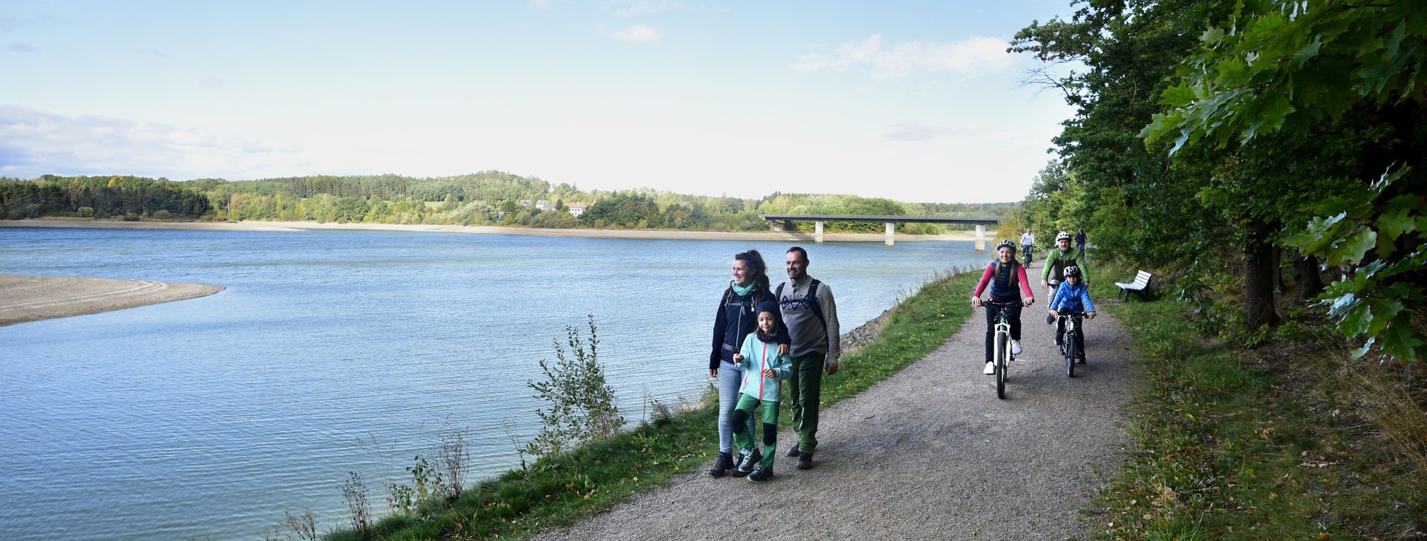
Family fun on foot and bike — explore Germany’s Vogtland
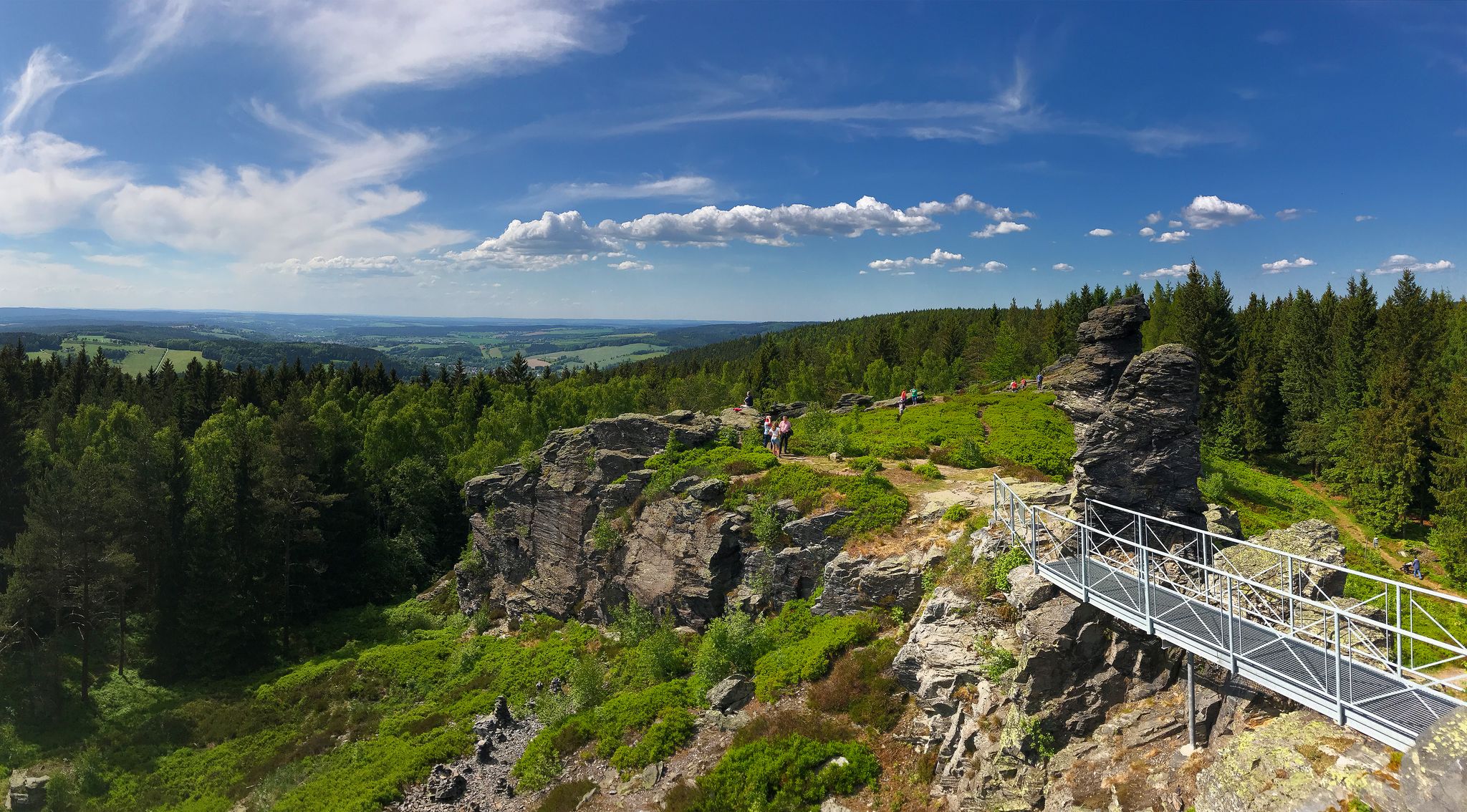
Experience the sounds of nature — hikes in the Vogtland Region
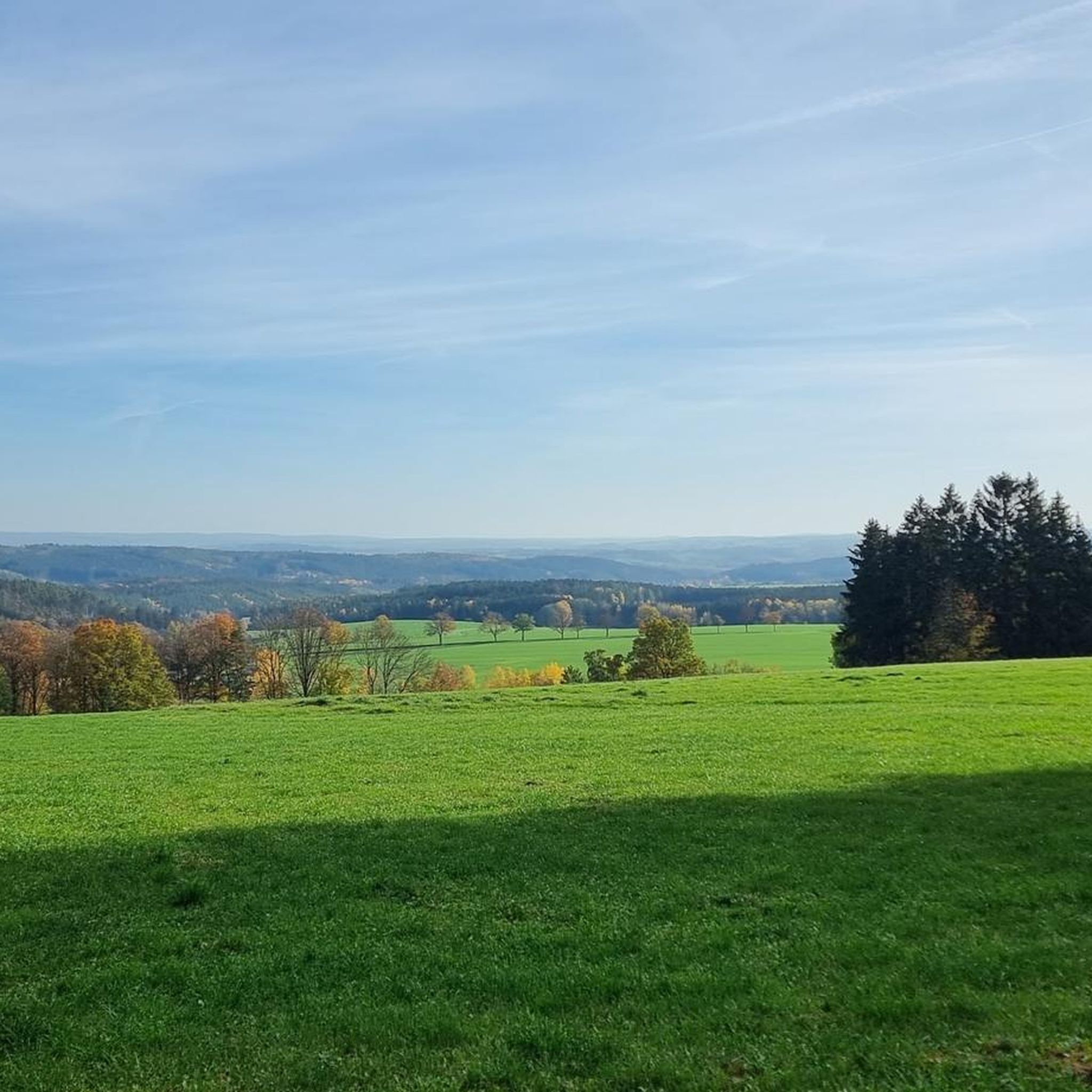
Hiking around Rosenbach/Vogtland
Cycling around Rosenbach/Vogtland
Road Cycling Routes around Rosenbach/Vogtland
MTB Trails around Rosenbach/Vogtland
Running Trails around Rosenbach/Vogtland
Gravel biking around Rosenbach/Vogtland
Other adventures around Rosenbach/Vogtland

Tips from the Community

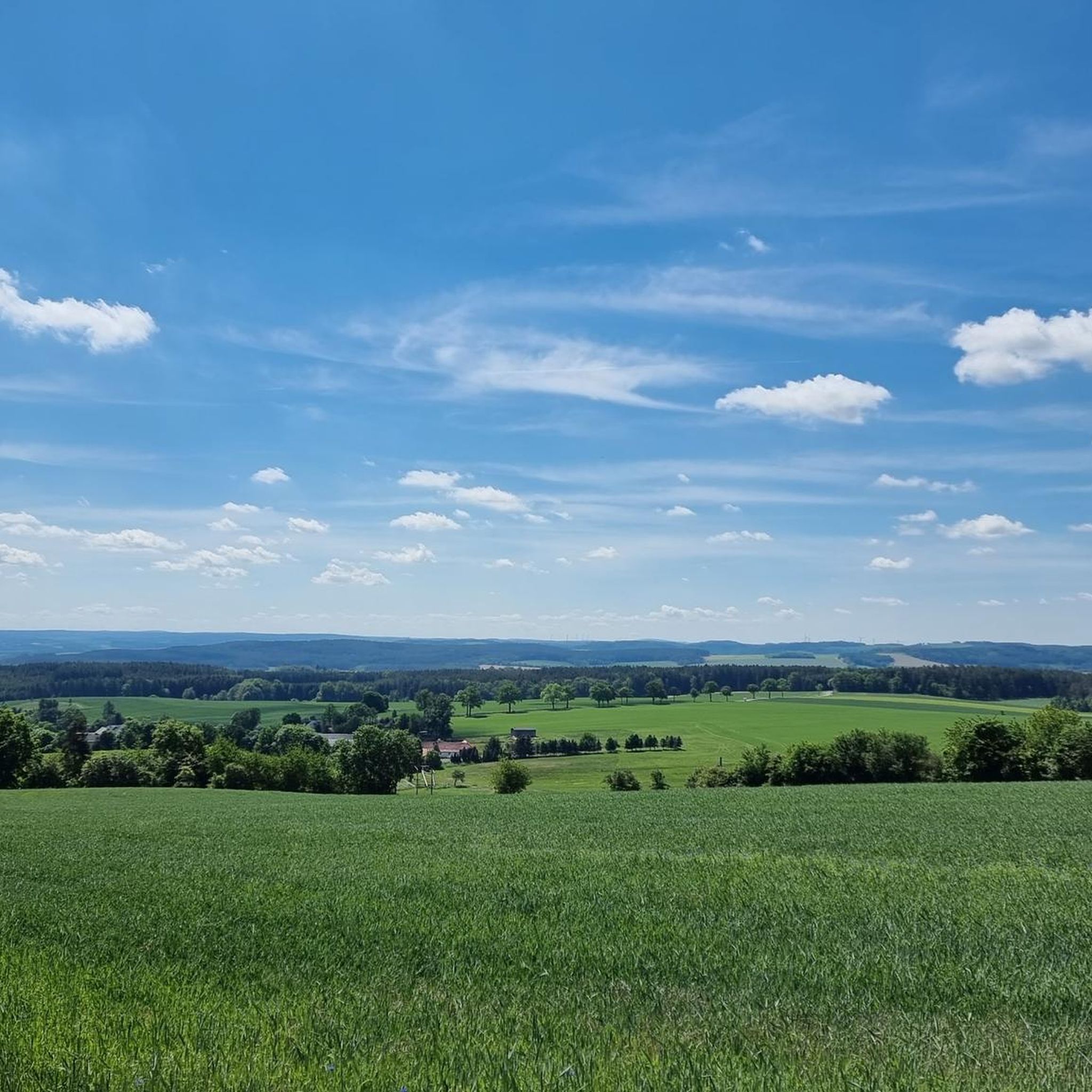
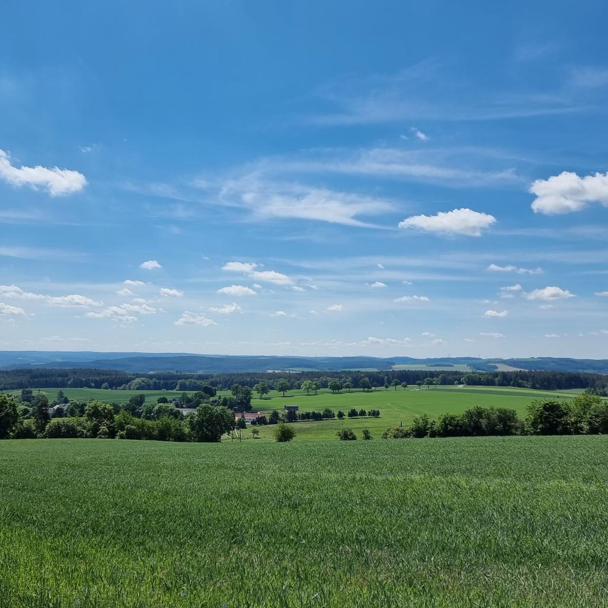
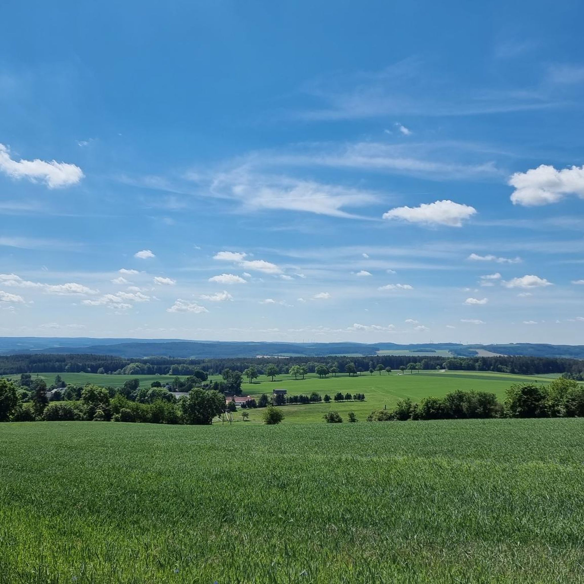
From here you have a great view of Lössau.
0
0

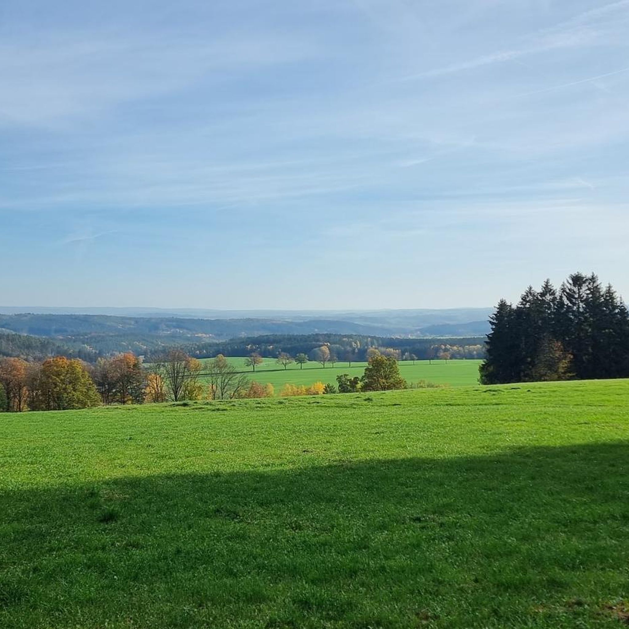
Take your time and drive a few meters further from the summit with the triangulation column to the edge of the forest. Here, you'll find a grassy patch with a wonderful view and plenty of peace and quiet ☺️
0
0
Station 153 of the Royal Saxon Triangulation is located on the Kemmler hill. "The Royal Saxon Triangulation (here referred to by its historical name) is a land survey conducted between 1862 and 1890 in the territory of the Kingdom of Saxony, which also involved the creation of a trigonometric network. The aim was to map the territory with scientific and geodetic precision and, by establishing permanently marked control points, to create the basis for the production of accurate maps." - https://de.wikipedia.org/wiki/K%C3%B6niglich-S%C3%A4chsische_Triangulirung The triangulation network created by August Nagel was considered one of the most accurate surveying networks in the world at the time. Nagel's columns are preserved today as technical monuments. This one stands behind the tower. ``` From the "Kemmlerberg" station, the stations targeted from north to south in a clockwise direction were Kuhberg, Wilhelmshöhe, Wendelstein, Lottengrün, Bergen, Platzerberg, Kandelstein, Stelzen and Syrau.
2
0

Beautifully situated in a large forest area. You can walk countless kilometers without crossing a road.
0
1

Rubber boots or sturdy shoes!
0
1

A nice place has been designed here with a lot of love. You can find everything you need for the hike, from the summit book, to paving stones or a schnapps.
1
0

There is a rest area on the Königsberg and there is even a summit book.
3
0

This triangulation column. Order No. 155 was built in 1876 from Rochlitz porphyry. It has a height of 2.30 m. The triangulation network (triangle network) of the Kingdom of Saxony represented the most accurate Central European land survey for its time. The inscription on the column reads: Station Sandberg of the Royal Saxons. Triangulation 1876 The pillar marks the altitude reference point 543.4 m above sea level and was also used as a signal point during maneuvers by the imperial general staff. Signals were transmitted to other stations using large special mirrors. Around the years 1962/1963 the TECHNICAL MONUMENT was negligently destroyed. Four of the original five fragments were secured in 1994 and on June 20, 1998 the restored column and the explanation board were handed over to the public again. https://de.m.wikipedia.org/wiki/K%C3%B6niglich-S%C3%A4chsische_Triangulirung
4
0
Frequently Asked Questions
What are some of the most popular mountain peaks and viewpoints around Rosenbach/Vogtland?
Among the most popular spots are the Rosenbühl Summit and Shelter, known as the highest elevation in the old Schleiz district, offering a shelter and summit book. Another favorite is the Bismarck Tower on the Kemmler, which provides panoramic views of Plauen and the surrounding area. The Königsberg Summit Rest Area and Summit Book also offers a great view of Lössau and a dedicated rest area.
What kind of terrain and elevation can I expect when hiking around Rosenbach/Vogtland?
The region around Rosenbach/Vogtland is characterized by a predominantly hilly landscape, not towering alpine peaks. The municipality itself sits at an elevation of around 487 to 519 meters (approximately 1,598 to 1,703 feet). However, local hiking routes can feature significant elevation changes, with some trails offering gains of up to 3,000 feet, providing varied and rewarding experiences through natural forests, mountain meadows, and idyllic valleys.
Are there family-friendly hiking options among the peaks and viewpoints?
Yes, several spots are suitable for families. The Rosenbühl Summit and Shelter is considered family-friendly, offering a place to rest. Additionally, the View from Sandberg is noted as a nice tour for Sunday excursions through the Thuringian Vogtland, providing a peaceful grassy patch with wonderful views.
What natural features and unique attractions can I discover in the area?
Beyond the scenic viewpoints, the region is rich in natural beauty, featuring green mountain meadows, natural forests, and idyllic valleys. A unique natural attraction nearby is the Drachenhöhle Syrau (Dragon's Cave Syrau), Saxony's only show cave, which offers a distinctive underground experience with stalactites and lakes. The surrounding Höhlenpark (Cave Park) also provides pleasant areas for exploration.
What historical sites or landmarks are there to visit on these elevated points?
The Bismarck Tower on the Kemmler is a significant man-made monument offering historical context and panoramic views. Another notable historical landmark is the Sandberg Triangulation Pillar, built in 1876, which marked an altitude reference point and was part of the accurate Central European land survey of its time.
What outdoor activities can I do near the mountain peaks around Rosenbach/Vogtland?
The diverse landscape around Rosenbach/Vogtland supports various outdoor activities. You can find numerous hiking trails, from easy to more challenging routes. There are also options for gravel biking and road cycling. For example, you can explore routes like 'Seven Ways Junction – Dragon Snack Stand loop from Syrau' for easy hikes or 'From Reuth via Saalburg and Schleiz' for more difficult gravel biking. You can find more details on these activities in the Easy hikes around Rosenbach/Vogtland, Gravel biking around Rosenbach/Vogtland, and Road Cycling Routes around Rosenbach/Vogtland guides.
Are there specific hiking trails near these mountain peaks?
Yes, the region offers a variety of hiking trails. For easy walks, consider routes like the 'Seven Ways Junction – Dragon Snack Stand loop from Syrau' or the 'View of Syrau and Plauen – Syrau-Kauschwitz Heath loop from Syrau'. These trails allow you to experience the 'green tones' of the Vogtland. More hiking options can be found in the Easy hikes around Rosenbach/Vogtland guide.
When is the best time of year to visit the peaks and viewpoints in Rosenbach/Vogtland?
The region is beautiful throughout the warmer months, offering lush green landscapes in spring and summer, and vibrant colors in autumn. The hiking trails are generally accessible during these seasons. While winter hiking is possible, some paths might be covered in snow or ice, requiring appropriate gear. The Drachenhöhle Syrau, as an indoor attraction, can be visited year-round.
What do visitors enjoy most about the mountain peaks and viewpoints in Rosenbach/Vogtland?
Visitors particularly appreciate the panoramic views and the tranquility of the unspoiled nature. The Bismarck Tower on the Kemmler is praised for its fabulous all-round view. The Rosenbühl Summit and Shelter is valued for its refuge and summit book, creating a sense of community among hikers. The peacefulness and the opportunity to immerse oneself in the natural beauty of the Vogtland are frequently highlighted.
Are there facilities like rest areas or shelters available on the peaks?
Yes, some elevated points offer facilities for hikers. The Rosenbühl Summit and Shelter features a shelter, benches, and tables, along with a summit book. Similarly, the Königsberg Summit Rest Area and Summit Book provides a dedicated rest area and a summit book for visitors.
Can I find circular walks around the mountain peaks in Rosenbach/Vogtland?
While specific circular walks directly around every single peak are not explicitly detailed, the broader Vogtland Panorama Trail, which has sections accessible from Rosenbach/Vogtland, is known for its diverse landscapes and panoramic views, suggesting many opportunities for circular routes. The nearby routes for hiking, gravel biking, and road cycling also include various loops, such as the 'Seven Ways Junction – Dragon Snack Stand loop from Syrau' for hiking, indicating that circular options are common in the region.
Are the trails around Rosenbach/Vogtland suitable for beginners?
Yes, the region offers trails suitable for various fitness levels, including beginners. There are many easy paths that allow you to enjoy the scenery without significant challenge. For instance, the 'Easy hikes around Rosenbach/Vogtland' guide features routes like the 'View of Syrau and Plauen – Syrau-Kauschwitz Heath loop from Syrau' which is an easy, shorter option perfect for those new to hiking or looking for a relaxed outing.
Most popular routes around Rosenbach/Vogtland
Most popular attractions around Rosenbach/Vogtland

Get inspired with the komoot mobile app


Explore more
See even more amazing summits around Rosenbach/Vogtland with these guides:
