The 4 Most Amazing Peaks around Hirschthal
Mountain peaks around Hirschthal are characterized by rolling hills and forested elevations within the mid-Suhr valley in the Swiss canton of Aargau. The municipality itself lies at an elevation of approximately 442 to 446 meters. While not featuring major alpine peaks, the area includes notable hills such as Hochwacht, which reaches 653 meters above sea level, Egg at 592 meters, and Gschneit at 598 meters. These elevations contribute to the local landscape, offering varied terrain for outdoor activities.
Best mountain…
Last updated: June 30, 2026
Siebenzwingstein Boundary Stone
Highlight • Monument
The border …
Showing Translation
Tip by

Highest point
Highlight • Summit
Translated by Google •
Tip by

Sign up now to discover places like this
Get recommendations on the best single tracks, peaks, & plenty of other exciting outdoor places.
Sign up for free
Aarau Bahnhofplatz, Canton of Aargau
Highlight • Rest Area
Translated by Google •
Tip by

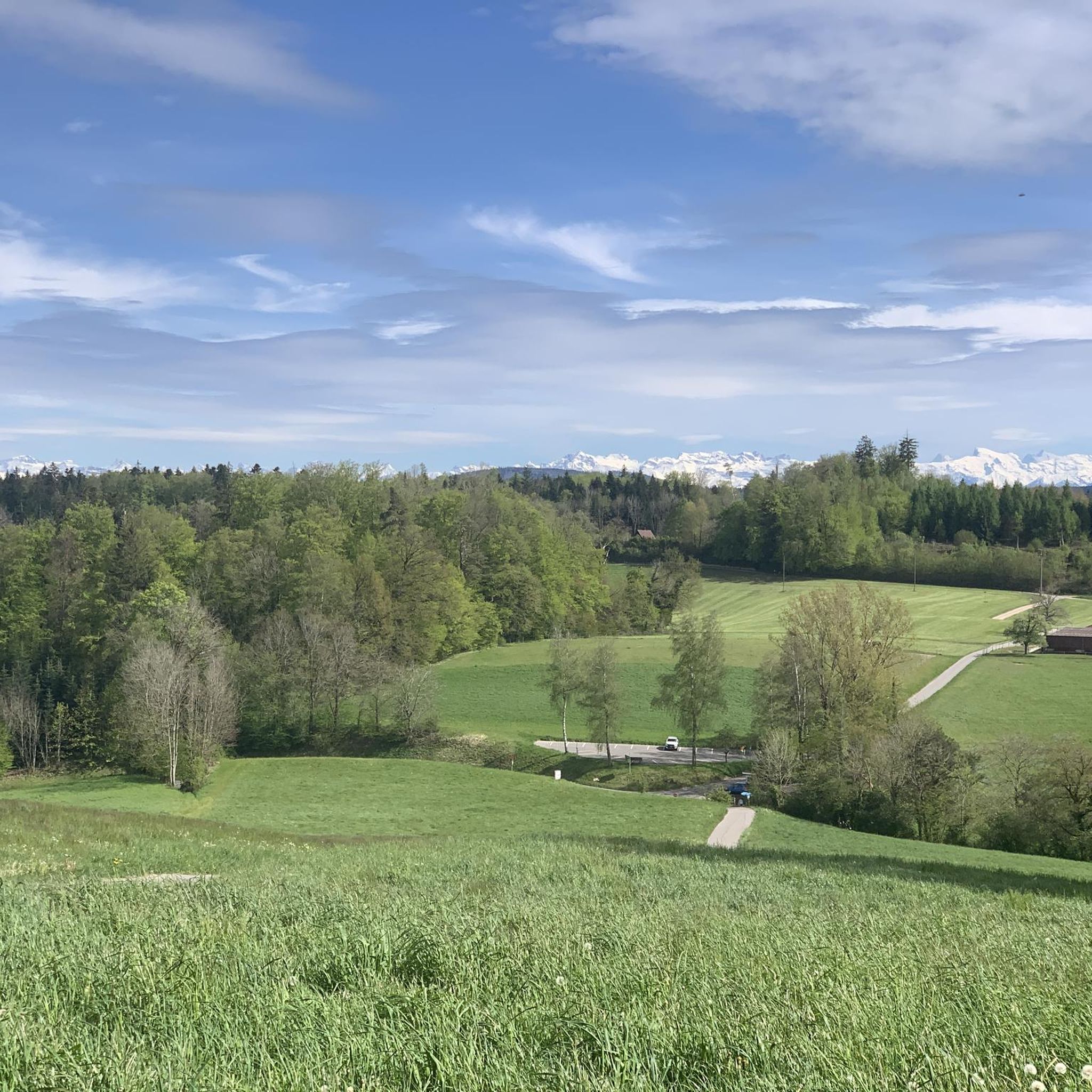
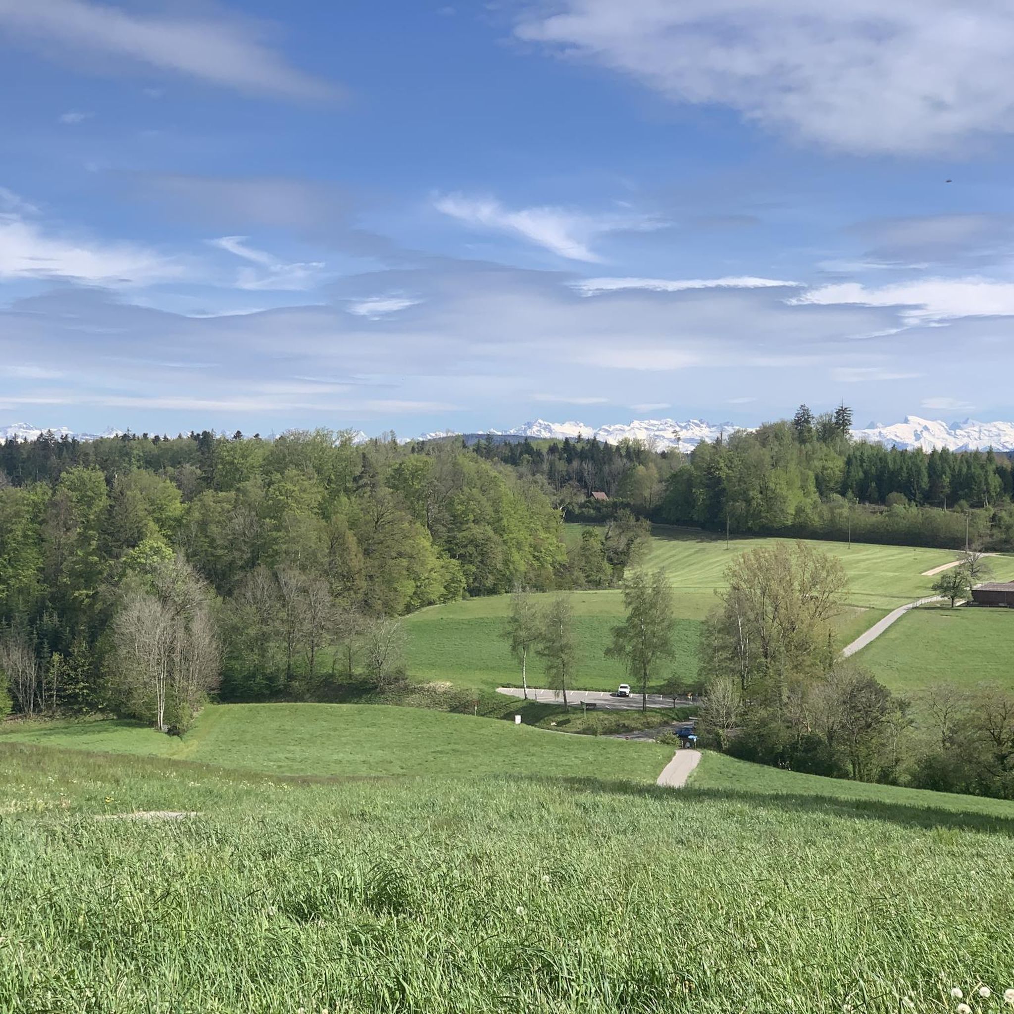
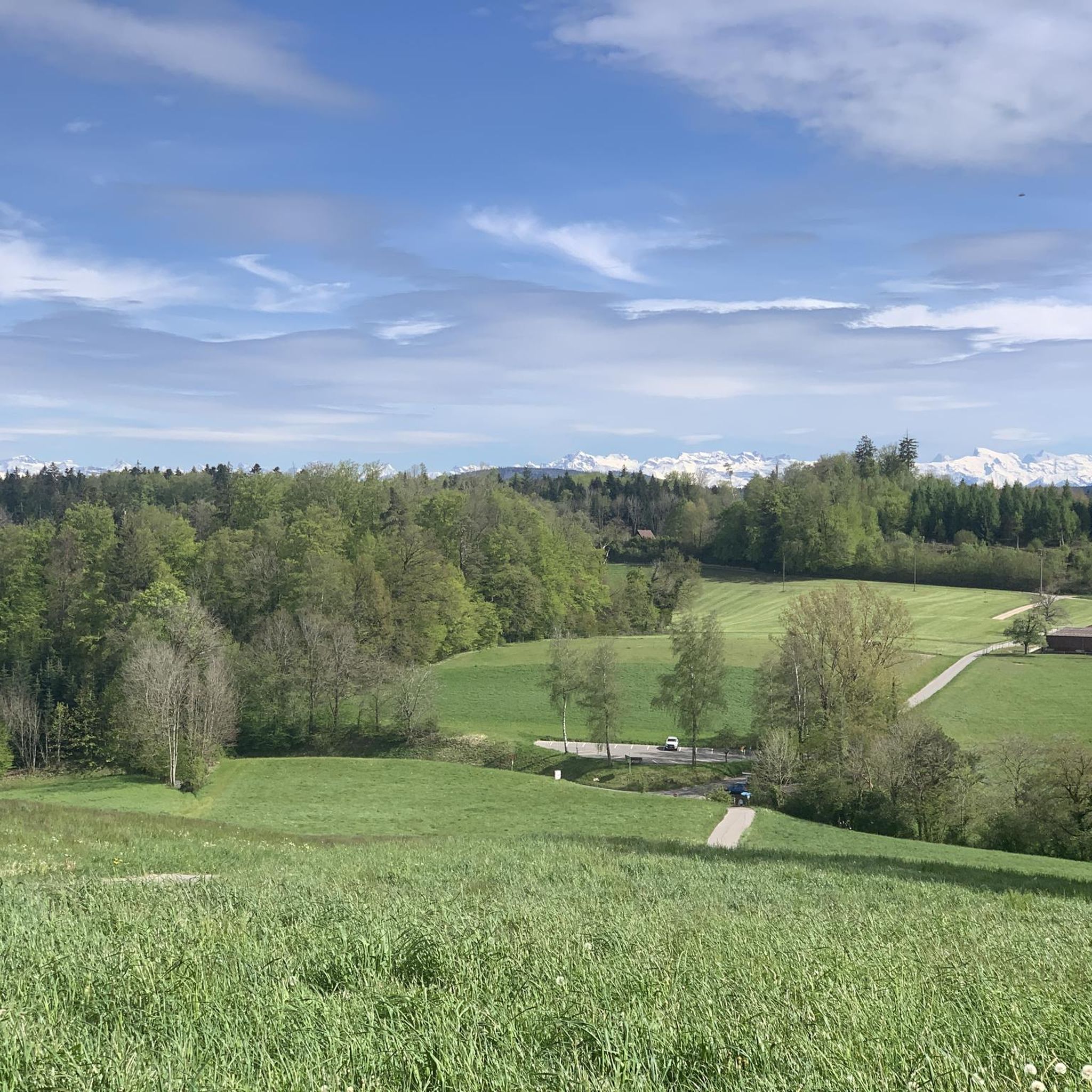
View of Lake Hallwil and the Alps Near Birrwil
Highlight • Viewpoint
Translated by Google •
Tip by

Start today with a free account
Your next adventure awaits.
Login or Signup
Tips from the Community

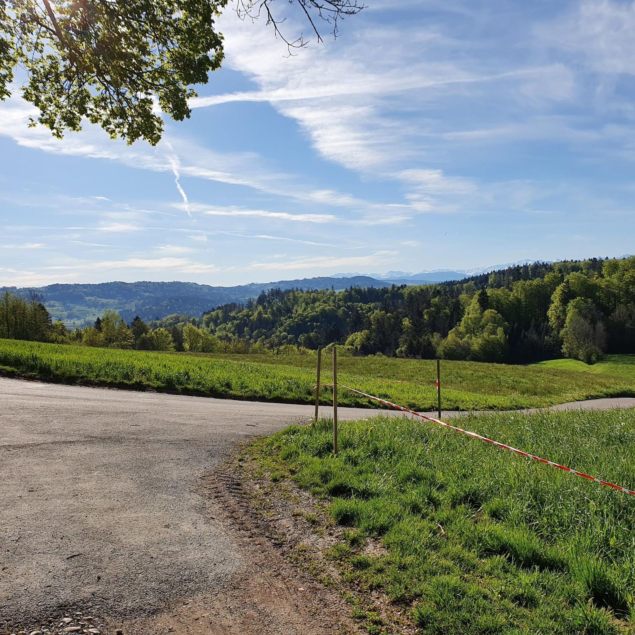
The lake is called Hallwilersee and lies in the valley. From the cycling route, you have a good view of this lake, further south the Baldeggersee, and even further on the horizon the Alps.
0
0

Near the village of Birrwil, you will be greeted by a delightful mix of serene lake views and majestic alpine scenery that will leave you speechless. Lake Birrwil sparkles at your side while the snow-capped Alps rise dramatically in the distance.
1
0


The Siebenzwingstein is a boundary stone. You can find the exact meaning on Wikipedia. https://de.wikipedia.org/wiki/Siebenzwingstein?wprov=sfla1 If you just whiz by, you'll hardly see it, as it lies a few meters above the road.
1
0

Is hidden just before the paths cross.
1
0

Great stone but be careful not to miss it!!
1
0


Frequently Asked Questions
What kind of mountain peaks can I expect around Hirschthal?
The landscape around Hirschthal is characterized by rolling hills and forested elevations rather than dramatic alpine peaks. Notable hills include Hochwacht at 653 meters, Egg at 592 meters, and Gschneit at 598 meters above sea level. These offer varied terrain for outdoor activities within the mid-Suhr valley.
Are there any prominent viewpoints among the peaks near Hirschthal?
Yes, one of the most popular viewpoints is View of Lake Hallwil and the Alps Near Birrwil. This spot offers a delightful mix of serene lake views and majestic distant alpine scenery.
What is the highest point I can reach on a trail around Hirschthal?
The highlight named Highest point marks the highest elevation along the challenging Wandfluhtrail, offering a rewarding summit experience.
Are there any historical or cultural sites among the peaks?
Yes, the Siebenzwingstein Boundary Stone is a significant man-made monument. This border point, marked by interlocked granite blocks at 607 meters above sea level, historically defined the boundaries of seven municipalities or administrative districts in the canton of Aargau.
Are there family-friendly options for exploring the peaks around Hirschthal?
Yes, the View of Lake Hallwil and the Alps Near Birrwil is categorized as family-friendly, offering accessible views of the lake and distant mountains.
What outdoor activities can I do near the peaks around Hirschthal?
The region offers a variety of outdoor activities. You can find numerous running trails, explore the area with gravel biking routes, or tackle the MTB trails around Hirschthal.
Are there challenging hikes available in the Hirschthal region?
Yes, for those seeking a challenge, the trail leading to the Highest point is described as challenging and is part of the Wandfluhtrail.
What do visitors enjoy most about the peaks around Hirschthal?
Visitors appreciate the diverse views, such as the mix of lake and alpine scenery from the View of Lake Hallwil and the Alps Near Birrwil. The unique historical significance of sites like the Siebenzwingstein Boundary Stone also draws interest, as do the cool and engaging trails like the Wandfluhtrail.
Can I find trails suitable for running near Hirschthal's peaks?
Absolutely. There are several running trails around Hirschthal, including moderate loops from Obermuhen and Schöftland Nordweg, and even a challenging section loop from Holziken.
Are there options for mountain biking around Hirschthal?
Yes, the region offers a variety of MTB trails around Hirschthal. You can find moderate routes like the 'View of the Ruedertal – Short Forest Trail' or 'Path along the Suhre – Holy Cross Chapel Wellnau' loops, both starting from Hirschthal.
What is the best season for hiking the hills around Hirschthal?
The forested hills around Hirschthal are generally pleasant for hiking from spring through autumn. Spring offers lush greenery, summer provides warm weather for longer excursions, and autumn showcases beautiful foliage. Winter hiking is also possible, though conditions may vary, especially on steeper sections.
Are there any specific trails for gravel biking in the area?
Yes, you can find dedicated gravel biking routes around Hirschthal. Options range from moderate to difficult, such as the 'Rütihof Trail – View of Gränichen loop' from Obermuhen or the 'Zofingen Forest Trail – View of the Alps from Aargau loop' from Muhen.
Most popular routes around Hirschthal
Most popular attractions around Hirschthal

Get inspired with the komoot mobile app


Explore more
See even more amazing summits around Hirschthal with these guides:
