The 4 Most Amazing Peaks around Suldal
Best mountain peaks around Suldal are found within a diverse landscape of towering mountains and deep fjords. Suldal, located along the Norwegian Scenic Route Ryfylke, is home to several of Rogaland county's highest peaks, including Vassdalseggi at 1658 meters above sea level. The region offers varied terrain for hiking, from challenging high-altitude climbs to routes with panoramic fjord views. These mountains are part of the larger Setesdal Vesthei and Ryfylkeheiane mountain area.
Best mountain peaks around Suldal
- The most popular…
Last updated: July 2, 2026
Hellandsnuten
Highlight • Summit
Tip by

Kista Summit
Highlight • Summit
Tip by

Sign up now to discover places like this
Get recommendations on the best single tracks, peaks, & plenty of other exciting outdoor places.
Sign up for free
Panoramic View of Haukelifjell
Highlight • Viewpoint
Tip by

View of the fjords below Hellandsnuten
Highlight • Viewpoint
Translated by Google •
Tip by

View from Stolanuten
Highlight • Summit
Translated by Google •
Tip by

Sign up for free to discover even more peaks around Suldal.
Sign up for free
Already have an account?
Start today with a free account
Your next adventure awaits.
Login or Signup
Other adventures around Suldal

Tips from the Community

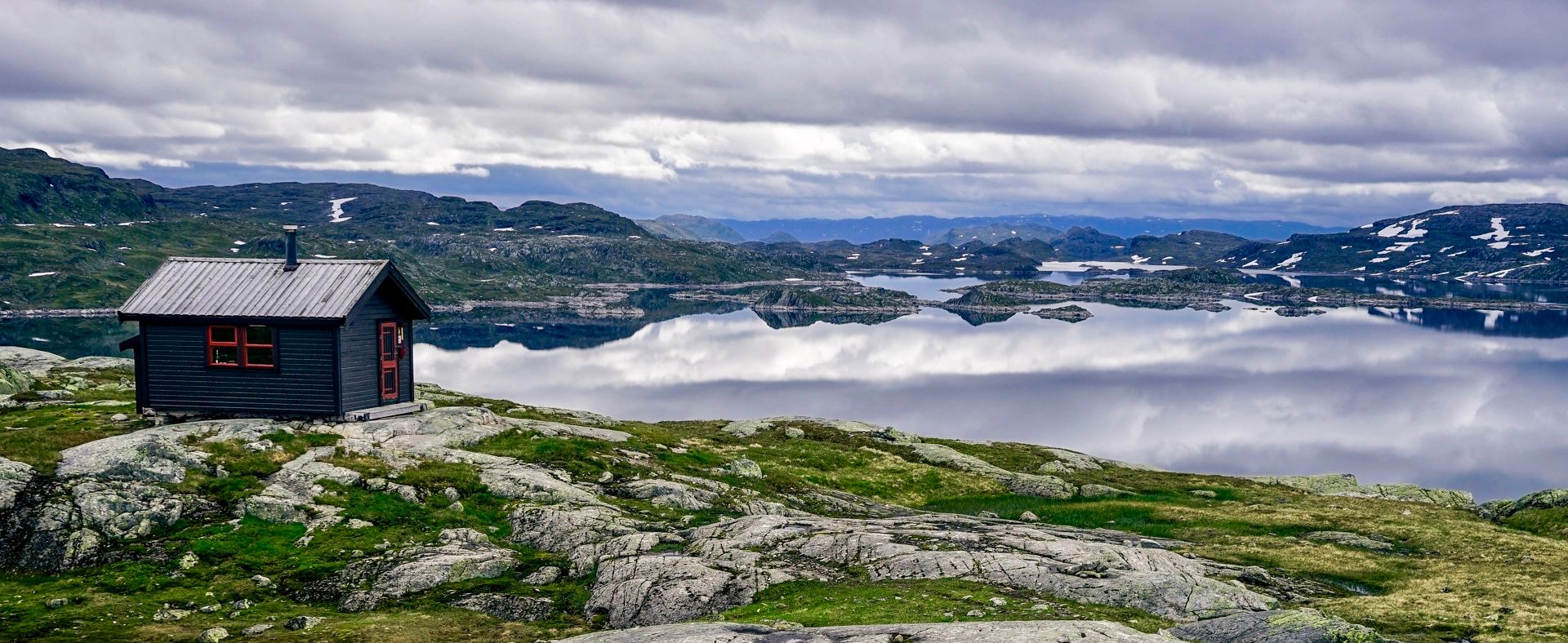
Sitting at 990 meters, this high-altitude spot reveals a vast, rugged alpine tundra. You are greeted by a beautiful landscape of exposed bedrock, low mossy vegetation, and small glacial streams cutting through the terrain. The view ahead is breathtaking, featuring sweeping high-mountain pastures where sheep often graze, backed by massive, weather-worn peaks streaked with summer snow. It is a nice, wild place to pause, feel the crisp mountain air, and take in the sheer scale of the highlands.
0
0

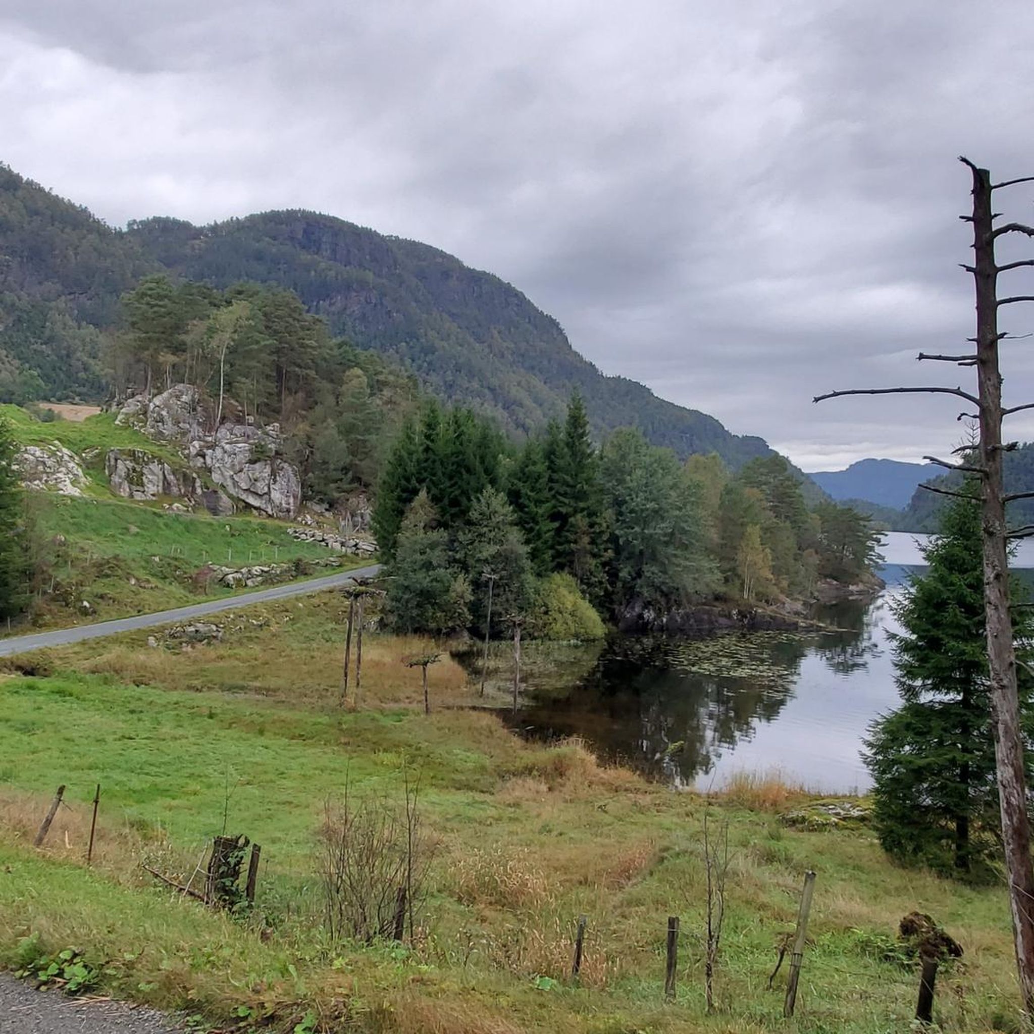
This peak is accessible via an easy hike through varied terrain. It stands majestically in the heart of a magnificent landscape that stretches 360 degrees into the distance. From the summit, you can enjoy breathtaking views of lakes, lush green hills, and the more rugged, jagged mountains in the distance.
0
0

I can only agree with the others. Difficult hike, very muddy and the rocks are very slippery. The way up (I took the short route marked with a dashed line) is very steep and you have to be really careful. I didn't want to take the same route back down, so I carried on hoping that the other route wouldn't be as steep, but it wasn't easy either. I actually lost my way once, but found it again quickly. I can't imagine doing this trail in bad weather, as you're walking over rocks a lot. I did the trail on a Wednesday at the beginning of September and didn't meet a single person. It took me about 5 hours without any long breaks. The view was great though, and in my opinion it was still worth it; you just have to be careful.
0
0

We did the hike at the beginning of June. Unfortunately, it had rained heavily in the days leading up to it, making the trail difficult to find in places, and trees and rocks had slipped and blocked the path. Not recommended on rainy days if you want to keep your feet dry.
0
0

You should definitely not be afraid of heights to enjoy the great view! Afterwards you can also immortalize yourself in the summit book
0
0

The hardest hike I've ever done. The paths cannot in any way be compared with those from Germany. Most of the time you spend minutes looking for the red markings. Nevertheless, the view at the top is simply breathtaking, so the climb is definitely worth it. Highly Recommended. However, it should be noted: - experienced hikers - the tour should start at 11 at the latest - Sure-footed, waterproof shoes (even if it hasn't rained for days in summer, everything is wet and muddy) are required - the paths are overgrown, muddy or very steep and actually dangerous...even for more experienced hikers
0
1

Frequently Asked Questions
What are some of the most rewarding mountain peaks to hike in Suldal?
Suldal offers several rewarding peaks. For breathtaking panoramic views of five fjords, consider the challenging hike to Hellandsnuten. If you're looking for an intermediate hike with 360-degree views of lakes, hills, and distant mountains, Kista Summit is an excellent choice. Another great option is Grytenuten Summit, which provides expansive views over the Ryfylke fjords, stretching all the way to the Folgefonna glacier.
Are there any family-friendly mountain hikes in Suldal?
Yes, Onglanuten is described as a great hike for the whole family, offering a refreshing stop by the Perskårfossen waterfall. While the guide highlights focus on more challenging peaks, Suldal generally offers diverse terrain, and you can find more options for various skill levels, including easier trails, by exploring the region further.
What is the best time of year to hike the mountain peaks in Suldal?
The hiking season for many peaks in Suldal, such as Hellandsnuten and Nipe, typically runs from May to October. During this period, conditions are generally more favorable, with less snow and milder temperatures. However, always check local weather conditions before heading out, as mountain weather can change rapidly.
What are the highest mountain peaks in the Suldal region?
Suldal is home to some of Rogaland county's highest peaks. Vassdalseggi is the highest in Rogaland at 1658.2 meters above sea level. Other impressive high-altitude peaks in the area include Snønuten (1604 meters) and Mælen (1574 meters).
What kind of views can I expect from the mountain peaks in Suldal?
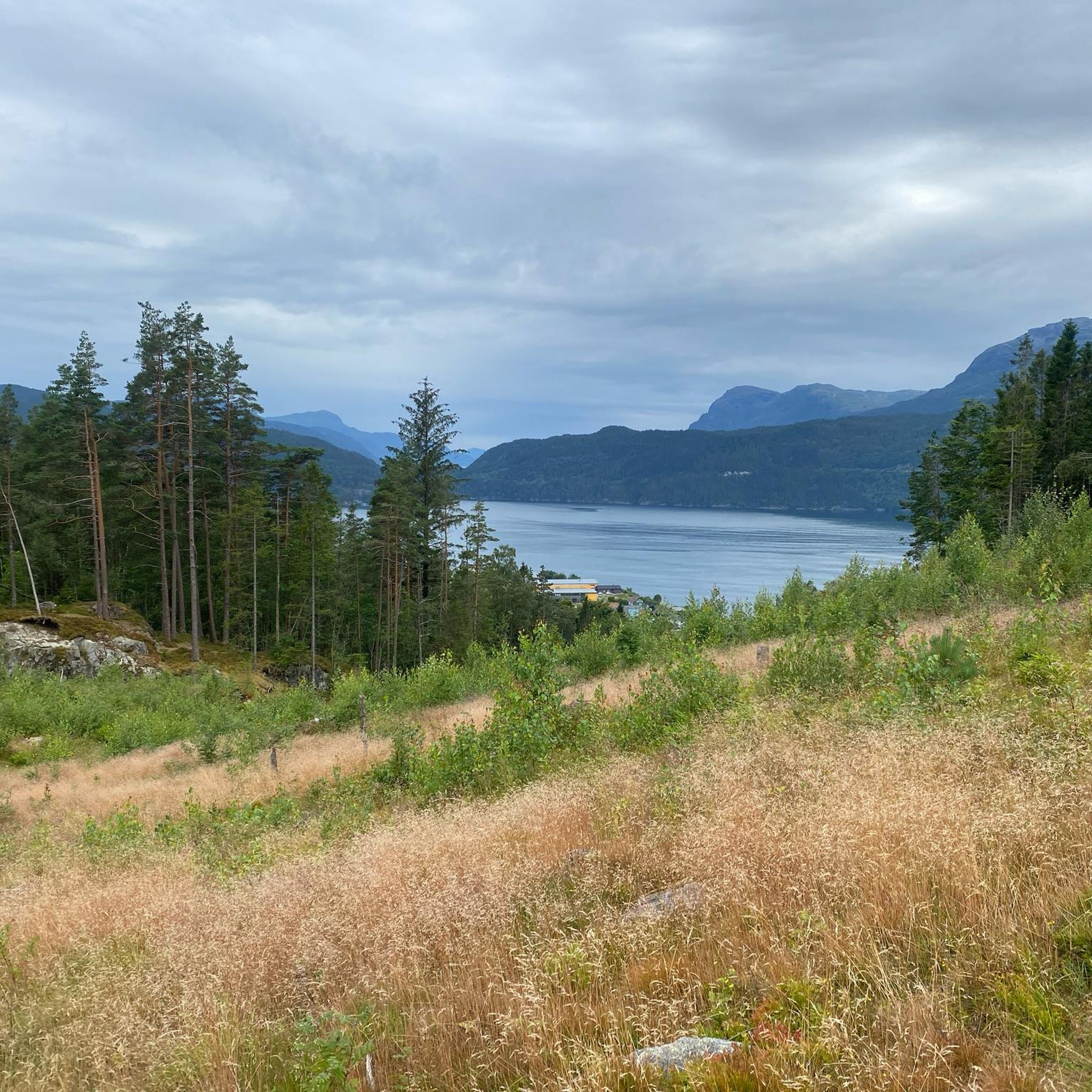
The mountain peaks in Suldal offer diverse and spectacular views. From Hellandsnuten, you can see five different fjords: Sandsfjorden, Hylsfjorden, Saudafjorden, Vindafjorden, and Lovrafjorden. Kista Summit provides 360-degree vistas of lakes, lush green hills, and rugged mountains. From Nipe, you'll get fantastic views of Nesflaten and Suldalsvatnet lake, while Grytenuten offers views stretching all the way to the Folgefonna glacier.
Are there any challenging hikes for experienced mountaineers?
Absolutely. Peaks like Hellandsnuten are described as very demanding, requiring sure-footedness and good footwear due to steep, muddy, and slippery terrain. The hike to Nipe is also considered demanding due to its steep and challenging terrain. For those not afraid of heights, the View from Stolanuten offers a challenging climb with a rewarding vista.
What outdoor activities can I combine with visiting these mountain peaks?
Beyond hiking, Suldal offers a range of outdoor activities. You can find various hiking routes, including moderate options like Fiskeberg Roundtrip or the Grytenuten Summit from Kjolvikstolen. For cyclists, there are several cycling routes, from moderate to difficult. Running enthusiasts can explore running trails like the Kista Summit loop. The high mountain areas, such as around Napen, are also popular for fishing in the many lakes.
Are there any specific tips for hiking in Suldal's mountains?
Hikers often recommend being well-prepared. For challenging trails like Hellandsnuten, experienced hikers suggest starting early (by 11 AM at the latest), wearing sure-footed, waterproof shoes, and being prepared for overgrown, muddy, or steep paths. Always look for the red trail markings, as paths can sometimes be difficult to find. It's also important to tread carefully, especially in areas vital for wild reindeer, as Suldal is part of a region with a viable wild reindeer population.
Where can I find accommodation or cabins near the mountain trails?
The Stavanger Tourist Association manages a network of trails and cabins in the Suldalsheiane and Setesdal Vesthei and Ryfylkeheiane mountain area. Notable cabins include Bleskestadmoen (the oldest), the award-winning Jonstøl cabin, and the popular Stranddalshytta, often called the 'Pearl of Ryfylkeheiane.' You can find more information about these and other facilities through local tourist resources like visitsuldal.com.
What is the 'Nutfant' competition in Suldal?
The 'Nutfant' competition is a local challenge where Suldal residents aim to reach six selected mountain peaks within a year. It's a great way to explore the region's mountains and engage with the local outdoor community.
Are there any specific considerations for winter activities on Suldal's peaks?
While many peaks are primarily summer hiking destinations, some, like Natlandsnuten (965 masl), are highlighted as suitable for experienced skiers on a white piste, with a tour duration of 4-5 hours. If planning winter activities, ensure you have appropriate gear, experience, and check local conditions and avalanche warnings. You can find information on marked ski trails in Suldal via Visit Norway.
Most popular routes around Suldal
Most popular attractions around Suldal

Get inspired with the komoot mobile app


Explore more
See even more amazing summits around Suldal with these guides:
