The best walks and hikes in Fillmore County
5.0
(1)
48
hikers
9
hikes
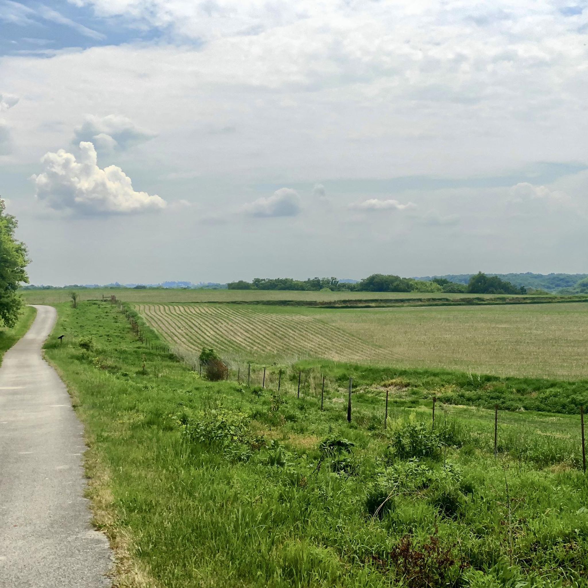
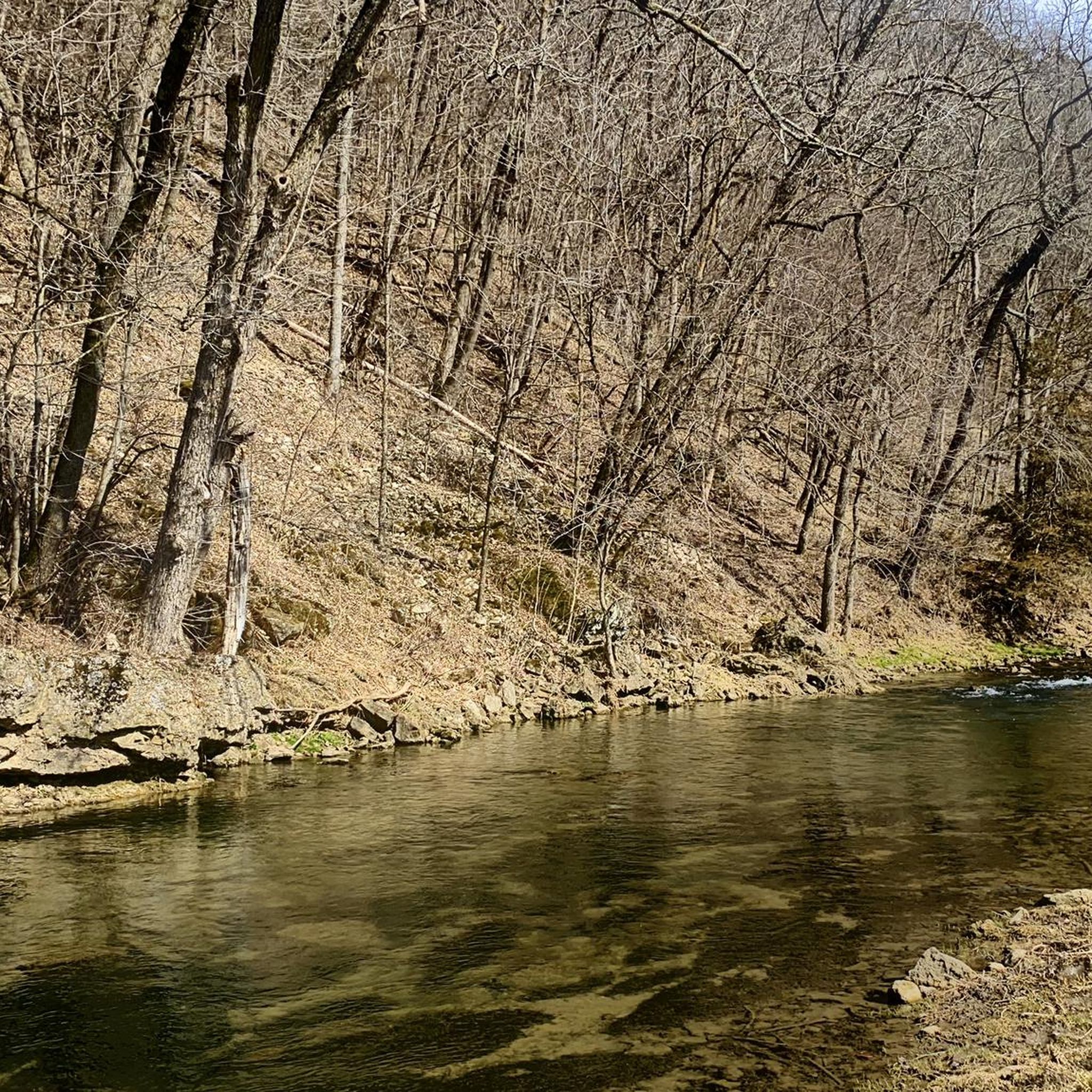
Hiking in Fillmore County offers access to the unique "Driftless Area" of southeastern Minnesota, a region untouched by glaciers. This landscape features steep hills, deeply carved river valleys, and prominent limestone bluffs reaching up to 300 feet high. The county is characterized by dramatic karst topography, including sinkholes and spring-fed streams, providing varied hiking environments.
Best hiking trails in Fillmore County
- The most popular hiking route is Root River State Trail: Preston to Lanesboro, an 11.7 miles (18.8 km)…
Last updated: October 24, 2026
2
hikers
8.80km
02:15
40m
30m
Embark on a delightful journey along the Root River State Trail: Whalan to Lanesboro, a moderate hiking route that offers stunning views without demanding too much effort. This 5.5-mile (8.8…
18.8km
04:47
50m
80m

13.7km
03:30
40m
40m
7.77km
01:58
20m
10m
12
hikers
3.66km
00:59
50m
50m
Easy hike. Easily walkable paths.
8
hikers
Easy hike. Easily walkable paths.
7
hikers
2.82km
00:43
10m
10m
Easy hike. Easily walkable paths.
Get access to more routes and recommendations from other explorers.
Already have an account?
Our route recommendations are based on thousands of hikes, rides, and runs completed by other people on komoot.
Start today with a free account
Your next adventure awaits.
Popular around Fillmore County
Tips from the Community

Preston is a great town to start in, but it has taken me a few runs at it to find the right trail to go to Harmony. They have a better big map now, but a few signs right on the trail would be nice. The first time I did this section, I thought I found the right trail, but it was the one that eventually will goto Forestville State Park. Right now it goes around the edge of town then head into the farm fields and just ends.
2
0
Houston and Rushford both have created these rock name displays on their bluffs, very fun.
0
0
Still have yet to stop in here, but it was hopping on Thursday! Maybe next time I'll stop in so I can report on how the pizza or ice cream or other stuff is.
0
0
Angler's Parking lot is also used for doing the hike to the spring and other various hikes in the area by the campgrounds.
2
0
A great place to stop in and get a trail map, get your parking pass, etc. I had a great experience talking to the ranger about where would be great to hike here with a few hours. Would gladly visit with them again.
1
0
Peterson town theme is Gnomes, not sure why, but they have an awesome giant gnome next to their sign, right on the bike path!
1
0
RV Camping right off the bike trail, and a cute painted concession stand on the ballfields. Small playground.
0
0
Frequently Asked Questions
How many hiking trails are available in Fillmore County?
Komoot features 8 hiking routes in Fillmore County. These range from easy strolls to more moderate treks, offering diverse options for exploring the region's unique Driftless Area landscape.
What are the easiest hiking trails in Fillmore County?
For an easy hike, consider the Park Office loop from Forestville, which is just over 3.6 km. Another gentle option is the Hiking loop from Equestrian Campground, spanning about 2.8 km. Both are great for a relaxed outing.
Are there any moderate hiking trails in Fillmore County?
Yes, several routes offer a moderate challenge. The Root River State Trail: Whalan to Lanesboro is a popular moderate hike covering nearly 8.8 km. Another option is the Root River Trail: Peterson to Whalan, which stretches over 13.7 km along the scenic Root River.
What kind of natural features can I expect to see while hiking in Fillmore County?
Fillmore County is part of the unique Driftless Area, characterized by steep hills, deeply carved river valleys, and impressive limestone bluffs up to 300 feet high. You'll encounter spring-fed streams, karst topography with sinkholes, and diverse plant communities on bluff prairies. The Richard J. Dorer Memorial Hardwood State Forest offers a great example of the region's forested landscapes.
Are there any family-friendly hiking options in Fillmore County?
Many trails in Fillmore County are suitable for families. The paved Root River State Trail and Harmony-Preston Valley State Trail are generally level and accessible, making them ideal for all ages. Within Forestville/Mystery Cave State Park, shorter loops like the Root River Trailhead – Spring feeding the river loop from Park Kiosk are excellent for families.
Can I bring my dog on the hiking trails in Fillmore County?
Many state parks and trails in Minnesota, including those in Fillmore County, generally allow dogs on leashes. However, specific rules can vary by location, especially within state parks or sensitive natural areas. It's always best to check the regulations for the specific trail or park you plan to visit beforehand to ensure a pleasant experience for you and your pet.
What are some notable attractions or points of interest along the trails?
Along the trails, you can discover several interesting spots. The Preston Overlook offers scenic views. You can also find the Confluence of the South Branch with the Root River, a picturesque natural feature. The region is also known for its extensive cave systems like Mystery Cave and Niagara Cave, which offer unique geological experiences.
Is public transport available to reach hiking trailheads in Fillmore County?
Public transport options directly to hiking trailheads in rural Fillmore County are limited. Most visitors typically rely on personal vehicles to access the various state parks and trail access points. Parking is generally available at major trailheads like those for the Root River State Trail and within state parks.
What is the best time of year to go hiking in Fillmore County?
The spring, summer, and fall months offer excellent hiking conditions in Fillmore County. Spring brings lush greenery and blooming wildflowers, while summer is ideal for enjoying the river valleys. Autumn is particularly stunning with vibrant fall foliage. Winter hiking is also possible, especially on groomed trails like the Harmony-Preston Valley State Trail, but requires appropriate gear for colder conditions.
Are there any circular hiking routes in Fillmore County?
Yes, you can find circular routes, particularly within the state parks. For example, the Park Office loop from Forestville and the Root River Trailhead – Spring feeding the river loop from Park Kiosk are both convenient loop trails that allow you to start and end at the same point.
Where can I find parking for the Root River State Trail?
The Root River State Trail has multiple access points with parking available in towns along its route, such as Whalan, Lanesboro, Preston, Peterson, and Rushford. For instance, you can find parking near the Root River State Trail - Rushford section.
Most popular attractions in Fillmore County

Get inspired with the komoot mobile app


Explore more
Browse the best Hikes in other regions.
