The best gravel rides around Clayton
2.5
(2)
20
riders
2
rides
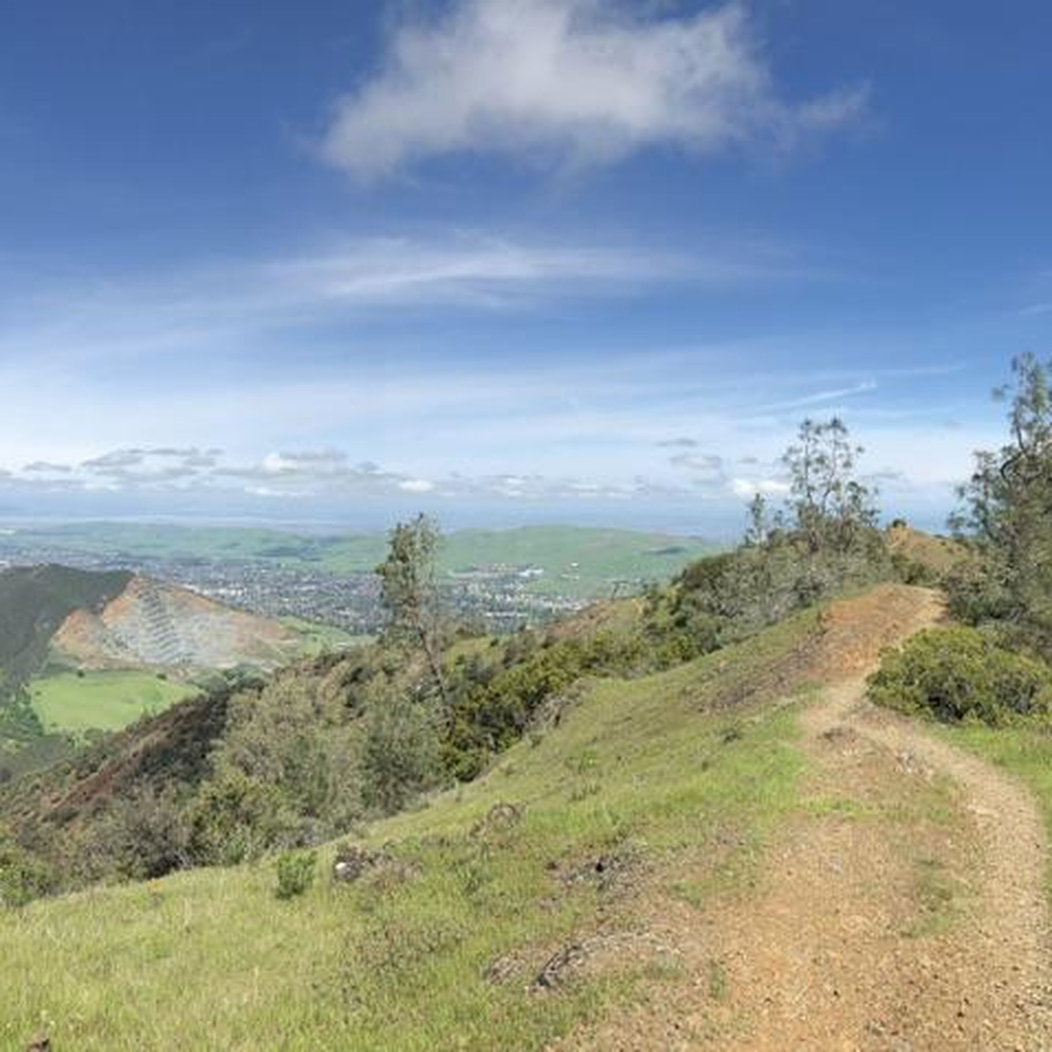
Gravel biking around Clayton is characterized by its mountainous terrain, including peaks that provide challenging elevation changes. The region features an extensive network of gravel roads, ranging from gentle paths to demanding routes with significant climbs. Riders can expect varied surfaces, including gravel, rocky sections, and loose dirt. Deep gorges and valleys contribute to the dramatic scenery, offering diverse riding experiences.
Best gravel bike trails around Clayton
- The most popular gravel bike trail is Heather Farm & Lake – Ygnacio…
Last updated: July 12, 2026
2.0
(1)
6
riders
Moderate gravel ride. Good fitness required. Mostly paved surfaces. Suitable for all skill levels.
Our route recommendations are based on thousands of hikes, rides, and runs completed by other people on komoot.
Start today with a free account
Your next adventure awaits.
Login or Signup
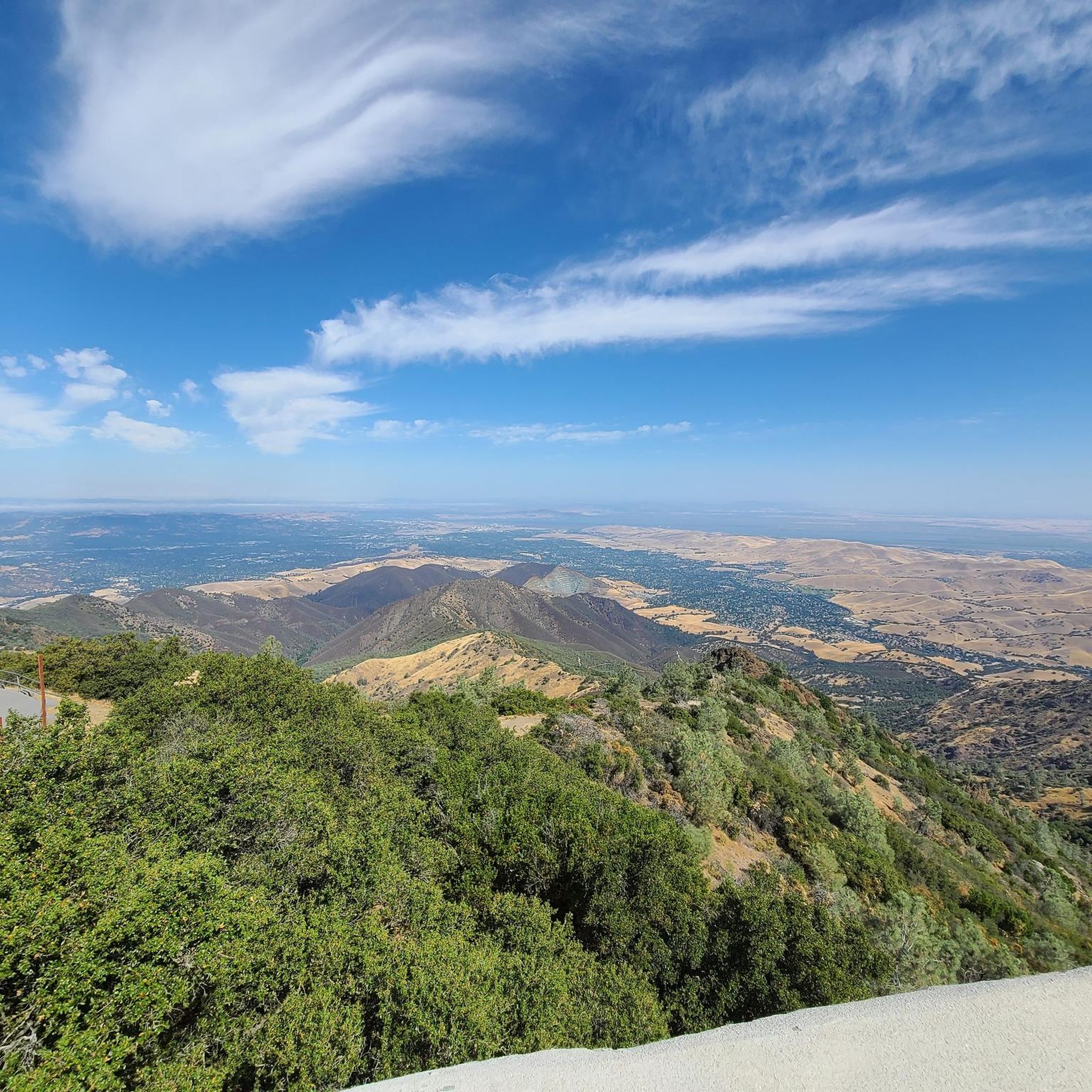
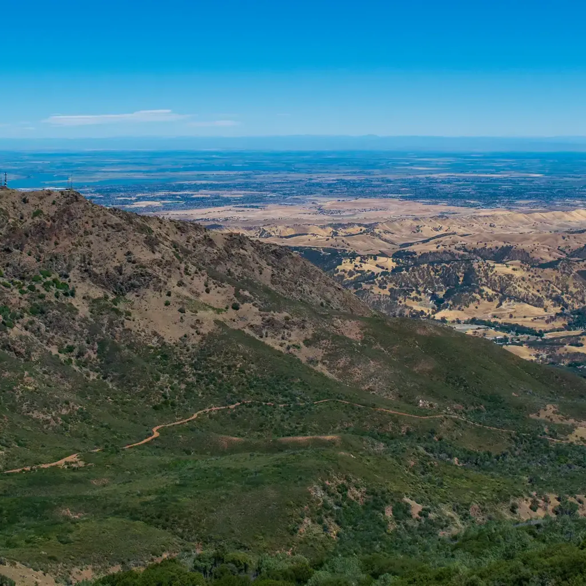
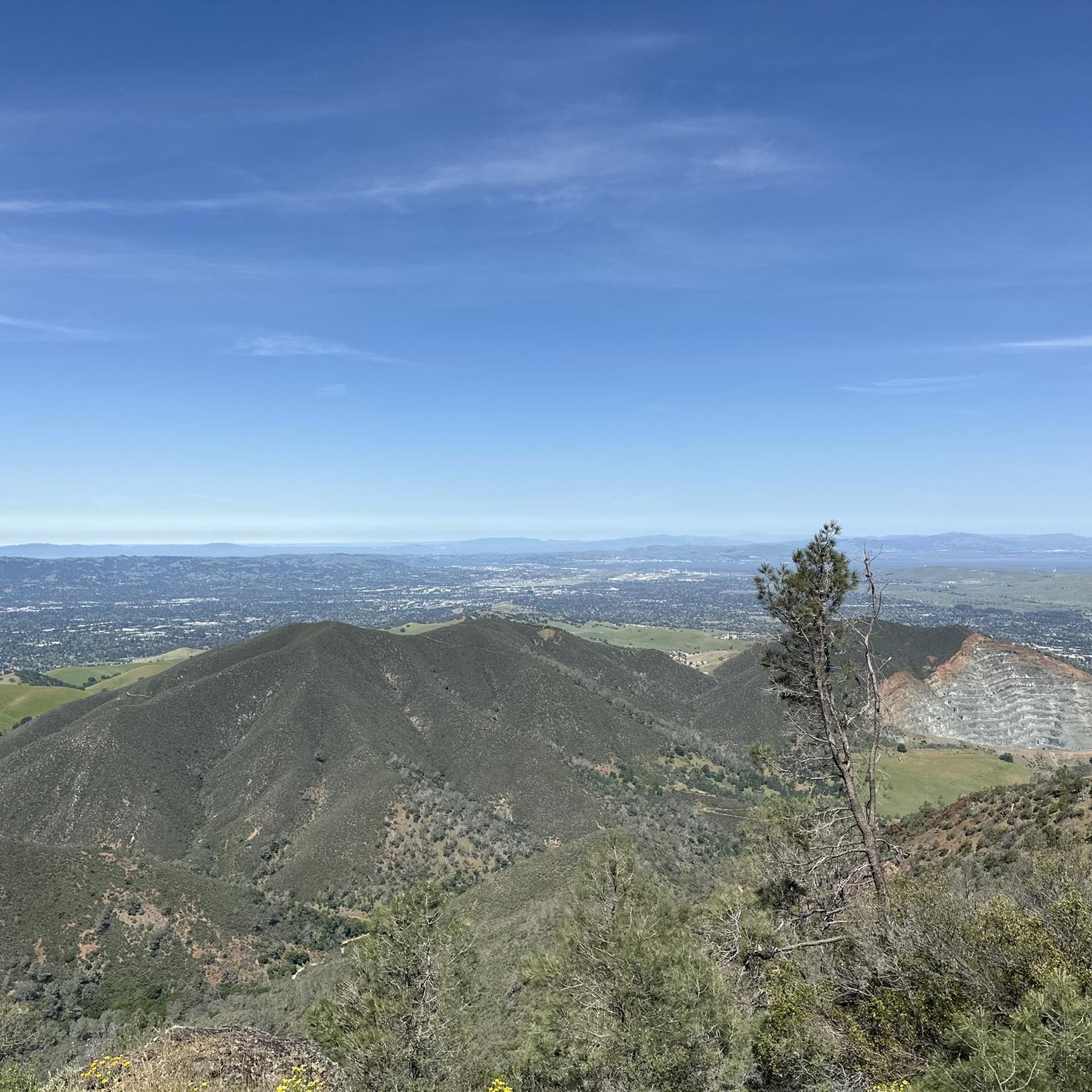
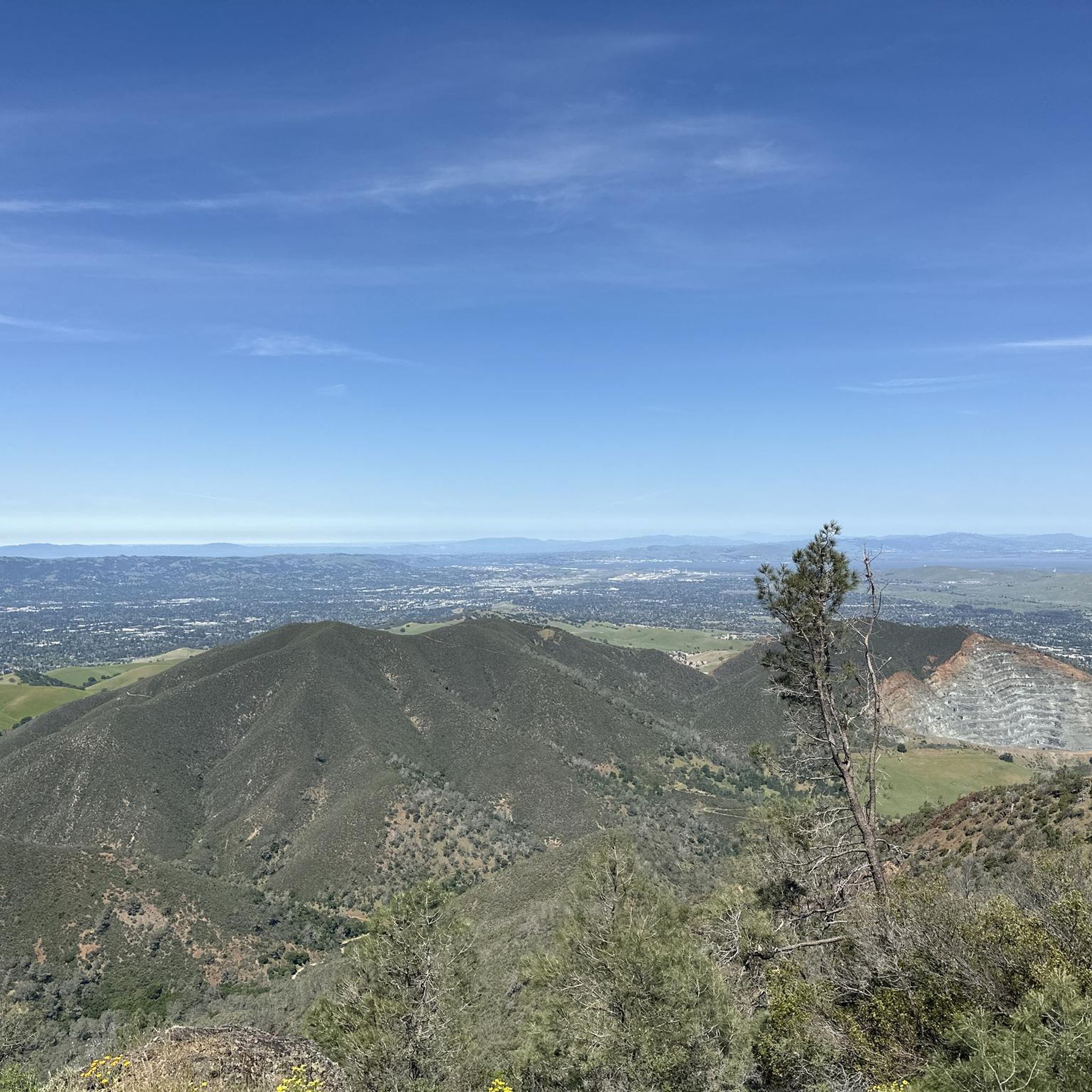
Tips from the Community

This trailhead begins at the Contra Costa Canal Trail junction. Most of the trail runs along the Ygnacio Canal, where you'll likely see plenty of ducks who inhabit the area. Most of the trail is paved, however, there is an unpaved section near Ygnacio Valley Rd.
0
0

it's a dirt fire road you can see people, hikers, joggers, and other bike riders on. usually in good condition.
0
0

This charming lake sits along the Ygnacio Canal Trail at Heather Farm Park. The park features two lakes, open grassy areas, playgrounds, picnic tables, and other facilities. The lake and surrounding areas are a great spot to take a break while cycling the Ygnacio Canal Trail.
0
0
Strategic trail junction of these two excellent, flat, paved, car-free trail systems.
0
0

A natural lake, mostly used for fishing, that has the paved Ygnacio Canal Trail on the west side and some unpaved trails along the east.
0
0
Strategic trail junction of these two excellent, flat, paved, car-free trail systems
0
0
This 102-acre park, situated on a former farm, features two lakes, community gardens, sports fields, an equestrian center, a dog park, and sections of the Contra Costa and Ygnacio Canal Trails.
0
0
A natural lake, mostly used for fishing, that has the paved Ygnacio Canal Trail on the west side and some unpaved trails along the east.
0
0
Frequently Asked Questions
What kind of terrain can I expect on gravel bike trails around Clayton?
Gravel biking around Clayton, Georgia, offers a diverse and challenging experience. You'll encounter mountainous terrain with significant elevation changes, characteristic of the Blue Ridge Mountains. The trails feature a mix of gravel roads, rocky sections, and loose dirt, providing varied surfaces for riders. Deep gorges and valleys also contribute to the dramatic scenery and unique riding experiences.
Are there gravel bike routes suitable for beginners or less experienced riders?
Yes, while Clayton is known for its mountainous terrain, there are routes that cater to different skill levels. For a moderate ride, consider the Heather Farm & Lake – Ygnacio Canal Trailhead loop from De La Salle High School, which is 17.8 miles long and offers a mix of open terrain and lakeside views. Another moderate option is the Heather Farm & Lake – Old Borges Ranch loop from De La Salle High School, a 13.6-mile trail through varied landscapes.
What are some challenging gravel bike routes for advanced riders in Clayton?
For experienced gravel bikers seeking a significant challenge, the Curry Point – Mount Diablo Summit loop from Diablo Foothills Regional Park is an excellent choice. This difficult 40.0-mile route features substantial elevation gain and rewards riders with panoramic views from the summit.
What are the best times of year to go gravel biking in Clayton, Georgia?
The best times to visit Clayton for outdoor activities like gravel biking are spring and fall. Spring offers beautiful blooming flora, while fall provides spectacular autumn foliage and cooler, more comfortable weather for riding. Summer can be warm, and winter conditions may vary, so always check local forecasts.
Are there any notable viewpoints or natural landmarks along the gravel bike trails?
Yes, the region around Clayton offers several scenic viewpoints and natural landmarks. While riding, you might encounter areas with stunning vistas of the Blue Ridge Mountains. Specific highlights include the Mount Diablo Summit, which offers panoramic views, and Devil's Pulpit, another notable viewpoint. You could also explore areas near Eagle Peak or Twin Peaks for more elevated perspectives.
How long do gravel bike routes in Clayton typically take to complete?
The duration of gravel bike routes in Clayton varies significantly based on distance and difficulty. For example, the moderate Heather Farm & Lake – Ygnacio Canal Trailhead loop (17.8 miles) typically takes around 2 hours and 5 minutes. A shorter moderate route like the Heather Farm & Lake – Old Borges Ranch loop (13.6 miles) can be completed in about 1 hour and 40 minutes. More difficult and longer routes, such as the 40.0-mile Curry Point – Mount Diablo Summit loop, can take over 5 hours.
What do other gravel bikers say about the trails in Clayton?
The gravel bike routes around Clayton are generally well-regarded by the komoot community. While based on a limited number of reviews, the routes have an average score of 3.0 stars. Riders often appreciate the diverse terrain and the challenge presented by the mountainous landscape.
Are there any facilities or visitor centers near the gravel biking areas?
Yes, depending on your chosen route, you might find facilities nearby. For instance, the Mitchell Canyon Visitor Center is a known facility in the broader area that could serve as a starting point or a place for information and amenities.
Are there any loop trails for gravel biking in Clayton?
Yes, several gravel bike routes in Clayton are designed as loops, allowing you to start and end at the same point. Examples include the moderate Heather Farm & Lake – Ygnacio Canal Trailhead loop and the more challenging Curry Point – Mount Diablo Summit loop. These loops offer a convenient way to explore the area without needing to retrace your steps.
What are some natural water features or waterfalls I might encounter near Clayton?
Clayton, Georgia, is rich in natural water features. Rabun County, where Clayton is located, boasts over 30 publicly accessible waterfalls. While specific gravel routes may not directly pass every waterfall, the region offers beautiful spots like Warwoman Dell and Becky Branch Falls, and trails along Darnell Creek lead to breathtaking waterfalls. The Chattooga River also offers whitewater rafting for additional adventure. You might also find picturesque scenery around lakes like Lake Burton and Lake Rabun.
How many gravel bike routes are available in Clayton?
Currently, there are a few distinct gravel bike routes available around Clayton on komoot, offering a range of experiences from moderate to difficult. These routes provide diverse options for exploring the region's unique terrain.
Most popular attractions around Clayton

Get inspired with the komoot mobile app


Explore more
Browse the best Gravel rides in other regions.
