The best running trails in Catamount State Forest
16
runners
4
runs
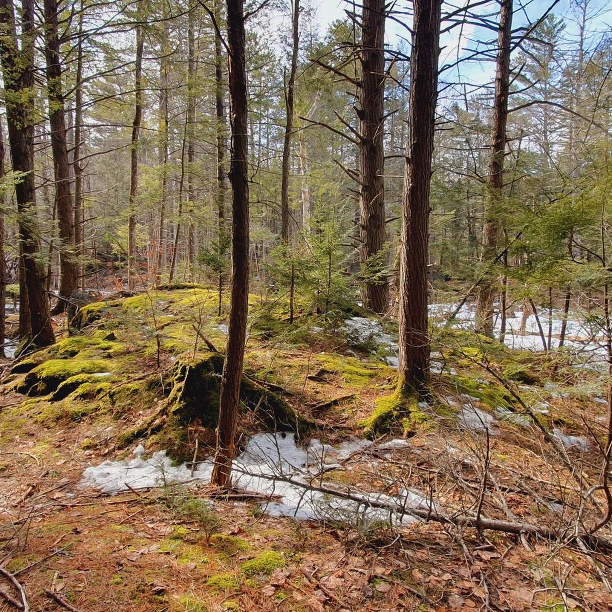
Jogging in Catamount State Forest offers diverse trail systems through picturesque woodlands and varied terrain. The region features serene flowing streams and a beautiful pond, McLeod Pond, providing a tranquil backdrop for running. Elevations within the forest reach approximately 1,407 feet, contributing to its varied landscape, which includes dirt roads, old roads, and singletrack trails. This area, historically part of the village of Catamount, provides expansive paths for runners.
Best jogging routes in Catamount State Forest
- The most popular jogging…
Last updated: July 4, 2026
2
runners
8.52km
01:01
200m
200m
Embark on the Mary Lyon Dwr – Vclt Ce loop from Pocumtuck Mountain for a dynamic jogging experience along the scenic Pocumtuck Ridge. This route offers a blend of singletrack…
8
runners
8.32km
00:55
170m
170m
Embark on a truly distinctive jogging experience with the Bridge of Flowers – Iron Bridge loop from Buckland, a route that feels like stepping into a postcard. You'll traverse the…

Sign up for free
2
runners
8.72km
01:01
200m
200m
If you're after a jogging route that blends established paths with a touch of wilder terrain, the Mary Lyon Dwr loop from Walnut Hill Woods delivers. You'll experience the diverse…
2
runners
8.02km
00:51
100m
100m
This Iron Bridge – Bridge of Flowers loop from Buckland offers a delightful jogging experience, blending historic charm with natural beauty. You'll traverse paved roads and village streets, with the…
2
runners
9.01km
01:01
200m
200m
Moderate run. Good fitness required. Mostly paved surfaces. Suitable for all skill levels.
Our route recommendations are based on thousands of hikes, rides, and runs completed by other people on komoot.
Start today with a free account
Your next adventure awaits.
Login or Signup
Popular around Catamount State Forest

Tips from the Community

As you ride along the crystal-clear waters of the Green River, surrounded by the picturesque landscape of this stunning region, take a moment to immerse yourself in the natural beauty surrounding you. In the fall, the foliage of the trees adds to the already spectacular scenery of this wondrous place.
0
0
Frequently Asked Questions
What kind of terrain can I expect on the running trails in Catamount State Forest?
Catamount State Forest offers a diverse range of terrain, including dirt roads, old roads, woods roads, and newer singletrack trails. While some trails may be unmarked, they are known for being very enjoyable to run on, especially the singletrack sections. The forest's elevation reaches approximately 1,407 feet, contributing to its varied landscape.
Are there many loop running routes in Catamount State Forest?
Yes, many of the running routes in Catamount State Forest are designed as loops, allowing you to experience different sections of the forest without retracing your steps. For example, you can explore the Mary Lyon Dwr – Vclt Ce loop from Pocumtuck Mountain or the Mary Lyon Dwr loop from Walnut Hill Woods, both offering scenic circular paths.
What natural features or landmarks can I see while running in Catamount State Forest?
While running, you'll be immersed in dense and picturesque woodlands, with serene flowing streams providing a tranquil backdrop. A notable natural feature is McLeod Pond, popular for fishing and canoeing, which includes ledges and an old dam. Historically, the area was part of the village of Catamount, which was home to the first schoolhouse in the United States to fly the American flag in 1812.
Are there family-friendly running options in Catamount State Forest?
The forest's diverse trail system, including expansive old roads, can be suitable for families depending on their experience level. While all routes in this guide are rated moderate, the varied terrain allows for different paces. For a scenic experience, consider routes that pass by serene streams and through picturesque woodlands.
Can I bring my dog on the running trails in Catamount State Forest?
Generally, state forests in Massachusetts are dog-friendly, but it's always best to keep your dog on a leash and ensure you clean up after them. Check local signage at trailheads for any specific regulations or seasonal restrictions within Catamount State Forest to ensure a pleasant experience for everyone.
Where can I park to access the running trails in Catamount State Forest?
Access to the running trails typically involves parking areas near the forest's entry points. Specific parking information can often be found on detailed trail maps or by checking the starting points of individual routes. For example, routes like the Mary Lyon Dwr – Vclt Ce loop start from areas like Pocumtuck Mountain, which usually have designated parking.
Is Catamount State Forest accessible by public transport?
Catamount State Forest is largely an undeveloped natural area, and direct public transport access is generally limited. Visitors typically reach the forest by car. It's advisable to plan your journey in advance and consider carpooling if public transport is a concern, as services to such remote natural areas are infrequent.
What is the best time of year to go running in Catamount State Forest?
The forest offers beautiful running conditions throughout much of the year. Spring and fall provide pleasant temperatures and vibrant scenery with changing foliage. Summer is also popular, though you might encounter more insects. Always check local weather conditions before heading out, especially during seasonal transitions.
Are the trails suitable for winter running in Catamount State Forest?
While the forest's trails are open year-round, winter running can present challenges due to snow and ice. The former roads and dirt paths might be accessible, but singletrack sections could be difficult. Proper winter running gear, including appropriate footwear for traction, is highly recommended if you plan to run during colder months.
How long are the typical running routes in Catamount State Forest?
The running routes in Catamount State Forest vary in length, but many popular options are around 5 to 6 miles (8 to 9 km). For instance, the Bridge of Flowers – Iron Bridge loop from Buckland is approximately 5.2 miles (8.3 km), and the Green River Road loop is about 5.6 miles (9.0 km).
What makes the running experience unique in Catamount State Forest?
The unique appeal of running in Catamount State Forest lies in its blend of diverse, often undeveloped trails and its rich natural beauty. You'll find a mix of challenging singletrack and expansive old roads, all set within pristine woodlands, serene flowing streams, and the historical remnants of the former village of Catamount. It offers a tranquil and scenic escape.
Are there any cafes or amenities near the running trails?
Catamount State Forest is primarily a natural preserve, so amenities like cafes or shops are not typically found directly within the forest or at trailheads. You would need to venture into nearby towns or communities for such services. It's always a good idea to bring your own water and snacks for your run.
Most popular routes in Catamount State Forest

Get inspired with the komoot mobile app


Explore more
Browse the best Running Trails & Routes in other regions.
