The best walks and hikes around Bono
4.6
(23)
83
hikers
5
hikes
Hiking around Bono offers routes through a varied landscape characterized by hills and elevated terrain, with several trails ascending to points like Monte Rasu and Sa Punta Manna. The region features diverse natural settings, providing opportunities for exploration on foot. Hikers can expect paths that navigate through areas with notable elevation changes, offering views of the surrounding environment.
Best hiking trails around Bono
- The most popular hiking route is View of the Landscape – Santu Franziscu Picnic Area loop from…
Last updated: July 1, 2026
4.5
(11)
45
hikers
Moderate hike. Good fitness required. Easily-accessible paths. Suitable for all skill levels.
4.6
(5)
14
hikers
Moderate hike. Good fitness required. Easily-accessible paths. Suitable for all skill levels.

Sign up for free
4.0
(1)
8
hikers
3.11km
01:00
150m
150m
Easy hike. Great for any fitness level. Easily-accessible paths. Suitable for all skill levels.
4.8
(4)
12
hikers
Moderate hike. Good fitness required. Easily-accessible paths. Suitable for all skill levels.
5.0
(2)
4
hikers
10.4km
03:06
330m
330m
Moderate hike. Good fitness required. Easily-accessible paths. Suitable for all skill levels.
Our route recommendations are based on thousands of hikes, rides, and runs completed by other people on komoot.
Start today with a free account
Your next adventure awaits.
Login or Signup
Popular around Bono
Tips from the Community

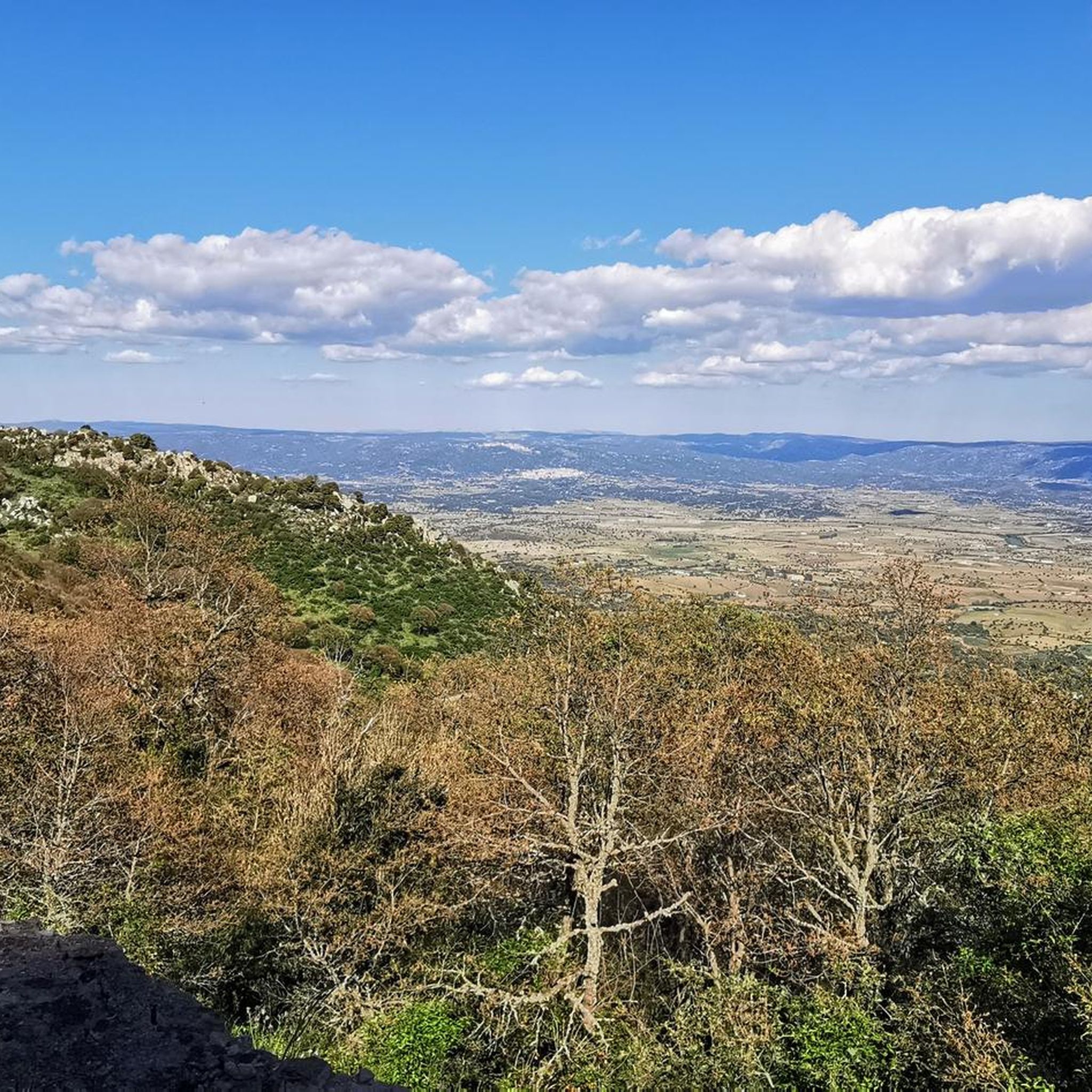
From here you have a very beautiful view of the landscape.
0
0
This is one of the oldest forest areas in Sardinia and it is wonderfully quiet and peaceful here.
0
0
From up here, you have a fantastic view. Many animals graze here, and it's very idyllic.
1
0
Great, partly redesigned picnic area with plenty of shade
0
0
Not only does the spring gurgle and gurgle here, but in April, several small streams also gurgle. Wonderful!
0
0
Here the spring gurgles wonderfully.
0
0

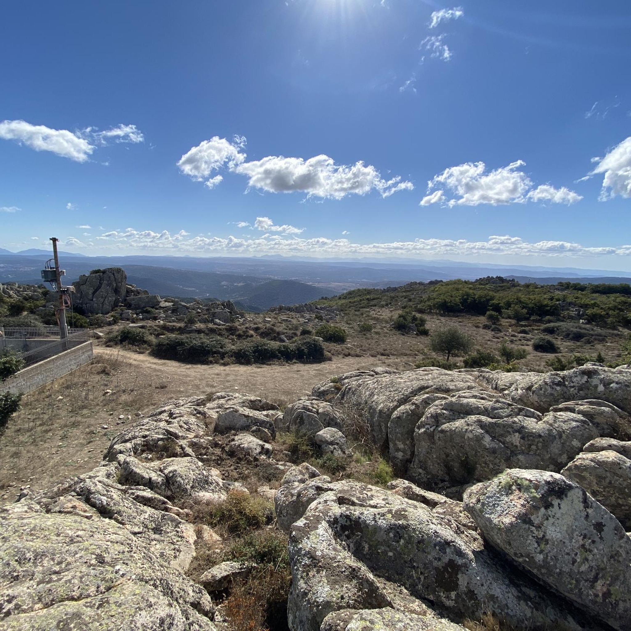
The climb is demanding, but the fantastic panorama manages to dampen the fatigue.
0
0
Frequently Asked Questions
What kind of landscape can I expect when hiking around Bono?
Hiking around Bono offers routes through a varied landscape characterized by hills and elevated terrain. You can expect paths that navigate through areas with notable elevation changes, providing views of the surrounding environment, including ascents to points like Monte Rasu and Sa Punta Manna.
Are there any easy hiking trails suitable for beginners in Bono?
Yes, there are easy trails available. For instance, the Monte Rasu – Sa Punta Manna – Funtana de Iscurtis loop from Bono is an easy 6.0 km path that provides access to prominent local points and features varied terrain. Another easy option is the Monte Rasu – Sa Punta Manna loop from Tassi de Sos Niberos, which is 3.1 km long.
What do other hikers say about the trails in Bono?
The routes in Bono are highly rated by the komoot community, with an average score of 4.5 stars from over 19 reviews. More than 73 hikers have used komoot to explore Bono's varied terrain, often praising the diverse natural settings and the opportunities for exploration on foot.
Are there any circular hiking routes in Bono?
Yes, all the listed routes around Bono are circular. You can enjoy loops such as the View of the Landscape – Santu Franziscu Picnic Area loop from Passo Ucc'Aidu, or the Monte Rasu – Sa Punta Manna – Funtana de Iscurtis loop from Bono.
What are some notable natural attractions or landmarks I can see near the hiking trails?
While hiking around Bono, you can explore several interesting nearby attractions. These include the beautiful Riu Ilde Waterfall, the historic Burgos Castle, and the ancient Pont’Ezzu Roman Bridge. You might also be interested in the Domus de Janas of Sant'Andrea Priu, an important historical site.
How long do the hikes around Bono typically take?
The duration of hikes around Bono varies depending on the route and your pace. For example, the moderate View of the Landscape – Santu Franziscu Picnic Area loop from Passo Ucc'Aidu typically takes around 2 hours 49 minutes, while the shorter easy Monte Rasu – Sa Punta Manna loop from Tassi de Sos Niberos can be completed in about 1 hour.
Are there any facilities or points of interest like fountains along the trails?
Yes, some routes pass by notable points of interest. For example, the Monte Rasu – Sa Punta Manna – Funtana de Iscurtis loop from Bono includes 'Funtana de Iscurtis' in its name, suggesting a fountain. Another route, Monte Rasu – Sa Punta Manna – Funtana de s'Abba Fritta loop from Tassi de Sos Niberos, also indicates a fountain ('Funtana de s'Abba Fritta'). You can also find the Fontana Cantaru de Murone nearby.
What is the elevation gain like on Bono's hiking trails?
The trails around Bono feature significant elevation changes due to the hilly and elevated terrain. For instance, the moderate View of the Landscape – Santu Franziscu Picnic Area loop from Passo Ucc'Aidu has an elevation gain of over 340 meters, while the easy Monte Rasu – Sa Punta Manna – Funtana de Iscurtis loop from Bono involves an ascent of over 250 meters.
Can I find trails that lead to viewpoints or elevated areas?
Absolutely. Many trails in Bono are designed to take you to elevated viewpoints. Routes often ascend to points like Monte Rasu and Sa Punta Manna, offering panoramic views of the surrounding landscape. For example, the Monte Rasu – Sa Punta Manna – Funtana de Iscurtis loop from Bono provides access to these prominent local points.
Are there any trails that are particularly good for a longer, more challenging hike?
For a longer and moderately challenging hike, consider the View of the Landscape – Santu Franziscu Picnic Area loop from Passo Ucc'Aidu. This 9.1 km route features significant elevation gain and takes nearly 3 hours to complete. Another good option is the Hiking loop from Tassi de Sos Niberos, which is 10.4 km long and also rated moderate.
Most popular routes around Bono
Most popular attractions around Bono

Get inspired with the komoot mobile app


Explore more
Browse the best Hikes in other regions.
