The best running trails around Fuentes De Béjar
4.0
(1)
23
runners
7
runs
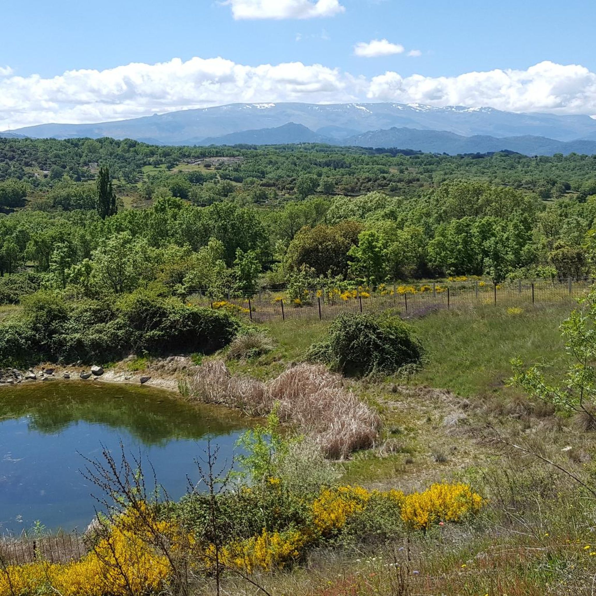
Jogging routes around Fuentes de Béjar are set within the Sierra de Béjar mountain range, offering diverse natural landscapes. The region is characterized by an elevation exceeding 900 meters, featuring abundant springs, diverse forests of holm oaks and chestnuts, and river valleys like the Sangusín. This mountainous terrain provides varied running surfaces, from open plains to shaded trails, suitable for different levels of activity.
Best jogging routes around Fuentes De Béjar
- The most popular jogging route is La Charca –…
Last updated: July 4, 2026
4.0
(1)
4
runners
8.88km
00:56
80m
80m
Moderate run. Good fitness required. Mostly paved surfaces. Suitable for all skill levels.
5
runners
27.2km
03:02
520m
520m
Hard run. Very good fitness required. Mostly paved surfaces. Suitable for all skill levels.

Sign up for free
3
runners
15.9km
01:44
250m
240m
Hard run. Very good fitness required. Mostly paved surfaces. Suitable for all skill levels.
2
runners
7.48km
00:50
120m
120m
Moderate run. Good fitness required. Mostly paved surfaces. Suitable for all skill levels.
2
runners
10.3km
01:09
140m
140m
Moderate run. Good fitness required. Mostly paved surfaces. Suitable for all skill levels.
Get access to more routes and recommendations from other explorers.
Sign up for free
Already have an account?
Our route recommendations are based on thousands of hikes, rides, and runs completed by other people on komoot.
Start today with a free account
Your next adventure awaits.
Login or Signup
Tips from the Community

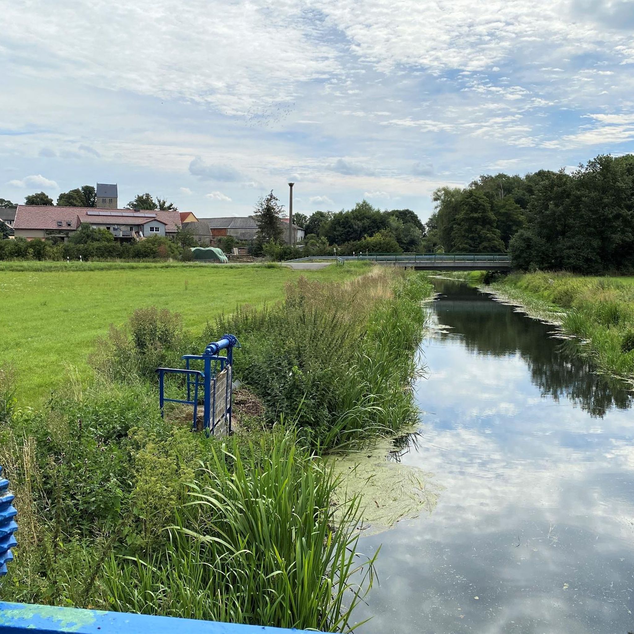
Between Puente del Congosto and Guijo de Ávila, the Cañada Real Soriana Occidental runs very close to the Tormes River, which makes the journey much more pleasant.
0
0

This is the tourist and gastronomic area of Guijuelo, considered the birthplace of acorn-fed Iberian ham with Protected Designation of Origin (PDO Guijuelo). More than 150 ham and cured meat producers are concentrated here. The cold, dry climate of the Sierra de Béjar favors a slow, natural curing process, giving the ham a sweeter, more unctuous flavor.
3
0

You cannot leave Guijuelo without eating its famous ham! The town is famous for the high quality of its hams and sausages from Iberian pigs. Although the meat comes largely from Extremadura and Andalusia, here it finds the perfect place for its curing, thanks to a characteristic cold and dry climate.
2
1

Frequently Asked Questions
What types of running routes can I find around Fuentes de Béjar?
The Fuentes de Béjar area, nestled within the Sierra de Béjar, offers a variety of running routes. You'll find trails ranging from moderate loops through plains and agricultural landscapes to more challenging, longer routes with significant elevation changes through mountainous terrain and diverse forests. The region's natural features, including abundant springs and river valleys, contribute to varied and scenic running experiences.
How many jogging routes are available in the Fuentes de Béjar area?
There are over 5 dedicated jogging routes around Fuentes de Béjar listed on komoot, offering a good selection for different preferences and fitness levels. These include moderate and difficult options to explore the region's diverse landscapes.
Are there any easy or moderate running trails suitable for beginners or a relaxed jog?
Yes, the area offers several moderate running trails perfect for beginners or those looking for a more relaxed jog. For instance, the Jesús Route loop from Ledrada is a moderate 7.5 km path with gentle gradients and scenic views. Another moderate option is the Guijuelo Jamón District loop from Antigua Estación de Guijuelo, which leads through plains and agricultural landscapes.
What are some of the more challenging running routes in the region?
For experienced runners seeking a challenge, routes like the longer version of the La Charca – Cabecillo de los Dados loop from Fuentes de Béjar offer a demanding experience. This difficult 27.2 km trail features significant elevation changes and varied terrain, providing a rigorous workout amidst the Sierra de Béjar's natural beauty.
What kind of natural features or landmarks can I expect to see while running?
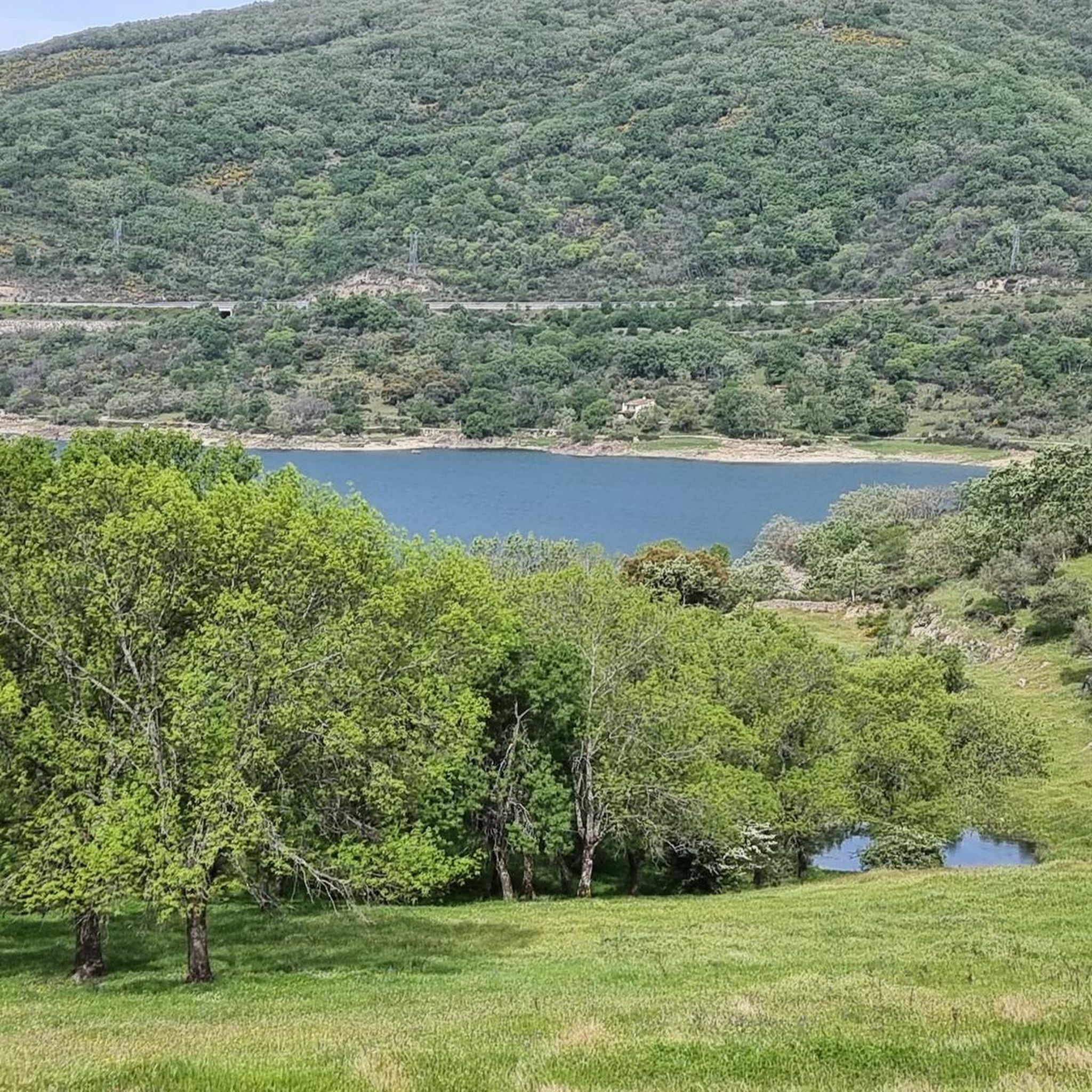
The region is rich in natural beauty. You'll encounter abundant springs and fountains, diverse forests of holm oaks, oaks, and chestnuts, and picturesque river valleys like the Sangusín. The Sierra de Béjar also offers numerous viewpoints (miradores) with panoramic views. While running, you might also pass by the Guijuelo Jamón District, known for its agricultural landscapes, or even the unique Granite Theme Park.
Are there any circular running routes available?
Yes, many of the running routes in the Fuentes de Béjar area are designed as loops, offering convenient circular paths. Examples include the Jesús Route loop from Ledrada and the Collado de los Matiagos loop from Sanchotello, allowing you to start and finish at the same point without retracing your steps.
What do other runners say about the trails in Fuentes de Béjar?
The running routes in Fuentes de Béjar are highly regarded by the komoot community, with an average score of 4.0 stars. Runners often praise the varied terrain, the natural beauty of the forests and springs, and the options available for different ability levels, from moderate loops to more challenging, longer running routes.
Is the area suitable for family-friendly jogging or walks?
While specific family-friendly jogging routes are not highlighted in the data, the region's description of 'very comfortable with hardly any unevenness' and 'narrow paths that do not offer many difficulties' suggests that some of the moderate trails, especially those through plains or less steep forest sections, could be suitable for families looking for a relaxed walk or light jog. The Picnic area could be a good spot for a break.
What is the best time of year to go jogging in Fuentes de Béjar?
The diverse forests of oaks, holm oaks, and chestnuts offer shaded trails, which are particularly appealing during warmer months. In autumn, these woodlands present a vibrant spectacle of reddish and golden hues, making it a beautiful time for a run. The region's altitude, exceeding 900 meters, also contributes to unique climatic conditions that can be pleasant for outdoor activities.
Are there any specific points of interest or attractions near the running routes?
Beyond the natural landscapes, you can find several points of interest. The historic El Bosque de Béjar Garden, a Renaissance suburban villa, offers pleasant strolls. The region is also dotted with viewpoints like Mirador de la Peña de la Cruz, Mirador de Olivillas, and Mirador de la Fuente del Lobo, providing scenic rewards. The Granite Theme Park is another unique cultural attraction nearby.
Are there any trails that follow river valleys or feature water sources?
Absolutely. The name 'Fuentes de Béjar' itself refers to the numerous springs and fountains in the area. Many routes explore these natural water sources, some of which contribute to the birth of the Sangusín River. You'll find picturesque spots along these riverbanks and valleys, offering refreshing scenery during your run.
What is the general elevation and difficulty level of the running trails?
The Fuentes de Béjar area is situated within the Sierra de Béjar mountain range, with an elevation exceeding 900 meters. This means you can expect varied terrain, from relatively flat plains to significant ascents and descents. The trails range from moderate, with gentle gradients, to difficult, featuring substantial elevation changes, catering to different fitness levels.
Most popular attractions around Fuentes De Béjar

Get inspired with the komoot mobile app


Explore more
Browse the best Running Trails & Routes in other regions.
