The best gravel rides around Os Ancares
4.8
(8)
205
riders
8
rides
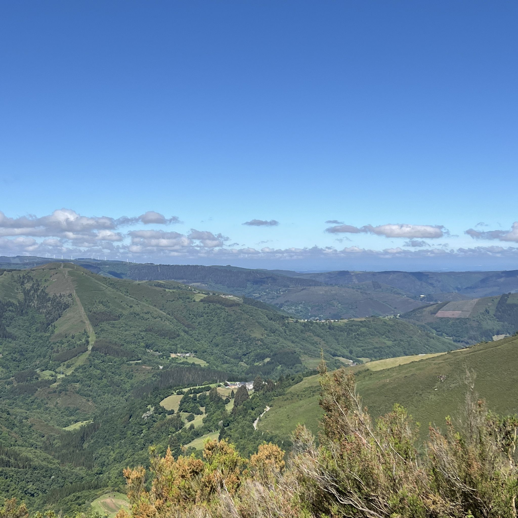
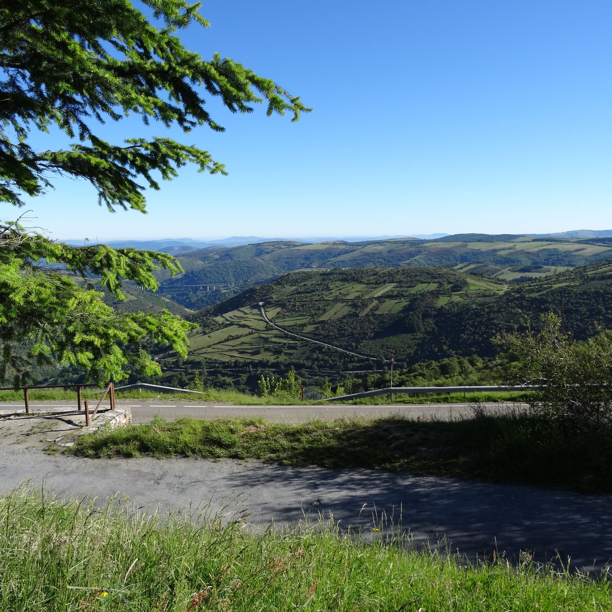
Gravel biking around Os Ancares features a diverse and rugged mountain ecosystem, characterized by steep relief, deep valleys, and impressive peaks. The region's landscape is sculpted by glacial and river formations, with waterways like the Navia and Burbia. Extensive networks of old Roman roads and unpaved segments traverse diverse forests of oak, chestnut, and beech, offering challenging and scenic routes with significant elevation changes.
Best gravel bike trails around Os Ancares
- The most popular gravel bike trail is Ascent to O Cebreiro – Alto do Poio loop from Padornelo, a 64.4 miles (103.6 km) trail that takes 9 hours 14 minutes to complete. This difficult route features significant elevation gains and passes through mountainous terrain.
- Another top favourite among local gravel bikers is Ascent to O Cebreiro – Alto do Poio loop from Padornelo, a difficult 50.6 miles (81.4 km) path. This route offers varied terrain through deep valleys and forested areas, providing a challenging experience.
- Local gravel bikers also love the Lakes of Teixeiro – Lakes of Teixeiro loop from Castroverde, a 41.4 miles (66.6 km) trail leading through diverse forests and unpaved segments, often completed in about 6 hours 47 minutes.
- Gravel biking around Os Ancares is defined by mountainous terrain, deep valleys, and diverse forests, with routes often utilizing old Roman roads and unpaved segments. The network offers options for different ability levels, though many routes feature significant elevation changes.
- The routes in Os Ancares are highly rated by the komoot community with an average score of 5.0 stars from a handful of reviews. More than 70 gravel bikers have used komoot to explore Os Ancares's varied terrain.
Last updated: July 10, 2026
4.0
(1)
51
riders
131km
09:22
2,870m
2,870m
Hard gravel ride. Very good fitness required. Mostly paved surfaces. Suitable for all skill levels.
5.0
(2)
41
riders
89.6km
06:42
2,290m
2,290m
Hard gravel ride. Very good fitness required. Mostly paved surfaces. Suitable for all skill levels.

Sign up for free
5.0
(2)
43
riders
144km
09:26
2,620m
2,620m
Hard gravel ride. Very good fitness required. Mostly paved surfaces. Suitable for all skill levels.
5.0
(1)
33
riders
103km
07:40
2,610m
2,610m
Hard gravel ride. Very good fitness required. Mostly paved surfaces. Suitable for all skill levels.
14
riders
146km
10:25
3,210m
3,200m
Hard gravel ride. Very good fitness required. Mostly paved surfaces. Suitable for all skill levels.
Get access to more routes and recommendations from other explorers.
Sign up for free
Already have an account?
Our route recommendations are based on thousands of hikes, rides, and runs completed by other people on komoot.
Start today with a free account
Your next adventure awaits.
Login or Signup
Popular around Os Ancares

Gravel biking around Pedrafita Do Cebreiro

Gravel biking around Cervantes

Gravel biking around As Nogais

Gravel biking in Ancares - Courel
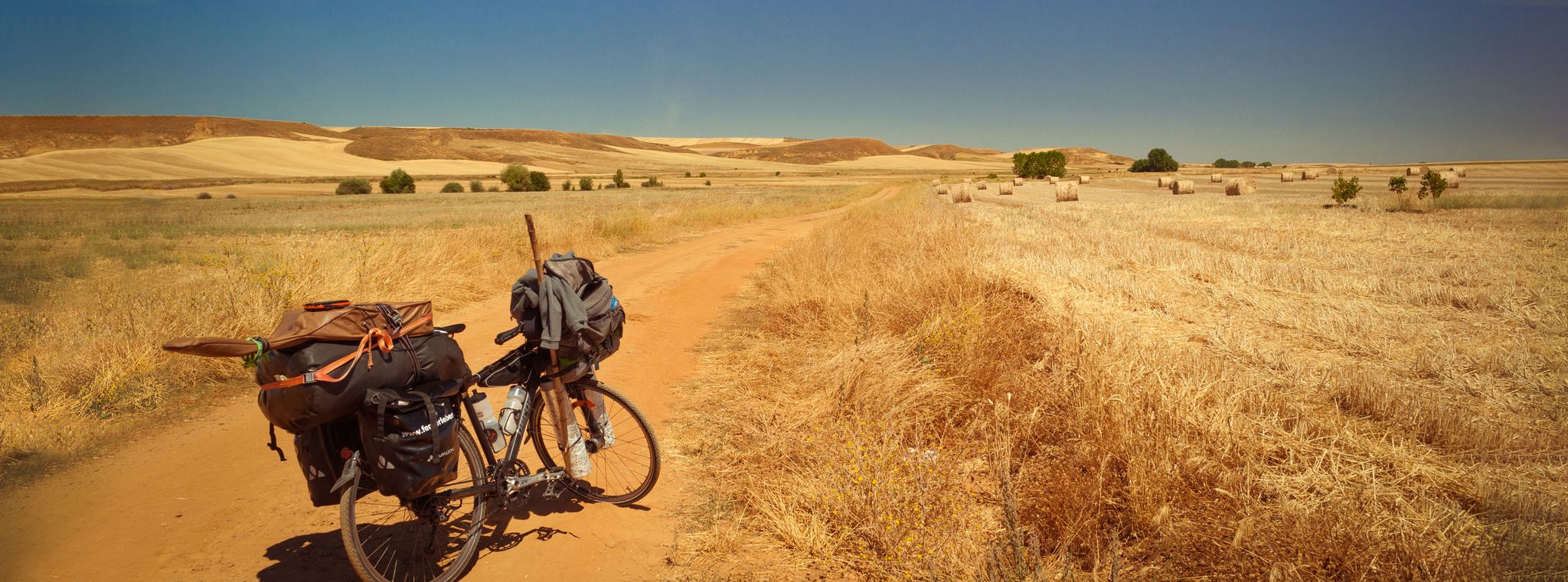
Camino Francés and Camino Finisterre – Cycling pilgrimages in Spain
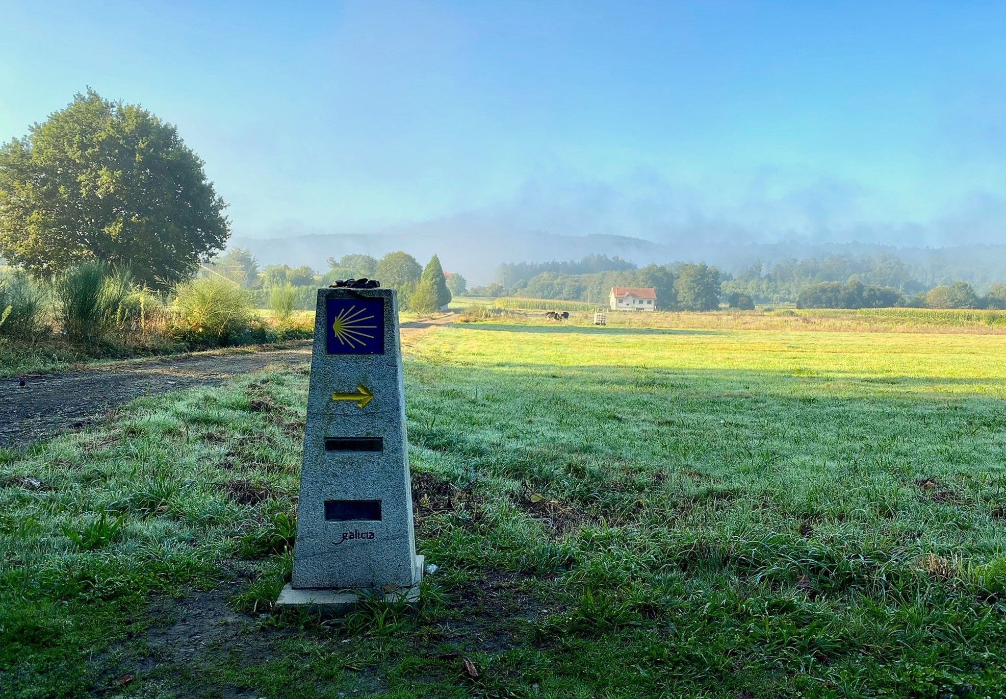
A pilgrimage on foot – Spain’s Primitive Way
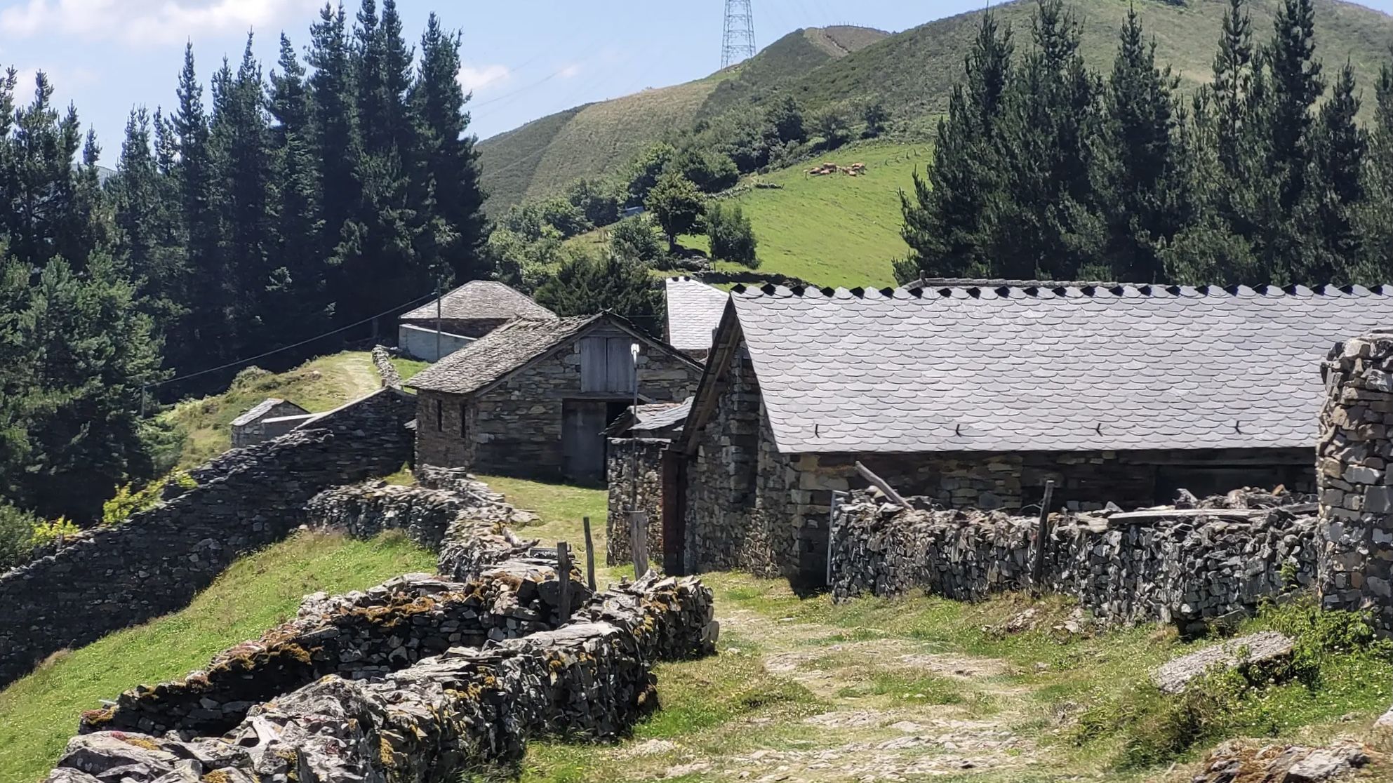
The Camino Primitivo — From Oviedo to Santiago through history
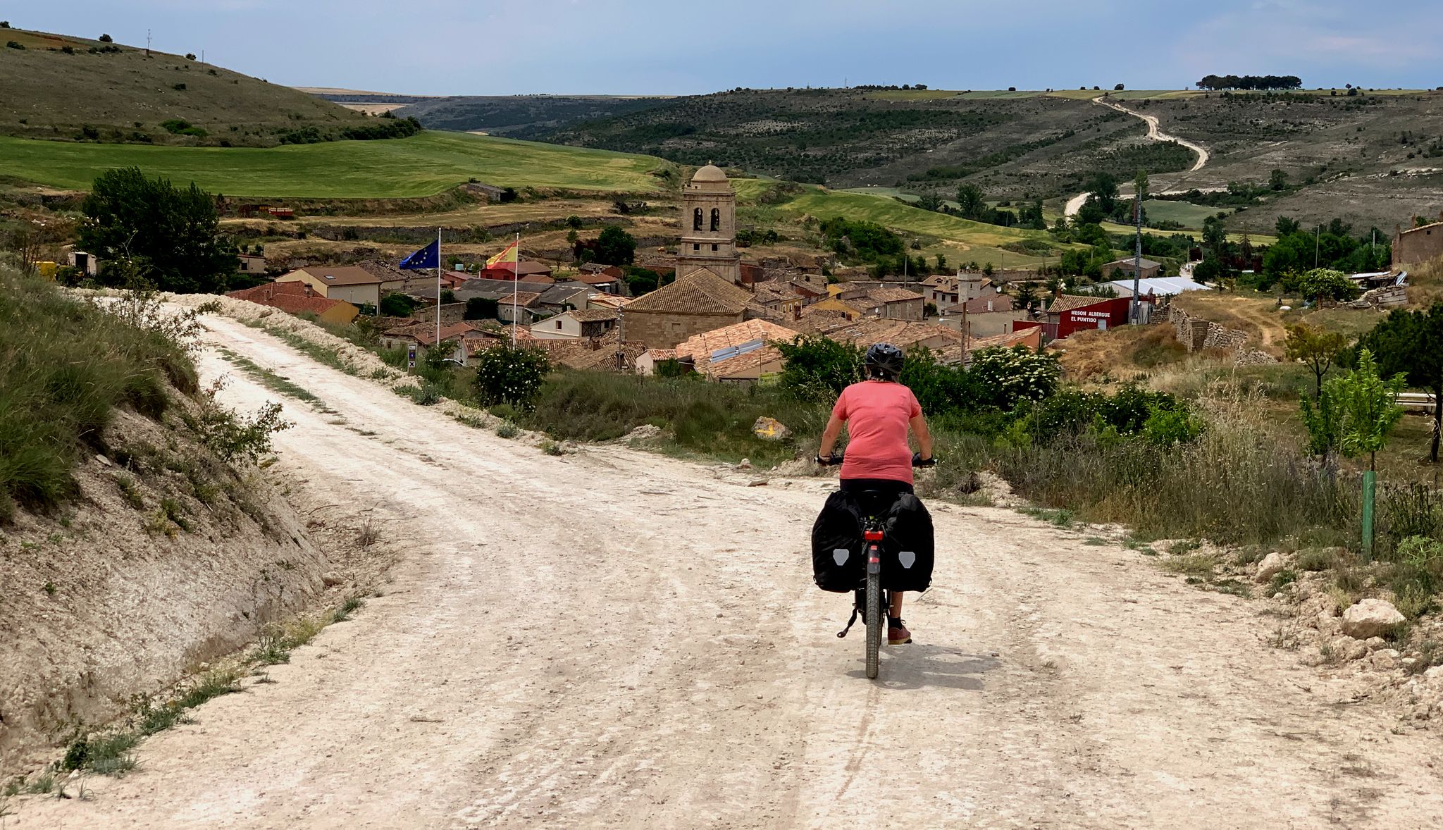
The Pilgrim Route — EuroVelo 3 through Spain
MTB Trails around Os Ancares
Hiking around Os Ancares
Other adventures around Os Ancares


Tips from the Community

A beautiful climb, steady and challenging, surrounded by greenery. Beautiful views.
0
0

One of the highest points on the French Way of the Camino de Santiago, located between Triacastela and Fonfría, already in the province of Lugo. At 1,335 meters above sea level, this peak offers a natural viewpoint overlooking the Galician mountains. The area is often exposed to wind and changeable weather, even in summer, but the views and the feeling of having reached a milestone more than compensate. There's a hostel/bar right at the summit, useful as a stopping point for pilgrims and cyclists. Dress warmly before reaching the top: the temperature here can drop suddenly, even on sunny days. If you're on a mountain bike or e-bike, make sure you have good traction on descents and that your brakes are checked: the descent towards Fonfría is fast and winding. It's a good place to rest and refill your water or coffee before continuing.
1
0
One of the oldest monasteries in the West, dating back to the 6th century and the heart of the Ribeira Sacra region of Lugo. Its large cloister is the largest in Spain, and the complex is impressive both for its size and its history linked to the Camino de Santiago. Arriving via the detour from the French Way is a gift: a peaceful stretch, with a river and picture-perfect vegetation. However, once you leave, you have to climb back… and your legs remember.
1
0


Famous pass, feared by medieval pilgrims, practically connects the Bierzo with Galicia. The climb from Villafranca del Bierzo is no joke, but doable. Just take it easy.
4
0
Stage of the Camino de Santiago. It goes from the vineyards of Bierzo to the green mountains of the mythical O Cebreiro pass
5
0
Frequently Asked Questions
What kind of terrain can I expect on gravel bike trails in Os Ancares?
Os Ancares is characterized by its diverse and rugged mountain ecosystem. You'll encounter steep relief, deep valleys, and impressive peaks. The routes often feature significant elevation changes, utilizing extensive networks of old Roman roads and unpaved segments through diverse forests of oak, chestnut, and beech. While some sections may be paved, many are unpaved, offering a true gravel biking experience.
Are there any beginner-friendly gravel bike trails in Os Ancares?
While Os Ancares is known for its challenging terrain and significant elevation gains, there are routes that cater to varying fitness levels. For instance, the Tunnel with holes – Iron bridge loop from A Pontenova is rated as moderate, offering a less demanding option compared to the more difficult mountain ascents. However, most routes in the region are rated as difficult, so be prepared for a workout.
What are some notable landmarks or viewpoints I can see along the gravel trails?
Os Ancares offers a rich blend of natural beauty and cultural heritage. You can explore traditional circular stone houses known as 'pallozas' in villages like Piornedo and O Cebreiro. Along the trails, you might encounter historical sites such as the Montouto Hospital and Dolmen, or natural highlights like the Pico Mostallar. The region is also famous for its mountain passes, including the Ancares Pass, which offers spectacular views. Don't miss the Pilgrim Statue at Alto de San Roque for a cultural touch.
Are there any circular gravel bike routes available in Os Ancares?
Yes, many of the gravel bike routes in Os Ancares are designed as loops, allowing you to start and end in the same location. Examples include the challenging Ascent to O Cebreiro – Alto do Poio loop from Padornelo, the scenic Lakes of Teixeiro – Lakes of Teixeiro loop from Castroverde, and the Alto da Baqueriza – Cádavo, Baleira loop from Castroverde.
What is the best time of year for gravel biking in Os Ancares?
Os Ancares, with its mountainous terrain and diverse forests, experiences distinct seasons. Spring and autumn generally offer pleasant temperatures and vibrant landscapes, making them ideal for gravel biking. Summers can be warm, especially at lower elevations, while winters bring colder temperatures and potential snow in the higher peaks, which can make some routes challenging or inaccessible. Always check local weather conditions before heading out.
What do other gravel bikers enjoy most about riding in Os Ancares?
The komoot community highly rates the gravel biking experience in Os Ancares, with an average score of 5.0 stars. Riders often praise the region's unspoiled nature, the challenging climbs with rewarding scenic views from various mountain passes, and the extensive network of trails that allow for deep immersion in the rugged mountain ecosystem.
Is Os Ancares suitable for family gravel biking trips?
Os Ancares is characterized by its rugged mountain terrain and significant elevation changes, with most routes rated as difficult. While the natural beauty is undeniable, the challenging nature of many trails might be demanding for younger children or families seeking very easy, flat rides. It's best suited for families with older, experienced riders who are comfortable with strenuous climbs and unpaved surfaces.
Can I bring my dog on the gravel bike trails in Os Ancares?
Os Ancares is a Biosphere Reserve and a crucial habitat for endangered species like the Cantabrian brown bear and the capercaillie, as well as wolves and wild boar. While dogs are generally allowed on trails, it's essential to keep them on a leash to protect local wildlife and ensure their safety, especially in such a wild and pristine environment. Be mindful of local regulations and the challenging terrain, which might not be suitable for all dogs.
Are there any specific natural features or wildlife I should look out for?
Os Ancares is a region of exceptional natural vitality. You'll ride through diverse forests of oak, chestnut, beech, holly, and birch. The landscape is sculpted by glacial formations and rivers like the Navia and Burbia. Keep an eye out for wildlife; the area is home to endangered species such as the Cantabrian brown bear and the capercaillie, as well as wolves, wild boar, and various birds of prey. Maintaining a respectful distance and observing from afar is key.
How many gravel bike trails are available in Os Ancares?
There are several gravel bike trails available in Os Ancares, with komoot currently listing 4 distinct routes. These routes vary in length and challenge, providing options for exploring the region's diverse terrain.
What are the highest peaks in the Os Ancares region that might be visible from the trails?
Os Ancares boasts impressive mountain peaks that define its rugged landscape. The highest peaks in the Biosphere Reserve include Mustallar (1,924 meters), Penalonga (1,842 meters), and Corno Maldito (1,847 meters). Many gravel routes offer stunning views of these majestic summits, providing a rewarding backdrop to your ride.
Most popular routes around Os Ancares
Most popular attractions around Os Ancares

Get inspired with the komoot mobile app


Didn’t find what you were looking for?
Check out more Gravel rides throughout Os Ancares below and find the perfect route in your destination.
