The best running trails around Plaidt
4.2
(804)
11,761
runners
13
runs
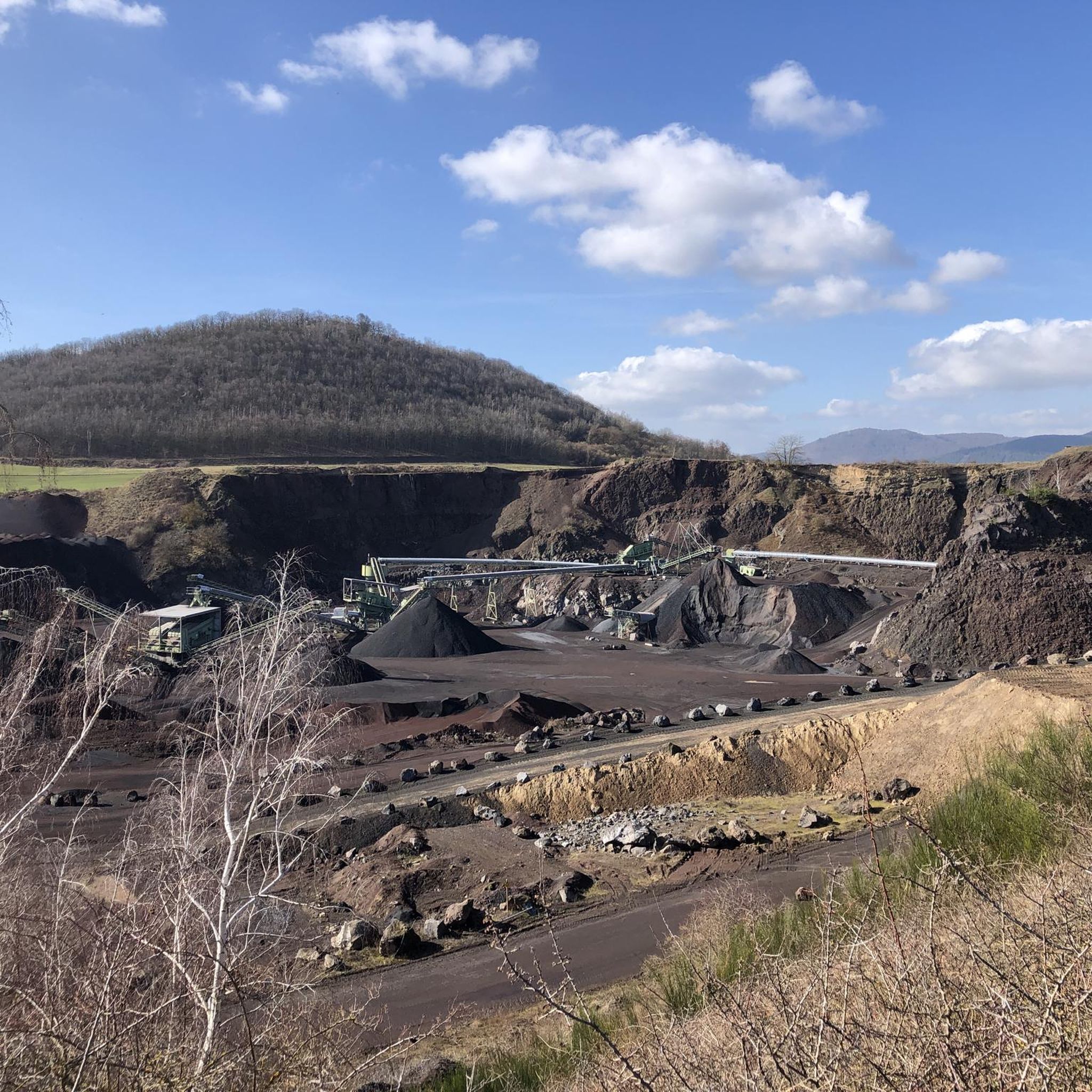
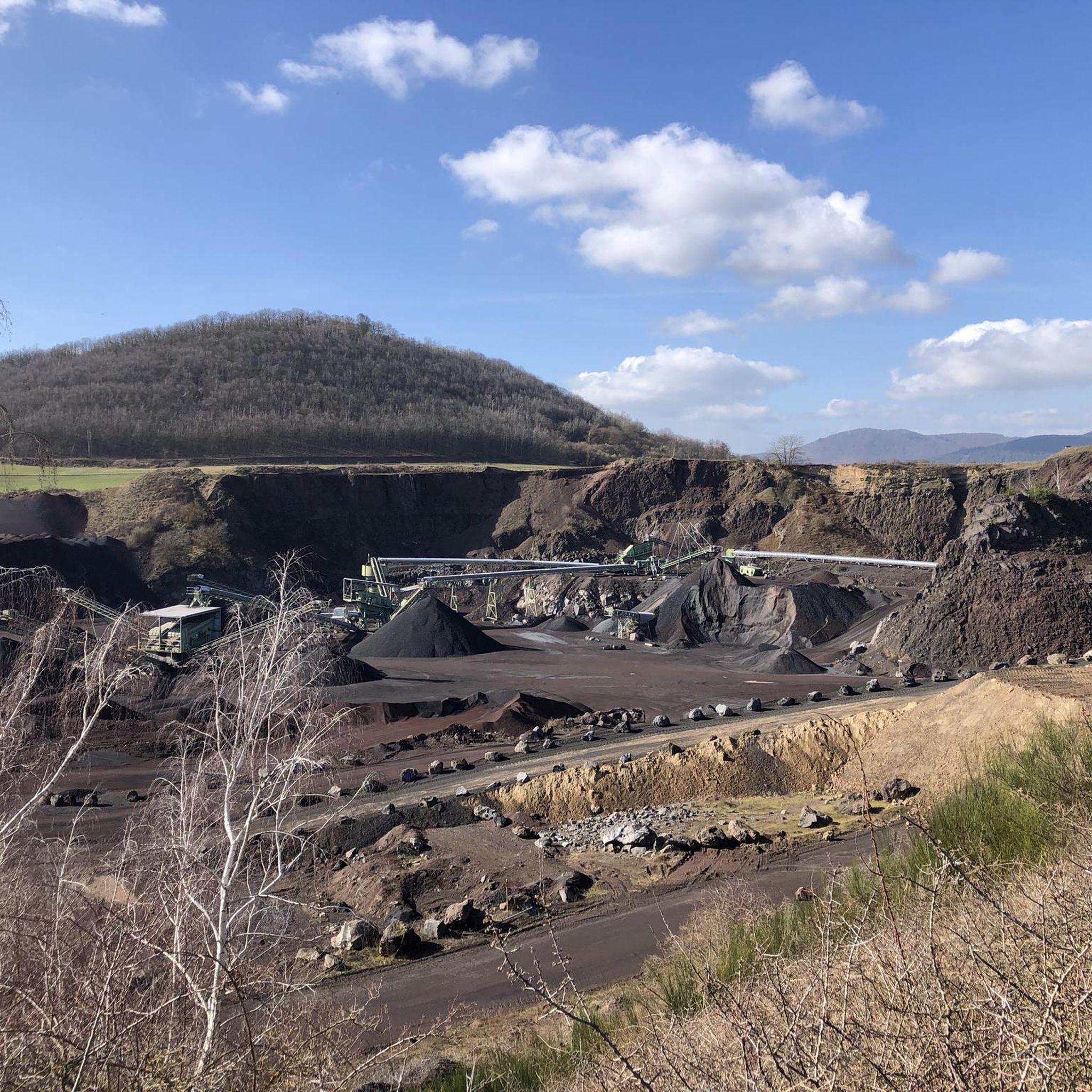
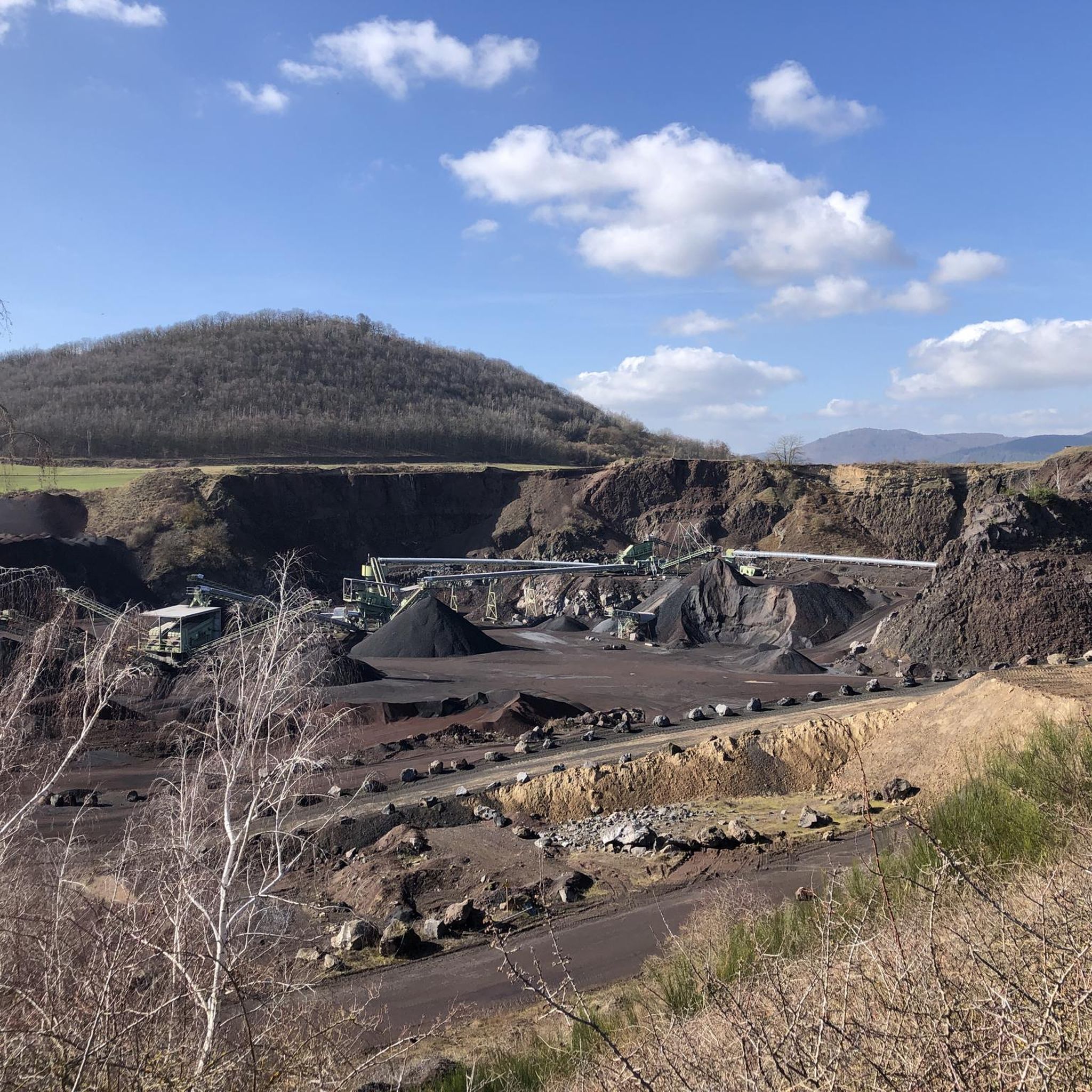
Jogging around Plaidt offers diverse experiences through its varied landscapes, situated near the Volcanic Eifel region and the Nette Valley. The area is characterized by a unique geological landscape shaped by past volcanic activity, including features like pumice terraces and river valleys. Runners can explore a rich tapestry of natural features, from relatively flat paths along waterways to more challenging inclines within the volcanic terrain. This provides a compelling setting for outdoor activities, catering to a range of fitness levels.
…Last updated: September 30, 2026
8
runners
8.53km
00:55
100m
100m
Moderate run. Good fitness required. Mostly paved surfaces. Suitable for all skill levels.
5.0
(1)
11
runners
10.4km
01:06
70m
70m
Moderate run. Good fitness required. Mostly paved surfaces. Suitable for all skill levels.

5.0
(4)
5
runners
6.76km
00:43
70m
70m
Moderate run. Good fitness required. Mostly paved surfaces. Suitable for all skill levels.
4
runners
5.62km
00:36
30m
30m
Moderate run. Good fitness required. Mostly paved surfaces. Suitable for all skill levels.
7
runners
7.31km
00:46
50m
50m
Moderate run. Good fitness required. Mostly paved surfaces. Suitable for all skill levels.
Get access to more routes and recommendations from other explorers.
Already have an account?
Our route recommendations are based on thousands of hikes, rides, and runs completed by other people on komoot.
Start today with a free account
Your next adventure awaits.

Tips from the Community

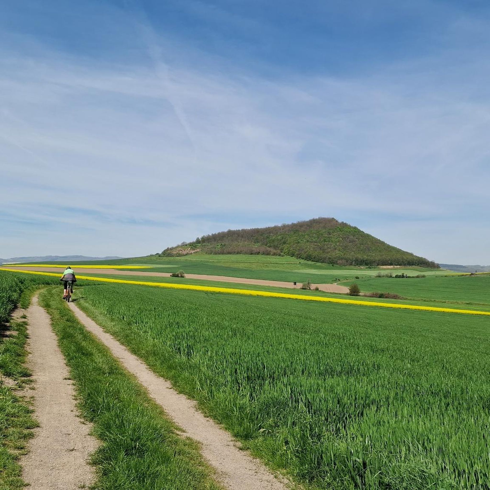
beautiful paths for cycling or hiking in the meadows and fields
1
0

As always with Lung's ice cream - ask for sour cream - my tip for 35 years.
1
0

The works are mainly made of wood and stone, but they are all beautiful to look at.
1
0

Well-developed cycle path with the best asphalt. This makes cycling fun.
1
0

For about 200,000 years, the Nette has flowed through the lava flow of the Wannen volcanic group.
1
0

Here, the place Kruft is over or starts. When you drive out of Kruft, according to the sign, nothing more comes, so you could think that here is the end of the world "Kruft"
1
0

This cozy place by the water is great for a relaxing rest.
2
0

Absolutely worth seeing brook that meanders through the landscape with great single trails next to it
2
0
Frequently Asked Questions
How many running routes are available around Plaidt?
Plaidt offers an extensive network of over 500 running routes, catering to various preferences and fitness levels. These trails are highly rated by the komoot community, with an average score of 4.3 stars.
What kind of terrain can I expect on jogging trails in Plaidt?
The terrain around Plaidt is incredibly diverse, influenced by its location on the edge of the Volcanic Eifel region and the Nette Valley. You'll find everything from relatively flat paths along riverbanks, such as the Rhine Riverside Path, to more challenging inclines and varied landscapes shaped by past volcanic activity, including pumice terraces.
Are there any easy or beginner-friendly running routes in Plaidt?
Yes, Plaidt has 56 easy running routes perfect for beginners or those looking for a relaxed jog. The Nettepark, for instance, offers barrier-free circular routes that are generally gentler and accessible.
Can I find challenging running trails for more experienced runners?
Absolutely. For experienced runners seeking a challenge, Plaidt offers 69 difficult routes. Trails like the Rest area on the Nette – Water Discharge into the River loop from Miesenheim provide longer distances and more significant elevation changes.
What natural attractions or landmarks can I see while running in Plaidt?
Many routes in Plaidt pass by fascinating natural features. You can explore the unique volcanic landscape, including the caldera of Laacher Lake and its Mofettes. The Nette Valley itself is a highlight, and some trails might lead you near the impressive Trass Caves or the Wolf Gorge Waterfall.
Are there any circular running routes around Plaidt?
Yes, many of the running routes in Plaidt are circular, offering convenient starting and ending points. Examples include the Gut Nettehammer loop from Miesenheim, which takes you through the scenic Nette Valley, and the Running loop from Kretz.
What do other runners say about the trails in Plaidt?
The running trails in Plaidt are highly regarded by the komoot community, boasting an average rating of 4.3 stars from over 600 reviews. Runners often praise the diverse landscapes, from river valleys to volcanic terrain, and the variety of routes available for all ability levels.
Are there any routes that offer views of the Rhine River?
Yes, you can enjoy scenic views along the Rhine River on routes such as the Rhine Riverside Path, Urmitz – Aalschokker St. Georg Urmitz loop from Miesenheim. This longer route provides picturesque stretches along the riverbanks.
Can I find routes that lead through the Nette Valley?
The Nette Valley is a prominent feature for runners in Plaidt. Routes like the Gut Nettehammer loop from Miesenheim and the Rest area on the Nette loop from Miesenheim offer beautiful insights into this charming natural area.
Are there any huts or shelters along the running paths for a break?
While running, you might encounter various huts and shelters in the broader region that can serve as a resting point. Notable examples include the Austerfeld Hut and the Grillhütte Dalfter, among others.
What is the best time of year to go running in Plaidt?
Plaidt's diverse landscapes make it suitable for running throughout much of the year. Spring and autumn offer pleasant temperatures and vibrant scenery, while summer provides longer daylight hours. The varied terrain means you can often find sheltered routes even in less ideal weather.
Most popular attractions around Plaidt

Get inspired with the komoot mobile app


Explore more
Browse the best Running Trails & Routes in other regions.
