The 2 Most Amazing Peaks around Witterda
Best mountain peaks around Witterda are found in a region characterized by its relatively low elevation in the Sömmerda district of Thuringia, Germany. The municipality itself sits at approximately 220 to 314 meters above sea level. While not featuring towering peaks, the landscape includes undulating terrain and small hills. These elevated points offer opportunities to explore natural monuments and historical sites.
Best mountain peaks around Witterda
- The most popular mountain peaks is Schwellenburg Hill, a natural monument that is…
Last updated: August 21, 2026
Schwellenburg Hill
Highlight • Natural Monument
Translated by Google •
Tip by

View from Galgenberg
Highlight • Viewpoint
Showing Translation
Tip by

Sign up now to discover places like this
Get recommendations on the best single tracks, peaks, & plenty of other exciting outdoor places.
Sign up for free
View from Geiersberg
Highlight • Viewpoint
Translated by Google •
Tip by

Nödaer Warthe
Highlight • Monument
Translated by Google •
Tip by

Start today with a free account
Your next adventure awaits.
Login or Signup
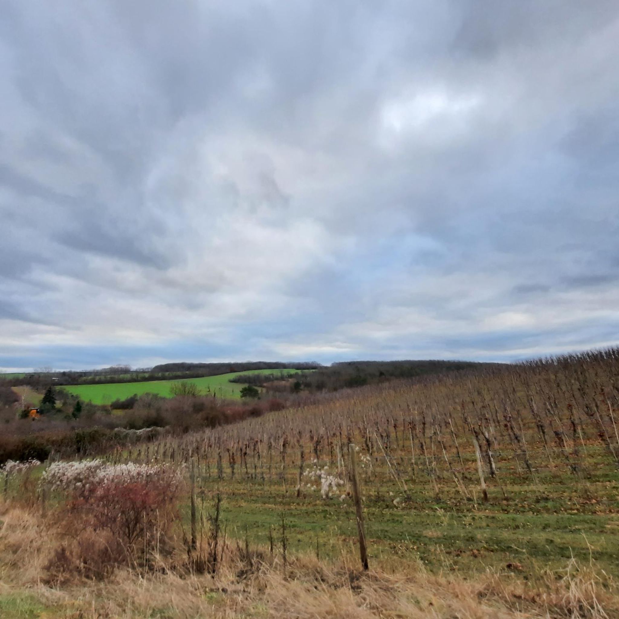
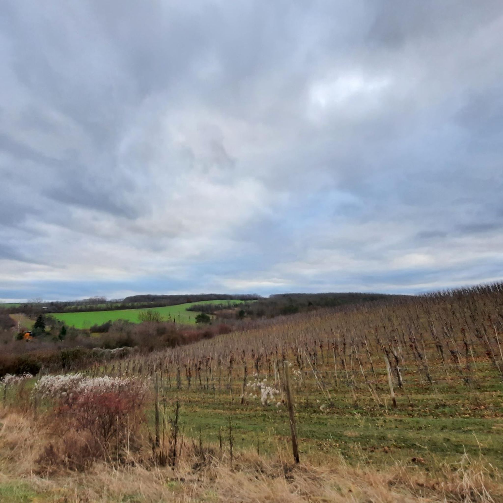
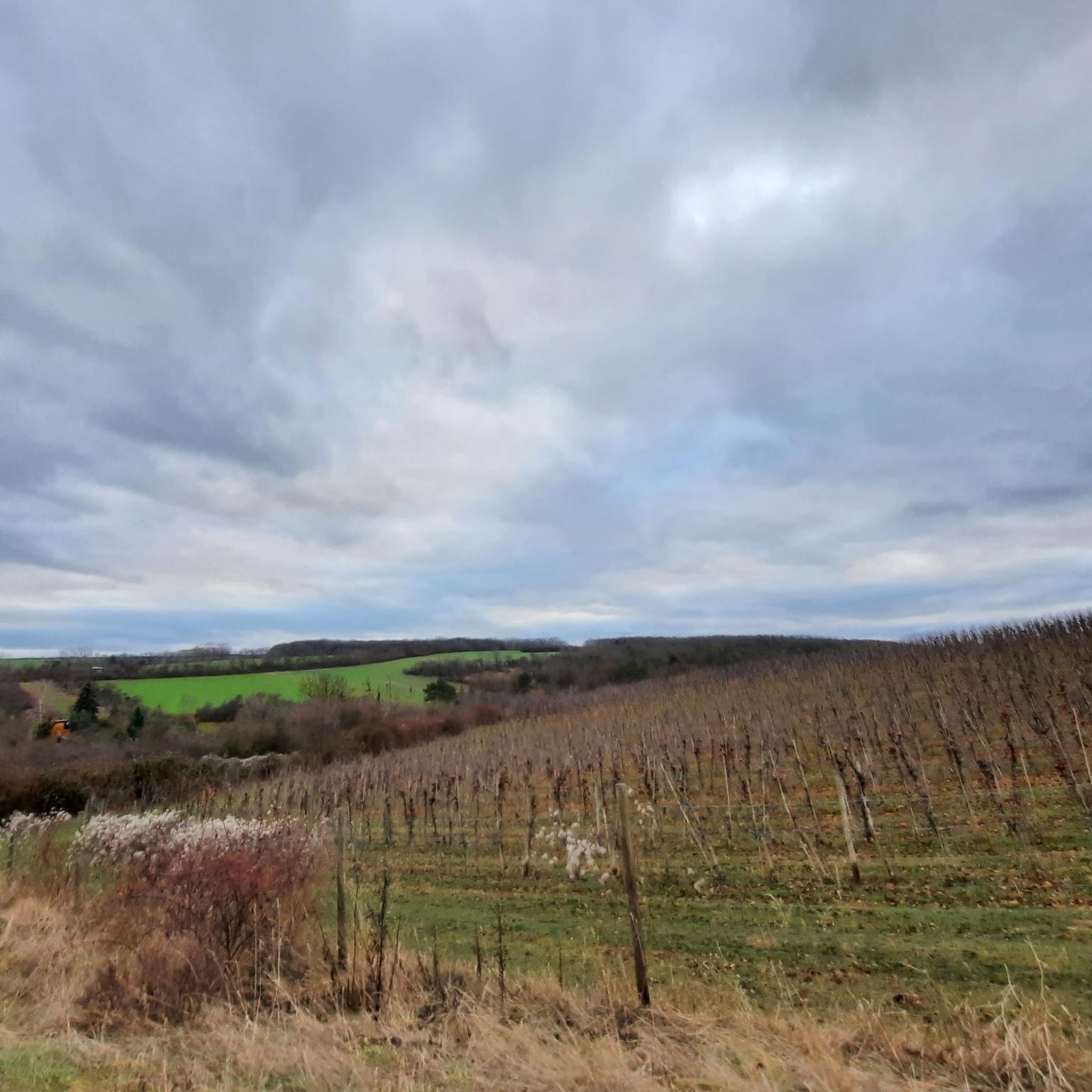
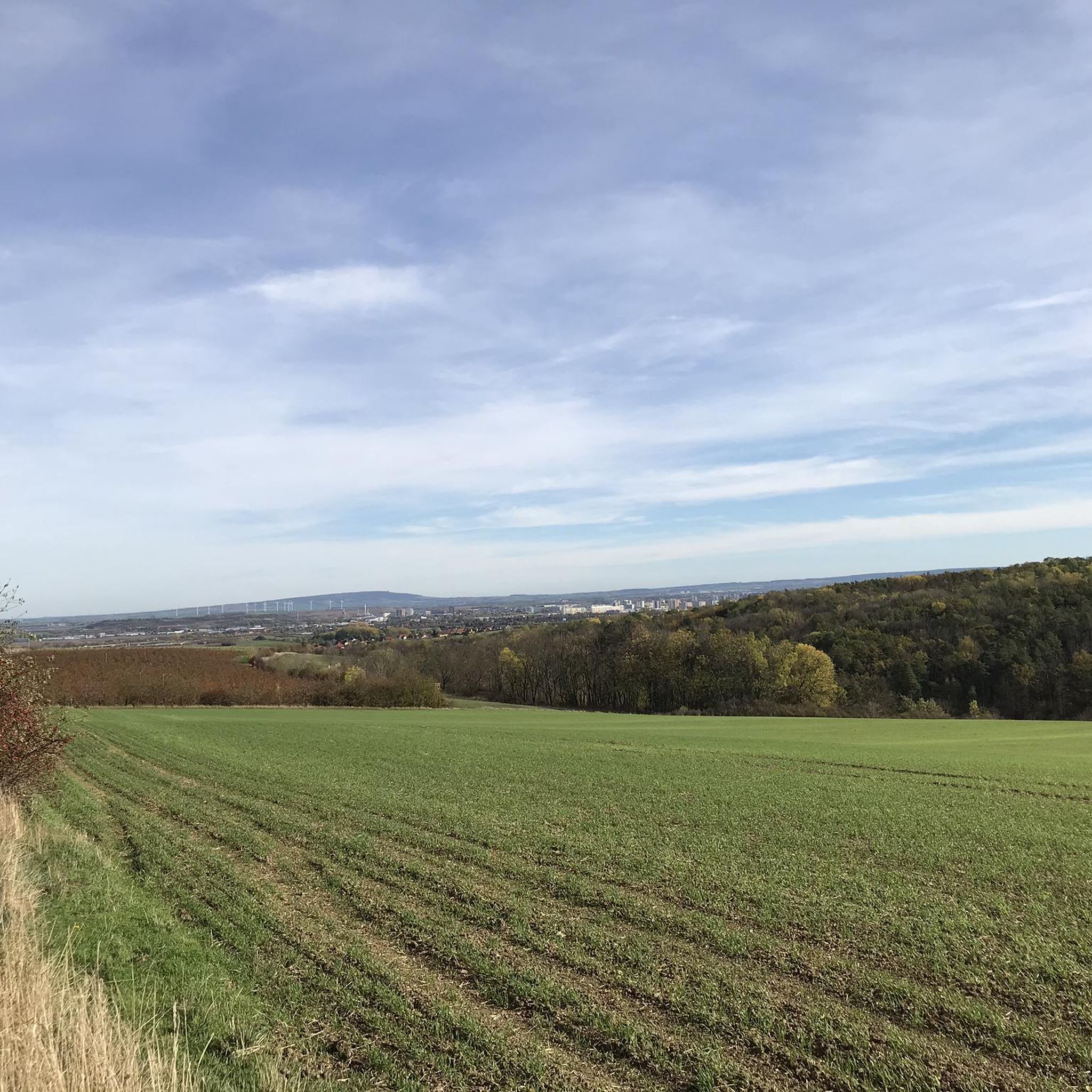

Tips from the Community

Great view from here over Erfurt.
0
0
Great and impressive view over Erfurt.
0
0

Historic viewpoint north of Erfurt, from which you have a wide view over the Thuringian Basin.
0
0

Those who have tortured themselves can enjoy the wonderful view...👍😉
0
0
Very nice view over Erfurt with a large meadow to take a break
0
0

A beautiful spot on earth. You can also enjoy beautiful sunsets here.
2
0

Frequently Asked Questions
What kind of elevated points can I expect around Witterda?
Witterda is characterized by a relatively low elevation, with the municipality itself sitting at approximately 220 to 314 meters above sea level. You'll find undulating terrain, small hills, and elevated viewpoints rather than towering mountain peaks. These spots often hold historical significance or offer panoramic views of the surrounding Thuringian Basin.
What are some notable elevated points or viewpoints to visit near Witterda?
You can explore several interesting spots. Schwellenburg Hill is a natural monument with historical significance, once a Stone Age settlement and vineyard site. Another popular spot is the View from Geiersberg, which is ideal for resting and enjoying the scenery. The View from Galgenberg is also a viewpoint with a rich history, suitable for a picnic.
Are there any historical sites among the elevated points around Witterda?
Yes, several elevated points have historical significance. Schwellenburg Hill was a Stone Age hilltop settlement and a site for vineyards. The
What kind of views can I expect from these elevated points?
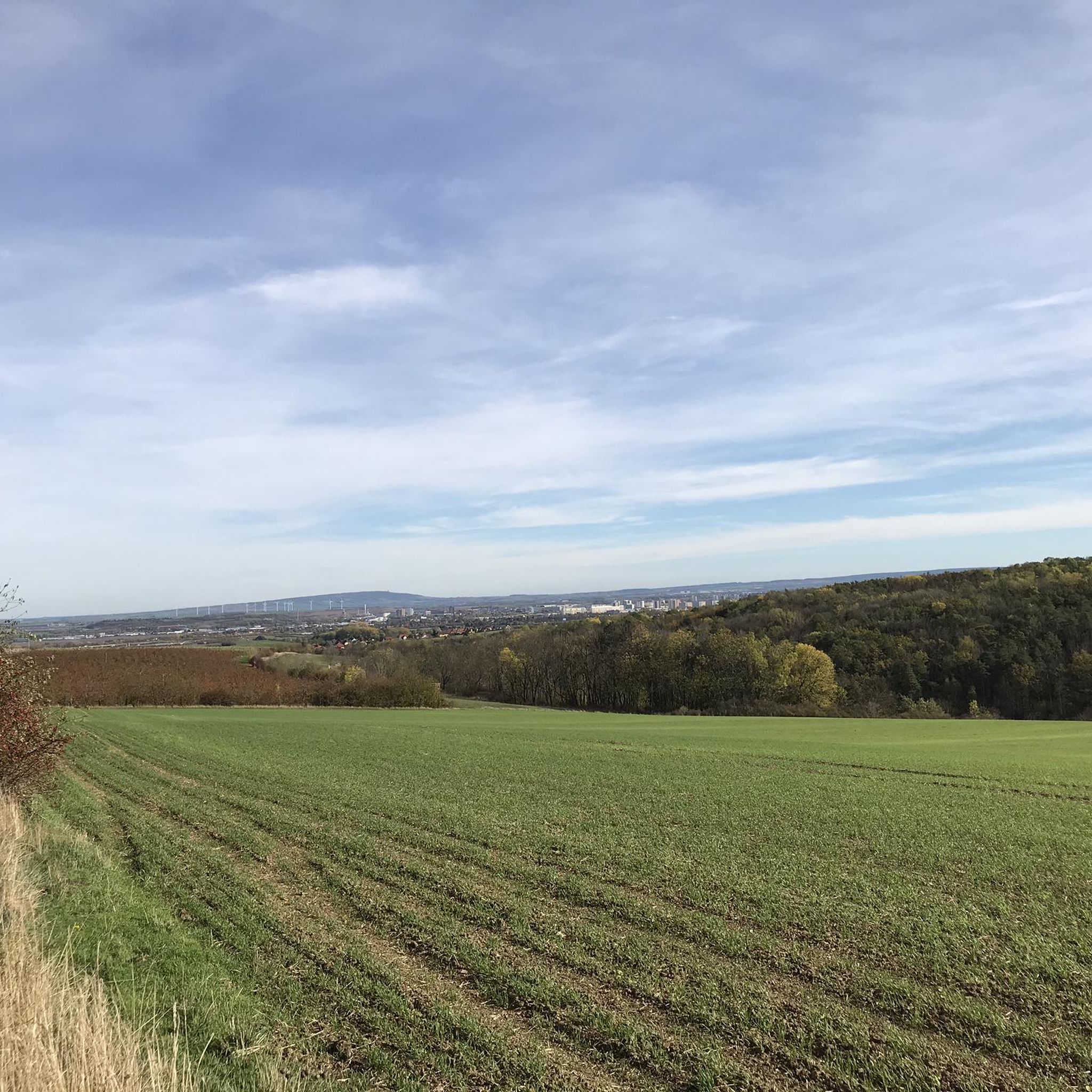
From spots like Schwellenburg Hill and View from Geiersberg, you can enjoy wide panoramic views over the Thuringian/Erfurt basin and the surrounding landscape. The Nödaer Warthe also offers a broad view over the Thuringian Basin.
Are there family-friendly elevated points or viewpoints near Witterda?
Yes, the View from Galgenberg is noted as family-friendly and is a good spot for a picnic. These locations generally offer accessible experiences for families to enjoy the outdoors and views.
What outdoor activities can I do near these elevated points?
The region around Witterda is excellent for hiking and mountain biking. You can find various routes, including easy and moderate options. For hiking, explore trails like the 'Hiking loop from Witterda' or 'View of the Thuringian Basin – Orphal Spring loop from Witterda'. For mountain biking, consider routes such as 'Krämerbrücke, Erfurt – Auenteich Pond with Fountain loop from Elxleben'. More details can be found in the Hiking around Witterda and MTB Trails around Witterda guides.
Are there easy hiking trails near Witterda's elevated points?
Yes, there are several easy hiking trails suitable for a relaxed outing. Examples include the 'Hiking loop from Witterda' (3.7 km) and the 'View of Gebesee and Straußfurt – View of the Thuringian Basin loop from Witterda' (6.7 km). You can find more easy options in the Easy hikes around Witterda guide.
What do visitors enjoy most about the elevated points around Witterda?
Visitors appreciate the panoramic views over the Thuringian Basin, the historical significance of sites like Schwellenburg Hill, and the opportunities for peaceful resting spots. Many enjoy the short but rewarding ascents that lead to beautiful vistas, often with the chance to spot local wildlife like sheep.
Is there a specific elevated point that was once a waste dump but has been recultivated?
Yes, the Summit of Roter Berg (Red Mountain) served as Erfurt's waste dump for many years before being recultivated. It's now a protected landscape element, known for its red Keuper rock and important dry grassland areas.
What is the highest point in the immediate vicinity of Witterda?
The Nödaer Warthe, at 192 meters, is the highest point in the village of Nöda, which is very close to Witterda. It serves as a historic viewpoint offering wide views over the Thuringian Basin.
Can I find circular walks that include these elevated points?
Yes, many of the hiking routes in the area are designed as circular walks, allowing you to visit these elevated points and return to your starting location. For example, the 'Hiking loop from Witterda' is a popular easy circular option. You can explore more circular routes in the Hiking around Witterda guide.
Most popular routes around Witterda
Most popular attractions around Witterda

Get inspired with the komoot mobile app


Explore more
See even more amazing summits around Witterda with these guides:
