The 3 Most Amazing Peaks around Mügeln
Best mountain peaks around Mügeln are found within a landscape characterized by gentle hills and forested areas, rather than traditional towering summits. Situated at an elevation of 157 meters, Mügeln offers various outdoor activities in its surrounding recreational areas. The geography around Mügeln features several elevated points that provide views and historical significance. These spots are popular for easy mountain hikes and exploring the local natural beauty.
Best mountain peaks around Mügeln
- The most popular mountain peaks is Albert Tower…
Last updated: July 11, 2026
Albert Tower on the Collmberg
Highlight • Monument
Translated by Google •
Tip by

Eicherdthöhe
Highlight • Monument
Translated by Google •
Tip by

Sign up now to discover places like this
Get recommendations on the best single tracks, peaks, & plenty of other exciting outdoor places.
Sign up for free
View of Collm Hill
Highlight • Viewpoint
Translated by Google •
Tip by

MB400 CP7 Collmberg - UP Cycling Team
Highlight • Summit
Tip by

View of Collm from Dahlen
Highlight • Viewpoint
Translated by Google •
Tip by

Start today with a free account
Your next adventure awaits.
Login or Signup
Popular around Mügeln


Tips from the Community

Cobblestone road up to the Albert Tower, MTB super...challenging with the racing bike
0
1

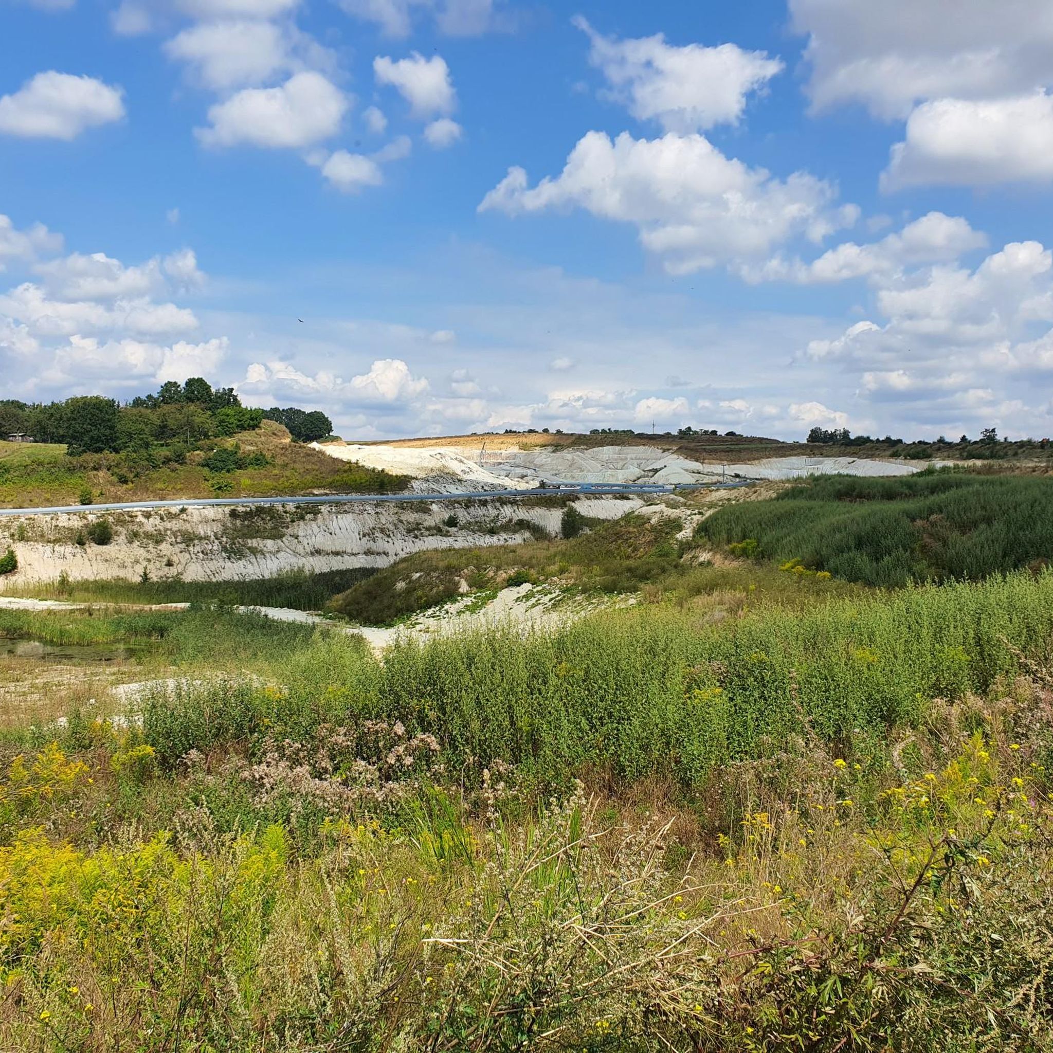
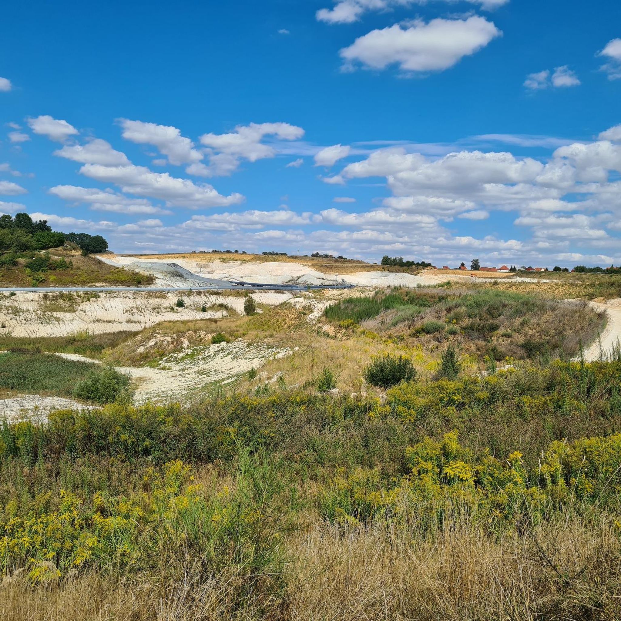
The Collm can be seen from afar. In front of the village of Collm you can see the course of the road high up Collm where there are trees without leaves.
0
0

UP Cycling Team from Leipzig provides a checkpoint right on top of the Collmberg, a Leipzig favourite for the hill-bereft city cyclists. Famous for its cobblestone surface, it's an absolute highlight for MB400 2023.
0
0

the mountain can be seen very well from different points
8
0

radio tower collm The Oschatz transmitter is a basic network transmitter of Deutsche Funkturm GmbH for broadcasting radio signals. It is located on the Collm six kilometers west of Oschatz. A 90 meter high reinforced concrete tower, which was built in 1960, was originally used as the antenna carrier. @wikipedia
5
1

When the weather is nice, you have a very wide view (among other things, you can see the Monument to the Battle of the Nations in Leipzig). To get to the tower, you have to overcome 102 steps.
6
2

The Eichardthöhe station of the Royal Saxon Triangulation is one of many measuring points in Saxony.
1
0

"The Royal Saxon Triangulation (here with the historical proper name) is a land survey carried out in the years 1862 to 1890 on the territory of the Kingdom of Saxony with simultaneous creation of a trigonometric network. The aim was to precisely record the national territory scientifically and geodetically and to create the basis for the production of precise maps by defining permanently marketed fixed points. " % C3% A4xian_triangulation From the Eichhardthöhe v.N. the following stations targeted: Collmberg, Hohenwussen, Schleinitzhöhe, Wetterhöhe, Reichenbachhöhe, Kreuz (Hartha, clearly recognizable by the large wind turbines), Deditzhöhe
1
0
Frequently Asked Questions
What kind of "mountain peaks" can I expect around Mügeln?
The area around Mügeln is characterized by gentle hills and forested landscapes, rather than traditional towering mountain peaks. You'll find elevated points, viewpoints, and historical sites that offer scenic vistas and opportunities for outdoor activities. Mügeln itself is situated at an elevation of 157 meters, with the highest point being the Collmberg at 312 meters.
Which are the most popular elevated points or viewpoints around Mügeln?
Among the most popular spots is the Albert Tower on the Collmberg, an 18-meter man-made monument offering panoramic views. Visitors also frequently enjoy the Eicherdthöhe, a historical measuring station with views over the Muldental, and various vantage points like the View of Collm Hill.
Are there family-friendly elevated points or viewpoints to visit near Mügeln?
Yes, several spots are suitable for family outings. The Eicherdthöhe is noted as family-friendly, offering historical interest and views. Additionally, the View of Collm Hill and View of Collm from Dahlen are also considered family-friendly viewpoints.
What historical sites can I explore among the elevated points?
The Albert Tower on the Collmberg is a significant historical site, built in 1854, offering insights into the region's past. Another notable historical spot is the Eicherdthöhe, which served as a measuring station for the Royal Saxon Triangulation between 1862 and 1890.
What outdoor activities can I do near these elevated points?
The area around Mügeln is excellent for various outdoor activities. You can find numerous routes for hiking, cycling, and even gravel biking. Many trails lead to or pass by the elevated viewpoints and historical sites.
Are there hiking trails near the elevated points around Mügeln?
Yes, there are many hiking trails. For example, you can find easy routes like the 'Alpacas in Remsa – Bench Near Rehsa and Wadewitz loop' or moderate ones such as the 'Fossil Lake Börtewitz – Petrified Lake Börtewitz loop'. You can explore more options on the Hiking around Mügeln guide.
What kind of views can I expect from the viewpoints?
From the Albert Tower on the Collmberg, you can enjoy panoramic views that, on clear days, extend to distant landmarks like the Monument to the Battle of the Nations in Leipzig. The Eicherdthöhe offers beautiful views over the Muldental to the Saxon granulite mountains, with good visibility reaching the Ore Mountains.
Are there challenging routes for experienced cyclists or hikers?
While the area is generally known for gentle hills, there are some challenging sections. For cyclists, the MB400 CP7 Collmberg offers a challenging cobblestone climb up to the Albert Tower, popular with mountain bikers and gravel riders. For hiking, you can find longer, more demanding routes within the Hiking around Mügeln guide.
What do visitors enjoy most about the elevated points around Mügeln?
Visitors particularly appreciate the wide, panoramic views from spots like the Albert Tower. The historical significance of sites like the Eicherdthöhe also draws interest. The overall appeal lies in the accessible nature of these elevated points, making them suitable for various outdoor activities and providing a chance to connect with nature and history.
Is there parking available near the trails leading to these elevated points?
While specific parking details for every trail are not listed here, many popular trailheads and viewpoints in the Mügeln area typically offer designated parking. It's advisable to check local signage or specific route descriptions on komoot for detailed parking information before your visit.
Can I see the Collmberg from different locations?
Yes, the Collmberg is quite recognizable and can be seen from various points in the surrounding landscape. The View of Collm Hill and View of Collm from Dahlen are specific viewpoints where you can get a good perspective of the Collm.
Most popular attractions around Mügeln

Get inspired with the komoot mobile app


Explore more
See even more amazing summits around Mügeln with these guides:
