The 3 Most Amazing Peaks around Salmtal
Best mountain peaks around Salmtal are found in a region characterized by rolling hills, dense forests, and riverine landscapes within the Wittlich Depression. While Salmtal itself has an elevation of 181 meters, the surrounding area offers numerous elevated points and hills. These locations provide scenic views and opportunities for hiking, showcasing the natural beauty of the Eifel and Moselle regions. The broader district features higher elevations, with trails leading to various viewpoints.
Best mountain peaks around Salmtal
- The most popular…
Last updated: October 14, 2026
Kellerberg Observation Tower
Highlight • Viewpoint
Translated by Google •
Tip by

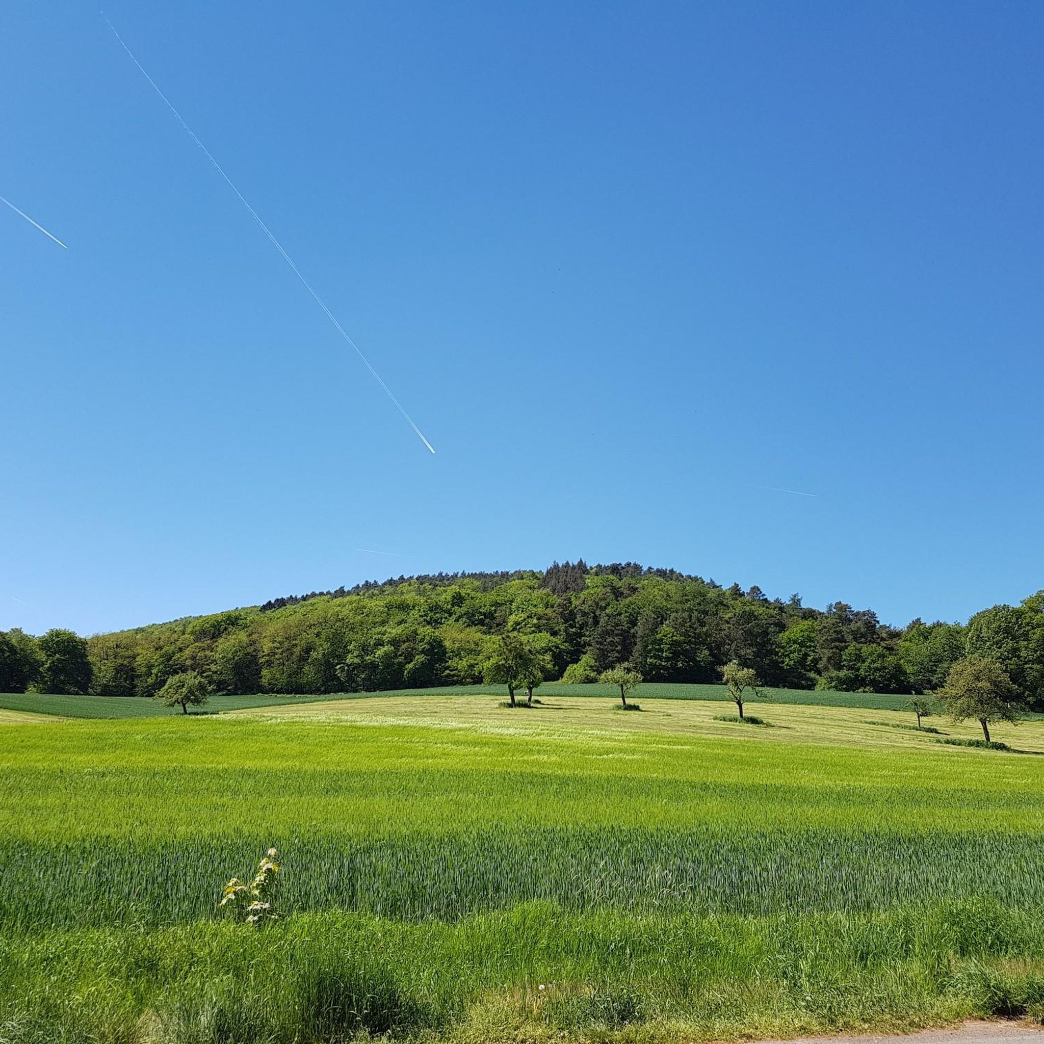
Neuerburger Kopf 🌄🏔️🤓 #homehill #summit 🚵♂️🏃♂️❤️
Highlight • Viewpoint
Translated by Google •
Tip by

Sign up now to discover places like this
Get recommendations on the best single tracks, peaks, & plenty of other exciting outdoor places.
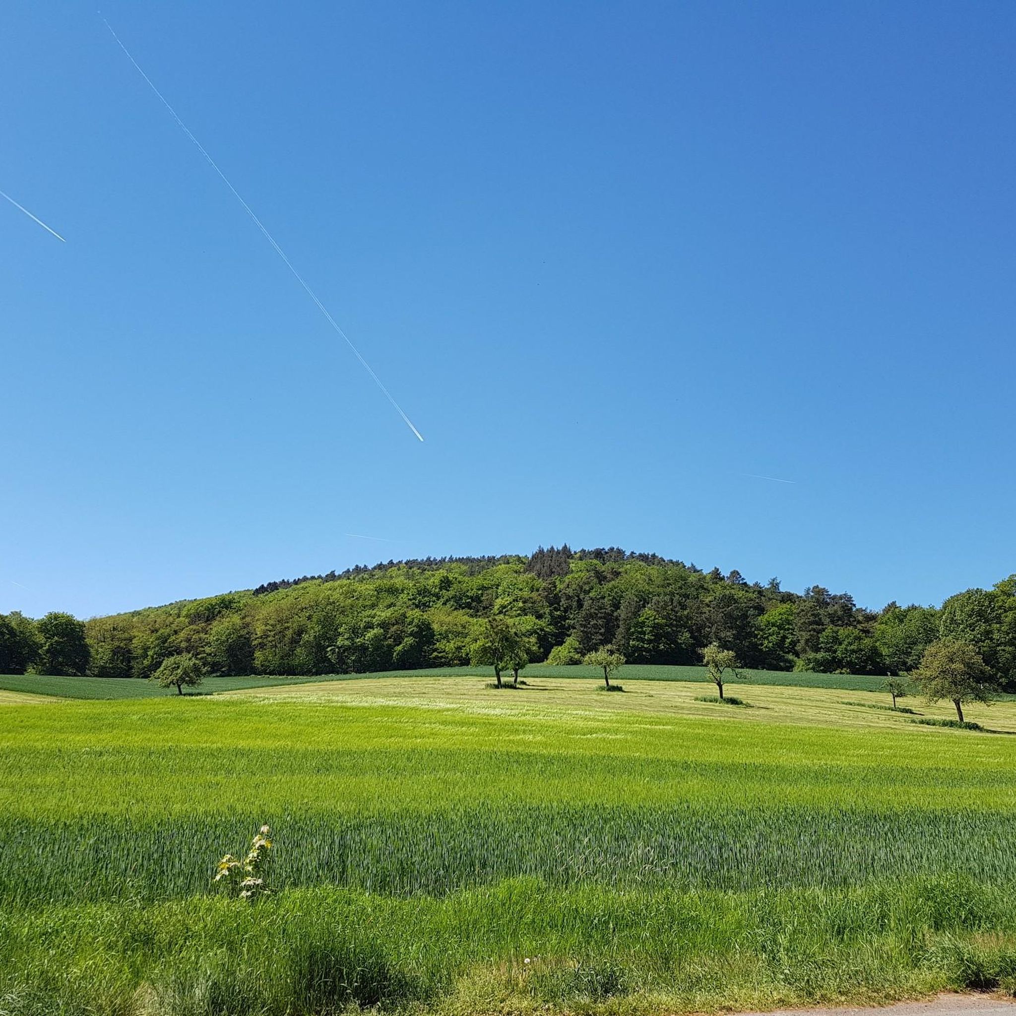
Alpine meadow Scheuerhof 🐄🐷🌄❤️
Highlight • Viewpoint
Translated by Google •
Tip by

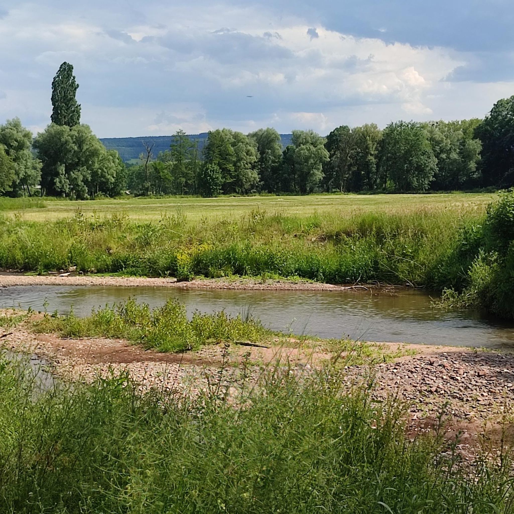
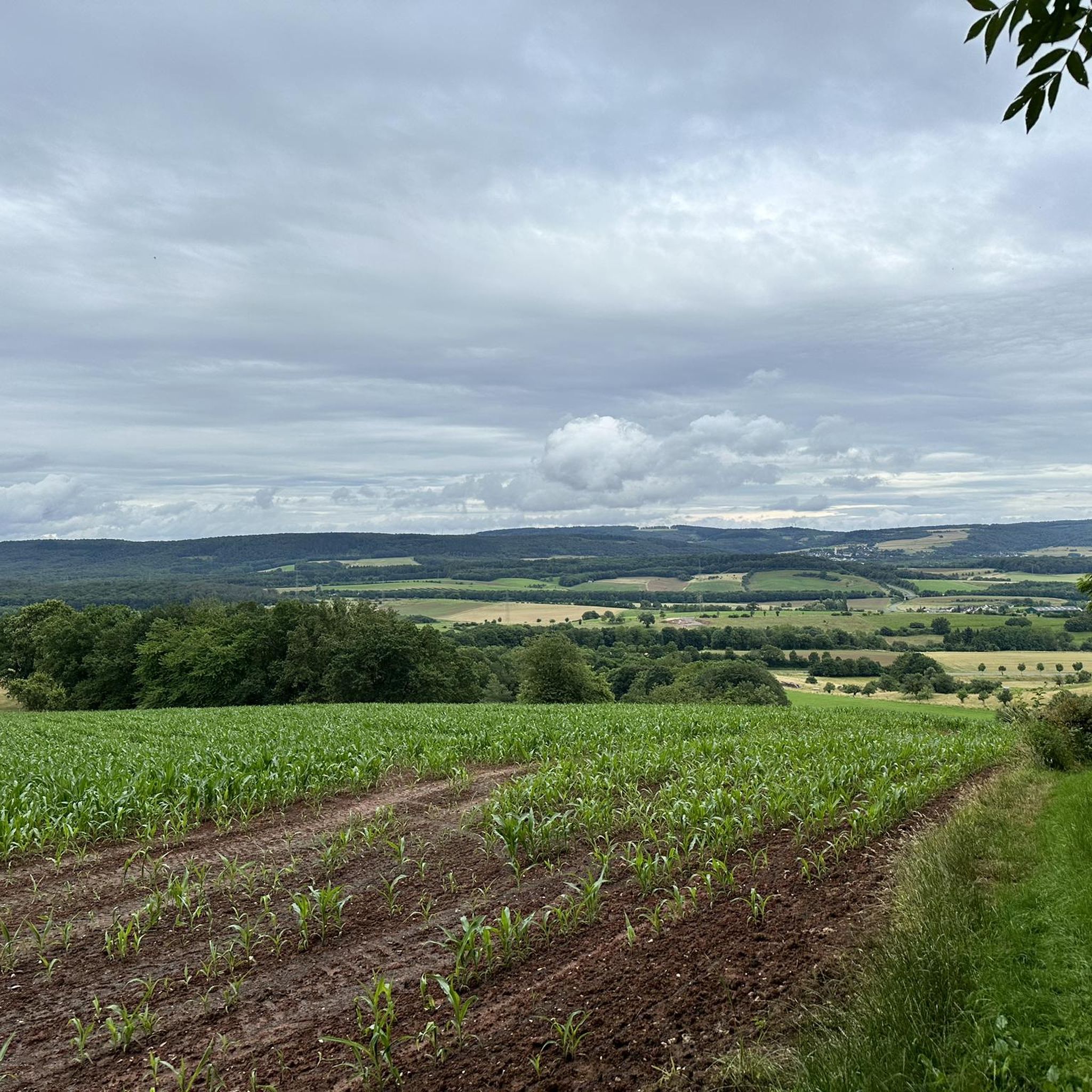
View of Erbeskopf, Highest Peak in Rhineland-Palatinate
Highlight • Viewpoint
Translated by Google •
Tip by

Start today with a free account
Your next adventure awaits.
Tips from the Community

The Neuerburger Kopf is a volcano that became extinct 10 million years ago. There is a shelter on the summit. Below the summit, there is a place of prayer (cross) in nature.
0
0

Perfect spot for a circular hike up Neuerburger Kopf. You can see goats, sheep, pigs, and the large herd of cattle from the Scheuerhof farm all around. A lovely savannah feeling! ❤️
1
0
Trail up to the cross, then a final sprint and then back down the wide path with the great view. Fun! 🌄🏃♂️📯
1
0

You have to know it, otherwise you won't notice it. The mountain is quite far away.
1
0

Great to ride up on a mountain bike. But it's better to push the last 10m
2
0

The volcanic cone was formed 108 million years ago. Magma penetrated the Devonian sandstone layers and solidified below the earth's surface. This passage or chimney made of hard basalt protected the surrounding sandstone from erosion, leaving the conical shape of the Neuerburger Kopf, which is still clearly visible today. Classified as belonging to the Cretaceous period, the Neuerburger Kopf and the neighboring Lüxeberg are the oldest volcanic features in the Eifel. The Neuerburger Kopf was formerly called Merkuriusberg (Mercurius, Roman god of trade). The former name is explained by the Roman trade and military roads that crossed next to it. The current name refers to a castle. Archbishop Albero (1131-1152) had a "novum castrum" (= new castle) built, which was completed in 1168 by Archbishop Hillin and expanded by Archbishop Henry II (1260-1286). The castle was used primarily to collect customs duties on the neighboring trade route and was one of the seven castles of the Electorate of Trier, along with Manderscheid, Arras, Saarburg, Grimburg, Welschbillig and Ehrenbreitstein. The last inhabitants of Hatzdorf, which had been ravaged by the plague and abandoned, settled under the protection of the castle and founded the village of Neuerburg. Neuerburg Castle was most likely destroyed in 1689 by the French Marshal François de Créquy, who also had Wittlich destroyed from Mont Royal. Today only a few remains of the walls can be found.
2
0

The tower is still closed, a decision on how to proceed has not yet been made. Hikes through the eventful Meulenwald, even without climbing the tower, are always recommended.
1
0

The ski slope is clearly visible
0
1
Frequently Asked Questions
What kind of mountain peaks can I expect to find around Salmtal?
Salmtal is situated in a region of rolling hills and river valleys rather than towering mountains. The 'peaks' here are elevated points and hills that offer scenic views and excellent hiking opportunities. You'll find diverse landscapes, including forested areas and viewpoints overlooking the Salm river valley and surrounding countryside.
Are there any historical sites on or near these elevated points?
Yes, the Neuerburger Kopf is a notable historical site. This striking elevated point, visible from afar, once hosted a robber baron's castle and later a castle built by the Electorate of Trier. Though mostly destroyed in 1689, some wall remains can still be found, telling a story that dates back to the 13th century.
Which viewpoints offer the best panoramic views of the region?
The Kellerberg Observation Tower near Dierscheid provides an excellent view from its 22-meter height, especially on clear days. Additionally, the Neuerburger Kopf offers expansive vistas over the Wittlich depression. For a unique perspective, the View of Erbeskopf highlight allows you to spot the highest peak in Rhineland-Palatinate from a distance.
Are there family-friendly options for exploring the elevated areas around Salmtal?
Absolutely! The Alpine meadow Scheuerhof is a perfect spot for a family-friendly circular hike, where you can see goats, sheep, pigs, and a large herd of cattle. For hiking, the "Hexengraben – Dörbach Shelter loop" is an easy 4.2-mile (6.8 km) trail that explores local forest paths and shelter areas, ideal for families. You can find more family-friendly routes in the Family-friendly hikes around Salmtal guide.
What kind of hiking trails are available near these elevated points?
The region offers a variety of hiking trails, from easy forest paths to moderate loops with significant views. For example, the "View over Salmtal – View of Klausen loop" is a moderate 5.7-mile (9.2 km) path, and the "Forest view from Asberg – View over Salmtal loop" is an 8.4-mile (13.5 km) trail through forested areas. You can explore more options in the Easy hikes around Salmtal guide.
Can I cycle near the elevated areas of Salmtal?
Yes, there are several cycling routes available. For instance, the "Salmrohr Climbing Wall – Salmtal Cycle Path loop" is a difficult 36 km route, while the "Chapel Near Dreis – Pathway to Wittlich loop" is an easy 15.5 km option. More cycling routes can be found in the Cycling around Salmtal guide.
What natural features can I observe while exploring the elevated points?
You'll encounter diverse natural features, including dense forests, rolling hills, and the picturesque Salm river valley. The Neuerburger Kopf itself is a volcanic cone composed mainly of sandstone and basalt, dating back 108 million years, making it one of the oldest volcanic features in the Eifel region.
What is the best time of year to visit Salmtal for hiking and views?
While specific seasonal data isn't available, the region's rolling hills and forests suggest that spring and autumn would offer pleasant temperatures and beautiful scenery, with blooming flora or vibrant fall foliage. Summer is also suitable, though it might be warmer. Winter hiking is possible, but conditions can vary.
What are some easy hiking routes for beginners near Salmtal's elevated areas?
Beginners can enjoy routes like the "Hexengraben – Dörbach Shelter loop" (6.7 km) or the "Pillory cross at the village well loop" (5.9 km), both categorized as easy. These trails offer a gentle introduction to the region's natural beauty without significant elevation challenges. Check the Easy hikes around Salmtal guide for more options.
What do visitors enjoy most about the elevated areas around Salmtal?
Visitors appreciate the rewarding views of the Salm river valley, dense forests, and surrounding countryside. The diverse landscapes, including sandstone cliffs and vineyards, along with the tranquility of the natural experience, are frequently highlighted. The opportunity to combine hiking with historical exploration, like at Neuerburger Kopf, also adds to the appeal.
Most popular routes around Salmtal
Most popular attractions around Salmtal

Get inspired with the komoot mobile app


Explore more
See even more amazing summits around Salmtal with these guides:
