The 7 Most Amazing Peaks around Hochdorf
Mountain peaks around Hochdorf, located in the Seetal valley within the canton of Lucerne, offer diverse outdoor experiences. While Hochdorf itself is characterized by gentle terrain, the broader region provides access to significant mountain ranges. The area is known for its natural landscapes and serves as a gateway to more prominent Swiss peaks. This makes it a suitable starting point for exploring both local hills and more challenging alpine environments.
Best mountain peaks around Hochdorf
- The most popular mountain peaks is Highest Point of Lindenberg (681 m), a summit known for easy bike and bicycle tours. Its name, derived from "lind" meaning "soft," reflects its gentle slopes and numerous springs.
- Another must-see spot is Rothenburg Town Center, a settlement with historical significance. This municipality is part of the Lucerne agglomeration and features agricultural land, forests, and settlement areas.
- Visitors also love Stiefeliryter Inn and Open-Air Museum, Hämikerberg, a restaurant and cultural center. It originated in 1965 and offers a unique blend of dining and historical exhibits.
- Hochdorf is known for gentle hills like the Lindenberg and provides access to prominent mountains such as Pilatus, Rigi, and Titlis. The region offers a variety of mountain peaks to see and explore, from accessible ridges to high alpine summits.
- The mountain peaks around Hochdorf are appreciated by the komoot community, with more than 380 upvotes and over 110 photos shared by visitors.
Last updated: July 7, 2026
Highest point of the Lindenberg (878 m)
Highlight • Summit
Translated by Google •
Tip by

Rothenburg Town Center
Highlight • Settlement
Canton of Lucerne.
The municipality is part of the agglomeration of the city of Lucerne and west of the A2 for the most part industrial area. The southern boundary of the municipality to Emmen runs along the Hellbühler Rotbachs for a few kilometers, from there to the Rothenburgerwald and along the Rütibächli, which opens from the left into the Waldibach. This forms in a left loop the east and north border to the castle forest, whose southern part belongs to Rothenburg. In this forest, the municipal boundary leads to the north, but still turns west there to Sandblattenwald southwest of Rain. Then it goes southwest back to the industrial area on the A2.
At the municipal border to Neuenkirch in the northwest lies the Bertiswilerwald.
The municipality consists of the village north of the Hellbühler Rotbachs and the opening into it Butzibachs with different quarters. The largest of these is Bertiswil. In addition to the area west of the A2, there are only groups of houses and individual farms.
Of the municipal area of 1552 ha, more than two thirds (67.8%) are used for agriculture. One sixth (16.6%) is covered by forest and woodland and 15.5% is settlement area.
Rothenburg borders Emmen, Eschenbach LU, Neuenkirch and Rain.
The first indirect mention was the community around 1130, as a document in a Walther von Rodemburg appears. The barons of Rothenburg were one of the most powerful and belligerent families in the region and maintained intensive hostility to Lucerne.
Translated by Google •
Tip by

Sign up now to discover places like this
Get recommendations on the best single tracks, peaks, & plenty of other exciting outdoor places.
Sign up for free
Mosen Railway Station
Highlight • Rest Area
Beautiful in all seasons and can always be shortened by train or ship.
The S-Bahn runs about once an hour and not quite as far as Hallwil Castle, you have to change to the bus. The castle can be reached more quickly on foot than waiting for the bus. If you want to take a short cut with the ship, be sure to follow the course plan, because the ship does not sail in all seasons and in all weather conditions. More at: schifffahrt-hallwilersee.ch
Translated by Google •
Tip by

Stiefeliryter Inn and Open-Air Museum, Hämikerberg
Highlight • Restaurant
April 2017 opens on the site the first game! Golf facility in Switzerland. After the successful renovation of the inn, the owners take over the operation of the entire facility.
Translated by Google •
Tip by

St. Martin Church and Festive Arch, Müswangen
Highlight • Religious Site
Translated by Google •
Tip by

View of the Alps from the Lake
Highlight • Viewpoint
Translated by Google •
Tip by

Start today with a free account
Your next adventure awaits.
Login or Signup
Popular around Hochdorf

Hope 1000 – Bikepacking Switzerland in 11 stages
The Herzroute – Cycling through the heart of Switzerland
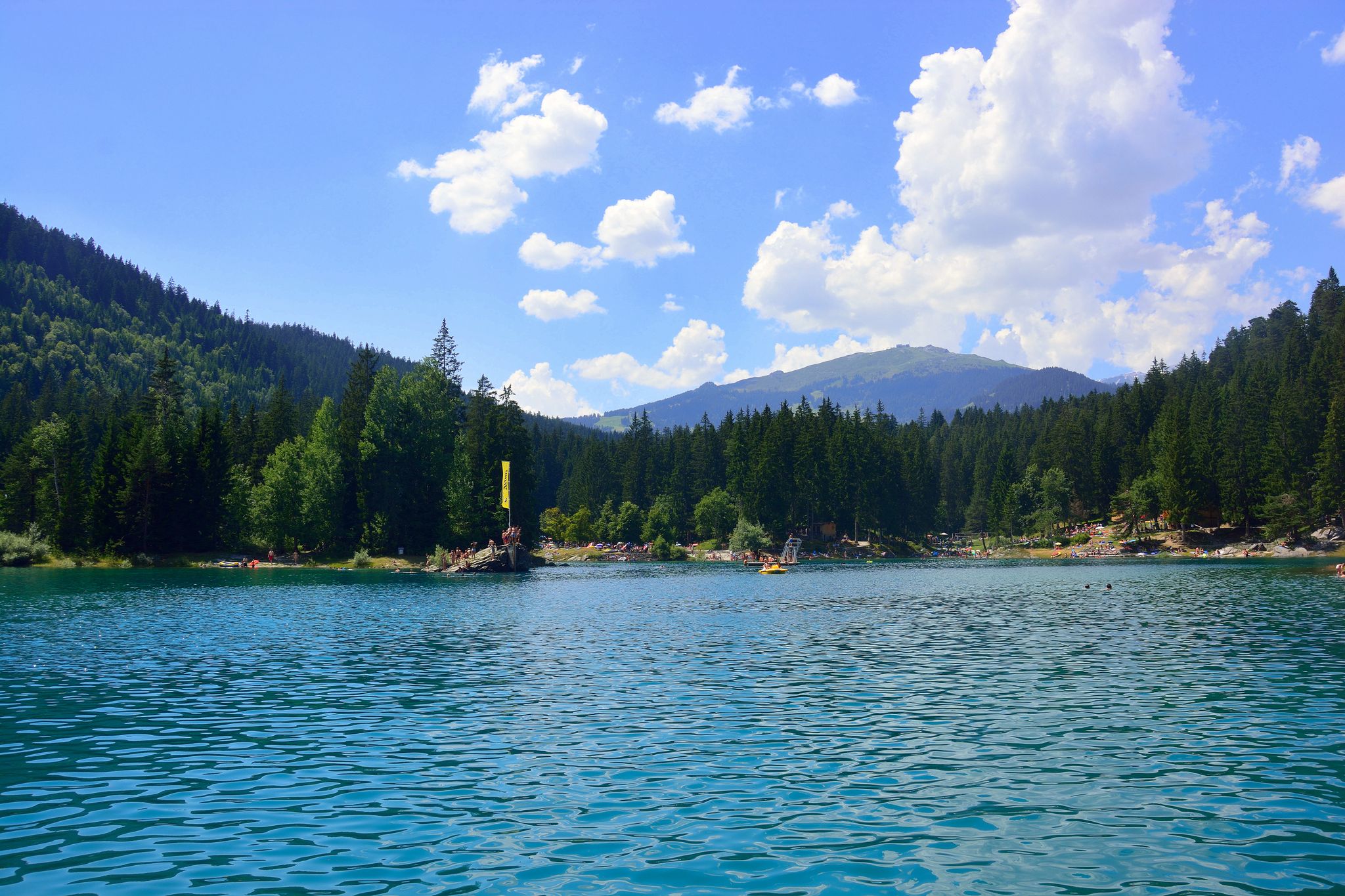
The most beautiful swimming lakes in Switzerland
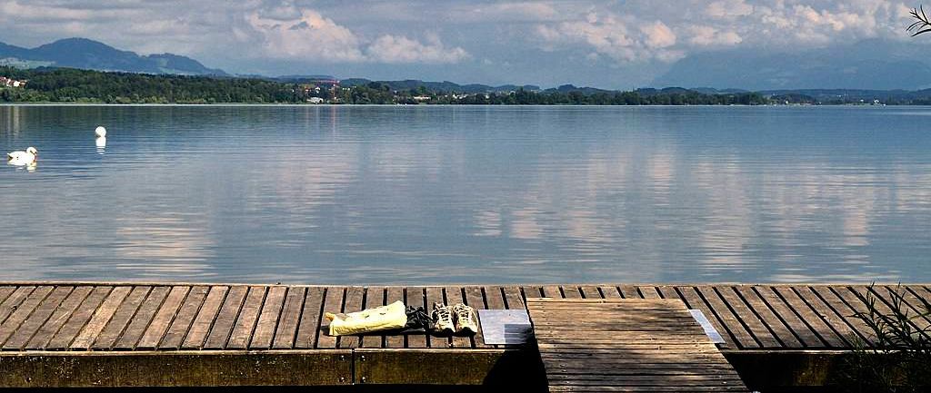
The most popular swimming spots around Zurich
Mehr laufen in Luzern: Trainingsstrecken für jedes Level
Grand Gourmet Rides in der Schweiz
Schottergenuss und Gaumenschmaus – Grand Gourmet Rides durch die Schweiz
Hiking around Hochdorf
Cycling around Hochdorf
Running Trails around Hochdorf
Other adventures around Hochdorf


Tips from the Community

Inconspicuous and without view, easily accessible on simple forest paths
1
0

Lindeberg Trail, the easy access, it was worth the effort.
1
0
Top of Lindenberg is a must for an AG biker to climb at least once a year
2
0

Alpine views and little traffic on side roads
1
0
Always nice to visit Top of Lindenberg
1
1

Ideal starting point for many activities in the Hallwilersee/Baldeggersee region. E.g. excursion to Beinwil, access to the Freiämterweg, scheduled boat Hallwilersee...
0
0

Very easy (to climb) the highest point
3
0

Beautiful view 🤩 to the queen of the mountains (the Rigi, 1'798m) and the Alps 🏔️ with many 3'000m peaks, such as Fleckistock, the Sustenhorn and the Dammastock 👌
0
0
Frequently Asked Questions
What are the primary mountain peaks or elevated areas directly accessible from Hochdorf?
The most prominent elevated area directly accessible from Hochdorf is the Highest Point of Lindenberg (681 m). It's known for its gentle slopes, making it ideal for easy bike and bicycle tours. While not a towering peak, it offers a pleasant natural experience with numerous springs.
What are some significant mountain experiences available in the wider Lucerne region, accessible from Hochdorf?
From Hochdorf, you can access several impressive mountains in the broader Lucerne region. These include Mount Pilatus (2,128 m), famous for its cogwheel railway and panoramic views; Mount Rigi, known as the 'Queen of the Mountains' with extensive hiking trails; and Mount Titlis (3,238 m), offering year-round glacier experiences and the world's first rotating cable car. Bürgenstock and Stanserhorn also provide unique cable car rides and stunning lake views.
Are there family-friendly hiking options around Hochdorf?
Yes, the region offers family-friendly options. The Highest Point of Lindenberg (681 m) is suitable for easy bike and bicycle tours, which can be enjoyed by families. Additionally, the wider Lucerne region has attractions like 'Rigiland' on Mount Rigi with a children's playground, and many of the highlights like Stiefeliryter Inn and Open-Air Museum, Hämikerberg are marked as family-friendly.
What kind of natural features can I expect to see around Hochdorf's elevated areas?
Around Hochdorf, particularly on the Lindenberg, you'll find gentle natural landscapes characterized by numerous springs and soft slopes. The area can be quite wet after rain. From elevated viewpoints like St. Martin Church and Festive Arch, Müswangen, you can enjoy views of Hallwilersee and Baldeggersee. The wider region offers spectacular panoramic views of Alpine peaks and lakes from mountains like Rigi and Pilatus, and glacier landscapes on Titlis.
Are there historical or cultural sites near the mountain peaks around Hochdorf?
Yes, there are. The Rothenburg Town Center is a settlement with historical significance, being part of the Lucerne agglomeration. Another notable site is the Stiefeliryter Inn and Open-Air Museum, Hämikerberg, which originated in 1965 and offers a blend of dining and historical exhibits.
What outdoor activities, besides mountain peak visits, can I do near Hochdorf?
Near Hochdorf, you can enjoy various outdoor activities. There are several waterfall hikes, with routes like the Lindenbach Gorge loop. Cycling is also popular, with options ranging from easy to difficult, such as the Seetal and Wynental Loop. For more relaxed outings, explore easy hikes around the area, including routes with views of the Alps or local lakes.
What are some popular hiking trails around Hochdorf?
For easy hikes, consider routes like the Balmmoos Moor Pond loop or the View of the Central Swiss Alps loop from Römerswil LU. The Lindenberg itself offers pleasant trails, ideal for easy bike and bicycle tours. For more specific hiking options, you can explore easy hikes around Hochdorf or waterfall hikes in the vicinity.
How can I access hiking trails and mountain peaks around Hochdorf using public transport?
Public transport is available to various starting points. For instance, Mosen Railway Station serves as a good starting point for tours around Lake Hallwil or Baldeggersee, which can connect to hiking routes. While the S-Bahn runs about once an hour, some routes might require a bus connection or a short walk from the station. Always check local schedules for specific routes.
What do visitors particularly enjoy about the mountain peaks and surrounding areas of Hochdorf?
Visitors appreciate the diverse experiences available. The Highest Point of Lindenberg (681 m) is enjoyed for its accessibility and suitability for easy bike and bicycle tours. The wider region's mountains like Pilatus and Rigi are loved for their spectacular panoramic views and unique mountain railway experiences. The community has shared over 110 photos and given more than 380 upvotes for the highlights in the area, indicating a strong appreciation for its natural beauty and recreational opportunities.
Are there any specific viewpoints to look out for on the Lindenberg?
While the Lindenberg itself is a gentle ridge, it offers pleasant views of the surrounding Seetal valley. From locations like St. Martin Church and Festive Arch, Müswangen, situated below the Lindenberg, you can enjoy views of the Hallwilersee and Baldeggersee. The overall experience on the Lindenberg is more about its soft, natural landscape and easy trails rather than dramatic, high-altitude panoramic vistas.
Can I find places to eat or stay near the hiking trails around Hochdorf?
Yes, there are options for refreshments and accommodation. The Stiefeliryter Inn and Open-Air Museum, Hämikerberg, for example, is a restaurant and cultural center that offers dining. The municipality of Hochdorf itself and nearby towns provide various cafes, pubs, and accommodation options for visitors exploring the region's trails and peaks.
Most popular routes around Hochdorf
Most popular attractions around Hochdorf

Get inspired with the komoot mobile app


Didn’t find what you were looking for?
Discover Hochdorf’s best peaks and summits by region:
Explore more
See even more amazing summits around Hochdorf with these guides:
