The 4 Most Amazing Peaks around Bembridge
Best mountain peaks around Bembridge are characterized by elevated areas known as "downs" rather than traditional mountains. These downs, such as Bembridge Down and Culver Down, offer panoramic views of the coastline, the Solent, and the English countryside. The region provides various walking experiences, from easy strolls to more challenging hikes, often incorporating historical sites and natural beauty. Elevations like Bembridge Down reach 104 meters, while the highest point on the Isle of Wight, St Boniface Down, is nearby.
Best…
Last updated: October 5, 2026
Bunkers on Ventnor Downs
Highlight • Monument
Tip by

Shanklin Down Summit View
Highlight • Summit
Tip by
Sign up now to discover places like this
Get recommendations on the best single tracks, peaks, & plenty of other exciting outdoor places.
View of St Boniface Down
Highlight • Viewpoint
Tip by

Start today with a free account
Your next adventure awaits.
Tips from the Community

The route down to Steephill cove will require pushing the bike down a steep narrow tarmac path
0
0
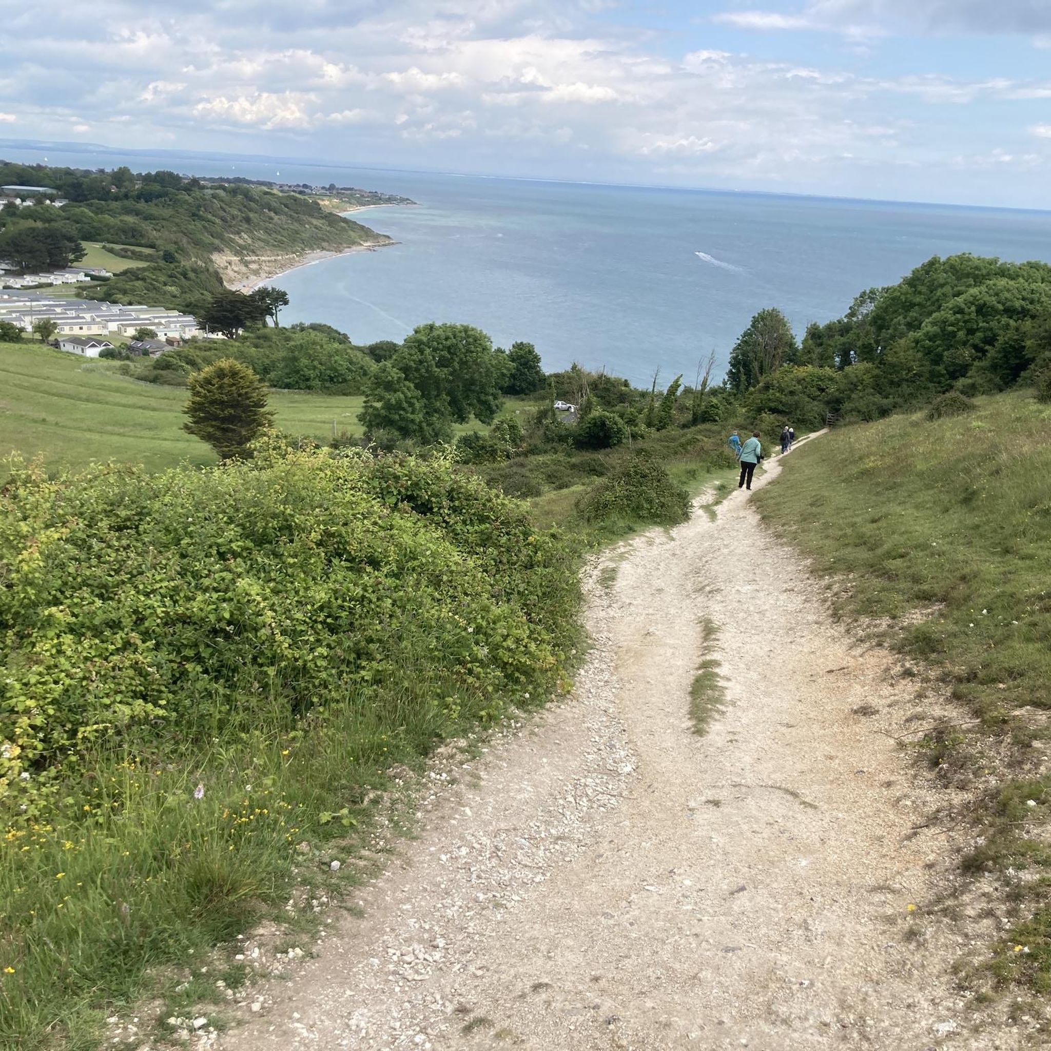
The climb is a bit steep, but the views are expansive, over land and sea. Don't be afraid, just respect the cows, goats, and dogs. Today they were all friendly and well-disposed.
0
0

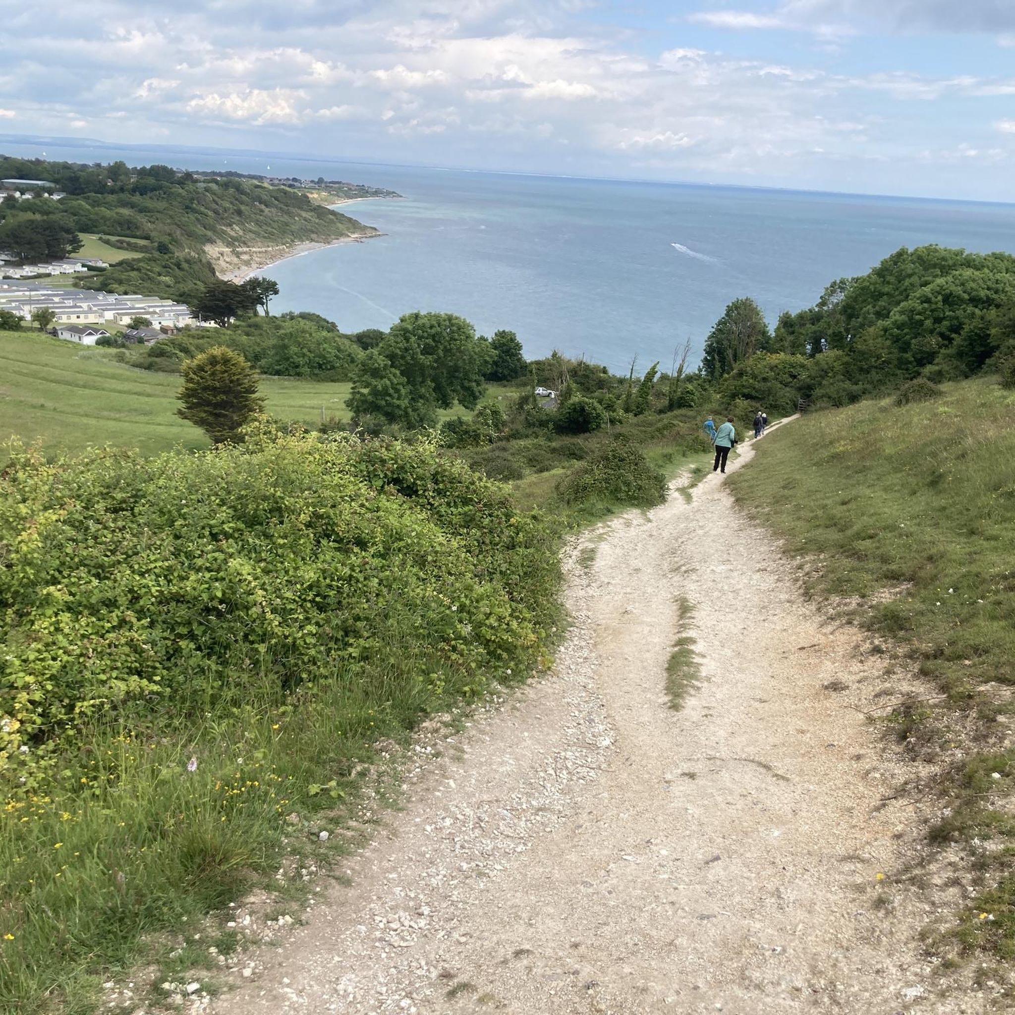
It's high, but it's worth the climb. On a good day you can see all the way to the Isle of Portland to the west and even to France to the south. St Boniface Down is home to the highest point on the Isle of Wight. The trig point, just north of here stands at 241m.
0
0
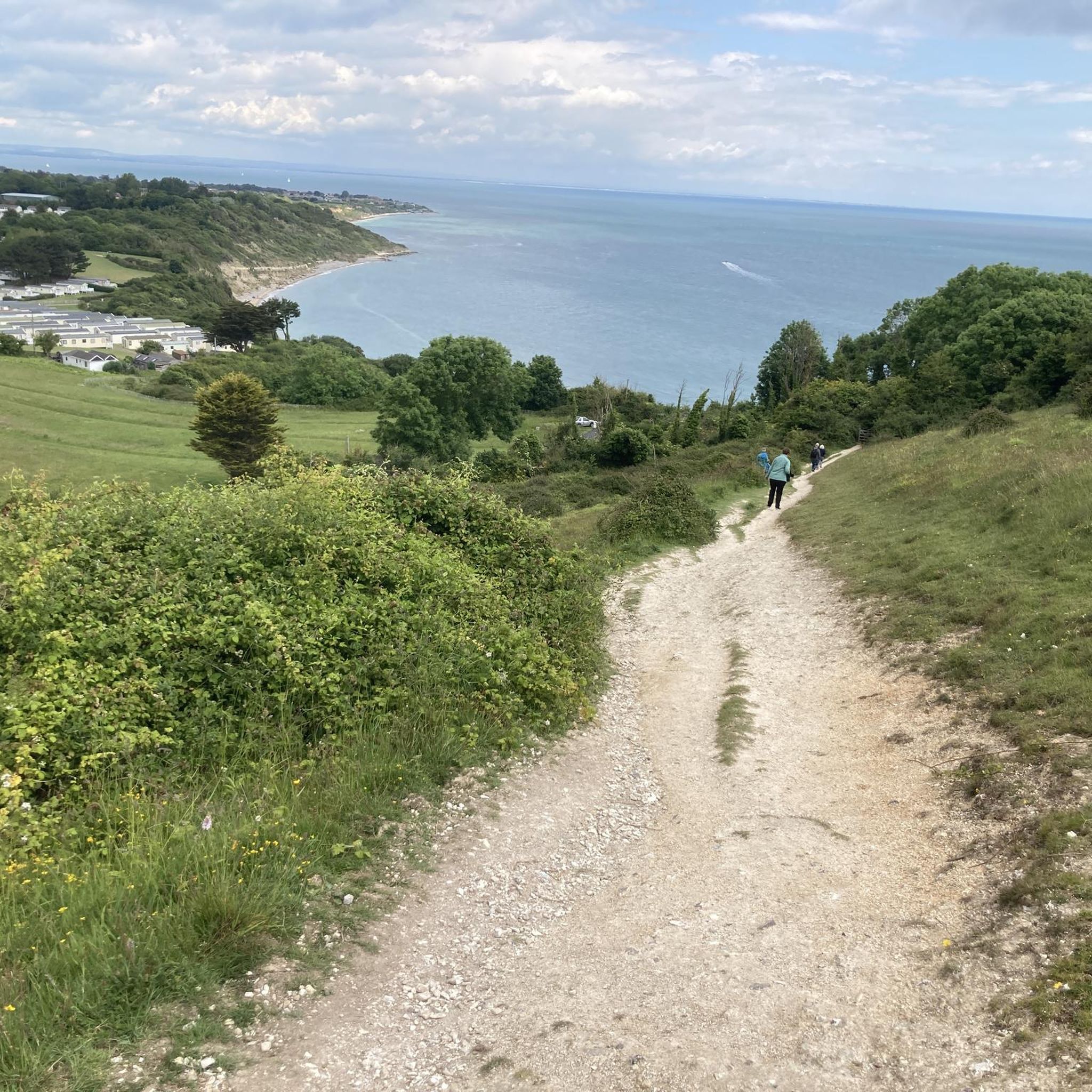
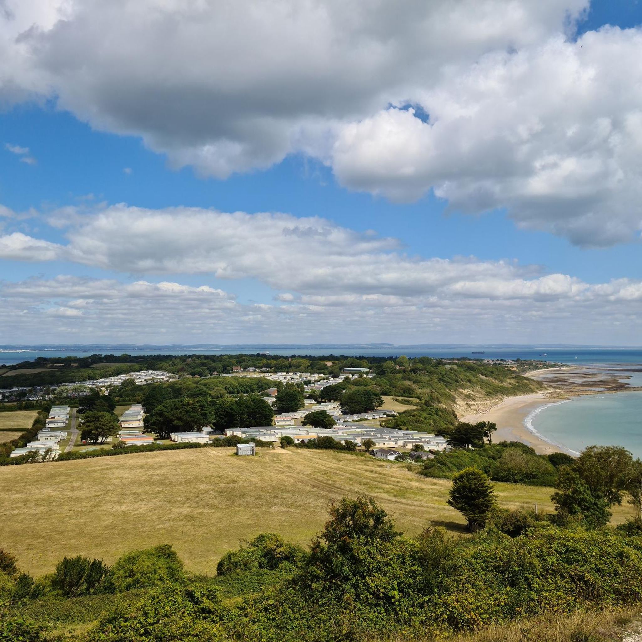
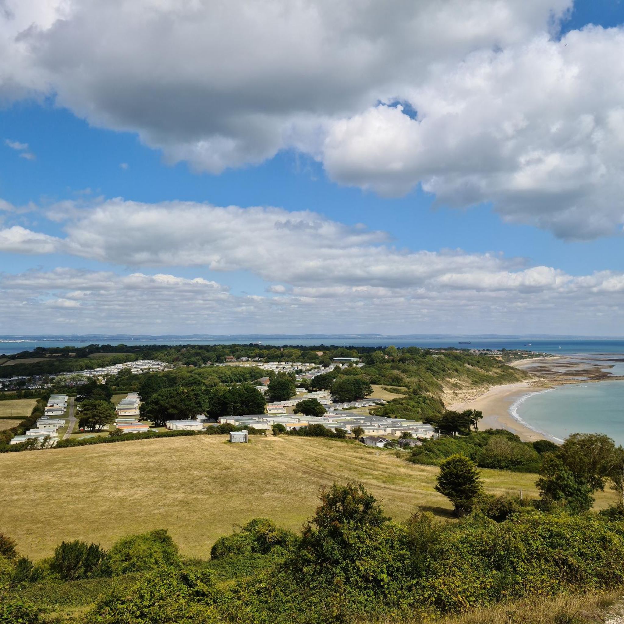
Arguably one of the best views on the Isle of Wight, from Shanklin Down you can see all the way out to the Nab Tower lighthouse in the east, out to the Needles Headland in the west and even over the Solent to the mainland.
0
0

Great Views across Shanklin and Sandown Bay to Culver Cliff in the distance
1
0

This group of downs contains the Island's highest point (St Boniface Down), and is a large area of Access Land owned by the National Trust. In the 1km (0.6 miles) between the highest point and the coast, perched on the steep slopes, is the town of Ventnor (part of the largest urban landslide complex in Northern Europe). The highest point itself is occupied by Ventnor Radar Station, so you can't go and stand on it. However, the benefit of this is that there is a (rather steep) access road right up to the top, with lots of (free!) places to park along its length. The road continues (unmade) beyond the radar station to Bonchurch Down, where there is another viewpoint and car park.
0
0
Shanklin Down offers, perhaps, the widest view of any summit on the Island. It's just a few metres shy of the Island's highest point (which is St Boniface Down; just a pleasant stroll along the ridge from here). From the trig. point which marks its summit, you can see right across East Wight and out to the Nab Tower lighthouse off the Island's eastern coast; across Central Wight and all the way out to the Needles Headland (the Needles themselves are just out of view behind the cliff that sticks out); across the Ventnor Downs to the Pepperpot (on another peak just shy of the highest point); and over the Solent to Portsmouth and Southampton.
1
0
Frequently Asked Questions
What are the most prominent elevated areas or 'peaks' near Bembridge?
While Bembridge doesn't have traditional mountain peaks, it is surrounded by notable elevated areas known as 'downs' that offer stunning views. The most prominent are Bembridge Down and Culver Down. The highest point on the Isle of Wight, St Boniface Down, is also accessible and offers incredible vistas.
What kind of views can I expect from the downs around Bembridge?
The downs offer exceptional panoramic views. From Shanklin Down Summit View, you can see across East Wight to the Nab Tower lighthouse, Central Wight to the Needles Headland, and over the Solent to Portsmouth and Southampton. From St Boniface Down, on a clear day, you might even see as far as the Isle of Portland to the west and France to the south.
Are there historical sites or landmarks on these elevated areas?
Yes, both Bembridge Down and Culver Down have historical significance. Bembridge Down features the remains of a Victorian fort. On Culver Down, you can find the Earl of Yarborough Monument and historical sites like Bembridge Fort. The nearby Bembridge Windmill is also a significant historical landmark.
What hiking trails are available near Bembridge's downs?
There are numerous footpaths and bridleways. Popular options include the 'Bembridge and Culver Downs Trail' and the 'Circumnavigate Culver Down Trail'. You can find more hiking routes, including sections of the Isle of Wight Coastal Path, in our guide to Hiking around Bembridge.
Are there family-friendly walking options around Bembridge's elevated areas?
Yes, many of the walks on the downs are suitable for families. For example, the 'Bembridge loop via Bembridge Windmill' is an easy route. The 'Circumnavigate Culver Down Trail' is also considered easy and takes approximately 1.5 to 2 hours, making it manageable for families.
Can I bring my dog on trails around Bembridge's downs?
Yes, many trails are dog-friendly. For instance, the Ventnor Downs area, which includes St Boniface Down, is noted as dog-friendly with plenty of space for running. Always ensure dogs are under control, especially near livestock or cliffs.
What is the elevation of Bembridge Down and Culver Down?
Bembridge Down reaches an elevation of 104 meters (341 feet). Culver Down is also a significant elevated area, offering dramatic clifftop views. For comparison, St Boniface Down, the highest point on the Isle of Wight, stands at 241 meters (791 feet).
What other outdoor activities can I do near these elevated areas?
Beyond hiking, the area is popular for running and road cycling. You can explore various routes, such as the 'Culver Down & Bembridge Fort loop' for running, or scenic road cycling routes like the 'Bembridge Harbour – Appley Tower loop'. Find more options in our guides for Running Trails around Bembridge and Road Cycling Routes around Bembridge.
Where can I find amenities like food and drink after a walk?
After exploring Culver Down, you can find refreshments at the Culver Haven Inn, located at the top of the down. The village of Bembridge itself also offers various cafes and pubs.
What is the best time of year to visit Bembridge for walking the downs?
The downs can be enjoyed year-round. Spring and summer offer pleasant weather and vibrant flora, while autumn provides beautiful colors. Winter walks can be invigorating, though some trails might be muddy. Always check local weather conditions before heading out.
Are there any unique natural features to look out for?
Yes, the area boasts stunning coastal scenery, dramatic cliffs, and peaceful woodlands like Steyne Wood, which is home to red squirrels. Geologically, the Bembridge Limestone Formation, with its freshwater and brackish mollusks, is also present in coastal outcrops.
Most popular routes around Bembridge
Most popular attractions around Bembridge

Get inspired with the komoot mobile app


Explore more
See even more amazing summits around Bembridge with these guides:
