The best walks and hikes around Landkern
4.5
(18971)
68,705
hikers
25
hikes
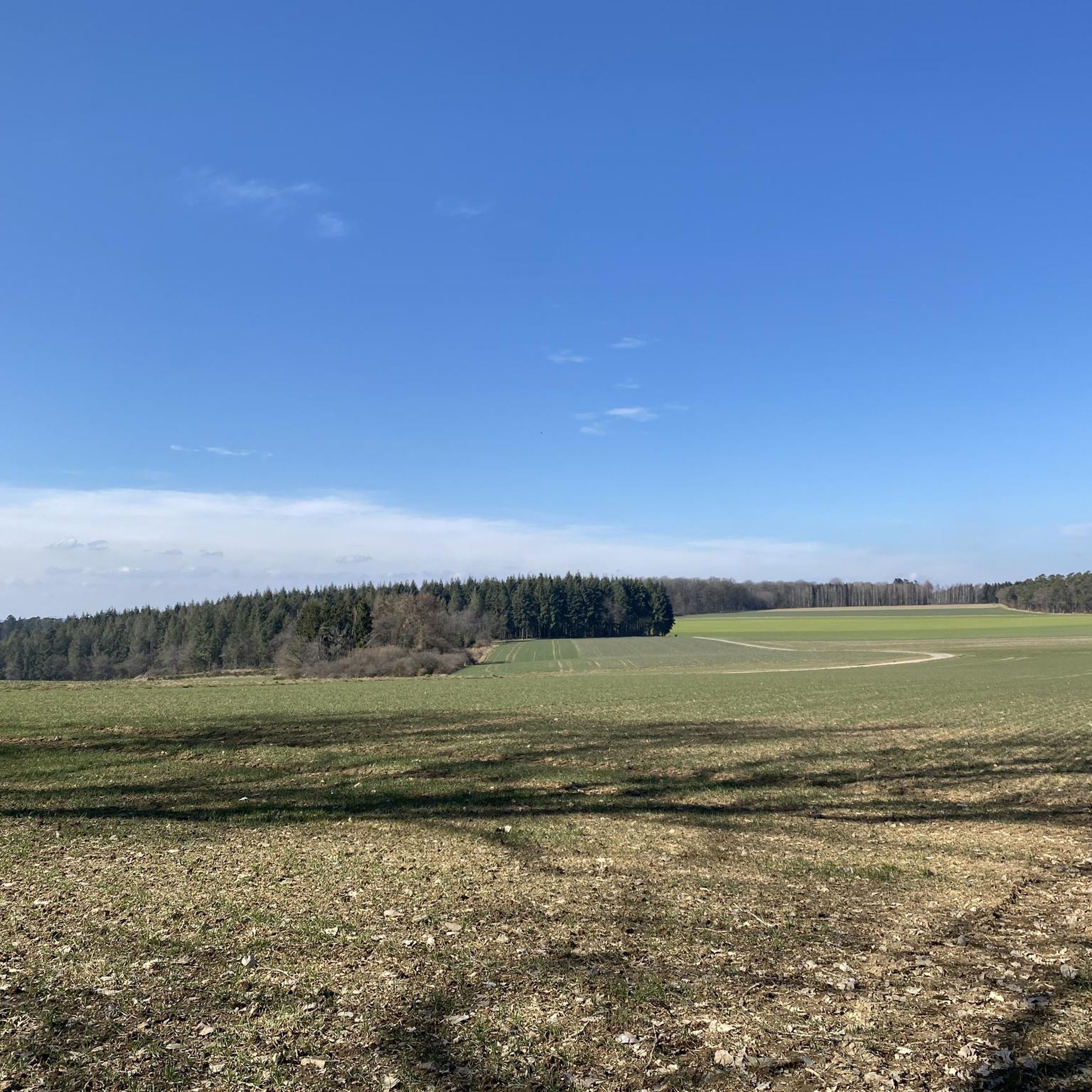
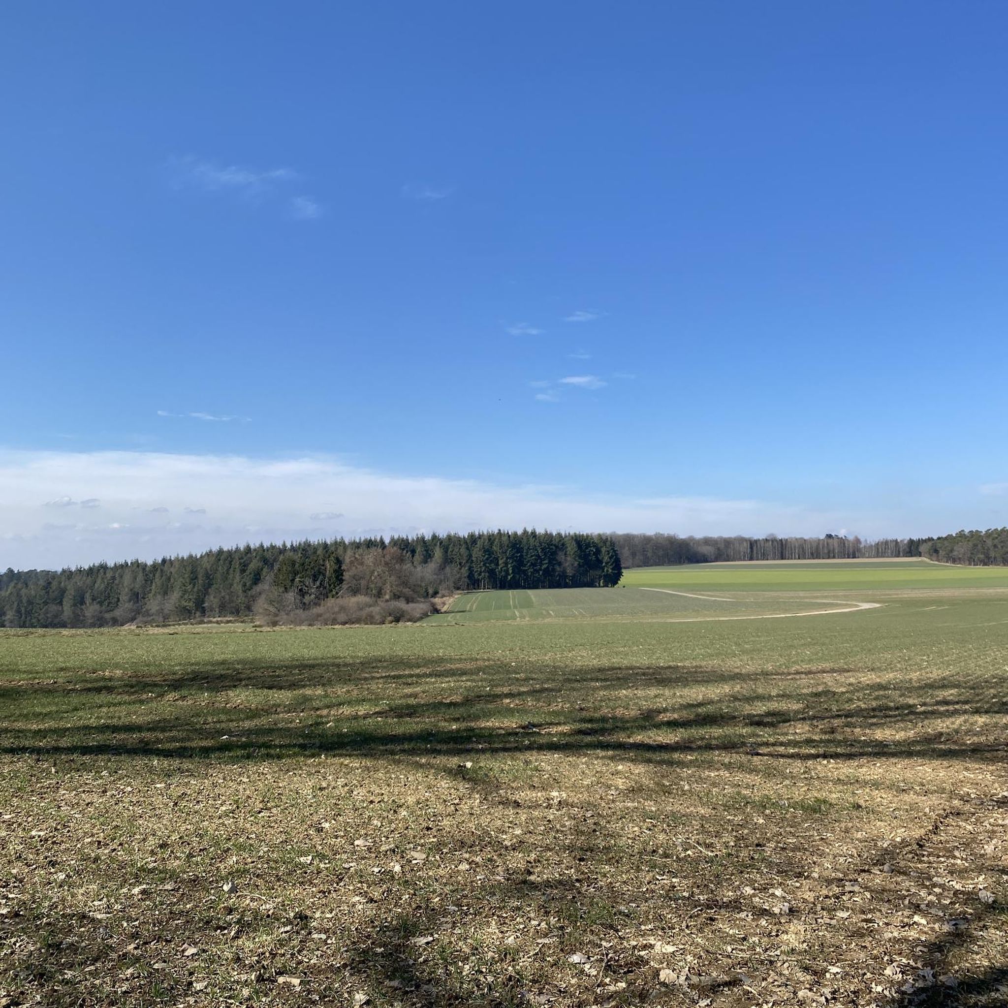
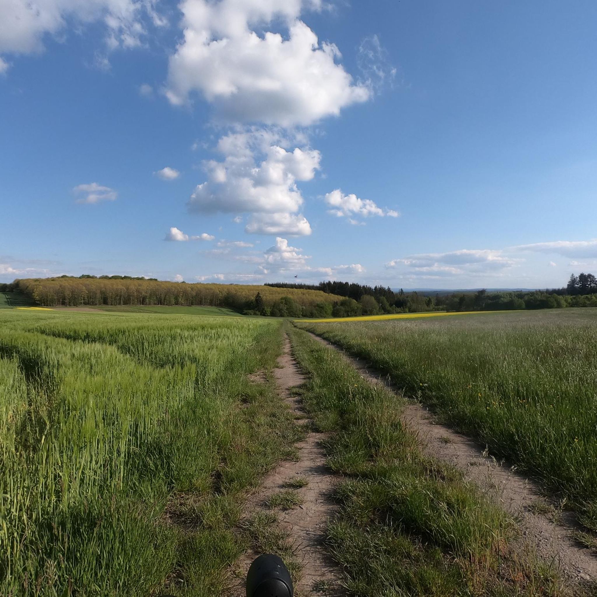
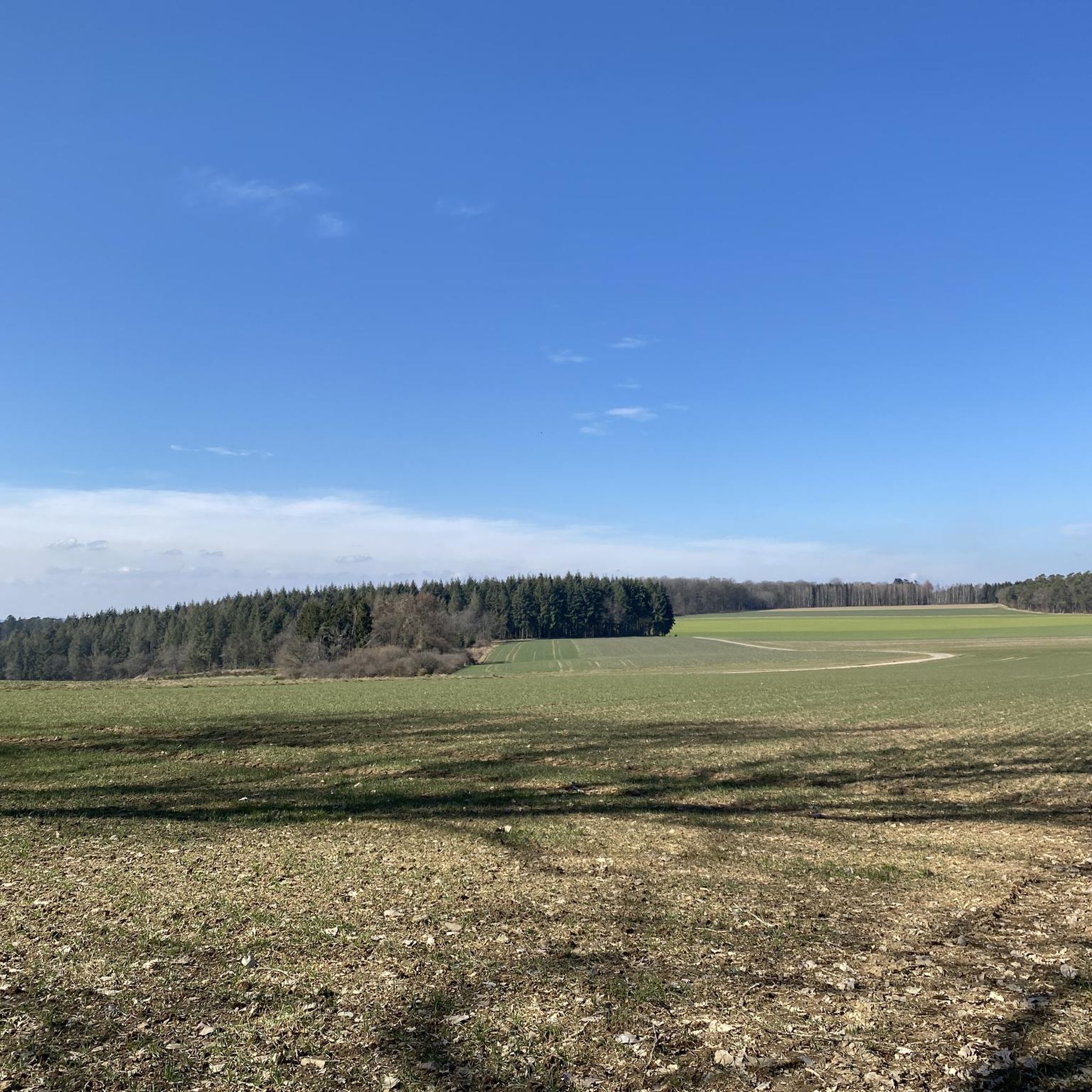
Hiking trails around Landkern offer diverse terrain, characterized by picturesque vineyards and wooded hills. The region is situated near the Moselle River, providing access to trails with views of the valley and its unique slate slopes. Hikers can explore varied landscapes, from gentle paths through vineyards to more challenging ascents in forested areas, including features like the Wilde Endert Waterfall.
Best hiking trails around Landkern
- The most popular hiking route is Wild Endert Valley Trail – Bridge Over the Endert…
Last updated: August 27, 2026
4.0
(1)
13
hikers
12.5km
03:33
260m
260m
Moderate hike. Good fitness required. Easily-accessible paths. Suitable for all skill levels.
10
hikers
10.3km
02:54
220m
220m
Moderate hike. Good fitness required. Easily-accessible paths. Suitable for all skill levels.

Sign up for free
5
hikers
15.8km
04:28
320m
320m
Moderate hike. Good fitness required. Easily-accessible paths. Suitable for all skill levels.
2
hikers
15.5km
04:30
380m
380m
Moderate hike. Good fitness required. Easily-accessible paths. Suitable for all skill levels.
10
hikers
6.66km
01:53
140m
140m
Easy hike. Great for any fitness level. Easily-accessible paths. Suitable for all skill levels.
Get access to more routes and recommendations from other explorers.
Sign up for free
Already have an account?
Our route recommendations are based on thousands of hikes, rides, and runs completed by other people on komoot.
Start today with a free account
Your next adventure awaits.
Login or Signup
Tips from the Community


Group of buildings that fit wonderfully into the stream valley.
0
0
A cheerfully babbling stream valley. You can only hear the stream, the birds, and your own footsteps.
1
0
Narrow footbridge, but stable!
1
0
Nice destination, especially on very hot days, as you can always find shade.
2
0

The path along the wild Endert River is indeed a bit wild in places, and some bridges need to be repaired. But you'll find peace and quiet here, with hardly any people around and beautiful, narrow paths with the sound of the river. Pure relaxation.🥰
2
0

You have to be a bit sure-footed
1
0
It's worth it because it's simply beautiful here.
1
0
Frequently Asked Questions
How many hiking trails are there in Landkern?
Landkern offers a diverse network of over 25 hiking trails. These routes vary in length and difficulty, providing options for both leisurely strolls and more challenging excursions through the region's picturesque landscapes.
What kind of terrain can I expect on hikes around Landkern?
The terrain around Landkern is characterized by a mix of rolling vineyards, dense wooded hills, and river valleys, particularly along the Endert and Moselle rivers. You'll encounter varied paths, from gentle trails through vineyards to more challenging ascents in forested areas, often featuring slate slopes and dramatic river bends.
Are there circular hiking routes available in Landkern?
Yes, many of the hiking trails in Landkern are designed as circular routes, allowing you to start and end your hike in the same location. For example, the Wild Endert Valley Trail – Bridge Over the Endert loop from Landkern is a popular circular option.
Are there any interesting landmarks or attractions to see while hiking near Landkern?
Absolutely. The region boasts several points of interest. You can explore historical sites like the Juliusstollen and Kaulenmännchen Sculpture, or discover natural features such as the Small cave on the Felsensteig. The area also offers stunning viewpoints, including those overlooking the Moselle River and historic castles like Reichsburg Cochem.
Are there any waterfalls in the Landkern area?
Yes, the Wilde Endert Waterfall is a notable natural feature in the region, providing a scenic highlight for hikers. Trails like the Wild Endert Valley Trail – Bridge Over the Endert loop from Landkern often lead through the beautiful Wild Endert Valley where you can experience this natural beauty.
What are the difficulty levels of hiking trails in Landkern?
Landkern offers a good mix of trails for different abilities. There are 12 easy routes, perfect for a relaxed walk, and 13 moderate routes that provide a bit more challenge. There are no difficult routes listed directly in Landkern, but nearby areas like the Calmont offer more adventurous options.
Are Landkern's hiking trails suitable for dogs?
Many trails in the Landkern region are dog-friendly, allowing you to enjoy the natural beauty with your canine companion. It's always recommended to keep dogs on a leash, especially in nature reserves or near livestock, and to carry water for them.
What do other hikers enjoy most about hiking in Landkern?
The hiking experiences in Landkern are highly rated by the komoot community, with an average score of 4.5 stars from over 5,500 reviews. Hikers frequently praise the diverse landscapes, including the picturesque vineyards and wooded hills, the well-maintained paths, and the scenic views along the Endert river.
Is parking available at Landkern trailheads?
While specific parking details for every trailhead are not listed, Landkern is generally well-equipped for visitors. Many trailheads in the region, especially for popular routes, typically offer designated parking areas. It's advisable to check local signage upon arrival.
How long do hikes around Landkern typically take?
Hike durations in Landkern vary significantly depending on the route and your pace. For example, an easy route like the Chapel Near Greimersburg – Wayside Cross loop from Landkern can take around 1 hour 20 minutes, while a moderate trail such as the Valley of the Wild Endert – Valley of the Wild Endert loop from Landkern might take approximately 4 hours 28 minutes.
Are there any challenging hikes for experienced hikers in the Landkern area?
While Landkern itself features mostly easy to moderate trails, experienced hikers seeking a greater challenge can find it nearby. The Calmont region, for instance, offers the Calmont via ferrata, known as Europe's steepest vineyard, which provides an exhilarating experience with ladders and steel ropes and magnificent panoramic views of the Moselle.
What are the unique natural features I might encounter on Landkern hikes?
Beyond the Wilde Endert Waterfall, you'll find distinctive rock formations at places like Zickelslei. The proximity to the Moselle River means you can experience dramatic river bends, unique slate slopes, and terraced vineyards. The region's dense forests also offer a rich variety of flora and fauna.
Most popular routes around Landkern
Most popular attractions around Landkern

Get inspired with the komoot mobile app


Explore more
Browse the best Hikes in other regions.
