The 20 Most Amazing Peaks around Brünisried
Mountain peaks near Brünisried are situated in the Sense district of the Fribourg canton in Switzerland, within a pre-Alpine hilly landscape. Brünisried functions as a gateway to several notable peaks and mountainous areas in its vicinity. These areas are popular for hiking and provide expansive views of the surrounding region. The highest point within Brünisried itself is Oberholz, reaching 1038 meters above sea level.
Best mountain peaks around Brünisried
- The most popular mountain peaks is Fuchses Schwyberg, a summit…
Last updated: October 9, 2026
Grosser Schwyberg Summit & Mountain Restaurant
Highlight • Summit
Translated by Google •
Tip by

Gantrischli Mountain Restaurant
Highlight • Restaurant
alpkaserei-und-buvette-gantrischli.business.site
Translated by Google •
Tip by

Sign up now to discover places like this
Get recommendations on the best single tracks, peaks, & plenty of other exciting outdoor places.
Cousimbert Summit
Highlight • Summit
Translated by Google •
Tip by

Brother Klaus Church, Schwarzsee
Highlight • Religious Site
Translated by Google •
Tip by

La Patta
Highlight • Viewpoint
The direct route through the forest to l'Auta Chia often has many wet areas in the upper area. Migrating is possible without any problems.
Translated by Google •
Tip by
Sign up for free to discover even more peaks around Brünisried.
Already have an account?
Start today with a free account
Your next adventure awaits.
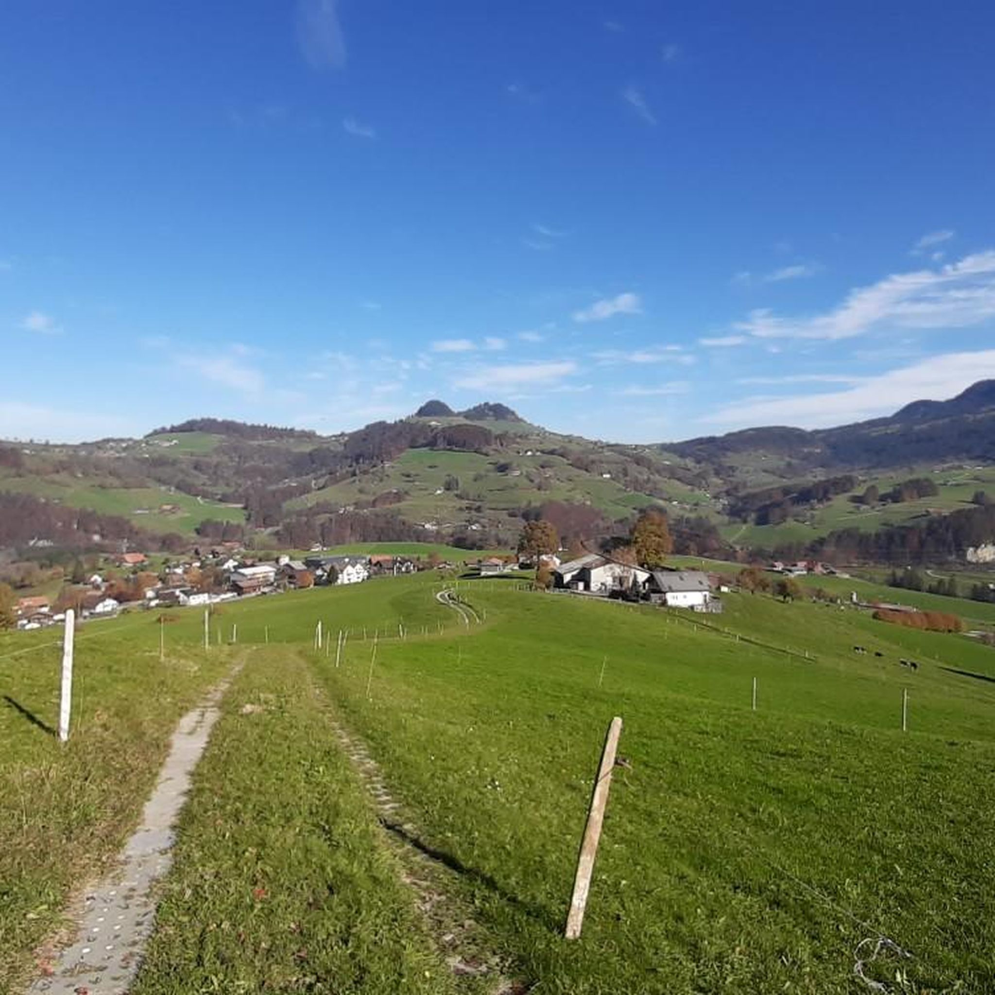
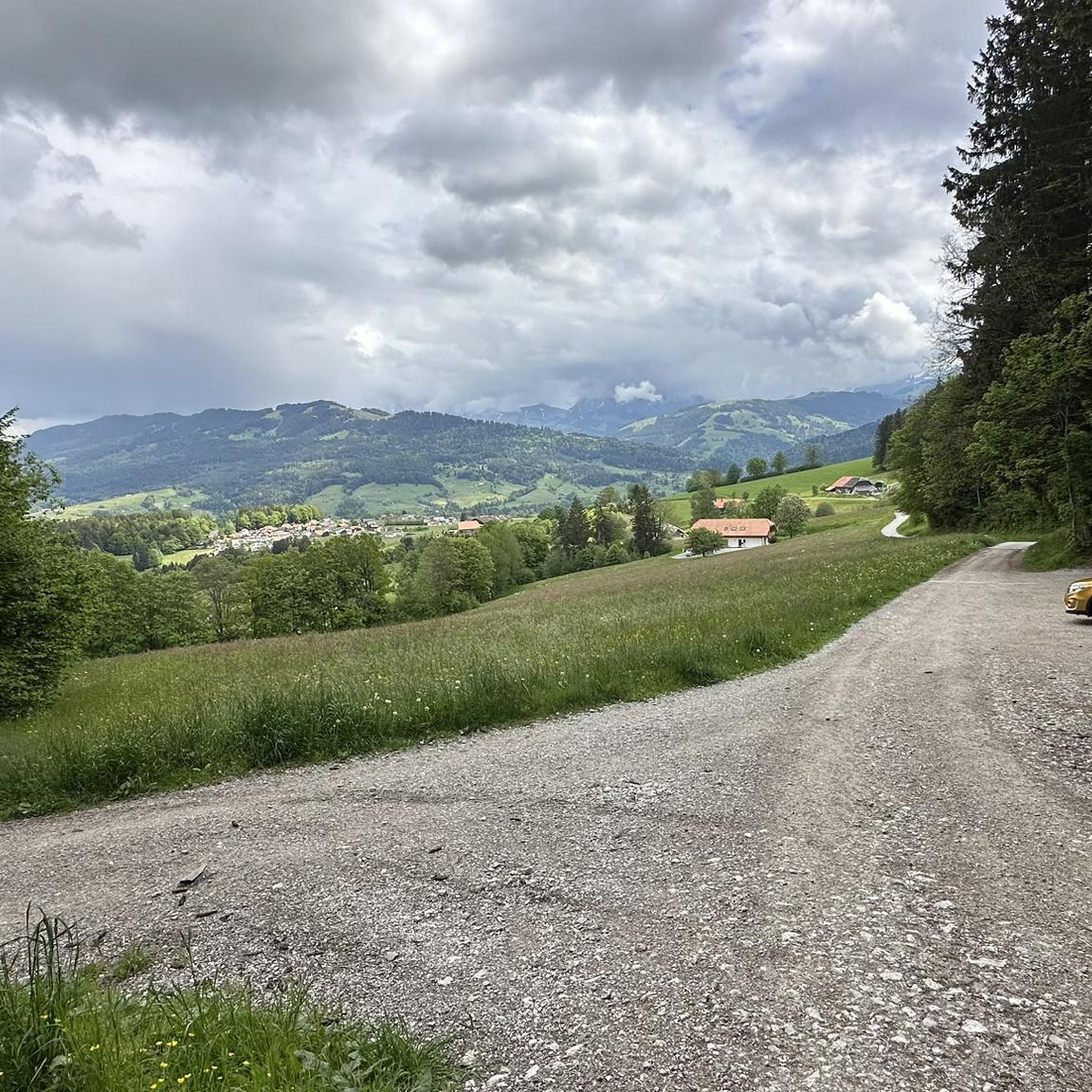
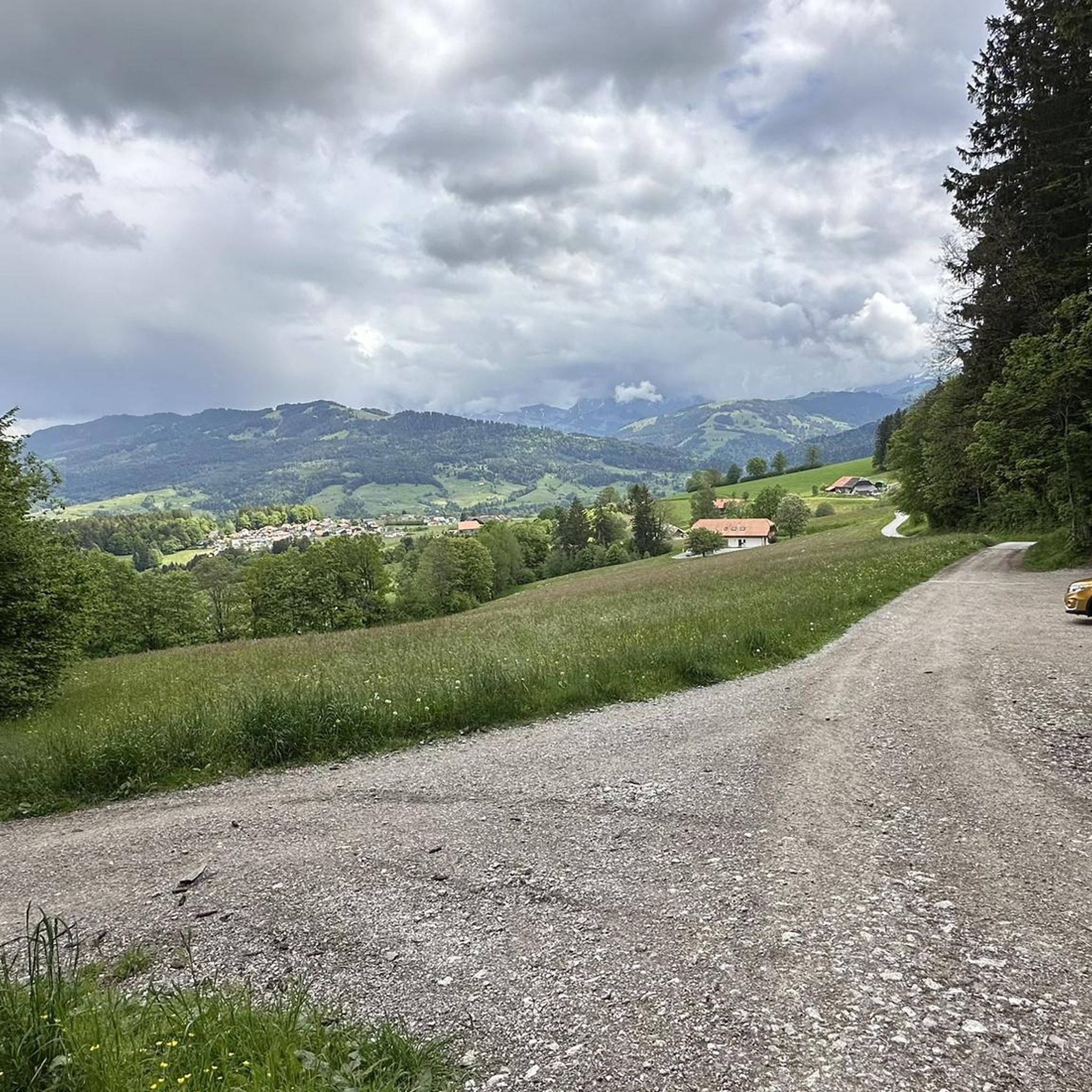
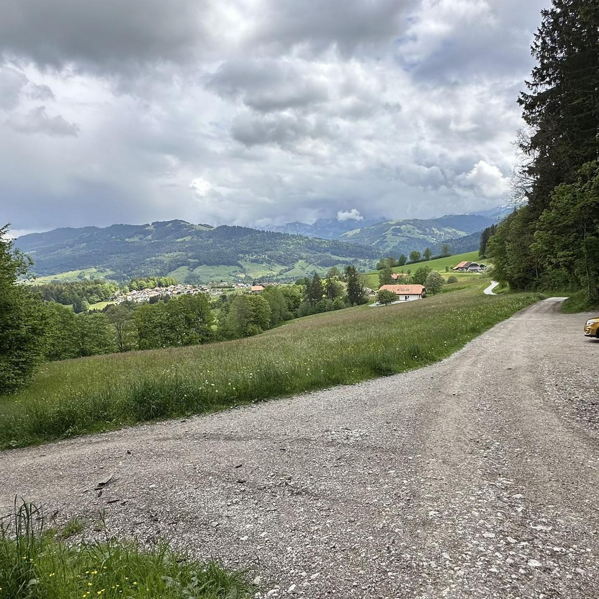
Tips from the Community

The Bruder-Klaus-Kirche in Schwarzsee-Bad is an interesting detour on the loop around the Schwarzsee. The modernly designed church stands out with its simple, clear architecture and forms a beautiful contrast to the natural surroundings of the lake, mountains, and forest. The church is named after Niklaus von Flüe (Bruder Klaus), the Swiss hermit, mystic, and peacemaker. He lived in the 15th century and is considered one of Switzerland's most famous religious figures. The church is located just a few minutes' walk from the Schwarzsee and can therefore be easily combined with a stroll around the lake. Those interested in churches, architecture, or special places along the route can make a short stop here. 📍 Location: Schwarzsee-Bad, Riggisalpweg 4
0
0

Beautiful view of the Schwarzsee. Approach from Plaffeien almost to Schwarzsee via a beautiful hiking trail/trail path with roots and forks along the Sense. Ascent to the Schwyberg partly up to 26% gradient. On the standard Komoot map and satellite, paths are partly marked which do not exist. Use Swiss Topo map. On the Schwyberg, beautiful view of the Gantrisch area, the city of Fribourg and the 3 lakes of the Seeland region. From the large Schwyberg, a great bike trail/hiking trail to the Gurli restaurant. Above Plaffeien there are many trails. However, due to the lack of a path from below the Gurli restaurant, these were not found by us. Alternatively, the approach from Plaffeien or directly from the Alp Grosser Schwyberg instead of via Gurli might be possible.
0
0


Great spot but way too crowded....
0
0

In Schwarzsee do not drive towards Hürli
0
0

Very nice, helpful staff!!!
0
0

A beautiful vantage point even in winter with a view of the Freiburg foothills and the Mittelland. Accessible with snowshoes.
0
0

Frequently Asked Questions
What are some of the most notable mountain peaks and viewpoints around Brünisried?
The region around Brünisried offers several prominent peaks and viewpoints. Among them are Fuchses Schwyberg, known for its challenging hikes and expansive pre-Alpine views, and Guggershorn Summit and Viewpoint, which provides a rewarding hiking destination with a great view accessible via steep stairs. Another significant peak is Cousimbert Summit, offering breathtaking views of Lake Gruyère and the surrounding Alps.
Are there family-friendly options for exploring the mountains near Brünisried?
While many mountain trails can be challenging, the area offers attractions that are suitable for families. For instance, the Brother Klaus Church, Schwarzsee, is a historical and family-friendly site located near the Schwarzsee, providing a cultural experience amidst the natural beauty.
What kind of hiking trails can I find near Brünisried's mountain peaks?
You'll find a variety of hiking trails ranging from easy to moderate difficulty. For example, you can explore the 'Trail Along the Sense River' with options from Plaffeien (6.5 km, easy) or Brünisried (9.1 km, moderate). Another popular route is the 'Guggershorn North Side – Vreneli Village, Guggisberg loop from Brünisried' (10.5 km, moderate). For more hiking options, visit the Hiking around Brünisried guide.
When is the best time to visit the mountain peaks around Brünisried?
The best time for hiking and enjoying the mountain peaks is generally from May to October. During these months, trails are well-marked, and the weather is usually favorable for outdoor activities. Early June is particularly beautiful around Cousimbert Summit due to blooming alpine roses.
Are there places to eat or rest after a mountain hike?
Yes, you can find welcoming spots to relax and refuel. The Gantrischli Mountain Restaurant is an excellent choice, offering a sun terrace with panoramic views of the surrounding mountains and serving delicious regional specialties after a strenuous climb.
What natural features can I expect to see when visiting the peaks?
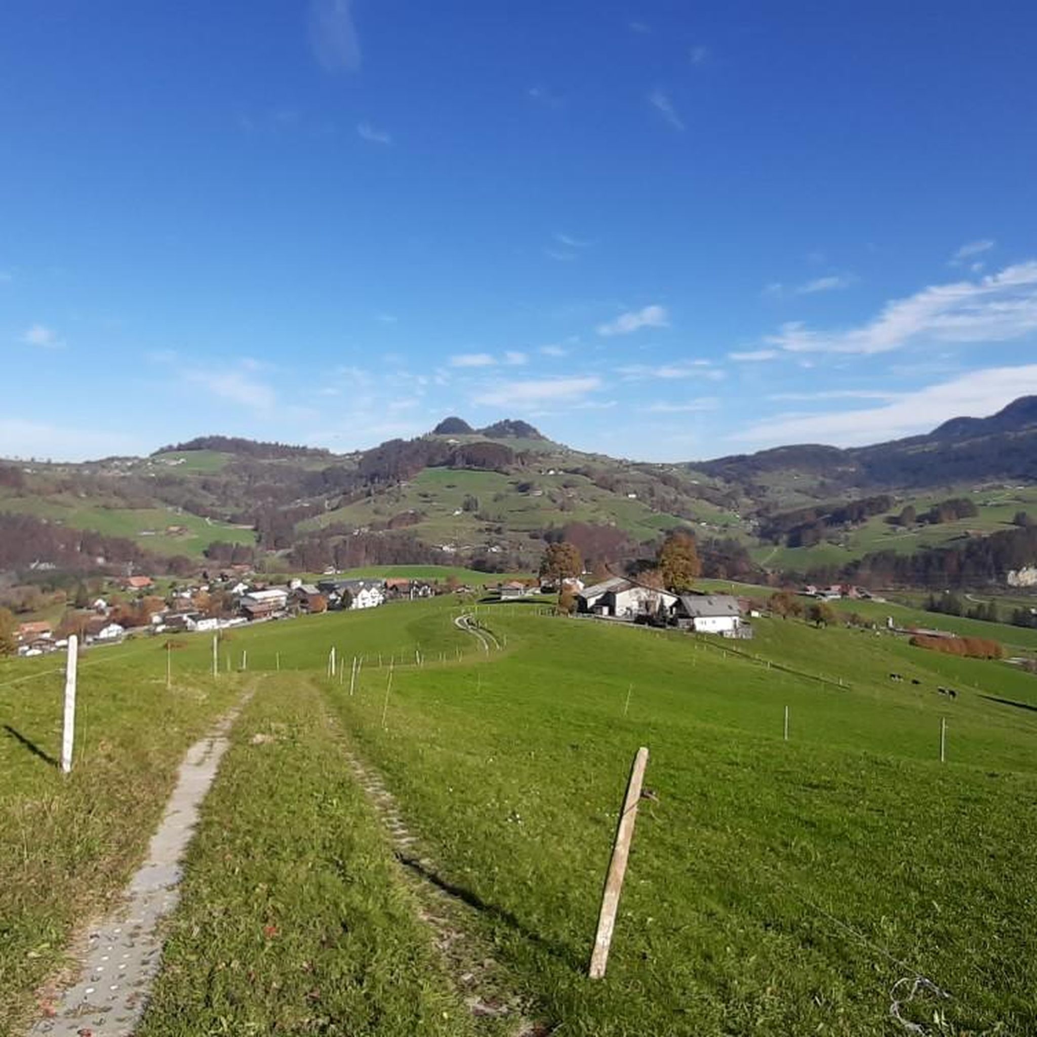
The region is characterized by a pre-Alpine hilly landscape, offering expansive views of the surrounding nature. You'll encounter features like the Sense River valley, picturesque alpine meadows, and dense forests. Peaks like Fuchses Schwyberg also provide views towards Schwarzsee, a notable lake in the area.
Can I go cycling or gravel biking near the mountain peaks of Brünisried?
Absolutely. The area offers diverse routes for both cycling and gravel biking. For gravel biking, you can find challenging routes like the 'Bern gravel ride: through the heart of the Gantrisch Nature Park' (58.3 km, difficult). Cycling enthusiasts can enjoy routes such as the 'Lake Schwarzsee – Bridge Over the Warme Sense loop from Plaffeien' (23.5 km, moderate). Explore more options in the Gravel biking around Brünisried guide and the Cycling around Brünisried guide.
What do visitors particularly enjoy about the mountain peaks around Brünisried?
Visitors appreciate the rewarding climbs and the stunning panoramic views from various summits. The diverse landscape, from challenging ridges to picturesque trails, is highly valued. The komoot community has shown its appreciation with over 110 upvotes and 50 photos for these locations, highlighting the scenic beauty and enjoyable outdoor experiences.
Are there any circular hiking trails available?
Yes, for instance, the Cousimbert Summit area features the Cousimbert Circular Trail, a moderate 5.8-mile loop that allows you to enjoy the scenic spot and pass by alpine huts.
What is the highest point within Brünisried itself?
Within the municipality of Brünisried, the highest point is Oberholz, which reaches an elevation of 1038 meters above sea level.
Is winter hiking or other winter activities possible in the region?
Yes, in winter, the area transforms into a winter wonderland. You can find opportunities for snowshoe hiking, ski touring, and tobogganing, making it a great destination for winter outdoor enthusiasts.
What is the general terrain like for mountain peaks near Brünisried?
The terrain around Brünisried is characterized by a pre-Alpine hilly landscape. While Brünisried itself is a farming village, its vicinity offers diverse mountainous areas with challenging ridges, steep ascents, and varied trails suitable for different fitness levels, providing a true pre-Alpine experience.
Most popular routes around Brünisried
Most popular attractions around Brünisried

Get inspired with the komoot mobile app


Explore more
See even more amazing summits around Brünisried with these guides:
