Top 7 Mountain Passes in Doubs
Mountain passes in Doubs are situated within the Jura Mountains, a region characterized by its diverse landscapes, including green valleys, dense forests, and limestone plateaus. The department borders Switzerland and is shaped by the Doubs River. This area offers various routes for cycling and hiking, providing access to elevated viewpoints and natural features. The terrain includes both gradual ascents and challenging climbs, catering to different activity levels.
Best mountain passes in Doubs
- The most popular mountain passes is Col sur…
Last updated: June 26, 2026
Col de Landoz-Neuve
Highlight • Mountain Pass
Translated by Google •
Tip by

Col de la Vierge
Highlight • Mountain Pass
More information: quaeldich.de/paesse/col-de-la-vierge-jura
Translated by Google •
Tip by

Sign up now to discover places like this
Get recommendations on the best single tracks, peaks, & plenty of other exciting outdoor places.
Sign up for free
Col sur le Mont
Highlight • Trail
Translated by Google •
Tip by

Col de la Grande Côte (467 m) via Marchaux
Highlight (Segment) • Mountain Pass
Translated by Google •
Tip by

Col du Tounet (965 m)
Highlight • Mountain Pass
Translated by Google •
Tip by

Col de Saint-Sorlin (1,142 m)
Highlight (Segment) • Mountain Pass
Translated by Google •
Tip by
Col du Châteleu (1,200 m)
Highlight • Mountain Pass
It is possible …
Translated by Google •
Tip by

Start today with a free account
Your next adventure awaits.
Login or Signup
Popular around Doubs

European Divide Trail — 7,600 km across the continent

GR 5 – The Europe Trail from the Mediterranean to Germany

Sentier de l'Europe (GR 5) – Montbéliard to Abreschviller
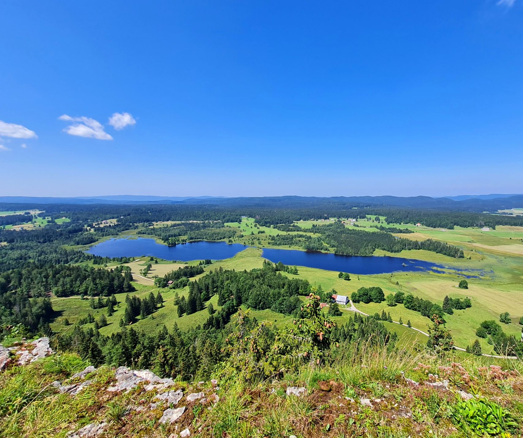
The Europe Trail – GR 5 from Nyon to Montbéliard
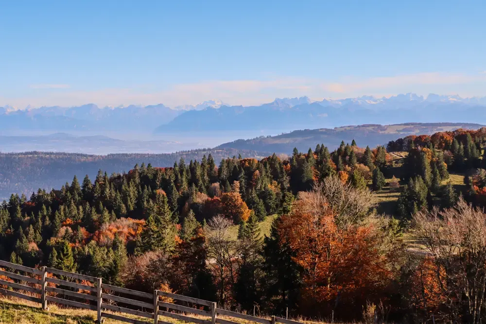
Grande Traversée du Jura en VTT — The Great Crossing of the Jura by MTB

Naples to North Cape — Two friends, one purpose and many scoops of ice-cream
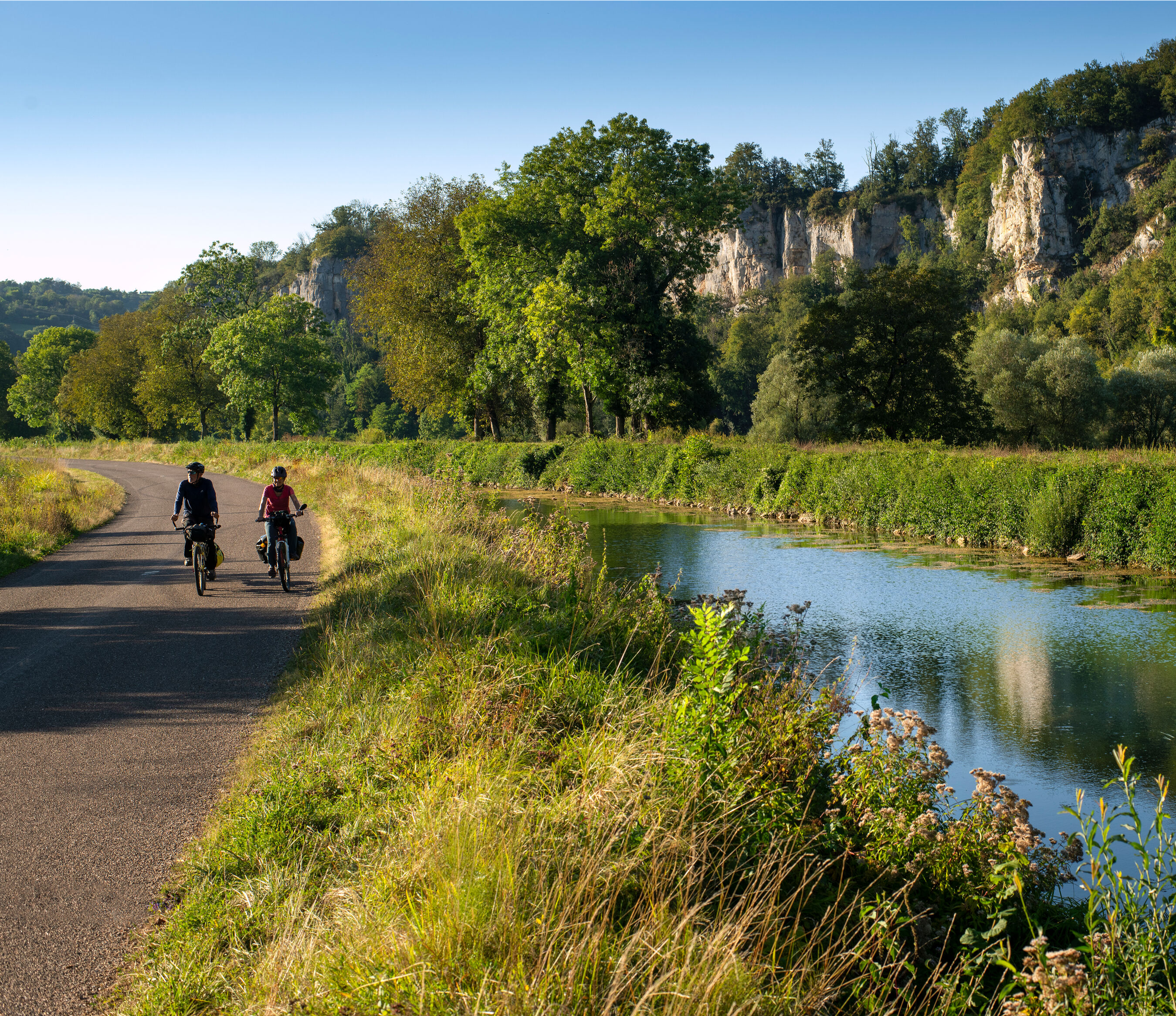
Burgundy-Franche-Comté by bike – between vineyards and peaks
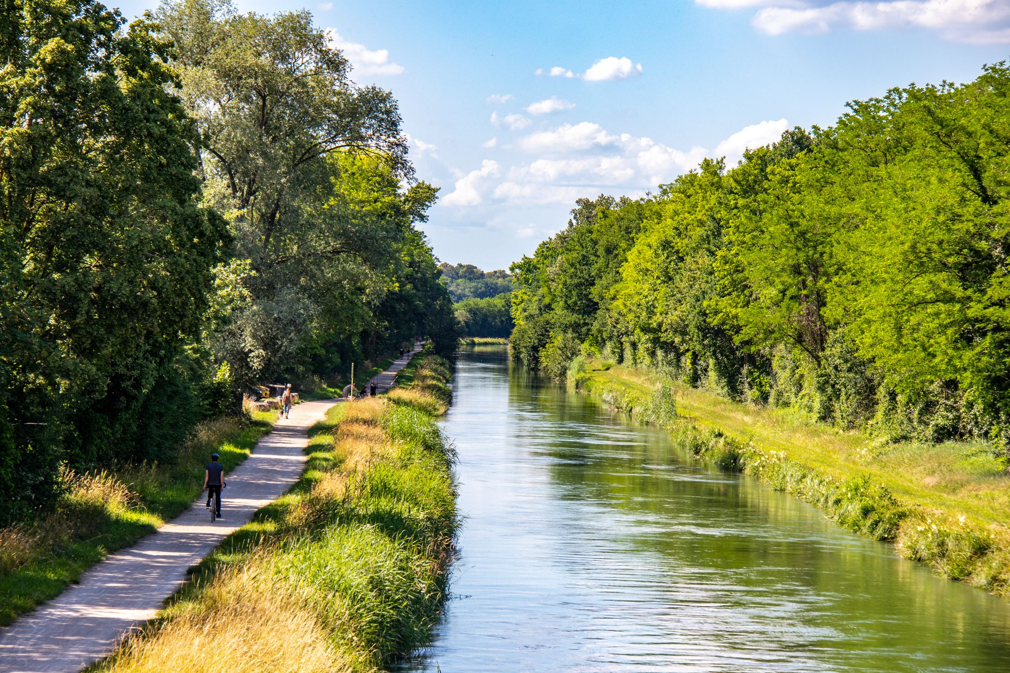
EuroVelo 6 – between the Rhine and the Loire by bike
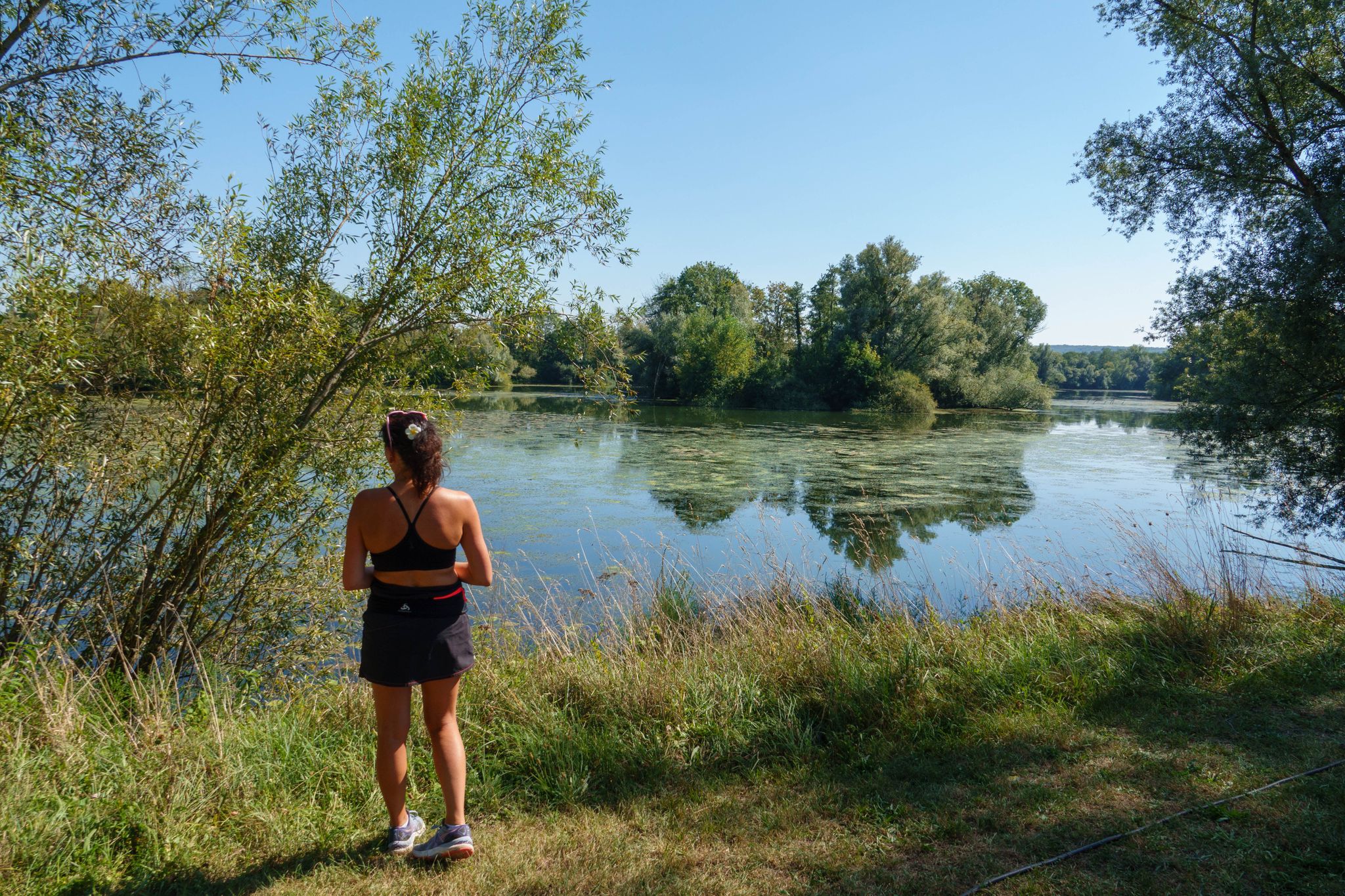
Hiking in the Vallée de l’Ognon — between villages, forests and rivers
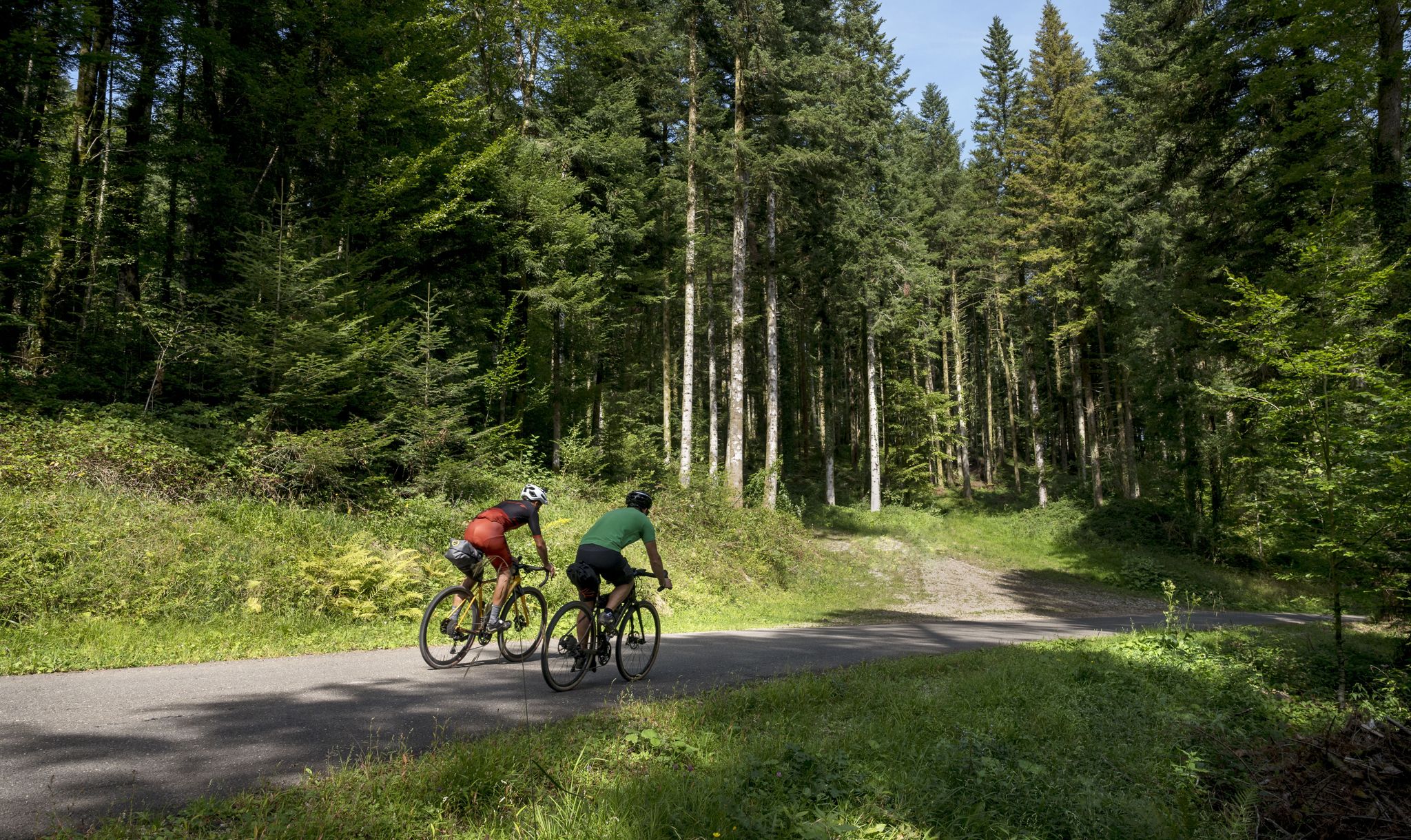
Grande Traversée du Jura - the gravel adventure
Other adventures in Doubs


Tips from the Community

Typo? Needs to be corrected... right?
0
0

Pass without any difficulty from Mouthe: approximately 6.5 km at 3-4%.
0
0

Pass at 467m altitude. From Marchaux, the 2.2 km long climb is category 4.
0
0
Pass located at 980m altitude. From Saint-Hippolyte, the ascent is considered 2nd category, with 18.2 kilometers with an average of 3.2% (and 9.3% over the steepest 100 meters). From Goumois and the bed of the Doubs, the ascent (category 3) is shorter (9.8 kilometers) and steeper with an average slope of 4.8% (10.4% over the steepest 100 meters). you will find an orientation table at the pass which will give you directions to the Chasseral range which rises to 1600 meters on the Swiss side of the border.
1
0

Col sur le Mont from Grand'Combe-Châteleu is a climb located in the Doubs region. This climb is 3.9 kilometers long, for an elevation gain of 203 meters. Col sur le Mont from Grand'Combe-Châteleu has an average slope of 5.2%. The highest point is 962 meters above sea level. The road is paved, but it's not the newest, so be careful, there might be potholes.
0
0
The Col du Tounet is 3.9 km long, with its highest point at 984 m. The uphill part is 3.2 km long. The average percentage of Col du Tounet is 3.3%. The route is suitable for all types of bikes.
1
0
Well-deserved arrival at 1200m at Vieux Châteleu and its typical inn of the region, especially when coming from Grand-Combe Châteleu via Les Gras because it climbs steeply. It is possible to climb (on foot) to Mont Châteleu which peaks at 1301m and offers an incredible panorama of the surrounding area. History has also marked this place, because it was the starting point of the numerous crossings of the Franco-Swiss border by the resistance fighter Michel Hollard with the aim of bringing information to the Allies.
0
0

Avoid at the end of the day between 4 p.m. and 6:30 p.m. because it is very popular with cross-border workers who drive fast.
1
0
Frequently Asked Questions
What are some notable mountain passes for cycling in Doubs?
The Doubs region offers several mountain passes popular with cyclists. Col sur le Mont is a pleasant ride with an average slope of 5.2%, offering shade from the forest. Another option is Col de la Grande Côte (467 m) via Marchaux, known for its regular climb through a beautiful forest. For a more challenging ascent, consider the routes to Crêt Monniot, such as from Lods via Hautepierre (22.6 km, 4.4% average gradient) or via Gorges de Nouailles (18.3 km, 4.6% average gradient).
What kind of terrain can I expect on mountain passes in Doubs?
The terrain around mountain passes in Doubs varies, offering both gradual ascents and challenging climbs. You'll find passes like Col de Saint-Sorlin (1,142 m) which is very gradual, making it suitable for a steady ride. Other passes, such as Col de la Grande Côte (467 m) via Marchaux, feature irregular slopes, providing varied terrain. Many routes pass through dense forests, offering shade and scenic views, while others open up to meadows.
What are some of the highest points or most scenic viewpoints in the Doubs mountains?
For breathtaking panoramic views, Mont d'Or is the highest point in the Doubs department at 1,463 meters, offering clear vistas of the Suchet massif, Dent de Vaulion, and even the Alps on clear days. Le Grand Taureau, at 1,323 meters, also provides impressive views with an orientation table at its summit. Mont Châteleu, at 1,300 meters, features a splendid belvedere with an unparalleled 180° view and is a popular take-off point for paragliders.
What outdoor activities can I do near the mountain passes in Doubs?
The Doubs region offers a wide range of outdoor activities. You can enjoy road cycling on routes like the 'Banks of Western Besançon Loop' or 'The valley of the 2 lakes — Loop from Pontarlier'. For hiking, explore trails around the Saut du Doubs or the 'Franco-Swiss Smugglers' Trail'. Mountain biking is also popular, with sections of the Grande Traversée du Jura (GTJ VTT) traversing the region. Paragliding is an option from Mont Châteleu.
Are there specific hiking trails around the mountain passes in Doubs?
Yes, there are numerous hiking opportunities. While specific trails directly on all passes aren't detailed, the region offers many trails. For example, the area around Mont d'Or is excellent for hiking, providing rewarding panoramic vistas. The Doubs Gorges, near Villers-le-Lac and Goumois, feature beautiful wild landscapes and trails, including the 'Ladders of Death' for adventurous hikers. You can find more hiking options in the Hiking in Doubs guide.
Can I go mountain biking in the Doubs region?
Absolutely! The Doubs region is part of the Jura Mountains, which is well-suited for mountain biking. The Grande Traversée du Jura (GTJ VTT) is a long-distance mountain biking route that includes parts of the Doubs, offering exciting paths through varied landscapes and splendid views, particularly along the blue gorges of the River Doubs.
Are the mountain passes in Doubs suitable for families?
While some passes involve challenging climbs, many areas in Doubs offer family-friendly experiences. Passes with gradual ascents, like Col de Saint-Sorlin (1,142 m), can be enjoyable for families. The area around the Saut du Doubs, with its impressive waterfall, offers accessible hiking trails and boat trips that are popular with families. Mont d'Or is also a great spot for a family picnic with stunning views.
Are there dog-friendly trails around the mountain passes in Doubs?
Many outdoor areas in the Doubs, including trails around mountain passes and natural sites like Mont d'Or and the Saut du Doubs, are generally dog-friendly. However, it's always recommended to keep dogs on a leash, especially in nature reserves, near livestock, or in areas with wildlife, and to check local regulations for specific trails or protected areas before your visit.
What is the best time to visit the mountain passes in Doubs?
The best time to visit the mountain passes in Doubs largely depends on your preferred activity. Summer (June to September) is ideal for hiking, cycling, and enjoying the panoramic views, as the weather is generally warm and trails are clear. During this time, you can even drive up to a car park near the summit of Mont d'Or. Spring and autumn offer beautiful scenery with changing foliage, though some higher passes might experience cooler temperatures or early snow in late autumn. Winter provides opportunities for snow sports, but many passes may be inaccessible by road.
Are there cafes, restaurants, or accommodation options near the mountain passes in Doubs?
While specific amenities directly at every pass might be limited, you will find cafes, restaurants, and accommodation in the nearby towns and villages. For instance, areas around Mont d'Or and the Saut du Doubs (near Villers-le-Lac) offer various options for dining and lodging. It's advisable to plan your route and check for available services in the closest communities before embarking on your journey.
What are some unique natural features to explore in the Doubs mountains?
Beyond the passes, the Doubs region boasts unique natural features. The Doubs Gorges, situated between Villers-le-Lac and Goumois, offer wild landscapes and the impressive 27-meter-high Saut du Doubs waterfall. Mont Châteleu is notable for being on the watershed line between the Mediterranean and North Seas. The entire region is characterized by its diverse landscapes, including green valleys, dense forests, and limestone plateaus shaped by the Jura Mountains and the winding Doubs River.
Are there any historical or cultural points of interest near the mountain passes in Doubs?
Yes, the region has some historical significance. Col du Châteleu (1,200 m) is categorized as a historical site. Additionally, the Doubs Gorges feature the 'Ladders of Death,' formerly used by smugglers, which offers a glimpse into the region's past. The broader Jura Mountains area, including Doubs, has a rich history tied to its natural landscape and border location.
What do visitors enjoy most about the mountain passes in Doubs?
Visitors particularly appreciate the scenic beauty and the variety of experiences offered by the mountain passes in Doubs. Cyclists enjoy the challenging yet rewarding climbs and the beautiful forest environments, as noted for Col sur le Mont and Col de la Grande Côte (467 m) via Marchaux. The panoramic views from high points like Mont d'Or and Le Grand Taureau are also highly valued. The overall natural atmosphere, with opportunities for hiking and exploring diverse landscapes, makes the region a favorite among outdoor enthusiasts.
Most popular routes in Doubs
Most popular attractions in Doubs

Get inspired with the komoot mobile app


Explore more
See even more epic mountain passes by checking out these guides in Doubs:
