Top 20 Natural Monuments around Glattfelden
Best natural monuments around Glattfelden include a diverse landscape shaped by significant rivers and geological formations. The village is situated on the lower reaches of the Glatt River, which flows into the Rhine nearby, contributing to the region's natural beauty. This area offers scenic views, such as the confluence of the Töss and Rhine rivers at Tössegg, and the Laubberg ridge. Glattfelden landmarks and natural features provide opportunities for exploring the local environment.
Best natural monuments around Glattfelden
- The most…
Last updated: July 10, 2026
Tössegg – Confluence of the Töss and Rhine
Highlight • River
Translated by Google •
Tip by

Lookout
Highlight • Viewpoint
Translated by Google •
Tip by

Sign up now to discover places like this
Get recommendations on the best single tracks, peaks, & plenty of other exciting outdoor places.
Sign up for free
Weiacher Höhe
Highlight • Trail
Translated by Google •
Tip by

Golden Gate
Highlight • Lake
Translated by Google •
Tip by

Erdmannliloch
Highlight • Cave
Translated by Google •
Tip by

Sign up for free to discover even more natural monuments around Glattfelden.
Sign up for free
Already have an account?
Start today with a free account
Your next adventure awaits.
Login or Signup
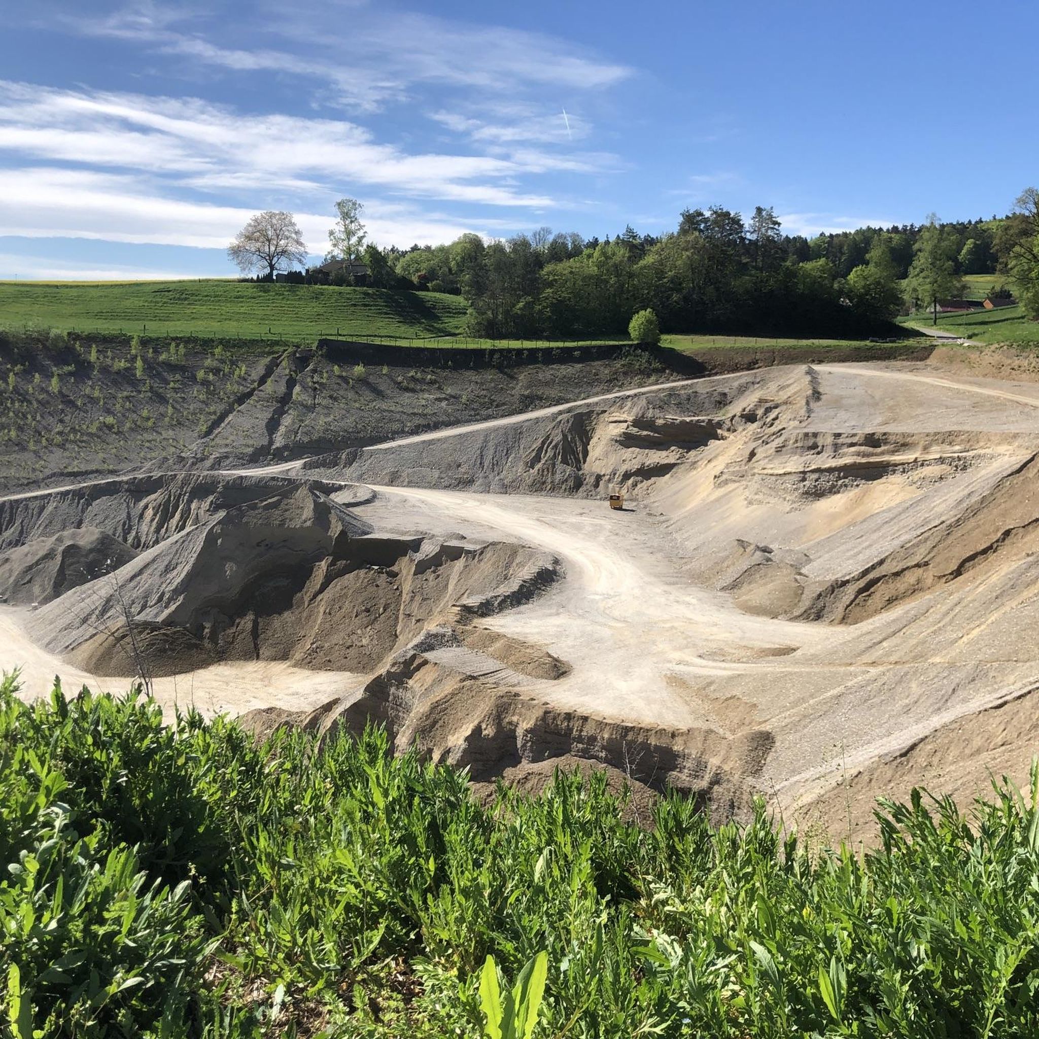
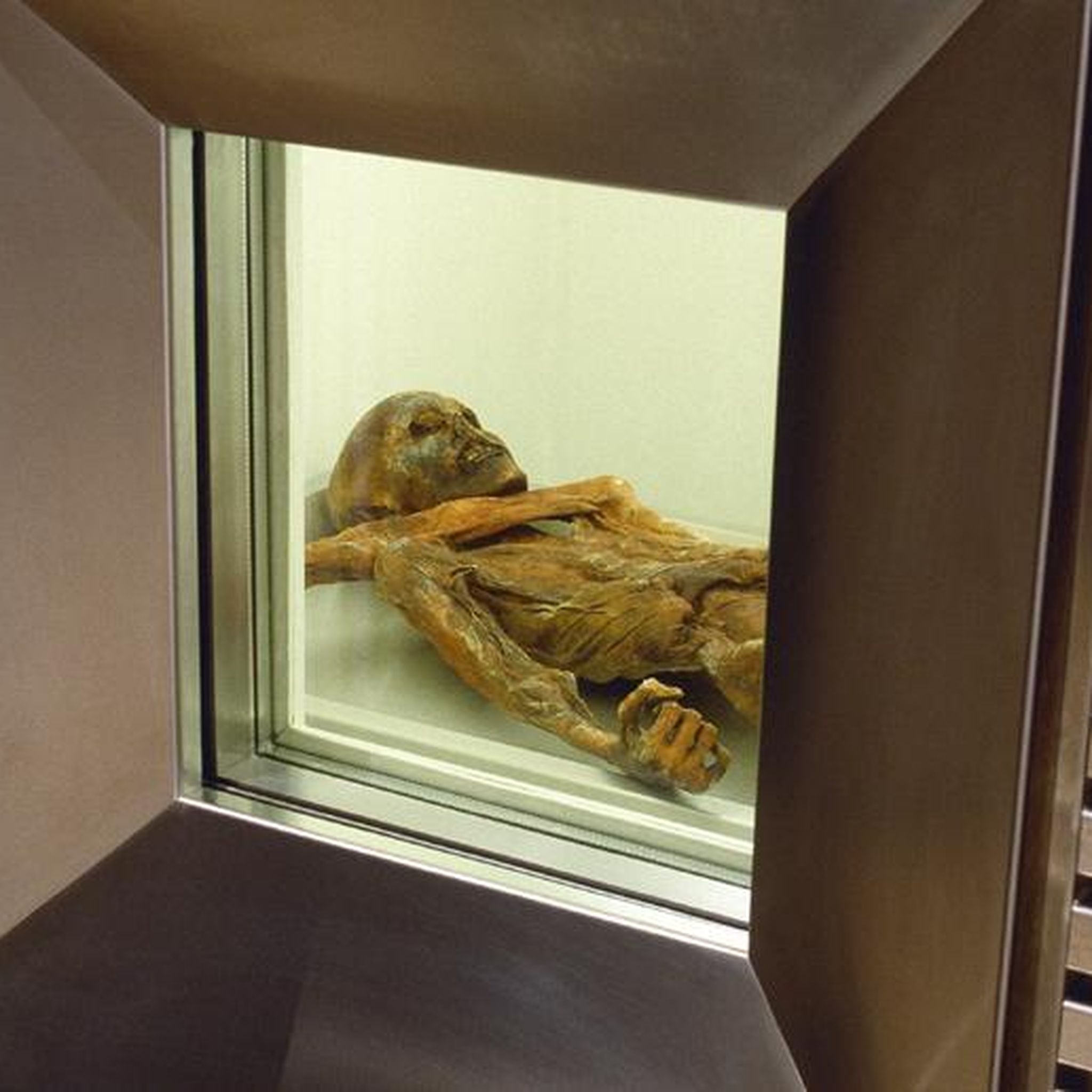
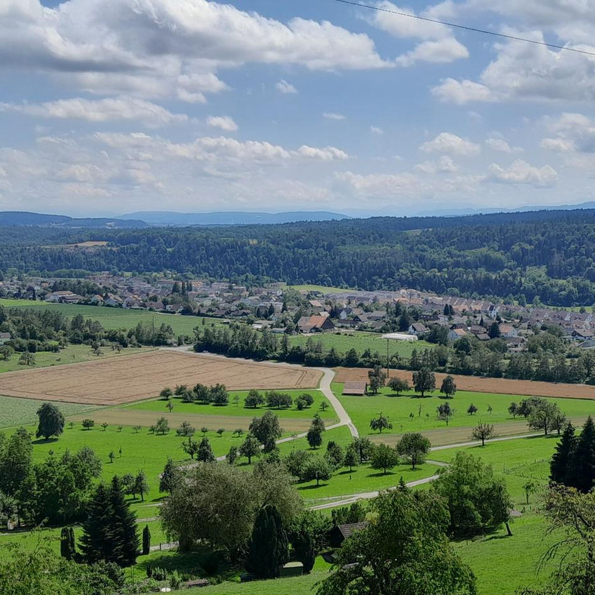
Other adventures around Glattfelden

Tips from the Community


A visit to the Erdmanndliloch is a MUST for bikers.
0
2
Arriving at the foot of the Erdmanndliloch is already exhausting enough, climbing the Erdmanndliloch with your biker boots is also a breathtaking effort. Once you've done it😃😀😃
1
1
Without many words, the Erdmandli Loch is unique, in an impressive mystical nature
1
1

The pond owes its existence to groundwater, which is forced to rise through a watertight obstacle. The rising groundwater stirs up fine, light sand, interspersed with white snail shell debris, which was used as writing sand until the beginning of the last century. Legend of the "Goldig Tor" (short version according to Meinrad Lienert) Once upon a time a shepherd boy was tending sheep at the pond. It was a glorious foehn day and the boy lay down on the bank with his eyes heavy with dreams. Suddenly a maiden emerged from the pond up to her shoulders. She lured him with a golden ring on her hand. The boy tried to grab the ring and leaned over the water. Suddenly the maiden took him in both arms and sank with him. He had barely disappeared when his farmer rushed over, because he had heard his shepherd boy cry out. But he could not see his little shepherd anywhere. Suddenly it shot up like a candle from the golden sand whirlpool in the pond in front of him. He quickly pulled it to the bank. After a while the boy opened his eyes and began to tell what had happened to him: "The water maiden pulled me into an infinite depth. Suddenly I saw a mighty city with a huge golden gate. It just opened wide and a beautiful maiden stepped out. Now the maiden, who was holding me in her arms, opened her arms to greet her friend. At the same moment a whirlpool grabbed me and pulled me up with it. I don't know anything else." The shepherd boy returned to the pond again and again, but he never met the beautiful maiden again. Thanks to his story, however, we now know where the gold flakes in the water come from: they are washed off the golden gate and carried to the surface (content from the information board).
4
0

Great view with barbecue area, can be easily connected to the Irchelturm.
3
0
The Grottenburg Hohfluh, also Balmburg Hohfluh, on the map of Switzerland as Erdmännliloch, also Erdmannliloch, is the ruin of a medieval cave castle near Bachs in the canton of Zurich. It is the only known cave castle in the canton of Zurich (Wikipedia),
4
0

Frequently Asked Questions
What kind of natural features can I expect to see around Glattfelden?
The Glattfelden area is rich in natural beauty, primarily shaped by its rivers and geological formations. You'll find significant river confluences, such as where the Töss meets the Rhine at Tössegg, and the Thur flows into the Rhine at Thurspitz. The region also features unique geological formations like the molasse mountain Weiacher Höhe with its striking rock faces, and the scenic Laubberg ridge offering expansive views.
Are there any unique geological formations or caves to explore near Glattfelden?
Yes, the region offers distinct geological sites. The Weiacher Höhe is a 547-meter high molasse mountain known for its impressive rock faces formed by ancient river gravels. Additionally, you can explore the Erdmannliloch, a unique and challenging Nagelfluh cave near Bachs, which is also considered a historical site believed to have been a grotto castle in the Middle Ages.
What are some notable river confluences in the Glattfelden area?
Glattfelden is situated near several significant river confluences. The Töss River flows into the Rhine at Tössegg, creating a tranquil natural landscape. Another notable spot is Thurspitz, where the Thur River meets the Rhine. This site, artificially created during the first Thur correction, offers interesting views of the two rivers merging.
Are there natural areas suitable for birdwatching or wildlife observation?
Absolutely. The Neeracherried is a prime location for birdwatching. As one of the last large fens in Switzerland, this 105-hectare area provides a vital habitat for countless birds, plants, amphibians, and reptiles. It's a popular spot for ornithologists and nature enthusiasts alike.
What kind of hiking opportunities are available near Glattfelden's natural monuments?
The area around Glattfelden offers diverse hiking opportunities. The Laubberg ridge is part of the 'Gottfried Keller Poet's Path,' a scenic hike with great views over Glattfelden and the wider Unterland region. You can also find various running trails, including easy to moderate loops along the Glatt River, such as 'The Glatt near Glattfelden loop'. For more options, explore the Running Trails around Glattfelden guide.
Can I go cycling or mountain biking near these natural attractions?
Yes, the Glattfelden region is well-suited for cycling and mountain biking. The Rhine River offers scenic routes along its banks, including a bike lane near Eglisau. The Glatt River also has sections of biking/skating paths. For more challenging rides, you can find MTB trails like the 'Wannenberg Viewpoint – Küssaburg Ruins loop'. Check out the MTB Trails around Glattfelden guide or the Gravel biking around Glattfelden guide for detailed routes.
Are there easy walks or family-friendly natural monuments in the region?
Many natural spots around Glattfelden are suitable for families and easy walks. The paths along the Glatt River offer a tranquil rural atmosphere, perfect for leisurely strolls. The Neeracherried is also considered family-friendly, providing an accessible way to observe nature. Additionally, the Golden Gate pond, with its intriguing legend, is a pleasant and easy-to-visit natural feature.
What makes <a href="https://www.komoot.com/highlight/426670" target="_blank" rel="noopener">Weiacher Höhe</a> a significant natural monument?
Weiacher Höhe is a significant natural monument due to its unique geological structure. It's a 547-meter high molasse mountain featuring striking rock faces formed by ancient, cemented river gravels. The plateau at its top offers expansive views, which can extend as far as the Alps on clear winter days. It also contains a small cave formed by weathering at the foot of the rock face.
What is the story behind the <a href="https://www.komoot.com/highlight/6668852" target="_blank" rel="noopener">Golden Gate</a> pond?
The Golden Gate pond is known for its clear water and a local legend. It's said that a shepherd boy was lured into the pond by a water maiden with a golden ring. He was pulled into an infinite depth where he saw a mighty city with a huge golden gate. The legend explains the presence of gold flakes in the water, believed to be washed off the golden gate and carried to the surface. The pond itself is formed by groundwater rising through a watertight obstacle.
When is the best time to visit the natural monuments around Glattfelden?
The best time to visit depends on your interests. For expansive views, especially from places like Weiacher Höhe or Laubberg, winter is ideal when deciduous trees are bare, allowing views to extend to the Alps. Spring and autumn offer pleasant temperatures for hiking and cycling. For birdwatching at Neeracherried, different seasons will bring various migratory birds.
Are there any historical aspects associated with the natural monuments in Glattfelden?
Yes, the Erdmannliloch cave is not only a natural formation but also a significant historical site. It is believed to have been a grotto castle in the Middle Ages, possibly the only one in the Swiss Plateau. While written sources are scarce, excavations have revealed artifacts, and numerous legends surround the cave, including tales of 'Erdmannli' (dwarfs) and its use as a hermitage.
What do visitors enjoy most about the natural monuments around Glattfelden?
Visitors particularly appreciate the diverse landscapes and the tranquility of the area. The scenic views from places like Weiacher Höhe and Laubberg are highly rated, especially when the Alps are visible. The unique geological features and historical legends of sites like Erdmannliloch also captivate visitors. The peaceful river confluences and the rich wildlife at Neeracherried are also popular highlights, as evidenced by the community's upvotes and shared photos.
Most popular routes around Glattfelden
Most popular attractions around Glattfelden

Get inspired with the komoot mobile app


Explore more
Extend your search for the best caves by checking out these guides of the top ones around Glattfelden:
