Top 20 Natural Monuments around Niederweningen
Natural monuments around Niederweningen offer a diverse landscape for exploration. The region features a variety of natural attractions, including the Lägerngrat Ridge Trail, known for its rocky paths and panoramic views. Visitors can discover more than 20 natural monuments, ranging from lakes to unique geological formations. This area provides opportunities to experience varied terrain and scenic vistas.
Best natural monuments around Niederweningen
- The most popular natural monuments is Weiacher Höhe, a trail that features a 547 meter high molasse…
Last updated: October 13, 2026
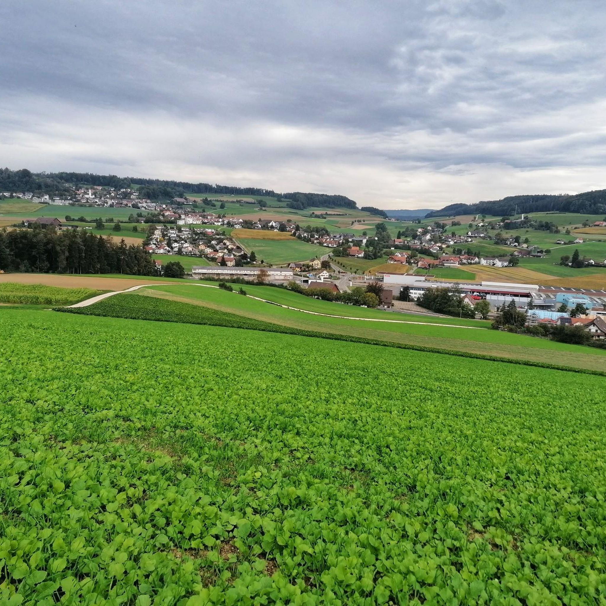
Lägernsattel Ridge Trail
Highlight • Trail
Translated by Google •
Tip by

Egelsee
Highlight • Lake
Among the knights who once lived in our land there were many godless and violent people. No traveler on the road, no seed in the field, no …
Translated by Google •
Tip by

Sign up now to discover places like this
Get recommendations on the best single tracks, peaks, & plenty of other exciting outdoor places.
Neeracherried Nature Reserve
Highlight • Natural Monument
Translated by Google •
Tip by

Confluence of the Limmat and Aare
Highlight • River
Translated by Google •
Tip by

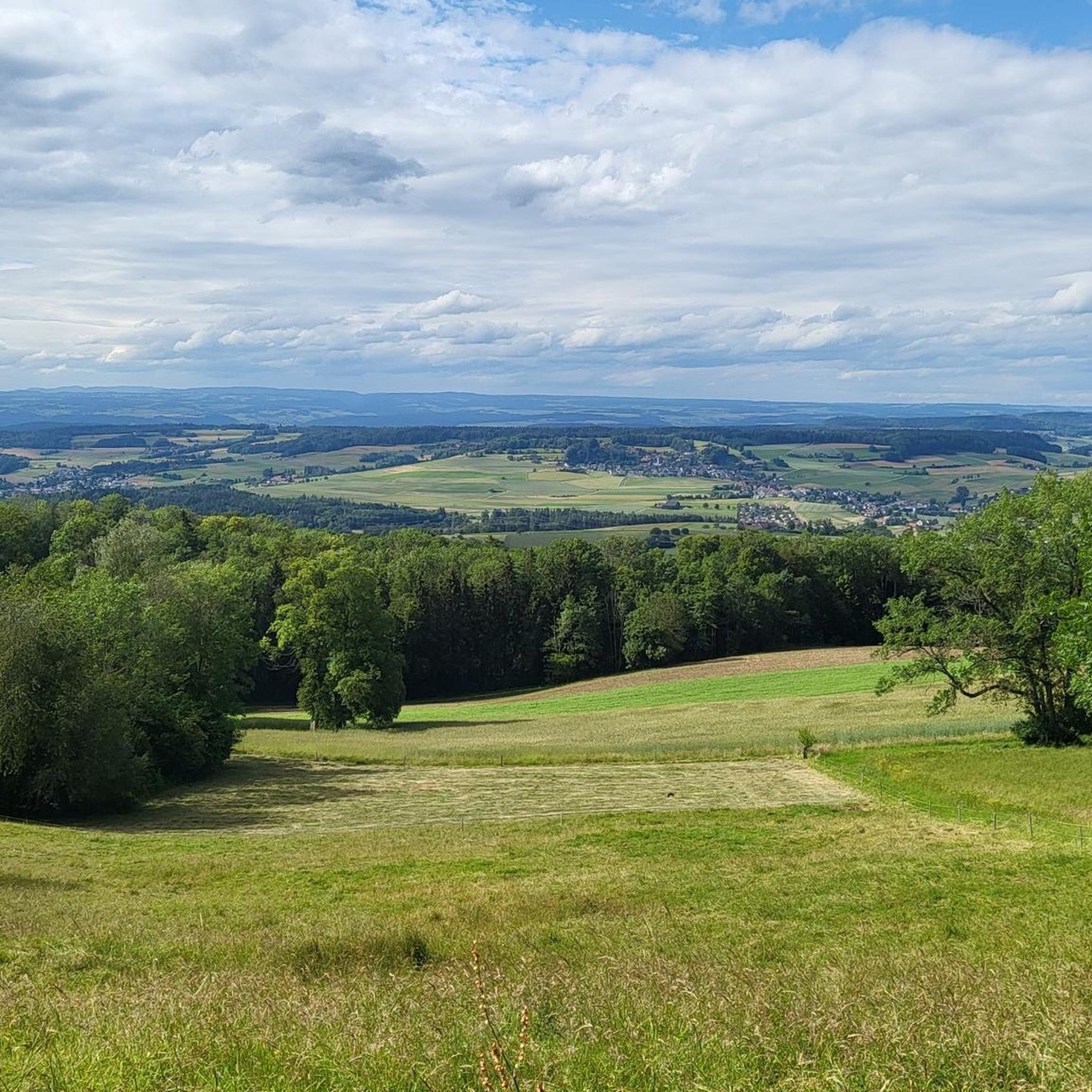
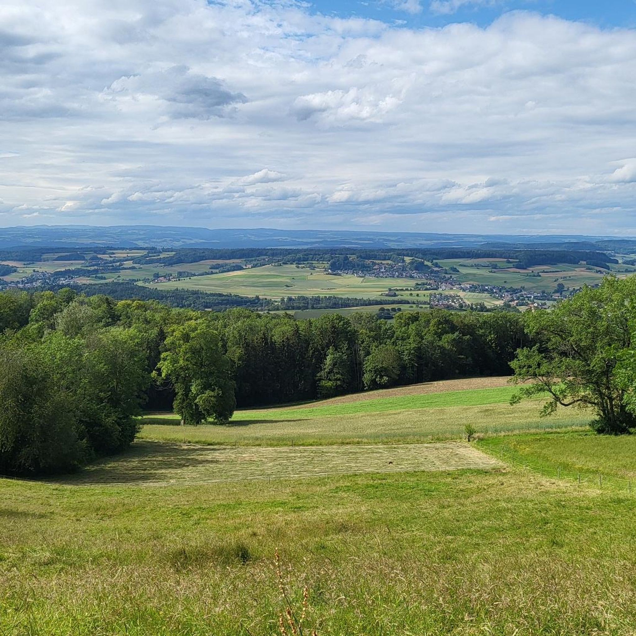
Burghorn
Highlight • Viewpoint
Translated by Google •
Tip by

Sign up for free to discover even more natural monuments around Niederweningen.
Already have an account?
Start today with a free account
Your next adventure awaits.
Tips from the Community

Great cycle path, super beautiful region
0
0

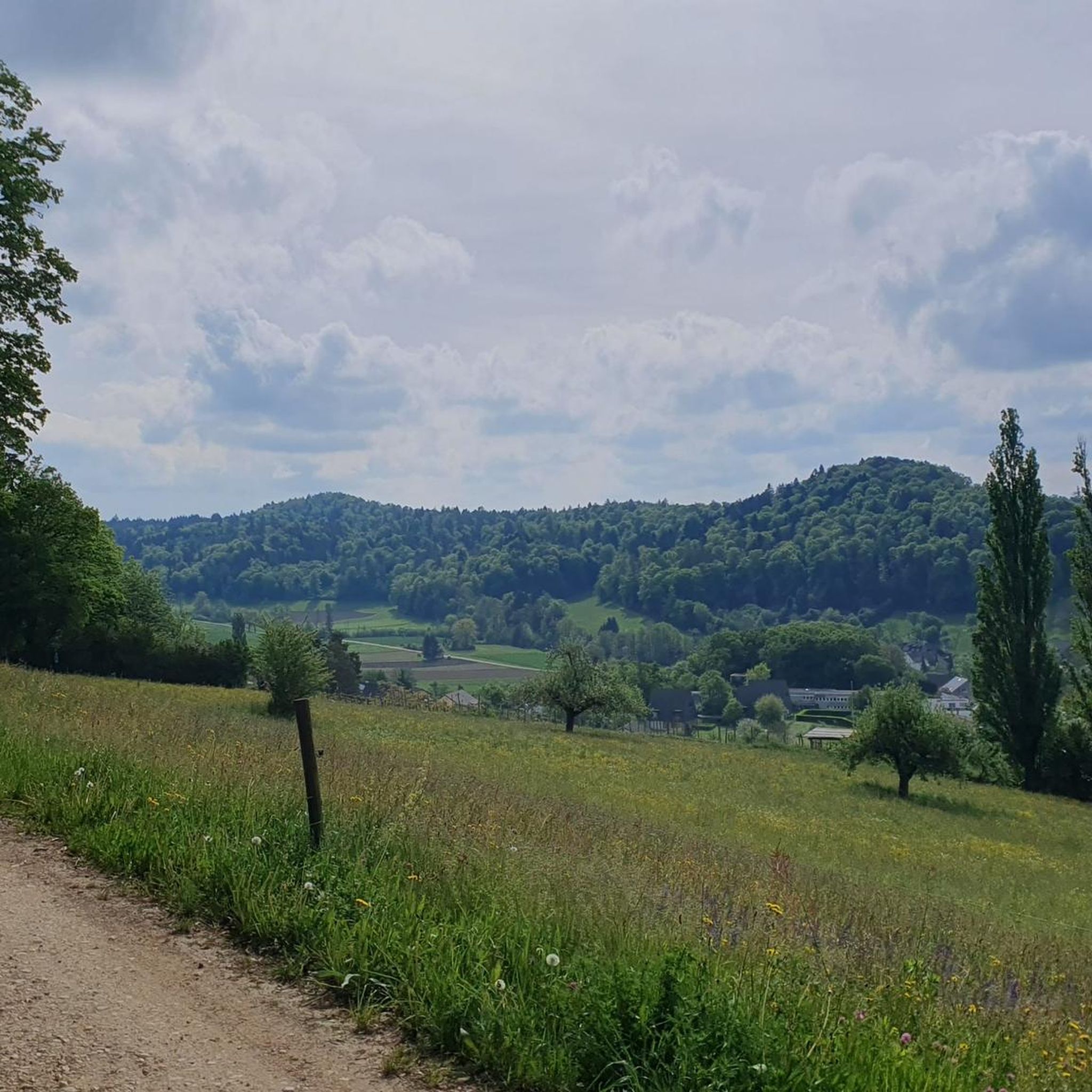
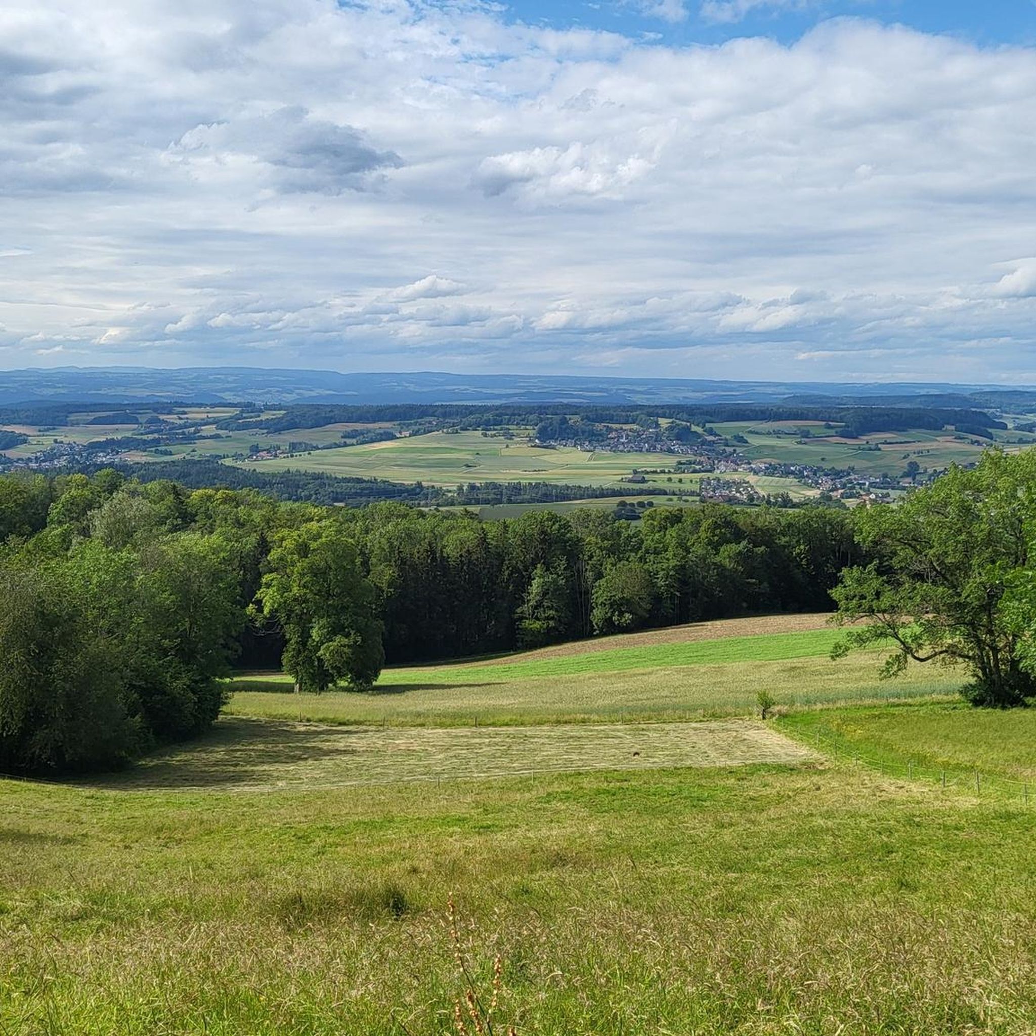
At 859 meters, the Burghorn is the highest point on the Lägerngrat. From here, you can enjoy spectacular panoramic views: to the south over the Limmat Valley to the Alps 🏔️, and to the north into the Surb Valley and the Aargau Jura 🌳 – a perfect place for a break with a view!
10
0

The wooden footbridge was pulled into place by a fallen tree during the last flood. It is still not accessible.
2
0
When the water level is high, the jetty is often flooded. The water masses are raging! This time it hit the jetty. Damaged by a fallen tree trunk.
1
0
Here you are in the water castle area of Switzerland. A few meters downstream, the Limmat flows into the Aare. A few hundred meters upstream, the Reuss flows into the Aare. The Reuss and the Limmat flow into the Aare on the right bank. It is always nice to stop here, and every time you see a different picture.
1
1

This nature reserve is home to one of the last fens in Switzerland. The landscape here is all the more worthy of protection. Many bird species in particular have their home here.
1
0

Great view of the Alps... difficult to walk...
3
0
Frequently Asked Questions
What are some unique natural attractions around Niederweningen?
The region offers several unique natural attractions. The Teufelskeller Nature Reserve is known for its strange conglomerate formations and deep holes, providing an adventure experience in an unmanaged forest. Another unique spot is Weiacher Höhe, a molasse mountain featuring striking rock faces formed by ancient river gravels.
Are there family-friendly natural monuments to visit near Niederweningen?
Yes, several natural monuments are suitable for families. Egelsee is an idyllic lake appreciated for its natural beauty and peaceful atmosphere. The Confluence of the Limmat and Aare offers a great viewpoint and a relaxing spot by the water. Additionally, Burghorn, the highest point on the Lägerngrat, provides panoramic views and is also considered family-friendly.
What kind of hiking trails can I find near these natural monuments?
The area around Niederweningen offers a variety of hiking trails. The prominent Lägerngrat Ridge Trail, for instance, is a rocky path with varied terrain and panoramic views, classified as a T3 difficulty path requiring sure-footedness. You can find more hiking options, including moderate and easy routes, by exploring the Hiking around Niederweningen guide.
Is the Lägerngrat Ridge Trail suitable for all hikers?
The Lägerngrat Ridge Trail is classified as a T3 difficulty path, meaning it requires a good level of sure-footedness and a head for heights. While it offers stunning panoramic views and a varied landscape, it may not be suitable for all hikers, especially those unaccustomed to rocky ridge paths.
What are the best viewpoints among the natural monuments in the area?
For spectacular views, consider visiting Burghorn, the highest point on the Lägerngrat, which offers panoramic vistas over the Limmat Valley to the Alps and into the Surb Valley. Weiacher Höhe also provides excellent views, especially in winter when the deciduous trees are bare, extending as far as the Alps.
Can I bring my dog to the natural monuments around Niederweningen?
Yes, some natural monuments are dog-friendly. For example, Burghorn is listed as dog-friendly, making it a great spot to enjoy with your canine companion. Always check local regulations and ensure your dog is kept on a leash where required.
What is the best season to visit the natural monuments near Niederweningen?
The natural monuments around Niederweningen can be enjoyed throughout the year. The Teufelskeller Nature Reserve is particularly pleasant in summer due to its shady and cool environment. For expansive views, especially towards the Alps, visiting Weiacher Höhe in winter when the trees are bare is recommended.
How can I reach the natural monuments around Niederweningen using public transport?
While specific public transport details for each natural monument vary, Niederweningen itself is accessible by public transport. From there, many trails and natural sites can be reached on foot. It's advisable to check local bus and train schedules to plan your journey to specific starting points for hikes or visits.
Are there any natural monuments that involve water features like lakes or rivers?
Absolutely. Egelsee is a beautiful lake known for its idyllic setting and peaceful atmosphere. Another significant water feature is the Confluence of the Limmat and Aare, where you can witness the meeting of these two rivers, offering a tranquil spot for relaxation.
What do visitors particularly enjoy about the natural monuments in Niederweningen?
Visitors appreciate the diverse landscape and the unique experiences offered. The challenging yet rewarding nature of trails like the Lägerngrat Ridge, the stunning panoramic views from spots like Burghorn, and the peaceful, idyllic settings of places like Egelsee are frequently highlighted. The unmanaged, adventurous feel of the Teufelskeller Nature Reserve also receives positive feedback.
Are there opportunities for cycling near the natural monuments?
Yes, the region around Niederweningen offers various cycling opportunities. You can find routes for touring bicycles and gravel biking that pass near some natural monuments or offer scenic views of the area. Explore the Cycling around Niederweningen guide or the Gravel biking around Niederweningen guide for detailed routes.
What should I consider regarding difficulty when planning a hike to these natural monuments?
Hiking difficulties vary. While some paths like those around Egelsee are generally intermediate and accessible, others, such as the Lägerngrat Ridge Trail, are classified as T3, requiring sure-footedness and a head for heights. The Teufelskeller Nature Reserve also features challenging sections with deep holes and unmanaged terrain. Always check the specific trail difficulty before heading out.
Most popular routes around Niederweningen
Most popular attractions around Niederweningen

Get inspired with the komoot mobile app


Explore more
Extend your search for the best caves by checking out these guides of the top ones around Niederweningen:
