Top 20 Natural Monuments around Zwieselberg
Best natural monuments around Zwieselberg are found in a region characterized by agricultural and forested land within the Zwieselburg hills. This area offers a diverse landscape with mountains, rivers, and unique geological features. Visitors can explore a range of natural attractions, from elevated viewpoints to river valleys and rock formations. The natural environment provides opportunities for various outdoor activities.
Best natural monuments around Zwieselberg
- The most popular natural monuments is Chrindi Middle Station (Stockhornbahn), a facilities that serves as…
Last updated: September 29, 2026
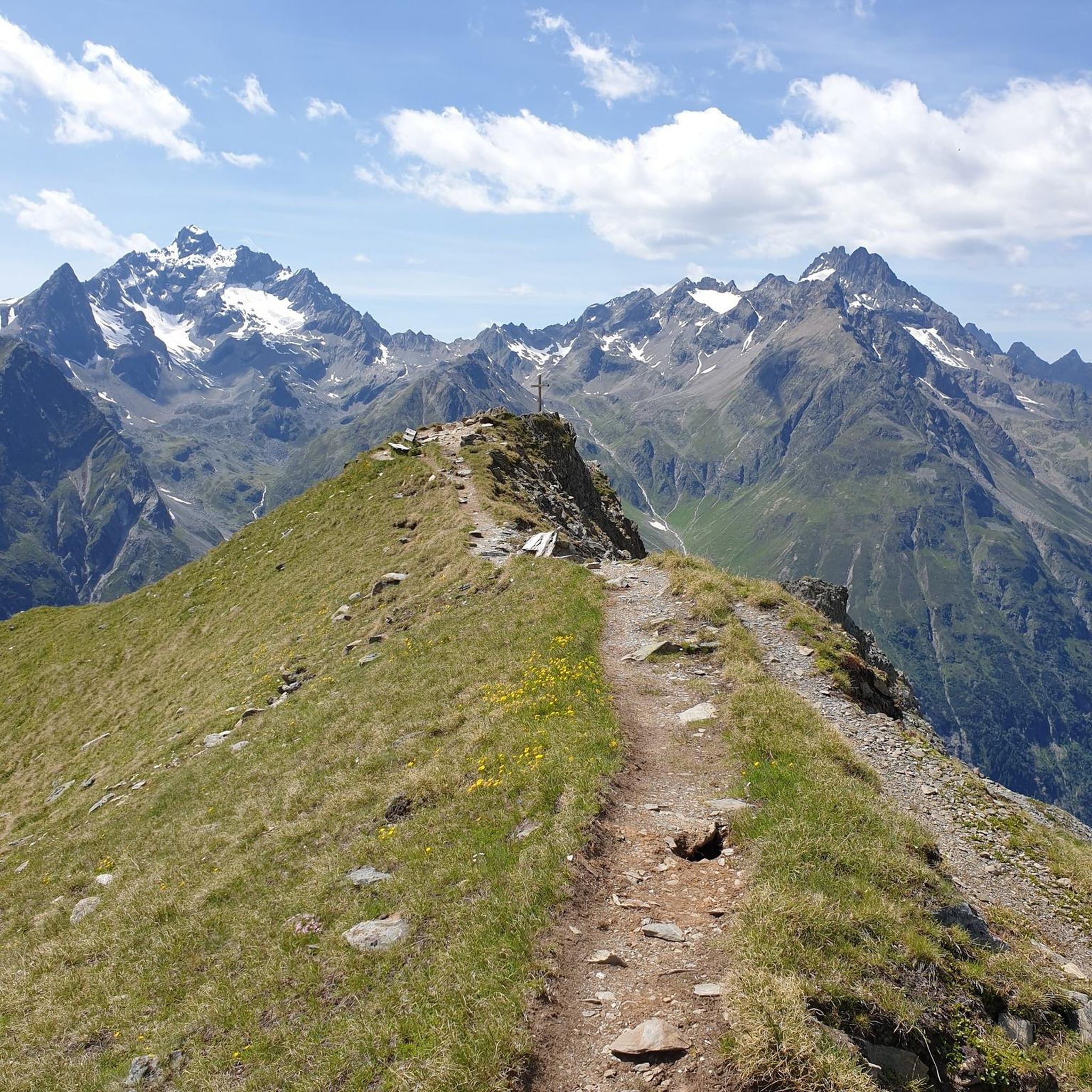
Stockhorn Summit & Panoramic Viewpoint
Highlight • Summit
From here you have a magnificent view of the mountains and the lakes (Thun and Brienz)
Translated by Google •
Tip by

Hinterstockensee
Highlight • Lake
Showing Translation
Tip by

Sign up now to discover places like this
Get recommendations on the best single tracks, peaks, & plenty of other exciting outdoor places.
Chrindi Middle Station (Stockhornbahn)
Highlight • Rest Area
Translated by Google •
Tip by

Oberstockensee
Highlight • Lake
Showing Translation
Tip by

Karst Rock Formations
Highlight • Natural Monument
Origin: The soluble limestone is eroded by the weathering and the slightly acid rain. This creates cracks, crevices, gullies and caves in the …
Translated by Google •
Tip by

Sign up for free to discover even more natural monuments around Zwieselberg.
Already have an account?
Start today with a free account
Your next adventure awaits.
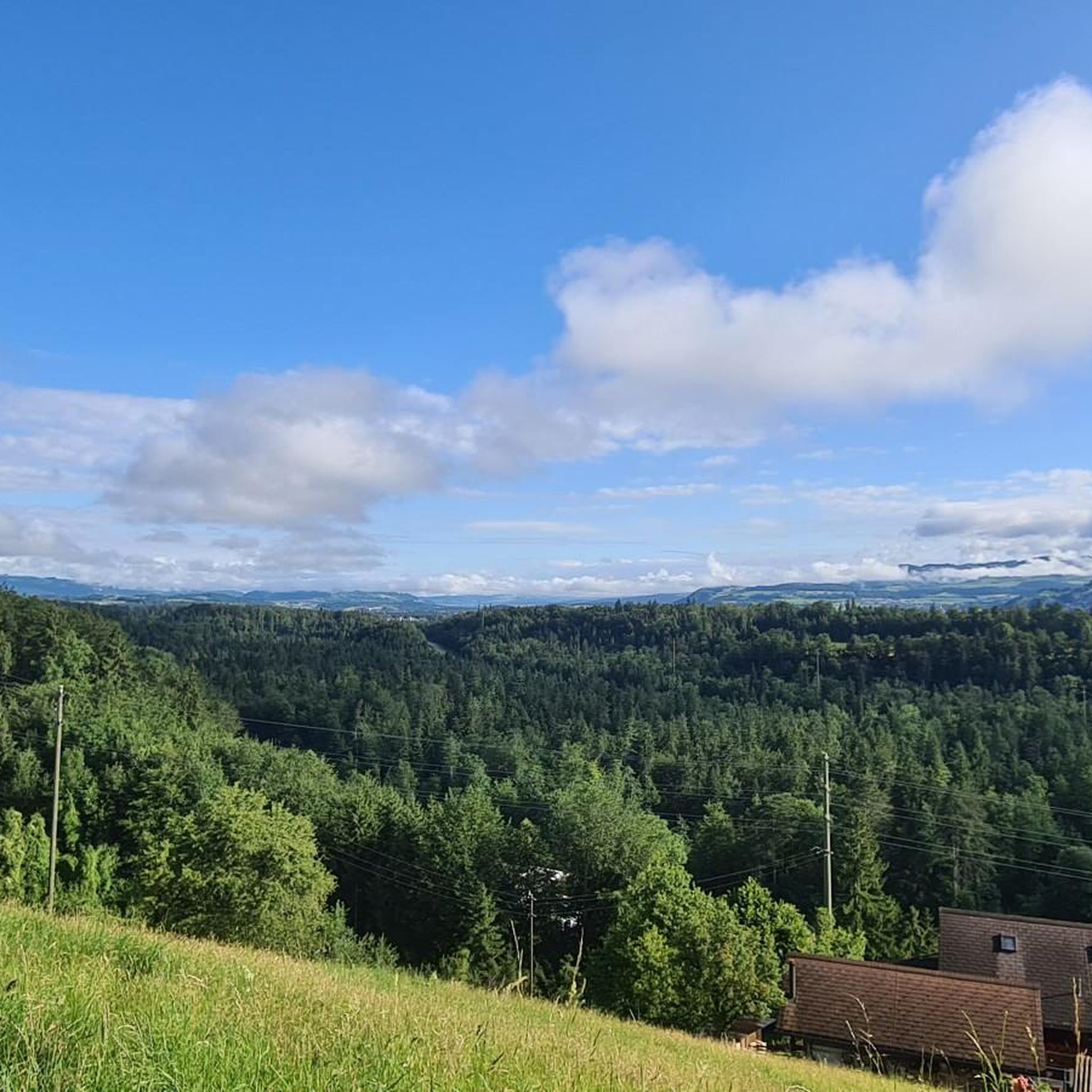
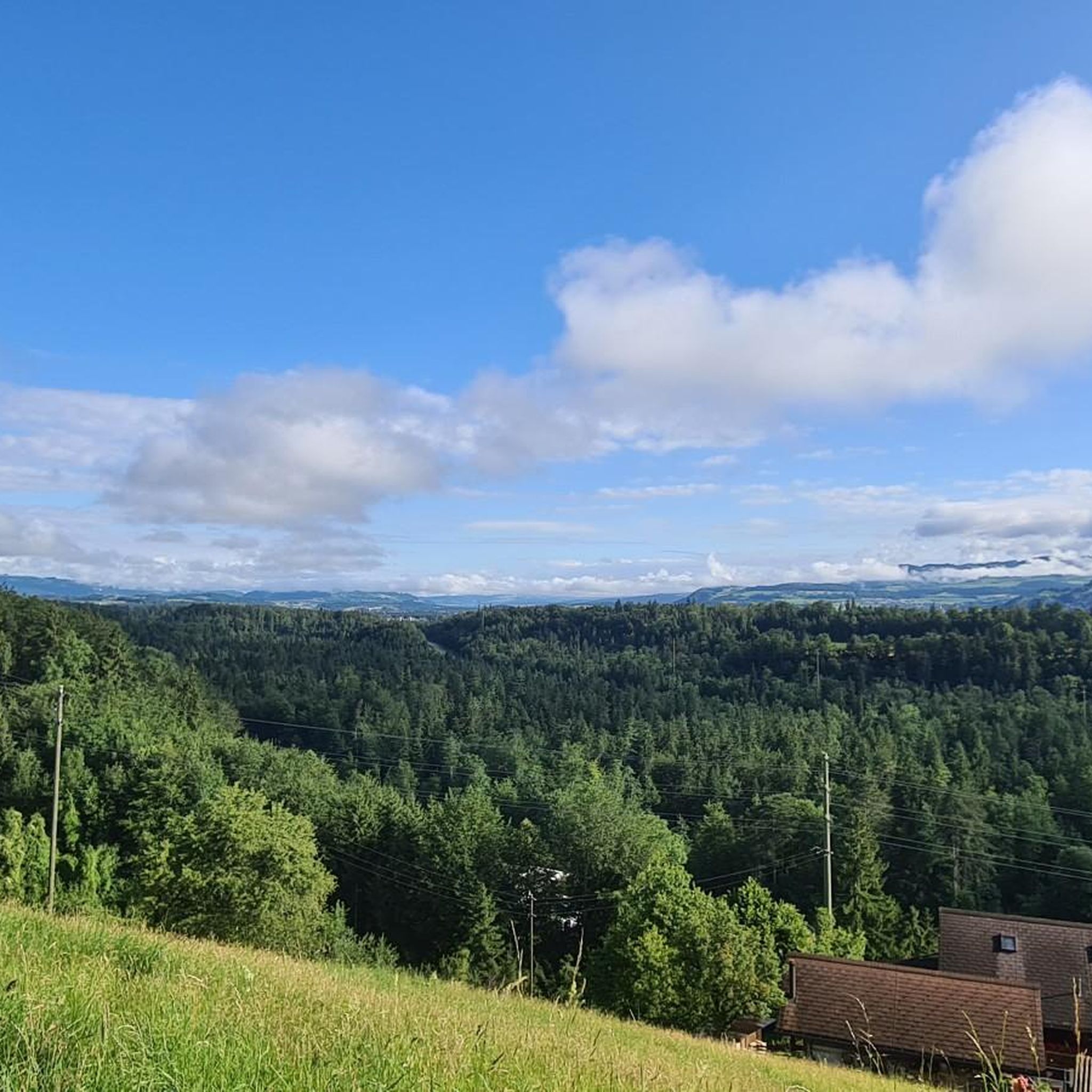

Tips from the Community

The water was not ice-cold as expected after the record summer. A few people were swimming. There are many small fish in the lake.
0
0

Great ascent aid for snowshoe hikes🥰
1
0

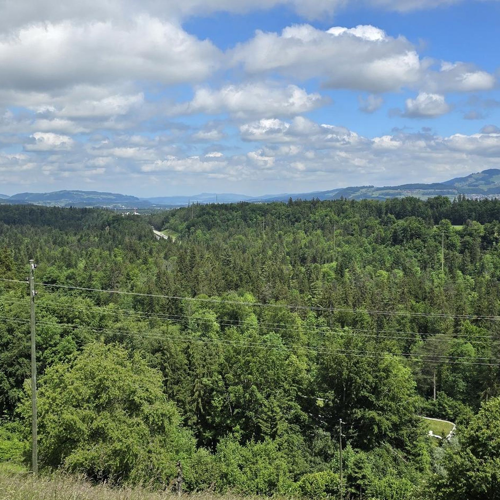
🌊 Oberstockensee – A mountain lake straight out of a picture book 🏔️✨ Oberstockensee is idyllically situated at around 1,650 m altitude, nestled in the impressive mountain world of the Stockhorn. It is a true natural jewel and perfect for a relaxing break in the Alps. 🥾 Accessibility: Start from the Chrindi middle station 🚡 🌟 Highlights: Crystal-clear water – ideal for cooling off on hot days ❄️ Reflecting mountain scenery – perfect for photos 📸 Fishing allowed – a paradise for anglers 🎣
1
0
Karst rock is formed by the weathering and dissolution of limestone, dolomite or gypsum. Over thousands of years, water has formed impressive landscapes with spectacular rock formations. 🌊 Formation: Rainwater, which is slightly acidic, slowly erodes limestone and forms caves, sinkholes, gorges and bizarre rock formations. 📍 Well-known karst areas: Schrattenfluh (CH), Dolomites (IT), Karst region of Slovenia
0
0
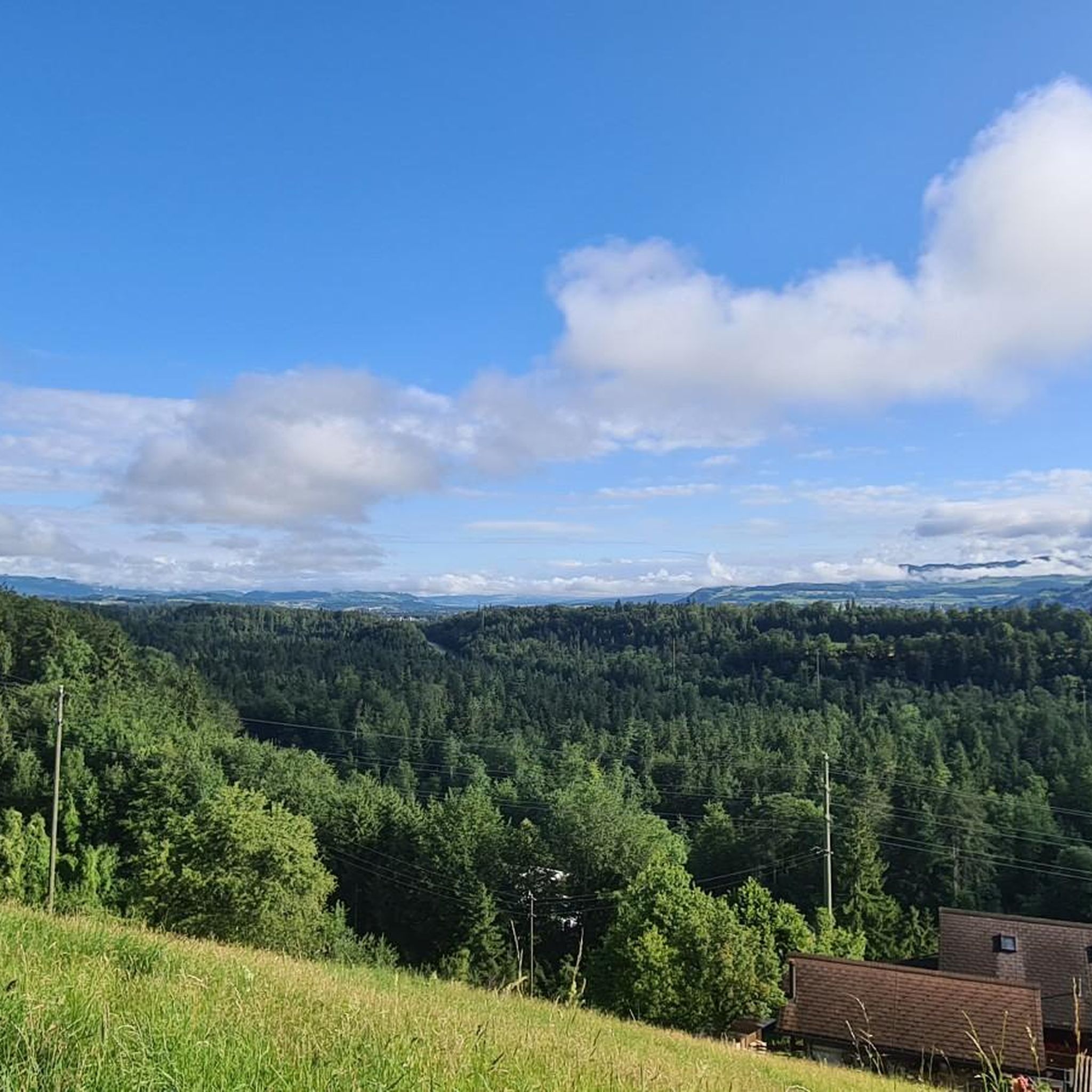
🚡 Chrindi middle station - the gateway to adventure on the Stockhorn 🏔️✨ The Chrindi middle station is the perfect starting point for unforgettable experiences around the Stockhorn: 🌊 Hinterstockensee: Can be reached in just a few minutes - ideal for swimming, fishing or simply relaxing by the water. 🥾 Hiking paradise: Start varied hikes here with breathtaking views of the Simmental and the Bernese Alps. 🚠 Onward journey: Take the Stockhorn cable car to the summit station for a 360° panorama.
0
1

starting point for beautiful snowshoe tours
11
2
Beautiful panorama
3
0
Beautiful panorama on the summit
3
1
Frequently Asked Questions
What kind of natural features can I expect to see around Zwieselberg?
The Zwieselberg area is characterized by diverse natural features, including rivers, lakes, and unique rock formations. You can explore picturesque valleys like the Glütschbachtal, discover rugged Karst Rock Formations, and enjoy elevated viewpoints offering scenic vistas.
Are there any family-friendly natural monuments in the Zwieselberg region?
Yes, several natural monuments are suitable for families. The Glütschbachtal Stream and Grottos is a popular spot with a picnic area and fire pits. Additionally, Blauseeli, Uttigen, a ground-fed lake, is a favorite destination for families, especially in summer when the water is knee-deep and there are official barbecue spots.
What are some popular activities near the natural monuments around Zwieselberg?
The region offers various outdoor activities. For cycling enthusiasts, there are numerous routes, including easy touring bicycle paths like the "Thun Lock Bridge – Thun Old Town and Castle loop" or more challenging road cycling routes such as the "Zwieselberg Scenic Road – Gurnigel Ascent loop." You can find more details on these and other cycling options in the Cycling around Zwieselberg and Road Cycling Routes around Zwieselberg guides.
When is the best time to visit the natural monuments in Zwieselberg?
The best time to visit depends on your preferred activities. Summer is ideal for enjoying spots like Blauseeli, Uttigen, which becomes a bathing lake, and the Uttigen Wave on the Aare River is popular on warm days. In winter, Chrindi Middle Station (Stockhornbahn) serves as a starting point for snowshoe tours.
Are there any natural monuments that offer panoramic views?
Yes, several locations provide excellent viewpoints. Chrindi Middle Station (Stockhornbahn), situated at 1,642 meters altitude, offers scenic views. The Karst Rock Formations also provide an interesting perspective of the landscape.
What is unique about the Karst Rock Formations?
The Karst Rock Formations are a distinctive natural monument featuring rugged limestone that has been eroded by weathering and slightly acidic rain. This process creates a unique landscape of cracks, crevices, gullies, and caves, with an intricate underground water network.
Can I find places to eat or rest near the natural monuments?
Yes, for instance, at Chrindi Middle Station (Stockhornbahn), there is a restaurant offering snacks and simple food. The Glütschbachtal Stream and Grottos also features an extensive picnic area with tables and fire pits, making it a great spot for a break.
What do visitors say about the natural monuments in Zwieselberg?
Visitors appreciate the diverse landscape and unique features. For example, the Glütschbachtal Stream and Grottos is described as a "picturesque and secluded valley" and a "beautiful place to linger, enjoy, have a picnic." The Blauseeli, Uttigen is noted as a "nice resting place" and a popular destination for families.
Are there any challenging natural monuments or activities for experienced adventurers?
For those seeking a challenge, the Uttigen Wave on the Aare River is notorious among "Aareböötler" (Aare boaters), requiring a certain amount of practice for kayaking. Additionally, there are difficult gravel biking routes, such as the "Gestelen Pass loop" or the "View of Lake Thun loop," which can be found in the Gravel biking around Zwieselberg guide.
How can I access Chrindi Middle Station (Stockhornbahn)?
Chrindi Middle Station (Stockhornbahn) is accessible via the Stockhornbahn cable car. It is located at 1,642 meters altitude and serves as a starting point for various activities. You can find the current timetable and prices on the official Stockhornbahn website.
What is the Glütschbachtal Stream and Grottos known for?
The Glütschbachtal Stream and Grottos is known for its picturesque and secluded valley, a meandering stream, and natural caves. It's a popular spot for families, featuring a well-equipped picnic area with fire pits and wood provided, making it ideal for a relaxing day out in nature.
Are there any natural monuments that are particularly popular with the komoot community?
Yes, the natural monuments around Zwieselberg are highly appreciated by the komoot community. The highlights featured in this guide have collectively received over 300 upvotes and more than 200 photos from visitors, indicating their popularity and scenic appeal.
Most popular routes around Zwieselberg
Most popular attractions around Zwieselberg

Get inspired with the komoot mobile app


Explore more
Extend your search for the best caves by checking out these guides of the top ones around Zwieselberg:
