Top 20 Natural Monuments around Rohr (SO)
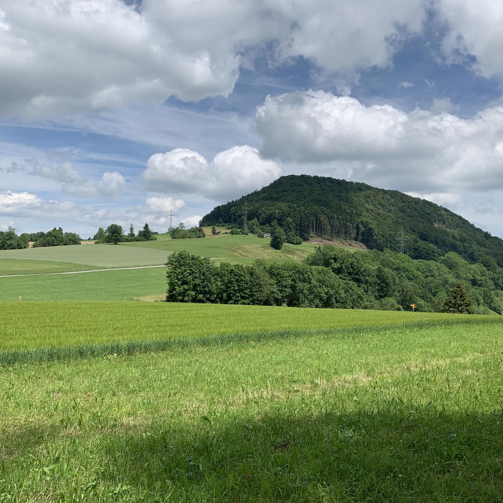
Natural monuments around Rohr (SO) are found within a landscape predominantly characterized by forested land and agricultural areas. Situated on the southern slope of the Schafmatt Pass, the region features flowing water sources that contribute to its natural scenic beauty. While the former municipality of Rohr (SO) is small, its surroundings offer diverse natural features for exploration.
Best natural monuments around Rohr (SO)
- The most popular natural monument is Wisenberg Observation Tower, an observation tower that provides a 360-degree…
Last updated: September 29, 2026
Wisenberg Observation Tower
Highlight • Monument
The forest grew higher and higher, making it necessary to expand the tower.
Translated by Google •
Tip by

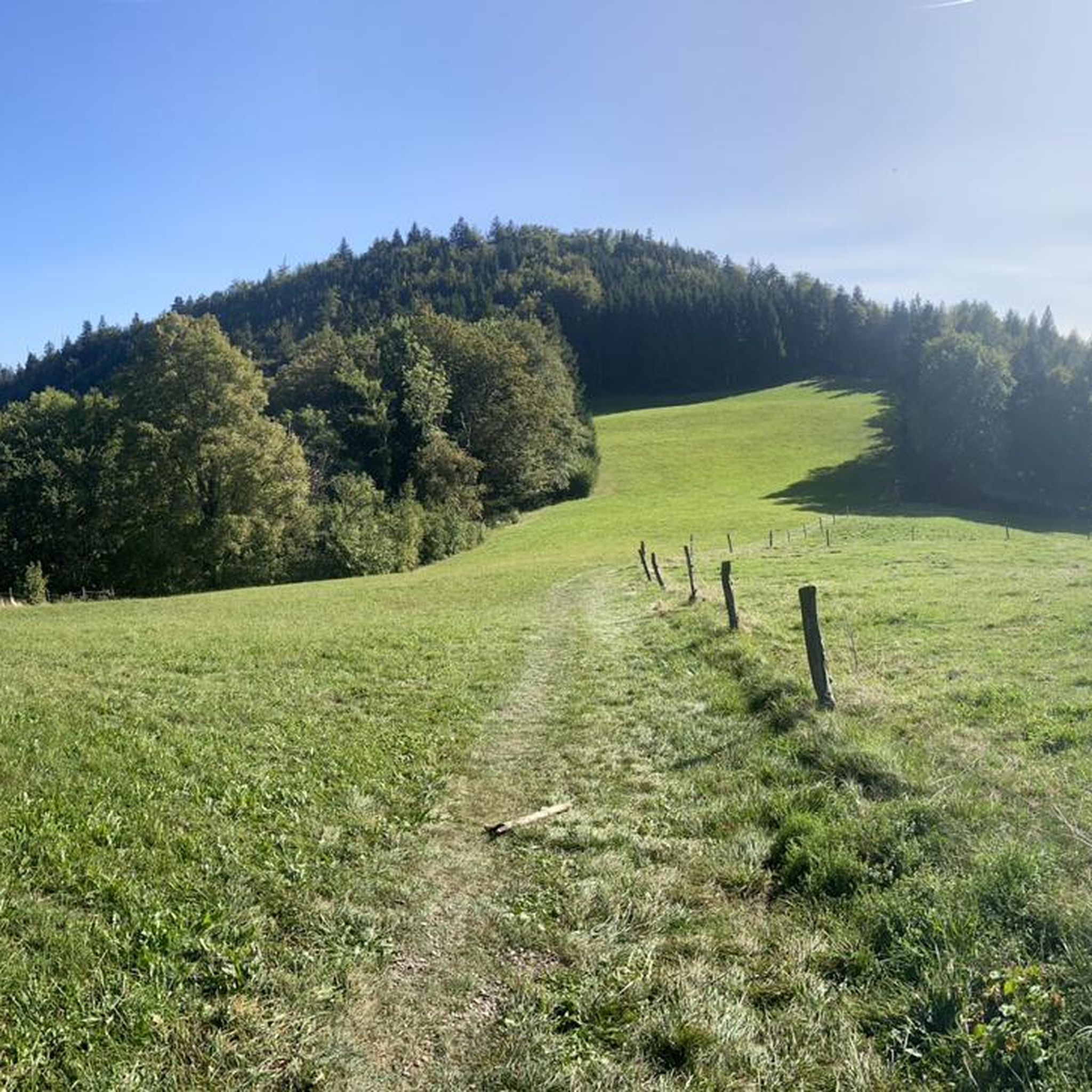
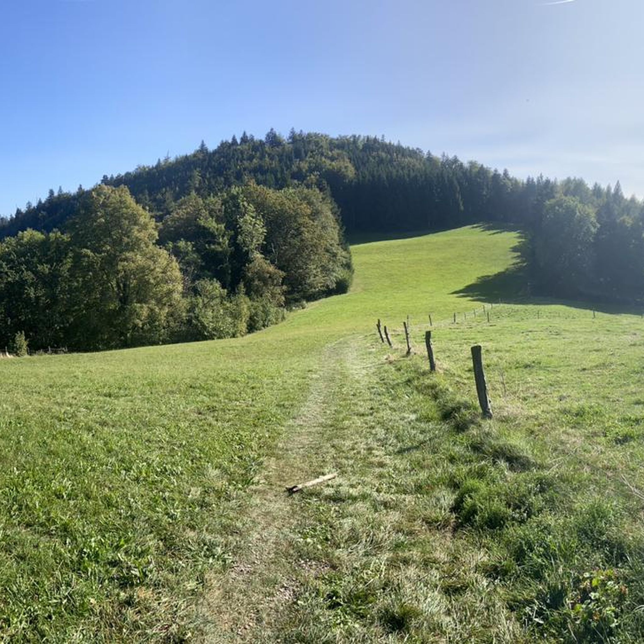
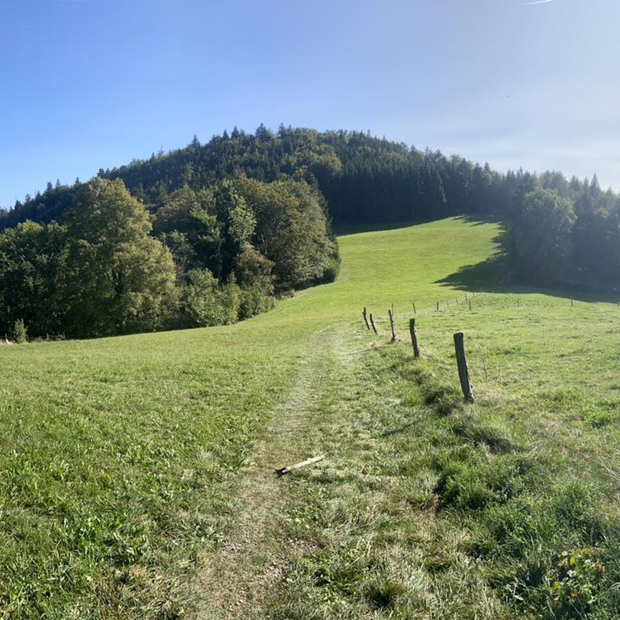
Geissfluhgrat — Highest point in the Canton of Aargau
Highlight • Summit
Unfortunately, from here you do not have the brilliant view as from the Geissflue.
Translated by Google •
Tip by
Sign up now to discover places like this
Get recommendations on the best single tracks, peaks, & plenty of other exciting outdoor places.
Wartenfels Castle
Highlight • Castle
wartenfels.ch
Translated by Google •
Tip by

Rünenberger Giessen
Highlight • Waterfall
Translated by Google •
Tip by

Bruderloch Cave
Highlight • Cave
Translated by Google •
Tip by

Sign up for free to discover even more natural monuments around Rohr (SO).
Already have an account?
Start today with a free account
Your next adventure awaits.

Tips from the Community

Schloss Wartenfels is located above Lostorf in the canton of Solothurn. The medieval castle complex was built in the 13th century and sits enthroned on a wooded ridge in the Jura mountains. The complex offers a beautiful view over the Mittelland region to the Alps. Today, the castle is a popular destination for excursions and can be partially visited. The combination of historic walls, forest paths, and the tranquil surroundings is particularly charming. The castle provides an impressive insight into the medieval history of the region.
4
0

Described above is the upper waterfall, the "Rünenberger Gießen", where the water falls over a curved rock face 18 m into the depths, forming a stately tufa pyramid below, with the jet atomizing roaring and foaming depending on the water level. In winter, fascinating icicle formations are created at sub-zero temperatures. Above the waterfall is the "Löligumpi", where you could swim in the past. A little further down follows the Kleine Giessen - also with a beautiful tuff cone.
0
0

A magnificent place. There's water in the cave, and it's amazing how much cooler it is even at the entrance. To get there, you should have a steady footing and a fairly good head for heights.
1
0
The Bruderloch cave is a unique natural monument and, like the surrounding forest, is protected. The rocks on the edge of the Eital valley are not only impressive with their bizarre weathering forms, they are also home to the Bruderloch, one of the longest cave systems in the Basel region. Water was able to penetrate deep into the rock along cracks and, over thousands of years, chemically dissolve the limestone (= karst). This is how three caves were created in the immediate vicinity: the Bärenloch with its 30,000-year-old cave bear finds below the waterfall, the Teufelsküche in the Aleten and the Bruderloch, which is at least 300 m deep. ..... https://www.naturschutzwenslingen.ch/spezielle-orte/bruderloch-hoehle
4
0

Ideal if you can visit the waterfall during the week. There are very nice fire pits.
1
0
Very exciting cave that apparently leads several 100 meters into the rock. Don't visit alone!
4
0
Since the Wiesenberg is in the forest, this observation tower makes sense. It takes hikers above the treetops and allows a 360-degree panorama. There are panorama boards. The climb is worth it.
6
0

The Bruderloch is an almost 300 meter long cave system and is protected. Various rooms can be discovered in the entrance area; a ladder leads up to the main hallway.
4
0
Frequently Asked Questions
What kind of natural monuments can I expect to find around Rohr (SO)?
The area around Rohr (SO) features a mix of natural and historical sites. You can explore observation towers like the Wisenberg Observation Tower, significant summits such as Geissfluhgrat — Highest point in the Canton of Aargau, and historical landmarks like Wartenfels Castle. The landscape is predominantly characterized by forested land and agricultural areas, with flowing water sources contributing to its scenic beauty.
Are there any prominent natural landmarks directly within the former municipality of Rohr (SO)?
The former municipality of Rohr (SO) itself is small and primarily consists of forested and agricultural land. While it contributes to the natural scenic beauty of the Solothurn canton, it does not feature individually prominent natural monuments that are major tourist destinations. Significant natural landmarks, such as the Verena Gorge or Balm waterfall, are typically found in other, larger natural areas within the broader Canton of Solothurn.
Which natural monuments offer the best panoramic views?
For expansive panoramic views, the Wisenberg Observation Tower is an excellent choice. It provides a 360-degree panorama above the treetops. Additionally, Wartenfels Castle offers great views over the Niederamt.
Are there family-friendly natural monuments to visit near Rohr (SO)?
Yes, several natural monuments are suitable for families. The Wisenberg Observation Tower is considered family-friendly, offering an engaging climb and rewarding views. The Rünenberger Giessen waterfall is also a small, meditative spot that can be a pleasant family detour.
What historical sites are considered natural monuments in the area?
The Wartenfels Castle is a notable historical site that is also considered a natural monument. It features a small park on a hill and offers views over the Niederamt, combining historical interest with natural beauty.
Can I explore caves or unique geological features near Rohr (SO)?
Yes, the Bruderloch Cave is a unique geological feature near Rohr (SO). It is an almost 300-meter-long cave system and is protected. The entrance area has various rooms to discover, with a ladder leading to the main hallway.
What outdoor activities can I do near these natural monuments?
The region around Rohr (SO) offers various outdoor activities. You can find numerous routes for mountain biking, road cycling, and general cycling. For example, explore MTB trails like the 'View of the Kettenbrücke in Aarau – Aare Riverside Cycle Path loop from Lostorf' or road cycling routes such as the 'Chilchzimmersattel – Tüfelsschlucht Road loop from Schönenwerd'. You can find more details on these activities in the MTB Trails around Rohr (SO), Road Cycling Routes around Rohr (SO), and Cycling around Rohr (SO) guides.
Are there hiking trails that lead to these natural monuments?
Many natural monuments, such as the Geissfluhgrat — Highest point in the Canton of Aargau, are located directly next to hiking trails, making them easily accessible for walkers. The area is well-suited for exploring on foot, with paths leading through forests and agricultural lands.
What do visitors enjoy most about the natural monuments around Rohr (SO)?
Visitors appreciate the diverse natural features, from the 360-degree panoramas offered by the Wisenberg Observation Tower to the historical significance and views from Wartenfels Castle. The komoot community has shown strong appreciation, with over 390 upvotes and more than 290 photos shared, highlighting the scenic beauty and varied experiences available.
Is the Bruderloch Cave suitable for all visitors?
The Bruderloch Cave is described as an intermediate to challenging experience. It's an almost 300-meter-long cave system, and while the entrance area can be explored, a ladder leads to the main hallway. It's recommended not to visit alone due to its challenging nature.
Are there any waterfalls to visit in the vicinity?
Yes, the Rünenberger Giessen is a small but meditative waterfall in the area. It's a worthwhile detour and can be reached via a pleasant path, with a large barbecue area located nearby.
What is the highest point in the Canton of Aargau near Rohr (SO)?
The highest point in the Canton of Aargau is the Geissfluhgrat, which is located right next to a hiking trail. It marks a significant landmark in the Swiss Jura and is a popular spot for hikers, though the most brilliant views are often found from the nearby Geissflue.
Most popular routes around Rohr (SO)
Most popular attractions around Rohr (SO)

Get inspired with the komoot mobile app


Explore more
Extend your search for the best caves by checking out these guides of the top ones around Rohr (SO):
