Top 20 Mountain Passes around Wartau
Best mountain passes around Wartau are found within the municipality, situated at the base of the Alvier and Gonzen massifs in Eastern Switzerland. The area features a network of hiking trails that provide pass-like experiences through elevated terrain. These routes often lead to summits or traverse high-altitude areas, offering panoramic views of the surrounding mountains and the Rhine Valley.
Best mountain passes around Wartau
- The most popular mountain pass is Augstenberg Summit, a summit that features narrow paths leading…
Last updated: June 26, 2026
Augstenberg Summit
Highlight • Summit
Translated by Google •
Tip by

Ölberg Pass
Highlight • Mountain Pass
Translated by Google •
Tip by

Sign up now to discover places like this
Get recommendations on the best single tracks, peaks, & plenty of other exciting outdoor places.
Sign up for free
Fortress St. Luzisteig
Highlight • Historical Site
Combat shooting up to company level or simulator-supported operational exercises up to reinforced units can be carried out at the Walenstadt weapons range …
Translated by Google •
Tip by

Gaflei Saddle
Highlight • Mountain Pass
Translated by Google •
Tip by

Saroja Pass (Liechtenstein–Austria)
Highlight • Mountain Pass
Showing Translation
Tip by

Sign up for free to discover even more mountain passes around Wartau.
Sign up for free
Already have an account?
Start today with a free account
Your next adventure awaits.
Login or Signup
Popular around Wartau
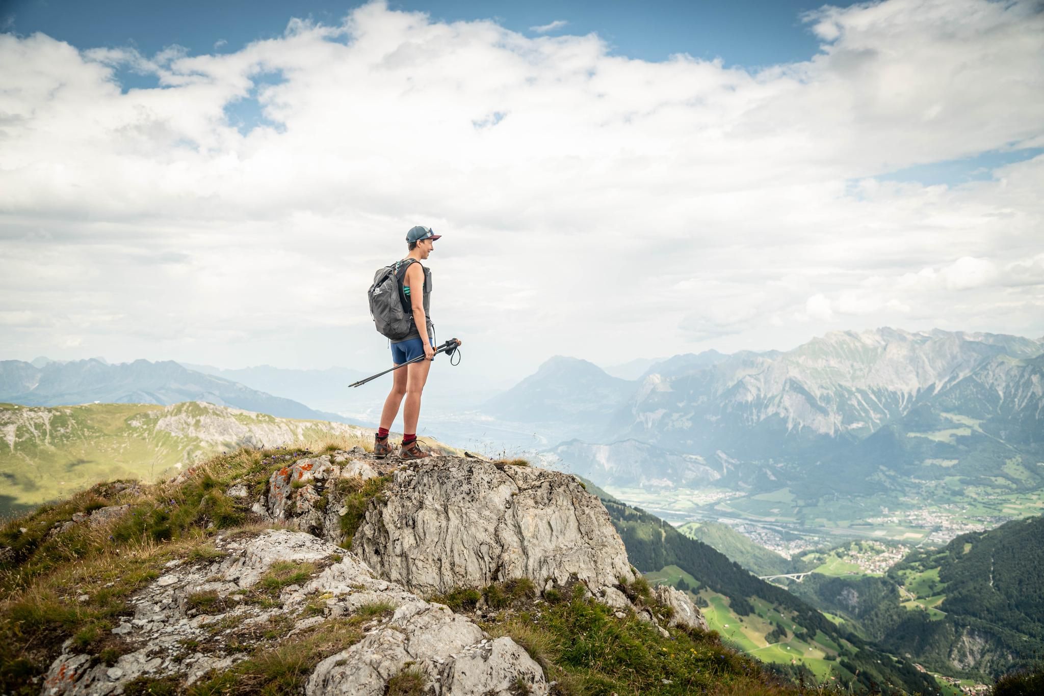
Peak bagging hikes in Heidiland
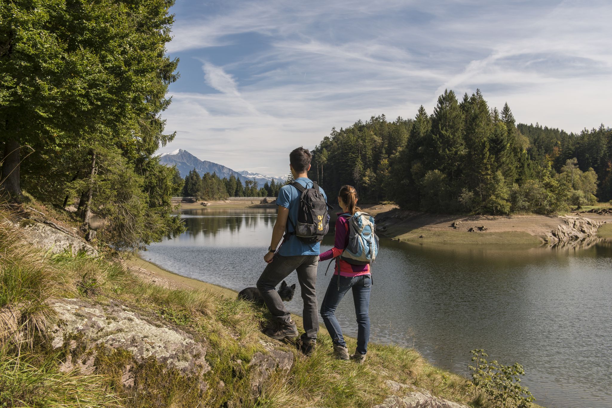
Summer in Eastern Switzerland – 10 hikes in Heidiland

Blue lakes, wide panoramas & autumnal splendour – hiking in Heidiland
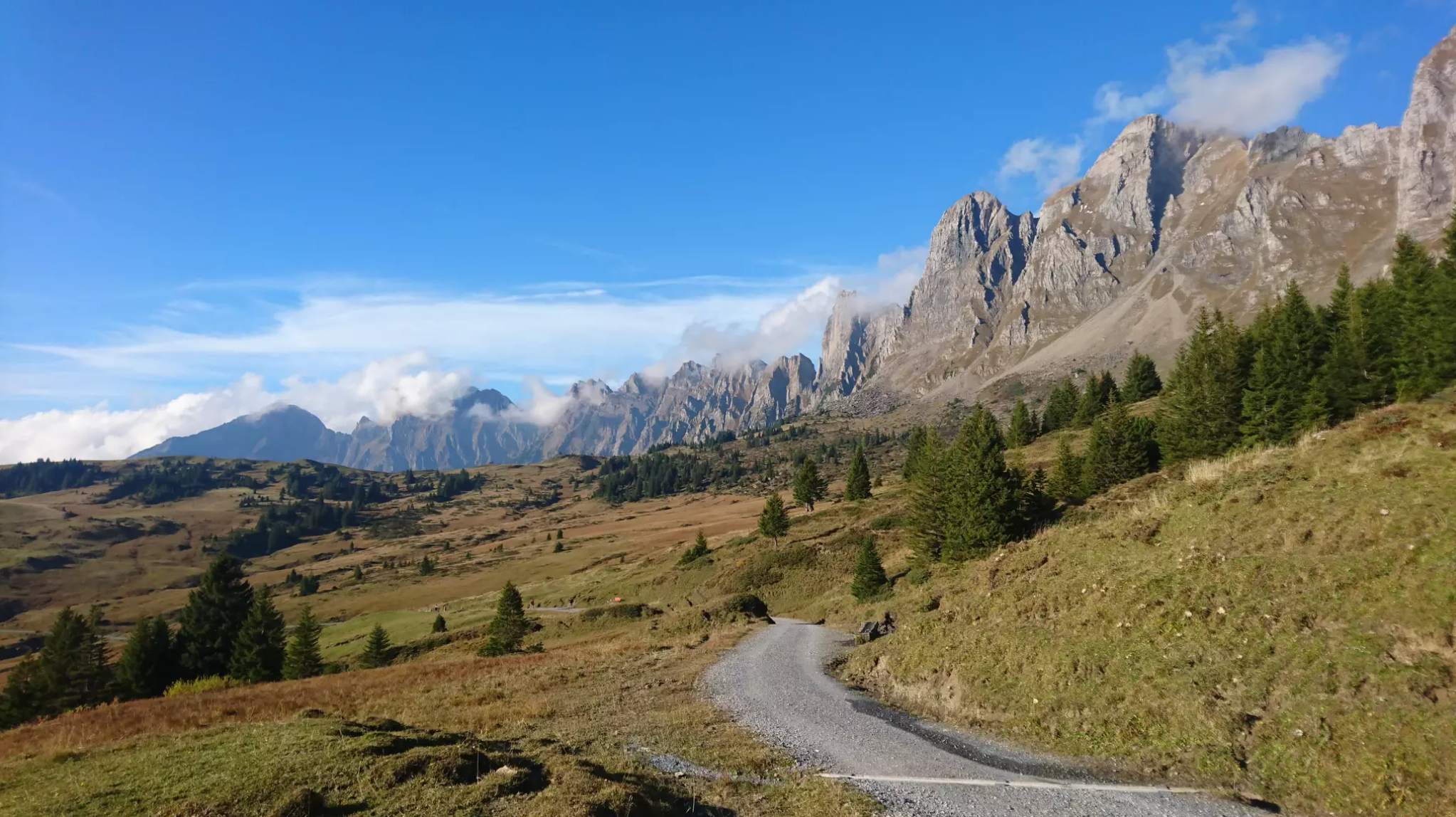
Wonderful panoramic bike tours over Lake Walensee
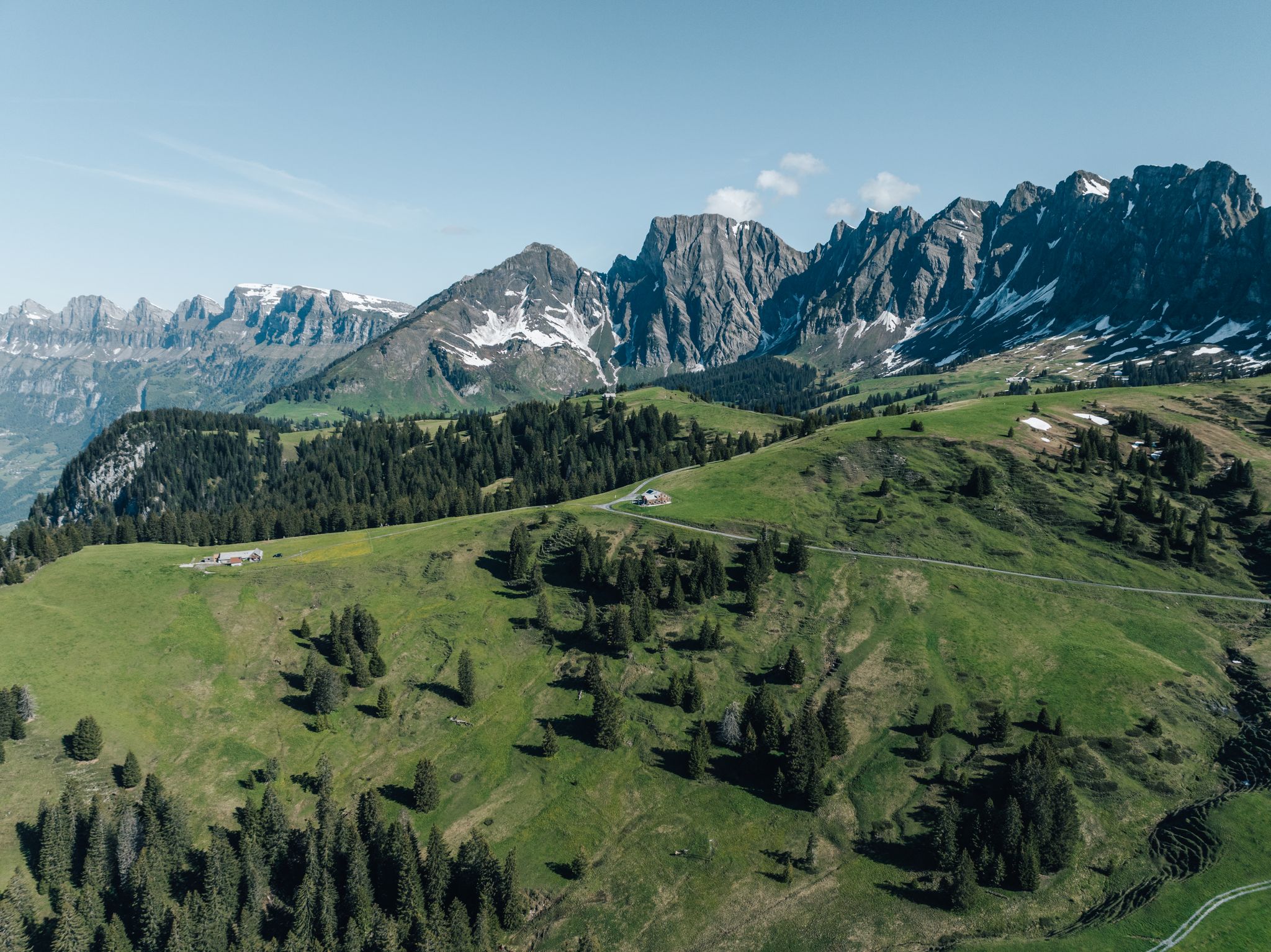
Hochebene Palfries: Entdecke die schönsten Wanderungen
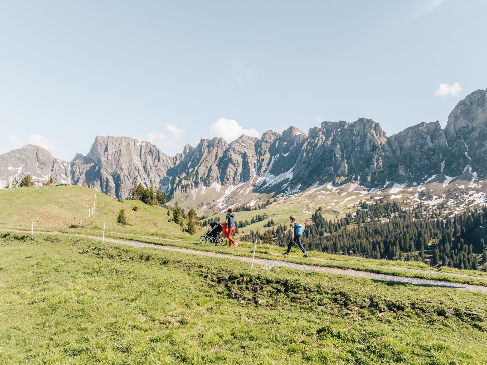
Sennis-Rundtour: Dein Kombi-Erlebnis mit Seilbahn, Wanderung & Bus
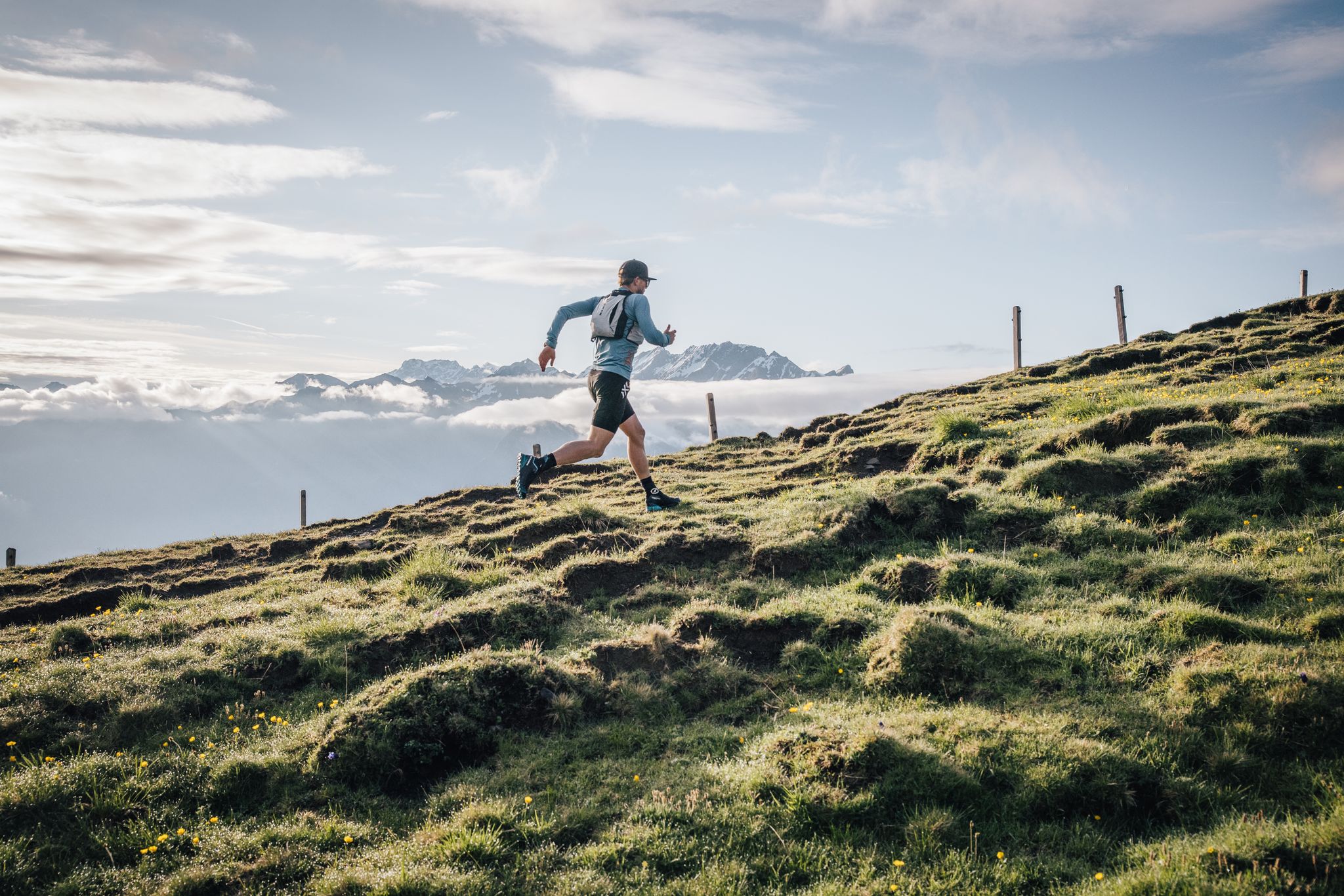
Trailrunner-Geheimtipp: Herausfordernde Trails & bequeme Rückfahrt mit der Seilbahn Palfries
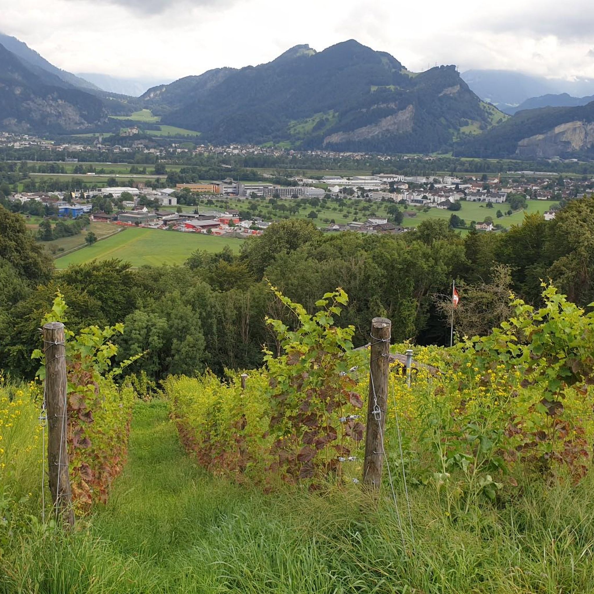
Hiking around Wartau
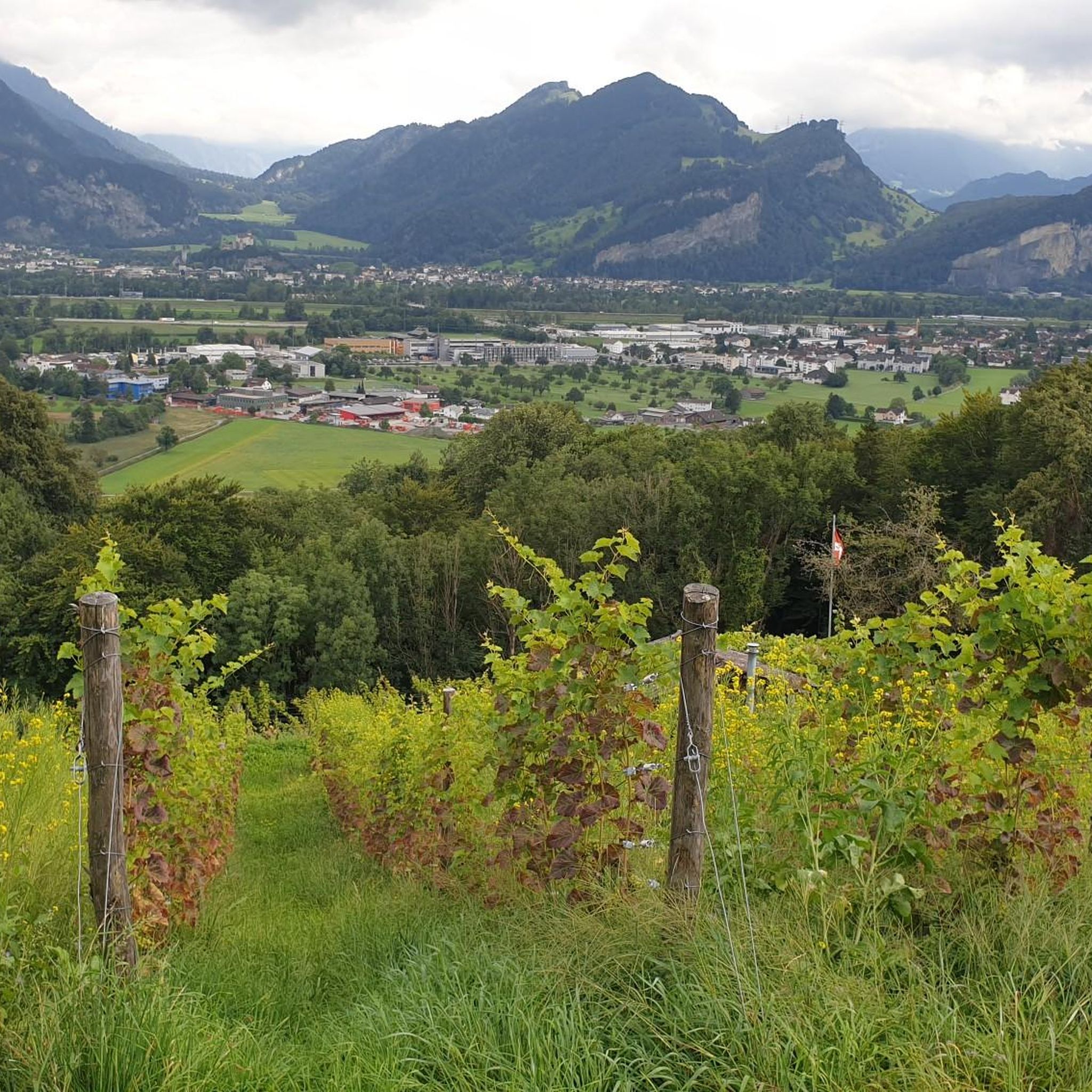
Road Cycling Routes around Wartau
MTB Trails around Wartau
Other adventures around Wartau


Tips from the Community

pretty here, very pretty
3
0

The St. Luzisteig Fortress was a defensive position of the Swiss Army. It is located on the St. Luzisteig Pass at an altitude of 713 meters in the canton of Graubünden and was part of the Sargans fortifications. The St. Luzisteig Pass is considered the most contested place in Switzerland, and the fortress is a military-historical monument of national importance. Source: St. Luzisteig Fortress - Wikipedia https://share.google/n74IjdXHJsqFGmERi
6
0

Do this tour during the week and often you will be alone
0
0

very low level of difficulty.
0
1

The Gamperfin Inn invites you to stop by. It offers a beautiful, natural setting.
1
0

The Saroja Saddle is located on the border between Liechtenstein and Austria on the northern foothills of the Three Sisters. The saddle is at 1,650 meters.
1
0
Frequently Asked Questions
What are some of the most popular mountain pass experiences around Wartau?
While Wartau offers high-altitude hiking routes rather than traditional road passes, visitors highly appreciate destinations like Augstenberg Summit, known for its narrow paths, 2,359-meter height, and magnificent summit cross. Another favorite is Ölberg Pass, which provides stunning views over the Rhine Valley and serves as a stopover for various hiking trails. The historic Fortress St. Luzisteig, a military-historical monument, is also a popular spot at 713 meters altitude.
Are there challenging mountain routes for experienced hikers in Wartau?
Yes, the region offers several demanding routes. The Alvier Massif, with its peak at 2,343 meters, features challenging trails that often include ladders and stairs, requiring good fitness. The Gonzen Massif also presents strenuous mountain routes, such as the "Gonzen Summit View – Walserberg Suspension Bridge loop from Wartau," which covers 13.2 km with significant elevation gain. These trails reward hikers with extensive vistas and a true alpine experience.
What kind of views can I expect from the mountain passes and high-altitude trails in Wartau?
The high-altitude routes around Wartau offer breathtaking panoramic views. From the Alvier Massif, you can see across the Rhine Valley and Lake Walen. Ölberg Pass also provides beautiful vistas of the Rhine Valley. From the Gonzen Massif, you'll be treated to phenomenal views of the surrounding mountains and the Rhine Valley, often including the Churfirsten peaks.
Are there any historical sites among the mountain passes near Wartau?
Yes, Fortress St. Luzisteig is a significant historical site. Located on the St. Luzisteig Pass at 713 meters, it's a military-historical monument of national importance and was part of the Sargans fortifications. Additionally, the Saroja Pass, situated on the border between Liechtenstein and Austria, has historical significance, having played a role in military movements and smuggling throughout history.
What are the options for more accessible alpine experiences in the Wartau area?
The Palfries Plateau offers more accessible alpine experiences. You can reach it via a cable car from Ragnatsch, providing a convenient starting point for various mountain excursions. From Palfries, you can find moderate trails like the "Palfries Cable Car – View of Alvier loop from Gauschla," which is 7.1 km and takes about 2 hours 15 minutes. This area features varied terrain, including meadows and forests, making it suitable for those seeking rewarding views without the most strenuous ascents.
What outdoor activities can I do near the mountain passes around Wartau?
The region around Wartau is excellent for various outdoor activities. You can find numerous hiking trails, including challenging summit ascents and moderate loops. For cycling enthusiasts, there are many road cycling routes, such as the "View of Sargans Castle – St. Luzisteig Pass loop from Sevelen." Mountain biking is also popular, with trails like the "Ascent to Regitzer Spitz – St. Luzisteig Pass loop from Balzers." You can explore more options on the dedicated guides for Hiking around Wartau, Road Cycling Routes around Wartau, and MTB Trails around Wartau.
Are there family-friendly options for exploring the mountain passes near Wartau?
While many routes are challenging, the Palfries Plateau offers more accessible options that can be suitable for families, especially when using the cable car for ascent. The Fortress St. Luzisteig is also categorized as family-friendly, offering a mix of history and gentle exploration. When planning, look for trails marked as 'moderate' or 'easy' and consider using cable cars to reduce elevation gain for younger or less experienced family members.
What is the best time of year to visit the mountain passes and high-altitude trails in Wartau?
The best time to visit for hiking and exploring the high-altitude trails is generally during the warmer months, from late spring to early autumn (May to October). During this period, the trails are typically free of snow, and the weather is more stable, offering ideal conditions for panoramic views. Some passes, like Ölberg Pass, also serve as destinations for winter hiking trails, but high-altitude routes can still have significant snow into May, requiring appropriate gear and caution.
What natural features can I expect to see on the trails around Wartau?
The trails around Wartau traverse diverse natural landscapes. You'll encounter alpine meadows, dense forests, and rugged mountain terrain. The Alvier Massif routes are known for alpine flowers and crags. The Palfries Plateau features varied terrain with meadows and forests. Hikers in the Gonzen area might even spot the rare edelweiss. Many routes lead to stunning viewpoints offering expansive vistas of the Rhine Valley, Lake Walen, and surrounding mountain ranges like the Churfirsten.
What do visitors enjoy most about the mountain pass experiences in Wartau?
Visitors consistently praise the magnificent panoramic views over the Rhine Valley and surrounding mountains. The challenging nature of routes like those to the Alvier Summit is often highlighted as rewarding, providing a true alpine experience. The well-prepared paths, even on difficult sections, are also frequently appreciated. The combination of natural beauty, varied terrain, and the sense of achievement from reaching high-altitude viewpoints makes these experiences highly enjoyable.
Is there a mountain pass near Wartau that crosses an international border?
Yes, the Saroja Pass is located on the border between Liechtenstein and Austria. Situated on the northern foothills of the Three Sisters massif at 1,650 meters, it offers a unique cross-border hiking experience with historical significance.
How can I access the Palfries Plateau for hiking?
The Palfries Plateau is conveniently accessible via a cable car from Ragnatsch. This allows hikers to reach the plateau easily, providing a starting point for various mountain excursions and more moderate trails without undertaking a strenuous ascent from the valley floor.
Most popular routes around Wartau
Most popular attractions around Wartau

Get inspired with the komoot mobile app


Explore more
See even more epic mountain passes by checking out these guides around Wartau:
