Top 20 Natural Monuments around Andiast
Best natural monuments around Andiast are found within the Surselva Region of the Swiss canton of Graubünden. This area is characterized by its diverse high-alpine environment, featuring significant geological formations and impressive natural features. The landscape offers a range of experiences, from accessible stream landscapes to challenging mountain ascents. It provides insight into natural processes and human interaction with the environment.
Best natural monuments around Andiast
- The most popular natural monuments is Berglistüber Waterfall, a waterfall that plunges 44…
Last updated: September 29, 2026
Kistenstöckli
Highlight • Summit
Translated by Google •
Tip by

Ochsenstäfeli
Highlight • Lake
Translated by Google •
Tip by

Sign up now to discover places like this
Get recommendations on the best single tracks, peaks, & plenty of other exciting outdoor places.
Lai da Pigniu
Highlight • Monument
Translated by Google •
Tip by

Kärpfbrücke Natural Bridge
Highlight • Natural Monument
Sardona Tectonic Arena UNESCO World Heritage Site
Highlight • Natural Monument
Translated by Google •
Tip by

Sign up for free to discover even more natural monuments around Andiast.
Already have an account?
Start today with a free account
Your next adventure awaits.

Other adventures around Andiast

Tips from the Community


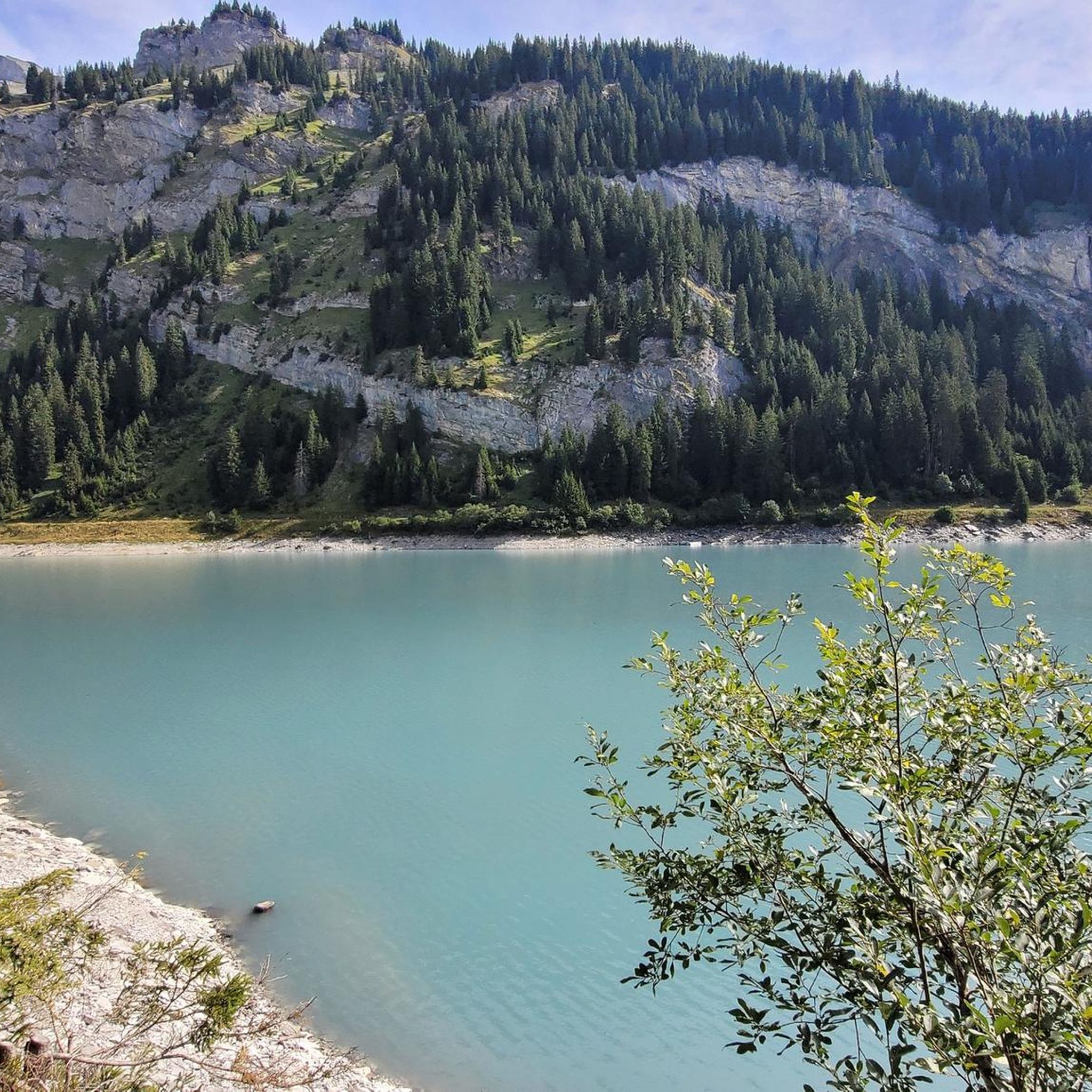
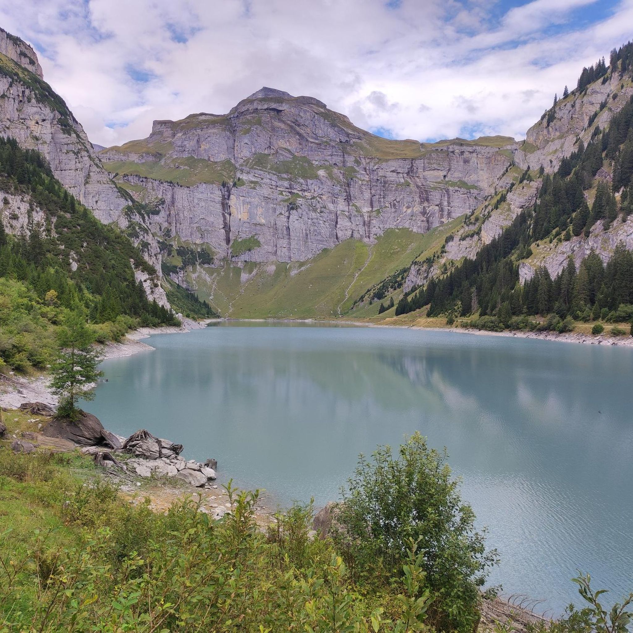
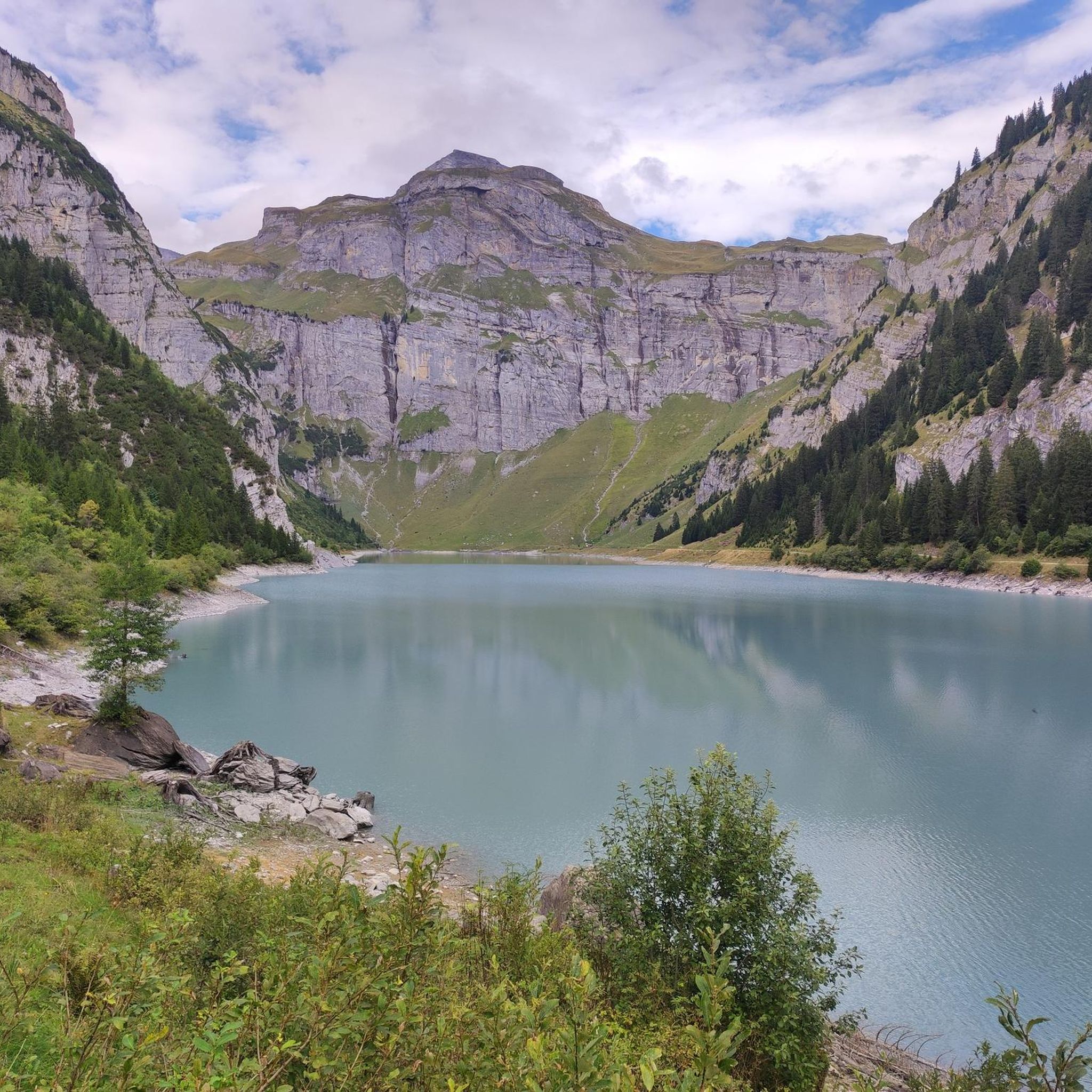
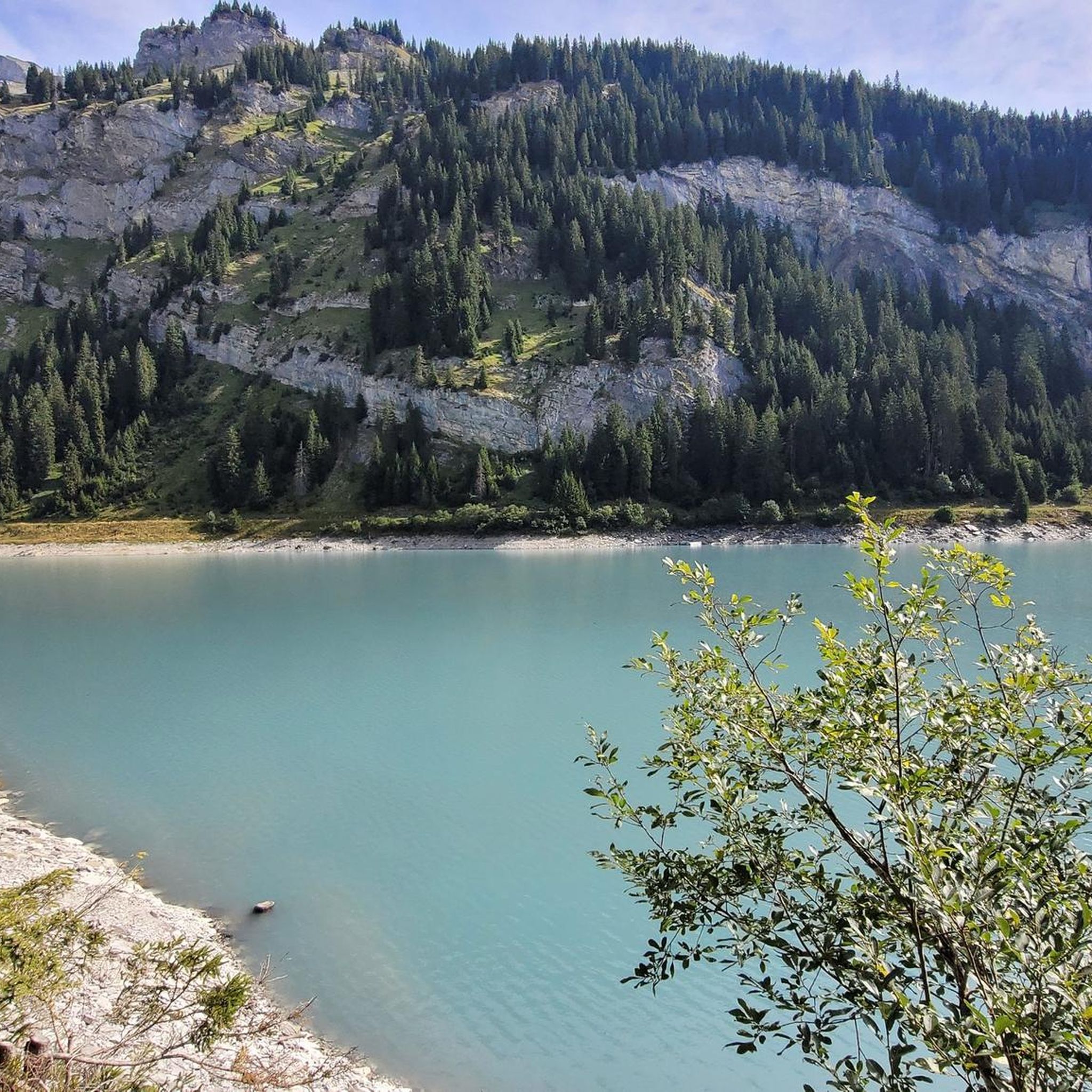
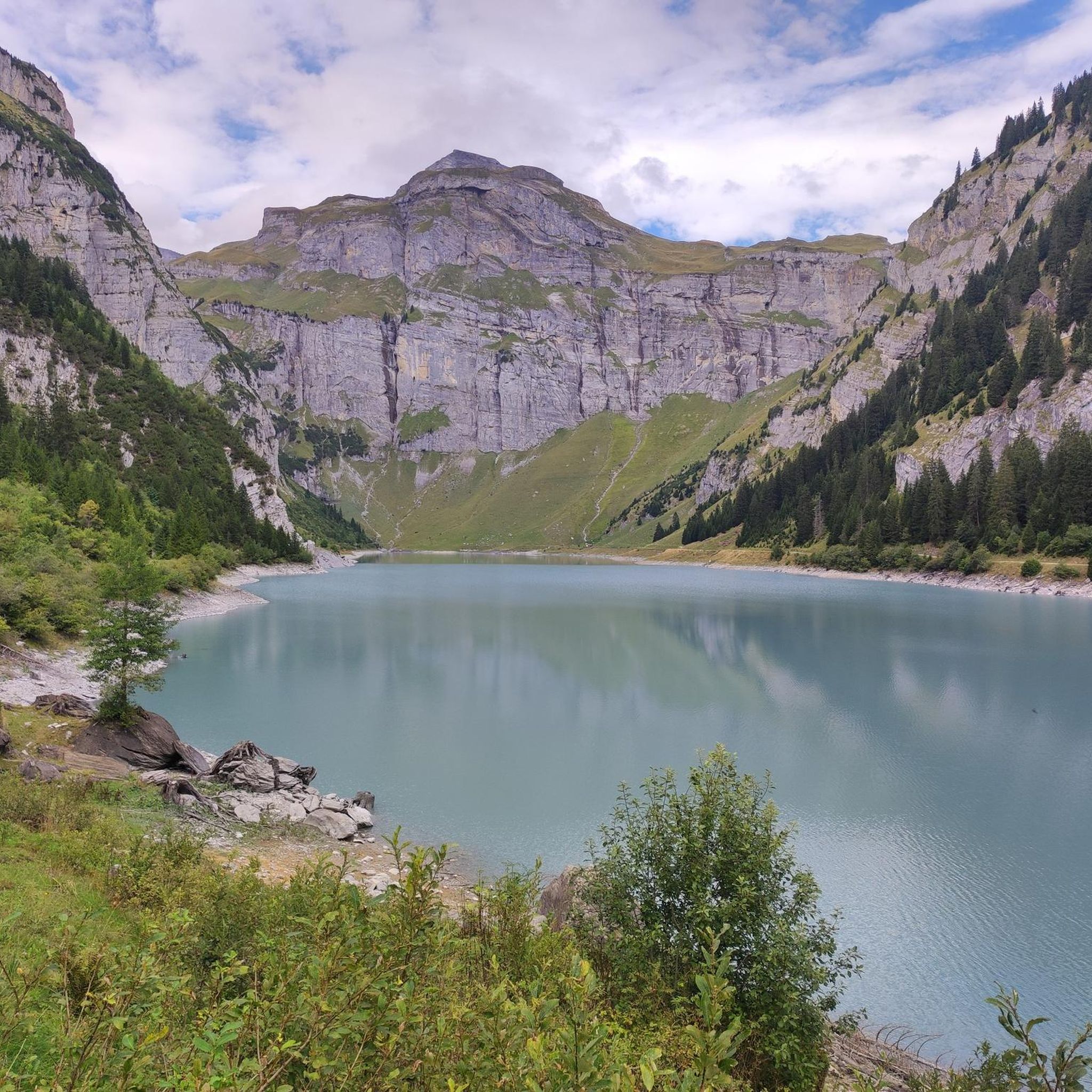
The Lag da Pigniu, also known as Panixersee, is beautifully nestled in an impressive alpine mountain landscape. The turquoise reservoir, the steep rock faces, and the imposing waterfalls at the rear of the lake make this place a special hiking destination. At the waterfalls, there is a nice barbecue and picnic area with tables and benches – ideal for a cozy break in the middle of nature. Important: One side of the path around the lake is currently closed. Therefore, a complete circuit is not possible at the moment. The closure must be strictly observed. Despite the restriction, the trip to Panixersee is worthwhile. Especially the waterfalls and the quiet, impressive mountain backdrop make the visit rewarding.
0
0

Imposing rock faces around the lake and its peculiar color: The Lag da Pigniu is certainly worth an excursion! It is very easily accessible by bike.
0
0


The Muttsee (formerly Mutten See, Muttensee) is a reservoir on the Muttenalp in the southernmost part of the municipality of Glarus South in the canton of Glarus in Switzerland.
2
0
In 1957, the newly founded Kraftwerke Linth-Limmern AG (KLL) began to realize the power plants that had been planned since the beginning of the 1940s by the Nordostschweizerische Kraftwerke (NOK), into which the Muttensee was to be integrated.
2
0
Until 1917, the official name was "Mutten See", then the spelling "Muttensee" appeared. From 1963, the spelling "Muttsee" appeared. The Hühnerbühl is now known in dialect as Hüenderbüel.[3] The kidney-shaped mountain lake was about 1000 meters long and 400 to 500 meters wide. On the Muttenalp plateau known as Hühnerbühl, it covered an area of about 42 hectares. The height of the lake surface was given as 2442 m until 1899, and 2448 m from 1900 to 1962. In the southeast, the lake was drained by a stream, which after a few hundred meters, at about 2400 m, disappeared into the Muttsee cave in the karst subsoil of the Muttenalp.[6] A little to the south, from about 2450 m, the Muttenbach collected the snow water from the Latten via various small tributaries.[5] It led this into the Limmernbach via the Mörthal and the Ochsenblanken.
2
1
The lake is registered in the cantonal landscape register as a landscape of regional importance.[4] In the karst area of the Muttenalp there are - in addition to the Muttsee cave and the Muttsee hut - various other small lakes, most of them distributed southwest of the Muttsee over the Hüenderbüel. The largest neighbor, the Ober See, lies north of the Muttsee at 2474 m. It is the only lake on the Muttenalp that is connected to the Muttsee via its outflow.
2
0
Frequently Asked Questions
What unique geological features can I explore around Andiast?
The region around Andiast is rich in geological wonders. A must-see is the Sardona Tectonic Arena UNESCO World Heritage Site, which offers exceptional insight into mountain formation and plate tectonics, featuring the distinctive Tschingelhörner and the famous Elmer Martinsloch. Another fascinating site is the Kärpfbrücke Natural Bridge, a naturally occurring arch formed by erosion, where you can even explore a cave at low water levels.
Are there any family-friendly natural monuments or walks near Andiast?
Yes, the Berglistüber Waterfall is considered family-friendly and easily accessible, just five minutes from the Klausenpassstrasse. You can even walk behind the 44-meter cascade. Additionally, the Bachlandschaft Ladral, a stream landscape, offers a gentle and accessible natural experience suitable for strollers.
What are some of the most impressive viewpoints or panoramic spots in the area?
For spectacular panoramic views, a challenging ascent to Kistenstöckli is highly recommended. Its flat top provides expansive vistas after a steep climb from the Bifertenhütte. The Andiaster Alpen also offer continuous beautiful panoramas across mountain pastures for hikers seeking broad natural beauty.
What kind of outdoor activities can I do near the natural monuments around Andiast?
The area around Andiast is perfect for various outdoor activities. You can find numerous mountain hikes, such as routes around the Muttsee and AlpinSolar Plant, or the challenging Kistenstöckli Summit loop. For more options, explore the Mountain Hikes around Andiast guide. Cycling enthusiasts can also discover routes like the 'Old Versamer Tobel Bridge' or 'Falera – Rheinschwelle' loops, detailed in the Cycling around Andiast guide.
Can I observe wildlife near the natural monuments?
Yes, the high-alpine environment around Andiast offers opportunities for wildlife observation. The area surrounding the Biferten SAC Hut, for instance, is known for its natural beauty and wildlife, with ibex colonies often visible. Bringing binoculars is recommended for a better experience.
What is the best season to visit the natural monuments around Andiast?
The best season largely depends on the activity. Summer and early autumn are ideal for hiking and exploring high-alpine areas like Kistenstöckli and the Muttsee Reservoir, when trails are clear of snow. Waterfalls like Berglistüber Waterfall are impressive during spring and summer when water flow is high. For exploring the Kärpfbrücke Natural Bridge cave, low water levels are required, which typically occur outside of peak snowmelt or heavy rain periods.
Are there any natural monuments that showcase human interaction with the environment?
The Muttsee Reservoir is a prime example. While originally a mountain lake, it has been integrated into a hydropower energy generation concept since 1968. It features the longest dam wall in Switzerland and is the highest reservoir when fully filled. Since 2021, Switzerland's largest alpine photovoltaic system has been under construction on its dam wall, showcasing impressive engineering in a high-alpine setting.
What should I bring for a hike to the natural monuments in Andiast?
For most hikes, especially to higher elevations or challenging sites like Kistenstöckli or Kärpfbrücke Natural Bridge, sturdy hiking boots are essential. Layers of clothing are advisable due to changing mountain weather. For the Kärpfbrücke, some scrambling experience might be helpful due to slippery rocks. Always carry enough water, snacks, and a map or GPS device. Binoculars are recommended for wildlife viewing near the Biferten SAC Hut area.
Are there challenging trails for experienced hikers among the natural monuments?
Absolutely. The ascent to Kistenstöckli from the Bifertenhütte is steep and partly exposed, with sections secured by chains, making it suitable for experienced hikers. The Kärpfbrücke Natural Bridge also involves challenging terrain with slippery rocks and requires some scrambling experience, especially if you venture into the cave.
What do visitors enjoy most about the natural monuments around Andiast?
Visitors frequently praise the stunning panoramic views from summits like Kistenstöckli and the unique experience of walking behind the Berglistüber Waterfall. The impressive scale and engineering of the Muttsee Reservoir in its high-alpine setting also receive high acclaim. The geological significance of the Sardona Tectonic Arena is also a major draw for those interested in natural history.
Are there any natural monuments that are less known but still worth visiting?
While not explicitly listed as a 'monument,' the Andiaster Alpen offer extensive and challenging hiking experiences with continuous beautiful panoramas, providing a rewarding visit for those seeking expansive natural beauty away from the most popular spots. The Bachlandschaft Ladral also offers a serene and accessible natural experience for a quieter outing.
Most popular routes around Andiast
Most popular attractions around Andiast

Get inspired with the komoot mobile app


Explore more
Extend your search for the best caves by checking out these guides of the top ones around Andiast:
