Top 20 Natural Monuments around Bonaduz
Best natural monuments around Bonaduz are situated in the Grisons region of Switzerland, characterized by dramatic landscapes and outdoor opportunities. The area features a 13-kilometer-long and up to 400-meter-deep gorge, carved by the Vorderrhein river. This region offers diverse natural settings, from river gorges to protected moorlands and tranquil lakes, providing a range of natural monuments to explore.
Best natural monuments around Bonaduz
- The most popular natural monuments is Il Spir Viewing Platform – Rhine Gorge, a viewpoint that…
Last updated: July 10, 2026
Il Spir Viewing Platform – Rhine Gorge
Highlight • Viewpoint
Translated by Google •
Tip by

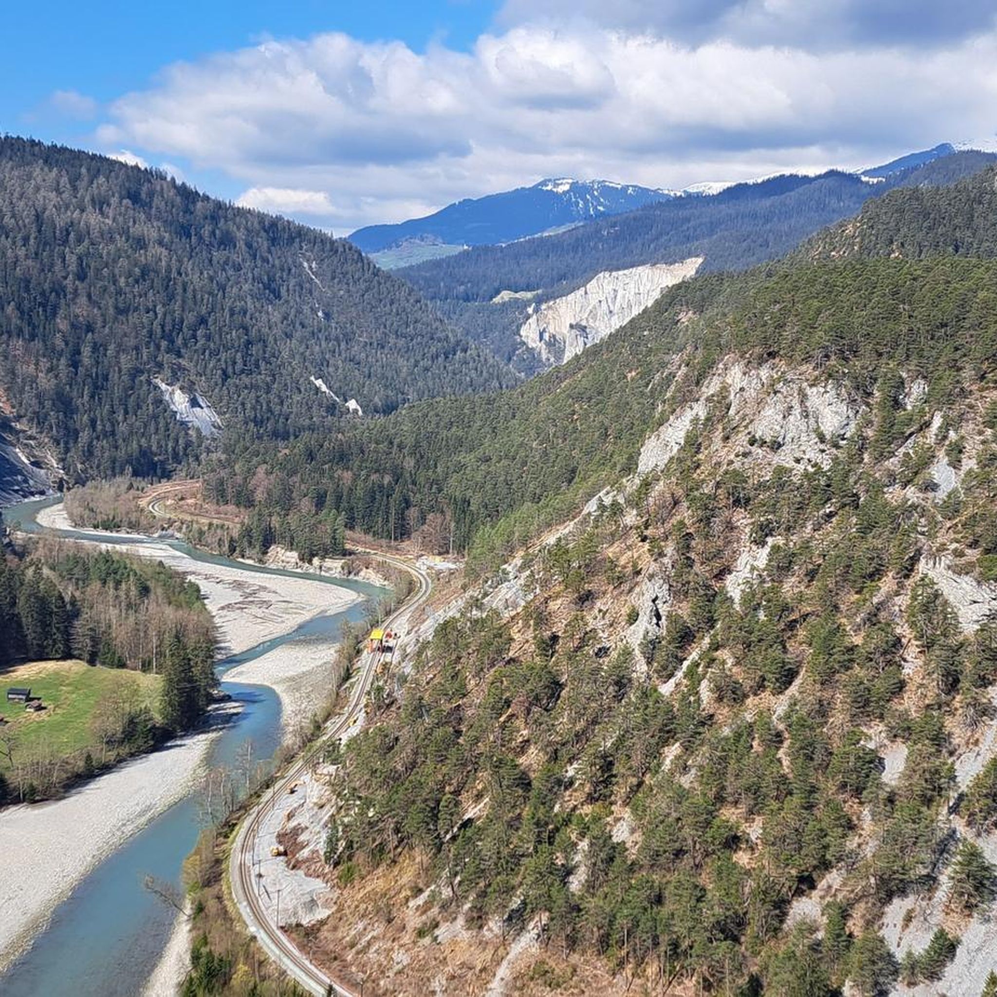
View of the Ruinaulta (Rhine Gorge)
Highlight • Viewpoint
Translated by Google •
Tip by
Sign up now to discover places like this
Get recommendations on the best single tracks, peaks, & plenty of other exciting outdoor places.
Sign up for free
Dreibündenstein Monument
Highlight • Monument
Showing Translation
Tip by

Cresta Lake
Highlight • Lake
Translated by Google •
Tip by

Lake Cauma
Highlight • Lake
Translated by Google •
Tip by

Sign up for free to discover even more natural monuments around Bonaduz.
Sign up for free
Already have an account?
Start today with a free account
Your next adventure awaits.
Login or Signup
Popular around Bonaduz
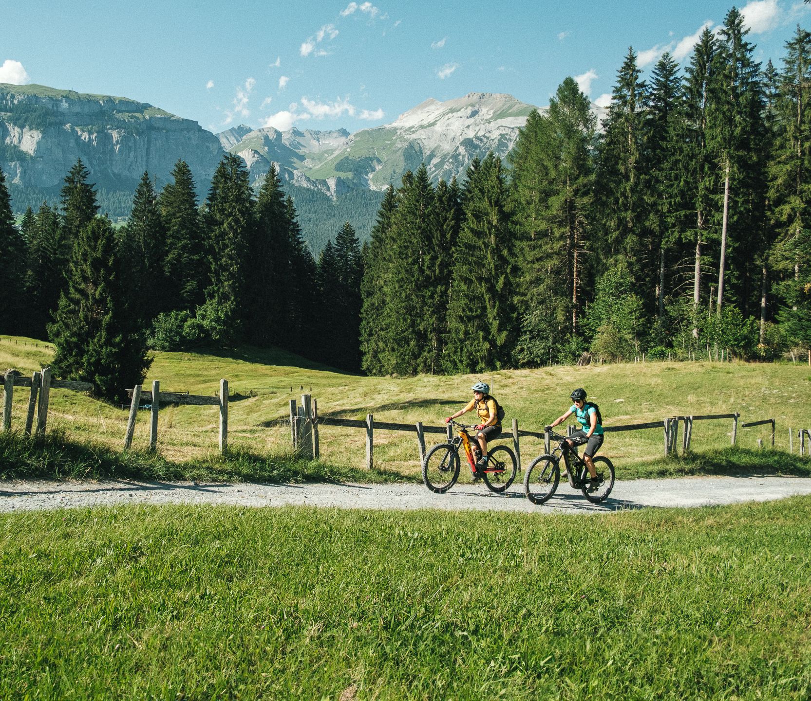
The most beautiful cross country e-bike Tours in Flims Laax Falera
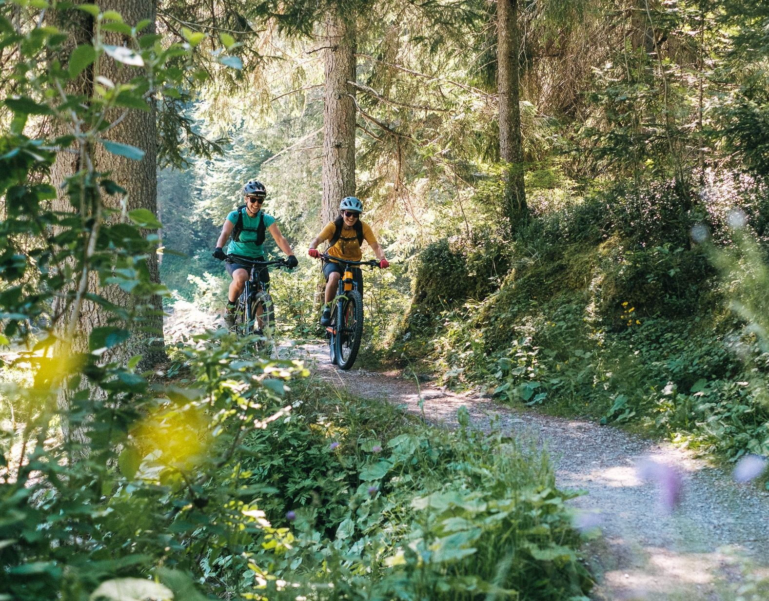
The most beautiful cross country Tours in Flims Laax Falera
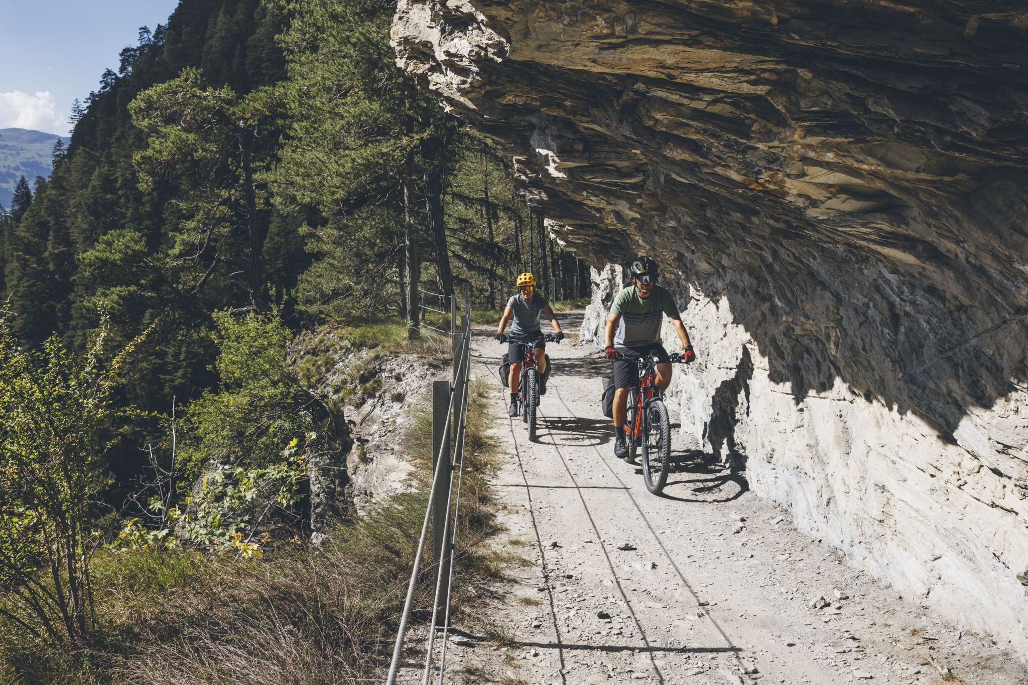
Experience the great adventure of the Glacier Bike Tour
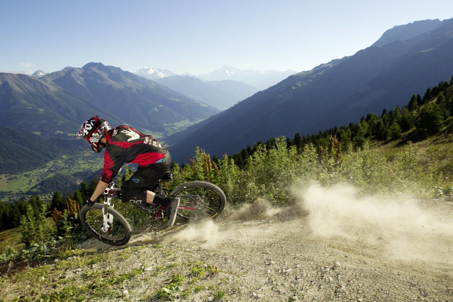
Bike parks in Switzerland
MTB Trails around Bonaduz
Hiking around Bonaduz
Cycling around Bonaduz
Running Trails around Bonaduz
Road Cycling Routes around Bonaduz
Gravel biking around Bonaduz
Other adventures around Bonaduz


Tips from the Community

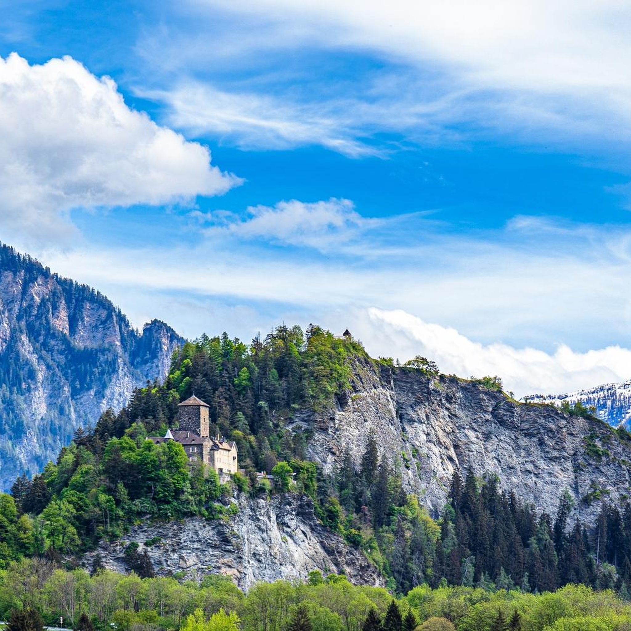
The Dreibündenstein in Graubünden is an elevation at 2,156 meters above sea level south of the city of Chur and of the mountain Furggabüel, which lies at 2,174 meters above sea level. They are separated only by a 15-meter high saddle and 500 meters distance. The point is not a mountain peak, but a historical site. It was the sole triple border point of the former Free State of the Three Leagues. The original stone from 1722 is exhibited in the Rätisches Museum Chur. The replacement stone from 1915 bears the three coats of arms of the Three Leagues. The Three Leagues included the Grey League with the judicial community of Rhäzüns, the League of the Ten Jurisdictions from Churwalden, and the League of God's House from Ortenstein Castle.
4
0

The platform was designed by the Chur architect Corinna Menn on behalf of the municipality of Flims and inaugurated in September 2006. It consists of a single pillar that is anchored in two places. The pillar, held back by a traction cable, protrudes into the gorge. On the pillar lies the triangular platform made of larch wood, which gives the structure the shape of a swift. (Source: https://de.wikipedia.org/wiki/Il_spir)
5
0

Mountain hike from Brambrüesch to Dreibündenstein and on to Feldis
0
0

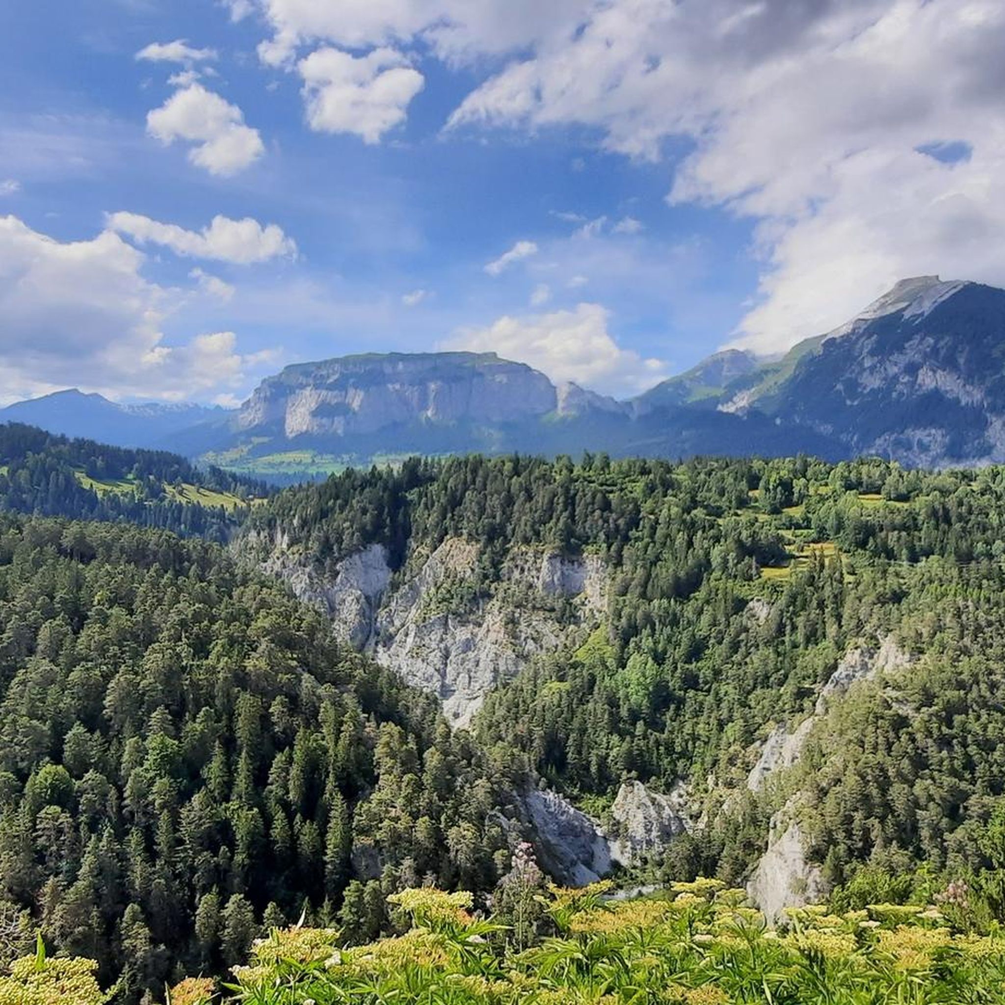
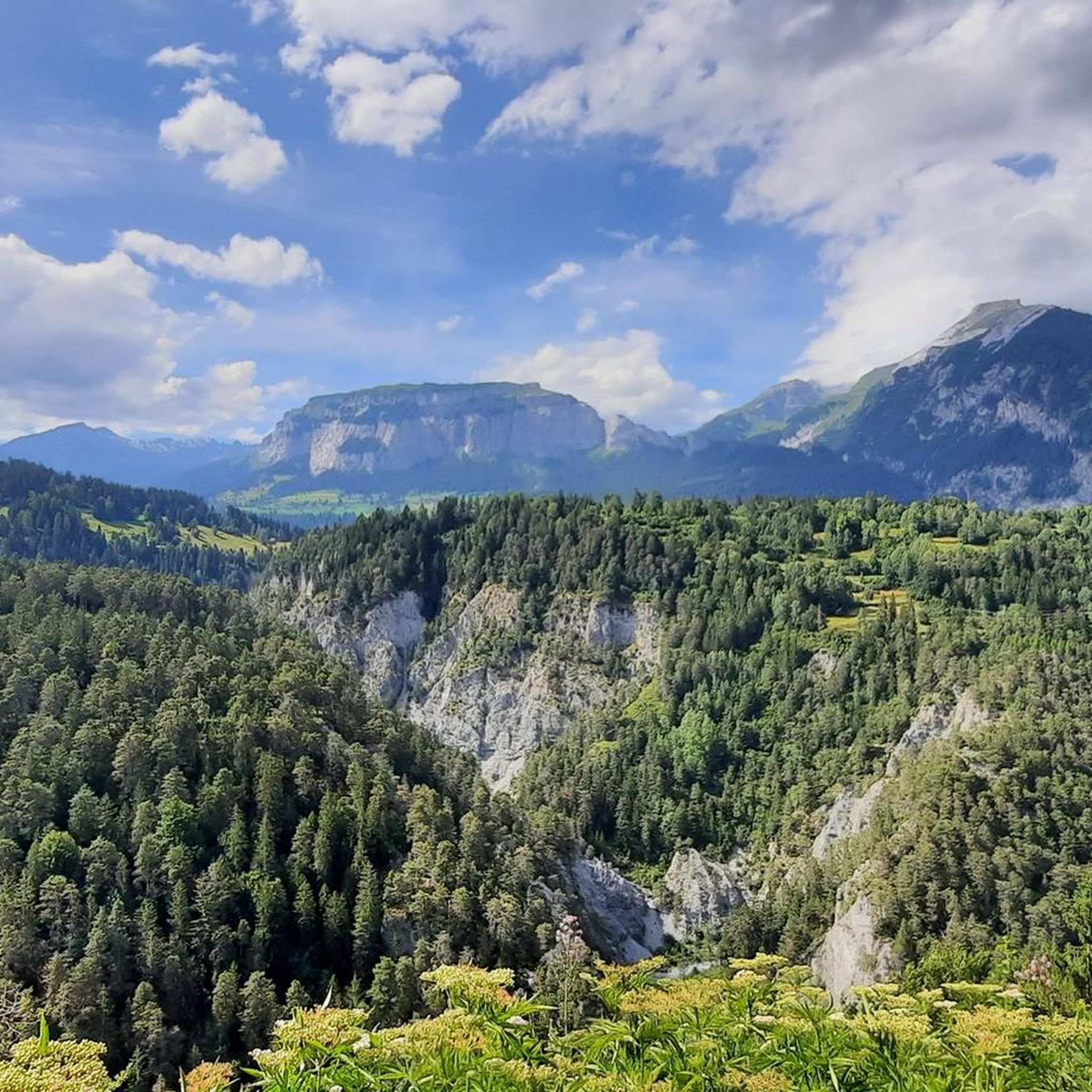
A dream of a view of the Rhine Gorge and little visited.
6
0

Lake Cauma, the Pearl of Flims Called "Lag la Cauma" in Romansh, which means "Lake of Midday Rest," Lake Cauma is the pearl of Flims. Origin This mountain lake was formed as a result of the largest landslide in the Alps, which occurred almost 10,000 years ago. The formation of the lakes is attributed to prehistoric landslides. The water seeped through the porous rockslide masses. However, it can also dissolve the limestone with the help of its carbonic acid. Over time, it created an underground passage. A deeper, impermeable clay layer ensures that the water does not completely seep into the ground. Text / Source: Flims Laax Falera https://www.caumasee.ch/geschichte/
12
1
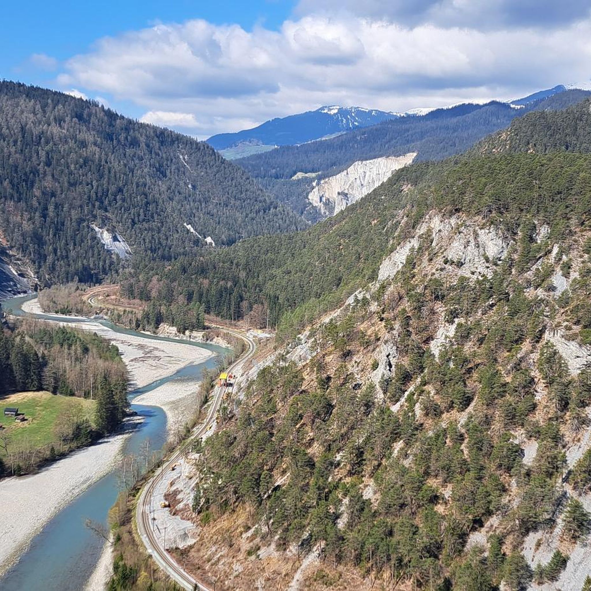
“Il Spir” viewing platform From the Il Spir viewing platform, you can marvel at the impressive Rhine Gorge / Ruinaulta!
8
1
Ruinaulta Rhine Gorge The Ruinaulta or Rhine Gorge is a gorge up to 400 meters deep and around 13 kilometers long in the Vorderrhein between Ilanz and the mouth of the Hinterrhein near Reichenau in the canton of Graubünden in Switzerland. The Romansh name 'Ruinaulta' is composed of the two words Ruina (scree slope, quarry) and aulta (high). The Ruinaulta was created after the Flims landslide almost 10,000 years ago. At that time, over 10 billion cubic meters of rock broke off between the Flimserstein and the Piz Grisch and buried the Vorderrheintal between today's villages of Castrisch and Reichenau under a mass of rubble several hundred meters thick. Since the Vorderrhein could no longer drain, a lake was dammed over a length of around 25 km. Over time, the river cut deep into the landslide masses and the resulting lake was able to drain completely. What remained was the Ruinaulta with its steep limestone rubble cliffs in impressive erosion formations. Text/Source: Wikipedia https://de.wikipedia.org/wiki/Ruinaulta
9
1
Dreibündenstein - a piece of history The Dreibündenstein is a monument to the former border point of the Free State of the Three Leagues. Until 1798, the borders of the "Gotteshausbund", "Grauer Bund" and "Zehngerichtebund" leagues met at this point. Each side of the stone bears a coat of arms of these three Rhaetian leagues. At the same time, the Dreibündenstein commemorates the freedom fighters of Graubünden. Text / Source: EHL Group, Route de Cojonnex 18, 1000 Lausanne 25 https://hospitalityinsights.ehl.edu/de/graubuenden-entdecken-dreibuendenstein#:~:text=The%20Dreib%C3%BCndenstein%20is%20a%20monument%20for%C3%BCr%20the%20former,stone%20stone%20bears%20a%20coat%20of%20these%20three%20Roman%20federations.
10
1
Frequently Asked Questions
What unique natural features can I explore around Bonaduz?
The region around Bonaduz is rich in diverse natural features. You can explore the dramatic Ruinaulta, also known as the "Swiss Grand Canyon," with its towering cliffs and wild river. There's also the tranquil Cresta Lake, a spring-fed lake nestled in a forest, and the ecologically significant Nature Reserve Weihermühle, a nationally important shallow moor.
Are there family-friendly natural monuments near Bonaduz?
Yes, several natural monuments are suitable for families. Cresta Lake is a great option, accessible via a stroller-friendly hiking trail from Trin Mulin, offering clear waters for swimming in summer. Lake Cauma is another family favorite, known for its beautiful setting and easy access.
What outdoor activities can I do near the natural monuments in Bonaduz?
The area around Bonaduz offers a wide range of outdoor activities. The Rhine Gorge is excellent for hiking, cycling, river rafting, canoeing, and kayaking. You can find numerous hiking trails and cycling routes that allow you to explore the natural beauty of the region. For runners, there are also several running trails available.
Are there any historical natural monuments in the region?
While many natural monuments are purely geological, the Dreibündenstein Monument is a significant historical site located on a hill. It marks the former triple border point of the Free State of the Three Leagues and commemorates the freedom fighters of Graubünden, blending natural setting with rich history.
Where can I find tranquil nature reserves around Bonaduz?
For a peaceful encounter with nature, visit the Nature Reserve Weihermühle near Bonaduz. This nationally important shallow moor is fed by spring water and provides a habitat for rare species like the dormouse, various orchids, and sundew, offering a tranquil oasis for nature lovers.
Is it possible to swim in any of the lakes near Bonaduz's natural monuments?
Yes, during the summer months, Cresta Lake transforms into a popular swimming lake with crystal-clear water. Another excellent option is Lag Bonaduz, a small, idyllic lake east of the village center, also favored for swimming and relaxation.
What makes the Rhine Gorge (Ruinaulta) a significant natural monument?
The Ruinaulta, or Rhine Gorge, is significant due to its dramatic formation following the Flims Rockslide approximately 10,000 years ago. This catastrophic event created a 13-kilometer-long, up to 400-meter-deep gorge, featuring towering white cliffs, a wild river, and unique flora and fauna, earning it the nickname "Swiss Grand Canyon."
Are there viewing platforms for the Rhine Gorge?
Yes, there are several platforms offering breathtaking panoramic views into the depths of the Rhine Gorge. Notable ones include the famous Il Spir Viewing Platform and the Zault platform. The Wackenau viewing platform also provides stunning vistas at the end of the gorge.
What geological events shaped the natural monuments in this region?
The most significant geological event shaping the region's natural monuments was the Flims Rockslide about 10,000 years ago. This massive landslide buried the Vorderrheintal, and as the Vorderrhein river cut through the debris, it carved out the spectacular Rhine Gorge (Ruinaulta). The formation of lakes like Lake Cauma is also attributed to prehistoric landslides.
Can I access any natural monuments around Bonaduz by public transport?
Yes, the Rhine Gorge is well-served by public transport. The Rhaetian Railway has three stations along its length: Trin, Versam-Safien, and Valendas-Sagogn, making it convenient to explore the gorge by train. Other areas might require a combination of public transport and walking.
What is the best time to visit the natural monuments around Bonaduz?
The best time to visit largely depends on your preferred activities. Summer (mid-May to mid-September) is ideal for swimming in lakes like Cresta Lake and enjoying water sports in the Rhine Gorge. Spring and autumn offer pleasant temperatures for hiking and cycling, with vibrant foliage or blooming flora. Even in winter, places like the Rhine Gorge and Lake Cauma offer a serene and beautiful experience.
Are there any easy-to-visit natural monuments around Bonaduz?
For an easy visit, Lake Cauma is highly accessible, even with a train-like lift down to the lake. Cresta Lake is also considered easy to reach via a stroller-friendly path from Trin Mulin. Many viewing platforms for the Rhine Gorge, such as Il Spir, are also designed for relatively easy access.
Most popular routes around Bonaduz
Most popular attractions around Bonaduz

Get inspired with the komoot mobile app


Explore more
Extend your search for the best caves by checking out these guides of the top ones around Bonaduz:
