Top 17 Mountain Passes around Fläsch
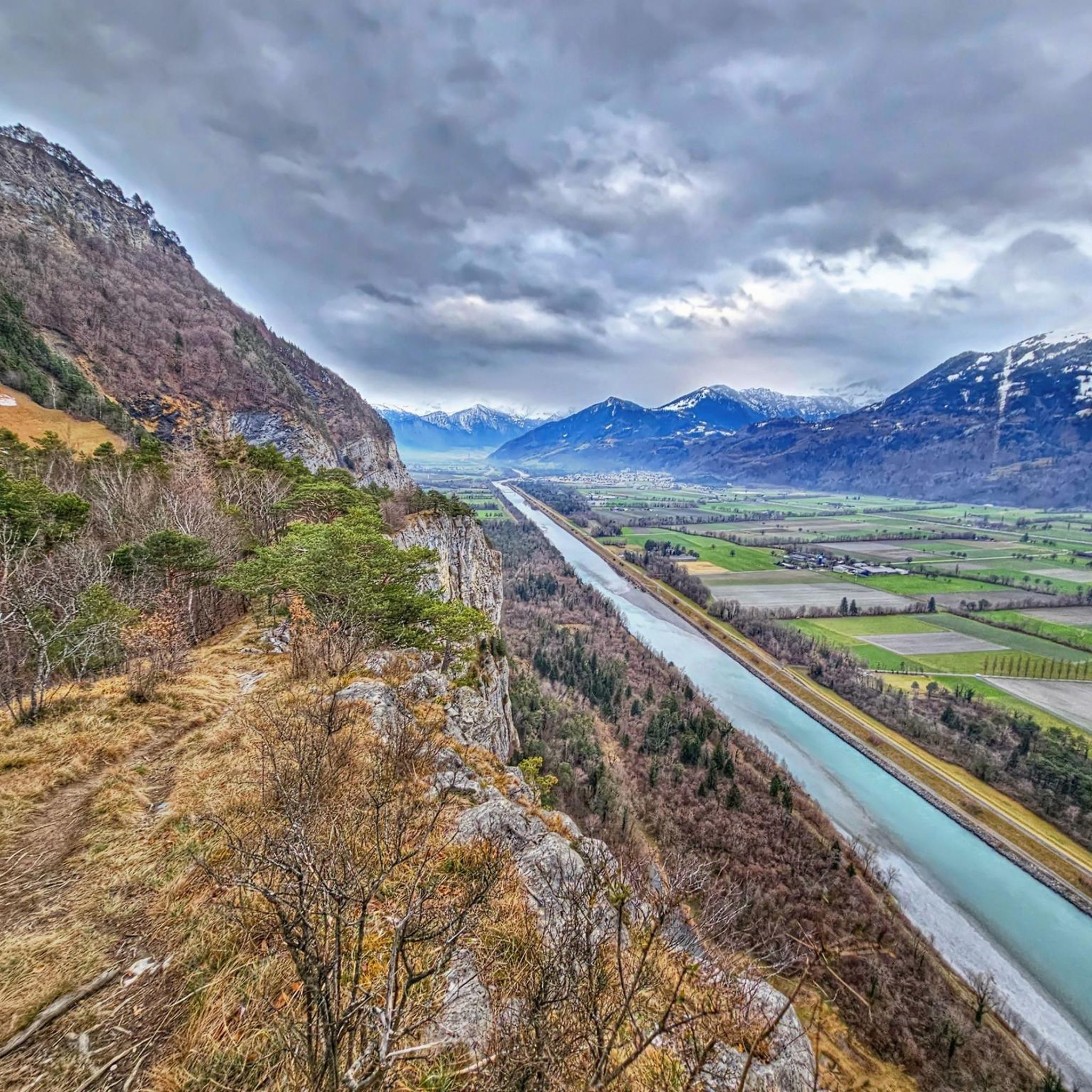
Best mountain passes around Fläsch are situated in a region known for its vineyards and location at the foot of the Fläscherberg mountain. The area offers diverse terrain, from valley floors to alpine peaks, providing varied recreational opportunities. The landscape is characterized by its position within the Bündner Rheintal, with prominent features like the Fläscherberg and its peak, the Regitzer Spitz. This geographic setting provides access to a range of mountain experiences.
Best mountain passes around Fläsch
- The most popular…
Last updated: September 29, 2026
Augstenberg Summit
Highlight • Summit
Translated by Google •
Tip by

Fortress St. Luzisteig
Highlight • Historical Site
Combat shooting up to company level or simulator-supported operational exercises up to reinforced units can be carried out at the Walenstadt weapons range …
Translated by Google •
Tip by

Sign up now to discover places like this
Get recommendations on the best single tracks, peaks, & plenty of other exciting outdoor places.
Gamsluggen 2,380 m
Highlight • Mountain Pass
Translated by Google •
Tip by

St. Luzisteig Pass
Highlight • Mountain Pass
The Steighof restaurant (today a country inn) in Graubünden style invites you to a cozy seat. Let yourself be inspired by the Grisons specialties such as Maluns …
Translated by Google •
Tip by
Sass-Fürkle Pass
Highlight • Mountain Pass
The idyllic hiking trail from Malbun via Sassfürkle to Alp Sass is well prepared and offers wonderful views of the Pizol and …
Translated by Google •
Tip by
Sign up for free to discover even more mountain passes around Fläsch.
Already have an account?
Start today with a free account
Your next adventure awaits.
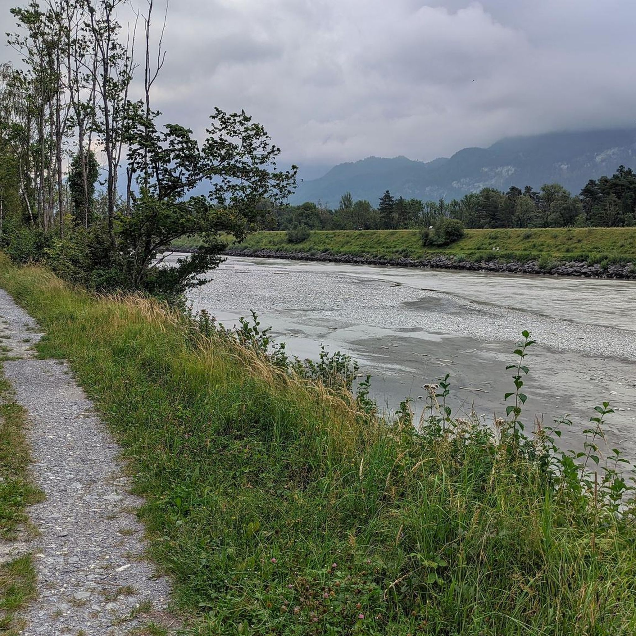
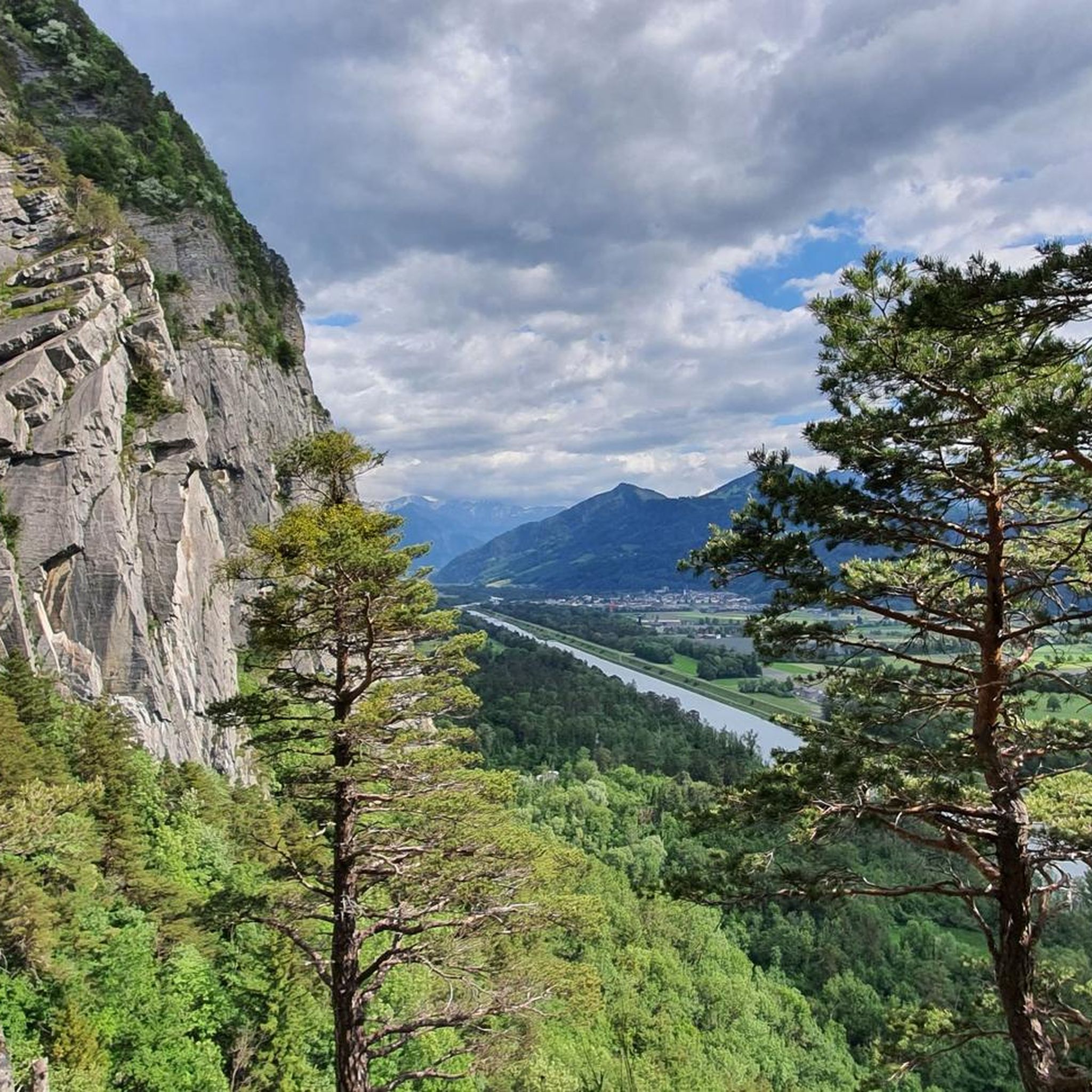
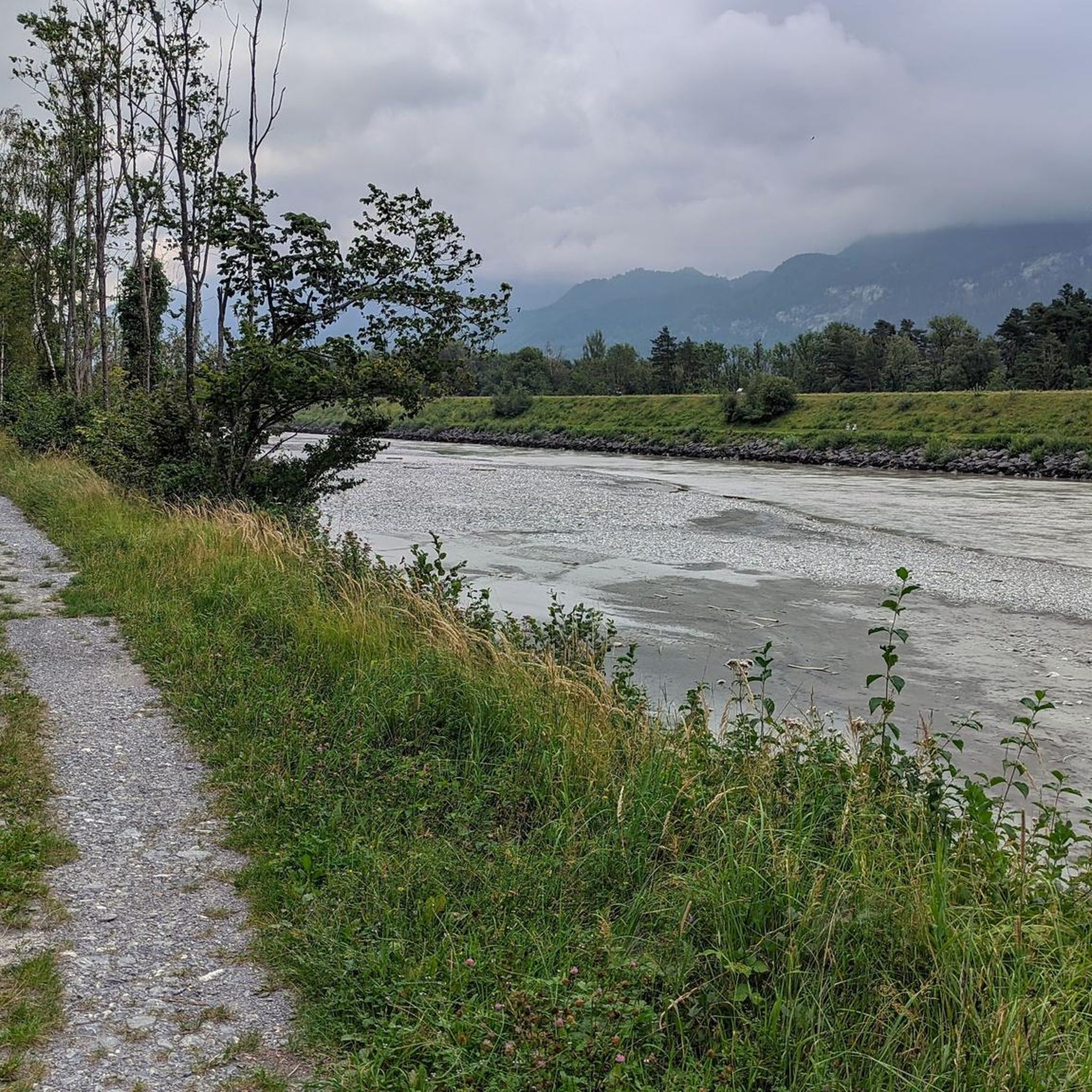
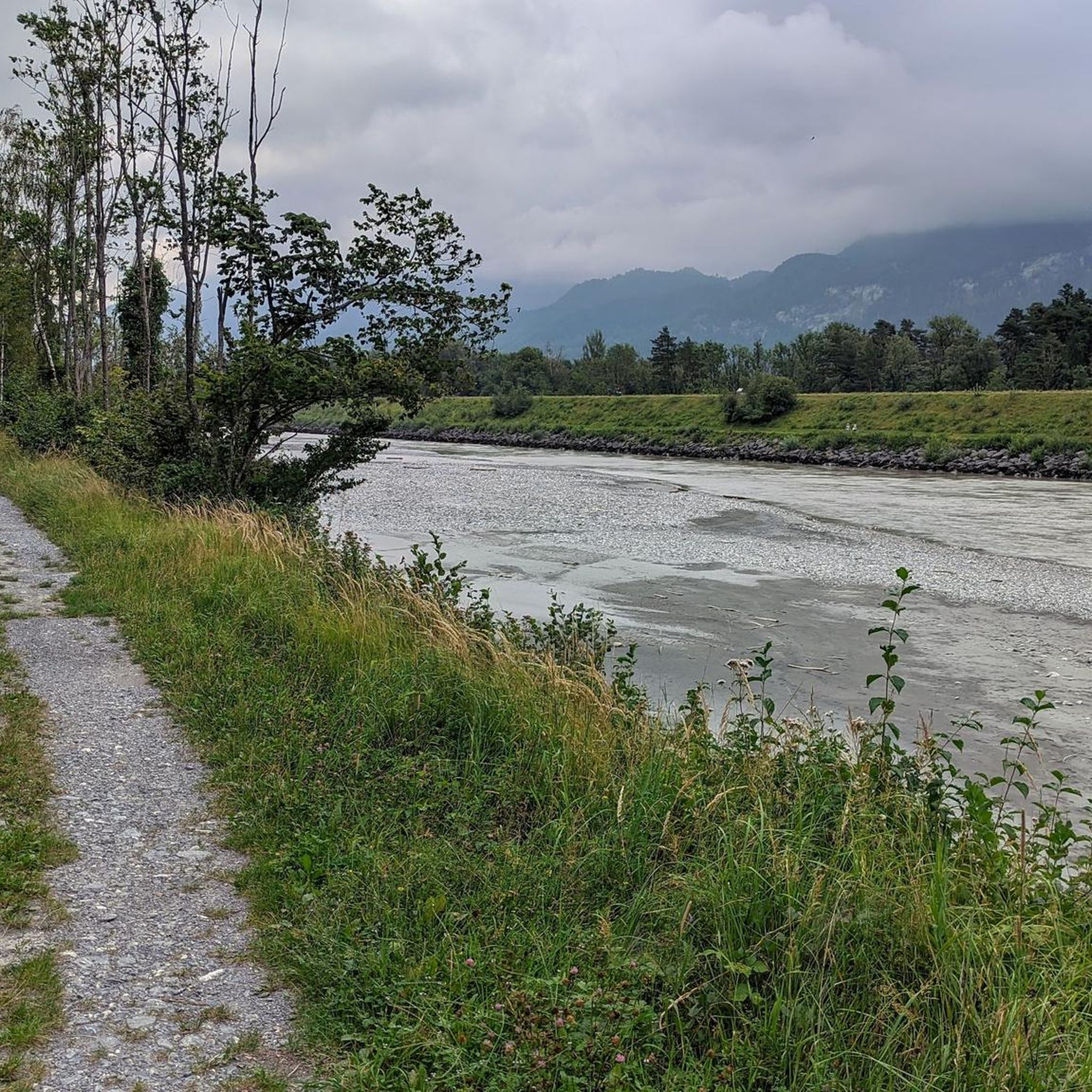

Tips from the Community

A really big, breaded schnitzel for everyone.
0
0


The St. Luzisteig Fortress was a defensive position of the Swiss Army. It is located on the St. Luzisteig Pass at an altitude of 713 meters in the canton of Graubünden and was part of the Sargans fortifications. The St. Luzisteig Pass is considered the most contested place in Switzerland, and the fortress is a military-historical monument of national importance. Source: St. Luzisteig Fortress - Wikipedia https://share.google/n74IjdXHJsqFGmERi
6
0

nice little church in the middle of the Luzisteig
0
0

very low level of difficulty.
0
1

This is also a great place to take a break in summer 🥰
2
0
As others have written, only attempt it if you are in good shape, have a head for heights and are sure-footed. The Swiss side is much more demanding, so if possible it is better to ascend rather than descend. The climb on the Austrian side is very easy. For the view you could also go up from the Totalp and turn back again.
8
0

Paths leading from here to the Regitzerspitz may be closed during shooting operations and must then be avoided.
2
0
Frequently Asked Questions
What makes the Kunkel Pass a significant mountain pass near Fläsch?
The Kunkel Pass is historically significant, with evidence of use since Roman times, and later served as an important alternative route. It's situated within the UNESCO World Heritage Tectonic Arena Sardona, offering unique geological insights and stunning views of mountain ranges like the Calanda and Ringelspitz. It's also a very popular destination for cyclists and hikers.
Are there any mountain passes near Fläsch with historical significance?
Yes, the Fortress St. Luzisteig is located on the St. Luzisteig Pass, which is considered a military-historical monument of national importance. The Kunkel Pass also has a rich history, used since Roman times and featuring a road constructed during World War I.
What kind of views can I expect from mountain passes in the Fläsch area?
From the Augstenberg Summit, you can enjoy wonderful panoramic views from its 2,359-meter high point. The Gamsluggen 2,380 m also offers beautiful vistas, though it requires surefootedness. The Sass-Fürkle Pass provides wonderful views of the Pizol and Alpstein mountains.
Are there family-friendly mountain passes or trails near Fläsch?
Yes, the Sass-Fürkle Pass features an idyllic hiking trail that is considered family-friendly. Additionally, the Fortress St. Luzisteig is also categorized as family-friendly, offering a blend of history and accessible terrain.
What outdoor activities are popular around the mountain passes near Fläsch?
The region is excellent for various outdoor activities. Cycling is very popular, especially around the Kunkel Pass, which is part of challenging routes like the 'Kunkels Bike'. Hiking is also a major draw, with trails leading from Vättis to the Kunkel Pass summit, and opportunities to explore the UNESCO World Heritage Tektonikarena Sardona. You can find more hiking routes in the area on the Hiking around Fläsch guide and cycling routes on the Cycling around Fläsch guide.
What is the best time of year to visit the mountain passes near Fläsch?
The best time to visit generally depends on the activity. For hiking and cycling, late spring to early autumn (May to October) typically offers the most favorable conditions, with less snow and milder temperatures. Some winter hiking trails exist, such as to Sass-Fürkle, but conditions can vary greatly and require appropriate gear.
How accessible is the Kunkel Pass for motor vehicles?
While there can be a driving ban for general traffic on the Kunkel Pass, day permits can be purchased via SMS, allowing motor vehicles access. The road is mostly asphalted, with a notable gravel section on the southern ramp.
Are there any challenging mountain passes for experienced hikers near Fläsch?
Yes, the Gamsluggen 2,380 m is a challenging mountain pass that requires surefootedness and a head for heights, with some exposed sections secured by wire rope. The Augstenberg Summit also offers challenging sections, particularly if you tackle the Fürstin-Gina-Weg.
What natural features can I explore around the mountain passes near Fläsch?
The Kunkel Pass is located within the UNESCO World Heritage Tectonic Arena Sardona, known for its unique geological phenomena. From the pass, you can view impressive mountain ranges like the Calanda and Ringelspitz. The Fläscherberg and Regitzer Spitz offer trails through vineyards, beautiful beech and pine forests, and alpine meadows.
Can I find cycling routes that incorporate mountain passes near Fläsch?
Absolutely. The Kunkel Pass is a very popular destination for cyclists and mountain bikers, including e-bikers, with several challenging routes incorporating the pass. The Old Road from Bad Ragaz to Valens, which is closed to cars, is also recommended for bicycles. You can find more cycling options in the Cycling around Fläsch guide.
What are some unique geological features to observe on the mountain passes?
The Kunkel Pass is situated within the UNESCO World Heritage Tectonic Arena Sardona, an area renowned for its vivid and unique geological phenomena related to mountain formation. A telescope at the mountain inn 'Überuf' on the pass allows visitors to view the Ringelspitz and the Glarus main thrust fault up close.
Are there any mountain passes that offer a good starting point for longer hikes?
The Kunkel Pass is a favored spot for hikers, with easy trails leading to the summit and options to continue towards the UNESCO World Heritage Tektonikarena Sardona and the SAC Ringelspitz hut. From Sass-Fürkle Pass, there are also several hiking opportunities in all directions, including to Schönberg and Alp Guschg.
Most popular routes around Fläsch
Most popular attractions around Fläsch

Get inspired with the komoot mobile app


Explore more
See even more epic mountain passes by checking out these guides around Fläsch:
