Top 13 Mountain Passes around Personico
Mountain passes around Personico, situated in the Leventina district of Ticino, Switzerland, provide access to challenging high-alpine hiking routes. This area serves as a gateway to several notable passes, primarily for experienced hikers. The region is characterized by its mountainous terrain, offering demanding treks through diverse natural landscapes. These passes connect valleys and offer geological features.
Best mountain passes around Personico
- The most popular mountain pass is Erbea Pass, a mountain pass that is located between the Gaggio valley…
Last updated: July 10, 2026
Erbea Pass
Highlight • Mountain Pass
Translated by Google •
Tip by

Wooden Lovers Sculpture at Passo di Piatto
Highlight • Monument
Translated by Google •
Tip by

Sign up now to discover places like this
Get recommendations on the best single tracks, peaks, & plenty of other exciting outdoor places.
Sign up for free
Bocchetta dello Scaiee
Highlight • Mountain Pass
Translated by Google •
Tip by

Passo Crastumo
Highlight • Mountain Pass
Translated by Google •
Tip by

Bocchetta di Rognoi
Highlight • Mountain Pass
Translated by Google •
Tip by
Sign up for free to discover even more mountain passes around Personico.
Sign up for free
Already have an account?
Start today with a free account
Your next adventure awaits.
Login or Signup
Tips from the Community

Given it's a north facing be prepared to find patches of loose snow even at the beginning of the summer season. Always double check snow conditions on SLF snow map website (https://whiterisk.ch/en/conditions/snow-maps/snow_depth)
0
0

If the snow line drops, there will be snow on the Moleno Valley side, and it won't melt away quickly (the sun doesn't even shine in October). This makes this route on the steep slope truly challenging without spikes or poles. The descents from both sides, in particular, should be approached with extreme caution.
0
0

The Bocchetta dello Scaiee is a mountain pass on the left side of the Verzasca Valley in the canton of Ticino. It is located between the Cima di Gagnone (2518 m above sea level, east) and the Scaiee peak (2457 m above sea level, west) at an altitude of 2434 meters above sea level. The pass can be crossed on a white-red-white marked mountain hiking trail. Paths lead from the village of Gerra in the Verzasca Valley (via Alpe del Mött), from the Val d'Agro (via Bassa di Motto) and from the Capanna Efra mountain hut and the Val Gagnone (both via Passo di Gagnone) up to the pass. In addition, an alpine hiking trail (white-blue-white) leads from the Bocchetta dello Scaiee to the Cima di Gagnoe and further over the ridge via Cima di Rierna and Cima Lunga to the Capanna Fümegna.
1
0
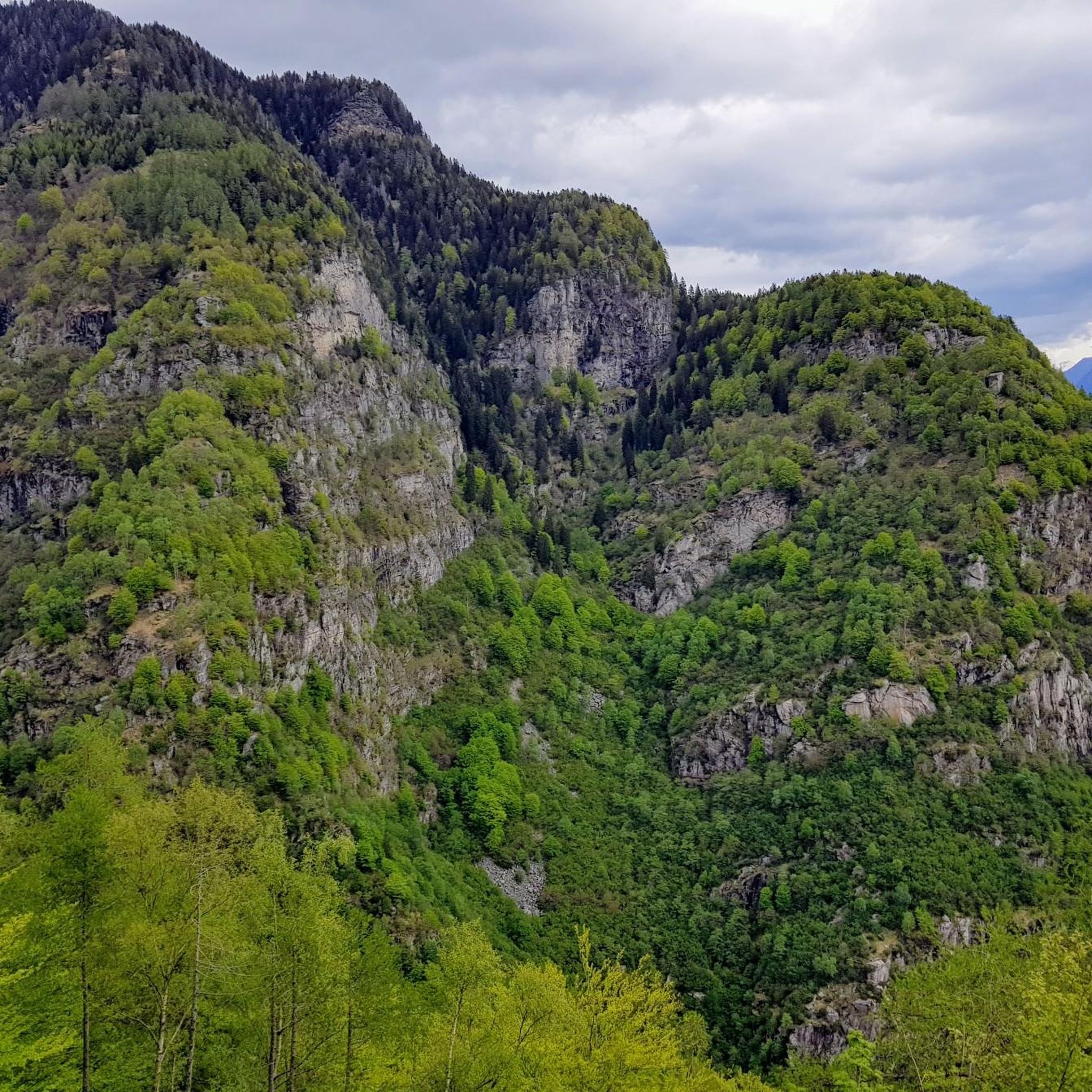
The Bocchetta di Rognoi is a mountain pass in the municipality of Verzasca in the canton of Ticino. It is located at an altitude of 2219 meters above sea level between the Pizzo di Vogorno (2442m above sea level) and the Madon (2395m above sea level). The pass forms a connection between the Val della Porta in the south and the Val Carecchio to the north, both side valleys of the Verzasca Valley. The path over the Butta di Rognoi is marked as a white-red-white mountain hiking trail. The nearest mountain hut is the Capanna Borgna on the south side of the pass, from which there are hiking options to the Bochete di Cazzann (Butta Cazzane) and further to the Valle di Moleno as well as to the Passo di Ruscada (and from there to the Magadino plain).
0
0
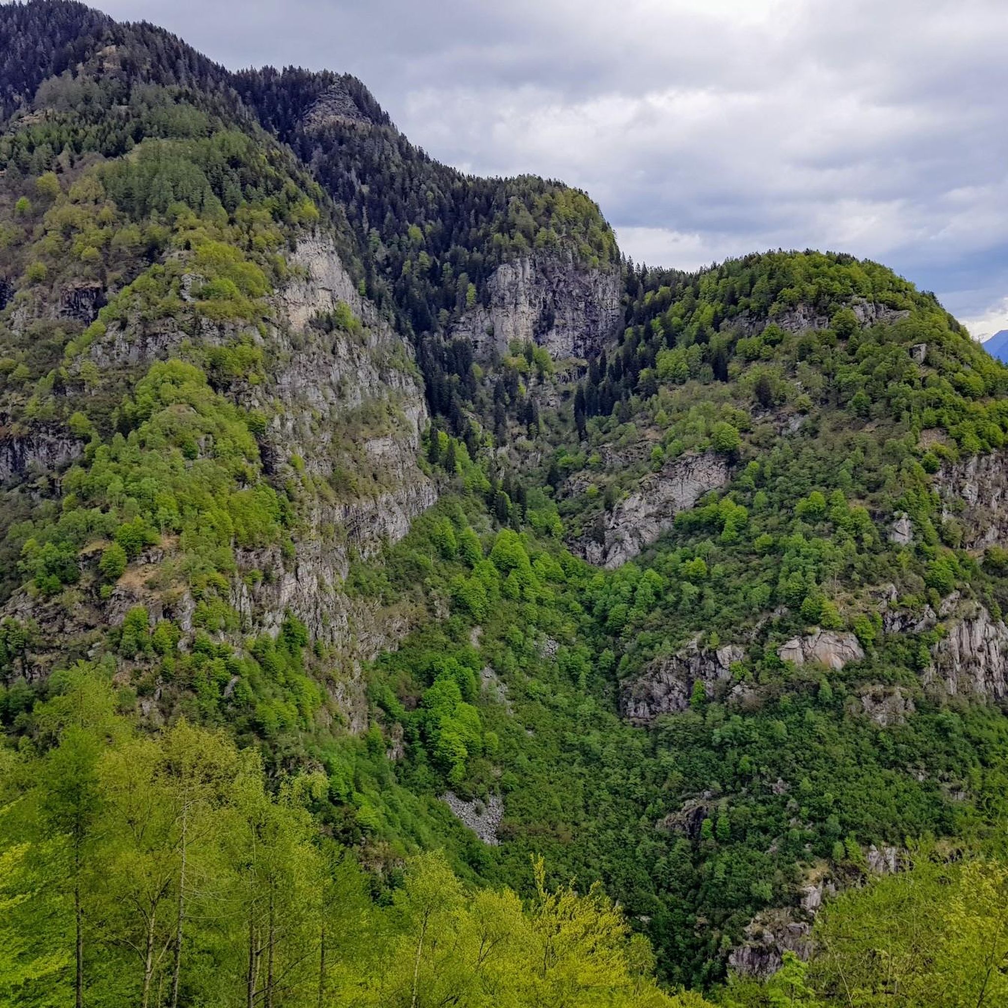
The Passo Crastumo is a mountain pass between the Valle Leventina and the Valle di Blenio in the canton of Ticino. Its pass is located above the Alpe di Crastumo at an altitude of 2117 meters above sea level between the peaks of Motto Crostel and Pizzo Caslett. There are no marked hiking trails over the pass, in contrast to the Bassa di Nara pass further north.
1
0

The Crastumo pass is a mountain pass that connects the Blenio valley with the Leventina valley, reachable from Acquarossa or Lavorgo. The trails near the pass are only partially cycleable, making it a tough challenge for mountain bikers.
1
0

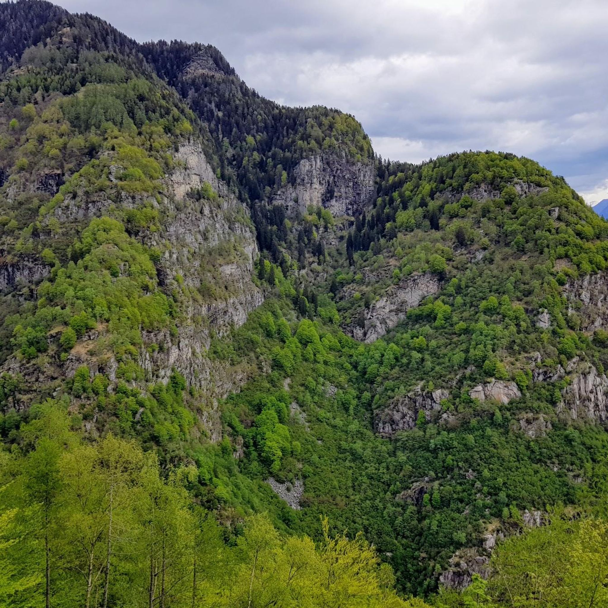
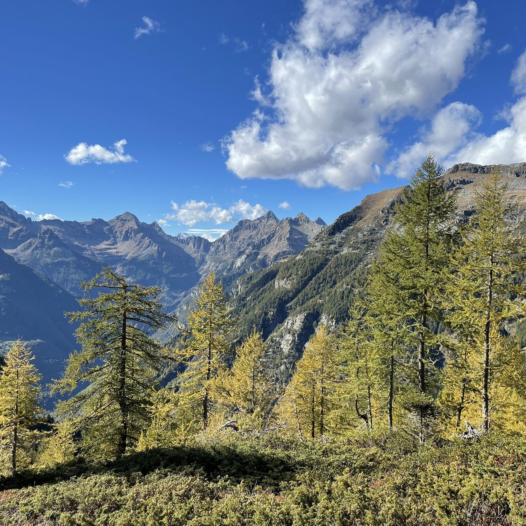
Bocchetta d'Erbea is located between the Gaggio valley and the Molena valley. It is a narrow opening in the rock that divides two very different valleys. The Gaggio valley is green, that of Molena is mainly stony.
1
0

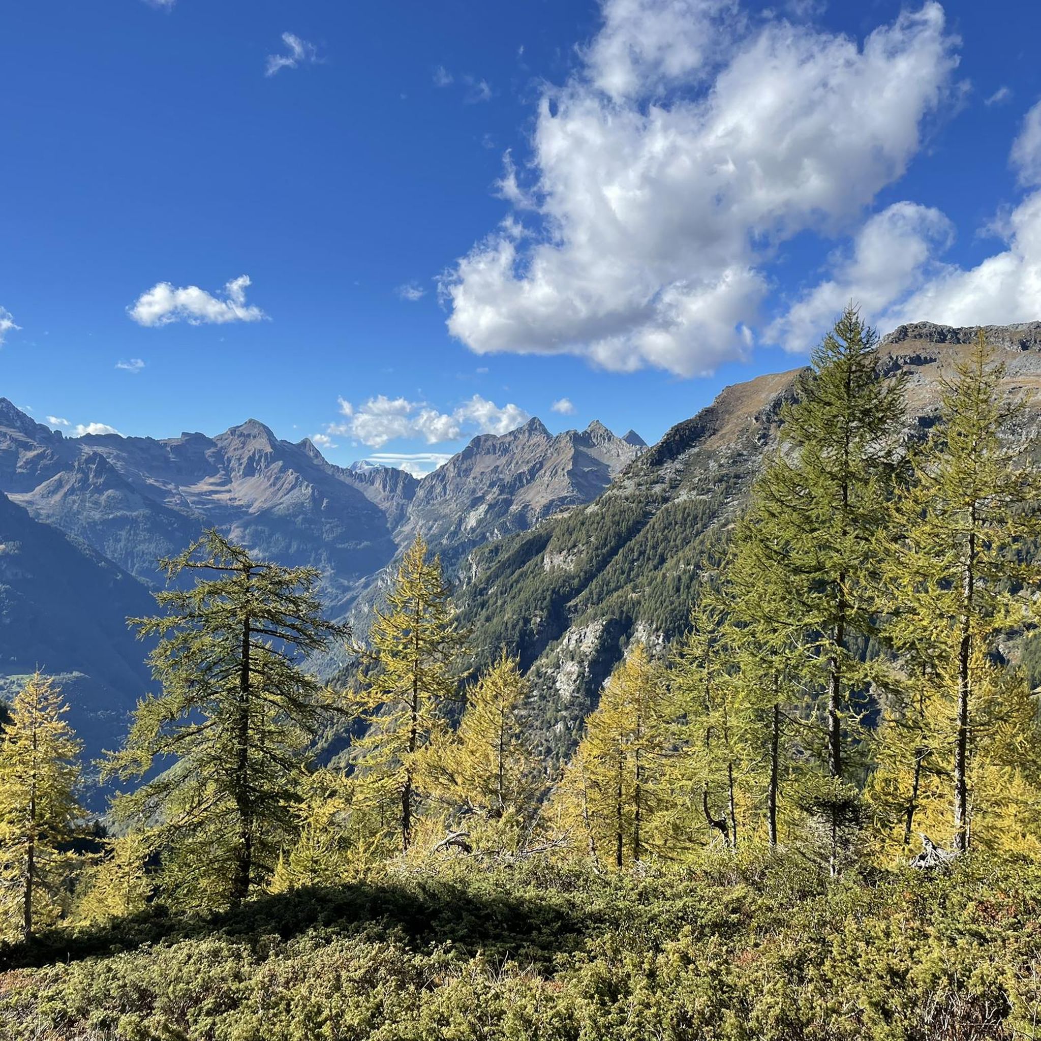
At the pass there is a wooden pair of lovers... on both sides there are wonderful views... The Laghetto Lake below shines in the most beautiful blue
2
0
Frequently Asked Questions
What kind of mountain passes can I expect to find around Personico?
The mountain passes around Personico are primarily high-alpine and challenging, suitable for experienced hikers. They are not typically accessible by car but serve as gateways to demanding treks, including stages of the rigorous Via Alta Idra. These passes often feature unique geological formations and offer stunning panoramic views.
Are there any mountain passes with unique natural features near Personico?
Yes, the Passo di Gagnone is particularly notable for its unique geological features. It hosts several lenses of rock originating from the Earth's mantle and is rich in soapstone, historically used for crafting 'laveggi'. This area provides a rare opportunity to observe rocks usually found much deeper within the Earth's crust.
What is the difficulty level of hiking to these mountain passes?
Most mountain passes accessible from Personico, such as Passo di Gagnone, are considered difficult (T3 rating) and require good physical condition and sure-footedness. The Via Alta Idra, which encompasses several passes in the region, is described as one of the most challenging treks in the Alps, with exposed sections and climbing passages (T6 difficulty).
What are some popular mountain passes or points of interest in the area?
Visitors often appreciate the Erbea Pass, known for its distinct valleys. Another popular spot is the Wooden Lovers Sculpture at Passo di Piatto, offering wonderful views. The Bocchetta dello Scaiee is also a well-regarded mountain pass with marked trails.
Are there any family-friendly or easy mountain pass hikes near Personico?
The mountain passes directly accessible from Personico are generally high-alpine and challenging, not typically suitable for families or beginners. They are geared towards experienced hikers seeking demanding treks. For easier hiking options, you might explore other trails in the broader region, though not necessarily over mountain passes.
What kind of views can I expect from the mountain passes around Personico?
The high-altitude passes offer stunning panoramic views across the Ticino mountains and valleys. From points like Passo di Gagnone, you can enjoy excellent vistas over the Leventina Valley, and from areas near Passo di Corte Nuovo, you can see the Centovalli up to Lake Maggiore.
What outdoor activities can I do near these mountain passes?
The primary activity around these mountain passes is challenging high-alpine hiking. You can also find various other outdoor activities in the broader Personico region. For hiking, cycling, and gravel biking routes, you can explore guides like Hiking around Personico, Cycling around Personico, and Gravel biking around Personico.
What is the best time to visit the mountain passes around Personico?
The best time to visit these high-alpine passes for hiking is typically during the summer months (late June to September) when the snow has melted and the trails are most accessible. Outside of this period, snow can make the routes significantly more challenging and potentially dangerous, especially on steep slopes like those near Erbea Pass.
Are there any specific trails or routes associated with these passes?
Many of these passes are part of or connected to the Via Alta Idra, a rigorous 100-kilometer high-alpine route. For example, Passo di Gagnone is part of the Via GeoAlpina, and Bocchetta dello Scaiee can be crossed on a white-red-white marked mountain hiking trail, with an alpine trail leading further to Cima di Gagnoe.
What should I know about the Via Alta Idra in relation to Personico?
Personico serves as a starting point for stages of the Via Alta Idra, one of the most challenging high-alpine treks in the Alps. This 100-kilometer route connects twelve alpine refuges in Ticino, reaching altitudes over 2,000 meters. It features exposed sections and climbing passages, marked with white-blue-white trail blazes (T6 difficulty).
What kind of flora and fauna can I expect to see on these mountain passes?
The high-alpine environment around these passes, especially along routes like the Via Alta Idra, offers diverse flora and fauna. You can expect to encounter alpine meadows, various mountain plants, and potentially observe wildlife adapted to these altitudes, contributing to an immersive natural experience.
Where can I find accommodation or refreshments near the mountain passes?
While the passes themselves are remote, the Via Alta Idra, which many passes are part of, connects twelve alpine refuges in Ticino. These refuges provide essential accommodation and sometimes refreshments for trekkers. For example, Bocchetta di Rognoi is near Capanna Borgna.
Most popular attractions around Personico

Get inspired with the komoot mobile app


Explore more
See even more epic mountain passes by checking out these guides around Personico:
