Top 6 Natural Monuments around Savelsbos
Best natural monuments around Savelsbos are found within this captivating and often steep slope forest in South Limburg, Netherlands. Stretching for approximately 6 kilometers, Savelsbos is recognized as a national nature reserve and a Natura 2000 area. The region is characterized by its rich geological, historical, and ecological value, showcasing limestone formations, ancient quarries, and diverse ecosystems. It offers insights into the area's deep past, from prehistoric flint mining to Roman-era activities.
Best natural monuments around Savelsbos
- The most popular…
Last updated: July 11, 2026
Trichterberggroeve Limestone Quarry
Highlight • Natural Monument
Translated by Google •
Tip by

Groeve de Hel
Highlight • Cave
Translated by Google •
Tip by
Sign up now to discover places like this
Get recommendations on the best single tracks, peaks, & plenty of other exciting outdoor places.
Sign up for free
Savelsbos: Forest and Prehistoric Flint Mines
Highlight • Forest
Translated by Google •
Tip by
Moss-covered log with Trametes fungi in Savelsbos
Highlight • Natural
Translated by Google •
Tip by

Bench by the Large Linden Tree
Highlight • Natural Monument
Translated by Google •
Tip by

Sign up for free to discover even more natural monuments around Savelsbos.
Sign up for free
Already have an account?
Start today with a free account
Your next adventure awaits.
Login or Signup

Tips from the Community

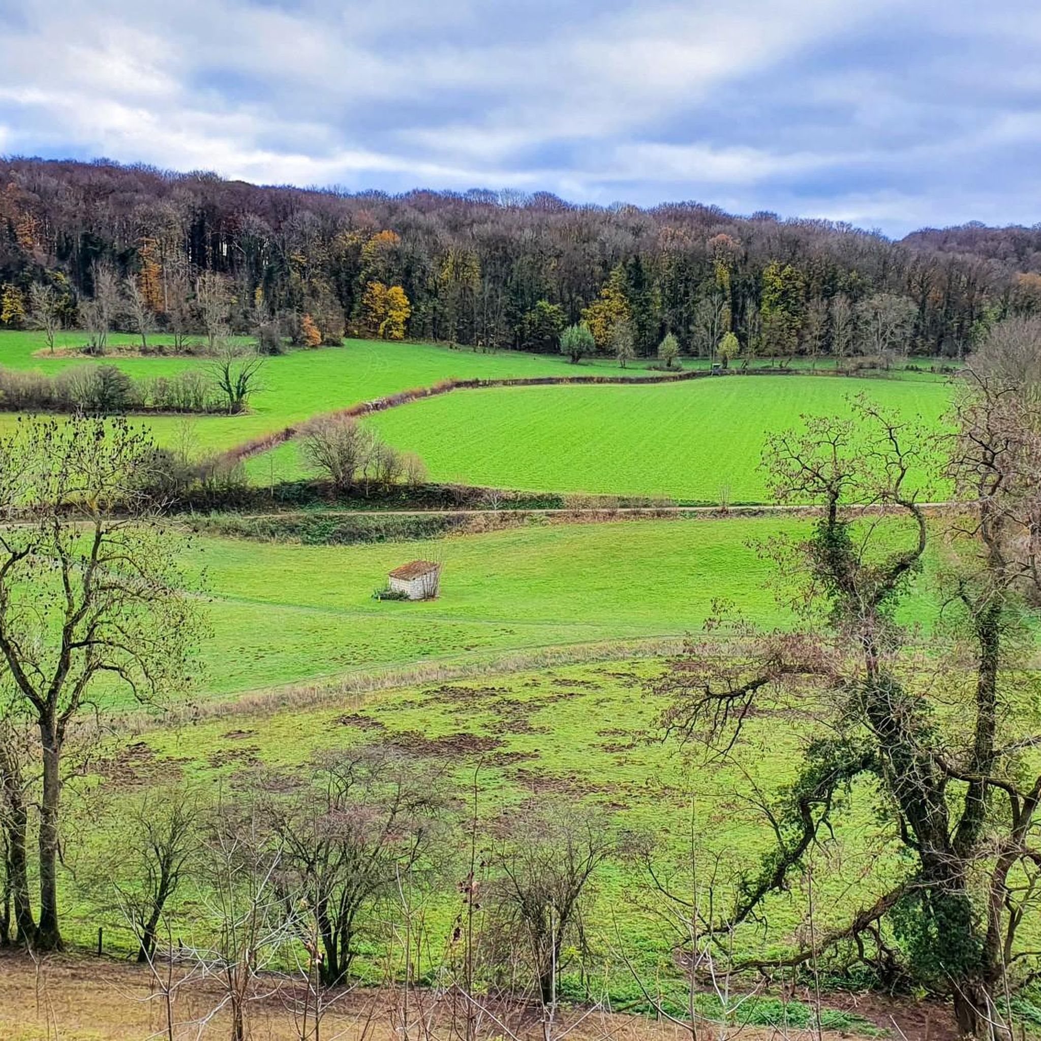
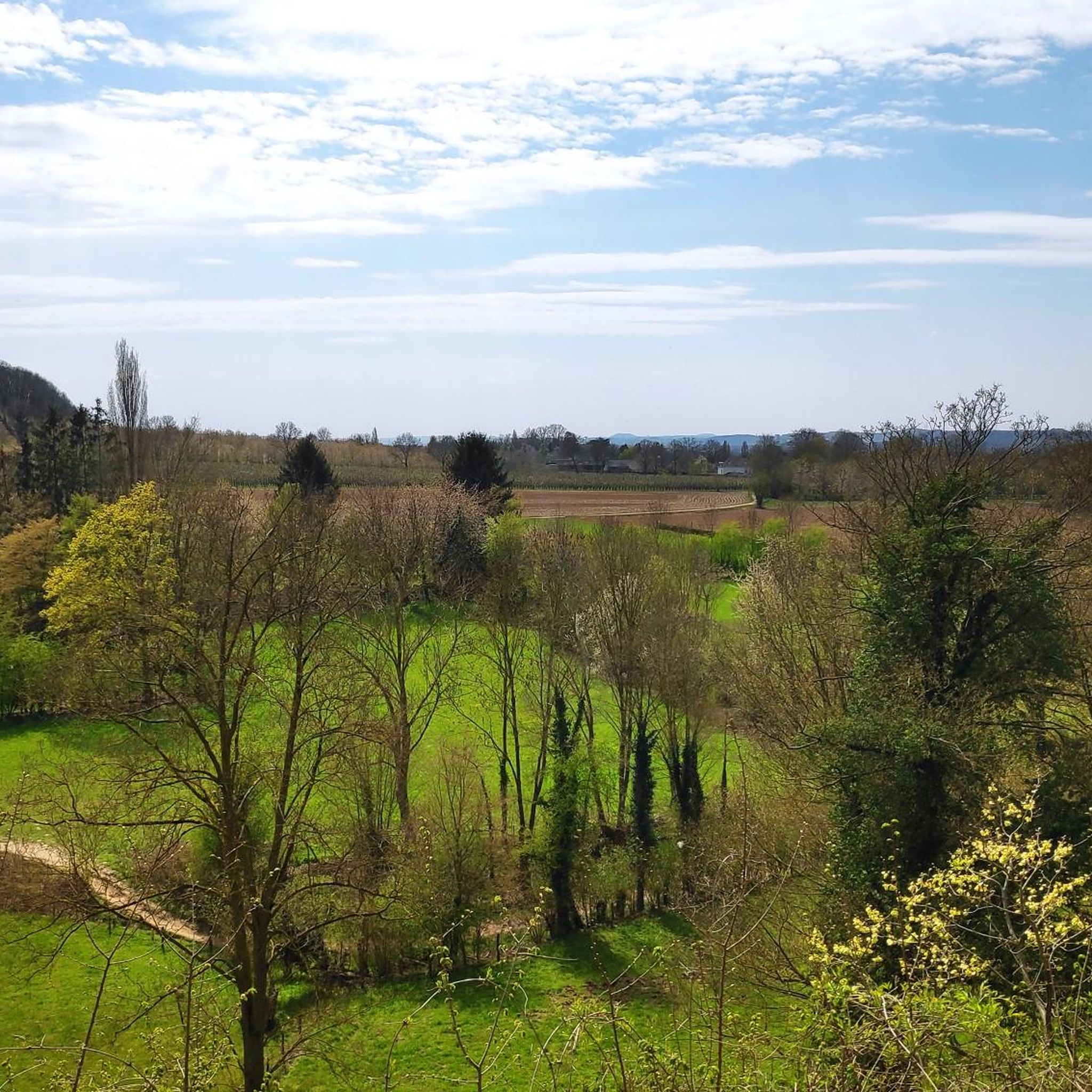
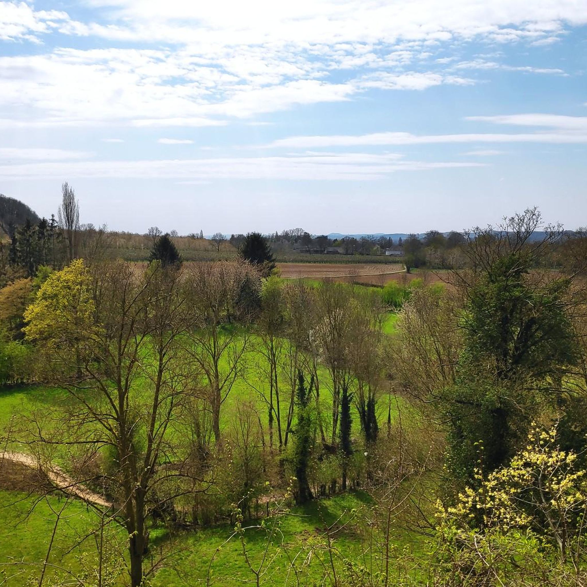
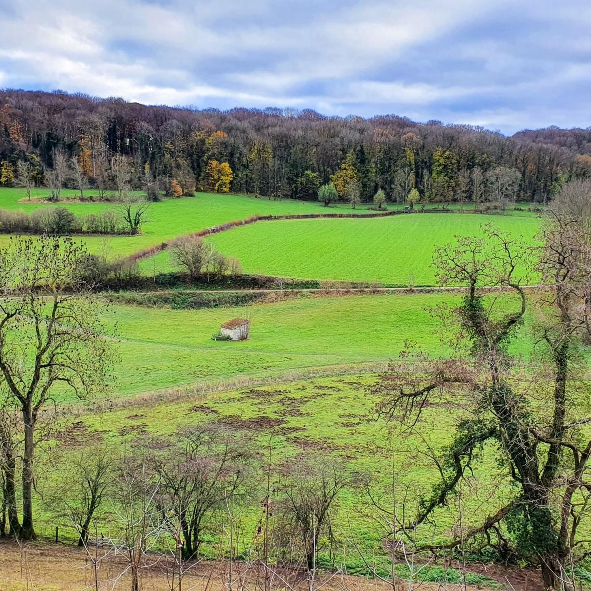
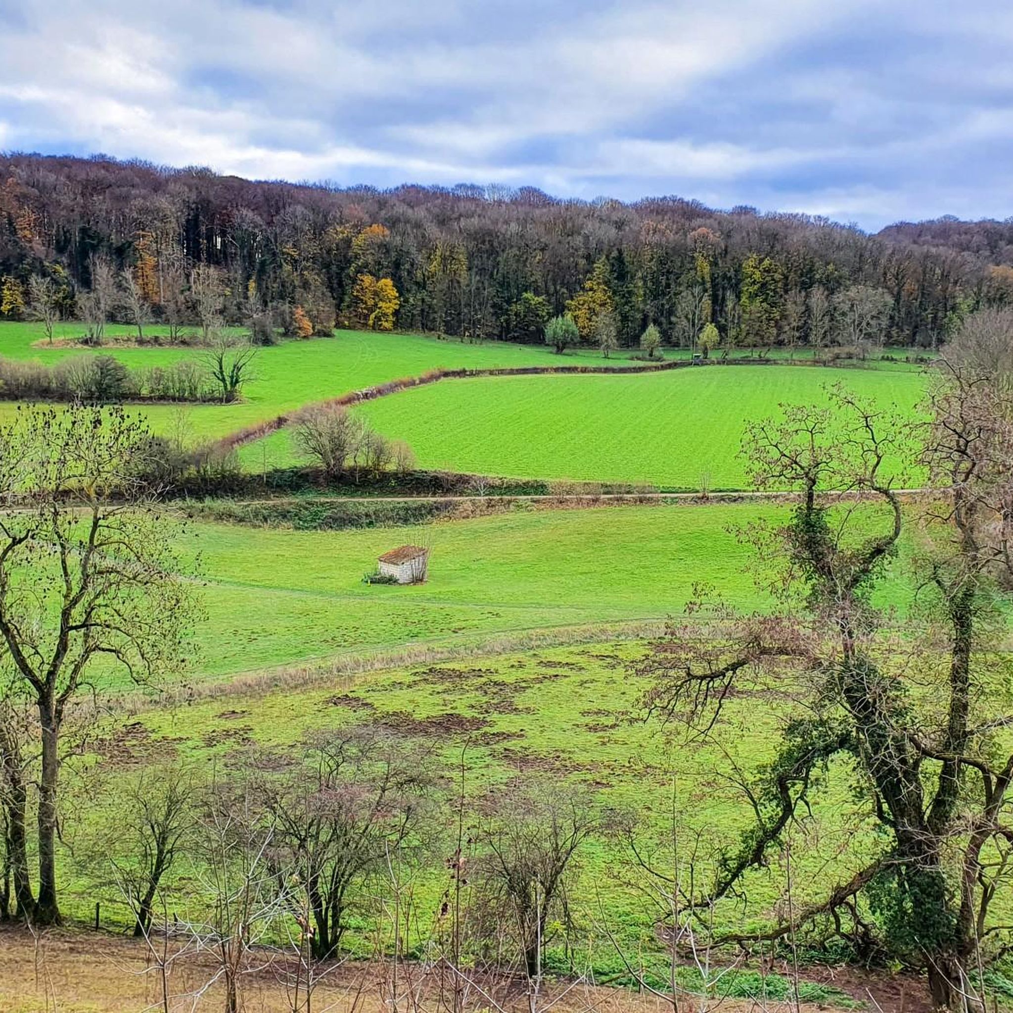
A very beautiful forest. If you use the designated paths, you'll enjoy beautiful views of the Meuse Valley from the edge of the forest. The remains of old quarries provide further variety.
0
0

Fungus - Trametes is a genus of fungi belonging to the family Polyporaceae. The scientific name was published in 1836 by Elias Magnus Fries External characteristics A key feature of Trametes species is the lack of separation of flesh and the pores that seem to be sunken in the flesh: the tubular trama smoothly merges into the trama of the cap and cannot be removed from it. The flesh is whitish. The spore powder is white. The upper side is usually zoned, the surface of the light species often becomes green with age due to algal growth. Trametes species form fruiting bodies without a stalk that grow console-like, disk-shaped to semicircular on the substrate.
1
0
Finally a new bench by this big tree. Previous bench was destroyed again! text: Chris (1981-2023) So long and thanks for all the fish We love you, brother
1
0

The Trichterberg quarry is located in the forest to the left of the steep Eckelraderweg, between Gronsveld and Eckelrade. Diagonally opposite are dole chambers. The quarry has been designated as a “Geological Monument”. Steep limestone walls with here and there sawn surfaces and a few small corridor remains are the only remains. Not much is known about the Trichterberg quarry. That is why Peter Jennekens, Kevin Amendt and Rob Habets wrote a source overview for the magazine of the Study Group Underground Limestone Quarries - Natural History Society in Limburg. Based on this, they cautiously conclude that the origin of the quarry must lie somewhere between the years 1846 and 1867. The entire PDF with all sources can be found at https://www.sok.nl (November 2013 edition).
5
0
How old the Great and Small Hell quarries are is difficult to say with precision, but they are certainly sixteenth century. A clue can be found in a small niche where the date 1587 is thinly scratched and almost illegible on the 24th day…. Furthermore, a single date from the seventeenth century and various dates from the beginning of the eighteenth century. Quite a few inscriptions can be found in the hell quarries, such as somewhat cryptic: “Sister of the sunbeam, a white rose in the bouquet, a lily on the foliage, a swan whose down does not recognize its border, a star in the blue firmament”. Or edifying: You who enter here, let all feuds go”. And what about: “Never again will I come here to the accursed caverns”. Sometimes visitors to Hell could barely save themselves. “Today, the 1st (February).. Around 12 o’clock in the morning of 1823, a terrible number of blocks fell down, under which the three of us had stood, named Matthijs Ramakers of Margerate, Matthieu Schrijnemaekers Gronsfeld W. Theunissen. We thank God that he has preserved us from death”. A major collapse occurred in June 1965. This was not surprising, as the stability of the Kleine Hel in particular was questionable. Several columns showed cracks and there had been a lot of overexploitation. Not long after, the entrances were closed. Nevertheless, in December 1982, members of the Vereniging tot Natuurbehoud managed to visit the Helgroeve. A report of the trip can be found in Ut Wiet Klief of July 1984. During the trip through the marl corridors, the nature lovers came across a number of inscriptions, sometimes just a name, then again a year. A number of inscriptions that were encountered spoke for themselves. Two examples: ‘I am in Hell, I know that. I am all alone here. The devil knows where my comrades are.’ Or what about: ‘Watch out for those who love the Devil, because here in this place that has always borne the name of Hell, the devils are innumerable.’ Or: ‘He who looks at this monster (devil) is even more mad than he who made him.’ ‘Workman from this mountain, what you are now I have been and what I am now (skeleton) you will soon be. Anyone who wants to read more about the most fascinating text in the quarry according to the author of the above article or wants to know everything about the accident of January 17, 1893, goes to https://historischekringcadierenkeer.nl/nieuws/55-publicaties-keerder-kroniek/kent-u-deze-plek-links/928-de-hel.html
6
0
Northern part (the Riesenberg) of the beautiful Savelsbos with its many wild garlic, grubben and grooves, history and beautiful nature and views. A bit more official: "The Savelsbos is a narrow, rugged hillside forest, one of the most beautiful forests in South Limburg. Beneath the forest meander the corridors of (really) old quarries. The minerals were gravel, marl and flint. There are several prehistoric flint mines in the Savelbos. If you visit the Savelbos, you are entering badger territory. The largest badger population in the Netherlands lives here. You will definitely come across castles there. If you go in May, there is a strong smell of garlic in the forest and you will be enchanted by the white flowers of the wild garlic." Source and info: https://www.visitzuidlimburg.nl/te-doen-in-zuid-limburg/attracties-bezienswaardigheden/detail/savelsbos/65177/
7
0
Text board [see photo] Limestone quarry Trichterberg Geological Monument Limestone quarry Trichterberg In the past, limestone was mined at this location. This limestone was used as building blocks and at a later time for fertilizing (oenergelen) fields and meadows ` In the upper Cretaceous (80 to 65 million years ago) the whole of South Limburg was flooded by a 'Cretaceous sea'. Many plants and animals that are now extinct lived in this tropical sea. The limestone visible here consists of countless skeletons of small plants and animals that formed the plankton. Many large animals also lived in this Cretaceous sea, such as the ten-meter-long 'Mosasaur'. Flint Flint is a hard rock that can form in pure limestone under very special circumstances. Flint consists of pure silica (SiO2). In the Stone Age, this rock was used for making stone tools. Until the last century, flint was used to make fire using the Tinderbox.
2
0
Quarries The Groeve de Hel has two entrances that are separately indicated as Groeve de (Grote) Hel and Groeve de Kleine Hel. The entrance to Groeve de Grote Hel is located southwest and the entrance to Groeve de Kleine Hel is northeast. The two parts of Groeve de Hel are connected via a crawl-hole connection. Groeve de Hel is a medium-sized quarry and has an entrance area with a collapse doline. The stability of the quarries was poor due to over-exploitation of the quarries and the resulting cracks, especially in Groeve de Kleine Hel. The quarries are closed in such a way that bats can fly into the quarries. Wikipedia: The Groeve de Hel or Helgrove is a Limburg marl quarry in the Dutch municipality of Eijsden-Margraten. The underground quarry is located between Gronsveld and Cadier en Keer on the northwest side of the Riesenberg in the northern part of the Savelsbos. The quarry is located on the western edge of the Margraten Plateau in the transition to the Maas Valley. At the site, the plateau plunges steeply for several meters. The quarry is located along one of the two routes from Cadier and Keer to Gronsveld, the other via De Fontein and the Dorregrubbe dry valley on the other side of the Riesenberg. The route along Groeve de Hel runs via the Gruisveldweg, the Hotsboom, the Helweg and the Keerderweg. About 250 meters to the north is the Hotsboom Quarry, about 300 meters to the south are the Riesenberg Quarry and Groeve on top of the Riesenberg and about 300 meters to the southeast is the Varkensgat Quarry. About 300 meters to the south, Huis De Beuk is located at the head of the Riesenberg. Info: https://nl.wikipedia.org/wiki/Groeve_de_Hel
2
0
Frequently Asked Questions
What unique geological features can I explore in Savelsbos?
Savelsbos is rich in geological history. You can visit the Trichterberggroeve Limestone Quarry, which showcases steep limestone walls formed from ancient marine life. Another significant site is the Grindgroeve Savelsbos, an open-air gravel pit exposing thick layers of sand and gravel deposited by the Maas river. Additionally, the landscape features unique V-shaped hollow paths known as 'Grubbe', formed by erosion and used historically as routes.
What historical and archaeological sites are found among the natural monuments?
Savelsbos offers a deep dive into history. You can explore the Prehistoric Flint Mines, discovered in 1881, where flint was extracted around 7,500 years ago for tools. The Trichterberggroeve Limestone Quarry also has historical significance, with origins between 1846 and 1867. The Groeve de Hel, an old marl quarry, dates back to the sixteenth century and features historical inscriptions. Roman-era wine terraces can also still be observed on the slopes of Savelsbos.
Are there family-friendly natural monuments to visit in Savelsbos?
Yes, several natural monuments in Savelsbos are suitable for families. The general forest area of Savelsbos: Forest and Prehistoric Flint Mines offers accessible paths and opportunities to learn about nature and history. The Bench by the Large Linden Tree provides a pleasant spot for a break amidst nature. While some quarry sites might have challenging sections, many areas of the forest are enjoyable for all ages.
What kind of wildlife can I expect to see in the Savelsbos natural monuments area?
Savelsbos is a haven for wildlife. It boasts the largest badger population in the Netherlands. You might also spot rare animals such as stoats, polecats, hazel dormice, and slowworms. The area is home to 70 bird species. The old marl pits, like those at Moerslag Geological Monument and Kleinberggroeve Noord, serve as crucial hibernation spots for bats.
What is the best time of year to visit the natural monuments in Savelsbos?
Savelsbos is beautiful year-round, but spring offers a unique experience. In May, the forest is filled with the strong scent and white flowers of wild garlic, creating a magical atmosphere. Autumn also provides stunning colors as the leaves change. Winter hiking is possible, but paths may be slippery.
Are there hiking trails suitable for exploring the natural monuments?
Yes, Savelsbos is crisscrossed with numerous hiking trails that lead through and past its natural monuments. The 'Grubbe' or hollow paths, for instance, are unique geomorphological features that double as picturesque and historically significant hiking routes. You can find many options for running and walking in the area, including routes like the Mettenberggroeve Caves loop. For more detailed routes, explore the Running Trails around Savelsbos guide.
What are the terrain and difficulty levels for hiking in Savelsbos?
Savelsbos is known as a captivating and often steep slope forest. The terrain can be rugged, with V-shaped hollows and varying elevations. While some highlights like Groeve de Hel and Kleinberggroeve Noord are categorized as challenging, many paths through the forest are of intermediate difficulty, offering a rewarding experience for most hikers.
Can I visit ancient mining sites in Savelsbos?
Yes, Savelsbos is home to several ancient mining sites. You can visit the Trichterberggroeve Limestone Quarry, which has remnants of small corridors. The Groeve de Hel is an old marl quarry with underground chambers and historical inscriptions. The Moerslag Geological Monument also marks a historical site where limestone and marl were once mined. Additionally, the Prehistoric Flint Mines offer a glimpse into ancient flint extraction.
What do visitors enjoy most about the natural monuments in Savelsbos?
Visitors frequently appreciate the rich blend of nature and history. The beautiful views of the Meuse Valley from the forest edge, the unique geological formations like the 'Grubbe', and the historical significance of sites like the Prehistoric Flint Mines and ancient quarries are often highlighted. The presence of diverse wildlife, especially the large badger population, also adds to the appeal.
Are there cycling routes near the natural monuments in Savelsbos?
Yes, there are several cycling routes that allow you to explore the area around the natural monuments. Whether you prefer road cycling or touring, you'll find options. For example, you can find routes like the 'Bukel Climb (Savelsbos) – Trichterweg (Eijsden) loop' for road cycling or the 'Mescherhei Lookout Tower – Riverside Path along the Meuse loop' for touring. More routes are available in the Road Cycling Routes around Savelsbos and Cycling around Savelsbos guides.
Are there any specific natural landmarks to look out for?
Beyond the geological formations, Savelsbos features notable natural landmarks. The Bench by the Large Linden Tree is a prominent and impressive natural monument, offering a pleasant resting spot. The 'Grubbe' (hollow paths) are also distinct natural features, showcasing unique erosion patterns and historical human use.
Most popular routes around Savelsbos
Most popular attractions around Savelsbos

Get inspired with the komoot mobile app


Explore more
Extend your search for the best caves by checking out these guides of the top ones around Savelsbos:
