The best walks and hikes around Langenhahn
4.6
(115)
394
hikers
34
hikes
Hiking around Langenhahn Westerwald offers diverse terrain for outdoor enthusiasts. The region is characterized by extensive forests, open pastures, and rolling hills, providing varied backdrops for exploration. Notable natural features include the Holzbachschlucht, an impressive gorge with basalt formations, and the Dreifelder Weiher, a scenic spot with boardwalks. These landscapes contribute to a range of hiking experiences, from gentle walks to more challenging routes.
Best hiking trails around Langenhahn
- The most popular hiking route is View of Langenhahn – Marienpfad loop from Langenhahn, a 3.4 miles (5.5 km) trail that takes about 1 hour 30 minutes to complete, offering scenic views over the area.
- Another top favourite among local hikers is St. Hubertus Monument – Lothar-Bleser Trail loop from Langenhahn, an easy 2.0 miles (3.2 km) path. This route features varied terrain and passes by the St. Hubertus Monument.
- Local hikers also love the Bench at the Edge of Town – View of Langenhahn loop from Langenhahn, a 2.3 miles (3.7 km) trail leading through local landscapes, often completed in about 1 hour.
- Hiking around Langenhahn is defined by its forested paths, rolling hills, and geological features like the Holzbachschlucht. The network offers options for various ability levels, including 19 easy, 10 moderate, and 1 difficult hiking trail.
- The routes in Langenhahn are highly rated by the komoot community with an average score of 4.5 stars from over 60 reviews. More than 290 hikers have used komoot to explore Langenhahn's varied terrain.
Last updated: July 5, 2026
4.8
(15)
54
hikers
5.75km
01:31
50m
50m
Easy hike. Great for any fitness level. Easily-accessible paths. Suitable for all skill levels.
4.4
(5)
28
hikers
5.48km
01:28
60m
60m
Easy hike. Great for any fitness level. Easily-accessible paths. Suitable for all skill levels.

Sign up for free
4.7
(7)
24
hikers
Easy hike. Great for any fitness level. Easily-accessible paths. Suitable for all skill levels.
5.0
(2)
14
hikers
Easy hike. Great for any fitness level. Easily-accessible paths. Suitable for all skill levels.
4.7
(7)
21
hikers
3.18km
00:52
50m
50m
Easy hike. Great for any fitness level. Easily-accessible paths. Suitable for all skill levels.
Get access to more routes and recommendations from other explorers.
Sign up for free
Already have an account?
Our route recommendations are based on thousands of hikes, rides, and runs completed by other people on komoot.
Start today with a free account
Your next adventure awaits.
Login or Signup
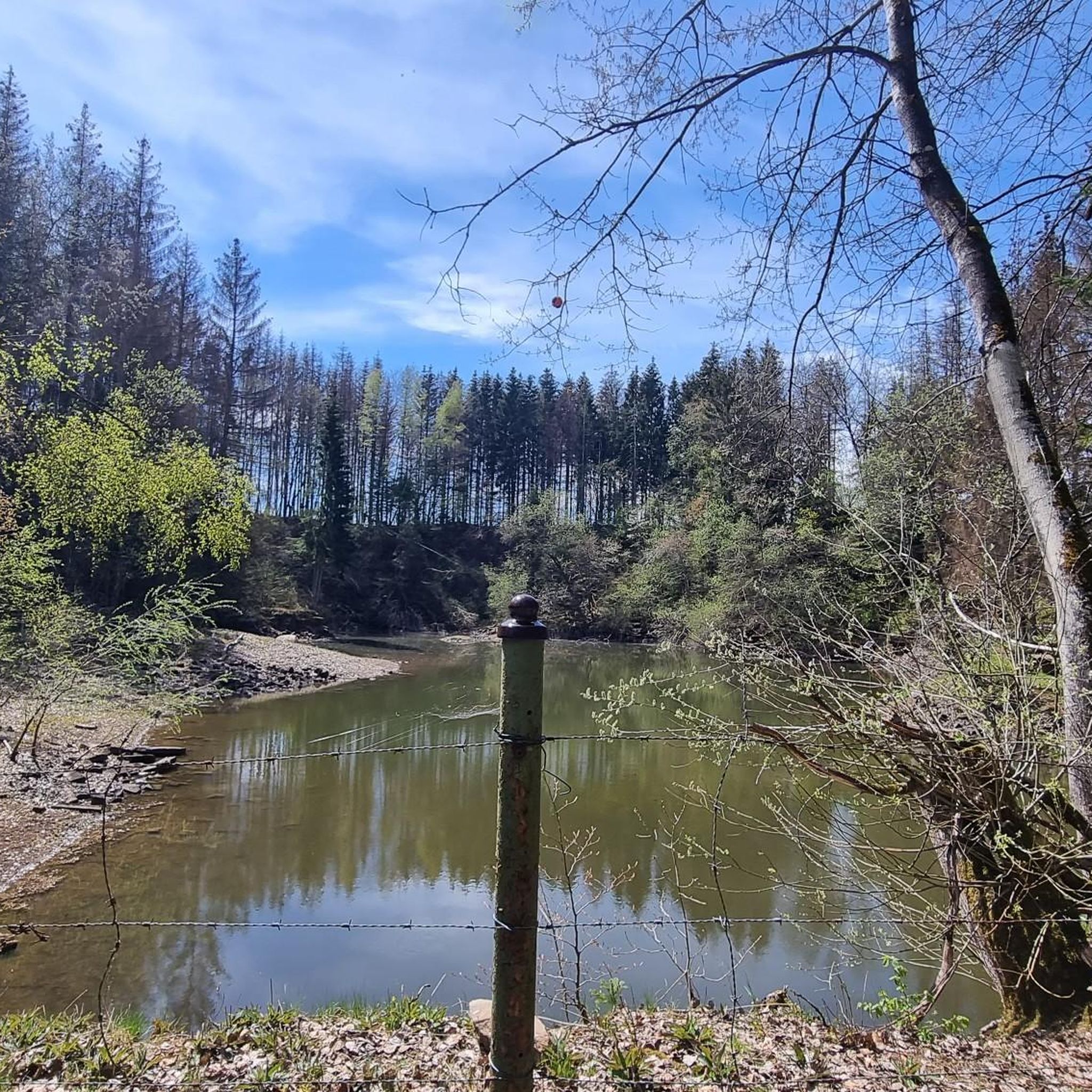
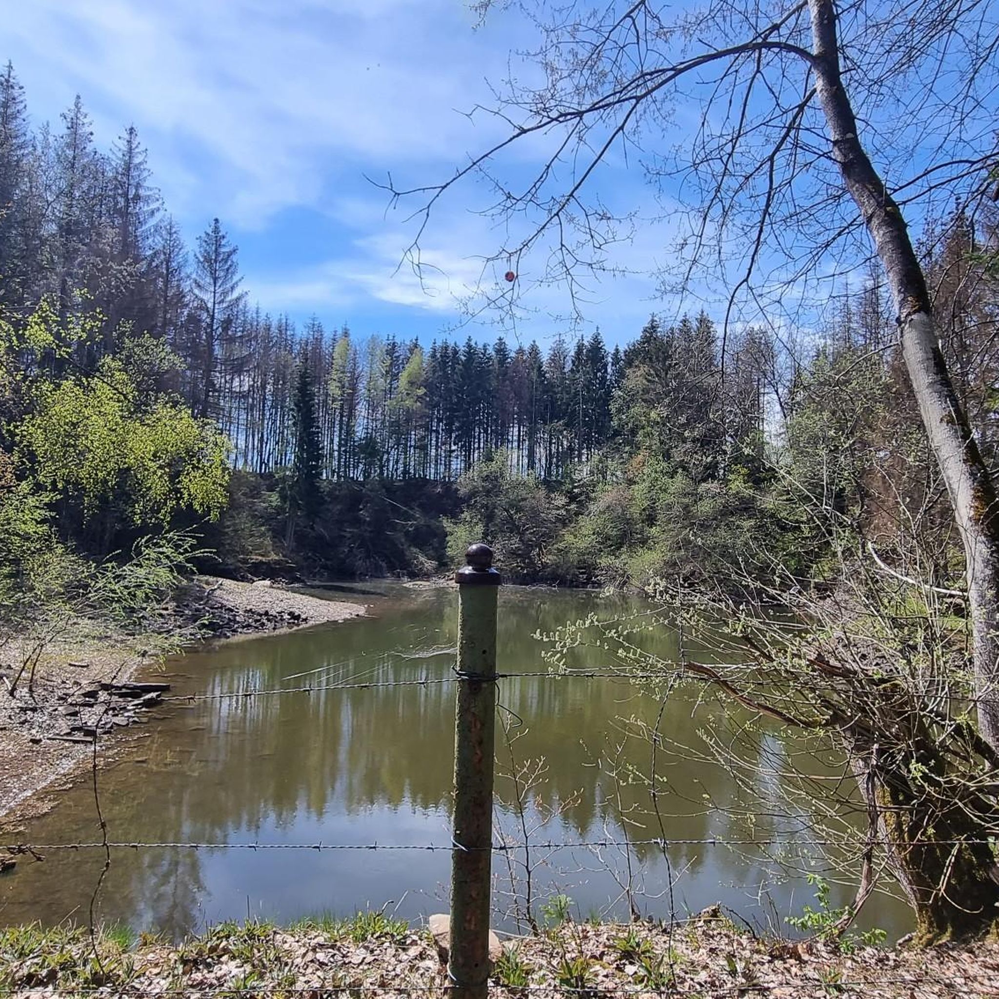
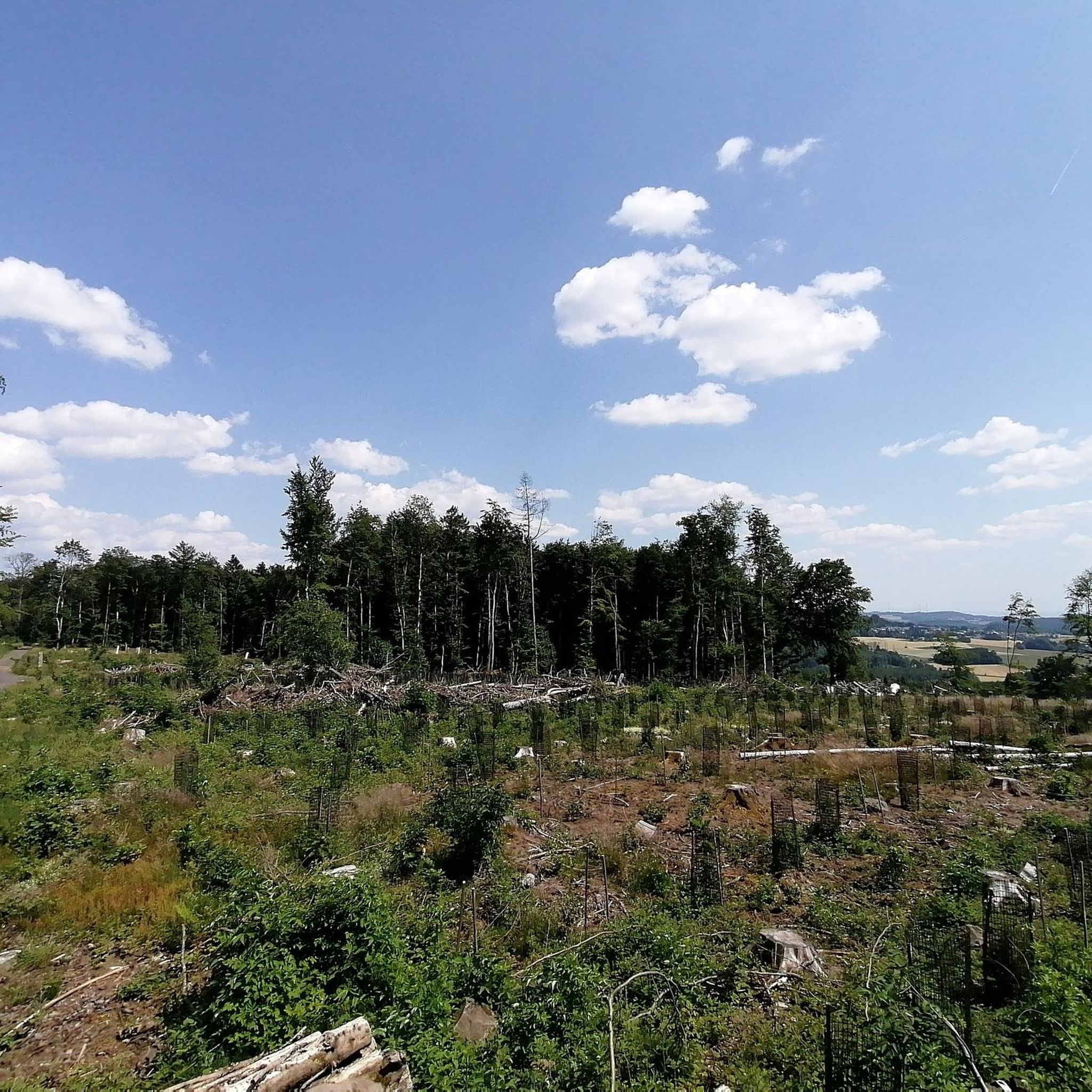

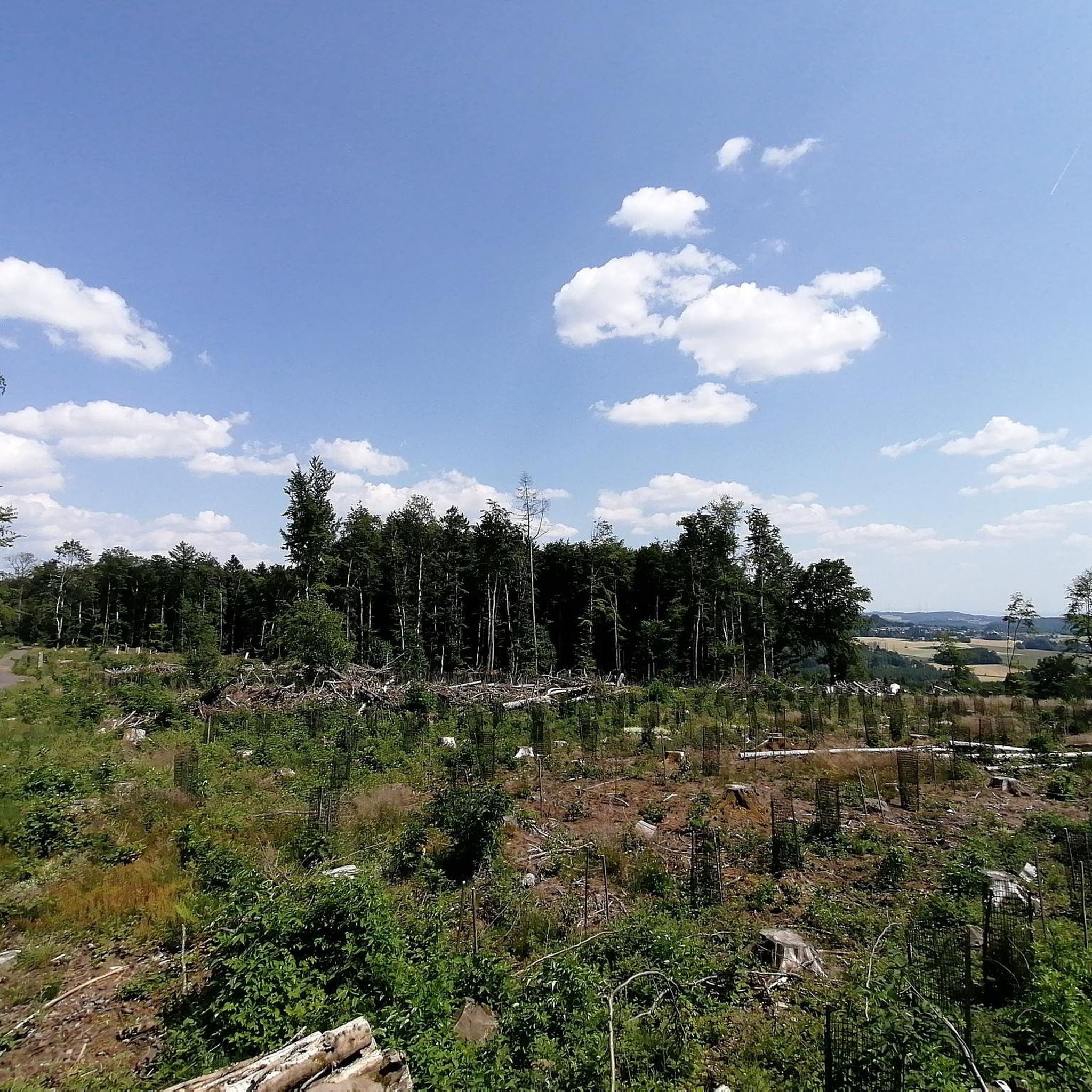
Tips from the Community


these buildings are almost indestructible
1
0

well maintained
2
0
Here you can see where the numerous paths lead you. I was happy to have spotted him in the unfamiliar terrain.
1
0
... great path near the chapel.
1
0
Frequently Asked Questions
How many hiking trails are available around Langenhahn?
Langenhahn offers a diverse network of over 30 hiking trails. These routes cater to various preferences, including 19 easy, 10 moderate, and 1 difficult option, ensuring there's a suitable path for every hiker.
What natural attractions can I explore while hiking near Langenhahn?
The region boasts several notable natural features. You can explore the impressive Holzbachschlucht, a gorge known for its basalt formations and fresh air. Another scenic spot is the Dreifelder Weiher, featuring wooden boardwalks for a pleasant walk. The nearby Bacher Lay Basalt Quarry also offers unique geological insights.
Are there any waterfalls to see on hikes around Langenhahn?
Yes, the area features a beautiful waterfall. You can find the Waterfall in the Holzbach Gorge, which is a prominent highlight within the impressive Holzbachschlucht.
What do other hikers say about the trails in Langenhahn?
The hiking trails in Langenhahn are highly regarded by the komoot community, holding an average rating of 4.5 stars from over 60 reviews. Hikers frequently praise the varied terrain, extensive forests, and the tranquil atmosphere of the Westerwald region.
Are there family-friendly hiking options in Langenhahn?
Absolutely. Many of the 19 easy trails around Langenhahn are suitable for families. For example, the St. Hubertus Monument – Lothar-Bleser Trail loop from Langenhahn is an easy 2.0-mile (3.2 km) path that offers varied terrain without being too strenuous for younger hikers.
Can I bring my dog on the hiking trails around Langenhahn?
Most trails in the Langenhahn area are dog-friendly, allowing you to enjoy the natural landscapes with your canine companion. It's always recommended to keep dogs on a leash, especially in forested areas or near wildlife, and to respect local regulations.
What is the best time of year to go hiking in the Westerwald region around Langenhahn?
The Westerwald region offers beautiful hiking experiences throughout the year. Spring brings blooming nature, summer provides lush green forests, and autumn showcases vibrant foliage. Even winter can be magical for hiking, especially after a fresh snowfall. The best time depends on your preference for scenery and weather.
Are there many circular hiking routes in Langenhahn?
Yes, Langenhahn is well-suited for circular hikes, often referred to as 'loop trails'. Many routes, such as the popular View of Langenhahn – Marienpfad loop from Langenhahn, are designed as loops, allowing you to start and end at the same point without retracing your steps.
Are there options for longer, more challenging hikes near Langenhahn?
While Langenhahn itself offers mostly easy to moderate trails, the broader Westerwald region and nearby areas provide more challenging options. For extensive treks, the Lahn Hiking Trail (Lahnwanderweg) in the nearby Lahn Valley offers a substantial 295 km path through varied terrain. More information can be found on Hessen Tourismus.
Where can I find parking for hiking trails in Langenhahn?
Many of the hiking trails around Langenhahn have designated parking areas near their starting points. For specific routes, such as the Bench at the Edge of Town – View of Langenhahn loop from Langenhahn, you can often find convenient parking close to the town's edge or other accessible points.
Are there any trails that offer views of the Langenhahn area?
Yes, several trails provide scenic vistas of Langenhahn and the surrounding Westerwald landscape. The View of Langenhahn – Marienpfad loop from Langenhahn is specifically known for offering picturesque views over the area.
Most popular routes around Langenhahn
Most popular attractions around Langenhahn

Get inspired with the komoot mobile app


Explore more
Browse the best Hikes in other regions.
