Top 17 Natural Monuments around Pontinvrea
Best natural monuments around Pontinvrea are found within the geologically rich Ligurian Alps of Italy. This area is characterized by a complex geological setting, where distinct metaophiolite units contribute to diverse landscapes. Visitors can explore a variety of natural features, from mountain peaks and panoramic viewpoints to serene lakes and unique rock formations. The region offers opportunities for hiking and experiencing the natural beauty of the Ligurian hinterland.
Best natural monuments around Pontinvrea
- The most popular natural monuments is Panoramic…
Last updated: August 21, 2026
Megalithic Path (Strada Megalitica) – Beigua Regional Nature Park
Highlight • Trail
Translated by Google •
Tip by

Monte Beigua
Highlight • Summit
Translated by Google •
Tip by

Sign up now to discover places like this
Get recommendations on the best single tracks, peaks, & plenty of other exciting outdoor places.
Sign up for free
Panoramic Viewpoint - Rocca dell'Adelasia
Highlight • Viewpoint
Translated by Google •
Tip by

Laghetti di Pontinvrea
Highlight • Lake
Translated by Google •
Tip by

Cima di Dena
Highlight • Summit
Translated by Google •
Tip by
Sign up for free to discover even more natural monuments around Pontinvrea.
Sign up for free
Already have an account?
Start today with a free account
Your next adventure awaits.
Login or Signup

Tips from the Community

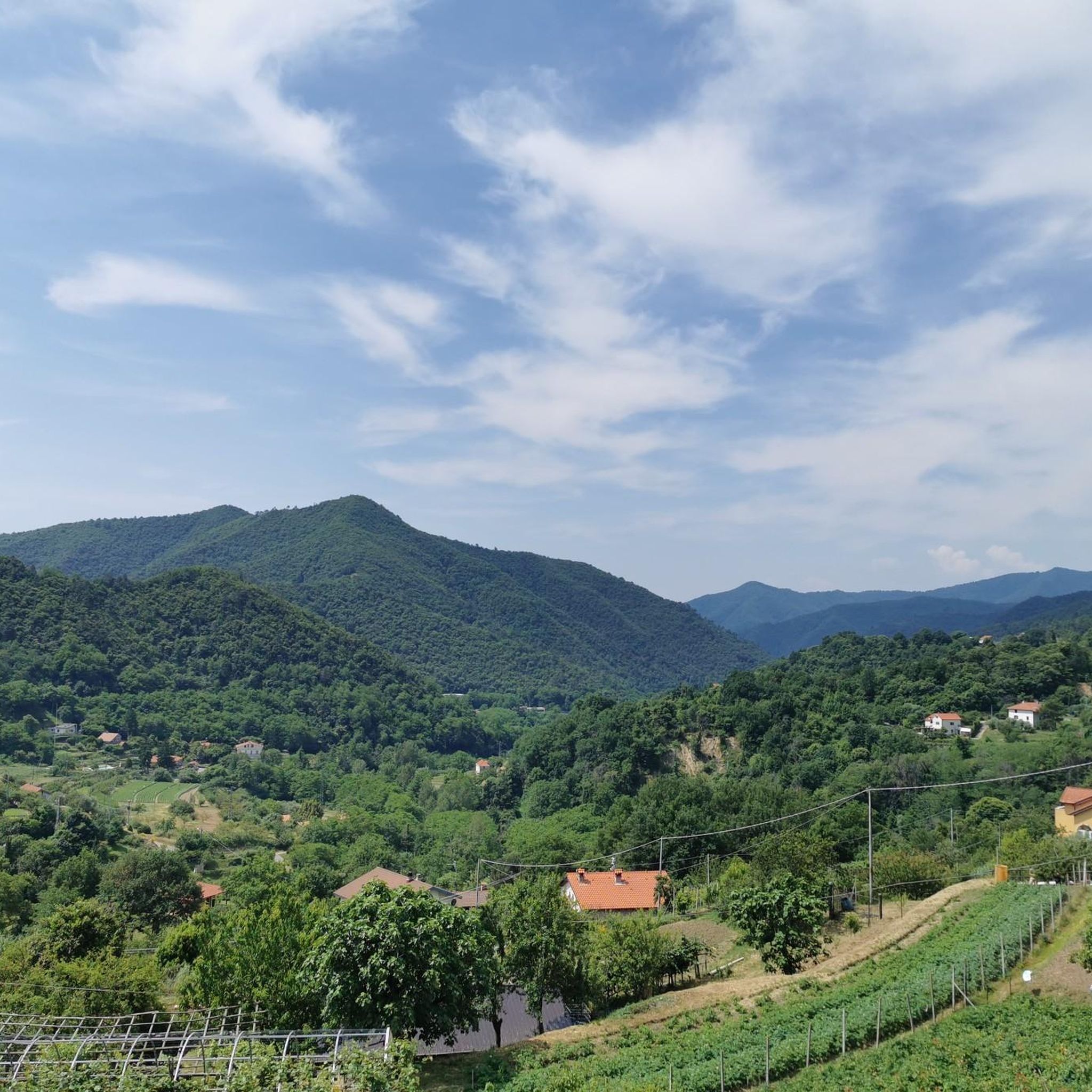
Cima di Déiva (707 m) is an inconspicuous peak that rises between the main branch of the Erro Valley and the valley of the Rio del Giovo, its tributary. It is not the highest peak in this buttress, but it gives its name to the small mountain subgroup to which it belongs. The northern portion of the subgroup, near Sassello, is home to the Déiva State Forest.
9
0
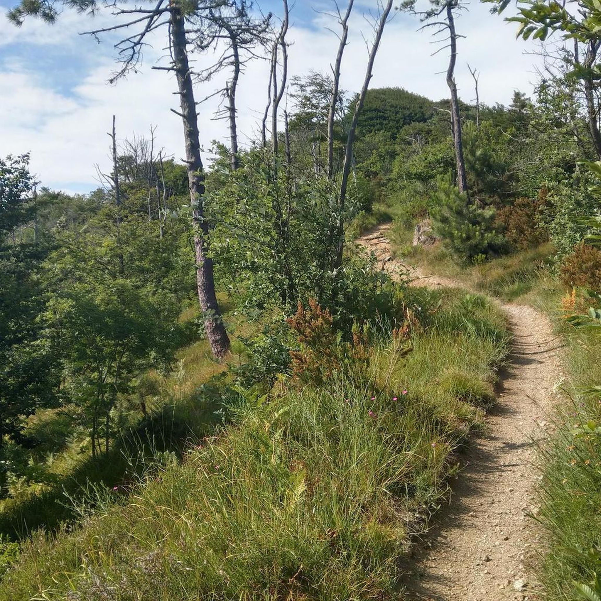
Mount Beigua is a mountain range in the Ligurian Apennines, 1,287 meters above sea level, located on the Ligurian-Po watershed. It is the highest peak of the so-called "Beigua group," which includes nearby Mount Grosso, Mount Ermetta, and Bric Veciri.
11
0

Pleasant route inside the Adelasia Reserve (Sv).
0
0

Perfect ride for a gravel, almost all asphalt climb, from the lakes onwards half and half and then beautiful dirt road descent
0
0

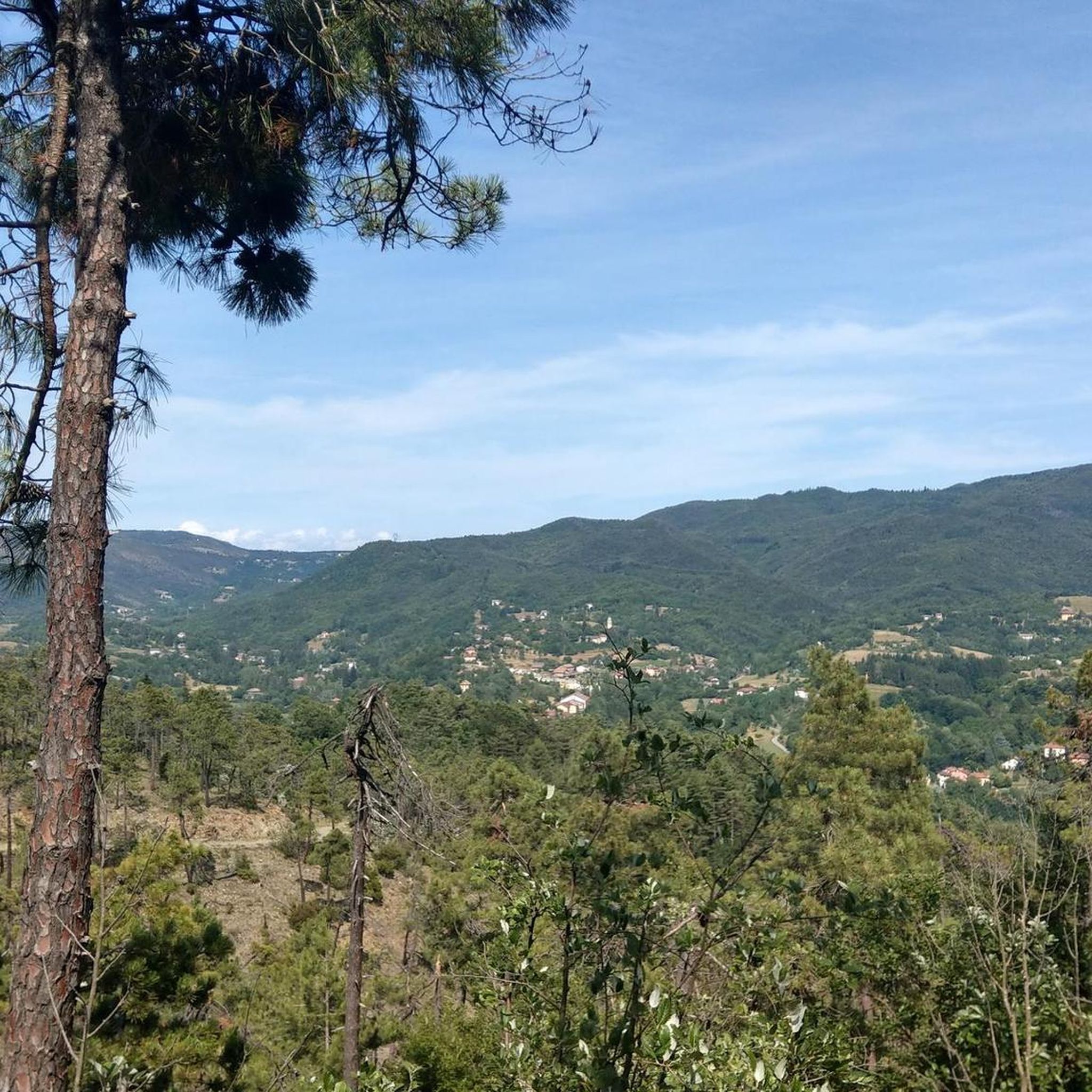
Very nice viewpoint and the main attraction in the nature park.
0
0
Just below the viewpoint there is a picnic bench in the shade.
0
0
Picnic benches in the shade of the forest. Directly below the viewpoint.
0
0

Mount Beigua (Munte Beigua or Mount Beigoa in Ligurian) is a mountainous relief in the Ligurian Apennines, 1287 m high above sea level, which rises on the Ligurian-Po Valley watershed. It is the highest peak of the so-called "Beigua group", which includes the nearby Monte Grosso (1265 m), Monte Ermetta (1267 m), Bric Veciri (1264 m), Monte Avzè (1022 m).
1
0
Frequently Asked Questions
What unique geological features can I explore around Pontinvrea?
The Pontinvrea area is rich in geological diversity. You can observe distinctive formations like the 'muriòn' or Murion Rock Formations, which are sandstone blocks preserved by selective erosion. The region also features complex metaophiolite units and outcrops of serpentinites, serpentinoscists, and schistose prasinites, particularly visible near Megalithic Path (Strada Megalitica) – Beigua Regional Nature Park and Monte Beigua.
Are there any historically significant natural monuments in the area?
Yes, the Megalithic Path (Strada Megalitica) – Beigua Regional Nature Park is a notable site. This trail, appearing as a paved avenue bordered by beech trees and stone walls, exhibits peculiarities suggesting Celtic culture and potential ritual purposes, such as its orientation reproducing the path of the sun on the summer solstice.
What are some of the most scenic viewpoints near Pontinvrea?
For stunning vistas, visit Panoramic Viewpoint - Rocca dell'Adelasia within the Adelasia Reserve. It offers expansive views of the surrounding natural park. Additionally, Monte Beigua provides panoramic views of the Ligurian landscape, including the sea, Apennines, and on clear days, the Piedmontese Alps.
Where can I find tranquil spots for relaxation and recreation?
The Laghetti di Pontinvrea offer a pleasant escape. These lakes, just a short distance from the village, have a small dam creating refreshing bathing areas with a lovely pebble beach. They are equipped with roadside parking and picnic tables, making them ideal for a summer outing.
What is the highest peak I can visit in the Pontinvrea area?
The highest peak you can visit is Monte Beigua, which reaches 1,287 meters above sea level. It is the highest point of the 'Beigua group' within the Ligurian Apennines and offers extensive views.
What outdoor activities are available near Pontinvrea's natural monuments?
The area around Pontinvrea offers a variety of outdoor activities. You can find numerous routes for road cycling, mountain biking, and running. For more details on routes, explore the Road Cycling Routes around Pontinvrea, MTB Trails around Pontinvrea, and Running Trails around Pontinvrea guides.
Are there specific hiking trails recommended for exploring the natural monuments?
Yes, several trails allow you to explore the natural monuments. The Megalithic Path (Strada Megalitica) – Beigua Regional Nature Park is an easy-to-access trail that offers unique historical and natural insights. You can also hike to Monte Beigua for challenging routes with rewarding views, or explore the area around Cima di Dena, which is part of the Déiva State Forest, ideal for tranquil walks. For more options, check the Running Trails around Pontinvrea guide, which includes hiking-suitable paths.
Are there any cycling routes that pass by these natural monuments?
Yes, the region offers both road cycling and mountain biking routes. For example, the 'Laghetti di Pontinvrea loop from Forte Moglie' is a moderate MTB trail that passes by the lakes. You can find detailed routes and guides for both disciplines in the Road Cycling Routes around Pontinvrea and MTB Trails around Pontinvrea sections.
When is the best time of year to visit the natural monuments around Pontinvrea?
The best time to visit depends on your preferred activity. Summer is ideal for enjoying the bathing areas at Laghetti di Pontinvrea. For hiking and exploring the mountain peaks like Monte Beigua, spring and autumn offer pleasant temperatures and clear views. The varied ecosystems of the Beigua Regional Natural Park can be enjoyed across different seasons, with each bringing its own unique beauty.
Are there family-friendly natural monuments suitable for all ages?
Absolutely. Several natural monuments are suitable for families. The Megalithic Path (Strada Megalitica) – Beigua Regional Nature Park is an easy and engaging trail. Laghetti di Pontinvrea are perfect for a family day out with swimming and picnic facilities. Even Monte Beigua and Panoramic Viewpoint - Rocca dell'Adelasia offer family-friendly options, though some trails to the summits might be more challenging.
What kind of terrain can I expect on trails around Pontinvrea's natural monuments?
The terrain around Pontinvrea is diverse, reflecting its complex geological setting. You can expect varied landscapes ranging from paved avenues and gentle paths, like parts of the Megalithic Path, to more rugged and rocky trails leading to peaks like Monte Beigua. The region features diverse rock formations, including serpentinites and schistose prasinites, and areas with beech forests and open environments offering panoramic views.
Are there options for less crowded natural attractions near Pontinvrea?
For a quieter experience, consider exploring the area around Cima di Dena. Although not the highest peak, its northern portion near Sassello is home to the Déiva State Forest, providing tranquil walks amidst nature away from more frequented spots.
Most popular attractions around Pontinvrea

Get inspired with the komoot mobile app


Explore more
Extend your search for the best caves by checking out these guides of the top ones around Pontinvrea:
