Top 4 Mountain Passes around Nogarole Vicentino
Best mountain passes around Nogarole Vicentino traverse the hilly terrain of the Venetian hills, offering elevated routes and panoramic views. This rural municipality is situated on the ridge line of the Chiampo Valley, providing access to natural retreats. The area features various trails suitable for hiking and cycling, connecting different valleys and offering expansive vistas. These routes are valued for their scenic beauty and opportunities for outdoor activities.
Best mountain passes around Nogarole Vicentino
- The most popular mountain passes is…
Last updated: July 11, 2026
Passo del Mucchione
Highlight (Segment) • Mountain Pass
Translated by Google •
Tip by

Archeovia
Highlight • Historical Site
Translated by Google •
Tip by

Sign up now to discover places like this
Get recommendations on the best single tracks, peaks, & plenty of other exciting outdoor places.
Sign up for free
Chapel of Passo Santa Caterina
Highlight • Religious Site
Translated by Google •
Tip by

Passo Campanella
Highlight • Mountain Pass
Translated by Google •
Tip by

Start today with a free account
Your next adventure awaits.
Login or Signup
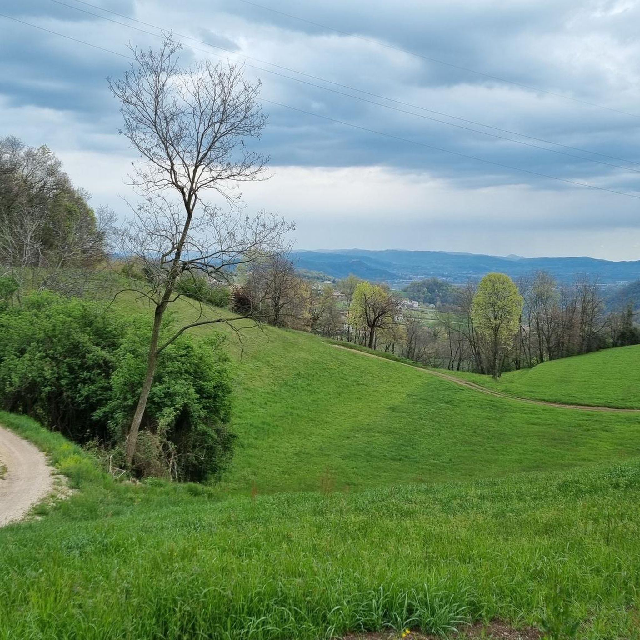

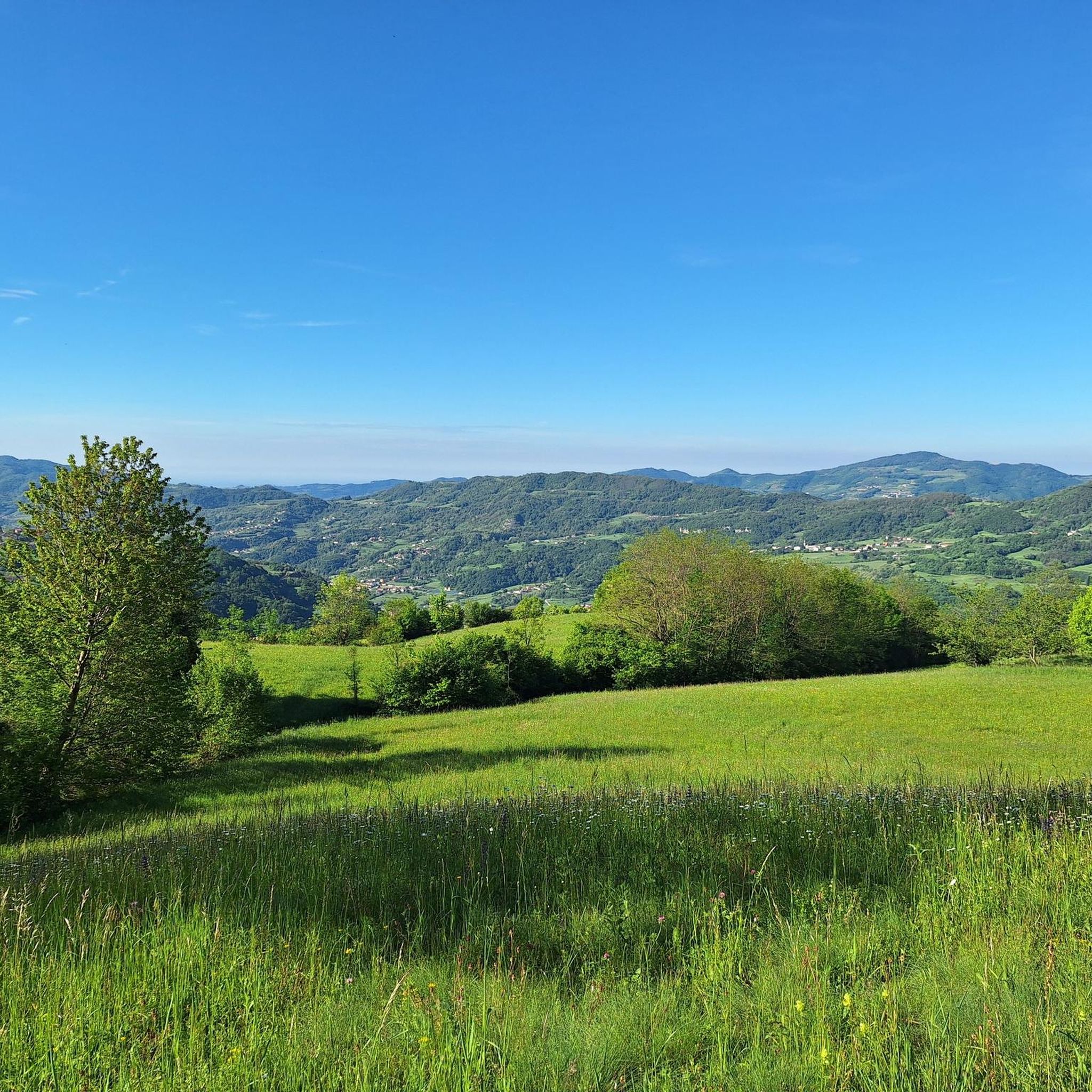
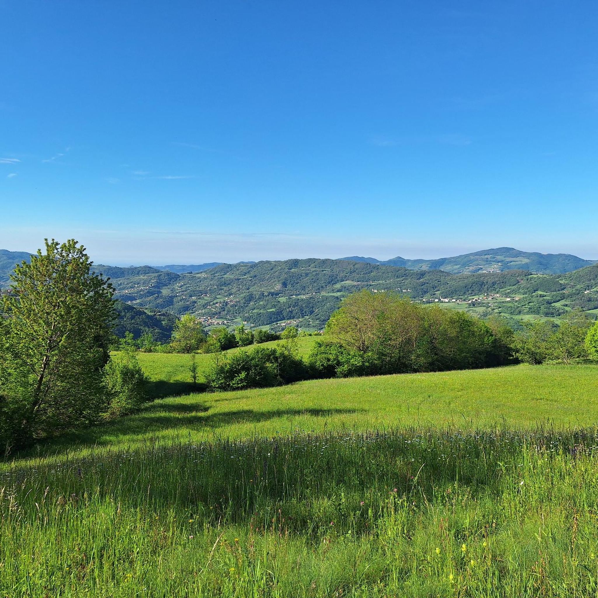
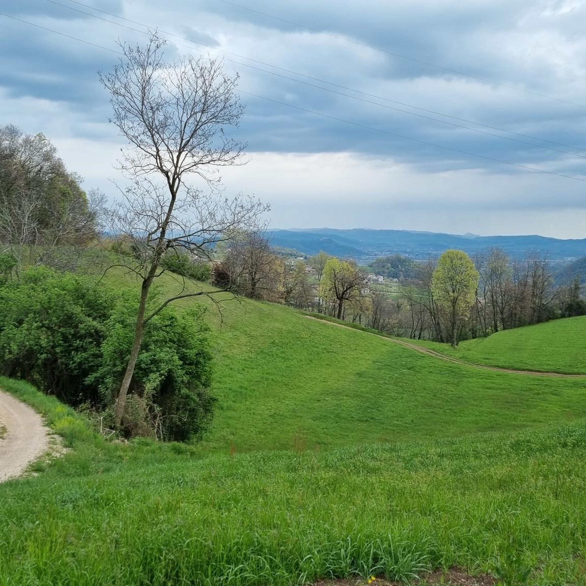
Tips from the Community

Osso reached from Chiampo, excellent route with little traffic and roads almost always in good condition
0
0

Rocoli Path to the Mucchione Church
2
0


Panoramic point. Alpine pass that allows the passage from the Agno valley to the Chiampo valley
0
0

This segment is part of the very long historical naturalistic itinerary "Ortogonale 1" which starts from Monteviale and arrives in Campogrosso. The stretch between the Cima locality and the Mucchione district is one of the most technical of the entire itinerary due to the coarse basalt layer that characterizes it. after a slightly technical stretch of 500m from the picnic area (coming from Mucchione) you reach a crossroads. From there the segment follows the path of intermediate difficulty between the three possible ones. The difficulty is lower than s2 contrary to what is shown on the map. In the central section, marked as s3 (again more s2 than s3), pay particular attention to the stones, especially if it is wet. The ground tends to be slimy.
2
0
Frequently Asked Questions
What are some notable mountain passes around Nogarole Vicentino?
While Nogarole Vicentino features several elevated points, some key mountain passes in the immediate vicinity include Passo del Mucchione, known for its technical sections on the Ortogonale 1 itinerary, and Passo Campanella, which offers an excellent route with little traffic. You can also find the Chapel of Passo Santa Caterina, a panoramic point connecting the Agno and Chiampo valleys.
Are there historical sites or points of interest near the mountain passes?
Yes, the area is rich in history. The Archeovia highlight, located at Campetto pass, features evocative displays of human settlements from various eras on Mount Campetto. In the broader Vicenza area, the Tre Croci Pass in the Little Dolomites is historically significant, marked by World War I trenches.
What kind of views can I expect from the mountain passes in this area?
The mountain passes and elevated points around Nogarole Vicentino offer extensive panoramic views. From locations like the Chapel of Passo Santa Caterina and the Campetto pass (Archeovia), you can enjoy broad vistas across the green landscapes, often extending from the Little Dolomites to the Venice lagoon. The region is known for its scenic beauty.
Are there family-friendly mountain passes or trails?
While many trails in the region are intermediate, Passo Campanella is noted as being family-friendly. Generally, the area offers numerous hiking trails of varying distances and elevations, so you can find routes suitable for different family activity levels.
What outdoor activities, besides hiking, can I do near these mountain passes?
The hilly terrain around Nogarole Vicentino is excellent for various outdoor activities. You can find numerous routes for running, gravel biking, and traffic-free bike rides. The Old Wool Road, for instance, is a beautiful gravel road appreciated by cyclists for both uphill and downhill rides.
Are there challenging routes for experienced hikers or cyclists?
Yes, for those seeking a challenge, the area offers several difficult routes. For runners, options include the 18.5 km "Church of Peace of Alvese – Cason dei Verda loop from Chiampo" or the 22.8 km "Cason dei Verda – Furlani-Zonati Trail loop from Chiampo." Gravel bikers can tackle routes like the 124.8 km "Giazza – View of Illasi Castle loop from Castelgomberto." The Passo del Mucchione also features technical sections, especially due to its coarse basalt layer.
What is the best time of year to visit the mountain passes around Nogarole Vicentino?
The region's green landscapes and outdoor activities are best enjoyed during spring, summer, and early autumn when the weather is mild and trails are clear. While specific winter conditions vary, some trails might become gravelly or slippery, especially after rain, so checking local conditions is advisable.
How accessible are these mountain passes by public transport or car?
Nogarole Vicentino is a rural municipality, and while specific public transport options directly to every mountain pass might be limited, the area is generally accessible by car. Many trails and passes, like Passo Campanella, are reached via routes with little traffic, making driving to trailheads a common option. Parking availability can vary by specific starting points.
Are there places to eat or drink near the mountain passes?
While specific cafes or pubs directly on every pass are not common, the region offers places to relax and enjoy views. For example, the Montefalcone Hut (Gingerino) near the Campetto pass provides a spot to enjoy broad vistas during a trek. Nogarole Vicentino and surrounding towns will have dining options.
What makes Passo del Mucchione a unique highlight?
Passo del Mucchione is part of the very long historical naturalistic itinerary "Ortogonale 1." The segment between Cima and Mucchione is considered one of the most technical parts of the entire route, characterized by a coarse basalt layer. It offers a challenging experience, especially if wet, due to the ground tending to be slimy.
Can I bring my dog on the trails around these mountain passes?
While specific rules for every trail vary, many outdoor areas in Italy are dog-friendly, especially on hiking trails. It's generally recommended to keep dogs on a leash, especially in nature reserves or areas with wildlife, and to clean up after them. Always check local signage for any specific restrictions.
What is the Tre Croci Pass, and where is it located?
The Tre Croci Pass is a notable mountain pass located in the nearby Little Dolomites, accessible via a hiking route from Battisti Refuge. It reaches an altitude of 1,716 meters and is known for its natural beauty and historical context, featuring World War I trenches. The path is mostly easy but can be gravelly.
Most popular routes around Nogarole Vicentino
Most popular attractions around Nogarole Vicentino

Get inspired with the komoot mobile app


Explore more
See even more epic mountain passes by checking out these guides around Nogarole Vicentino:
