Top 8 Mountain Passes around Campolongo Sul Brenta
Best mountain passes around Campolongo Sul Brenta are found in a region characterized by its natural beauty and historical significance, particularly within the Brenta Valley and leading up to the Asiago plateau. This area offers a diverse landscape, from river valleys to elevated routes, providing varied experiences for outdoor enthusiasts. The terrain includes both challenging climbs and scenic routes, often featuring remnants of WWI history. The region's mountain passes and elevated trails connect different valleys and plateaus, showcasing the local…
Last updated: September 4, 2026
Foza–Valstagna Hairpin Road
Highlight (Segment) • Mountain Pass
Little traffic, partly beautiful views.
From Valstagna to Foza to the Sette Comuni, the Asiago plateau.
More information: de.wikipedia.org/wiki/Sieben_Gemeinden_(Italien)
Translated by Google •
Tip by

Col d'Astiago
Highlight • Mountain Pass
Translated by Google •
Tip by

Sign up now to discover places like this
Get recommendations on the best single tracks, peaks, & plenty of other exciting outdoor places.
Sign up for free
Valstagna–Foza Climb
Highlight (Segment) • Climb
Translated by Google •
Tip by

Ascent to Monte Grappa from Romano d'Ezzellino
Highlight (Segment) • Climb
Translated by Google •
Tip by

Monte Grappa Nature Loop (Trail 156)
Highlight (Segment) • Trail
Translated by Google •
Tip by

Sign up for free to discover even more mountain passes around Campolongo Sul Brenta.
Sign up for free
Already have an account?
Start today with a free account
Your next adventure awaits.
Login or Signup
Popular around Campolongo Sul Brenta
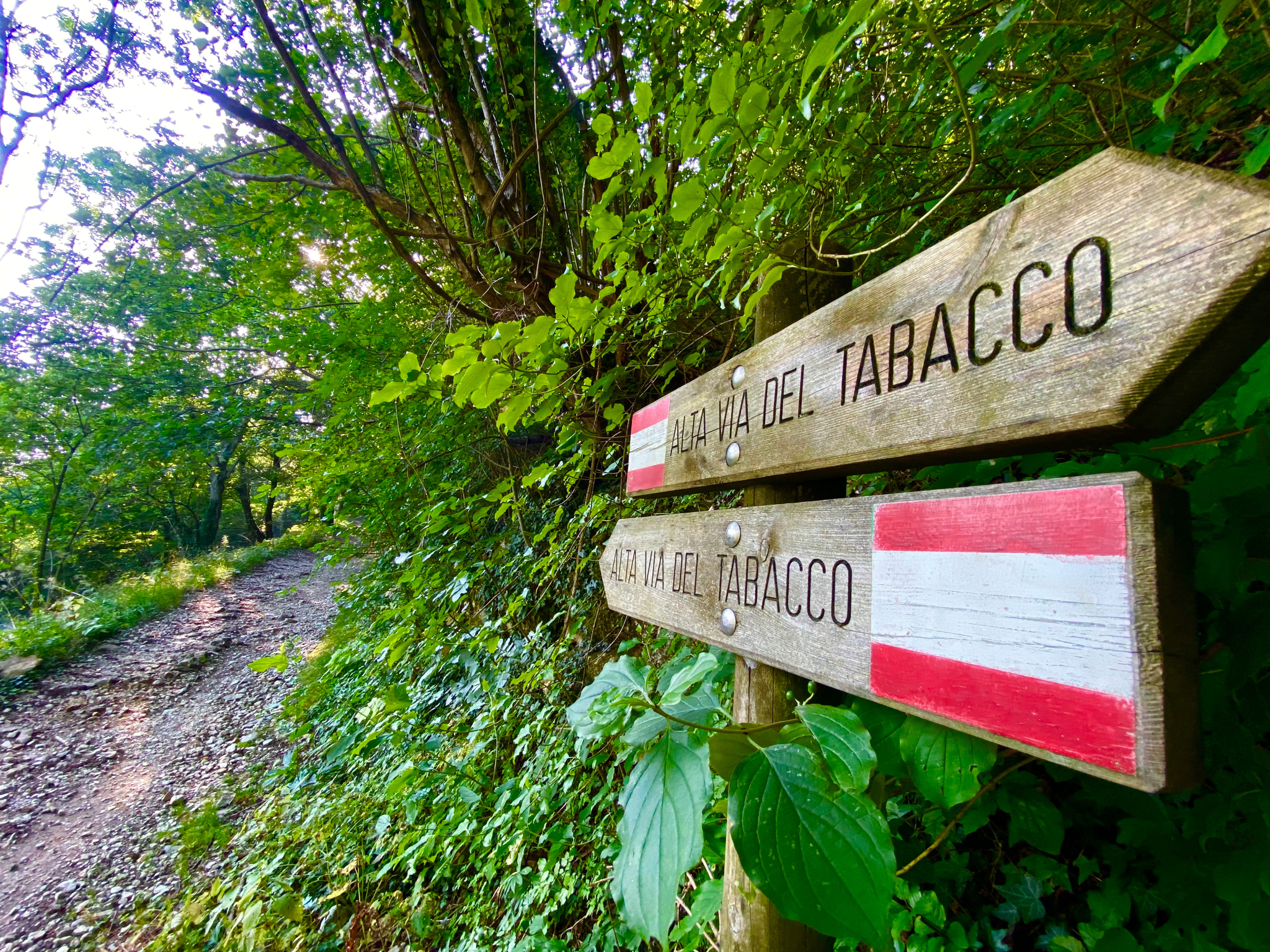
Hike an old smugglers’ road – Alta Via del Tabacco
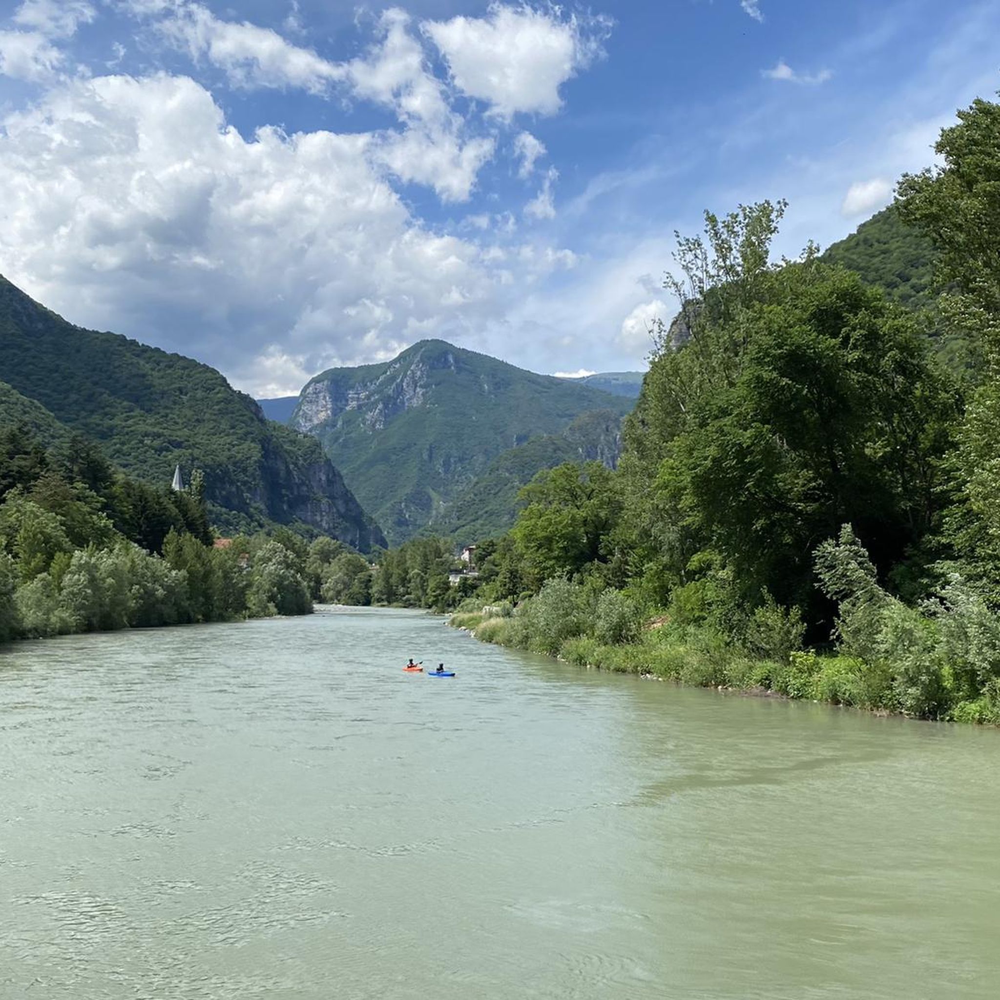
Hiking around Campolongo Sul Brenta
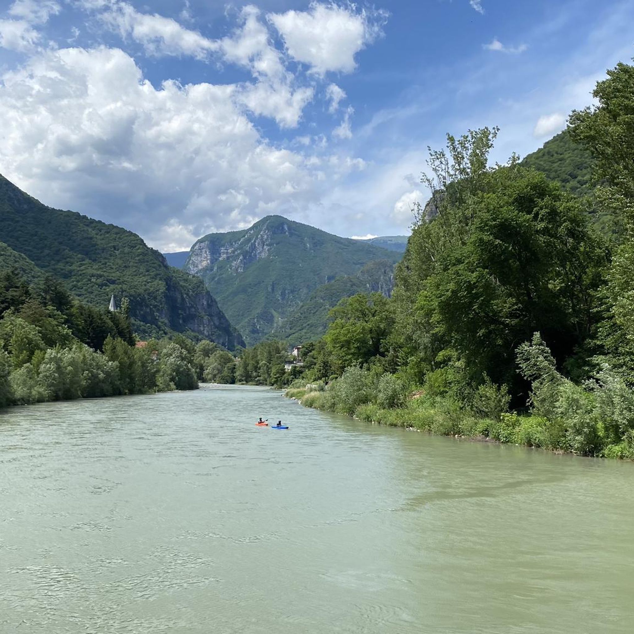
MTB Trails around Campolongo Sul Brenta
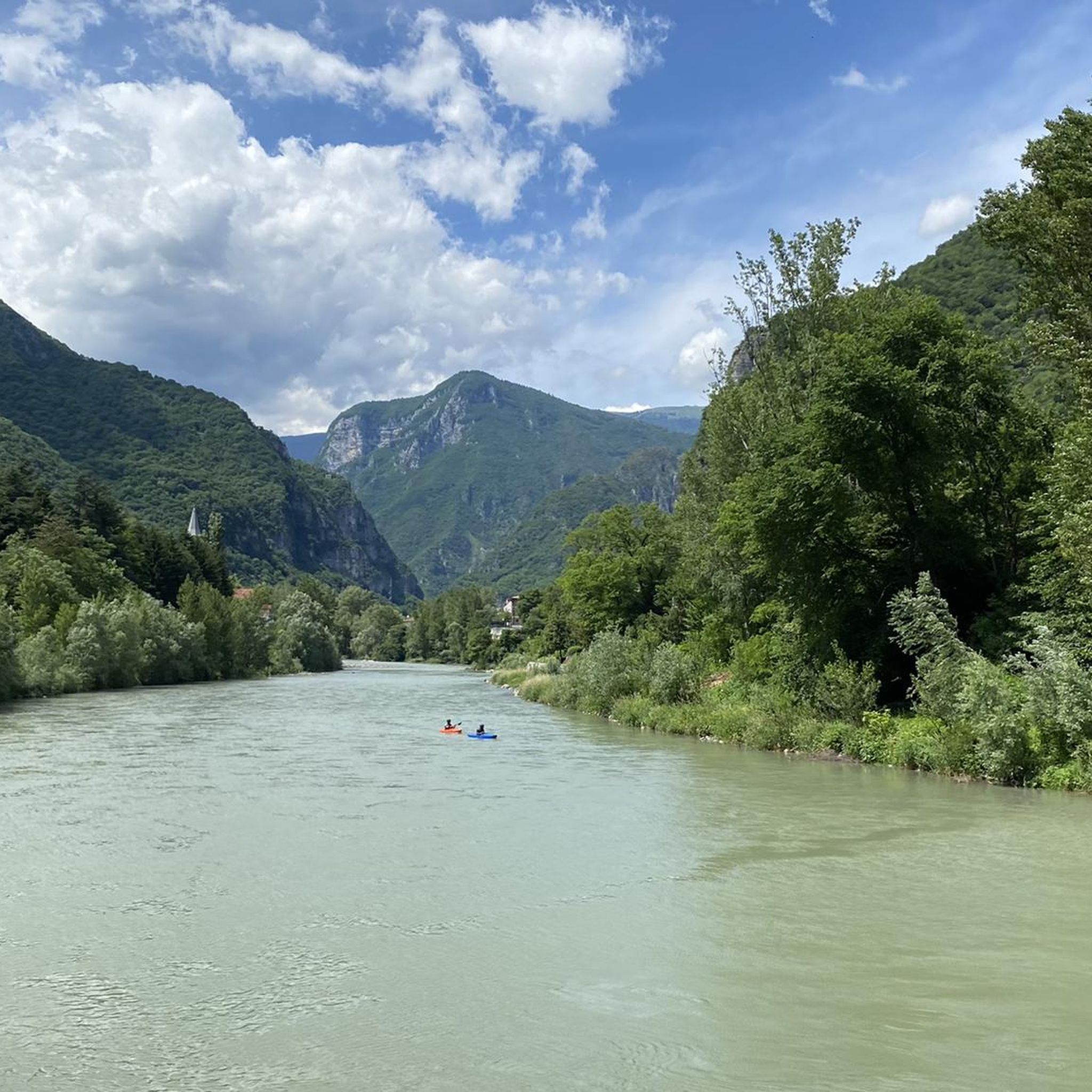
Road Cycling Routes around Campolongo Sul Brenta
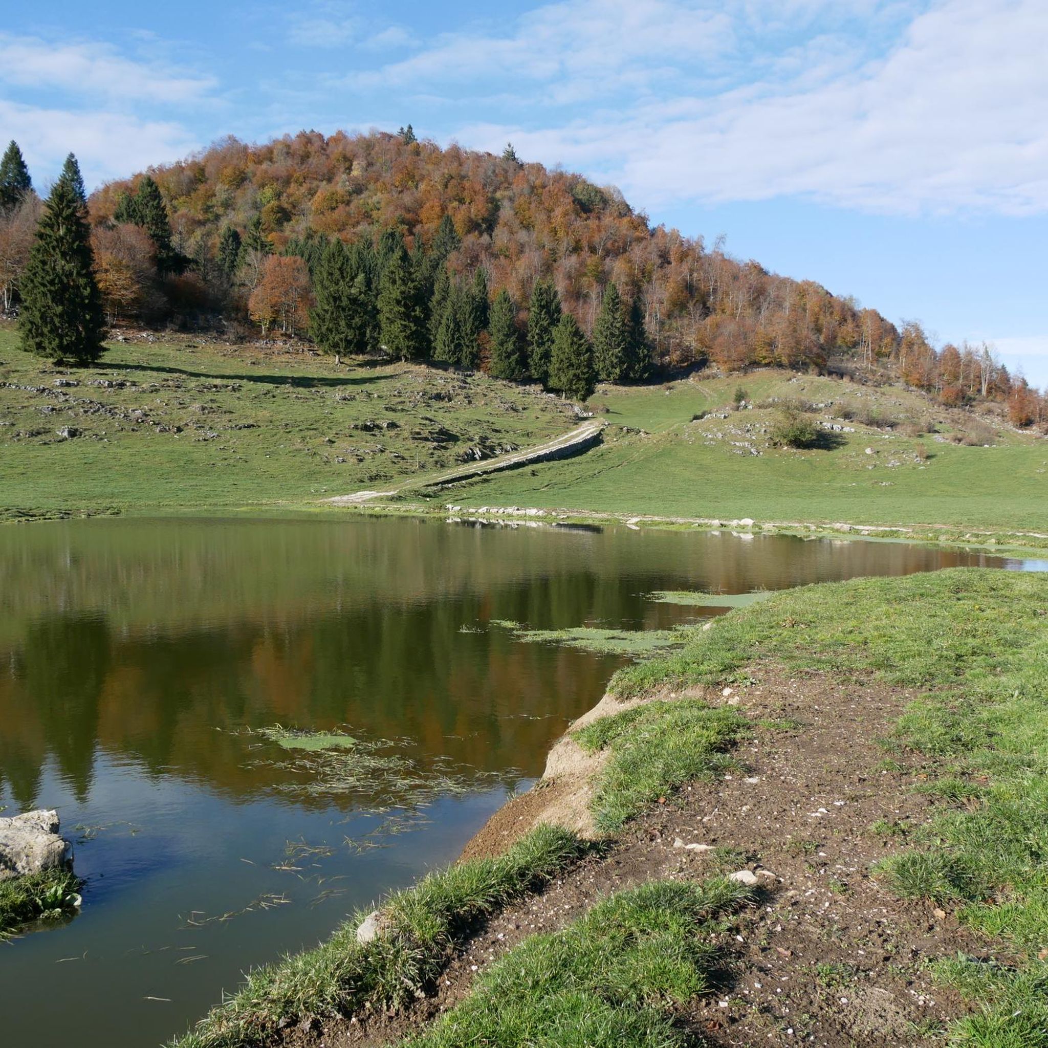
Running Trails around Campolongo Sul Brenta
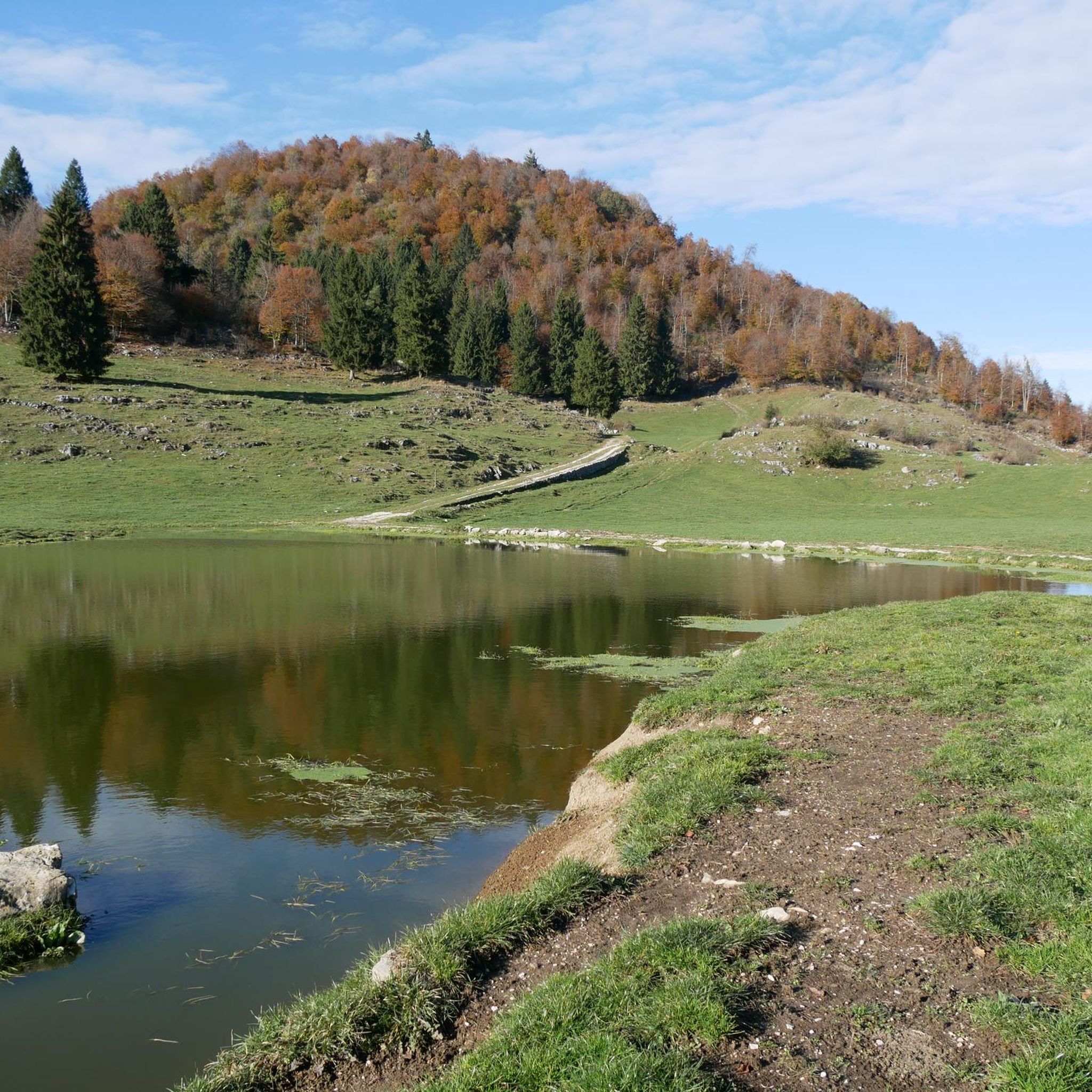
Cycling around Campolongo Sul Brenta

Gravel biking around Campolongo Sul Brenta
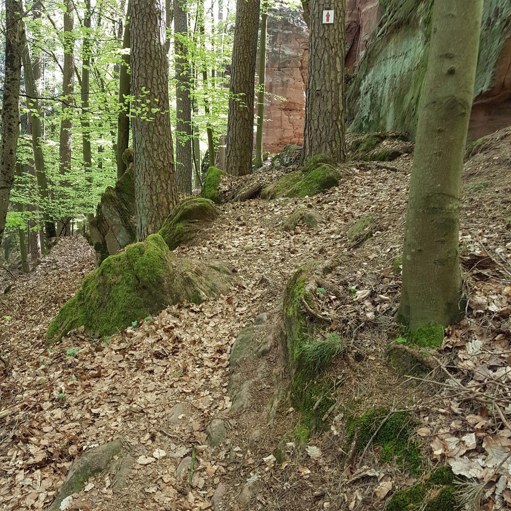
Mountain Hikes around Campolongo Sul Brenta
Other adventures around Campolongo Sul Brenta

Tips from the Community

The beautiful descent from Monte Grappa to the Bocchette refuge. It does not present particular difficulties.
0
0

This climb is a must-do, and shouldn't be underestimated. Fortunately, it has some sections where you can catch your breath.
0
0

The path isn't as steep as the paved climb at the foot of the mountain when coming from Bassano. However, the many rocks mean it's still quite a challenge. Beautiful views from here!
1
0

Col d'Asiago offers a beautiful and privileged panoramic point on the underlying Canale del Brenta, or the narrow and deep terminal part of Valsugana. But the view extends over the Asiago Plateau and the entire skyline of mountains that border it to the north, the Grappa Massif to the east and the mouth of Val Brenta. In the distance, the Piccole Dolomiti, the Pale di San Martino and the Vette Feltrine. Precisely because of its strategic position, during the First World War it was a strongly armed Italian defensive bastion and decisive in various phases of the conflict. The peak is also known locally by the ancient and dialect toponym 'Col del S-ciavo', dating back to the time of the Serenissima: on the slopes of the hill in fact the 'schiavoni' (i.e. the non-Latin inhabitants of the dominions of Dalmatia and the Venetian hinterland) cut wood for the naval fleet; the trunks (especially beech trees) were lowered down the valley through the famous and nearby Calà del Sasso; they were then loaded onto rafts that went down the entire Brenta, until they reached the lagoon and the Arsenale of Venice. A large concrete cistern dominates the summit, collecting the water pumped from the Oliero Caves, 1000m further downstream, and distributing it to the Plateau.
0
0

From the 13th to the 15th km, pay attention and travel with caution due to the presence of many loose stones and a narrow and exposed path in some sections.
2
0

The easiest climb to tackle the grappa, which allows for some stretches to catch your breath
2
1

Thurs. October 12th '23 a car rally will be held on the public road that is not (!) closed. For the. For a long time I couldn't tell what was going on - until I noticed the folding chairs with the marshals... If available, the center line is the benchmark for the drivers and the hairpin bends are preferably driven on the inside: Have fun descending into the right-hand bends - there are always a few 'surprises'. I saw 2 Carabinieri vehicles on the way without any apparent surveillance activity - a third was taking care of an illegal parker. Well - I definitely won't be doing this (very nice) lap on this date again.
0
1

Col d'Astiago is located in the south-eastern sector of the Asiago plateau. Wide panorama of the Brenta and towards Monte Grappa. Here is the pumping station of the aqueduct that brings water from the Oliero caves to the plateau.
3
0
Frequently Asked Questions
What are the most popular mountain passes and climbs around Campolongo Sul Brenta?
The komoot community highly rates several routes. Among them are the challenging Valstagna–Foza Climb, known for its 20 hairpin bends and significant elevation gain, and the scenic Foza–Valstagna Hairpin Road, which offers beautiful views connecting Valstagna to the Asiago plateau. Another favorite is Col d'Astiago, a historical site with a wide panorama of the Brenta and Monte Grappa.
Are there mountain passes with historical significance near Campolongo Sul Brenta?
Yes, the region is rich in history. Col d'Astiago is a notable historical site, strategically important during World War I, offering insights into the past with remnants like a large concrete cistern built on the traces of a WWI aqueduct system. Additionally, the Historic Mule Track to Monte Campolongo (CAI 765) and Sentiero 769 feature well-preserved WWI trenches.
What kind of views can I expect from the mountain passes in this area?
The mountain passes around Campolongo Sul Brenta offer diverse and breathtaking views. From Col d'Astiago, you can enjoy a wide panorama of the Brenta Valley, Monte Grappa, and the Asiago Plateau, with distant views of the Piccole Dolomiti and Pale di San Martino on clear days. The Foza–Valstagna Hairpin Road also provides scenic vistas as you ascend towards the plateau.
What outdoor activities can I do near these mountain passes?
The area offers a variety of outdoor activities. For hiking, you can explore routes like the easy Sentiero Didattico Antonia Dal Sasso through Val Brutta canyon, or more challenging trails like the Historic mule track to Monte Campolongo (CAI 765). Road cycling is also very popular, with routes such as the Valstagna–Foza Climb and various loops around Monte Grappa.
Are there challenging climbs for cyclists in the Campolongo Sul Brenta region?
Absolutely. The region is well-known for its challenging cycling routes. The Valstagna–Foza Climb is a prime example, featuring a 14 km ascent with an average gradient of 6.7% and peaks of 11%. It's a favorite among cyclists for its demanding nature and scenic hairpin bends. The Ascent to Monte Grappa from Romano d'Ezzellino also offers a beautiful and long climb.
What is the best time to visit the mountain passes around Campolongo Sul Brenta?
The best time to visit for hiking and cycling is generally from spring through autumn when the weather is mild and the trails are clear of snow. During these seasons, you can fully enjoy the scenic beauty and outdoor activities. For winter sports enthusiasts, the broader Dolomite region, including Passo Campolongo, offers skiing opportunities.
Are there family-friendly options for exploring the area?
While many mountain passes involve challenging climbs, there are more accessible options. The Sentiero Didattico Antonia Dal Sasso through Val Brutta canyon is an educational trail that offers a relatively easy and engaging walk, suitable for families interested in local history, ecology, and scenic canyon landscapes.
What natural features can I see when visiting the mountain passes?
The region boasts diverse natural beauty. You'll encounter lush forests, particularly along routes like the Monte Grappa Nature Loop (Trail 156). The Val Brutta canyon offers picturesque landscapes, ancient terraces, and chestnut groves. The higher elevations provide panoramic views of the Brenta Valley and surrounding mountain ranges.
What do visitors enjoy most about the mountain passes near Campolongo Sul Brenta?
Visitors frequently praise the stunning panoramic views, the challenge of the climbs for cyclists, and the rich historical context, especially the World War I remnants. The limited traffic on many routes allows for a more immersive experience, whether cycling through hairpin bends or hiking through varied terrain. The opportunity to connect with nature and history simultaneously is a major draw.
Is there a significant mountain pass in the broader region that is well-known?
Yes, while not directly in Campolongo Sul Brenta, Passo Campolongo in the Dolomites is a highly regarded mountain pass. Situated at 1,875 meters, it connects Arabba and Corvara and is part of the famous Sellaronda circuit. It's popular for cycling, hiking, and offers breathtaking panoramas of the Sella Group.
Are there any specific tips for cycling the Valstagna–Foza Climb?
For the Valstagna–Foza Climb, be prepared for a fascinating and challenging ascent. It's a 14 km climb with an average gradient of 6.7% and peaks of 11%. Traffic is generally limited, allowing for an enjoyable ride through 20 hairpin bends. Remember to save some energy for the steeper sections towards the end and be ready for potentially colder temperatures at higher altitudes, especially in winter.
Most popular routes around Campolongo Sul Brenta
Most popular attractions around Campolongo Sul Brenta

Get inspired with the komoot mobile app


Explore more
See even more epic mountain passes by checking out these guides around Campolongo Sul Brenta:
