Top 15 Natural Monuments around Dèsulu/Desulo
Best natural monuments around Dèsulu/Desulo are situated within the Gennargentu massif on the western slope in Sardinia, Italy. This mountainous region is characterized by its pristine forests, varied landscapes, and significant geological formations. The area offers diverse natural features, from high peaks to refreshing waterfalls. It provides opportunities to explore unique natural attractions and expansive views.
Best natural monuments around Dèsulu/Desulo
- The most popular natural monuments is Summit of Punta La Marmora, a summit that offers panoramic views across…
Last updated: July 12, 2026
Summit of Punta La Marmora
Highlight • Summit
Translated by Google •
Tip by

Punta Paulinu
Highlight • Summit
Translated by Google •
Tip by

Sign up now to discover places like this
Get recommendations on the best single tracks, peaks, & plenty of other exciting outdoor places.
Sign up for free
Mount Bruncu Spina
Highlight • Summit
Translated by Google •
Tip by

Picnic area with a beautiful view
Highlight • Rest Area
Translated by Google •
Tip by
Correboi Pass
Highlight • Mountain Pass
Translated by Google •
Tip by

Sign up for free to discover even more natural monuments around Dèsulu/Desulo.
Sign up for free
Already have an account?
Start today with a free account
Your next adventure awaits.
Login or Signup
Tips from the Community


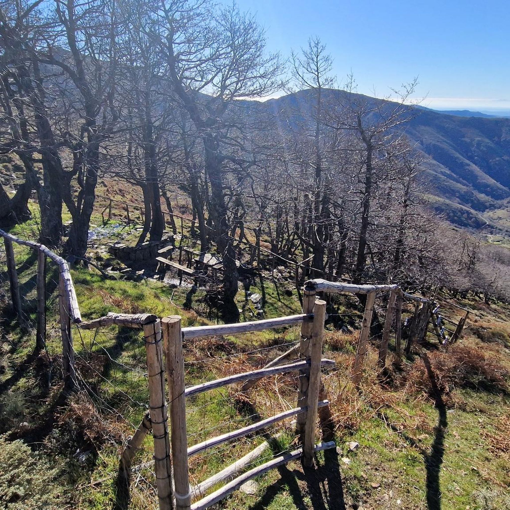
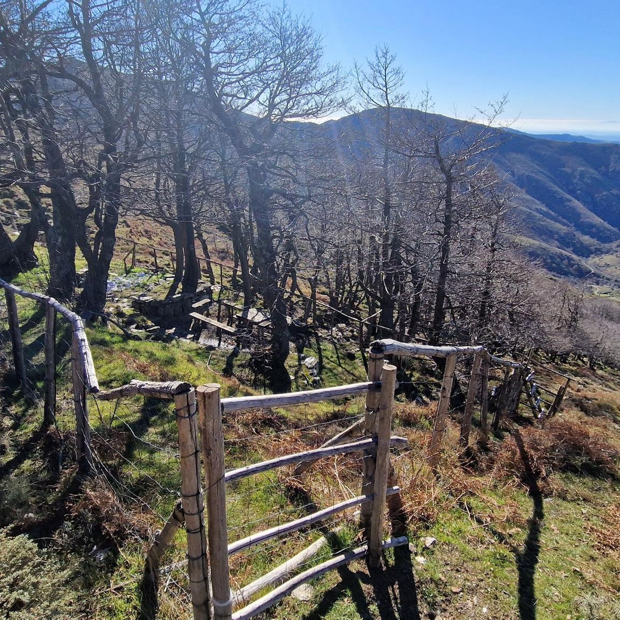
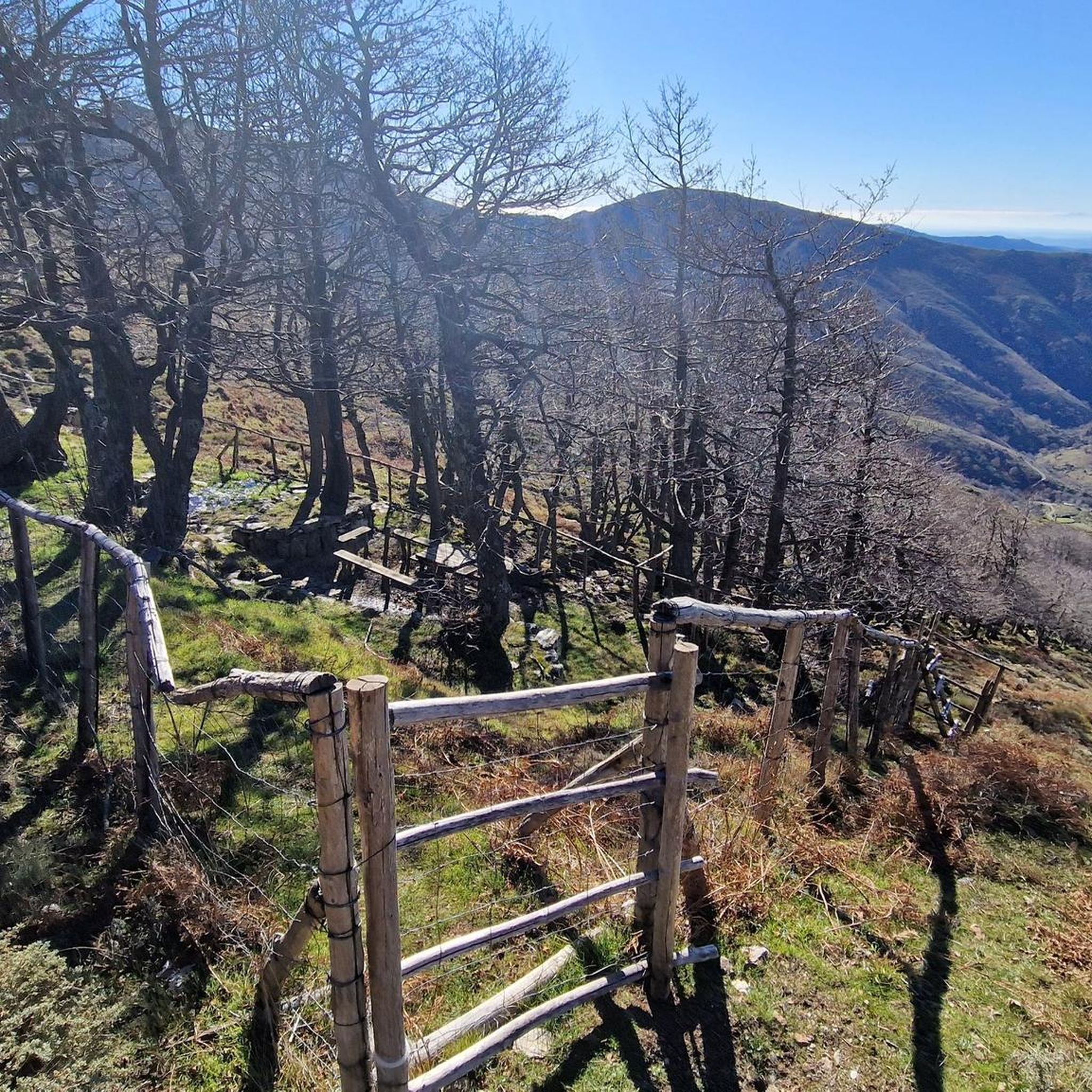
The Correboi Pass, or Corr'e Boi, is the highest road pass in Sardinia. Located in the Gennargentu massif, it separates the Barbagia region from the Ogliastra region and forms the natural watershed between the Taloro-Tirso and Flumendosa basins. It is now a road used primarily by local farmers and cyclists who prefer quieter roads.
4
0

With an all-mountain mountain bike you can do almost everything on the bike, both uphill and downhill
1
0


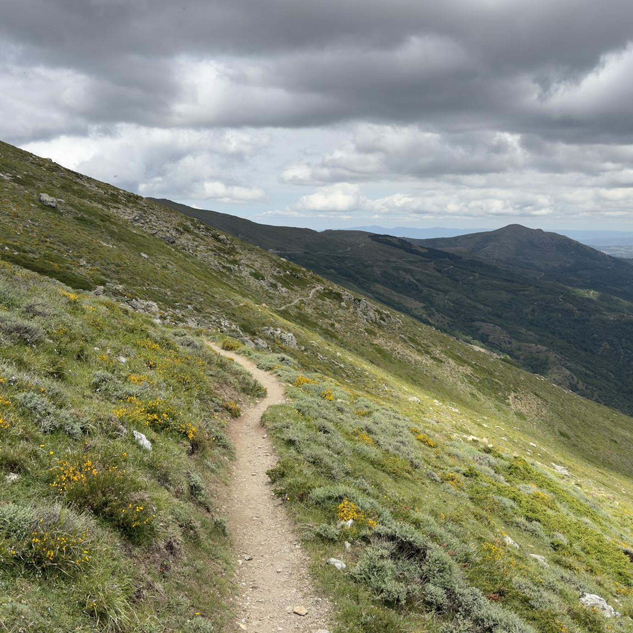
Imagine standing on the highest point in Sardinia, Punta La Marmora, and your gaze sweeps over the entire island. On a clear day you can even see the silhouettes of Corsica on the horizon. You can put this experience into practice by hiking to the summit of this 1,834 meter high elevation. Ideally, start your tour in the parking area at Rifugio Sa Crista or Rifugio S’Arena near Desulo. The route is not short at 15.5 kilometers, but it rewards you with an incredible variety of landscapes. Within a walking time of three and a half to four and a half hours, you will cross picturesque forests, pass flowering meadows and hike across impressive boulder and craggy terrain. Among other things, it goes over the summits of Bruncu Spina and Punta Paulinu. As you climb from Bruncu Spina towards Punta La Marmora, a huge summit cross might lead you astray. But don't be fooled, because the true summit is only reached when you reach the small rock pyramid that marks the top of La Marmora. The peak itself was named after the general and scientist Alberto Ferrero della Marmora, who described Sardinia in detail in his works. His love for the island will become clear to you at the summit when you enjoy the breathtaking view. You should be well prepared for this hike. This means: Sturdy hiking boots, enough water and sun protection should be in your luggage. If you need refreshment in between, you can stop off in the towns of Desulo or Fonni. The months from June to September are ideal for the tour. But Punta La Marmora is actually a year-round hiking destination for everyone who is looking for something special. Ready for this adventure? Then lace up your hiking boots and experience Sardinia at its best!
5
2

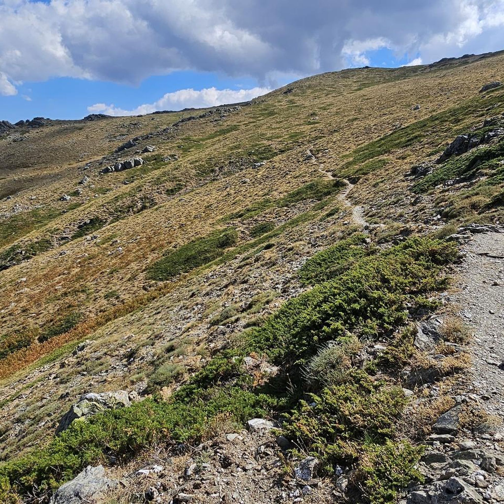
Climbing to Punta La Marmora from Bruncu Spina you first reach the pre-summit, which is misleading with its enormous summit cross. To reach the highest peak in Sardinia, you need to continue further south until you reach a small rock pyramid. This marks La Marmora's peak share of 1,833.
3
2
If you reach Punta Paulinu from Mount Bruncu Spina by walking on the high path, as you approach the rocky peak you can see on the left (towards the south-east) the famous rock formation called "Arcu Gennargentu", which is a set of three rocks that it forms a natural arch overlooking Mount Bruncu Spina on one side and the Sardinian panorama to the east.
2
2
Mount Bruncu Spina (Cardo peak), with its 1,829 meters above sea level, is the second peak in Sardinia. The summit can be easily reached from the car park at the foot of the chairlift, near the refuge of the same name (now closed). The climb is steep but short. It's worth the effort to enjoy the views from this grassy summit.
2
0
Frequently Asked Questions
What are some of the most highly-rated natural monuments to visit around Dèsulu/Desulo?
Visitors frequently praise the Summit of Punta La Marmora, Sardinia's highest peak, for its incredible panoramic views. Another favorite is Mount Bruncu Spina, the island's second-highest peak, offering equally stunning vistas. The Pirincanes Waterfall is also a popular spot for its refreshing natural beauty.
Are there family-friendly natural monuments or activities in the Dèsulu/Desulo area?
Yes, the Picnic area with a beautiful view is a family-friendly forest area with facilities, including a source of drinking water, making it a cozy spot for a break or camping. The area around Desulo, particularly the Gennargentu Massif, also offers many trails suitable for families, though some may require supervision.
What kind of natural features can I expect to see in the natural monuments around Dèsulu/Desulo?
The region is rich in diverse natural features. You'll encounter majestic summits like Punta La Marmora and Mount Bruncu Spina, offering expansive views. There are also refreshing waterfalls such as the Pirincanes Waterfall, pristine forests, and unique geological formations like Su Texile and Genna Eragas, a splendid rocky outcrop.
What is the best time of year to visit the natural monuments in Dèsulu/Desulo?
The months from June to September are generally ideal for hiking to summits like Punta La Marmora, offering clear skies and pleasant temperatures. However, the Gennargentu Massif is considered a year-round hiking destination, with its landscapes changing beautifully with the seasons. Autumn offers vibrant colors, while winter can provide unique snowy vistas for those prepared.
What outdoor activities can I do near the natural monuments in Dèsulu/Desulo?
The mountainous terrain around Dèsulu/Desulo is perfect for various outdoor activities. You can find numerous trails for mountain biking, road cycling, and running. For detailed routes and guides, explore the MTB Trails around Dèsulu/Desulo, Road Cycling Routes around Dèsulu/Desulo, and Running Trails around Dèsulu/Desulo.
Are there challenging hiking trails for experienced trekkers?
Absolutely. The hike to the Summit of Punta La Marmora is a challenging yet rewarding experience, traversing diverse landscapes including forests, meadows, and rocky terrain over approximately 15.5 kilometers. Many routes in the Gennargentu Massif are rated as difficult, providing a significant challenge for experienced hikers.
What are some notable geological features or formations in the area?
Beyond the high peaks, the region boasts unique geological formations. Su Texile is recognized as a distinctive natural monument, and Genna Eragas is a splendid rocky outcrop offering magnificent views. The entire Gennargentu Massif itself is a significant geological area, characterized by its ancient and varied landscapes.
Can I find sources of fresh drinking water along the trails?
Yes, there are natural springs available. For instance, the Spring in the Monti del Gennargentu is a known spot where you can fill your water bottle with wonderfully cool, clean spring water. The Picnic area with a beautiful view also has a source of drinking water.
What do visitors enjoy most about the natural monuments around Dèsulu/Desulo?
Visitors particularly enjoy the breathtaking panoramic views from the summits, the tranquility of the pristine forests, and the refreshing experience of natural spots like the Pirincanes Waterfall. The sense of accomplishment after a challenging hike and the opportunity to observe local wildlife, such as moufflons, are also highly valued.
Are there any specific viewpoints recommended for scenic photography?
Both the Summit of Punta La Marmora and Mount Bruncu Spina offer unparalleled panoramic views across Sardinia, and on clear days, even the silhouettes of Corsica. The Picnic area with a beautiful view also lives up to its name, providing a lovely setting for photos amidst the forest.
What should I wear for hiking in the natural monuments of Dèsulu/Desulo, especially in autumn?
For hiking in the Gennargentu Massif, especially during autumn, it's advisable to wear sturdy hiking boots for varied terrain. Layered clothing is recommended as temperatures can change, and waterproof outerwear is wise for potential rain. Sun protection, even in cooler months, is also important, particularly at higher altitudes.
Are there any natural monuments suitable for dog-friendly walks?
Many trails within the Gennargentu Massif are suitable for dog-friendly walks, allowing you and your canine companion to explore the pristine forests and varied landscapes. While specific designated dog-friendly natural monuments aren't highlighted, the general outdoor environment is welcoming for well-behaved dogs on leash.
Where can I find information about parking or public transport near the natural monuments?
For hikes to summits like Punta La Marmora, you can often find parking areas near refuges such as Rifugio Sa Crista or Rifugio S’Arena, which serve as common starting points. Public transport options directly to trailheads may be limited, so planning private transport or checking local bus schedules to nearby towns like Desulo or Fonni is recommended.
Most popular attractions around Dèsulu/Desulo

Get inspired with the komoot mobile app


Explore more
Extend your search for the best caves by checking out these guides of the top ones around Dèsulu/Desulo:
