Top 8 Natural Monuments around Roncade
Best natural monuments around Roncade are primarily centered around the Regional Natural Park of the Sile River. This expansive park features Italy's longest spring river, the Sile, known for its unique resurgences and rich biodiversity. The area offers a network of lakes, marshes, and diverse ecosystems, providing a tranquil environment for nature exploration. It encompasses significant natural and historical elements, making it a notable destination for outdoor activities.
Best natural monuments around Roncade
- The most popular natural monuments is Burci…
Last updated: October 1, 2026
Burci Boat Cemetery
Highlight • Historical Site
Translated by Google •
Tip by

Botteniga River
Highlight • River
Translated by Google •
Tip by

Sign up now to discover places like this
Get recommendations on the best single tracks, peaks, & plenty of other exciting outdoor places.
Old River Port of Noventa di Piave
Highlight • Historical Site
The origin of the river port …
Translated by Google •
Tip by

Source of the Meolo River
Highlight • River
Translated by Google •
Tip by
The Quaderno di Zaher Memorial, Mestre Woods
Highlight • Monument
Gardener, open the garden door;
I'm not a flower thief,
I myself turned pink,
I don't go looking
of any flower
These verses were found on a page …
Translated by Google •
Tip by

Sign up for free to discover even more natural monuments around Roncade.
Already have an account?
Start today with a free account
Your next adventure awaits.

Tips from the Community

Much water flows around the historic old town of Treviso
0
0

A former port site, lovingly transformed into a park, with historical images. A must-see, and not just for historians.
2
0

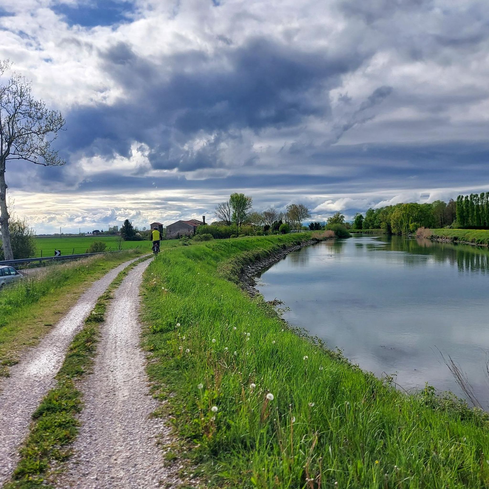
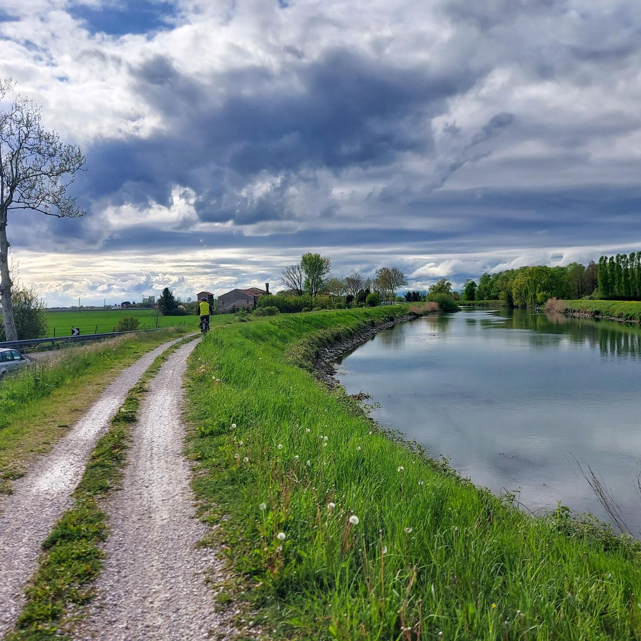
The Botteniga is a resurgence river in the Veneto-Friuli plain. It rises a few kilometers north of the city of Treviso (San Pelaio); shortly after it receives the waters of the La Cerca canal, the Pegorile and the Piavesella di Nervesa and then divides into several branches at the gates of the walls of Treviso, near the Ponte de Pria: • The Cagnan Grande or della Pescheria; • The Cagnan Medio or canale dei Buranelli (0.743 km); • The Cagnan della Roggia or Siletto (1.117 km); • The Convertite or Santa Sofia canal (0.882 km, mostly buried); • the canal that laps the outside of the walls on the eastern side (the western one has been buried). This system is actually part of a notable work of hydraulic engineering designed in the sixteenth century by Giovanni Giocondo for the defense of the walls. All the branches finally flow into the hydrographic left of the Sile river. The waters of the Botteniga also feed the spring from which the Cantarane canal flows (0.447 km, now mostly filled in).
0
0

The old name of the Meolo river is Pero. This is why, in these parts, river and place names blend together
0
0

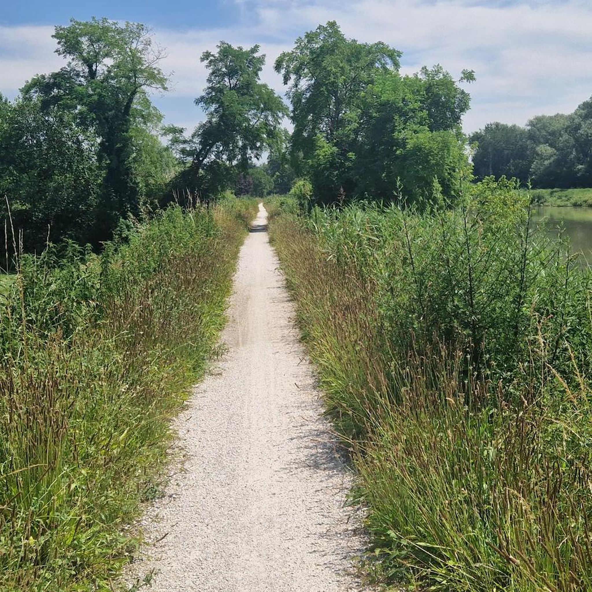
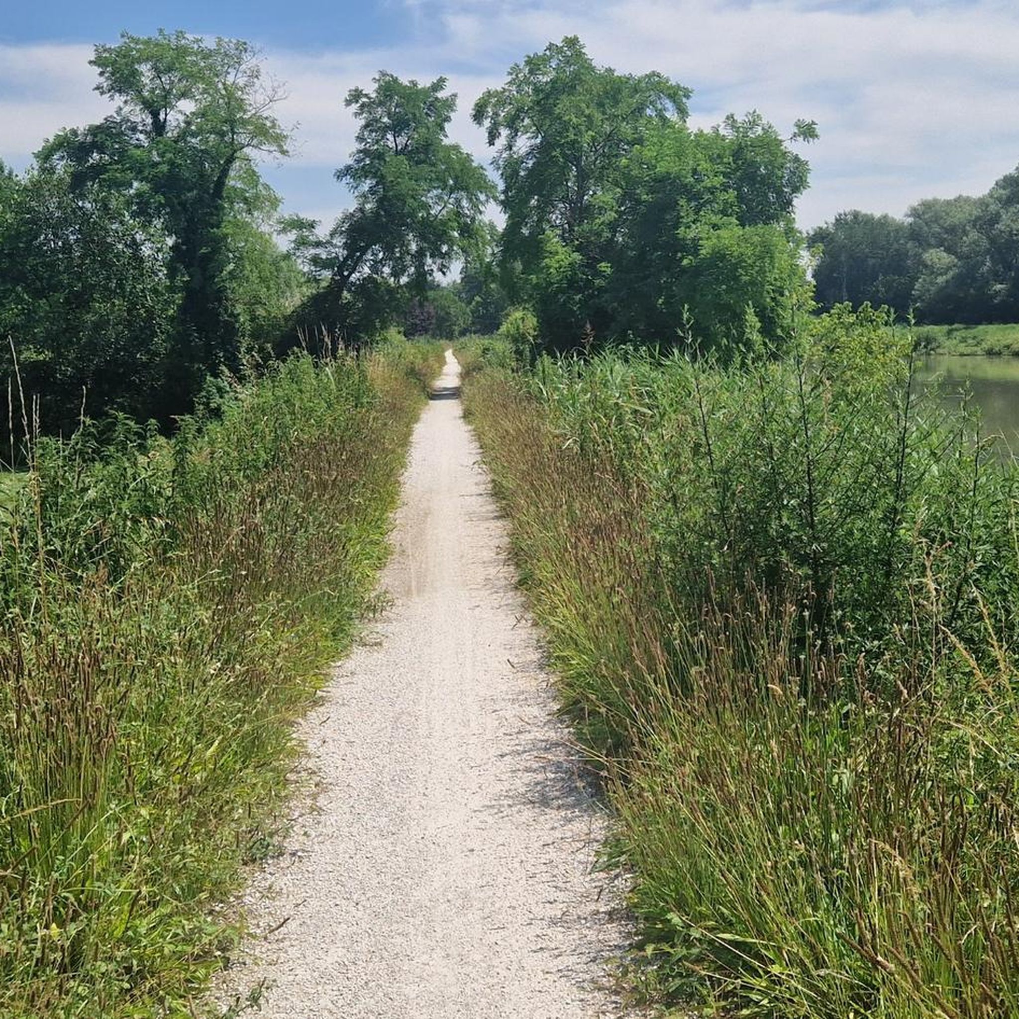
The sources of the Meolo river are about 200 m away. from the bridge, unfortunately it was not possible to approach them because they were fenced off. It originates east of Breda di Piave, in the Campagne area, and flows for about twenty kilometers in the provinces of Treviso and Venice, crossing, among others, San Biagio di Callalta and Monastery of Treviso. At the town of the same name, the river bifurcates: the new main axis, maintaining the name of the Meolo river, heads south and flows shortly afterwards into the Vallio; the historic course, called the Meolo flowway, moves towards the south-east and its waters flow partly into the Colatore Principale reclamation canal and partly, by means of a structure that bypasses the previous watercourse, into the Fossetta canal. This situation is the result of the reclamation that affected the Lower Piave and was completed in the 1930s. Along its course there are country residences built by Venetian families between the 15th and the 19th centuries as well as the former Abbey of Santa Maria di Pero
11
0
The park that stands at the ancient river port of Noventa di Piave can be reached from the city center through the embankment tunnel. The origin of the river port of Noventa dates back to the 10th century and is due to the will of Pietro Orseolo II (991-1009) Doge of the Serenissima. Thanks to his diplomatic skills, the doge managed to obtain a series of concessions on the Venetian mainland from the German emperor Otto III (980-1002). Among these in 996, the year in which the emperor went down to Italy to be crowned by the pope, he obtained the power to build a port and a market on the Piave, where Noventa now stands. The choice fell on this area because it was the terminal point of navigation on the Piave and was crossed by a road, the Calnova, which followed the path of an ancient Roman road linking the city of Altino and the territory of Opitergino (Oderzo). .
15
0

Between 1911 and the 1920s the area was used as a quarry, known locally as the Barina quarry[1], of which a pile of gravel still remains visible. Between the two world wars the area hosted a squero[2]. From the archaeological research carried out between 2014 and 2015[3], it emerged that between the years 1974-75, 13 burci, traditional transport boats, were abandoned on the site, of which three were with certainty (having archaeologists found the documents) of property of the shipowner Dante Bernardi. By comparing aerial photos of the time and photos from private collections, archaeologists have documented that before 1974-75 at least 8 wrecks were already present on the site. Between the late 1970s and mid-1980s, 4 shipwrecks disappeared from the site entirely. Research is continuing to determine further data on the wrecks present and the history of the site which takes its name from the burci, a class of flat-bottomed river transport boats, typical of the P
7
0
At the current state of archaeological research, nineteen wrecks of traditional transport boats have been recorded[4]. Among these, different types of traditional Venetian boats have been identified: 3 gabarres 5 burci 2 comacine 2 modified burci with mirror bow for excavation 3 batei 1 mouse 1 small boat 2 boats of unknown type Out of nineteen wrecks surveyed, the original documents of three boats were recovered, the oldest of which dates back to 1937. The documents found provided relevant data on the life of these boats and information on their owners. Only further archival investigations and technical/archaeological analyzes will be able to provide useful elements for dating the other wrecks present on the site.
5
0
Frequently Asked Questions
What natural features can I explore in the Roncade area?
The primary natural attraction is the Regional Natural Park of the Sile River, which features Italy's longest spring river. You can explore its unique resurgences (fontanassi), a network of tranquil lakes and marshes, and diverse ecosystems. Other notable natural waterways include the Botteniga River, known as an oasis of peace near Treviso, and the Source of the Meolo River.
Are there historical sites among the natural monuments near Roncade?
Yes, the area beautifully blends natural beauty with historical significance. A prominent example is the Burci Boat Cemetery, where you can see the remains of ancient wooden transport boats along the Sile River. Another is the Old River Port of Noventa di Piave, a historical site on the Piave River that once served as a bustling commercial hub and now offers a park with facilities.
What kind of wildlife can I expect to see in the natural areas around Roncade?
The Sile River Natural Park is a haven for biodiversity, especially birds. You can spot various aquatic birds like coots, little grebes, moorhens, and different duck species, including the rare tufted duck. Cormorants, mute swans, and gulls are also common. The park's unique ecosystem supports abundant aquatic plants, reed beds, and forest vegetation.
Are there good cycling opportunities near Roncade's natural monuments?
Absolutely. The Regional Natural Park of the Sile River features the 'GiraSile Cycle Path,' an extensive 90-kilometer cycle-pedestrian network. This ecological corridor runs through the entire park, offering excellent opportunities for 'slow' naturalistic cycling tourism. Parts of the route follow historical 'Restere' or 'Alzaia' banks, once used for towing boats.
What hiking trails are available near the natural monuments around Roncade?
The Sile River Natural Park offers numerous walking and hiking paths. For specific routes, you can explore options like the easy 'Parish Church of Roncade – Monument to the Fallen of Roncade loop' or the 'Sile Cycle Path – View of San Michele loop from Quarto d'Altino.' You can find more details and routes in the Hiking around Roncade guide.
Are the natural monuments around Roncade suitable for families?
Yes, many natural monuments and areas are family-friendly. The Sile River Natural Park provides tranquil environments for walks and picnics. Specific highlights like the Burci Boat Cemetery, the Botteniga River, and the Old River Port of Noventa di Piave are noted as suitable for families, offering easy access and interesting sights.
Where can I find unique geological formations or natural springs?
The most unique geological feature in the Roncade area is the 'fontanassi' or resurgences within the Sile River Natural Park. This is where the Sile River emerges from numerous springs, particularly between Casacorba and Torreselle, creating a dense network of lakes and marshes. The Source of the Meolo River is another example of natural springs in the region.
What is the best time of year to visit the natural monuments around Roncade?
The Sile River Natural Park offers beauty year-round. For birdwatching, autumn and winter are particularly significant as the park becomes a stopping point for migratory water birds. Spring and summer are ideal for cycling, walking, and enjoying the lush greenery and aquatic plants.
Can I combine a visit to natural monuments with other outdoor sports?
Absolutely. Beyond hiking and cycling, the Sile River is popular for canoeing, offering a unique perspective of the landscape. For more adventurous cycling, you can explore mountain biking and gravel biking routes. Check out the MTB Trails around Roncade and Gravel biking around Roncade guides for specific routes.
What is the significance of The Quaderno di Zaher Memorial, Mestre Woods?
The Quaderno di Zaher Memorial, Mestre Woods is a unique natural monument that combines a forest setting with a poignant historical memorial. It is dedicated to Zaher Rezai, a young Afghan refugee, and features a sculpture-installation that incorporates words and images from his notebook, offering a place for reflection amidst nature.
Is the Sile River Natural Park accessible for visitors?
Yes, the Sile River Natural Park is easily accessible from Roncade and surrounding municipalities. It features well-maintained pedestrian and cycle paths starting from various points, making it convenient for visitors to explore its natural beauty and historical elements.
Most popular routes around Roncade
Most popular attractions around Roncade

Get inspired with the komoot mobile app


Explore more
Extend your search for the best caves by checking out these guides of the top ones around Roncade:
