Top 4 Natural Monuments around Fontanelle
Best natural monuments around Fontanelle include a network of rivers and natural oases, offering diverse natural landscapes. The region is characterized by its waterways, such as the Meolo, Lia, Monticano, and Grassaga rivers, which contribute to its unique natural heritage. These areas provide opportunities to explore river sources, confluences, and floodplain ecosystems. The natural monuments in Fontanelle are primarily focused on its rich hydrological features and riparian environments.
Best natural monuments around Fontanelle
- The most popular natural monuments is Source…
Last updated: July 12, 2026
Source of the Meolo River
Highlight • River
Translated by Google •
Tip by

Prà dei Gai
Highlight • Natural
Translated by Google •
Tip by

Sign up now to discover places like this
Get recommendations on the best single tracks, peaks, & plenty of other exciting outdoor places.
Sign up for free
Confluence of the Lia and Monticano Rivers
Highlight • River
Translated by Google •
Tip by

Codibugnolo Nature Oasis
Highlight (Segment) • Forest
Translated by Google •
Tip by
Sources of the Grassaga River
Highlight • River
Translated by Google •
Tip by
Sign up for free to discover even more natural monuments around Fontanelle.
Sign up for free
Already have an account?
Start today with a free account
Your next adventure awaits.
Login or Signup

Tips from the Community

The Grassaga, a canal of the Lower Piave, "is born" near Roncadelle: the spring water seems to come out of this pipe that connects it to the Bidoggia canal, which in this photo is beyond the houses and the road that runs alongside it: via Bidoggia di Roncadelle, in fact, which then becomes via Postumia di Faè.
0
0

Gravel segment that from Salettuol crosses the Codibugnolo Naturalistic Oasis, a floodplain area of 24 hectares located along the course of the Piave in the central stretch of the river between the municipalities of Spresiano and Ponte di Piave. The oasis, due to its particular geomorphological conformation and the biological varieties present, offers an ideal educational reservoir, which is why the Piavenire Naturalistic Route was born, conceived by the local Legambiente section to demonstrate, with maximum evidence, the richness natural that still finds refuge in the remnants of riparian forest. Once the route is reversed, you take the Strada delle Grentine towards Spresiano.
0
0

The old name of the Meolo river is Pero. This is why, in these parts, river and place names blend together
0
0
Sources of the Grassaga river near the SP 7 in the Roncadelle hamlet in the municipality of Ormelle in the province of Treviso.
11
0
The sources of the Meolo river are about 200 m away. from the bridge, unfortunately it was not possible to approach them because they were fenced off. It originates east of Breda di Piave, in the Campagne area, and flows for about twenty kilometers in the provinces of Treviso and Venice, crossing, among others, San Biagio di Callalta and Monastery of Treviso. At the town of the same name, the river bifurcates: the new main axis, maintaining the name of the Meolo river, heads south and flows shortly afterwards into the Vallio; the historic course, called the Meolo flowway, moves towards the south-east and its waters flow partly into the Colatore Principale reclamation canal and partly, by means of a structure that bypasses the previous watercourse, into the Fossetta canal. This situation is the result of the reclamation that affected the Lower Piave and was completed in the 1930s. Along its course there are country residences built by Venetian families between the 15th and the 19th centuries as well as the former Abbey of Santa Maria di Pero
11
0
The Lia river ends here: it delivers its waters to the Monticano and in turn leaves them to the Livenza to reach the sea. The Lia is an ancient river that marks the territory. Born in what is now the Gambrinus park (that of the shrimp of this river), you can cross it under the bridge of the Church of the Templars of Ormelle and you can hardly follow its meanders in Colfrancui. Here you can greet its waters and its millenary memory of this territory
0
0
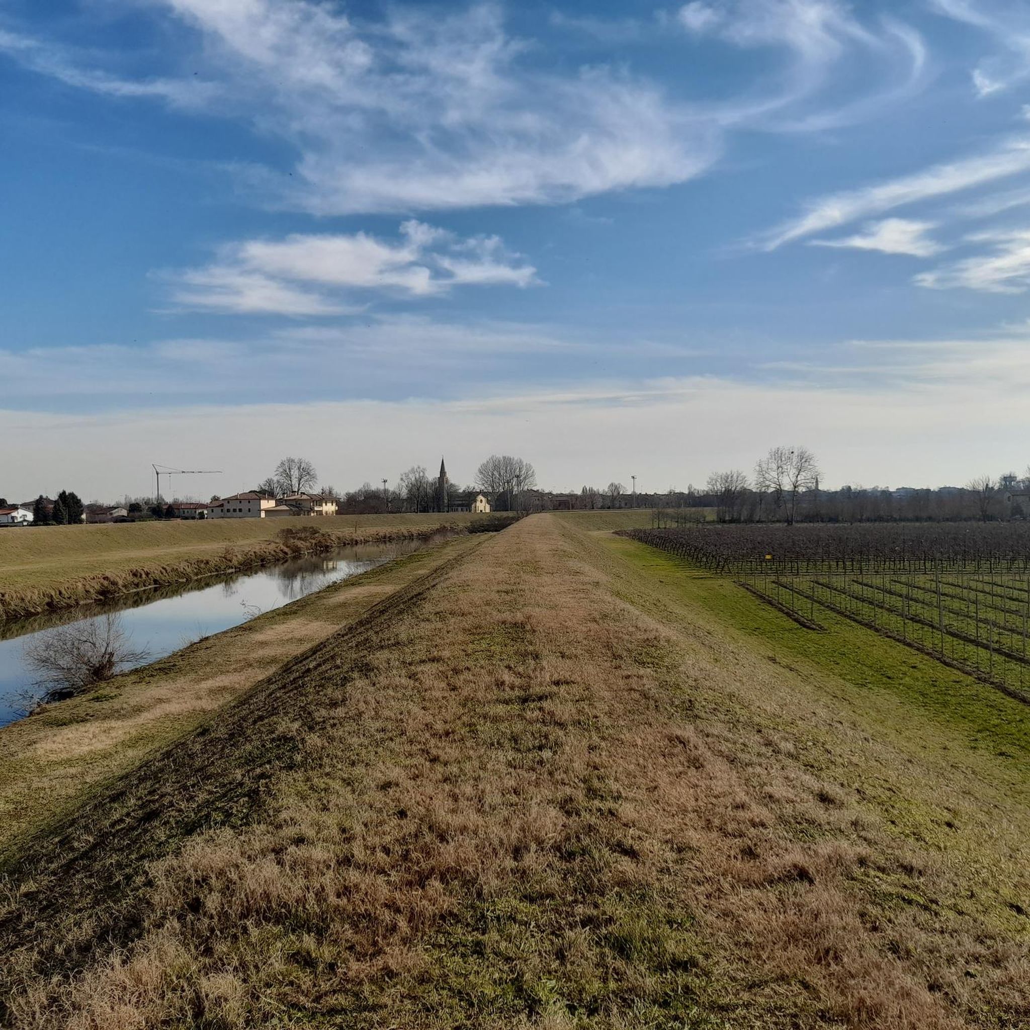
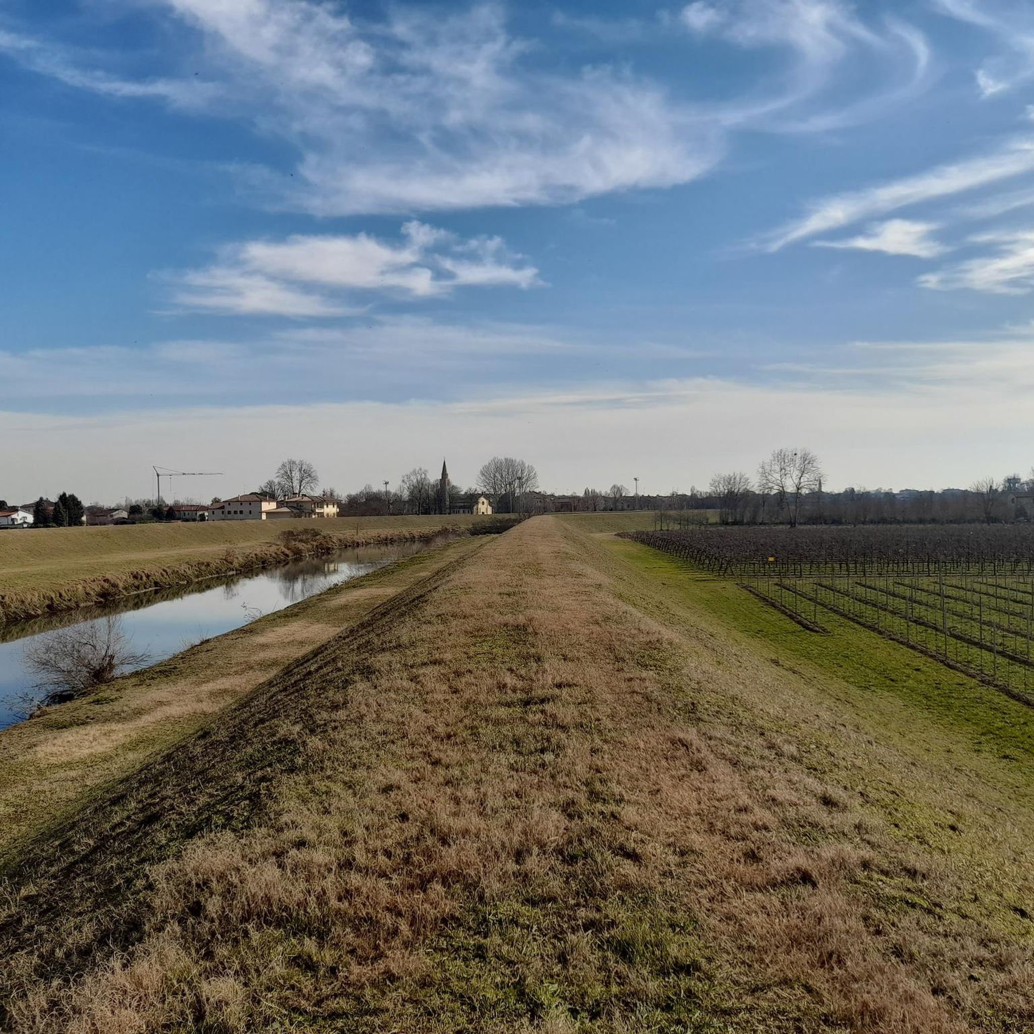
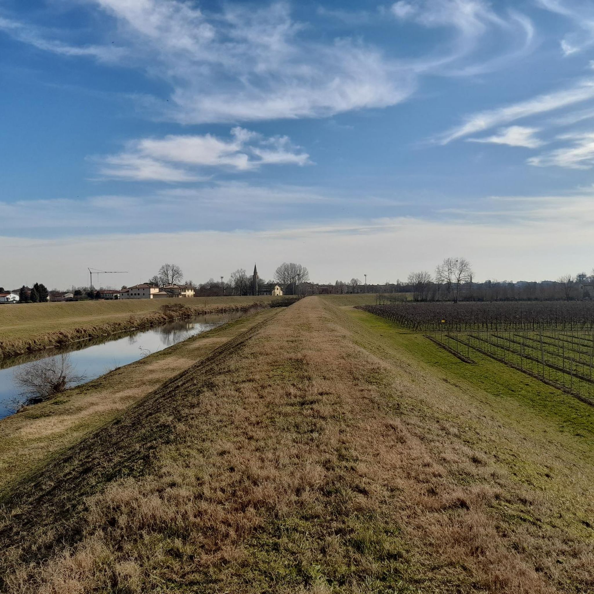
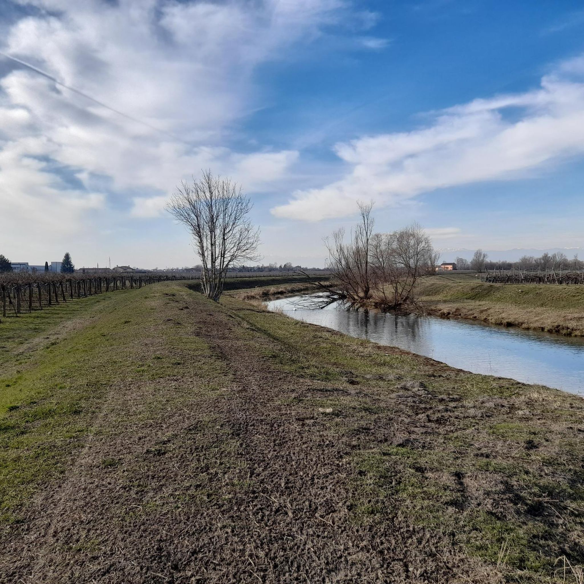
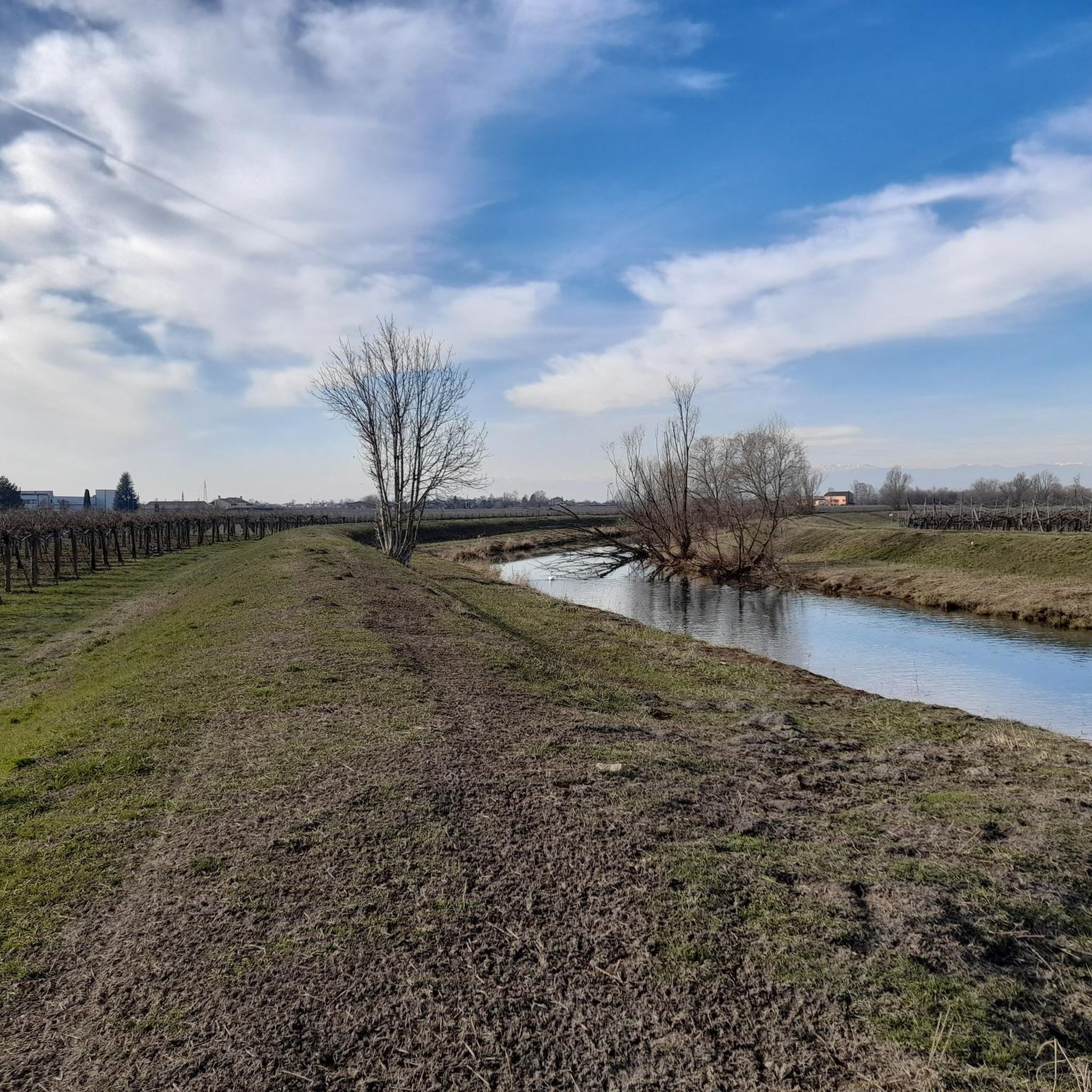
The Grassaga, the Basso Piave canal, "was born" near Roncadelle: the spring water seems to come out of this pipe that connects it to the Bidoggia canal, which in this photo is beyond the houses and the road that flanks it: via Bidoggia di Roncadelle, in fact, which then becomes via Postumia di Faè. Leave via Bidoggia, walk along a short stone road and you will find the canal between two embankments without a path, but beaten by tractors: it is better to start from the one on the left. As you can see from the second photo, the small watercourse swells slowly and can be traveled along the banks, at least as far as the industrial area of Ponte di Piave-Levada. Here the routes are interrupted by the railway, the industrial area and the Postioma and, to find them, you have to arrive in via Chiodo in the Candolè area. From here, taking the embankment path again, you can continue to Campo di Pietra and from here, on the asphalt of via Santa Chiara, you reach Grassaga (shortly after it joins the Bidoggia canal) and then towards Fossà and Cittanova, where the Grassaga finally becomes the Brian channel. From here, you can continue almost to the sea.
2
0
An extraordinary natural floodplain spread over six hundred hectares of stable lawn. Considering their naturalistic and faunal value, the Prà dei Gai have been declared a protected area by the European Community and included in the territorial development project of the LAG 5. In the past decades, the Prà lands were municipal and at the dawn of spring, with a public auction, the local farmers won small plots for grazing and harvesting hay.
3
0
Frequently Asked Questions
What are the most prominent natural monuments to visit around Fontanelle?
The Fontanelle area is rich in hydrological features. Key natural monuments include the Source of the Meolo River, the Confluence of the Lia and Monticano Rivers, and the Codibugnolo Nature Oasis. These sites offer diverse natural landscapes, from river origins to floodplain ecosystems.
Are there family-friendly natural attractions in Fontanelle?
Yes, several natural monuments around Fontanelle are suitable for families. The Source of the Meolo River, the Confluence of the Lia and Monticano Rivers, and the Codibugnolo Nature Oasis are all categorized as family-friendly. These locations provide accessible natural environments for all ages to enjoy.
What unique natural features can I expect to see in the Fontanelle region?
The Fontanelle region is characterized by its extensive network of rivers and natural oases. You can explore the origins of rivers like the Meolo and Grassaga, witness the meeting point of the Lia and Monticano rivers, and discover the rich biodiversity of the Codibugnolo Nature Oasis, a significant floodplain area along the Piave river.
Are there any historical or cultural sites near the natural monuments?
Yes, the region offers a blend of natural and historical interest. Along the course of the Meolo River, you can observe country residences built between the 15th and 19th centuries. Additionally, the Chapel of Santa Maria della Fontanella is a historical religious building, originally known as 'Santa Maria del Palù' due to the area's watery nature, and is considered a natural monument itself.
What outdoor activities can I do near the natural monuments in Fontanelle?
The area around Fontanelle is excellent for various outdoor activities. You can enjoy running on trails like the 'Ponte di Fratta – Piazza Grande, Oderzo loop' or 'Running loop from Codognè'. Road cycling routes, such as the 'Oderzo – Monticano River in Lutrano loop', are also popular. For gravel biking, consider the 'Piave River Route – Old Ruin Near Cimadolmo loop'. You can find more details on these activities in the Running Trails around Fontanelle, Road Cycling Routes around Fontanelle, and Gravel biking around Fontanelle guides.
Are there hiking opportunities around the natural monuments?
While specific hiking trails directly within the natural monuments are not detailed, the Codibugnolo Nature Oasis features a trail, the Piavenire Naturalistic Route, which is ideal for exploring its floodplain environment. The banks of rivers like the Grassaga also offer paths for walking, though some sections might be less developed.
What do visitors particularly enjoy about the natural monuments in Fontanelle?
Visitors appreciate the serene and natural beauty of the river sources and confluences. The opportunity to observe the historical significance of these waterways, which have shaped the territory for centuries, is also a highlight. The Codibugnolo Nature Oasis is valued for its educational potential and rich biological diversity.
Is there parking available near the natural monuments?
Specific parking information for each natural monument is not provided, but generally, areas around natural attractions in rural settings like Fontanelle often have informal parking spots or small designated areas. It's advisable to check local signage upon arrival.
Can I visit the natural monuments during winter?
While the natural monuments are accessible year-round, the experience may vary with the seasons. Winter might offer a different, quieter perspective of the rivers and forests. However, some paths, especially along riverbanks or within oases, might be muddy or less accessible depending on weather conditions. Always check local forecasts and conditions before visiting.
Are there any less crowded natural monuments for a peaceful visit?
The natural monuments around Fontanelle, being focused on river sources and oases, generally offer a peaceful experience away from large crowds. The Sources of the Grassaga River, for instance, are located near a hamlet and might offer a particularly tranquil setting for exploration along its banks.
What should I wear when visiting the natural monuments?
For exploring the natural monuments, especially along riverbanks or within nature oases, comfortable walking shoes are recommended. Depending on the season, layers of clothing are advisable, and rain gear might be useful. If you plan to walk along less developed paths, sturdy footwear is essential.
Most popular routes around Fontanelle
Most popular attractions around Fontanelle

Get inspired with the komoot mobile app


Explore more
Extend your search for the best caves by checking out these guides of the top ones around Fontanelle:
