Top 18 Natural Monuments around Lo-Reninge
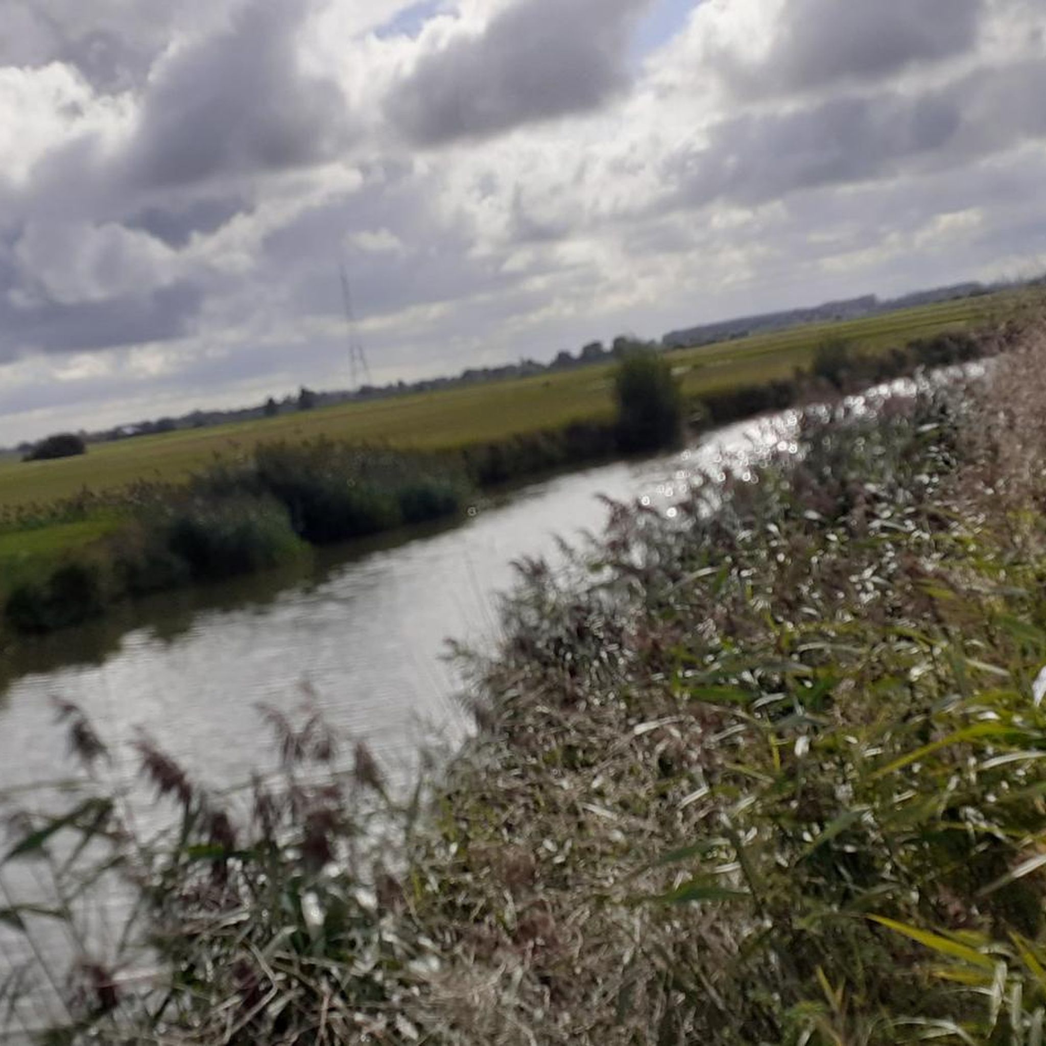
Best natural monuments around Lo-Reninge are found within a tranquil landscape characterized by its polder environment, historic waterways, and diverse nature areas. The region's natural beauty is defined by the Yser and Lovaart rivers, which crisscross the area, and the expansive IJzerbroeken marshes. These features offer a serene setting for outdoor activities and provide habitats for local flora and fauna. The area presents a unique blend of natural and historical significance, making it suitable for peaceful walks and cycling routes.
…Last updated: June 28, 2026
The Blankaart Observation Tower
Highlight • Viewpoint
Translated by Google •
Tip by

Zillebeke Pond
Highlight • Lake
Translated by Google •
Tip by

Sign up now to discover places like this
Get recommendations on the best single tracks, peaks, & plenty of other exciting outdoor places.
Sign up for free
Viconia Clay Pits
Highlight • Lake
The area …
Translated by Google •
Tip by

The Gallows Woods
Highlight • Forest
During the First World War, the woods, unlike other forest areas, were spared because they formed a …
Translated by Google •
Tip by

West Gate
Highlight • Monument
Translated by Google •
Tip by
Sign up for free to discover even more natural monuments around Lo-Reninge.
Sign up for free
Already have an account?
Start today with a free account
Your next adventure awaits.
Login or Signup

Tips from the Community

the place is worth looking around, the tower is an awkward thing and disturbing in the nature experience.
0
0

Experience the Viconia Clay Pits. A walking loop introduces you to the ponds and the observation tower.
0
1

The Caesarsboom is an old yew tree (also known as poison tree) in the town of Lo in the Belgian Westhoek region. The tree is one of Lo's typical symbols and is located next to the medieval Westpoort gate. The name refers to a legend about Julius Caesar, who is said to have taken a nap under the tree in 55 BC on his way to Britain and tied his horse to it. The story goes back to the historian Jean-Baptiste Gramaye, who was the first to allow Caesar to pass through Lo in 1612. In reality, the Caesarsboom is approximately 250 years old. A painting from the late 18th century depicts its predecessor in full maturity. https://nl.wikipedia.org/wiki/Caesarsboom
2
0


An interesting anecdote concerns the battles around the pond during the war. Soldiers used the pond as a natural barrier and shelter. There are stories of soldiers wading through the water at night to reach enemy lines, which gave the pond strategic significance.
7
0

There are a total of four lookout towers in the Blankaart. This one here is the highest: 10m. It overlooks the reed marshes and the wet hay fields. The inspiration for the design of the viewpoints comes from the reed marshes. Just as the bittern blends with its tall figure into the reeds, the towers blend into the open space of the Blankaart, while at the same time they are beacons in the landscape. The rising walls with sloping elements, openings and green plexiglass refer to the reed collars in which birds can hide and which still have a certain transparency. Source: https://pers.vlm.be/nieuwe-uitkijktorens-in-natuurgebied-de-blankaart
4
1

From this lookout tower you have a beautiful view of the De Blankaart nature reserve. When the weather is clear you can enjoy beautiful panoramas. Certainly do!
16
0
A forest where, until the 1700s, gallows literally stood ready for the convicts. During the First World War, the woods, unlike other forest areas, were spared because they formed a resting area for British soldiers. There was a barrack where Anglican worship services were held, and there was a cinema room. A nearby farm, the present Hospitaalhoeve, served as a hospital. The Plank Road led to the center of Vlamertinge and the soldiers went to the front along this road. At the edge of the forest is the Hagle Dump Cemetery. The British gave it the name “Dirty Bucket Camp” referring to the inn de Vuile Seule ("seule" is West Flemish for bucket).
3
0
Frequently Asked Questions
What are the defining natural features of the Lo-Reninge region?
The natural landscape around Lo-Reninge is characterized by its tranquil polder environment, historic waterways, and diverse nature areas. Key features include the Yser and Lovaart rivers, which crisscross the area, and the expansive IJzerbroeken marshes. These elements create a serene setting for outdoor activities and provide habitats for local flora and fauna.
Which natural monuments are highly recommended by the komoot community?
Visitors particularly appreciate The Blankaart Observation Tower, which offers extensive panoramas over the De Blankaart nature reserve, complete with boardwalks and bird watching huts. Another favorite is Viconia Clay Pits, a nature reserve with lakes formed from clay extraction, featuring hiking trails, bird hides, and a lookout tower. Zillebeke Pond, a historic 28-hectare lake, is also a valuable nature reserve popular for walking, cycling, and fishing.
Are there good walking or hiking routes to explore the natural monuments?
Yes, Lo-Reninge is ideal for peaceful walks and cycling routes. Many routes highlight the region's natural beauty along the Lovaart and Yser rivers. For specific outdoor activities, you can find various MTB Trails and Cycling routes around Lo-Reninge that pass by these natural areas.
What kind of terrain can I expect on walks around Lo-Reninge's natural areas?
The terrain around Lo-Reninge is generally flat, characterized by tranquil polder landscapes, water-rich areas, and marshes. You can expect paths along rivers, through wetlands, and possibly some forested sections, making it suitable for easy to moderate walks and cycling.
Where can I find the best viewpoints to observe nature in Lo-Reninge?
Excellent viewpoints include The Blankaart Observation Tower, offering panoramic views over the De Blankaart nature reserve. The Viconia Clay Pits also feature a lookout tower providing views over its shallow lakes and diverse wetlands.
What is the best time of year to visit the natural monuments in Lo-Reninge?
The region's water-rich landscapes and bird-watching opportunities suggest that spring and autumn are particularly good times to visit, when migratory birds are active and the weather is generally mild for outdoor activities. Summer also offers pleasant conditions for walking and cycling, while winter can provide a unique, serene atmosphere, especially in the marshes.
Are there family-friendly natural monuments suitable for children?
Yes, several natural monuments are considered family-friendly. The Blankaart Observation Tower and its surrounding nature reserve offer boardwalks and bird watching huts that can be engaging for children. Viconia Clay Pits also provide trails and a lookout tower. Additionally, Zillebeke Pond is suitable for family walks and cycling.
Are there any historical natural features in the area?
Lo-Reninge boasts a unique blend of natural and historical significance. A notable historical natural feature is **Caesar's Tree** (Caesar's Boom), an ancient yew tree in the town of Lo. Local tradition suggests Julius Caesar once tied his horse to this tree, adding a touch of historical intrigue to its natural presence. The West Gate, a medieval city gate, stands next to this ancient yew tree.
What kind of wildlife can be observed in the natural areas?
The water-rich environment of Lo-Reninge, particularly in areas like the De Blankaart nature reserve and IJzerbroeken marshes, is a haven for various bird species, including spoonbills and bitterns. The wetlands and ponds, such as Zillebeke Pond, are home to grebes, herons, and ducks. The Gallows Woods are known for 150 different types of plants and 24 types of butterflies, with a chance to spot deer, foxes, or martens.
Are there any specific natural areas known for their biodiversity?
The **IJzerbroeken (Yser Marshes)** are a significant natural area in Lo-Reninge, forming a unique water-rich landscape between the polders and the inland sandy-loam region, known for its diverse flora and fauna. The De Blankaart nature reserve, accessible from The Blankaart Observation Tower, is also a prime example of a biodiverse wetland area.
Can I find any unique geological features in Lo-Reninge?
While Lo-Reninge is primarily known for its polder landscapes and waterways, the Viconia Clay Pits represent a unique man-made geological feature. These six shallow clay pits, created by clay extraction between 1945 and 1979, have since transformed into diverse wetlands, showcasing how human activity can shape the landscape into new natural habitats.
What are some lesser-known natural gems in the Lo-Reninge area?
Beyond the more popular spots, the tranquil polder landscapes themselves, crisscrossed by the Yser and Lovaart rivers, offer many hidden corners for peaceful exploration. The Gallows Woods, despite its historical name, is a beautiful forest known for its diverse plant life and butterflies, offering a quiet escape.
Most popular routes around Lo-Reninge
Most popular attractions around Lo-Reninge

Get inspired with the komoot mobile app


Explore more
Extend your search for the best caves by checking out these guides of the top ones around Lo-Reninge:
