Top 20 Natural Monuments around Tintigny
Best natural monuments around Tintigny include a variety of geological formations, serene lakes, and forested areas in the Belgian province of Luxembourg. The region offers diverse natural features, from ancient cave systems to artificial lakes designed for recreation. These sites provide opportunities for exploring unique landscapes and engaging in outdoor activities. The natural monuments in this area are characterized by their geological significance and preserved natural environments.
Best natural monuments around Tintigny
- The most popular natural monument is Lake Neufchâteau, a large artificial lake that offers a variety of water and land-based activities. A path allows for a complete tour of the lake, making it suitable for walking, fishing, kayaking, and other leisure pursuits.
- Another must-see spot is Cron de Montauban, a natural monument featuring petrifying limestone springs. Visitors can expect to see a steeply sloping clearing with crystal clear water rivulets and remarkably contrasting vegetation.
- Visitors also love Fairies' Cave, a natural sandstone cave system carved by erosion during the Jurassic era. This site is notable for its heavily eroded and perforated cavities, offering a glimpse into prehistoric geological formations.
- Tintigny is known for its diverse natural features, including ancient geological formations, serene lakes, and dense forests. The region offers a variety of natural monuments to see and explore, from caves and waterfalls to historical sites within natural settings.
- The natural monuments around Tintigny are appreciated by the komoot community, with over 230 upvotes and 95 photos shared.
Last updated: June 28, 2026
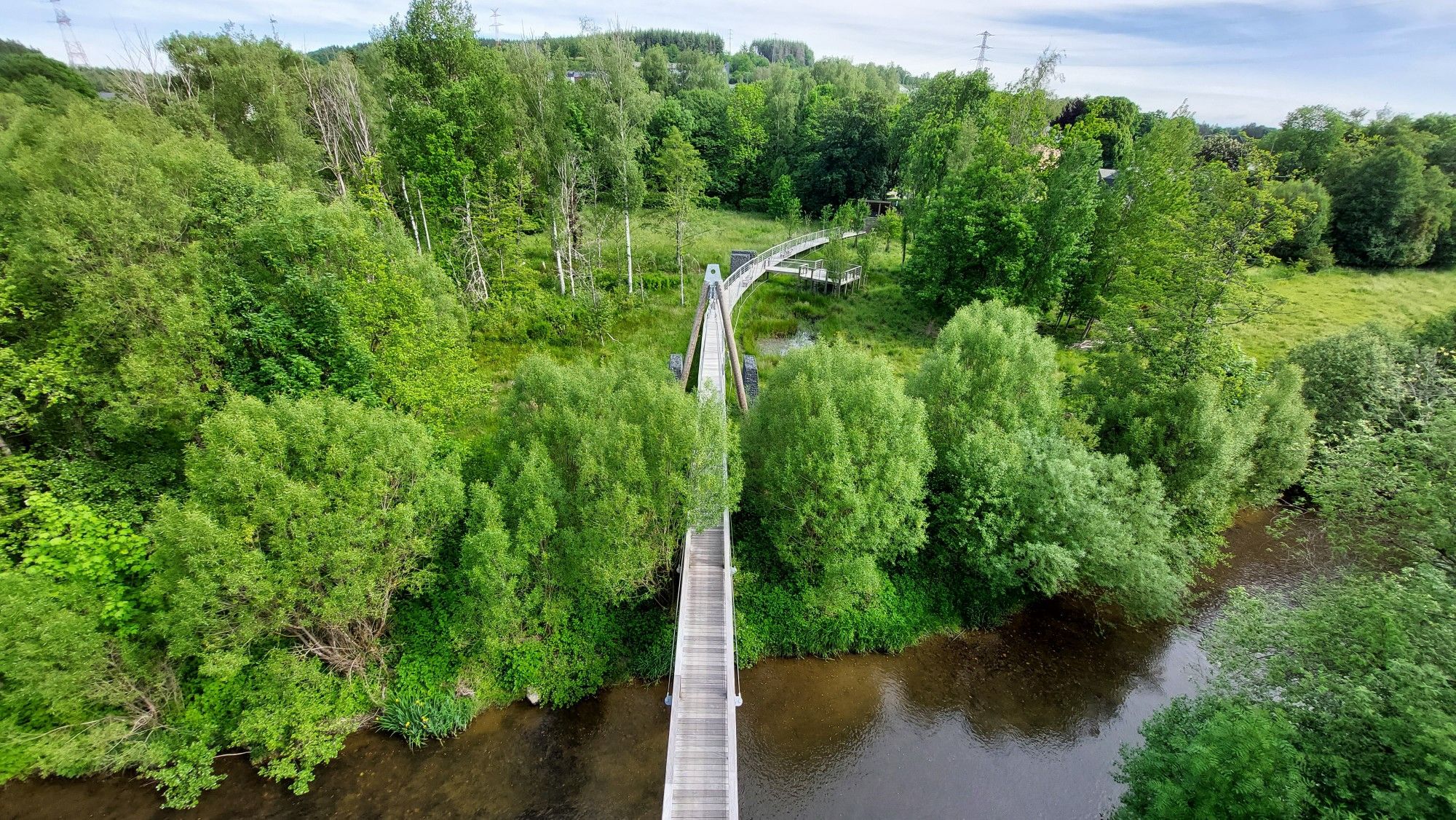
Epioux Ponds
Highlight • Lake
Translated by Google •
Tip by

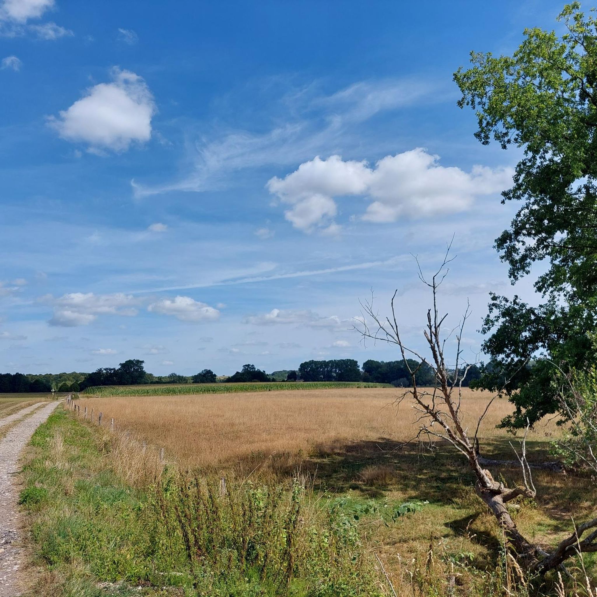
Lake Neufchâteau
Highlight • Lake
Translated by Google •
Tip by

Sign up now to discover places like this
Get recommendations on the best single tracks, peaks, & plenty of other exciting outdoor places.
Sign up for free
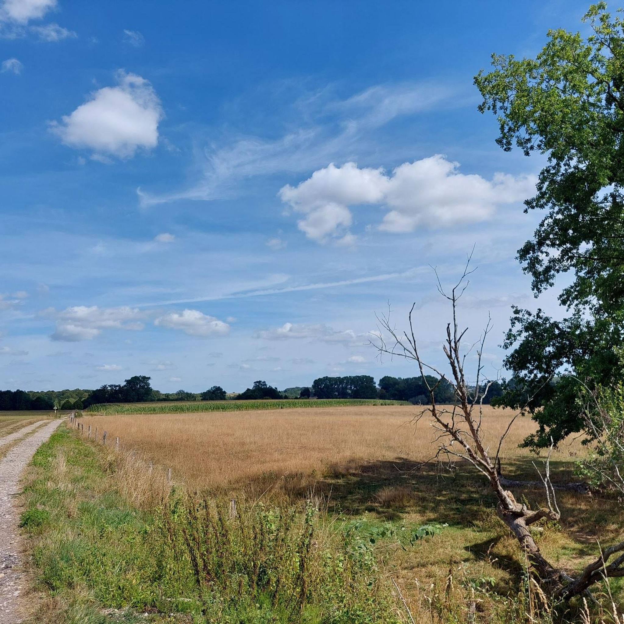
Fairies' Cave
Highlight • Cave
Translated by Google •
Tip by

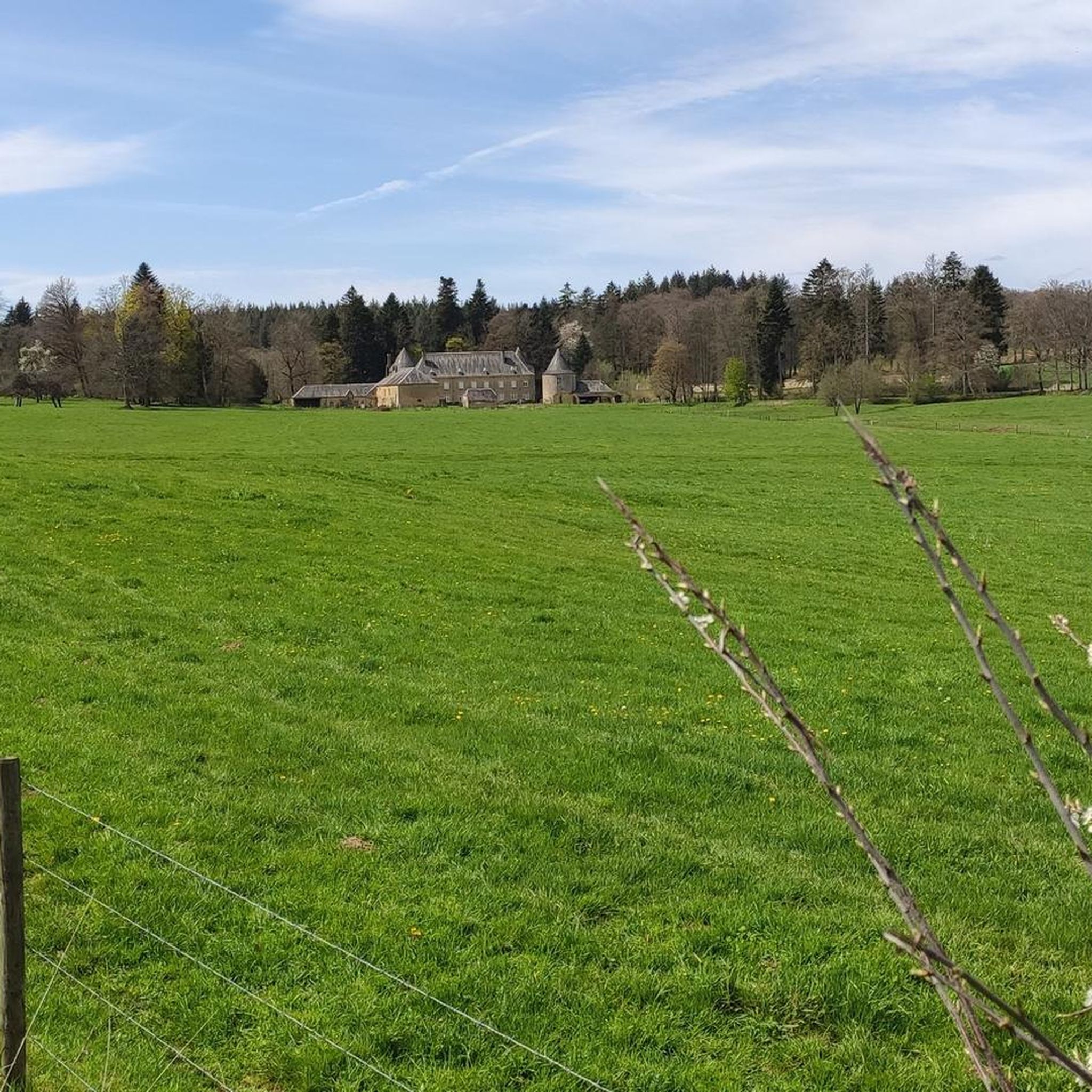
Cron de Montauban
Highlight • Natural Monument
Translated by Google •
Tip by

Tranchée des Portes Oppidum
Highlight • Historical Site
Translated by Google •
Tip by

Sign up for free to discover even more natural monuments around Tintigny.
Sign up for free
Already have an account?
Start today with a free account
Your next adventure awaits.
Login or Signup

Other adventures around Tintigny

Tips from the Community


The Trench of Gates: Gateway to Gaume, Gateway to Legends 1. What is it? Physical Description The Trench of Gates is a deep and spectacular rocky gorge, naturally carved by the Vire River (a tributary of the Semois) into the sandstone plateau of the Gaume forest. Located in the village of Dampicourt (commune of Rouvroy), on the French border, it forms a narrow and winding notch, framed by high sandstone walls and strangely shaped rocks. Its name comes from its topography: the site gives the impression of crossing several successive natural "gates." 2. A Strategic Position: Military History The true fame of the Trench of Gates comes from its historical role as a natural fortress and strategic border post. A Gallic Stronghold? : Its easily defensible configuration suggests that it was used as a refuge since the Gallic era. The Roman Fort: Its strategic role became evident during the Roman era. The Romans established a castellum (a fortified camp) there to control the passage between Belgic Gaul and Imperial Trier, and to protect the nearby Roman road. Remains of these fortifications were still visible several centuries ago. A Millennial Challenge: Due to its position on the border, the site has been contested and fortified throughout history, from the Middle Ages to modern wars. It offered an ideal control point over one of the few passable passages through the region's wooded terrain.
1
0

It is between Etalle and Virton, very precisely in Croix-Rouge, that you will find the place called "Trou des Fées". Well known to the inhabitants of the region, this unique site is at the center of many legends relating to the history of D’jean dMady but also and especially to that of the fairies of Gaume.
1
0
The Tranchée des Portes covers an area of 100 hectares. It is the largest Iron Age stronghold in Belgium. This development required an abundant workforce. The construction and maintenance of the rampart suggest a well-organized social entity. Unlike Montauban, which was occupied occasionally, the Tranchée des Portes is not a refuge but an oppidum, that is to say, a fortified site where people settled for the long term with their livestock and crops. It is a fortification that owes its name to the deep ditch (5 m) that precedes its rampart. Consisting of an earthwork over 3 m high, formerly surmounted by a palisade, this barrier, pierced by 3 gates, extends over 1 km. This type of defensive site is called a barred spur. It was often used in the protohistoric period (Iron Age). We chose a place with 2 or 3 steep and almost impassable sides and we blocked access by building a wall on the vulnerable side with what we found on the site (stones, trees, earth)
2
0
Unmissable for the Red Cross: Dive into an enchanted kingdom where legends and mysteries weave the fabric of the landscape… This mountain of sand, like a sleeping giant, reveals its heart of stone sculpted by the whims of time. At the dawn of the Jurassic, erosion gently carved out winding galleries, while the main gallery, 15 meters long, arouses a curious fascination. Was it an offering from the ancients, shaped by human hands, or simply the patient work of nature? The flints found nearby whisper echoes of prehistory, silent witnesses of a bygone era. The Trou des Fées, guardian of forgotten secrets, awaits you.
1
1

The largest Iron Age stronghold in Belgium, covering an area of 100 hectares, is to be discovered in EtalleUnlike Montauban, which was occupied occasionally, the Tranchée des Portes was not a refuge but an oppidum, i.e. a fortified site where people settled for the long term with their livestock and crops. It is a fortification that owes its name to the deep ditch (5m) that precedes its rampart. Consisting of an earthwork of more than 3m formerly topped with a palisade, this dam, pierced by three gates, extends over more than 1km. This type of defense site is called a barred spur. It was often used in the protohistoric period (Iron Age).
1
0

Beautiful nature reserve, enjoyed the beautiful surroundings here.
0
0
Beautiful place! In the summer months you can rent a donut-shaped boat with a parasol. In the middle of the boat you can bbq on the water 🤩
0
0
Frequently Asked Questions
What types of natural features can I expect to see around Tintigny?
The region around Tintigny offers a diverse range of natural features. You can explore ancient geological formations like the Fairies' Cave, which is a natural sandstone cave system. There are also serene artificial lakes such as Lake Neufchâteau, and unique geological sites like Cron de Montauban, known for its petrifying limestone springs and contrasting vegetation. Dense forests and various water features are also prominent.
Are there family-friendly natural monuments around Tintigny?
Yes, several natural monuments are suitable for families. Lake Neufchâteau is a superb leisure center with activities like walking, pedal boating, and a playground. The Fairies' Cave area features a 'Fairy Trail' (Sentier des Fées) with interactive challenges and didactic panels, making it engaging for children. The Arboretum de Bellefontaine also offers an educational and peaceful experience, considered a safe discovery area for kids.
What outdoor activities can I do near the natural monuments around Tintigny?
The area around Tintigny's natural monuments is excellent for outdoor activities. You can enjoy hiking, cycling, and mountain biking. For hiking, explore routes like 'The Druids' Trail – Seigneurie de Villemont loop' or 'Gros Cron – Gros Cron Stream loop'. Cycling enthusiasts can try 'La Rulles Riverside – La Trapperie loop'. Mountain biking options include 'Gros Cron Stream loop' or 'Notre-Dame du Bonlieu Chapel – Fairies' Cave loop'. You can find more details on these activities in the hiking guide, cycling guide, and MTB guide for Tintigny.
What makes the <a href="https://www.komoot.com/highlight/748190" target="_blank" rel="noopener">Fairies' Cave</a> unique?
The Fairies' Cave is a natural sandstone cave system carved by erosion during the Jurassic era. Its heavily eroded and perforated cavities offer a glimpse into prehistoric geological formations. The site is also rich in local legends about fairies and features a 'Fairy Trail' nearby, making it an interactive and mythical experience for visitors.
What can I do at <a href="https://www.komoot.com/highlight/3826881" target="_blank" rel="noopener">Lake Neufchâteau</a>?
Lake Neufchâteau offers a wide array of water and land-based activities. You can walk around the entire lake on a dedicated path, go fishing, kayaking, or pedal boating. The leisure center also provides beach volleyball, health trails, minigolf, a playground, and courts for tennis, pétanque, and basketball. Barbecue areas are available for meals. For more information, you can visit the La Vallée du Lac leisure center website.
Are there any historical natural monuments in the Tintigny area?
Yes, the region combines natural beauty with historical significance. The Tranchée des Portes Oppidum is an ancient fortified site dating from the Neolithic period, later occupied by Celts and Romans. It features remains of an earthen rampart and ditch, making it the largest Iron Age stronghold in Belgium. Additionally, Epioux Ponds is associated with an old manor, adding a historical layer to its natural setting.
What is the <a href="https://visitwallonia.com/en-gb/content/bellefontaine-arboretum-tintigny" target="_blank" rel="noopener">Arboretum de Bellefontaine</a> and why visit it?
The Arboretum de Bellefontaine is a 4-hectare cultivated natural space near Tintigny, featuring exclusively local tree species. It offers an educational trail with identification plaques and benches. It's an excellent place to discover local tree species in a peaceful setting and is considered a safe and engaging discovery area for children.
What is the best time of year to visit the natural monuments around Tintigny?
The natural monuments around Tintigny can be enjoyed throughout the year, depending on your preferences. Spring and autumn offer pleasant temperatures for hiking and exploring the forests, with vibrant foliage changes. Summer is ideal for water activities at Lake Neufchâteau. Even winter can offer serene, picturesque walks, though some trails might be more challenging.
Can I bring my dog to the natural monuments around Tintigny?
While specific regulations for each site may vary, many outdoor areas and trails in the Tintigny region are generally dog-friendly. It's always recommended to keep dogs on a leash and clean up after them to preserve the natural environment and respect other visitors. Check local signage at specific natural monuments for any particular restrictions.
Are there parking options available at the natural monuments?
Parking is generally available at or near the natural monuments. For instance, there are parking spaces on the edge of Epioux Ponds, making it a convenient starting point for walks. The area around Fairies' Cave also offers easy parking. For other sites, parking is typically accessible, often near trailheads or visitor centers.
What do visitors enjoy most about the natural monuments near Tintigny?
Visitors particularly appreciate the diverse activities available, from walking and fishing at Lake Neufchâteau to exploring the unique geological formations of Fairies' Cave. The blend of natural beauty with historical elements, such as the ancient Tranchée des Portes Oppidum, also draws interest. The peaceful and preserved natural environment, along with family-friendly options, contributes to a highly enjoyable experience.
What is <a href="https://www.komoot.com/highlight/4582421" target="_blank" rel="noopener">Cron de Montauban</a>?
Cron de Montauban is a natural monument featuring petrifying limestone springs. It's characterized by a steeply sloping clearing with crystal clear water rivulets and remarkably contrasting vegetation, including rare species. It's a fascinating site for nature lovers interested in unique ecological conditions and diverse flora and fauna, such as the bidentate cordulegaster dragonfly.
Most popular routes around Tintigny
Most popular attractions around Tintigny

Get inspired with the komoot mobile app


Explore more
Extend your search for the best caves by checking out these guides of the top ones around Tintigny:
